Regional overview
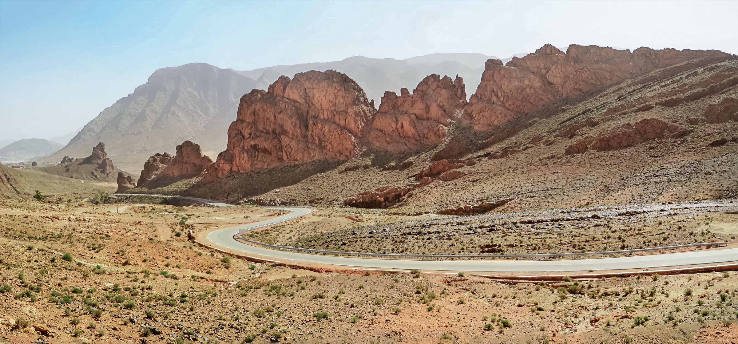
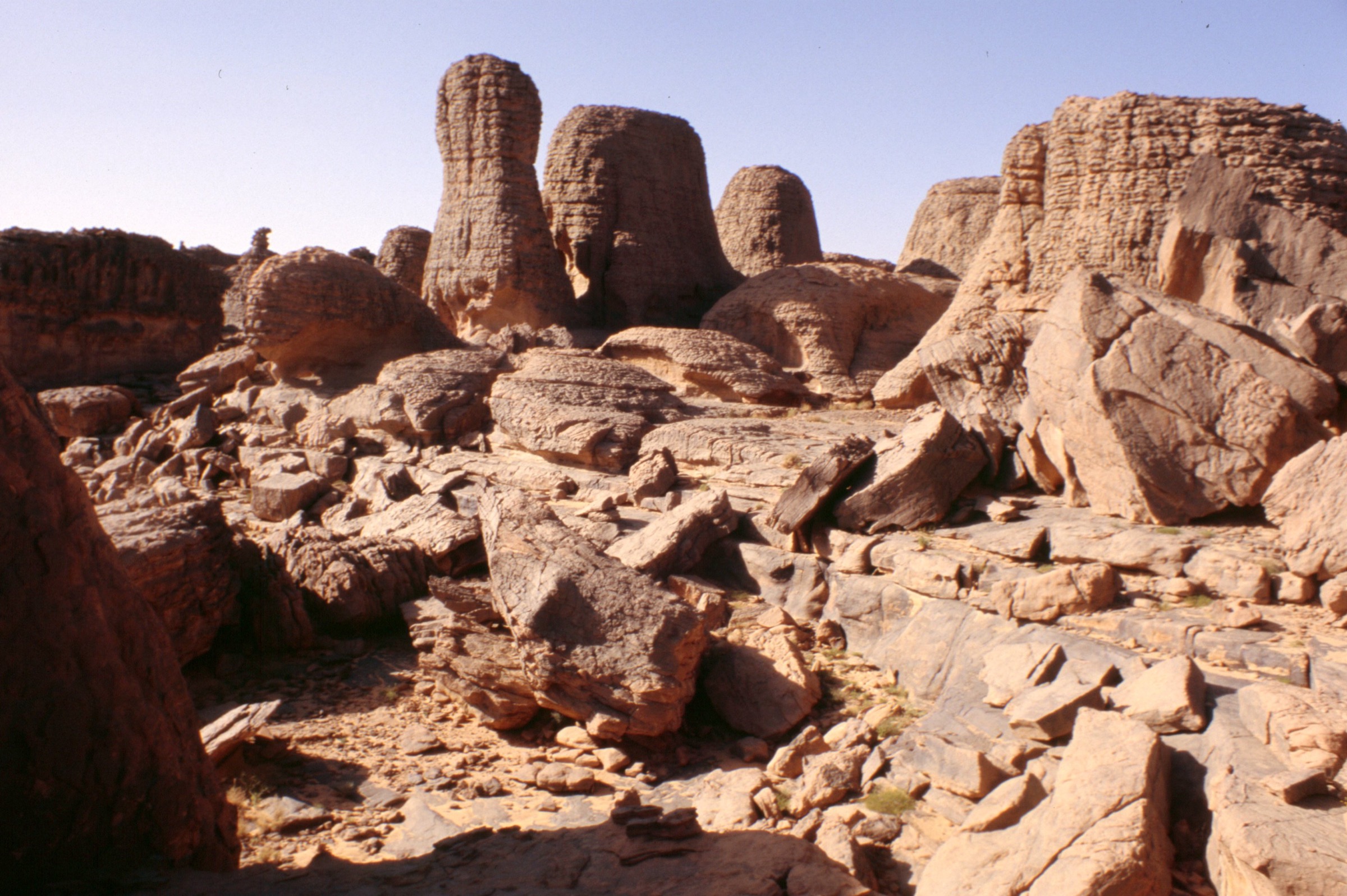
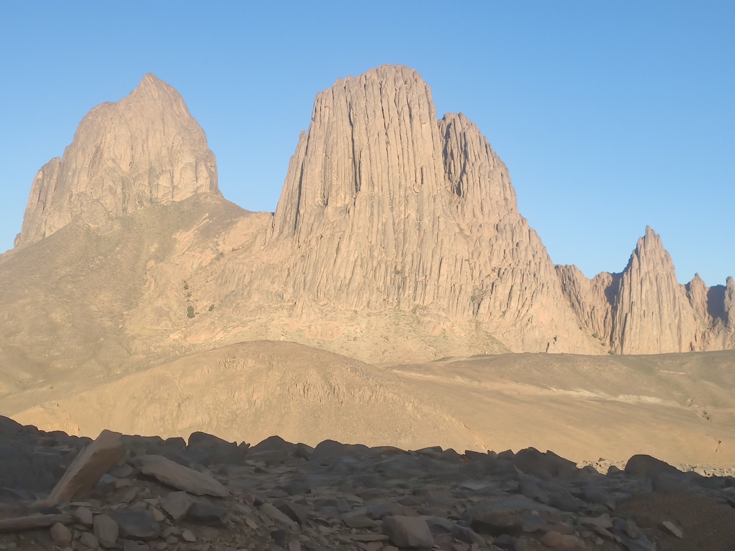
The Ahaggar, often called the Hoggar, is a remote Saharan volcanic and granitic mountain region around Tamanrasset, the Atakor, Assekrem, Tahart, Ilamane, and Mount Tahat. Its classic walking character is expedition-based: vehicle-supported approaches, short but steep summit climbs, high volcanic plateaus, and desert camps rather than continuous waymarked public trails.
Public route data exists, but it is scattered across individual Wikiloc recordings and some route lists. Several tracks are short summit routes with useful statistics; other famous routes are vehicle approaches or multi-day traverses. Verification labels therefore distinguish clean walking tracks from candidate routes supported by non-walking or listing-level sources.
Selection rationale
The selection focuses on the famous Assekrem viewpoint/summit area, Mount Tahat, nearby Tahart/Atakor summit routes, a Tahleft high-point candidate, and the Assekrem refuge approach. The first two are the most important; the latter three are included to give actual published route statistics while flagging the limitations of the sources.
- Sommet Assekrem loop — the signature Assekrem viewpoint/summit circuit.
- Mount Tahat summit route from Tahart — the marquee Hoggar high-point objective.
- Tahat Atakor direct climb — a second publicly listed Tahat-side ascent.
- Sommet Tahleft 2688 m — a short high-summit add-on from the Tahart cluster.
- Assekrem refuge approach walk — a candidate refuge approach line.
Summary table
| # | Hike | Route type | Distance | Gain | Max elevation | Difficulty |
|---|---|---|---|---|---|---|
| 1 | Sommet Assekrem loop | Loop | 2.20 km | 135 m | 2,678 m on source track; title cites 2,780 m | Easy–moderate |
| 2 | Mount Tahat summit route from Tahart | Out-and-back or short traverse, exact geometry unresolved | 6.64 km | 560 m | Route title cites 2,929 m; exact source-track maximum unresolved | Hard |
| 3 | Tahat Atakor direct climb | Out-and-back or short traverse, exact geometry unresolved | 6.47 km | 496 m | source description cites Tahat as Algeria’s highest summit | Hard |
| 4 | Sommet Tahleft 2688 m | Out-and-back or short point-to-point, exact geometry unresolved | 2.49 km | 191 m | Route title cites 2,688 m; source-track maximum unresolved | Moderate–hard |
| 5 | Assekrem refuge approach walk | Point-to-point source track; walking suitability unresolved | 7.97 km | 353 m | 2,717 m | Candidate only — source is not walking-specific |
Before you go
Required equipment
The same baseline equipment applies across all five walks:
- Desert-capable day-hiking kit: broken-in boots or approach shoes, sun hat, sunglasses, high-SPF sunscreen, and light long sleeves.
- Large water carry. Treat 3–5 litres as a planning floor for moderate days and more for hot, exposed, or remote routes.
- Offline navigation, paper/map backup where available, power bank, headlamp, first-aid kit, and emergency shelter layer.
- Food, electrolyte salts, warm layer for high plateaus, and windproof layer for exposed ridges.
- Local guide or locally verified access plan where protected-area, border, military, or remote-desert rules apply.
Current access and safety notes
- Heat, dehydration, sun exposure, and very long distances between reliable water points.
- Weak or absent waymarking; GPS tracks may describe an individual recording rather than a maintained trail.
- Flash-flood risk in wadis and canyons after storms, even where the surrounding desert is dry.
- Remote rescue context: phone coverage, road access, and local transport options may be poor or absent.
- Current access, guide, permit, and security conditions must be checked locally before publication or field use.
1. Sommet Assekrem loop
Snapshot
Itinerary
A short high-plateau loop around the Assekrem summit/viewpoint area. The route is not long, but it takes place high above 2,500 m and is exposed to wind, sun, and rapid temperature changes.
This is the logical day-hike form of Assekrem: a compact circuit from the vehicle/refuge side to the celebrated viewpoint/summit area and back, suitable as an acclimatisation or sunrise/sunset walk when local logistics allow.
Why it is essential
Assekrem is one of the signature landscapes of the Hoggar, famous for its volcanic skyline and hermitage/viewpoint setting. It is the most accessible essential walking objective in the region.
Hazards and notes
- High plateau wind, cold, and sun exposure can be severe despite the short distance.
- The source track maximum elevation differs from the route title elevation; exact summit/toponym should be checked.
GPX / KML links
| Source | URL | Format / access | Reuse status |
|---|---|---|---|
| Wikiloc: Sommet Assekrem 2780 m | wikiloc.com | Source route page / GPX via Wikiloc | Stats verified from source page; route-file reuse not confirmed under Wikiloc terms |
External links
2. Mount Tahat summit route from Tahart
Snapshot
Itinerary
The route uses the public Tahart hiking listing for the track named Monte Tahat 2.929 m. It is a compact but steep ascent to Algeria’s best-known national high point, with about 560 m of recorded ascent over 6.64 km.
The terrain should be expected to be rocky and dry, with no waymarked alpine-trail infrastructure. The exact route page and descent line must be checked before any publication-grade GPX is derived.
Why it is essential
Tahat is the marquee summit of the Hoggar and the obvious high-point objective for the region. Even with partial source resolution, it must be represented.
Hazards and notes
- Steep rocky ascent, remote approach logistics, and limited rescue options.
- Exact source page and maximum elevation need confirmation.
GPX / KML links
| Source | URL | Format / access | Reuse status |
|---|---|---|---|
| Wikiloc Tahart listing: Monte Tahat 2.929 m | wikiloc.com | Trail listing with source route link | Listing statistics checked; exact route-file page still unresolved |
External links
3. Tahat Atakor direct climb
Snapshot
Itinerary
This is a second publicly listed Tahat-side ascent, shorter and slightly less ascent-heavy than the Monte Tahat listing but still steep. It is retained as a direct Atakor-style summit route because the source description explicitly notes the rocky nature of the climb.
For a final guidebook this may merge with the main Mount Tahat entry if both tracks prove to be variants of the same ascent. For now it gives a separately sourced option with its own distance/ascent figures.
Why it is essential
The Hoggar’s walking identity is built around rocky volcanic summits. This direct Tahat/Atakor climb represents that character with actual public statistics.
Hazards and notes
- Likely rocky underfoot with scrambling-like movement possible in places, depending on exact line.
- This may duplicate the Mount Tahat route; exact geometry comparison is still needed.
GPX / KML links
| Source | URL | Format / access | Reuse status |
|---|---|---|---|
| Wikiloc Tahart listing: Tahat Atakor | wikiloc.com | Trail listing with source route link | Listing statistics checked; exact route-file page still unresolved |
External links
4. Sommet Tahleft 2688 m
Snapshot
Itinerary
A short high-summit objective from the Tahart route cluster, listed as Sommet Tahleft 2688 m. The public listing gives a compact 2.49 km route with about 191 m of ascent.
This route should be treated as a summit add-on or short high-altitude objective rather than a full-day expedition on its own. Its value is in showing the cluster of volcanic/granitic high points around Tahart.
Why it is essential
Tahleft adds a second high Atakor summit to the Hoggar set and may be useful in a real itinerary as a short objective around the Tahart/Assekrem logistics base.
Hazards and notes
- Exact source page, line, and summit confirmation are unresolved.
- Short distance does not remove exposure, heat/cold, or remote-rescue concerns.
GPX / KML links
| Source | URL | Format / access | Reuse status |
|---|---|---|---|
| Wikiloc Tahart listing: Sommet Tahleft 2688 m | wikiloc.com | Trail listing with source route link | Listing statistics checked; exact route-file page still unresolved |
External links
5. Assekrem refuge approach walk
Snapshot
Itinerary
The source track leads toward the Assekrem refuge area and provides useful elevation and distance data, but it is categorised as off-road rather than hiking. It should not be presented as a maintained walking trail until local confirmation is obtained.
As a guidebook candidate, the line is still useful: it describes the high approach terrain between the road-access side and the refuge/viewpoint area, and may inform later manual route drafting if a walking line is confirmed.
Why it is essential
The refuge and Assekrem approach are central to how many visitors experience the Hoggar. The candidate is included because it has actual route statistics and clear relevance, but it needs walking-specific verification.
Hazards and notes
- Source activity is off-road, so walking legality, safety, and line choice are unresolved.
- Vehicle traffic, rough tracks, and high-desert exposure may be present.
GPX / KML links
| Source | URL | Format / access | Reuse status |
|---|---|---|---|
| Wikiloc: Assekrem refuge | wikiloc.com | Off-road source route page / GPX via Wikiloc | Stats verified from source page; not a verified walking GPX |
External links
External links
| Source | URL |
|---|---|
| Wikiloc — Sommet Assekrem 2780 m | wikiloc.com |
| Wikiloc — Assekrem refuge source track | wikiloc.com |
| Wikiloc — Tahart hiking listings | wikiloc.com |
| Wikiloc — Tamanghasset hiking listings | wikiloc.com |
| Wikiloc | wikiloc.com |