Regional overview
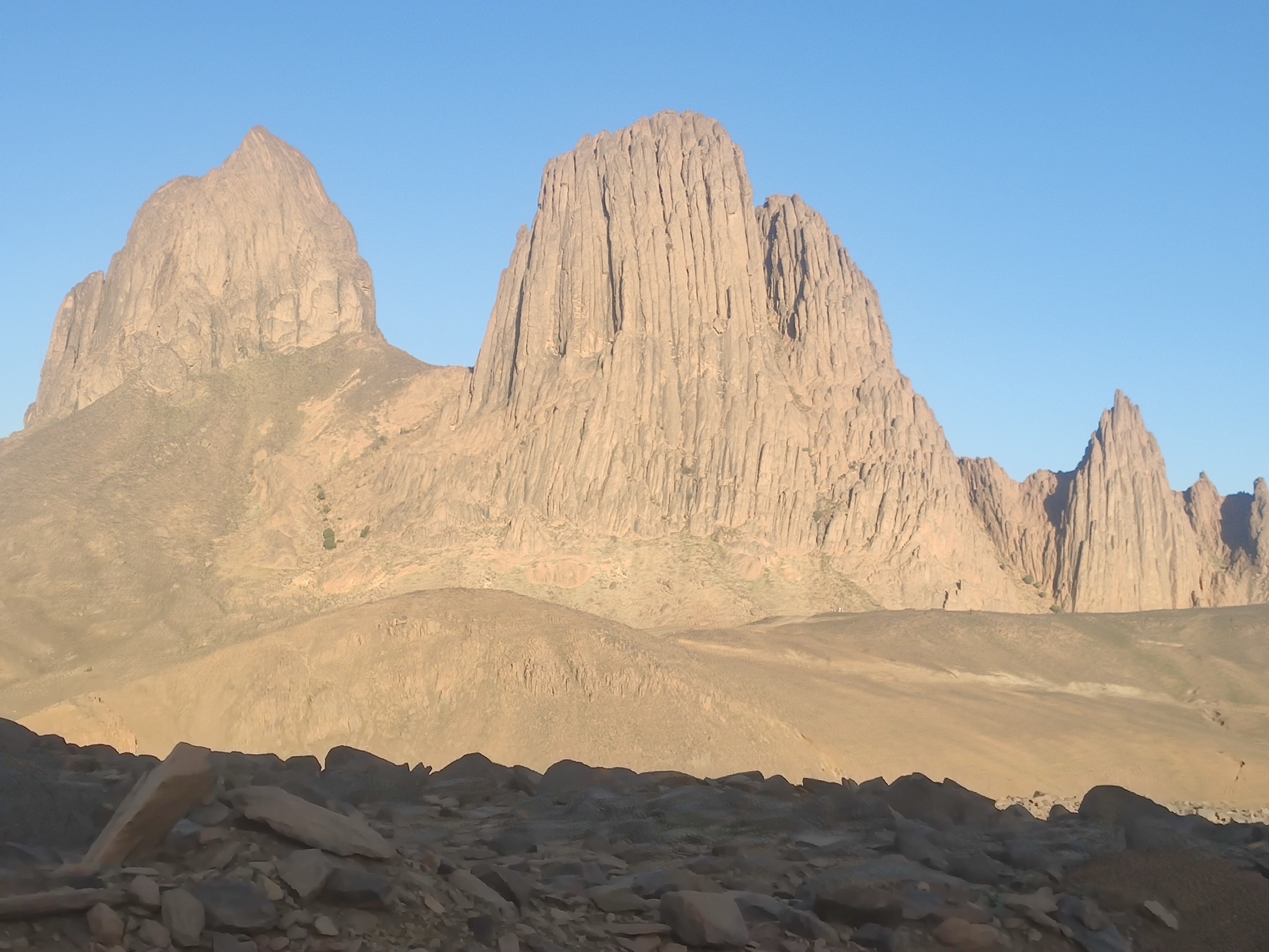
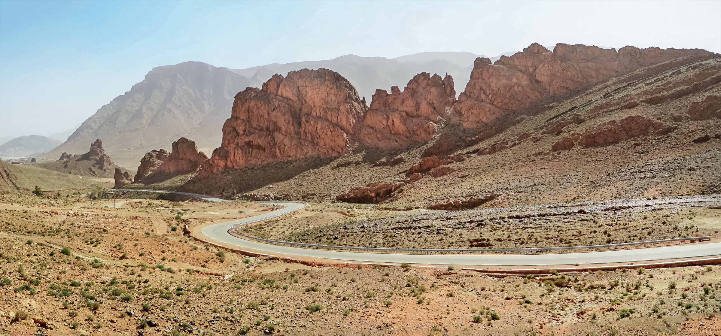
The Aures are the eastern high mountain block of the Algerian Atlas, extending toward the Tebessa-Kasserine highlands on the Tunisian side. The walking character is mixed: high summits such as Chelia, cedar and open upland terrain in Belezma, dramatic canyon-village landscapes around Ghoufi and Menaa, and, on the Tunisian edge, Jebel ech Chambi.
Route data is strongest on Wikiloc. Official, guidebook-quality walking descriptions were not resolved for most routes, so this entry uses public track statistics with conservative verification labels. Jebel ech Chambi is included to keep the Algeria-Tunisia region from becoming Algeria-only, but the available sourced track is a motorcycle/vehicle trail rather than a dedicated walking route.
Selection rationale
The five routes cover the highest Aures summit, the Ghoufi canyon landscape, a Menaa cultural-valley walk, Belezma National Park high forest/summit terrain, and Tunisia’s Chambi high point. The result is a balanced but caveated catalogue entry: the core Algerian hikes are better supported, while the Tunisian route requires replacement with a walking-specific source if one is later found.
Summary table
| # | Hike | Country | Route type | Distance | Gain | Max elevation | Difficulty |
|---|---|---|---|---|---|---|---|
| 1 | Djebel Chelia summit route | Algeria | One-way | 4.30 km | 460 m | 2,211 m (summit cited 2,328 m) | Moderate |
| 2 | El Ghoufi canyon loop | Algeria | Loop | 4.53 km | 197 m | 727 m | Moderate |
| 3 | Menaa valley and old-village walk | Algeria | Loop / local traverse, geometry unresolved | 10.00 km | 389 m | Moderate | |
| 4 | Belezma National Park: Tichaw to Idhissen | Algeria | Point-to-point | 10.78 km | 188 m | 2,193 m | Difficult |
| 5 | Jebel ech Chambi high-point track | Tunisia | Point-to-point source track; walking suitability unresolved | 27.29 km | 838 m | 1,355 m (summit cited 1,544 m) | Candidate only — long, source not walking-specific |
1. Djebel Chelia summit route
Snapshot
Itinerary
The public track climbs from the El Ksour side toward Djebel Chelia, the best-known high summit of the Aures. The source route is recorded as one-way and lists a maximum track elevation below the commonly cited summit elevation, so the exact relationship between the track endpoint and the true summit must be checked.
In guidebook terms this should be written as a high, exposed summit outing: a direct climb from mountain road access into the upper Aures, with broad views if conditions are clear and possible snow or cold outside the main dry season.
Why it is essential
Chelia is the iconic high summit of the Aures and one of the principal high mountains of northern Algeria. Even with the source-elevation discrepancy, it belongs in the essential list.
Equipment
- Mountain day-hiking boots or shoes with good grip
- Warm layer, windproof shell, sun protection, water, food, map/GPS, and headlamp
- Winter traction may be needed if snow or ice remains
- Local guide or current route confirmation recommended because waymarking and access status are unclear
Hazards and notes
- Snow and ice are possible on the highest Aures slopes.
- The source track maximum elevation does not match the commonly cited summit height; final summit route must be verified.
- Sparse waymarking and rapidly changing mountain weather can complicate navigation.
- Current security/access conditions should be checked locally before field use.
GPX / KML links
| Source | URL | Format | Reuse status |
|---|---|---|---|
| Wikiloc: Djbel Chelia — le mont chelia | wikiloc.com | Source route page / GPX via Wikiloc | Stats verified from source page; route-file reuse not confirmed under Wikiloc terms |
External links
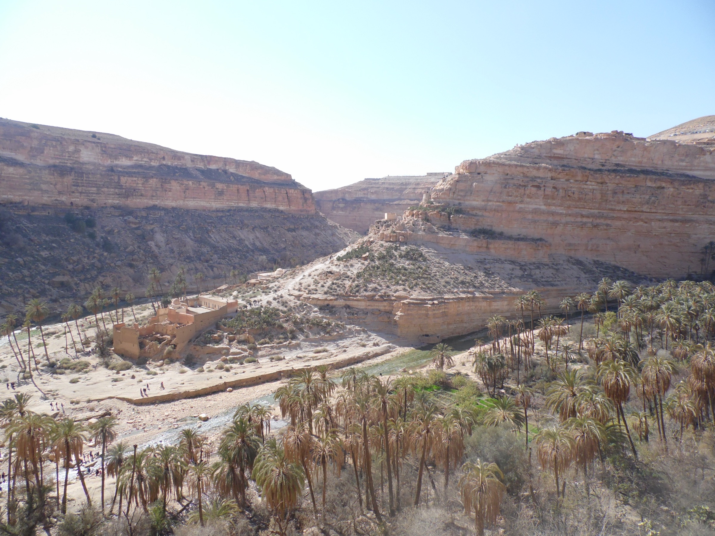
2. El Ghoufi canyon loop
Snapshot
Itinerary
A short loop through the Ghoufi canyon landscape, recorded from the Rhoufi area. The track descends and reascends between viewpoints, river/canyon floor sections, and built/ruined settlement features visible in the source waypoints.
The route is compact but not trivial: the canyon setting means steep drops, heat, and route-finding around ledges or old paths may matter more than the distance suggests. It is best treated as a half-day canyon walk with time for cultural and photographic stops.
Why it is essential
Ghoufi is one of the emblematic Aures landscapes: a canyon, settlement, and oasis-gorge complex rather than a pure summit objective. This loop is the clearest short sourced walking route for that landscape.
Equipment
- Sturdy walking shoes or boots, sun protection, water, and food
- Offline map/GPS and headlamp if exploring side paths or ruins
- Respectful cultural-site behaviour; do not enter unstable structures
Hazards and notes
- Canyon heat and limited shade.
- Possible loose rock, old masonry, drops, and unprotected edges.
- Flash-flood hazard in the wadi after rain.
- Access to old settlement areas may be restricted or unsafe; confirm locally.
GPX / KML links
| Source | URL | Format | Reuse status |
|---|---|---|---|
| Wikiloc: El Ghoufi | wikiloc.com | Source route page / GPX via Wikiloc | Stats verified from source page; route-file reuse not confirmed under Wikiloc terms |
External links
3. Menaa valley and old-village walk
Snapshot
Itinerary
This route uses the Menaa hiking listing, which records a 10 km walk with nearly 400 m of ascent. The route appears to sample the village, orchard, and slope landscape of the Menaa side of the Aures rather than a single high summit.
Later field editing should confirm whether the best public line is a village loop, a ridge approach, or a traverse to a road end. The route belongs here because Menaa is central to the inhabited Aures valley landscape and complements the canyon and summit routes.
Why it is essential
The Aures are culturally inhabited mountains, not just empty ridges. Menaa gives the catalogue an essential village-valley route with actual published distance and ascent figures.
Equipment
- Comfortable hiking shoes, sun protection, water, food, and offline navigation
- Respectful dress and behaviour in village and orchard areas
- Guide/local contact recommended to avoid private paths and to confirm the exact route
Hazards and notes
- Private land and village-route sensitivity.
- Heat and limited shade in lower valley sections.
- Exact geometry was not resolved in this pass, so the route remains partial until the source page is reviewed.
GPX / KML links
| Source | URL | Format | Reuse status |
|---|---|---|---|
| Wikiloc Menaa hiking listing | wikiloc.com | Trail listing with source route link | Listing statistics checked; exact route-file page still unresolved under Wikiloc terms |
External links
4. Belezma National Park: Tichaw to Idhissen
Snapshot
Itinerary
The source track crosses high Belezma terrain from the Zfizef side, described as Mont de Tichaw to Sommet de Idhissen. The profile is unusual for the batch: modest ascent but substantial descent from a high start, with the source high point above 2,190 m.
This is best planned as a highland traverse requiring a shuttle or local pickup. The long total time in the source suggests either difficult terrain, stops, or route-finding, so the route should not be downgraded merely because the ascent number is modest.
Why it is essential
Belezma adds forested/high-plateau national-park terrain to an Aures selection otherwise dominated by Chelia and canyon villages. It also has one of the cleaner full-stat source pages in the region.
Equipment
- Mountain walking kit, warm layer, waterproof/windproof layer, sun protection, and navigation backup
- Enough water for a full day unless local water is confirmed
- Shuttle plan for the one-way route
Hazards and notes
- One-way logistics and potentially slow terrain.
- High-elevation weather, snow, fog, and cold outside settled seasons.
- Protected-area rules and access points need confirmation.
GPX / KML links
| Source | URL | Format | Reuse status |
|---|---|---|---|
| Wikiloc: Parc national de Belezma | wikiloc.com | Source route page / GPX via Wikiloc | Stats verified from source page; route-file reuse not confirmed under Wikiloc terms |
External links
5. Jebel ech Chambi high-point track
Snapshot
Itinerary
The available route source is a motorcycle/vehicle track through Jebel Chambi Natural Park, not a hiking-specific track. It provides actual distance, ascent, descent, and altitude data, but its suitability as a foot route is unresolved.
Chambi remains in the catalogue because it is Tunisia’s high point and is described as part of the Aures/Tebessa eastern Atlas context. A future pass should replace this with an official park walking route or a confirmed summit-walk GPX if one is available.
Why it is essential
The region line includes Tunisia, and Jebel ech Chambi is the obvious high-point representative. It is retained with a strict candidate label because the available route source is not a hiking route.
Equipment
- Do not use the motorcycle track as a walking recommendation without local confirmation
- If a walking version is verified later: mountain shoes, sun protection, water, navigation, and warm/wind layer
- Local guide, official access confirmation, and current security check required before field use
Hazards and notes
- The source is a motorcycle route, so gradients, surfaces, legality, and walking practicality are unresolved.
- The source track maximum elevation does not reach the commonly cited 1,544 m summit height.
- Current park, security, and access conditions must be checked with official/local sources.
GPX / KML links
| Source | URL | Format | Reuse status |
|---|---|---|---|
| Wikiloc: Djebel Chambi — Settembre 2010 | wikiloc.com | Motorcycle/vehicle source route page | Stats verified from source page; not a verified walking GPX, Wikiloc terms apply |
External links
External links
| Source | URL |
|---|---|
| Wikiloc — Djbel Chelia | wikiloc.com |
| Wikiloc — El Ghoufi | wikiloc.com |
| Wikiloc — Menaa hiking listings | wikiloc.com |
| Wikiloc — Parc national de Belezma | wikiloc.com |
| Wikiloc — Djebel Chambi source track | wikiloc.com |
| Peakbagger — Jebel Chambi | peakbagger.com |
| Britannica — Saharan Atlas | britannica.com |