


.JPG)

.JPG)
Regional overview
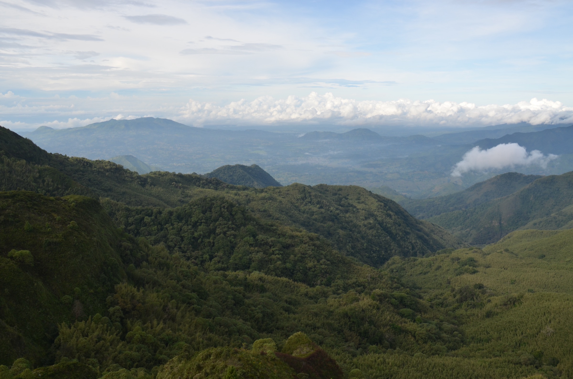
The Kipengere Range, also called the Livingstone Mountains, runs along the northeastern shore of Lake Nyasa / Malawi in the Njombe and Mbeya regions of southwestern Tanzania. The range extends roughly 100 km southeast from Mbeya, forms part of the eastern escarpment of the East African Rift, and contains most of Tanzania’s Southern Highlands above 2,000 m. Public sources describe it as having “more the character of a plateau than of a true mountain range,” with broad montane grasslands above the treeline and narrow montane evergreen forest in stream valleys and hollows.
Three protected areas anchor the range. Kitulo National Park (412.9 km², gazetted 2005) sits at about 2,600 m between the Kipengere, Poroto, and Livingstone Mountains; botanists call it the “Serengeti of Flowers” and locals call it Bustani ya Mungu (“Garden of God”) for its November-April wildflower displays. Mpanga-Kipengere Game Reserve (1,574 km², 2002) covers a large southern block of the range with elevations from about 1,080 m to 2,858 m. Additional forest reserves include Livingstone, Ndumbi, Irungu, and Chimala Scarp.
Walking infrastructure is minimal. Most range-wide objectives are research candidates rather than waymarked routes. The two main documented walking products are open wildflower walks on Kitulo and the published Kimani Falls day hike in Mpanga-Kipengere. Sources mention a half-day walk from Kitulo across the Livingstone Mountains to Matema Beach on Lake Nyasa, and a “Mtorwi peak” trek from the Nhumbe valley, but neither has a verifiable public GPX, measured trailhead, or measured distance in this research pass. Main access is from Mbeya in the northwest and from Njombe in the southeast; the Matema lakeshore offers a southern approach.
Sources also disagree on the elevation of Mount Mtorwi. Wikipedia and several Tanzanian tourism sources list it as 2,961 m and as southern Tanzania’s highest peak. Peakvisor lists Mtorwi at 2,729 m with only 139 m prominence, placing Mount Rungwe (2,961 m / 2,981 m depending on source) higher. This article treats Mtorwi as the Kipengere Range high-point candidate while flagging the elevation conflict in the snapshot.
Selection rationale
Kitulo is the clear anchor objective: it is the most documented Kipengere walking destination, with established access from Numbe Gate and a defined wildflower season. Mtorwi is included as the range high-point summit candidate. The Livingstone escarpment descent to Matema is included because several Tanzanian tourism sources describe it as a half-day route, even though distance and trailhead are not measured. Chaluhangi is added as a second high-elevation candidate at 2,900 m to avoid reducing the catalogue to a single summit. Kimani Falls in Mpanga-Kipengere replaces a previously considered “Mount Iwungilo” entry once research confirmed that Iwungilo is a town and ward in Njombe Urban District, not a named summit.
Summary table
| # | Hike | Country | Route type | Distance | Gain | Max elevation | Difficulty |
|---|---|---|---|---|---|---|---|
| 1 | Kitulo Plateau wildflower walk | Tanzania | Open grassland walk from Numbe Gate; geometry partially verified | Unresolved | Unresolved | ~2,600 m (plateau) | Easy-moderate candidate |
| 2 | Mount Mtorwi summit candidate | Tanzania | Out-and-back summit candidate from Nhumbe valley; geometry unresolved | Unresolved | Unresolved | 2,961 m (disputed; 2,729 m per Peakvisor) | Hard candidate |
| 3 | Livingstone escarpment descent to Matema | Tanzania | Point-to-point descent candidate; geometry unresolved | Unresolved | Unresolved | ~2,600 m start; ~474 m at Lake Nyasa | Moderate-hard candidate |
| 4 | Mount Chaluhangi summit candidate | Tanzania | Out-and-back summit candidate; geometry unresolved | Unresolved | Unresolved | 2,900 m (Peakvisor) / 2,933 m (Wikipedia) | Hard candidate |
| 5 | Kimani Falls day hike, Mpanga-Kipengere | Tanzania | Out-and-back to a 70 m waterfall; geometry partially verified | Unresolved | Unresolved | Unresolved | Moderate candidate |
1. Kitulo Plateau wildflower walk
Snapshot
Itinerary
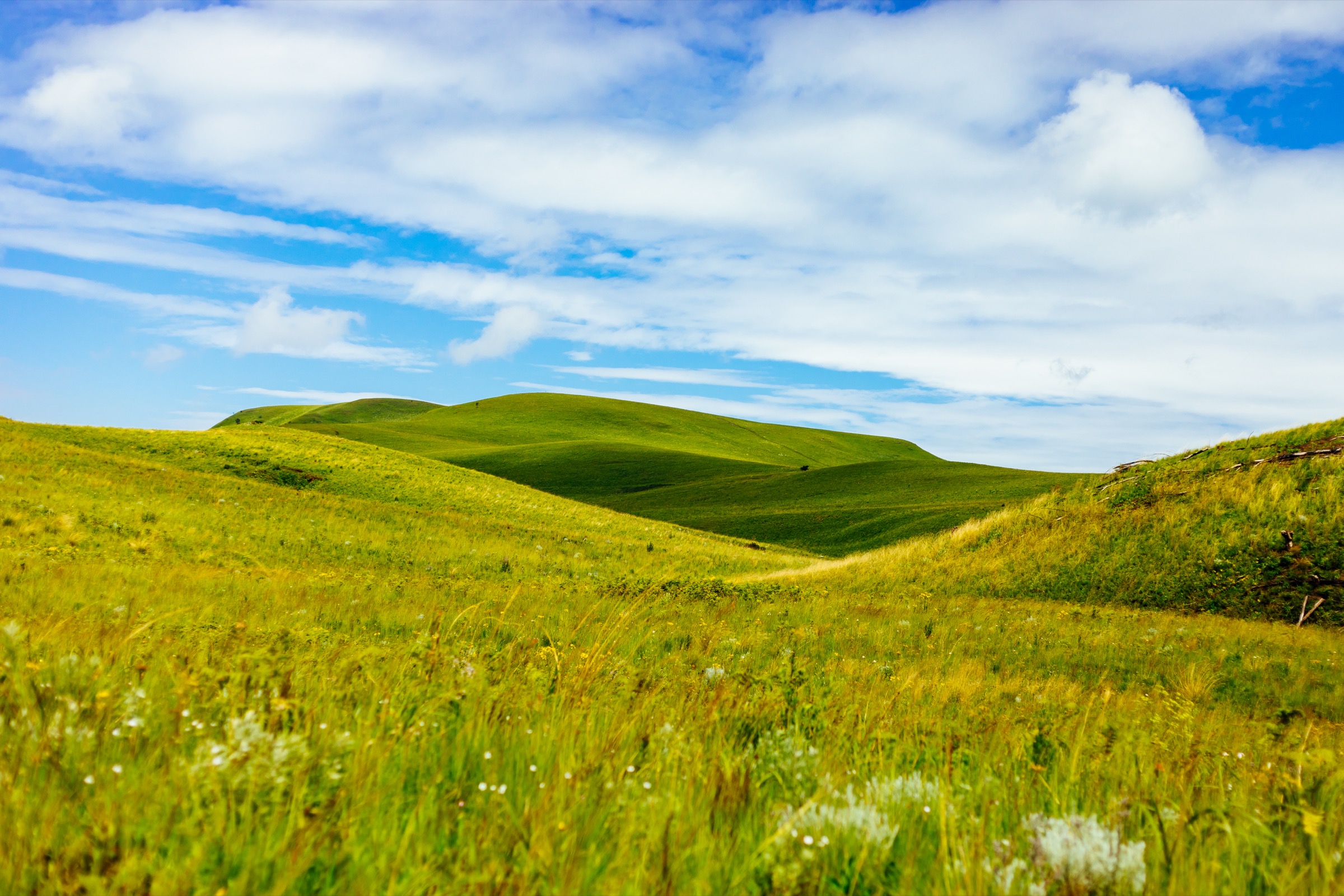
This is the best-documented Kipengere walking objective. From the Chimala-Matamba road, the park headquarters at Numbe Gate is the standard entry. From there, open grassland walks cross the broad volcanic plateau between the Kipengere, Poroto, and Livingstone mountains at around 2,600 m. A specific route line, distance, or measured ascent figure was not verified in this pass; the walk is described in source material as a flexible open-grassland walk shaped around wildflower viewing and birding rather than a fixed waymarked trail.
Why it is essential
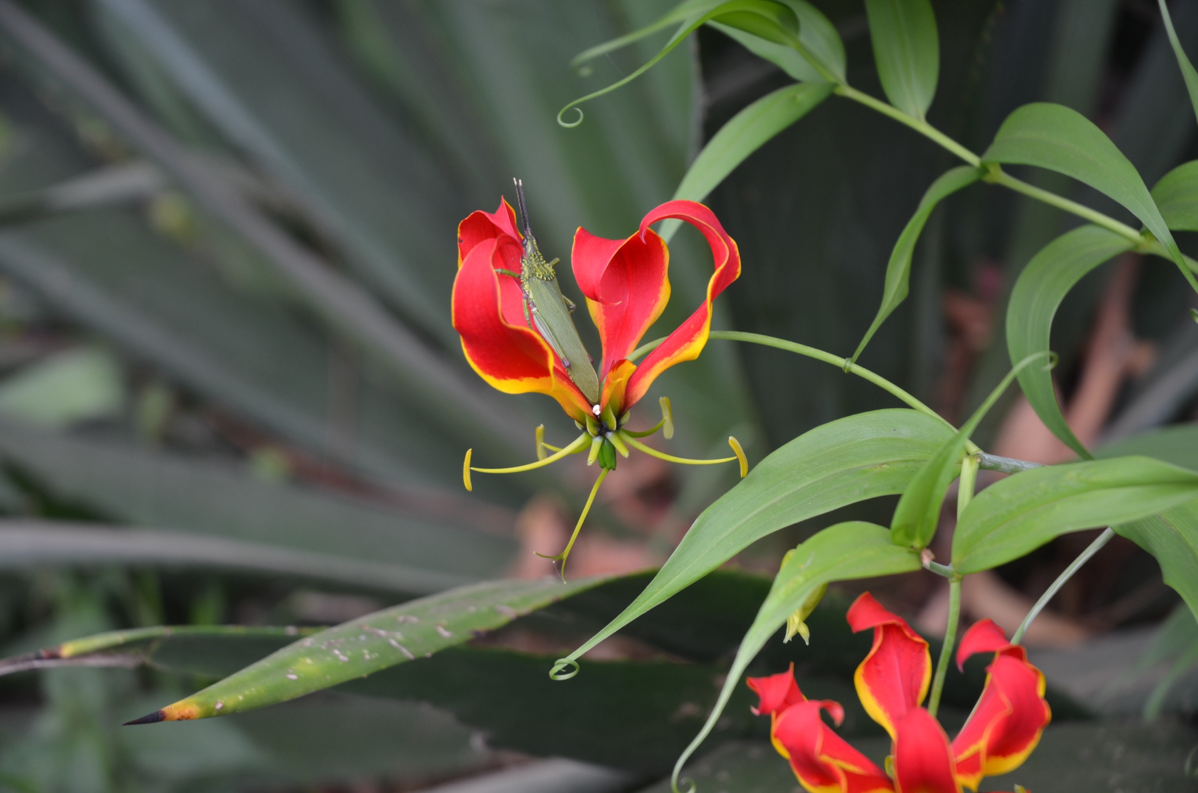
Kitulo is the headline objective of the Kipengere Range. It hosts more than 350 vascular plant species, including roughly 45 terrestrial orchid species and three endemics (Brachystelma kituloensis, Impatiens rosulata, Pterygodium ukingense), and is the first national park in tropical Africa created primarily to protect plant life. The November-April bloom is the period most often referenced in source material as the reason to make the trip.
Equipment
Sturdy walking shoes or light boots, warm layer (frost is common June-August), waterproof shell, sun protection, water, and basic navigation backup. A local guide via TANAPA or an operator is the practical default given limited signage on the plateau.
Hazards and notes
Altitude (~2,600 m), cold and wet weather, frost in dry-season nights, fast-changing visibility, and lack of waymarked trails are the main practical issues. Wildlife is mostly small mammals (reedbuck, duiker, jackal) plus reintroduced plains zebra; large predators are not the dominant concern.
GPX / KML links
| Source | URL | Format / access | Reuse status |
|---|---|---|---|
| TANAPA — Kitulo National Park | tanzaniaparks.go.tz | Official park information page | TANAPA terms apply; no GPX published |
| OpenStreetMap point/map | openstreetmap.org | Source map, not a route file | OSM data is ODbL; useful for location cross-checking only |
External links
- TANAPA — Kitulo National Park
- Wikipedia — Kitulo National Park
- Wikipedia — Kipengere Range
- U.S. Department of State Tanzania Travel Advisory
2. Mount Mtorwi summit candidate
Snapshot
Itinerary
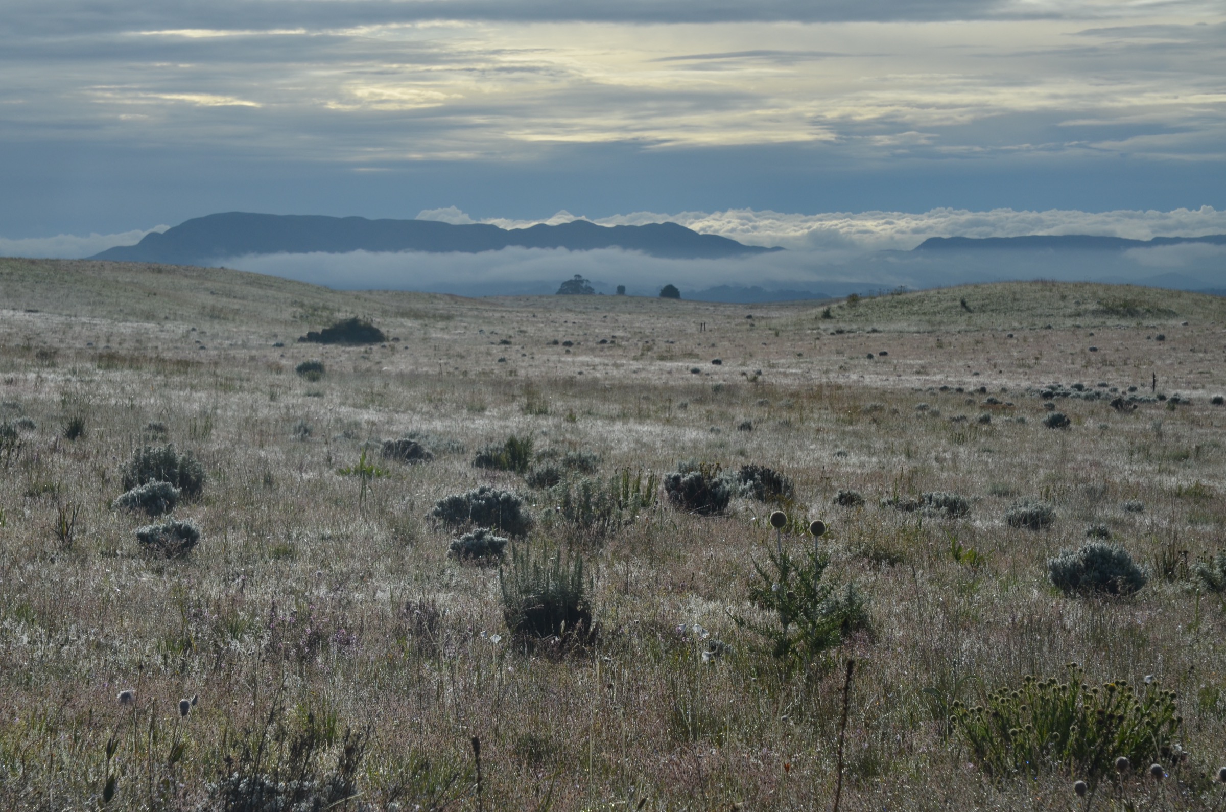
Source material places the Mtorwi summit on the eastern side of Kitulo National Park, approached on an ascending natural trail from the Nhumbe valley. A measured trailhead, distance, ascent total, route file, or logged GPS track was not verified. The Peakvisor coordinates for Mtorwi are -9.08333, 34.01667.
Why it is essential
Mtorwi is referenced in Wikipedia and several Tanzanian tourism sources as the highest peak in the Kipengere Range and as the highest summit in southern Tanzania. It is the necessary anchor high-point objective for any Kipengere day-hike catalogue, even though its quoted elevation varies significantly between sources (2,961 m vs 2,729 m).
Equipment
Mountain hiking equipment: sturdy boots, warm layer, weatherproof shell, hat and gloves, navigation backup, water, food, and headtorch. A local guide, ideally arranged via TANAPA Kitulo or a Mbeya-based operator, is the practical default.
Hazards and notes
Altitude (~2,700-2,961 m), cold/wet highland weather, mist on the summit ridge, route-finding off-trail, and remoteness are the principal hazards. The elevation discrepancy between sources is itself a signal that this objective is under-documented for public hiking.
GPX / KML links
| Source | URL | Format / access | Reuse status |
|---|---|---|---|
| Peakvisor — Mtorwi | peakvisor.com | Summit page (lists 2,729 m, prominence 139 m) | Peakvisor terms apply; no GPX downloaded or reused |
| OpenStreetMap point/map | openstreetmap.org | Source map | OSM data is ODbL; candidate location cross-check only |
External links
- Peakvisor — Mtorwi
- Wikipedia — Kipengere Range
- TANAPA — Kitulo National Park
- U.S. Department of State Tanzania Travel Advisory
3. Livingstone escarpment descent to Matema
Snapshot
Itinerary
Tanzanian tourism sources describe a half-day walk from Kitulo National Park across the Livingstone Mountains to Matema Beach on the Lake Nyasa shore. The corridor links the high plateau at about 2,600 m to the lake shore at roughly 474 m above sea level, a vertical drop of around 2,100 m. A measured trail file, named trailhead, and definitive distance were not verified, and the source descriptions read more like a guided traverse than a standalone day route.
Why it is essential
This is the route that captures the Kipengere Range’s defining landscape contrast: high cool grassland and montane forest dropping down through the Livingstone escarpment to the warm tropical shore of Lake Nyasa. No other documented Kipengere walk packages this gradient in a single day.
Equipment
Mountain hiking equipment with strong descent-capable footwear, trekking poles, sun protection, water, food, navigation backup, and a clear lakeshore pickup plan at Matema. A guide is the practical default.
Hazards and notes
Sustained descent on potentially eroded slopes, abrupt climate change between plateau and lake shore, mist on the upper slopes, and uncertain logistics on the lake-shore side are the key concerns. Walking the line in the opposite direction (Matema up to Kitulo) is unrealistic as a single day-walk given ~2,100 m of ascent.
GPX / KML links
| Source | URL | Format / access | Reuse status |
|---|---|---|---|
| OpenStreetMap — Matema | openstreetmap.org | Source map/search | OSM data is ODbL; candidate geometry cross-check only |
| Wikiloc search | wikiloc.com | Search page | Wikiloc terms apply if a track is later selected; no GPX selected in this pass |
External links
- TANAPA — Kitulo National Park
- Wikipedia — Livingstone Mountains
- U.S. Department of State Tanzania Travel Advisory
4. Mount Chaluhangi summit candidate
Snapshot
Itinerary
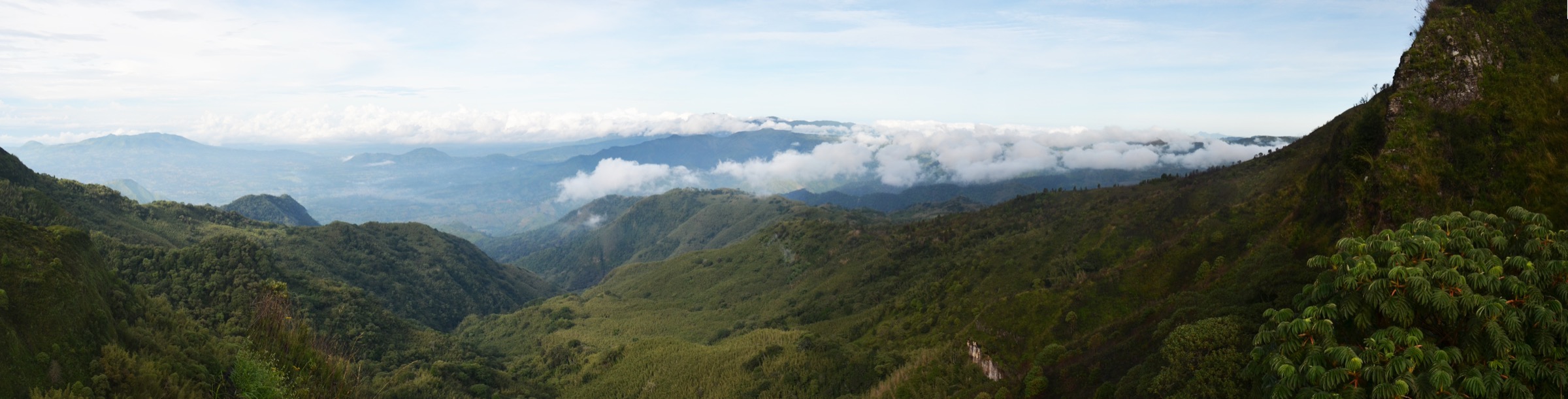
A publication-ready route line was not verified. Chaluhangi is reported as overlooking the Lake Malawi / Nyasa basin from inside the Kipengere Range. Peakvisor lists 2,900 m with 678 m prominence; Wikipedia’s Kipengere Range article lists 2,933 m. No measured trailhead, distance, ascent total, or downloadable route file was found.
Why it is essential
Chaluhangi is the second-highest peak listed in the Kipengere Range and gives the catalogue a second high-elevation objective on a different part of the range from Mtorwi. It belongs in the list as a research target rather than a publication-ready route.
Equipment
Mountain hiking equipment with warm and waterproof layers, sturdy boots, navigation backup, water, food, and headtorch. Local guiding is the practical default until a verified line exists.
Hazards and notes
Altitude, cold/wet weather, mist, route-finding, and remoteness. Because the summit has limited public ascent records, expectation should be set at a research target, not a guidebook objective.
GPX / KML links
| Source | URL | Format / access | Reuse status |
|---|---|---|---|
| Peakvisor — Kipengere Range | peakvisor.com | Range page with Chaluhangi listed | Peakvisor terms apply; location source only |
| OpenStreetMap search | openstreetmap.org | Source map | OSM data is ODbL; candidate location cross-check only |
External links
- Peakvisor — Kipengere Range
- Wikipedia — Kipengere Range
- U.S. Department of State Tanzania Travel Advisory
5. Kimani Falls day hike, Mpanga-Kipengere Game Reserve
Snapshot
Itinerary
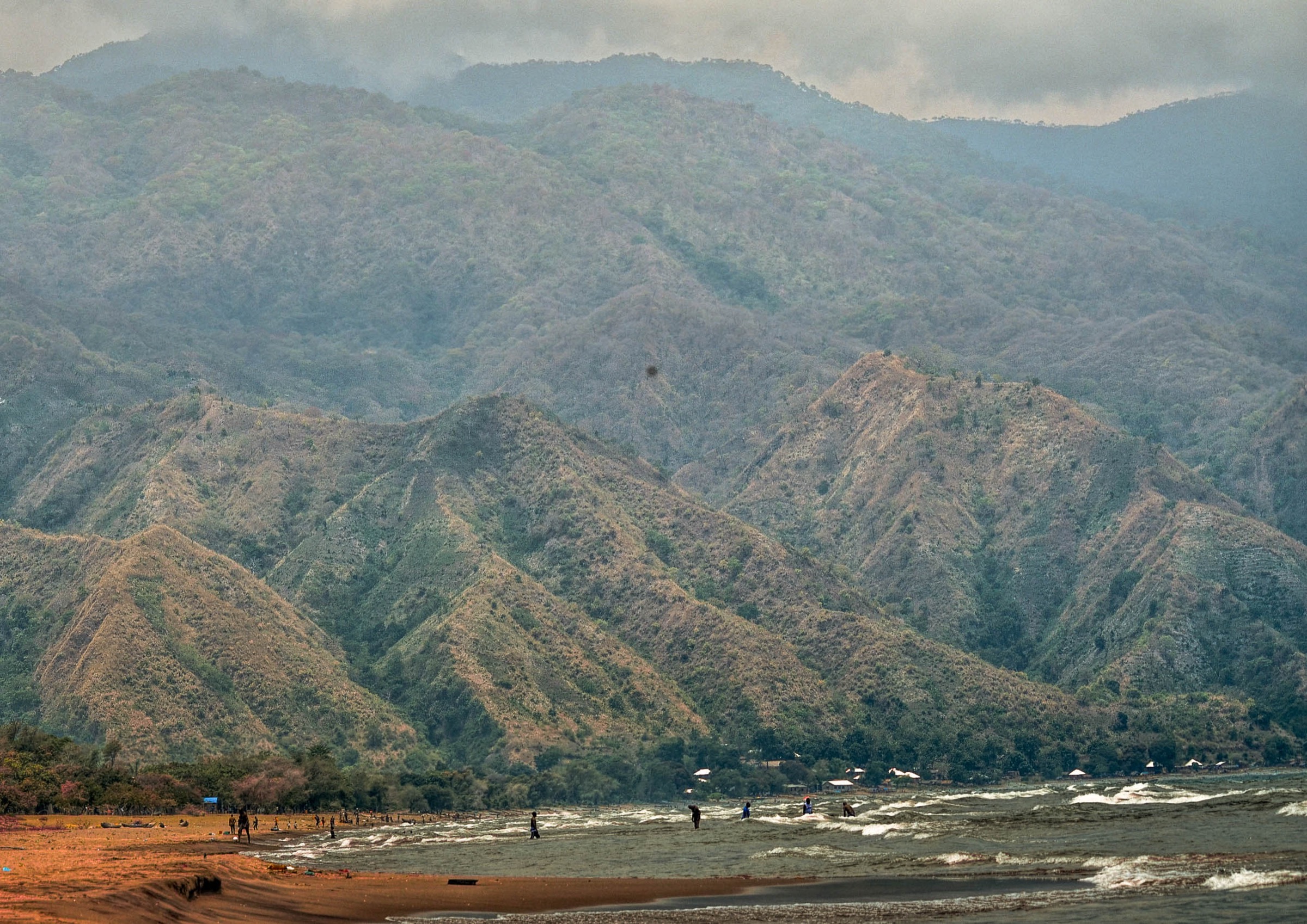
Mpanga-Kipengere Game Reserve (1,574 km², gazetted 2002) covers a large southern block of the Kipengere Range and is administered by the Tanzania Wildlife Management Authority (TAWA). The reserve’s published description identifies a day hike to Kimani Falls, a 70 m waterfall, as its main walking objective. Other named falls in the reserve include Nyaugenge, Nyaluliva, Ikovo, Merere, and Nyihemi. A measured trailhead, distance, ascent total, and downloadable route file were not verified.
Why it is essential
Kimani Falls is the only documented southern-Kipengere day-hike objective with a named published destination. It also gives the catalogue an entry that is not centered on Kitulo or the high summit ridge, balancing the selection across the range.
Equipment
Standard to moderate hiking equipment: sturdy footwear, water, sun protection, warm/weatherproof layer, and navigation backup. Reserve fees and a TAWA-authorised guide will likely be required at entry.
Hazards and notes
Steep ground near waterfalls, slippery rock in the rainy season, wildlife encounters in a game reserve, and uncertain trailhead logistics are the key issues. Travellers should confirm current TAWA entry rules and guide requirements before planning.
GPX / KML links
| Source | URL | Format / access | Reuse status |
|---|---|---|---|
| TAWA — Mpanga-Kipengere Game Reserve | tawa.go.tz | Official reserve page | TAWA terms apply; no GPX published |
| Tanzania Tourism — Mpanga-Kipengere | tanzaniatourism.go.tz | Tourism portal description | Tanzania Tourism terms apply |
External links
- TAWA — Mpanga-Kipengere Game Reserve
- Tanzania Tourism — Mpanga-Kipengere Game Reserve
- Wikipedia — Kipengere Range
- U.S. Department of State Tanzania Travel Advisory
Missing data / follow-up work
- The elevation of Mount Mtorwi is disputed across sources (2,961 m per Wikipedia and Tanzanian tourism sites; 2,729 m per Peakvisor with only 139 m prominence). The true range high point identity needs ground or topo verification.
- No measured trailhead, distance, ascent, or downloadable GPX/KML was confirmed for any of the five entries; all distance and gain fields are Unresolved.
- The Kitulo-to-Matema “half-day” descent is referenced by several Tanzanian tourism sources but has no public measured line; the actual descent total (~2,100 m vertical) makes the half-day framing optimistic for most walkers.
- “Mount Iwungilo” could not be verified as a named summit — research located only Iwungilo town/ward in Njombe Urban District. Chaluhangi was substituted as a verifiable second high-elevation Kipengere objective.
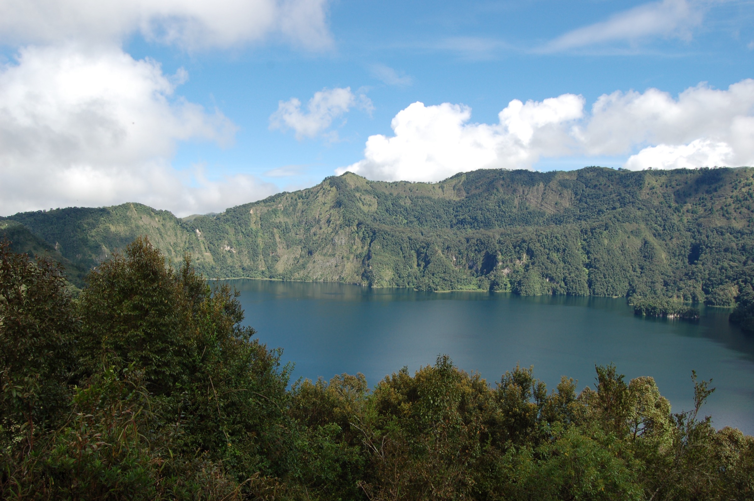
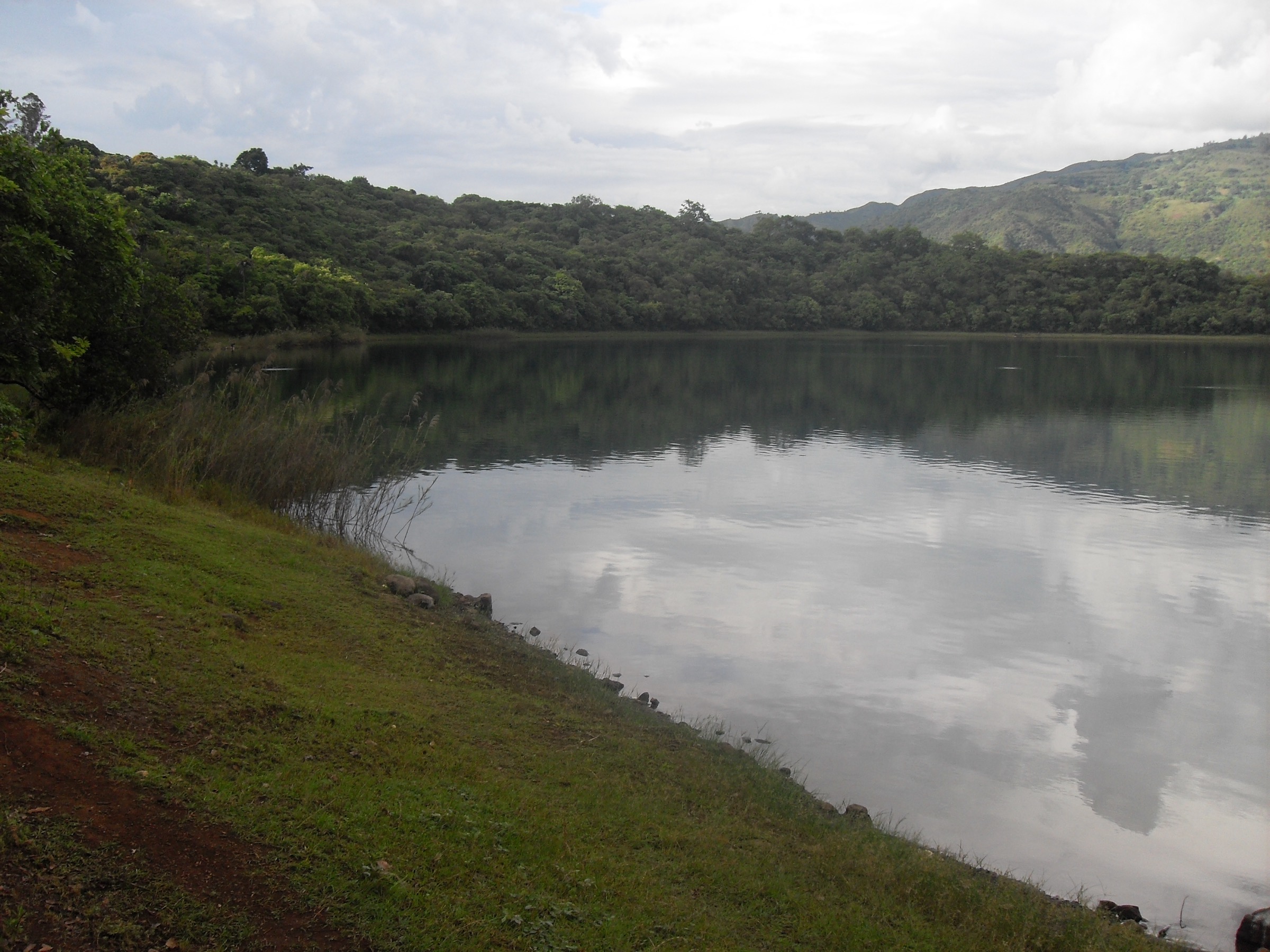
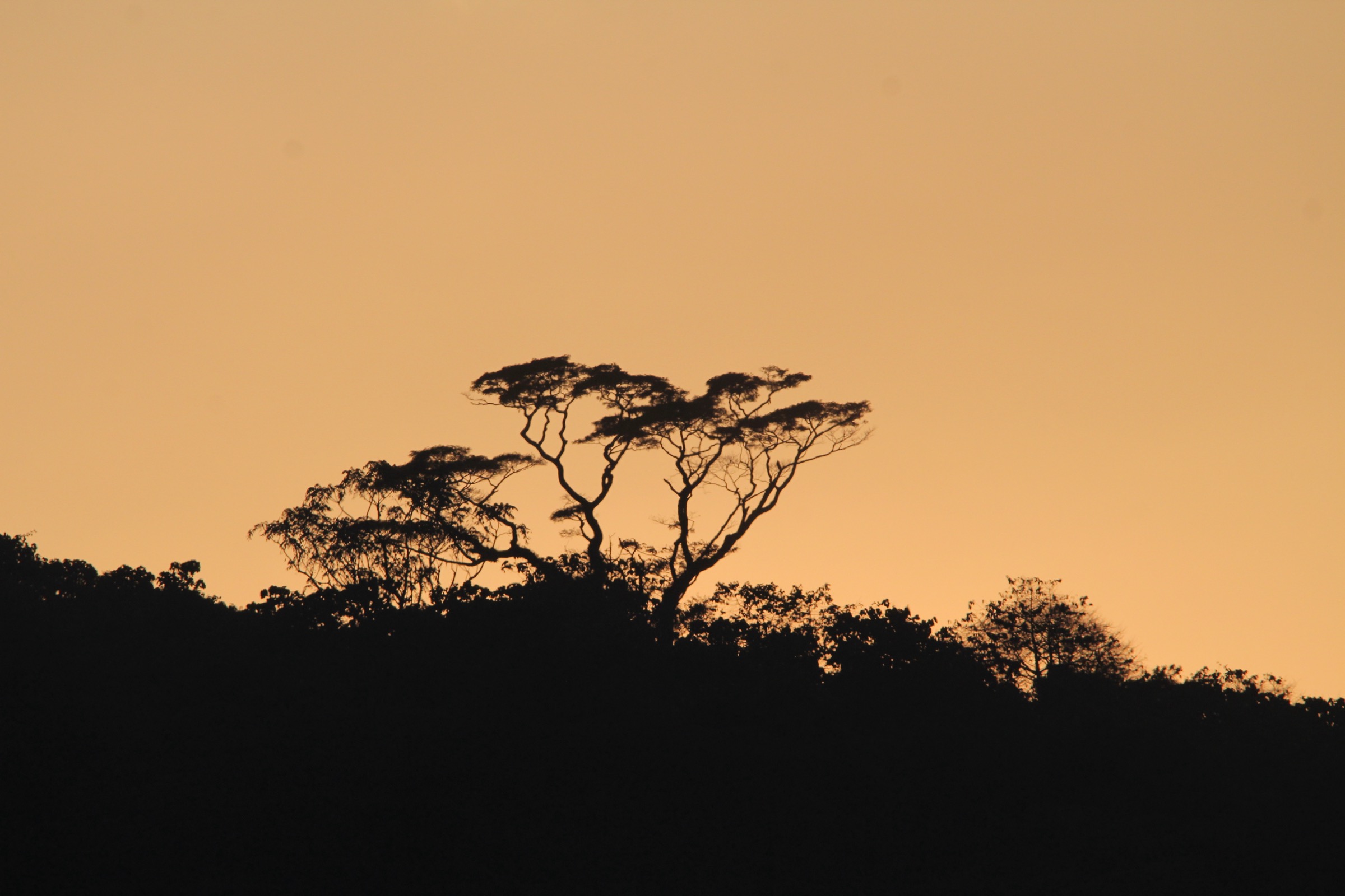
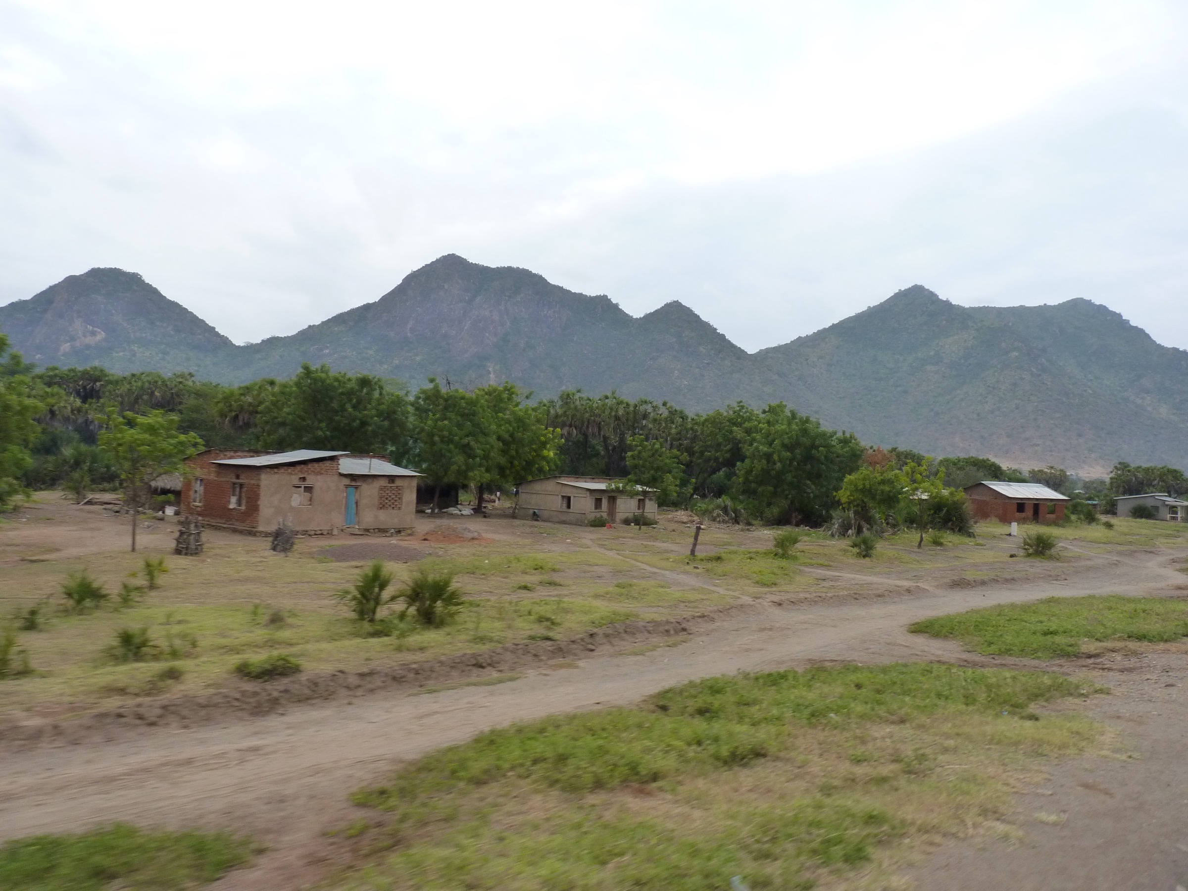
- Inline figures for entries 2, 4, and 5 are regional/representative Kipengere photos, not photos of the specific summit or trail.
- Tanzania is under a U.S. State Department Level 3 “Reconsider Travel” advisory (increase from Level 2 reported in late 2025), with crime, terrorism (most acute in Mtwara Region), unrest, and targeting of LGBTQ+ travellers cited. Travel advisory checked 13 June 2026.
External links
| Resource | Link |
|---|---|
| Wikipedia — Kipengere Range | en.wikipedia.org |
| Wikipedia — Kitulo National Park | en.wikipedia.org |
| Wikipedia — Livingstone Mountains | en.wikipedia.org |
| TANAPA — Kitulo National Park | tanzaniaparks.go.tz |
| TAWA — Mpanga-Kipengere Game Reserve | tawa.go.tz |
| Tanzania Tourism — Mpanga-Kipengere | tanzaniatourism.go.tz |
| Peakvisor — Kipengere Range | peakvisor.com |
| Peakvisor — Mtorwi | peakvisor.com |
| U.S. Department of State Tanzania Travel Advisory | travel.state.gov |