Regional overview
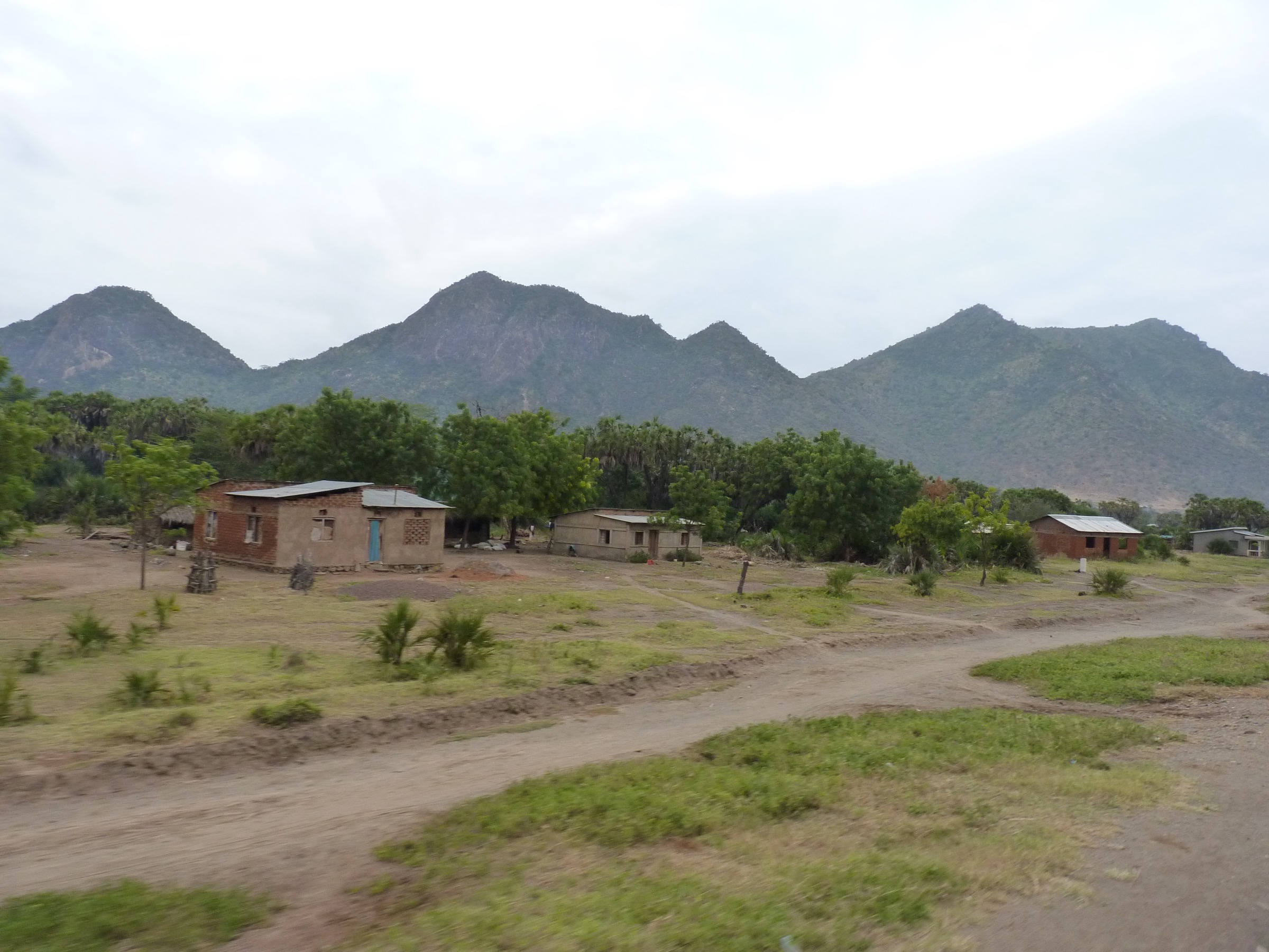
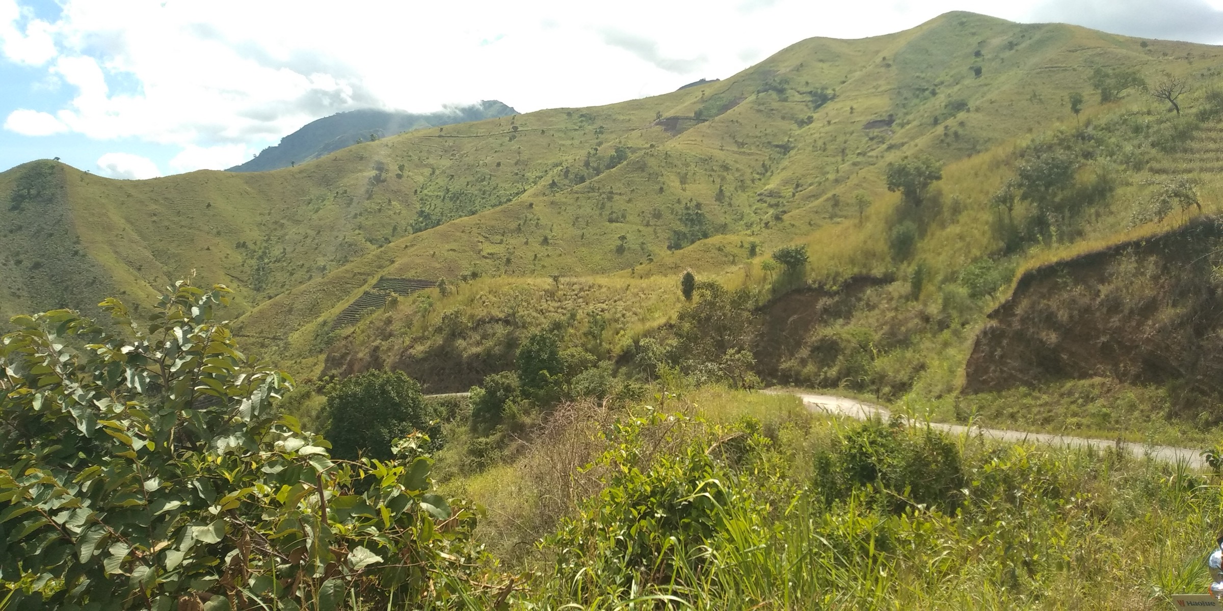
The Mitumba Mountains are the western-rift highlands west of Lake Kivu and Lake Tanganyika, centred on eastern Democratic Republic of the Congo. The supplied region also includes Burundi and Tanzania, so this entry treats nearby Congo-Nile Divide and Lake Tanganyika mountain-forest walks as part of the broader catalogue unit where they represent the same western-rift hiking character.
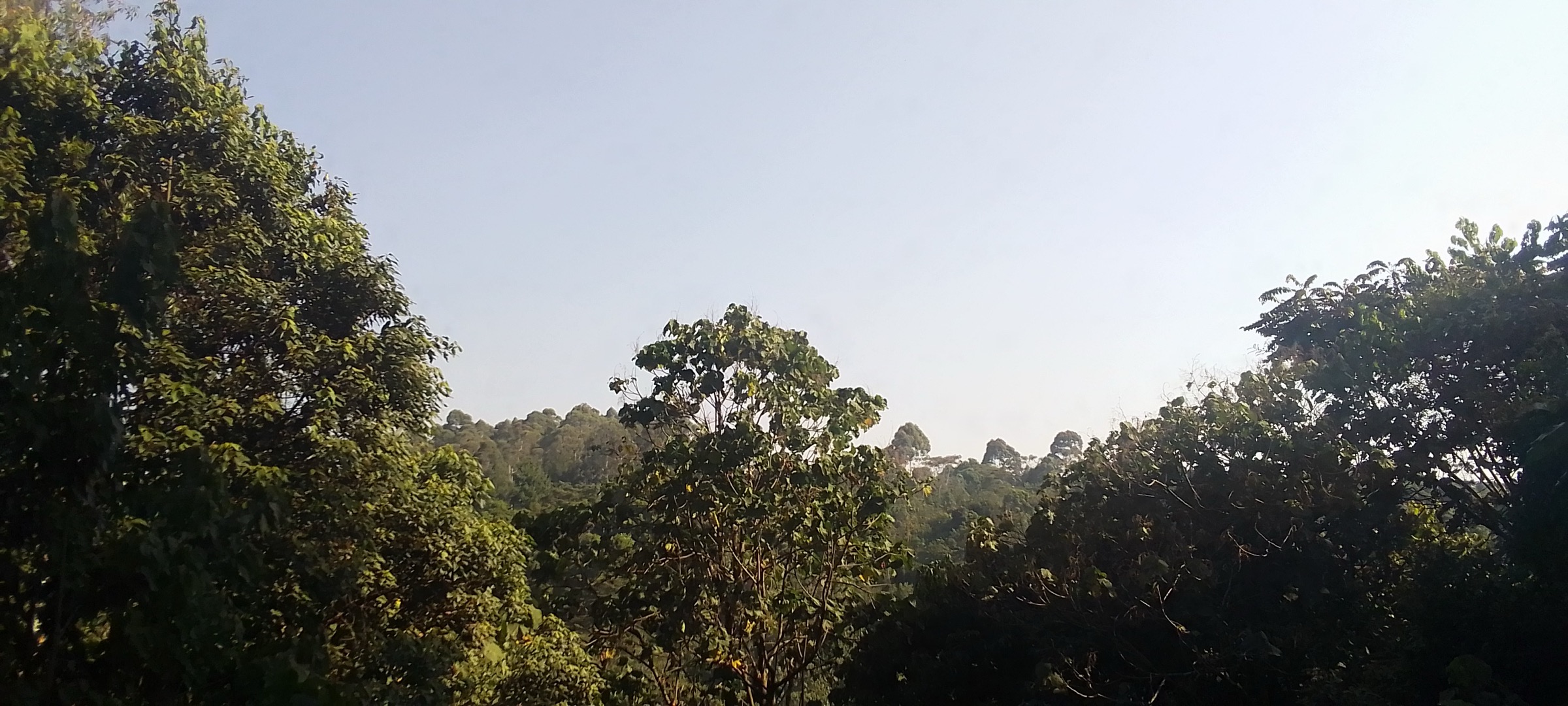
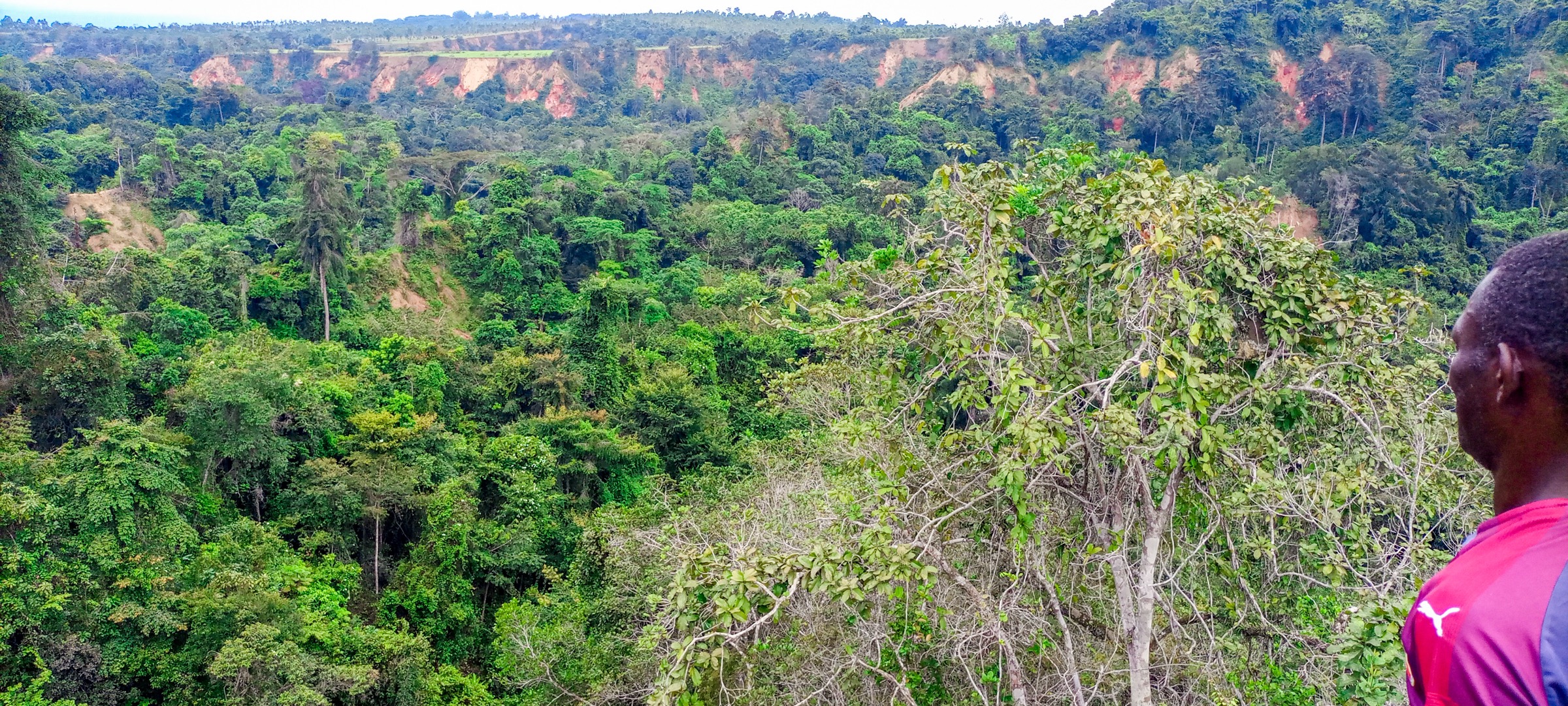
The best documented terrain is in protected areas: Kahuzi-Biega National Park around Mount Kahuzi and Mount Biega, Burundi’s Kibira and southern highland forests, and Tanzania’s Gombe Stream National Park. Terrain ranges from humid montane forest and bamboo to subalpine heather on the Kahuzi-Biega volcanoes, plus steep forest valleys dropping to Lake Tanganyika.
Security, park access, guide requirements, and route status are critical. Some areas of eastern DRC and the Lake Tanganyika escarpment are not suitable for casual independent hiking without current local advice. GPX coverage is sparse; only one route-stat source was found with a clear public trail record.
Selection rationale
The five hikes cover the DRC high-point summit, the second named Kahuzi-Biega volcano, a Burundi Congo-Nile Divide forest walk, a documented Burundi point-to-point mountain traverse, and a Tanzanian Lake Tanganyika forest walk. Exact Mitumba taxonomy is strongest for the two DRC hikes and broader western-rift for Burundi/Tanzania.
Summary table
| # | Hike | Country | Route type | Distance | Gain | Max elevation | Difficulty |
|---|---|---|---|---|---|---|---|
| 1 | Mount Kahuzi summit trail | Democratic Republic of the Congo | Out-and-back, unverified | Unresolved | Unresolved | 3,308-3,317 m depending on source | Candidate only |
| 2 | Mount Biega highland forest route | Democratic Republic of the Congo | Out-and-back, unverified | Unresolved | Unresolved | 2,790 m | Candidate only |
| 3 | Kibira Teza-Rwegura montane forest walk | Burundi | Guided forest walk, unresolved | Unresolved | Unresolved | >1,100 m park elevation; exact route max unresolved | Candidate only |
| 4 | Burundi Mountain Walk: Kigutu - Kigwena | Burundi | Point-to-point | 26.1 km | 959 m | 1,966 m | Hard |
| 5 | Gombe Stream Kakombe / Jane’s Peak forest walk | Tanzania | Guided forest walk, unresolved | Unresolved | Unresolved | Park rises to about 1,600 m | Candidate only |
1. Mount Kahuzi Summit Trail

Snapshot
Itinerary
The candidate route is the Mount Kahuzi summit trail inside Kahuzi-Biega National Park. The checked sources confirm Mount Kahuzi as the highest Mitumba peak and a named dormant volcano within the park, but no official route distance, trailhead, or GPX was found.
Why it is essential
Mount Kahuzi is the defining summit of the Mitumba Mountains and the high point of Kahuzi-Biega National Park. A USDA/Forest Service Commons image also confirms trail rehabilitation work on the Mt Kahuzi trail, supporting the existence of a managed hiking line, although not its current public details.
Equipment
Mountain hiking equipment: sturdy boots, rain shell, warm layer, food, water, navigation backup, headtorch for delays, and park guide/permit arrangements.
Hazards and notes
Altitude, mud, dense forest, cold rain, and security/access conditions are significant. Kahuzi-Biega has been listed as a World Heritage site in danger; current park advice is essential before any field use.
GPX / KML links
| Source | URL | Format / access | Reuse status |
|---|---|---|---|
| OpenStreetMap search | openstreetmap.org | Map/search | OSM data is ODbL; candidate geometry check only |
| Wikiloc search | wikiloc.com | Search page | Wikiloc terms apply; no GPX selected |
External links
- Wikipedia — Mitumba Mountains
- Wikipedia — Mount Kahuzi
- Wikipedia — Kahuzi-Biéga National Park
- UNESCO — Kahuzi-Biega National Park
2. Mount Biega Highland Forest Route
Snapshot
Itinerary
The candidate route is a guided highland forest approach to Mount Biega, the second named dormant volcano of Kahuzi-Biega National Park. The summit and elevation are sourceable, but a public day-hike route line was not found.
Why it is essential
Mount Biega is one of the two volcanoes that give Kahuzi-Biega National Park its name. It provides a complementary, lower highland objective to Mount Kahuzi.
Equipment
Mountain hiking equipment, rain protection, warm layer, insect protection, and confirmed park guiding.
Hazards and notes
Route availability, exact access, and current security conditions are unresolved. Do not treat this as self-guided.
GPX / KML links
| Source | URL | Format / access | Reuse status |
|---|---|---|---|
| OpenStreetMap search | openstreetmap.org | Map/search | OSM data is ODbL; candidate geometry check only |
| Wikiloc search | wikiloc.com | Search page | Wikiloc terms apply; no GPX selected |
External links
- Wikipedia — Kahuzi-Biéga National Park
- Wikipedia (Italian) — Monte Biéga
- UNESCO — Kahuzi-Biega National Park
3. Kibira Teza-Rwegura Montane Forest Walk
Snapshot
Itinerary
The candidate route is a guided forest walk in Kibira National Park from one of the better-known access landscapes near Teza or Rwegura. The checked sources confirm the park, montane rainforest, tea-plantation edges, and Congo-Nile Divide setting, but not a mapped public day route.
Why it is essential
Kibira is Burundi’s main montane forest national park and a logical western-rift forest counterpart to the DRC Mitumba routes.
Equipment
Standard to mountain hiking equipment, waterproof footwear, rain protection, insect protection, and local guiding.
Hazards and notes
Protected-area rules, guide requirements, exact trailhead, and seasonal path condition are unresolved. The route should not be published as self-guided without official confirmation.
GPX / KML links
| Source | URL | Format / access | Reuse status |
|---|---|---|---|
| OpenStreetMap search | openstreetmap.org | Map/search | OSM data is ODbL; candidate geometry check only |
| Wikiloc search | wikiloc.com | Search page | Wikiloc terms apply; no GPX selected |
External links
4. Burundi Mountain Walk: Kigutu - Kigwena
Snapshot
Itinerary
The route runs point-to-point from Kigutu toward Kigwena through remote Burundi highland and forest terrain. The available route description characterises it as a difficult, self-sufficient expedition rather than a simple footpath, with dense humid forest, mud, uneven ground, and the need for local experts.
Why it is essential
This is the only route in the pass with a clear public trail record, distance, gain, time estimate, and maximum elevation. It represents the long, forested Burundi highland traverse character within the supplied region.
Equipment
Mountain hiking equipment, waterproof boots, rain protection, durable long clothing, navigation backup, headtorch, first-aid kit, substantial water/food, and local experts. Arrange transport at both ends.
Hazards and notes
The route slightly exceeds the normal 25 km day-hike ceiling but is retained because AllTrails lists it as a hard day route with an 8 h 42 min average. Dense jungle, mud, bushwhacking, remoteness, and limited rescue options are major issues.
GPX / KML links
| Source | URL | Format / access | Reuse status |
|---|---|---|---|
| AllTrails: Burundi Mountain Walk Kigutu-Kigwena | alltrails.com | Route page / map source | AllTrails terms apply; source route identified; GPX download/reuse not verified |
| OpenStreetMap search | openstreetmap.org | Map/search | OSM data is ODbL; candidate geometry cross-check only |
External links
5. Gombe Stream Kakombe / Jane’s Peak Forest Walk

Snapshot
Itinerary
The candidate route is a guided forest walk in Gombe Stream National Park, potentially linking chimpanzee-tracking forest paths with Kakombe Waterfall or Jane’s Peak if park rules permit. The checked sources confirm the steep valleys, boat-only access, and walking/forest character, but no exact day-hike route statistics were verified.
Why it is essential
Gombe is one of the most famous forest-walk landscapes on Lake Tanganyika, with steep valley terrain, chimpanzee research history, and a compact mountain-forest setting.
Equipment
Standard to mountain hiking equipment, rain layer, water, insect protection, and compliance with ranger/park rules.
Hazards and notes
Wildlife rules, ranger requirements, trail availability, and boat logistics must be confirmed. Humidity, steep paths, and slippery forest ground are likely.
GPX / KML links
| Source | URL | Format / access | Reuse status |
|---|---|---|---|
| OpenStreetMap search | openstreetmap.org | Map/search | OSM data is ODbL; candidate geometry check only |
| Wikiloc search | wikiloc.com | Search page | Wikiloc terms apply; no GPX selected |
External links
External links
| Source | URL |
|---|---|
| Wikipedia — Mitumba Mountains | en.wikipedia.org |
| Wikipedia — Mount Kahuzi | en.wikipedia.org |
| Wikipedia — Kahuzi-Biéga National Park | en.wikipedia.org |
| Wikipedia (Italian) — Monte Biéga | it.wikipedia.org |
| UNESCO — Kahuzi-Biega National Park | whc.unesco.org |
| Wikipedia — Kibira National Park | en.wikipedia.org |
| AllTrails — Burundi Mountain Walk: Kigutu-Kigwena | alltrails.com |
| Wikipedia — Gombe National Park | en.wikipedia.org |
| Wikipedia (German) — Gombe-Stream-Nationalpark | de.wikipedia.org |