Regional overview
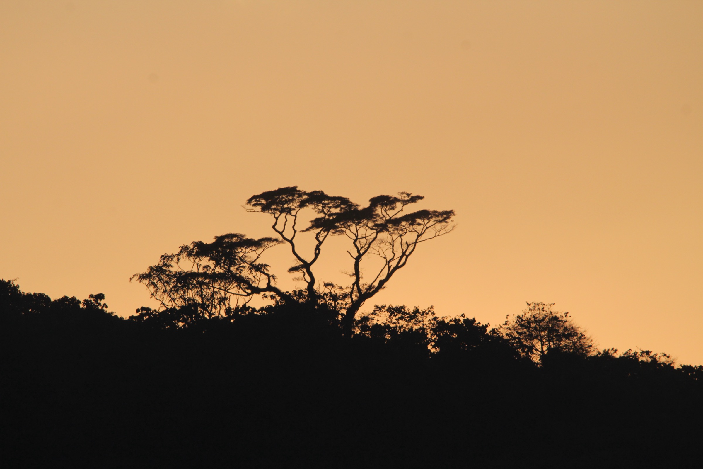
This cross-border highland region covers Rwanda’s central and southern hill country, Nyungwe’s Congo-Nile Divide rainforest, and Burundi’s highland divide around Kibira and Mount Heha. Rwanda’s official hiking guide presents the country as a “Land of a Thousand Hills” walking destination with routes from easy community trails to high forest hikes, including certified Nyanza Cultural Trails and Nyungwe National Park trails.
The Burundi side is less consistently documented for hiking. UNESCO’s Kibira tentative-list entry confirms a long, high afromontane park from Bugarama to the Rwanda border, adjoining Nyungwe, with altitudes roughly 1,600-2,600 m and regulated tourism using a circuit, but route statistics are not published there.
Selection rationale
The five hikes balance a Rwanda highland summit, an official Nyungwe peak trail, a certified cultural/viewpoint trail, Burundi’s country high point, and a candidate Burundi montane forest walk.
Summary table
| # | Hike | Country | Route type | Distance | Gain | Max elevation | Difficulty |
|---|---|---|---|---|---|---|---|
| 1 | Mount Kabuye | Rwanda | Out-and-back | 11.1 km | 957 m | 2,653 m | Hard |
| 2 | Bigugu Trail, Nyungwe | Rwanda | Out-and-back / park trail | 13.2 km | Unresolved | c. 2,950 m | Challenging |
| 3 | Nyanza Big View Trail to Mount Remera | Rwanda | Loop / community trail | 8 km | Unresolved | Unresolved | Easy-Moderate |
| 4 | Mont Heha North Ridge | Burundi | Out-and-back | Unresolved | Unresolved | 2,670-2,684 m | Moderate |
| 5 | Kibira Teza / Bugarama Forest Circuit | Burundi | Guided forest circuit candidate | Unresolved | Unresolved | 1,600-2,600 m range | Unresolved |
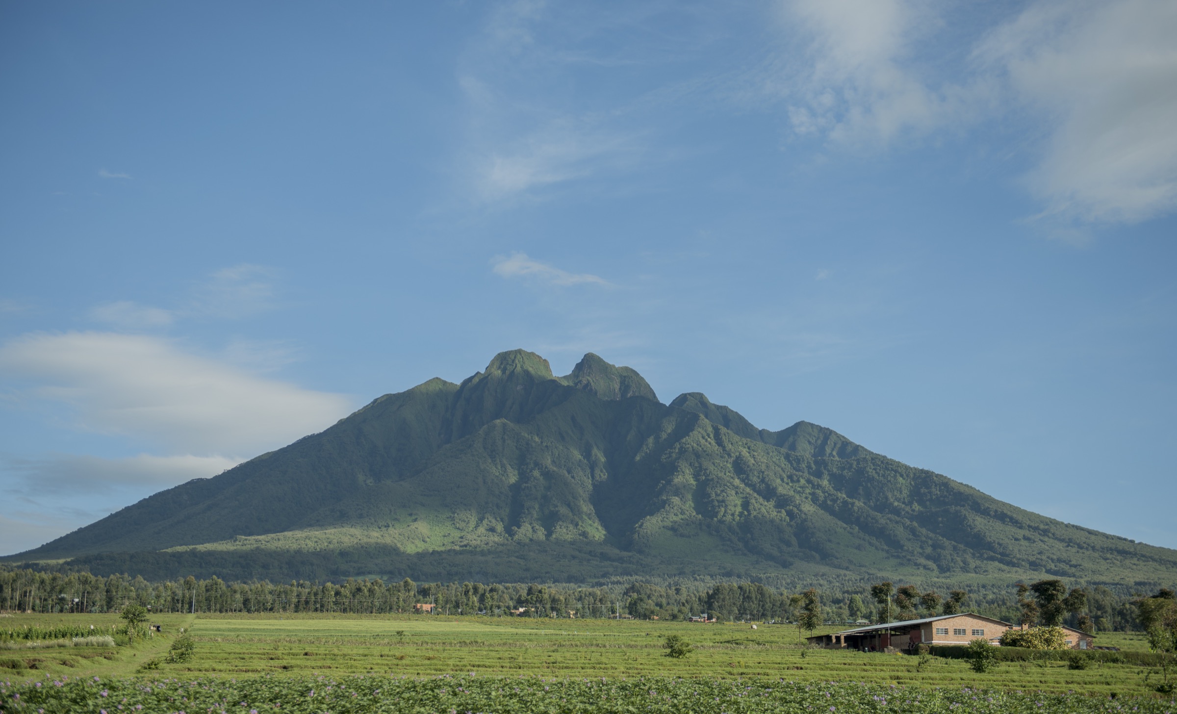
1. Mount Kabuye

Snapshot
Itinerary
The route climbs from cultivated highland countryside toward the summit of Mount Kabuye, passing fields, settlements and patches of woodland. The summit gives broad views over Rwanda’s folded central-northern hills.
Why it is essential
Mount Kabuye is one of Rwanda’s best-known non-volcanic hiking summits and gives the region a true hill-country peak walk outside the Virunga volcanoes.
Equipment
Mountain hiking equipment: boots, rain layer, warm layer, water, food, poles and navigation backup.
Hazards and notes
No official GPX or Rwanda tourism route sheet was found. Treat local access, guide expectations and trailhead details as follow-up items.
GPX / KML links
| Source | URL | Format / access | Reuse status |
|---|---|---|---|
| AllTrails — Mount Kabuye | alltrails.com | Web route map | AllTrails terms; no public reusable GPX found |
External links
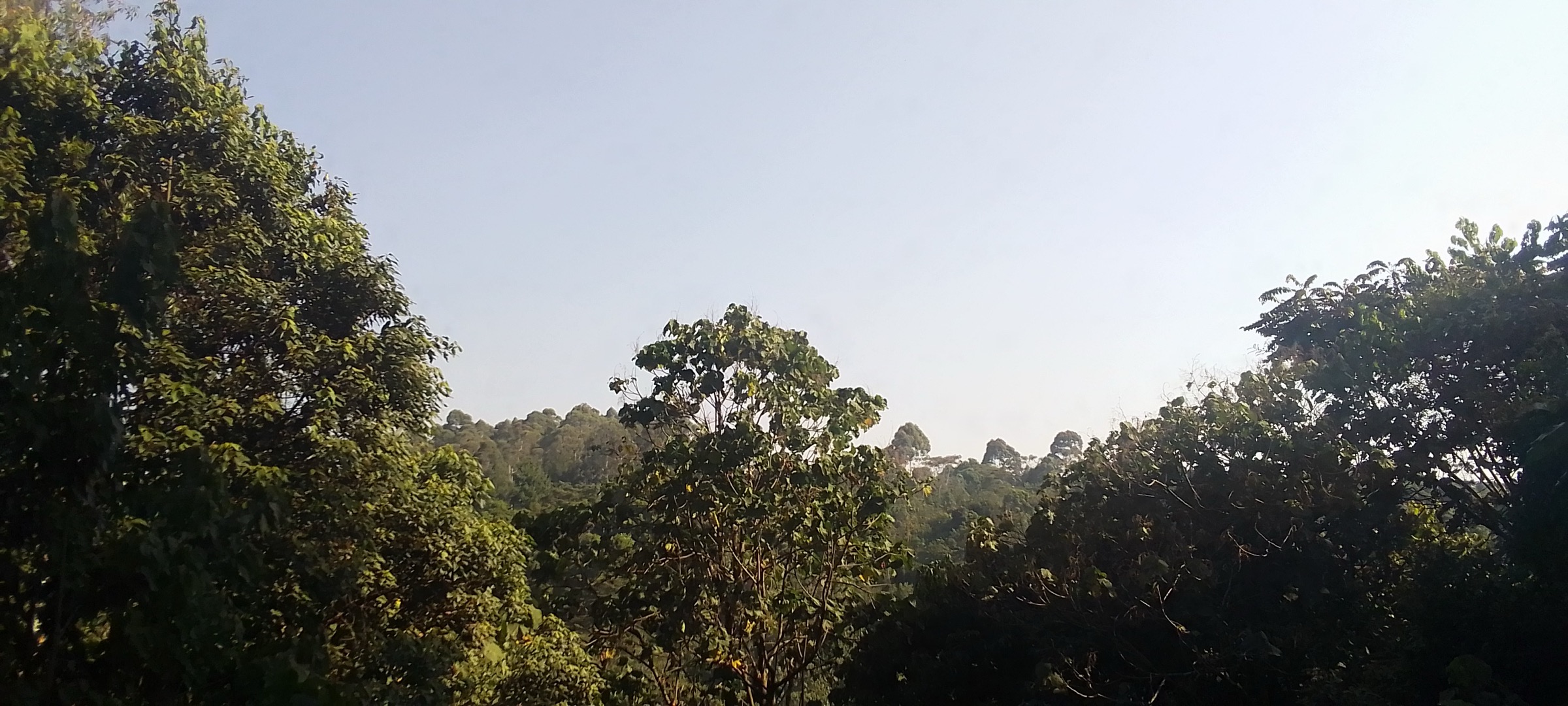
2. Bigugu Trail, Nyungwe National Park

Snapshot
Itinerary
The trail starts at Nyabishwati and climbs to Bigugu, the highest peak in Nyungwe National Park. Visit Rwanda lists the Bigugu Trail as 13.2 km and 6 hours, with views toward Lake Kivu and the hills and islands of the DRC on clear days.
Why it is essential
Bigugu is the high-point day hike of Nyungwe, the main protected rainforest of Rwanda’s southern highlands.
Equipment
Mountain hiking equipment: waterproof boots, rain jacket/poncho, long sleeves/trousers, warm layer, insect repellent. Visit Rwanda’s preparation list also recommends gloves, gaiters and sturdy boots for Rwanda hiking.
Hazards and notes
Guide and permit required for Nyungwe hikes. Expect mud, rain, cloud and limited visibility. Elevation gain not verified.
GPX / KML links
| Source | URL | Format / access | Reuse status |
|---|---|---|---|
| Visit Rwanda Hiking Guide | visitrwanda.com | Official map/listing | PDF/map; no GPX; route existence and stats verified, geometry unresolved |
External links
3. Nyanza Big View Trail to Mount Remera

Snapshot
Itinerary
The Big View Trail starts at Heritage Hotel in Nyanza and leads to Mount Remera. The route initially overlaps the Royal Trail, then branches near Lake Nyamagana onto a mountain community path through houses and agricultural land, with wide views from the hill.
Why it is essential
This is the best documented cultural highland walk in the region: short, accessible and tied to Nyanza’s role as the historic capital of the Kingdom of Rwanda.
Equipment
Standard hiking equipment: shoes, water, sun protection and rain layer.
Hazards and notes
Visit Rwanda states no permit is needed and a guide is optional for Nyanza Cultural Trails. Route-file geometry still needs extraction or local confirmation.
GPX / KML links
| Source | URL | Format / access | Reuse status |
|---|---|---|---|
| Visit Rwanda Hiking Guide | visitrwanda.com | Official PDF map/listing | Map data credited to OpenStreetMap contributors CC-BY-SA; recreate only after checking OSM/route relation or local GPX |
External links
4. Mont Heha North Ridge

Snapshot
Itinerary
The documented north-ridge approach starts from a roadside village/pass, climbs through trees to a ridge with a radio tower, then continues south along the ridge toward the forested summit. A Country Highpoints trip report describes leaving the car near a sign for Mt Heha, continuing along the ridge, then making a short bushwhack to the true summit before returning by a more direct ridge line.
Why it is essential
Mont Heha is Burundi’s highest mountain and the natural summit objective of the Burundi Highlands.
Equipment
Standard to mountain hiking equipment: sturdy shoes, rain layer, water, navigation backup. Local guide recommended.
Hazards and notes
Trailhead, access permissions, security situation and exact route geometry need local confirmation. Peakbagger gives coordinates and elevation but no official hiking route.
GPX / KML links
| Source | URL | Format / access | Reuse status |
|---|---|---|---|
| Peakbagger — Mont Heha | peakbagger.com | Peak coordinates / map links | Peakbagger copyright; summit verification only |
| Country Highpoints — Burundi: Mt Heha | countryhighpoints.com | Narrative route report | CC BY-NC-SA 4.0; not suitable for commercial route reuse |
External links
5. Kibira Teza / Bugarama Forest Circuit

Snapshot
Itinerary
A publishable route could be built around Kibira’s southern/central visitor circuit near Teza or Bugarama, crossing afromontane forest, bamboo and ridge terrain on the Congo-Nile Divide. UNESCO confirms Kibira adjoins Nyungwe and has regulated tourism with an established circuit, but no route name, distance or GPX was verified in this pass.
Why it is essential
Kibira is the Burundi continuation of the Nyungwe highland rainforest and is the most important protected montane forest in the Burundi part of the region.
Equipment
Mountain hiking equipment, plus insect protection and long sleeves/trousers.
Hazards and notes
This entry is not publication-ready. It needs official park contact, current access rules, a named route, guide requirements, route statistics and a route file.
GPX / KML links
| Source | URL | Format / access | Reuse status |
|---|---|---|---|
| UNESCO — Kibira tentative-list page | whc.unesco.org | Protected-area description only | UNESCO page terms; no GPX; route not verified |
| OpenStreetMap — Kibira National Park search | openstreetmap.org | Map source | ODbL; area reference only, route relation not found |
External links
External links
| Source | URL |
|---|---|
| Visit Rwanda — Hiking Guide (PDF) | visitrwanda.com |
| AllTrails — Mount Kabuye | alltrails.com |
| Peakbagger — Mont Heha | peakbagger.com |
| Country Highpoints — Burundi: Mt Heha | countryhighpoints.com |
| UNESCO — Kibira tentative-list page | whc.unesco.org |
| OpenStreetMap — Kibira National Park | openstreetmap.org |