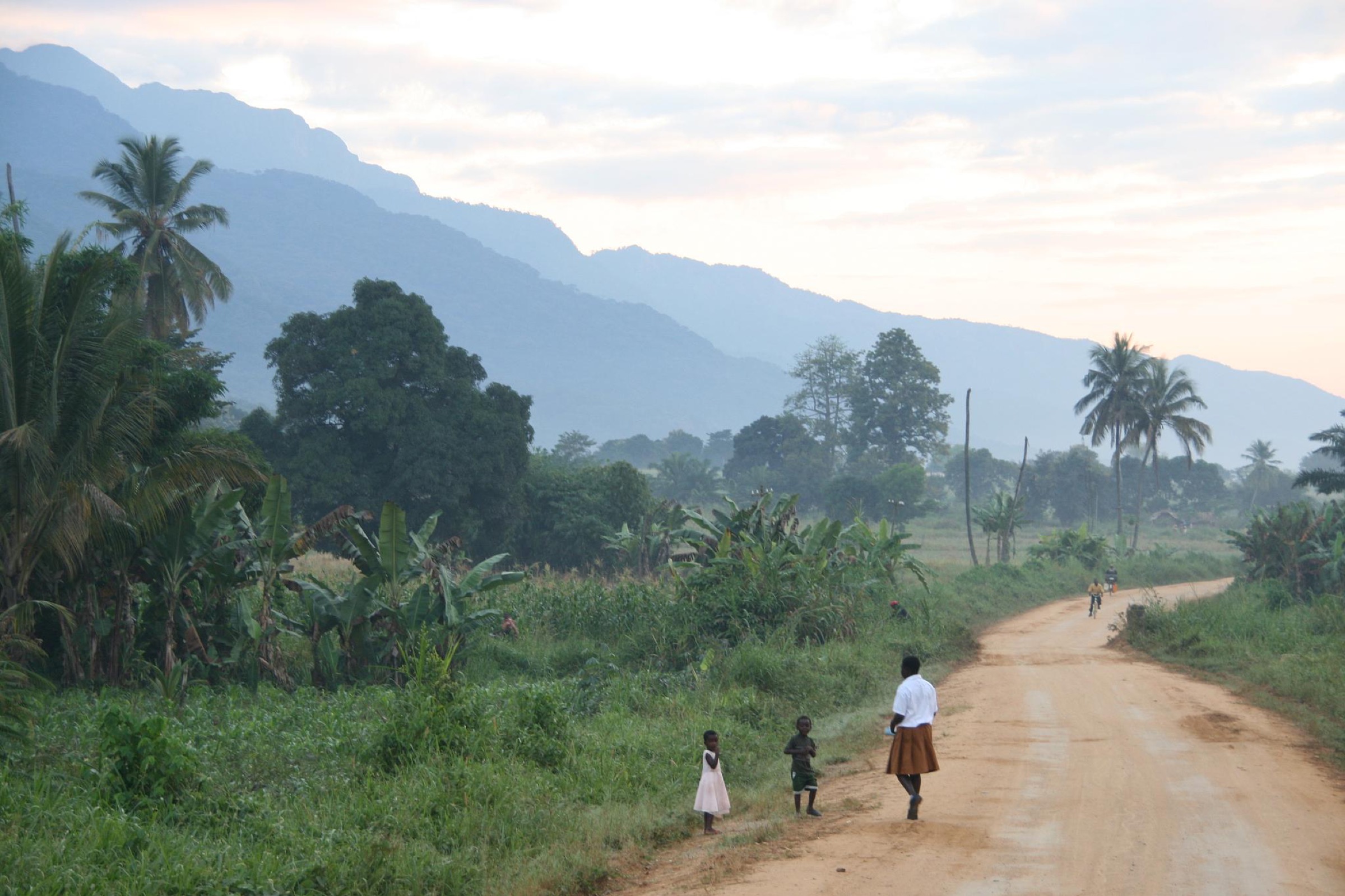
Regional overview
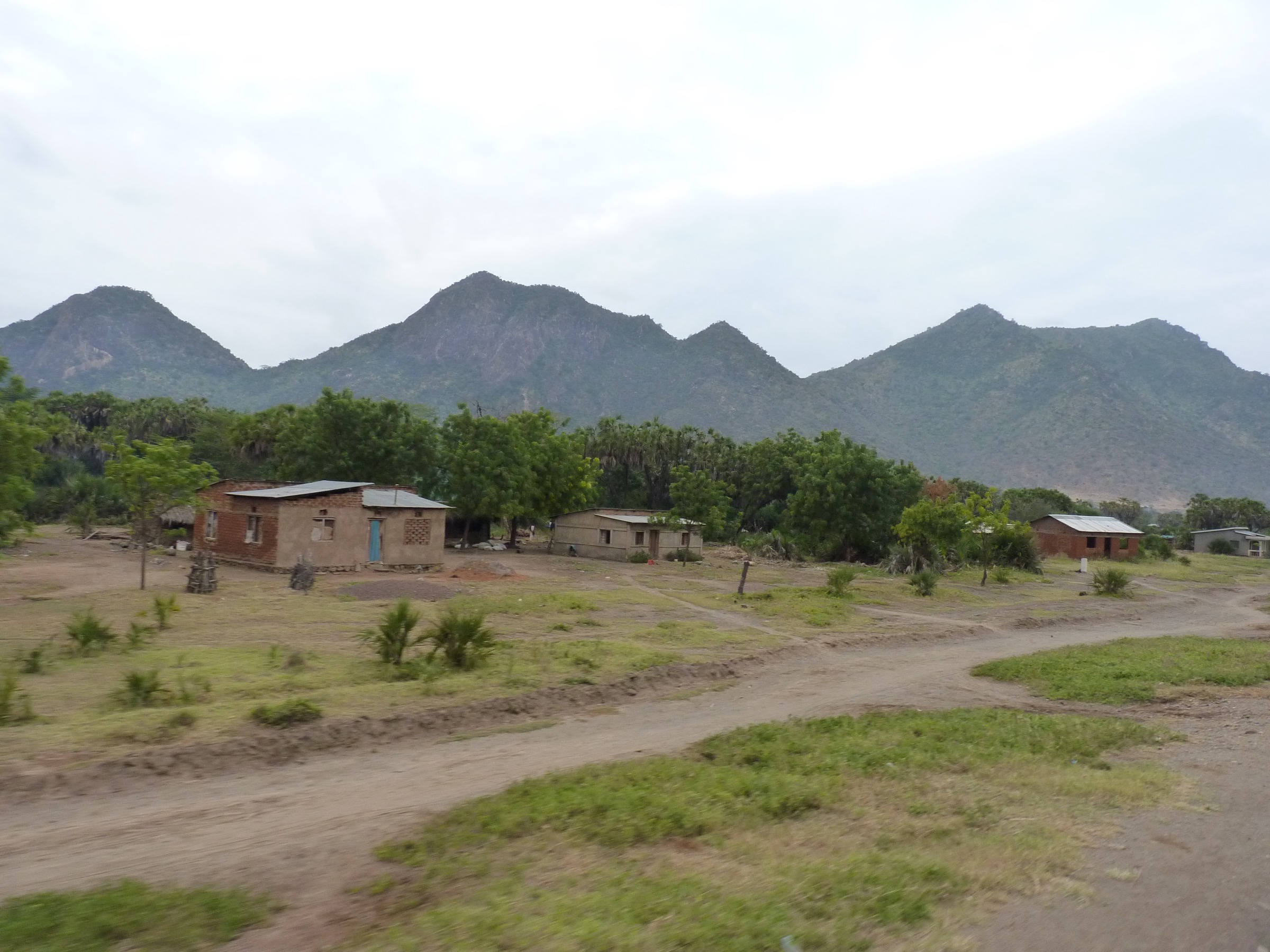
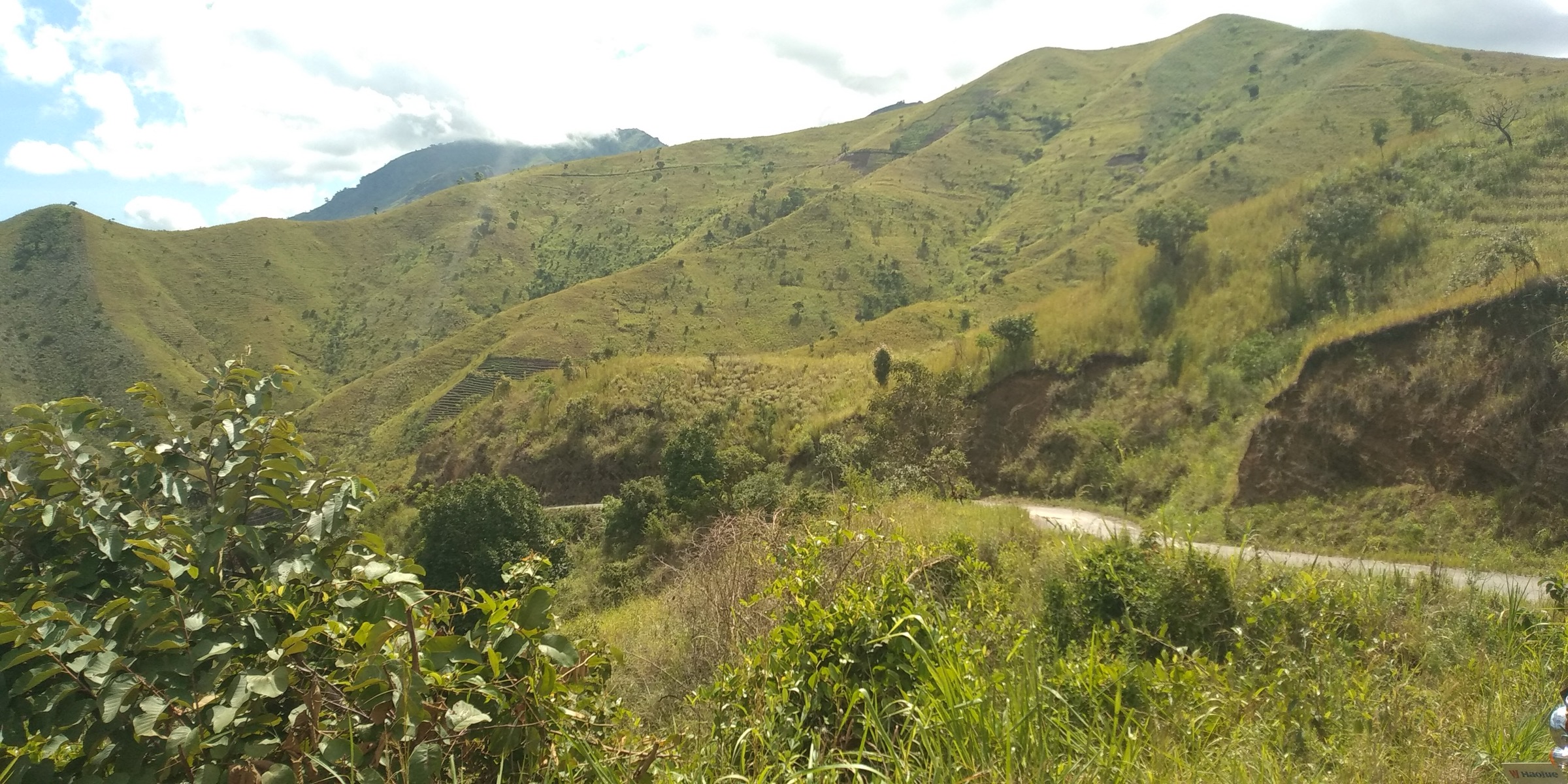
The Ukaguru Mountains are one of the thirteen recognised crystalline blocks of Tanzania’s Eastern Arc, rising as an elongate, fault-bounded ridge in Kilosa and Gairo districts of Morogoro Region. The range reaches roughly 2,264 m and is largely cloaked in catchment forest reserves managed by the Tanzania Forest Services Agency (TFS), with the Mamiwa-Kisara North (8,203 ha) and Mamiwa-Kisara South (6,266 ha) reserves forming the principal forest block. Five smaller reserves — Ikwamba, Mamboto, Mamboya, and Uponera — complete the protected ridge, alongside an adjacent softwood plantation. The crest is a mosaic of moist upper-montane forest, summit heath, dry submontane forest on lower slopes, and Acacia-Commiphora wooded grassland on rain-shadowed northern and western flanks.
There is no national park, no marked trail network, no formal visitor centre, and no published guidebook for the Ukaguru. Practical access is via Mandege Forest Station, which sits in Mandege Ward (Gairo District) above the Mvumi-Gairo highway corridor and serves as the de facto headquarters for the Mamiwa block. Standard routing is from Morogoro or Dodoma along the B129 / A7 to Gairo, then south via Mvumi or directly via Mandege ward roads. Walking uses the network of forest-service tracks, ridge-top footpaths between the Mamwira and Mnyera ridges, and inter-village paths used by communities at Nongwe, Mkobwe, Masenge, Mtega, Ng’one, and Mandege.
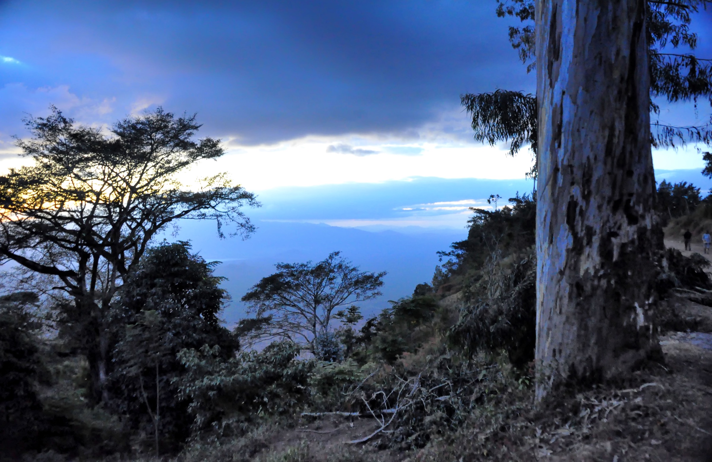
The climate is bimodal: a long wet season from November to May with mist on the ridge above about 1,800 m, and a dry season from June to October when tracks are firm enough for vehicles to reach Mandege. Hazards are typical of a remote Eastern Arc block — dense forest with limited sightlines, very weak digital mapping, leeches, biting flies, the possibility of encountering elephant sign or unguarded small-scale mining in the southern fringe, and considerable logistical exposure if a party is unsupported. The Mamiwa-Kisara forest is part of the BirdLife-recognised Ukaguru Mountains IBA and harbours Mrs Moreau’s warbler, the Iringa akalat, Moreau’s sunbird, the critically endangered toad Nectophrynoides paulae, and the chameleon Churamiti maridadi.
This article is a non-operational research catalogue for the Ukaguru Mountains. No published, verifiable GPX track was located, and most route statistics are estimated from TFS reserve cartography, the 2014 TFCG forest condition survey transect coordinates, and SRTM-derived elevations rather than from a curated hiking source. The candidates below should be confirmed at the Mandege Forest Station or the responsible TFS office before any practical visit.
Selection rationale
The five day-hikes below are the only routes that emerge consistently from the TFCG forest condition survey, the EAMCEF site dossier, the BirdLife Ukaguru IBA factsheet, and birding correspondents. They cover the principal access spine into the heart of the reserve; the upper-montane and summit-heath plateau that holds the strict endemics; the named subsidiary summit (Mt Munyera) which is the most commonly cited peak target; the village-fringe forest edge used as a community walk from Nongwe / Mkobwe; and the southern access via Mvumi / Makwambe which is the only documented entry into Mamiwa-Kisara South.
Summary table
| # | Hike | Country | Route type | Distance | Gain | Max elevation | Difficulty |
|---|---|---|---|---|---|---|---|
| 1 | Mandege Forest Station to Lufukiri valley | Tanzania | Out-and-back; details unresolved | About 12-16 km | About 400-500 m | About 1,900 m | Candidate only |
| 2 | Mnyera ridge crest traverse | Tanzania | Point-to-point ridge; details unresolved | About 10-14 km | About 600-800 m | About 2,200 m | Candidate only |
| 3 | Mt Munyera (1,804 m) from Mandege | Tanzania | Out-and-back; details unresolved | About 8-10 km | About 350-450 m | 1,804 m | Candidate only |
| 4 | Nongwe / Mkobwe forest-edge loop | Tanzania | Loop; details unresolved | About 7-9 km | About 250-400 m | About 1,800 m | Candidate only |
| 5 | Makwambe to Mamiwa-Kisara South (Mvumi access) | Tanzania | Out-and-back; details unresolved | About 10-14 km | About 400-600 m | About 1,900 m | Candidate only |
1. Mandege Forest Station to Lufukiri valley
Snapshot
Itinerary
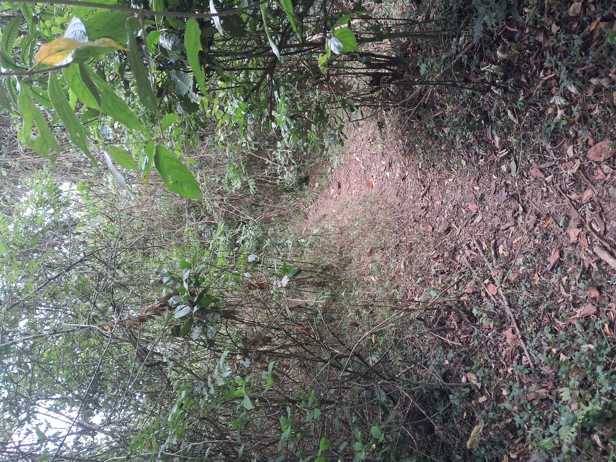
A publication-ready itinerary was not verified. From Mandege Forest Station the forest-service track is reported to descend south-east into the valley that separates the Mamwira ridge (west) from the Mnyera ridge (east), heading toward the Lufukiri drainage. The track is the principal management road and, according to the TFCG forest-condition survey, the main legal route into the heart of Mamiwa-Kisara North. The walk drops through dry submontane forest dominated by Albizia gummifera, Allanblackia stuhlmannii, and Bersama abyssinica, with occasional cleared sections where small-scale agriculture and pole-cutting have created openings. A reasonable turnaround for a day party is the point at which the track narrows to a footpath in the Lufukiri valley. No reliable distance, ascent, or open GPX was found.
Why it is essential
This is the only documented, signposted entry into the Ukaguru’s largest forest reserve. Every institutional source uses Mandege as the base. Walking the Mandege-Lufukiri track is the de facto introduction to the Ukaguru block and the only way to experience the moist-forest interior in a single day from a vehicle.
Equipment
- Sturdy boots; gaiters.
- Weatherproof layer (afternoon storms even in the dry season).
- Warm layer for early starts at the station.
- Water for the full day; map and offline GPS (OSM coverage is sparse).
- Tick and leech protection; long trousers.
- Permit / entry fee paid at the forest station; local guide strongly advised.
Hazards and notes
- Remote forest with no rescue infrastructure; mobile coverage is unreliable.
- Track surface degrades quickly in rain.
- Avoid the southern reserve fringe where small-scale mining and pit-sawing are documented disturbances.
GPX / KML links
| Source | URL | Format / access | Reuse status |
|---|---|---|---|
| OpenStreetMap search: Mandege Forest Station | openstreetmap.org | Source map / search | OSM data is ODbL; geometry cross-check only |
External links
2. Mnyera ridge crest traverse
Snapshot
Itinerary
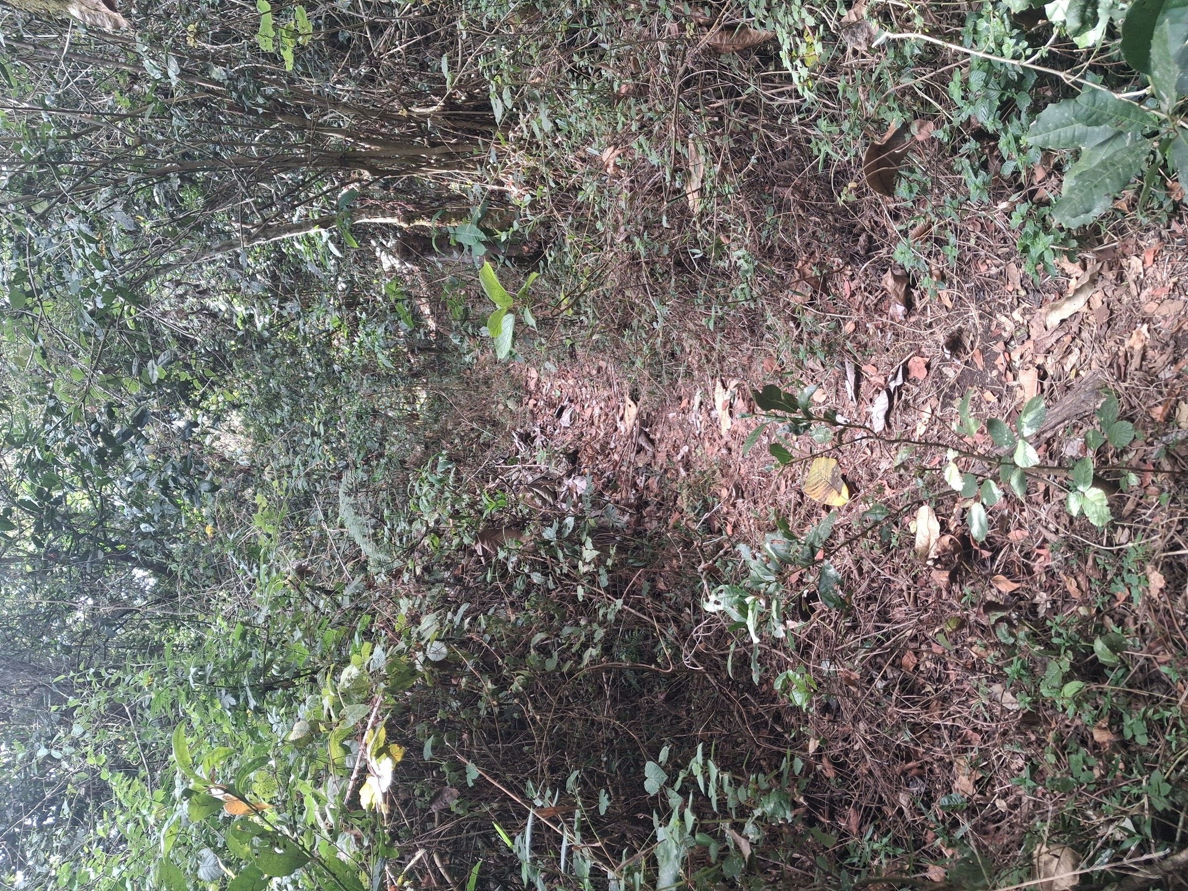
A publication-ready itinerary was not verified. From Mandege the route is reported to follow the Mandege-Lufukiri track briefly then turn east onto one of the forest-edge footpaths used by villagers and the 2014 TFCG botanical transects, climbing through dry submontane forest into upper-montane forest characterised by Polyscias stuhlmannii, Schefflera lukwangulensis, Garcinia volkensii, and Ocotea usambarensis. Above about 2,000 m the canopy thins into the summit-heath belt — the habitat that holds the giant Lobelia sancta, a strict Mamiwa-Kisara endemic, and the rare Impatiens ukaguruensis. The crest is the location of the range high point at about 2,264 m. There is no waymarked path; the route is a guided ridge walk on game and pole-cutter paths.
Why it is essential
This is the only realistic way for a fit day-hiker to reach the summit-heath habitat that defines the Ukaguru block’s biological importance. The strict-endemic plants and several of the IBA’s qualifying bird species are most reliably encountered here.
Equipment
- Mountain hiking equipment: sturdy boots, trekking poles, extra warm layer, hat and gloves.
- Hard waterproofs — mist and rain on the crest even in dry months.
- Compass and offline GPS with SRTM contours; OSM coverage is minimal above 1,800 m.
- Local guide effectively required; permit at Mandege Forest Station.
- Headtorch in case the route runs long.
Hazards and notes
- Navigation is the principal hazard: dense forest, persistent mist, no marked trail, weak GPS lock under canopy.
- Pit-sawing and small-scale mining reported in parts of the reserve.
- Cold and damp at altitude; self-rescue only.
GPX / KML links
| Source | URL | Format / access | Reuse status |
|---|---|---|---|
| OpenStreetMap search: Mnyera Ukaguru | openstreetmap.org | Source map / search | OSM data is ODbL; geometry cross-check only |
External links
3. Mt Munyera (1,804 m) from Mandege
Snapshot
Itinerary
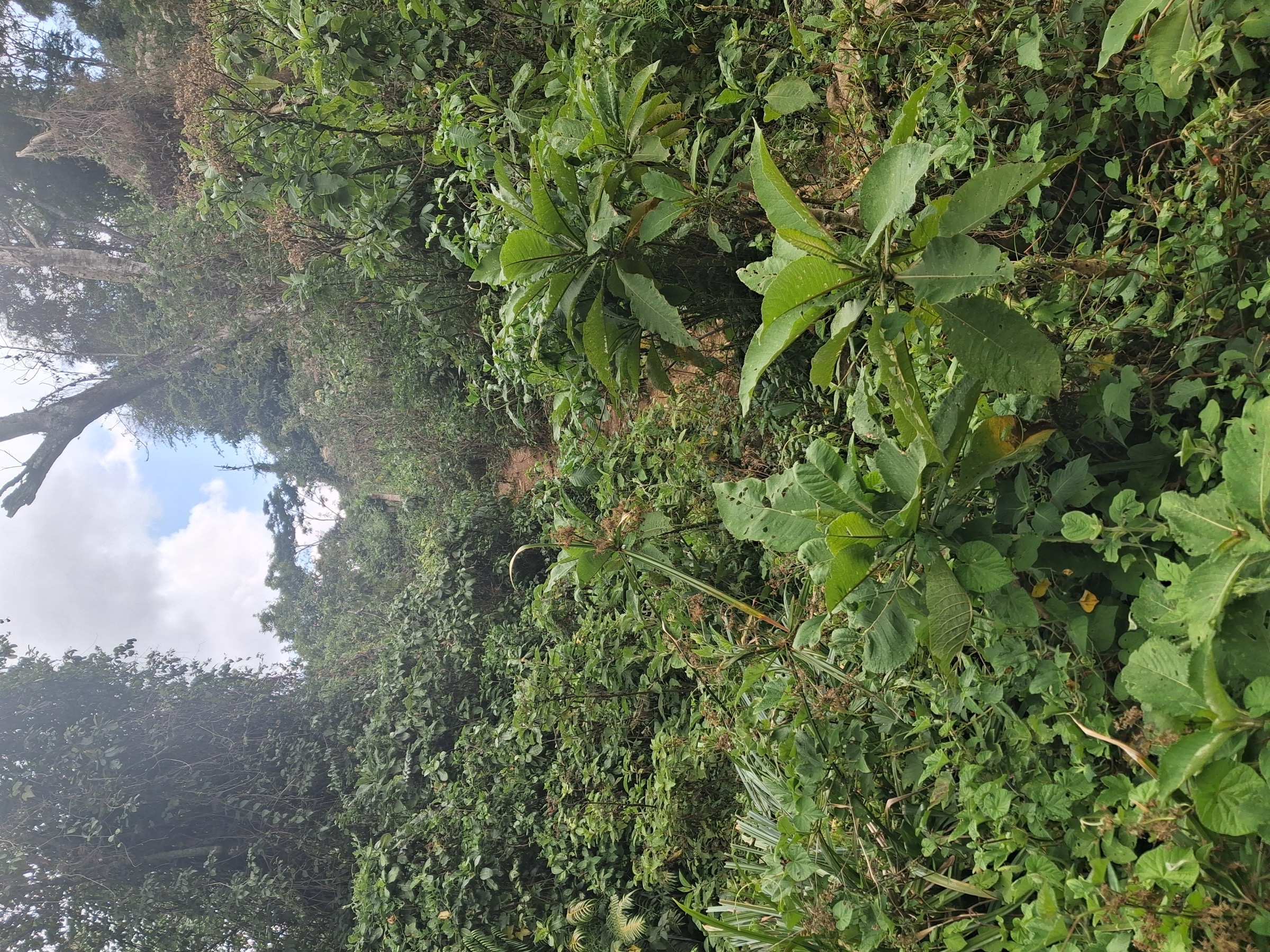
A publication-ready itinerary was not verified. Mt Munyera is the most prominent named subsidiary summit on the eastern (Mnyera) ridge accessible from Mandege. From the forest station the route is reported to follow the same valley path as Hike 1 for the first kilometre, then ascend east through montane forest onto the Mnyera ridge, following cattle and woodcutter paths to the rounded summit. The summit itself is wooded with only intermittent views toward the Mkata Plain and the Nguru / Rubeho horizons.
Why it is essential
This is the only named peak on the eastern Ukaguru crest with verifiable elevation data and the most natural day-summit target from the recognised Mandege access. It is a shorter, lower-commitment alternative to the full crest expedition.
Equipment
- Mountain hiking equipment; waterproofs and warm layer.
- Offline GPS and map; local guide recommended.
- Permit at Mandege.
Hazards and notes
- Hazards as Hikes 1 and 2 but shorter and lower.
- Summit area has no infrastructure or shelter.
- Forest canopy means GPS reception is intermittent.
GPX / KML links
| Source | URL | Format / access | Reuse status |
|---|---|---|---|
| PeakVisor: Munyera | peakvisor.com | Peak summary | Peakvisor terms; no open GPX |
| OpenStreetMap search: Munyera Ukaguru | openstreetmap.org | Source map / search | OSM data is ODbL; geometry cross-check only |
External links
4. Nongwe / Mkobwe forest-edge loop
Snapshot
Itinerary
A publication-ready itinerary was not verified. Nongwe and the adjoining sub-village of Mkobwe sit on the south-eastern edge of Mamiwa-Kisara North in the area mapped by TFCG as their “good forest” reference site (Site 1). The loop is reported to use the footpath network that the 2014 transects ran along — the same paths used daily by villagers for firewood and water — to climb gently from village fields into intact moist forest at 1,770-1,800 m, contour along the forest edge, and return on a parallel path further south. TFCG recorded the highest plant diversity in the reserve at this site, with 220 species.
Why it is essential
This is the most accessible, lowest-risk introduction to Eastern Arc montane forest in the range, and the only one of the five routes that does not depend on Mandege Forest Station.
Equipment
- Standard hiking equipment; sun protection (open village approach).
- Tick and leech protection.
- Local village guide effectively essential; community permission required.
Hazards and notes
- Community land transitions into a Central Government Forest Reserve; clarify permit status before entering reserve land.
- Avoid Mtega-East and Mtega-West, which TFCG describes as the most disturbed survey sites.
GPX / KML links
| Source | URL | Format / access | Reuse status |
|---|---|---|---|
| OpenStreetMap search: Nongwe Ukaguru | openstreetmap.org | Source map / search | OSM data is ODbL; geometry cross-check only |
External links
5. Makwambe to Mamiwa-Kisara South forest edge (Mvumi access)
Snapshot
Itinerary
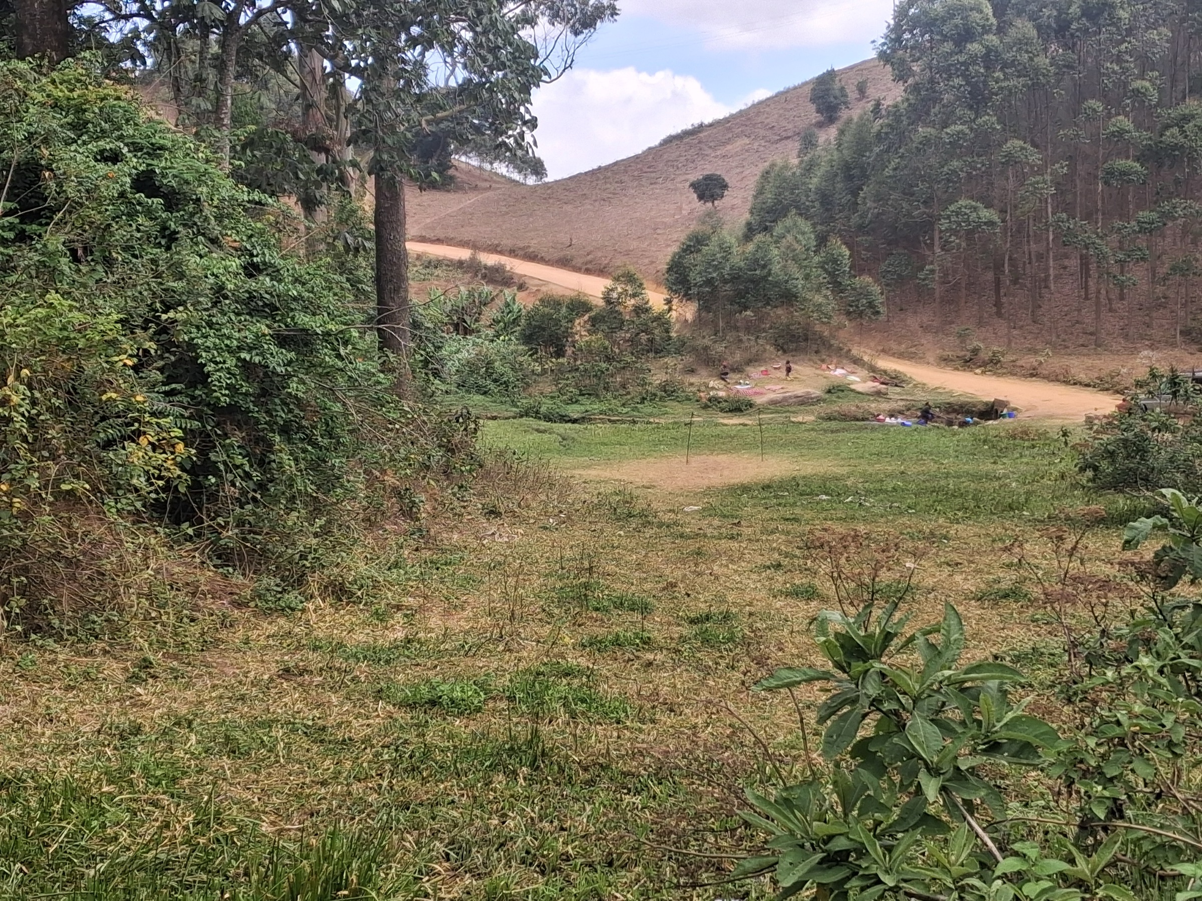
A publication-ready itinerary was not verified. TFCG state that access to the southern part of the Mamiwa-Kisara block is from the Mvumi-Mandege road at Makwambe. This is the only documented entry point to Mamiwa-Kisara South Forest Reserve, which Lovett & Pocs (1993) and the 2014 TFCG report both describe as biologically unexplored. A day walk from Makwambe is reported to ascend the southern flank of the ridge through dry submontane forest into a section of moist forest that no published guidebook describes in any detail. The route is conceptual rather than known: parties would follow the access road on foot until it becomes a path, then enter the reserve on whichever village footpath is in use at the time of visit.
Why it is essential
This is the only documented day-route into Mamiwa-Kisara South — the larger of the two southern blocks and the least surveyed forest in the Ukaguru range. It rounds out a five-hike set by covering the southern reserve, which is otherwise invisible from the Mandege-centred hikes.
Equipment
- Mountain hiking equipment; full self-sufficiency in water, food, navigation, and first aid.
- Local guide essential; engagement with TFS and village leadership recommended.
Hazards and notes
- Highest commitment of the five routes.
- Almost no published information; no recent hike report.
- The reserve is recorded as a site of small-scale mining and encroachment pressure.
- Do not attempt without a guide.
GPX / KML links
| Source | URL | Format / access | Reuse status |
|---|---|---|---|
| OpenStreetMap search: Mvumi Mandege | openstreetmap.org | Source map / search | OSM data is ODbL; geometry cross-check only |
| Protected Planet — Mamiwa-Kisara South | protectedplanet.net | Reserve record | Reference only |
External links
Missing data / follow-up work
- All five hikes are Candidate only; no published GPX, KML, or curated trail-database entry was located. Wikiloc, Komoot, AllTrails, and OSM route relations returned no Ukaguru-specific hiking tracks in this pass.
- The range high point at about 2,264 m is unnamed in EAMCEF, TFCG, and Wikipedia. PeakVisor lists “Mamwera” at 2,222 m as the local parent peak of Mt Munyera (1,804 m); the relationship between Mamwera and the 2,264 m crest point is unresolved.
- Permit fees quoted for the Ukaguru block by birding correspondents need confirmation at TFS or Mandege Forest Station.
- Distance, gain, and time estimates for every hike are inferred from TFS reserve cartography, TFCG transect endpoint coordinates, and SRTM contours; they are not from a published route.
- Mt Munyera elevation and coordinates rely on a single non-authoritative source (PeakVisor) and should be confirmed against a Tanzanian topographic sheet.
- The BirdLife IBA factsheet returned a TLS error during research; the qualifying-species table and threat scoring should be reconfirmed.
- No licence-compatible image is currently published for Mamiwa-Kisara South, so the Hike 5 entry has no figure.
External links
| Source | URL |
|---|---|
| EAMCEF — Ukaguru Mountains | easternarc.or.tz |
| TFCG — Mamiwa-Kisara North FR forest condition survey (2014) | tfcg.org |
| BirdLife — Ukaguru Mountains IBA | datazone.birdlife.org |
| Wikipedia — Ukaguru Mountains | en.wikipedia.org |
| Orniverse — Ukaguru Mountains forest | orniverse.com |
| PeakVisor — Munyera | peakvisor.com |
| Protected Planet — Mamiwa-Kisara South | protectedplanet.net |
| Wikimedia Commons — Mamiwa-Kisara media search | commons.wikimedia.org |
| OpenStreetMap | openstreetmap.org |