Regional overview
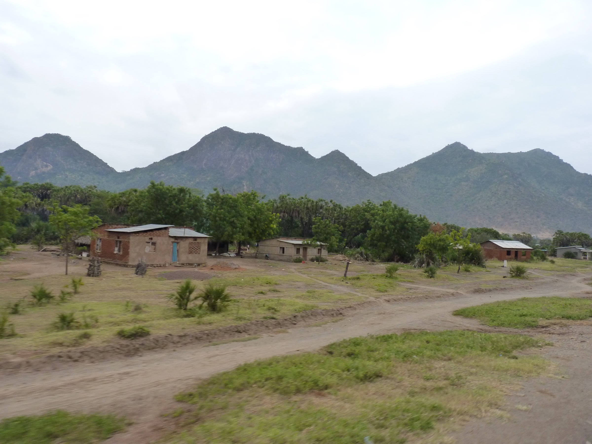
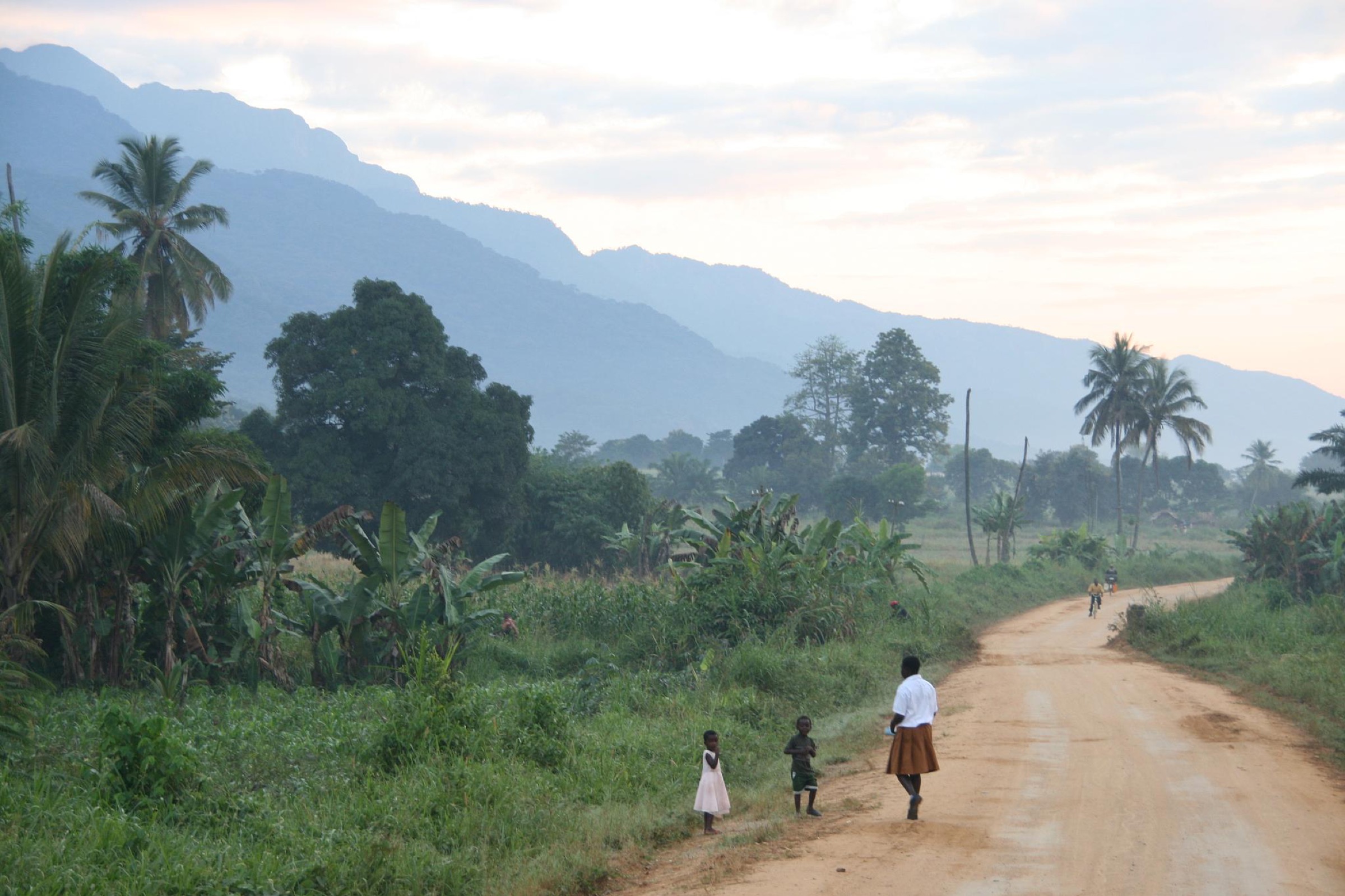
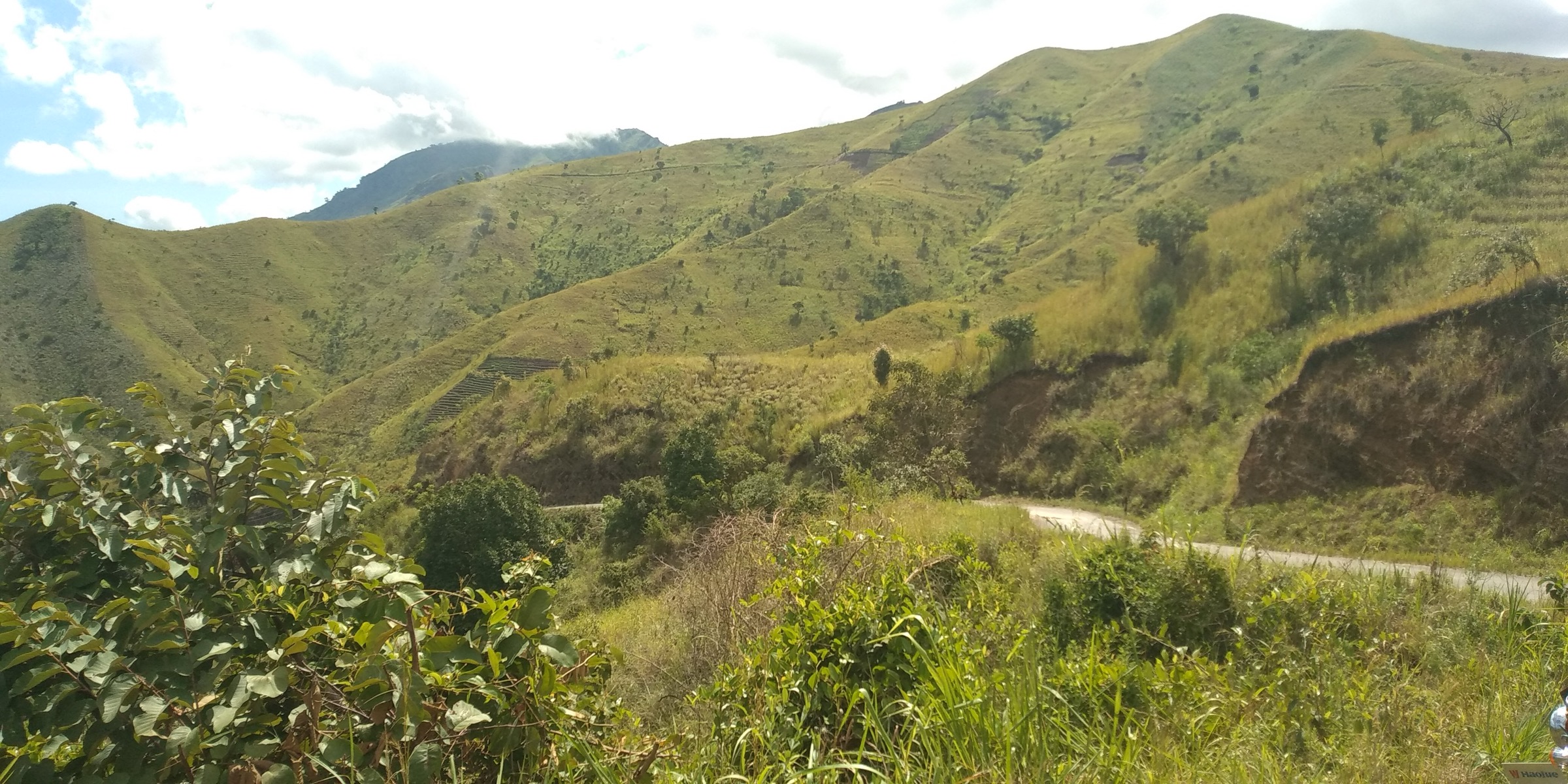
The Nguru Mountains are a crystalline block within the Eastern Arc chain, lying in Mvomero District, Morogoro Region of central Tanzania. The range covers roughly 1,673 km² and rises from the Mkata Plain at about 320 m to a high point of around 2,400 m in the Nguru South massif. The Mjonga stream, a tributary of the Wami river, splits the range, and the South Nguru landscape is the principal water catchment for the Wami system. Range coordinates centre on roughly 6°00′S 37°30′E.
The main protected core is the Mkingu Nature Forest Reserve, gazetted in 2016 from the former Nguru South and Mkindo Forest Reserves, together with the separate Kanga Forest Reserve to the east and the small Magotwe reserve. Mkingu is the fourth-largest protected area in the Eastern Arc and the largest surviving forest in the South Nguru Mountains. Vegetation is zoned by altitude, with lowland rain forest from 300-900 m, submontane forest 900-1,400 m, montane forest 1,400-1,800 m, and upper montane forest above 1,800 m. Drier montane forest occurs on the western flank above Maskati mission at 1,600-2,000 m.
The Nguru block is one of the most herpetologically distinctive sites in Africa. It is the type locality of the Nguru pygmy chameleon Rhampholeon acuminatus in Komkore Forest above Ubiri village, and harbours endemic Nectophrynoides tree toads and Hyperolius reed frogs. BirdLife International lists the range as an Important Bird Area, with Moreau’s sunbird and the banded green sunbird among the qualifying targets.
Hiking infrastructure is minimal. The Tanzania Forest Services (TFS) Nature Reserve Office in Mkindo village is the main contact for permits and guides; guided walks are mandatory. Two named multi-village trails are publicised by the TFS ecotourism portal but published only by name and walking time. The conventional approach base is Turiani town on the B127, roughly 120 km north of Morogoro.
This article is a non-operational research catalogue for the Nguru Mountains. Public route geometry, per-trail distance, ascent, and licence-compatible photography were not located for any of the five candidates in this pass. They are presented as a planning shortlist to be confirmed on the ground via the TFS Mkindo office and rebuilt with verified stats, trailheads, and GPX/KML files before publication as a practical hiking guide.
Selection rationale
The five candidates span the Nguru geography rather than repeat one forest path. Maskati-Kombora-Ubiri is the closest published analogue to a high traverse across the western montane crest and includes the Makunguru viewpoint and Dibohero Waterfall. Mhonda-Mafuta-Ubiri is the southern mission-village approach and includes the Lusingiso Waterfall. The Mkindo forest loop is the standard low-commitment introductory walk from the TFS reserve office. The Kanga Forest Reserve approach captures the isolated eastern outlier. The Maskati ridge viewpoint walk gives a short western escarpment day option without committing to the full traverse.
Summary table
| # | Hike | Country | Route type | Distance | Gain | Max elevation | Difficulty |
|---|---|---|---|---|---|---|---|
| 1 | Maskati - Kombora - Ubiri traverse | Tanzania | Point-to-point; details unresolved | Unresolved (about 6 hours on foot) | Unresolved | About 2,000 m | Candidate only |
| 2 | Mhonda - Kwelikwiji - Mafuta - Ubiri - Mkindo | Tanzania | Point-to-point; details unresolved | Unresolved (about 7 hours on foot) | Unresolved | About 1,800 m | Candidate only |
| 3 | Mkindo forest loop | Tanzania | Loop; details unresolved | Unresolved | Unresolved | Below 1,000 m | Candidate only |
| 4 | Kanga Forest Reserve approach walk | Tanzania | Out-and-back; details unresolved | Unresolved | Unresolved | Unresolved | Candidate only |
| 5 | Maskati ridge viewpoint walk | Tanzania | Out-and-back; details unresolved | Unresolved | About 600 m | About 2,000 m | Candidate only |
1. Maskati - Kombora - Ubiri traverse
Snapshot
Itinerary
A publication-ready itinerary was not verified. The TFS ecotourism portal lists the Maskati-Kombora-Ubiri line as a named traverse with a walking time of about six hours. The route is reported to climb from Maskati mission on the western escarpment through drier montane forest, traverse the Mkingu crest, and descend past the Makunguru Peak viewpoint and Dibohero Waterfall before dropping to Ubiri village on the eastern side of the reserve. A mandatory TFS guide arranged via the Mkindo Nature Reserve Office leads. No distance, ascent, or open GPX was located.
Why it is essential
This is the only published high-traverse line across the western Nguru block, linking the historically significant Maskati mission, the drier western montane forest zone, the Makunguru viewpoint over the South Nguru, and Dibohero Waterfall in a single day.
Equipment
- Long trousers and gaiters against safari ants and stinging nettles; leech socks in wet months.
- Sturdy boots with grip; two to three litres of water; rain shell; head torch.
- Malaria prophylaxis; cash in Tanzanian shillings for guides and village fees.
Hazards and notes
- Trails are unsigned forest tracks; route-finding without a guide is not feasible.
- Heavy rain in March-May and November makes clay surfaces slippery and increases landslide risk on the descent.
- No mobile network coverage should be assumed across the crest.
GPX / KML links
| Source | URL | Format / access | Reuse status |
|---|---|---|---|
| TFS ecotourism — Mkingu Nature Forest Reserves | nature-reserves.go.tz | Trail name listing only | Reference only; no GPX |
| OpenStreetMap search: Maskati Nguru | openstreetmap.org | Source map / search | OSM data is ODbL; geometry cross-check only |
External links
2. Mhonda mission cultural approach — Mhonda - Kwelikwiji - Mafuta - Ubiri - Mkindo
Snapshot
Itinerary
A publication-ready itinerary was not verified. TFS lists the line as a named multi-village traverse with a walking time of about seven hours. The trail is reported to start at Mhonda Catholic mission, founded in 1877 by the Spiritan Fathers and one of the earliest interior Catholic stations on the East African mainland, climb north-east through farmland into submontane forest via Kwelikwiji and Mafuta villages, cross a reserve boundary section above Mafuta, pass the Lusingiso Waterfall, descend to Ubiri village on the eastern slope, and conclude at Mkindo village campsite where the TFS reserve office is based. No distance, ascent, or open GPX was located.
Why it is essential
The route combines the cultural history of Mhonda mission, the cardamom-farming village belt that surrounds the reserve, and Lusingiso Waterfall as the single named hydrological landmark on this corridor.
Equipment
- Forest-walking kit as for Hike 1.
- Camping kit if overnighting at Mkindo; food for the day; water-treatment tablets.
Hazards and notes
- Long day at altitudes the body is not acclimatised to; pacing must be controlled.
- Cardamom plot edges can be confusing without a guide.
- Streams swell quickly in afternoon storms; turn back at unfordable crossings.
GPX / KML links
| Source | URL | Format / access | Reuse status |
|---|---|---|---|
| TFS ecotourism — Mkingu Nature Forest Reserves | nature-reserves.go.tz | Trail name listing only | Reference only; no GPX |
| OpenStreetMap search: Mhonda Nguru | openstreetmap.org | Source map / search | OSM data is ODbL; geometry cross-check only |
External links
3. Mkindo forest loop (Nature Reserve HQ)
Snapshot
Itinerary
A publication-ready itinerary was not verified. The Mkindo loop is described in TFS material as a short guided forest walk from the Nature Reserve Office in Mkindo, the standard guide-hire and permit point. The route accesses lowland and lower submontane forest at the reserve edge, with chances to observe black-and-white colobus, mountain galago, black-and-rufous elephant shrew, and a bird community of 215 species reserve-wide, including Moreau’s sunbird and the banded green sunbird. No distance, ascent, or open GPX was located.
Why it is essential
This is the standard low-commitment introductory walk for visitors who are not equipped for full traverses. It is also the only walk for which a permit office, basic campsite, and ranger contact are co-located.
Equipment
- Light boots; insect repellent (high mosquito and tsetse pressure at this altitude).
- Two litres of water; binoculars for the bird community.
Hazards and notes
- Malaria zone; prophylaxis essential.
- Tsetse fly possible.
- The exact loop should be clarified with the reserve office on arrival.
GPX / KML links
| Source | URL | Format / access | Reuse status |
|---|---|---|---|
| TFS ecotourism — Mkingu Nature Forest Reserves | nature-reserves.go.tz | Reference page | Reference only; no GPX |
| OpenStreetMap search: Mkindo Nguru | openstreetmap.org | Source map / search | OSM data is ODbL; geometry cross-check only |
External links
4. Kanga Forest Reserve approach walk
Snapshot
Itinerary
A publication-ready itinerary was not verified. Access is via Turiani and the dirt-track network east toward the Kanga block. Guided walks from a fringe village enter Kanga’s submontane forest, an isolated outlier of the Nguru system with its own endemics. There is no published trail name and no TFS ecotourism listing equivalent to Mkingu; arrangements must be made via the Mkingu Conservator’s office at Mkindo, which oversees access. No distance, ascent, or open GPX was located.
Why it is essential
Kanga is the geographically isolated eastern unit of the Nguru forest network. Walking it captures a distinct biogeographic component absent from Mkingu and gives a contrasting forest structure on a separate massif.
Equipment
- Full forest-walking kit; insect protection.
- Cash for guide and reserve entry fees.
- Self-sufficiency in food and water; basic supplies in Turiani or Madizini.
Hazards and notes
- Track conditions deteriorate sharply in the wet.
- Landslide risk on the access road in March-April.
- No emergency cover; allow buffer time and inform a contact of the plan.
GPX / KML links
| Source | URL | Format / access | Reuse status |
|---|---|---|---|
| OpenStreetMap search: Kanga Forest Reserve | openstreetmap.org | Source map / search | OSM data is ODbL; geometry cross-check only |
External links
5. Maskati ridge viewpoint walk
Snapshot
Itinerary
A publication-ready itinerary was not verified. The Maskati ridge viewpoint walk is a shorter alternative to the full Maskati-Kombora traverse. From Maskati village, the route is reported to climb west into the drier montane forest band documented at 1,600-2,000 m above Maskati mission, reach a ridge viewpoint over the western Nguru escarpment and the Mkata Plain, then return to Maskati. A TFS guide from Mkindo or a local village guide from Maskati must accompany. No distance or open GPX was located.
Why it is essential
The walk gives an escarpment / viewpoint experience in half a day without committing to the multi-village traverse. It is the only practical option for visitors arriving from Morogoro who cannot allocate a full day in the reserve.
Equipment
- Daypack standard; warmer layer for the ridge in early morning.
- Two litres of water.
Hazards and notes
- Drier forest type, fewer leeches than eastern trails.
- Exposure on the open ridge in afternoon storms.
- Inform the Maskati village leader before departure.
GPX / KML links
| Source | URL | Format / access | Reuse status |
|---|---|---|---|
| OpenStreetMap search: Maskati Nguru | openstreetmap.org | Source map / search | OSM data is ODbL; geometry cross-check only |
External links
Missing data / follow-up work
- No public source provides verified per-trail distance, elevation gain, or maximum elevation for any of the five hikes; TFS publishes only walking-time estimates and all five are accordingly marked Candidate only.
- A reported peak called “Pofu” at about 2,400 m could not be verified; the summit area in Nguru South is documented at 2,400 m but no peak name is attached in TFS, EAMCEF, TFCG, BirdLife, or Wikipedia sources.
- No GPX/KML/GeoJSON file was located for any Nguru trail on OpenStreetMap traces, Wikiloc, Komoot, or Strava searches.
- No hike-specific licence-compatible photograph was found on Wikimedia Commons or Flickr Creative Commons. The only Commons images keyed to “Nguru Mountains” are a Morogoro panorama (GFDL 1.2, mountains in background) and an 1898 Hellgrewe engraving (public domain, below the cover-resolution floor).
- Permit fees, guide rates, and current campsite arrangements at Mkindo should be confirmed with the TFS Mkindo office before publication.
External links
| Source | URL |
|---|---|
| TFS — Mkingu Nature Forest Reserves | nature-reserves.go.tz |
| EAMCEF — Nguru | easternarc.or.tz |
| Wikipedia — Nguru Mountains | en.wikipedia.org |
| Wikipedia — Kanga Forest Reserve | en.wikipedia.org |
| TFCG — South Nguru programme | tfcg.org |
| TFCG Technical Paper 11 — South Nguru biodiversity report (2007) | easternarc.or.tz |
| BirdLife — Nguru Mountains IBA | datazone.birdlife.org |
| Wikipedia — Rhampholeon acuminatus | en.wikipedia.org |
| Wikimedia Commons — Category:Nguru Mountains | commons.wikimedia.org |
| OpenStreetMap | openstreetmap.org |
| Wikiloc search | wikiloc.com |