Regional overview
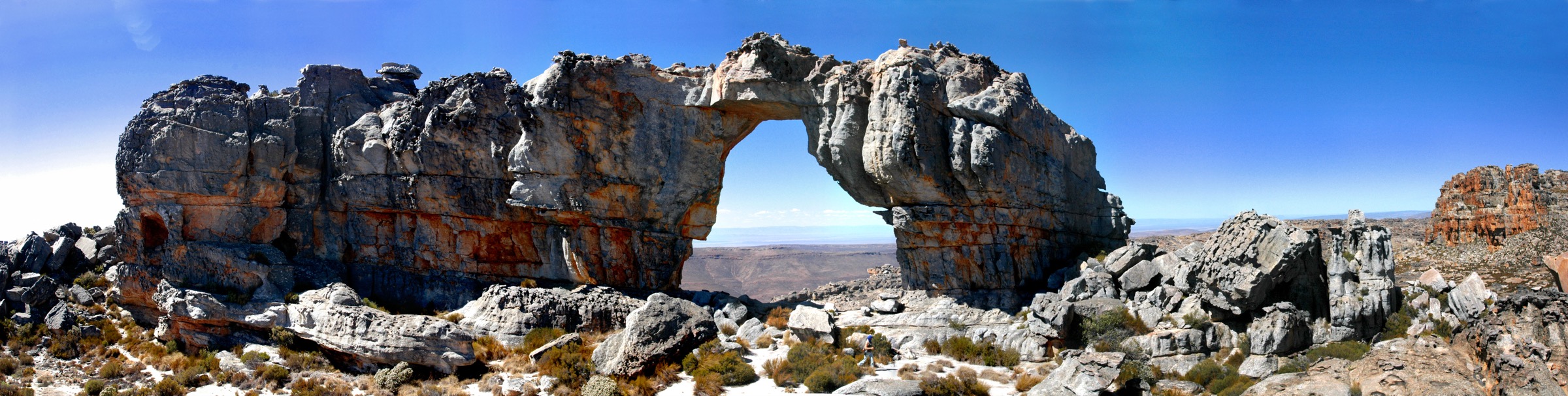
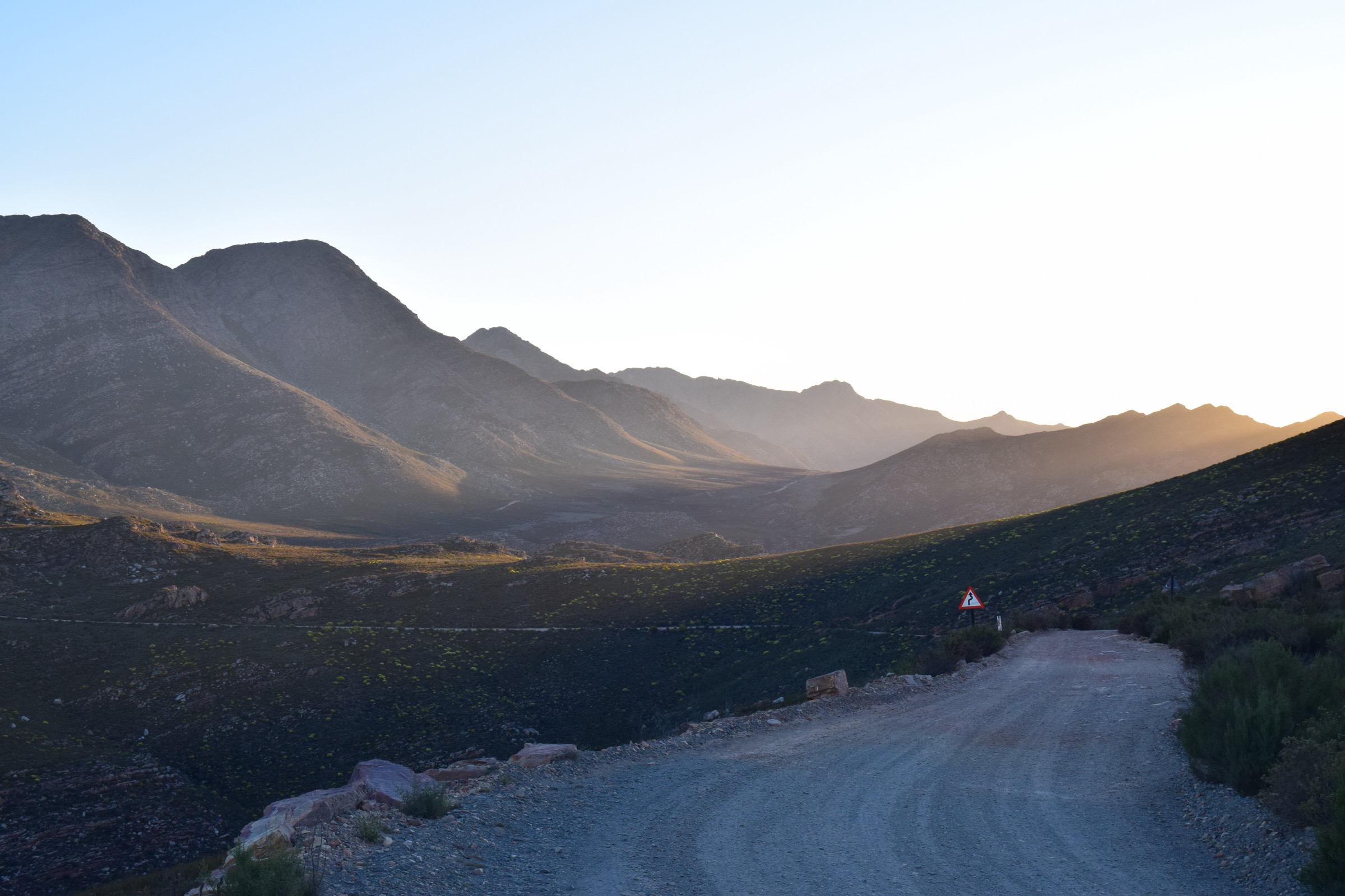
The Swartberg is a long, high, dry Cape Fold Belt wall between the Great Karoo and Klein Karoo. CapeNature’s Swartberg Nature Reserve brochure describes a 121,000 ha reserve, with the broader managed complex including Gamkapoort and Towerkop, and highlights Swartberg Pass, Meiringspoort, Gamkaskloof / Die Hel, rock formations, mountain fynbos, Karoo vegetation, San history, and extreme winter/summer weather.
Public day-hike information is thinner here than in Cederberg or Marloth. CapeNature explicitly names Ou Tol, Platberg, and De Hoek as reserve walking/hiking trails, and provides statistics for Gamkaskloof’s Grootkloof and Koningsgat walks. The result is a conservative article: route identities are official, but several statistics remain unresolved.
Selection rationale
The selection represents the Swartberg Pass high-country trails, the reserve’s named day-trail network, and the cultural-historical Gamkaskloof valley. Longer Donkey Trail and three-day Swartberg routes are excluded as multi-day experiences.
- Platberg Trail — the Swartberg Pass high-country day-trail option.
- Ou Tol Trail — a Swartberg trail-network day or day-section walk from the Ou Tol area.
- De Hoek Trail — another reserve day trail in the Swartberg dry folded mountain terrain.
- Grootkloof Interpretation Trail — the Gamkaskloof cultural-landscape half-day walk.
- Koningsgat Trail — a short Gamkaskloof interpretive walk, retained as a cultural exception.
Summary table
| # | Hike | Route type | Distance | Gain | Max elevation | Difficulty |
|---|---|---|---|---|---|---|
| 1 | Platberg Trail | Day trail; exact loop/out-and-back status unresolved | Swartberg Pass reaches 1,585 m nearby | Moderate–hard | ||
| 2 | Ou Tol Trail | Day trail or day section of Swartberg trail network | Moderate–hard | |||
| 3 | De Hoek Trail | Day trail; exact line unresolved | Moderate–hard | |||
| 4 | Grootkloof Interpretation Trail | Loop or interpretive out-and-back | 6.3 km | Moderate | ||
| 5 | Koningsgat Trail | Short out-and-back or interpretive walk | 1.4 km | likely minor | Easy to moderate |
Before you go
Required equipment
The Swartberg combines high pass-country walking, exposed Cape Fold Belt terrain and remote Gamkaskloof valley logistics. The same baseline equipment applies across all five walks:
- Sturdy hiking shoes or boots with grip for sandstone, loose quartzite, forest roots, and wet rock.
- Sun hat, sunglasses, sunscreen, and enough water for exposed Cape Fold Belt conditions.
- Warm layer, windproof/rain shell, headlamp, first-aid kit, food, and offline map/GPS backup.
- Valid reserve, private-land, or national-park permit where required.
Current access and safety notes
- Weather changes quickly; wind, mist, winter cold, and summer heat can all become serious.
- Fire closures, flood damage, reserve gate times, and permit rules should be checked before publication or field use.
- Cell coverage can be absent in kloofs, wilderness areas, and higher mountain basins.
- Snakes, baboons, loose rock, river crossings, and slippery wet rock are plausible route hazards.
- CapeNature names April–May and September–October as the best hiking periods.
- Extreme winter cold/snow and summer heat above 40 °C are documented by CapeNature for the Swartberg.
- Gamkaskloof access is via the Otto du Plessis road from Swartberg Pass only; CapeNature notes no caravans and no shops/fuel along the way.
1. Platberg Trail
Snapshot
Itinerary
Platberg is retained as the high Swartberg Pass day-trail option because CapeNature explicitly lists it among Swartberg’s walking and hiking trails. The exact trailhead, route type, and statistics were not visible in the captured official sources.
For a publication-ready guide, this route needs the CapeNature/Forge map line checked against OSM and field notes. It should not be presented as a ready-to-follow route until that geometry is verified.
Why it is essential
Platberg represents the Swartberg Pass high-country walking experience: folded quartzite scenery, big Karoo/Klein Karoo views, and exposed mountain-fynbos terrain.
Hazards and notes
- Extreme winter cold/snow and summer heat above 40 °C are documented by CapeNature for the Swartberg.
- Do not rely on unresolved route statistics for field planning.
GPX / KML links
| Source | URL | Format / access | Reuse status |
|---|---|---|---|
| CapeNature hiking overview | capenature.co.za | Official route-name source; no GPX | Factual verification only under CapeNature website terms |
| CapeNature Swartberg map and brochure | capenature.co.za | Official source map/brochure | Source-map use only; no route file under CapeNature terms |
External links
2. Ou Tol Trail
Snapshot
Itinerary
Ou Tol appears in CapeNature’s Swartberg hiking information and in the brochure’s description of the longer demanding route with overnight huts at Ou Tol and Bothashoek. For day-hike catalogue purposes it is best treated as a day trail or day section pending map verification.
The final guide entry should identify the exact day-walk line from Ou Tol, distinguish it from the three-day trail, and provide route statistics from a legally usable GPX or official map.
Why it is essential
Ou Tol is part of the named Swartberg walking infrastructure and gives the entry a historically resonant pass-area objective rather than only Gamkaskloof valley walks.
Hazards and notes
- Confusion with overnight trail sections is possible; route identity must be checked.
- Exposed dry terrain means water carry is essential.
GPX / KML links
| Source | URL | Format / access | Reuse status |
|---|---|---|---|
| CapeNature Swartberg map and brochure | capenature.co.za | Official brochure/source map | Source-map use only; no route file under CapeNature terms |
| OpenStreetMap search: Ou Tol Swartberg | openstreetmap.org | Map/source geometry cross-check | OSM data ODbL; attribution required for OSM-derived data |
External links
3. De Hoek Trail
Snapshot
Itinerary
De Hoek is one of the Swartberg day trails named by CapeNature. The route likely samples the reserve’s dry folded mountain terrain, but this pass did not verify a detailed legal route line or measurements.
Before field publication, obtain the CapeNature/Forge map, confirm start/finish, and derive distance, ascent, descent, and water notes. The entry is intentionally conservative until then.
Why it is essential
De Hoek adds another official reserve day trail and helps avoid reducing the Swartberg catalogue to only the pass road and Gamkaskloof.
Hazards and notes
- Exact route line and hazards are unresolved.
- Check reserve status, fire risk, and weather before starting.
GPX / KML links
| Source | URL | Format / access | Reuse status |
|---|---|---|---|
| CapeNature hiking overview | capenature.co.za | Official route-name source; no GPX | Factual verification only under CapeNature website terms |
| OpenStreetMap search: De Hoek Swartberg | openstreetmap.org | Map/source geometry cross-check | OSM data ODbL; attribution required for OSM-derived data |
External links
4. Grootkloof Interpretation Trail
Snapshot
Itinerary
From Gamkaskloof, follow the Grootkloof interpretation trail through the remote cultural-historical valley landscape. CapeNature gives the route as 6.3 km and about three hours on average.
The walk should be framed as a valley-and-interpretation route rather than a high summit hike: it explains Gamkaskloof’s ecology, isolation, and history within the Swartberg reserve.
Why it is essential
Gamkaskloof is one of the Swartberg’s defining cultural landscapes, and Grootkloof is the official half-day trail long enough to count as the valley’s essential walk.
Hazards and notes
- Remote access road: carry fuel/food/water and allow enough time for the drive in and out.
- Summer heat can be severe in the valley.
GPX / KML links
| Source | URL | Format / access | Reuse status |
|---|---|---|---|
| CapeNature Swartberg map and brochure | capenature.co.za | Official route distance/time; no GPX | Factual verification only under CapeNature terms |
| OpenStreetMap search: Grootkloof Gamkaskloof | openstreetmap.org | Map/source geometry cross-check | OSM data ODbL; attribution required for OSM-derived data |
External links
5. Koningsgat Trail
Snapshot
Itinerary
Koningsgat is the shorter official Gamkaskloof walk named in CapeNature’s Swartberg brochure. It is much shorter than the catalogue’s normal route range but is retained because Gamkaskloof’s cultural landscape is central to the Swartberg story.
Use it as a companion to Grootkloof or as a short interpretive walk for visitors staying in the valley. Final publication should confirm the exact line, interpretation points, and whether it can be combined with other Gamkaskloof historical features.
Why it is essential
The route is short, but it gives the catalogue a second official Gamkaskloof cultural objective and acknowledges that Swartberg’s essential walks are not only high mountain routes.
Hazards and notes
- Short trail but remote setting; the access drive is the major logistical commitment.
- Distance is below normal catalogue range and is intentionally marked as a special cultural exception.
GPX / KML links
| Source | URL | Format / access | Reuse status |
|---|---|---|---|
| CapeNature Swartberg map and brochure | capenature.co.za | Official route distance; no GPX | Factual verification only under CapeNature terms |
External links
External links
| Source | URL |
|---|---|
| CapeNature — Swartberg map and brochure (PDF) | capenature.co.za |
| CapeNature — Hiking overview (Ou Tol, Platberg, De Hoek) | capenature.co.za |
| CapeNature — Swartberg Nature Reserve / Gamkaskloof (Die Hel) | capenature.co.za |