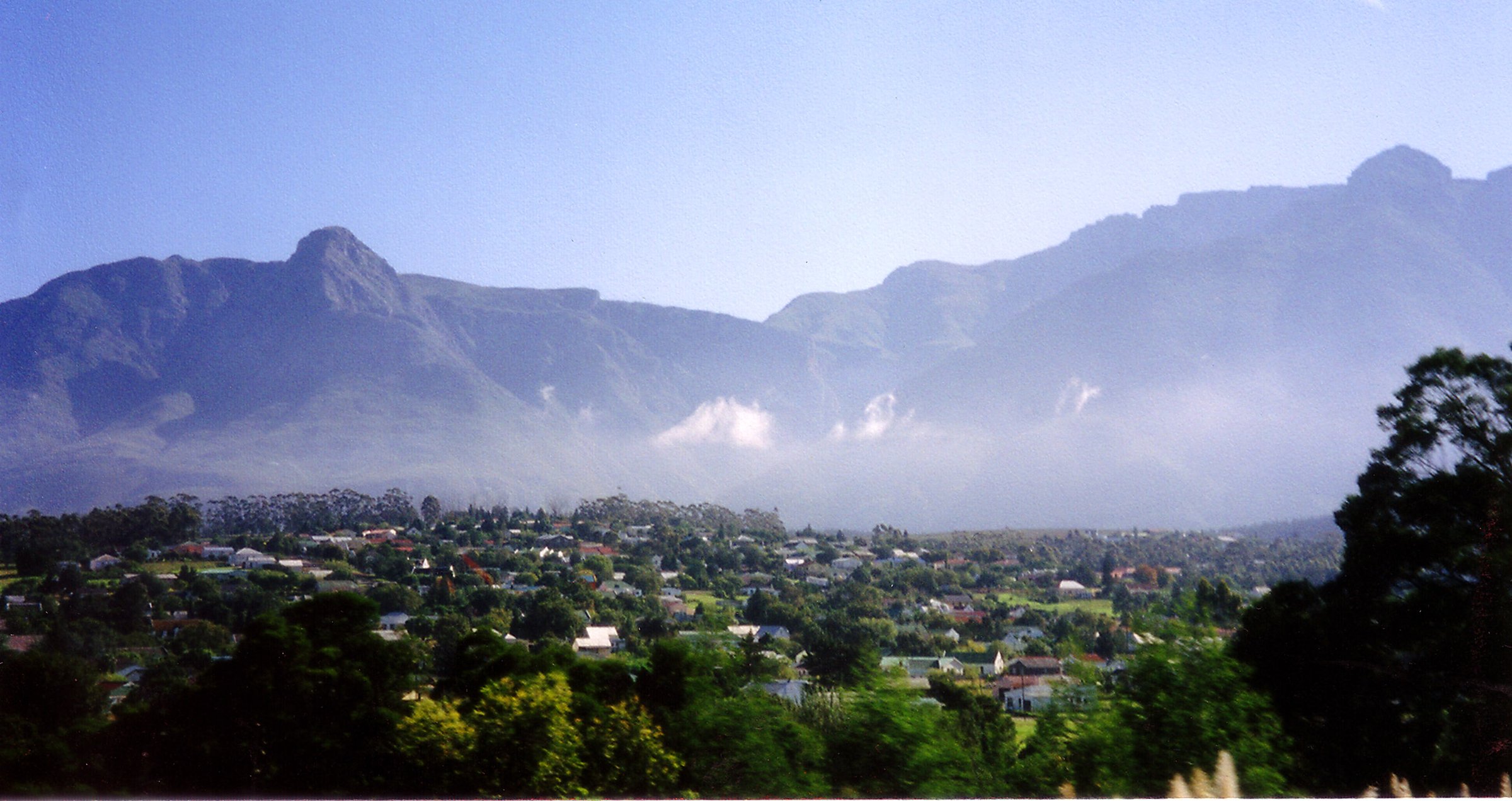
Regional overview
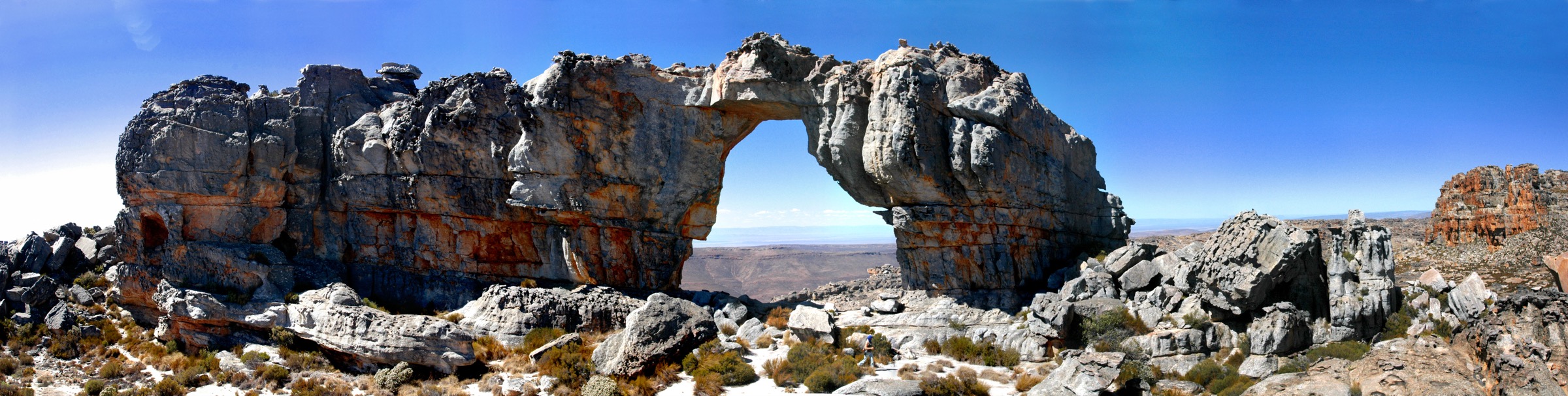
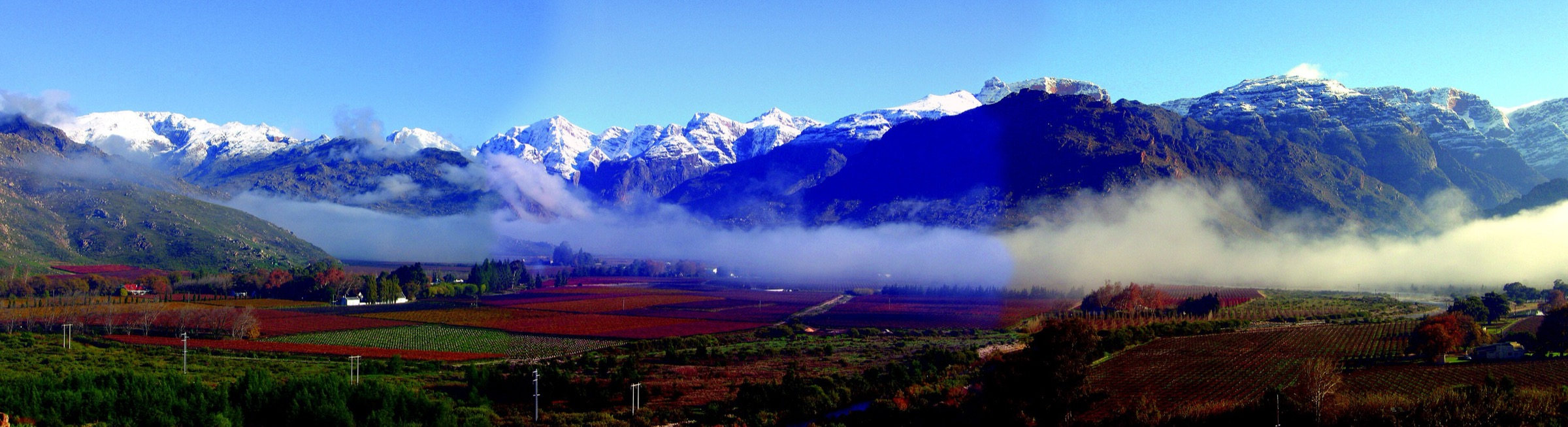
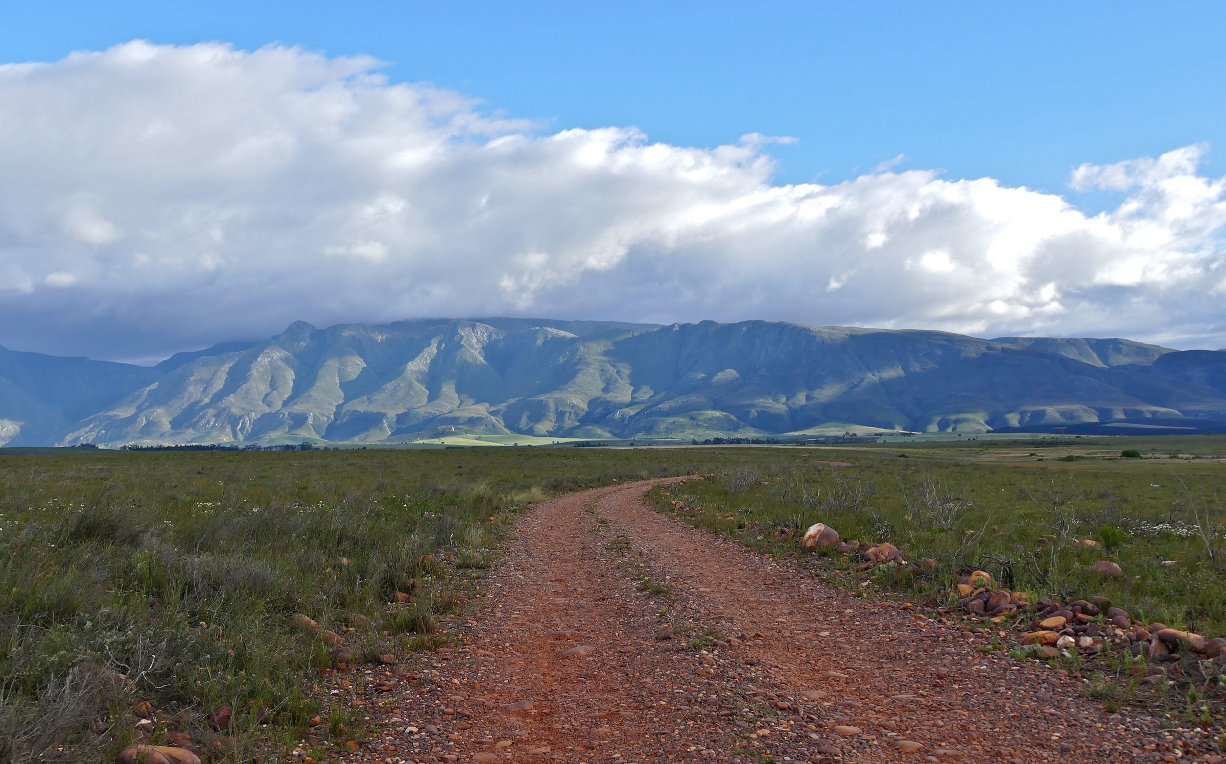
The Langeberg is a long east-west Cape Fold Belt range with a wetter southern face, drier northern valleys, folded sandstone ridges, kloofs, fynbos, and pockets of indigenous forest. Hiking bases include Montagu, Swellendam/Marloth Nature Reserve, Grootvadersbosch and Boosmansbos, and Riversdale/Garcia Pass.
This region is unusually good for source-backed day hikes because local tourism and CapeNature publish named trail distances and times. The selection balances one Montagu summit loop, one Riversdale icon, two Swellendam/Marloth routes, and one Grootvadersbosch forest-ridge loop.
Selection rationale
The five routes represent the Langeberg’s main hiking personalities: the steep Montagu front range, the Sleeping Beauty skyline above Riversdale, Marloth’s high Swellendam peaks, Marloth’s stream-and-plateau day walking, and Grootvadersbosch’s forest-to-ridge transition.
Summary table
| # | Hike | Route type | Distance | Elevation gain | Max elevation | Difficulty |
|---|---|---|---|---|---|---|
| 1 | Bloupunt Hiking Trail | Loop summit hike | 15.6 km official; 15.3 km on Montagu Trails | Over 1,000 m official; 1,056 m on Montagu Trails | 1,266 m | Hard / strenuous |
| 2 | Sleeping Beauty Hiking Trail | Out-and-back summit/crest hike | 9.8 km CapeNature; 12 km Gouritz | Final 1.5 km gains over 300 m | 1,343 m | Hard / challenging |
| 3 | Twaalfuurkop Peak | Out-and-back summit hike | 12.4 km | 1,450 m | Strenuous | |
| 4 | Plaat Loop | Loop | 12.0–12.2 km | Moderate | ||
| 5 | Grysboksirkel | Loop | 15 km | Moderate to hard |
Before you go
Permits and access
Most Langeberg routes require a CapeNature or local reserve permit, with day-trail access generally open from sunrise to sunset. Sanddrif-style bookings do not apply here, but the Marloth, Grootvadersbosch, and Garcia Pass/Sleeping Beauty side all use CapeNature booking and information channels. Some trailheads are reached by gravel roads, and conditions can change after storms or fires.
Standard Langeberg day-hiking kit
For all five routes, carry:
- Sturdy hiking shoes or boots with grip for sandstone, loose quartzite, forest roots, and wet rock.
- Sun hat, sunglasses, sunscreen, and enough water for exposed Cape Fold Belt conditions.
- Warm layer, windproof/rain shell, headlamp, first-aid kit, food, and offline map/GPS backup.
- Valid reserve, private-land, or national-park permit where required.
Common hazards
The Langeberg is exposed and weather-sensitive on its high ground. Across all five routes, expect that weather can change quickly (wind, mist, winter cold, and summer heat can all become serious), that fire closures, flood damage, reserve gate times, and permit rules should be checked before publication or field use, that cell coverage can be absent in kloofs, wilderness areas, and higher mountain basins, and that snakes, baboons, loose rock, river crossings, and slippery wet rock are plausible route hazards.
1. Bloupunt Hiking Trail
Snapshot
Itinerary
From Joubertpark, the Bloupunt loop climbs from the Montagu valley into ravines, stream gullies, crags, and open mountain slopes. The official Montagu description notes more than 1,000 m of rise to the summit and water points partway up, after which water should not be assumed.
The summit of Bloupunt, at 1,266 m, gives wide views over Montagu, Ashton, Bonnievale, McGregor, Robertson, and the surrounding Langeberg/Klein Karoo terrain. The descent returns by a different line with possible waterfall side deviations when water is flowing.
Why it is essential
Bloupunt is the classic strenuous Montagu day hike: a real summit, a full vertical climb from town, ravines, crags, and sweeping Langeberg views.
Hazards and notes
- Long ascent and exposed descent make heat and water planning critical.
- Montagu municipal notices have previously reported temporary closures of Bloupunt/Badskloof; check current status before publication.
GPX / KML links
| Source | URL | Format | Notes |
|---|---|---|---|
| Montagu official hiking trails: Bloupunt | montagu.org.za | Official local route description/map PDF link | Use for factual verification; direct route-file reuse unresolved |
| Wikiloc: Montagu – Bloupunt Trail | wikiloc.com | Source route page / GPX via Wikiloc | Stats/geometry source only; route-file reuse not confirmed |
External links
2. Sleeping Beauty Hiking Trail
Snapshot
Itinerary
From the Garcia Pass parking area, walk past the Old Toll House area to the signed trail start. The route climbs through fynbos on the wetter southern slopes, crosses several mountain streams, and enters indigenous forest locally described as Towerbos.
After the last water, the trail steepens and zigzags toward the saddle and crest behind the Sleeping Beauty profile. The final climb gains more than 300 m over about 1.5 km according to the Gouritz guide. Views open over Riversdale, Korentepoort Dam, and the Langeberg folds before returning by the same route.
Why it is essential
Sleeping Beauty is the iconic Riversdale skyline hike: a named mountain profile, forest and fynbos transitions, historic Garcia Pass access, and a proper crest viewpoint.
Hazards and notes
- Gouritz specifically warns not to ascend in inclement weather.
- Water is available early in ravines but not after the last stream; carry enough for the climb and descent.
GPX / KML links
| Source | URL | Format | Notes |
|---|---|---|---|
| CapeNature Grootvadersbosch page: Sleeping Beauty | capenature.co.za | Official route distance/time; no GPX found | Use for factual verification; no route file |
| Wikiloc: Sleeping Beauty Trail, Riversdale | wikiloc.com | Source route page / GPX via Wikiloc | Candidate route-file source; reuse not confirmed |
| AllTrails: Sleeping Beauty Crest Trail | alltrails.com | Source route map / GPX via AllTrails | Secondary geometry source; reuse not confirmed |
External links
- CapeNature Grootvadersbosch / Sleeping Beauty listing
- Gouritz Sleeping Beauty guide
- AllTrails Sleeping Beauty Crest Trail
3. Twaalfuurkop Peak
Snapshot
Itinerary
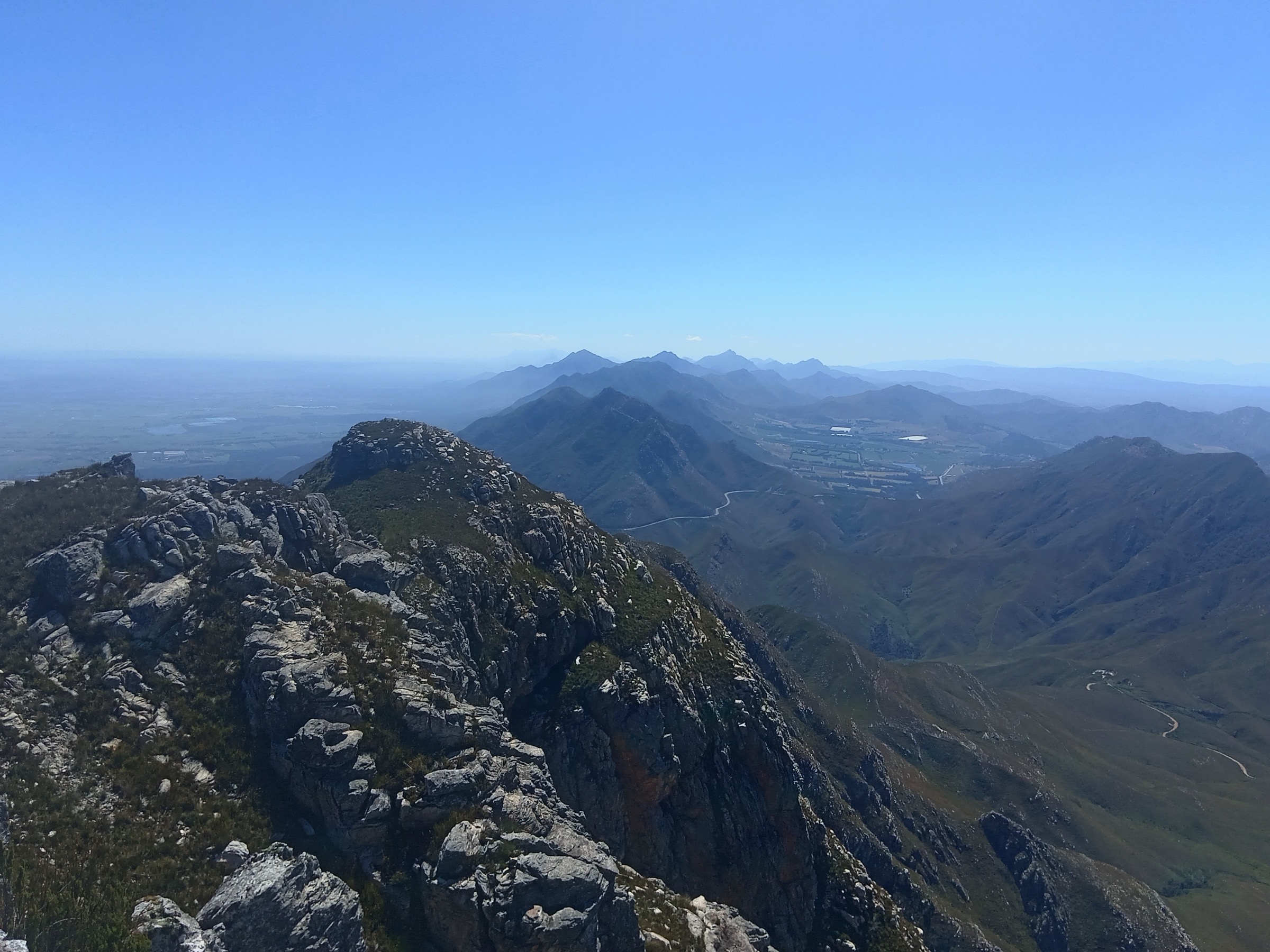
Starting at the Marloth reserve office, the trail climbs through the Swellendam side of the Langeberg toward Twaalfuurkop. CapeNature describes it as a challenging peak route with views across the Langeberg, the Ruensveld, and as far as the Indian Ocean in good conditions.
The route is a full mountain day despite its moderate distance. Expect sustained climbing, fynbos, exposed upper slopes, and a return on the same line to the reserve office.
Why it is essential
Twaalfuurkop is Marloth’s official high-peak day hike and the strongest single summit objective above Swellendam.
Hazards and notes
- CapeNature warns of rapid climatic changes and extreme weather conditions.
- Fit group recommended; CapeNature suggests hiking in a group of at least three.
GPX / KML links
| Source | URL | Format | Notes |
|---|---|---|---|
| CapeNature Marloth Nature Reserve page | capenature.co.za | Official route distance/time/elevation; no GPX found | Use for factual verification; no route file |
| CapeNature Marloth 2025 map PDF | capenature.co.za | Official map / source route PDF | Source-map use only; route-file reuse not applicable |
External links
4. Plaat Loop
Snapshot
Itinerary
The Plaat Loop is Marloth’s moderate full-length day loop. CapeNature describes it as a route with inspiring views and cool mountain streams along the trail.
Use the official day-trail network from the reserve side and follow the mapped loop rather than drifting onto the multi-day Swellendam Trail or private-property edges. The route is useful as the representative moderate Marloth hike: less severe than Twaalfuurkop but still long enough to feel like a real Langeberg day.
Why it is essential
Plaat Loop is the catalogue’s moderate Marloth choice: streams, views, fynbos, and reserve walking without the hard summit commitment of Twaalfuurkop.
Hazards and notes
- Wet stream rocks can be slippery.
- Stay on the day-trail loop; neighbouring multi-day trails and private land complicate navigation.
GPX / KML links
| Source | URL | Format | Notes |
|---|---|---|---|
| CapeNature Marloth Nature Reserve page | capenature.co.za | Official route distance/time; no GPX found | Use for factual verification; no route file |
| CapeNature Marloth 2025 map PDF | capenature.co.za | Official map / source route PDF | Source-map use only; route-file reuse not applicable |
External links
5. Grysboksirkel
Snapshot
Itinerary
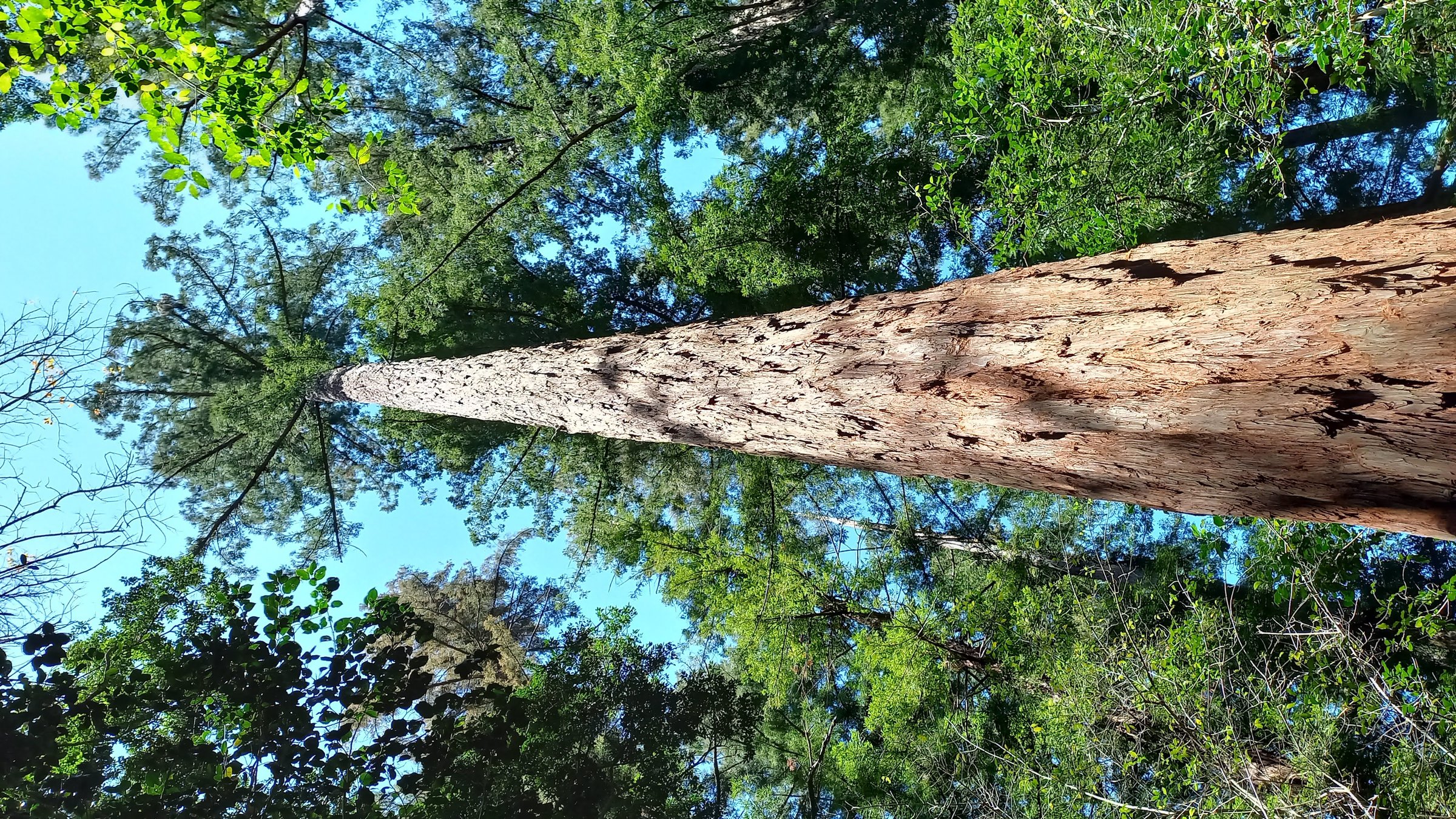
The Grysboksirkel leaves the forest-covered valley of Grootvadersbosch and climbs out through fynbos to the hills bordering Boosmansbos Wilderness Area. CapeNature describes it as the tougher of the Grootvadersbosch day walks.
The loop returns toward the reserve road, linking the largest remaining indigenous forest in the Langeberg with a more open ridge environment. It gives the region a forest-to-mountain transition distinct from the drier Montagu and Riversdale routes.
Why it is essential
Grysboksirkel is the essential Grootvadersbosch day loop: indigenous forest, fynbos, birdlife, and a ridge edge of the Boosmansbos Wilderness in one route.
Hazards and notes
- Forest sections can be damp and slippery.
- The loop is longer and tougher than the Bushbuck trail; carry water and navigation backup.
GPX / KML links
| Source | URL | Format | Notes |
|---|---|---|---|
| CapeNature Grootvadersbosch Nature Reserve page | capenature.co.za | Official route distance/time; no GPX found | Use for factual verification; no route file |
| OpenStreetMap search: Grootvadersbosch Grysboksirkel | openstreetmap.org | Map/source geometry cross-check | OSM-derived data would require ODbL attribution |
External links
External links
| Source | URL |
|---|---|
| Montagu official hiking trails | montagu.org.za |
| Montagu Trails route pages | montagutrails.co.za |
| CapeNature Marloth Nature Reserve | capenature.co.za |
| CapeNature Marloth map PDF | capenature.co.za |
| CapeNature Grootvadersbosch Nature Reserve | capenature.co.za |
| CapeNature Boosmansbos Wilderness Area | capenature.co.za |
| Gouritz Cluster Biosphere Reserve Sleeping Beauty guide | gouritz.com |