Regional overview
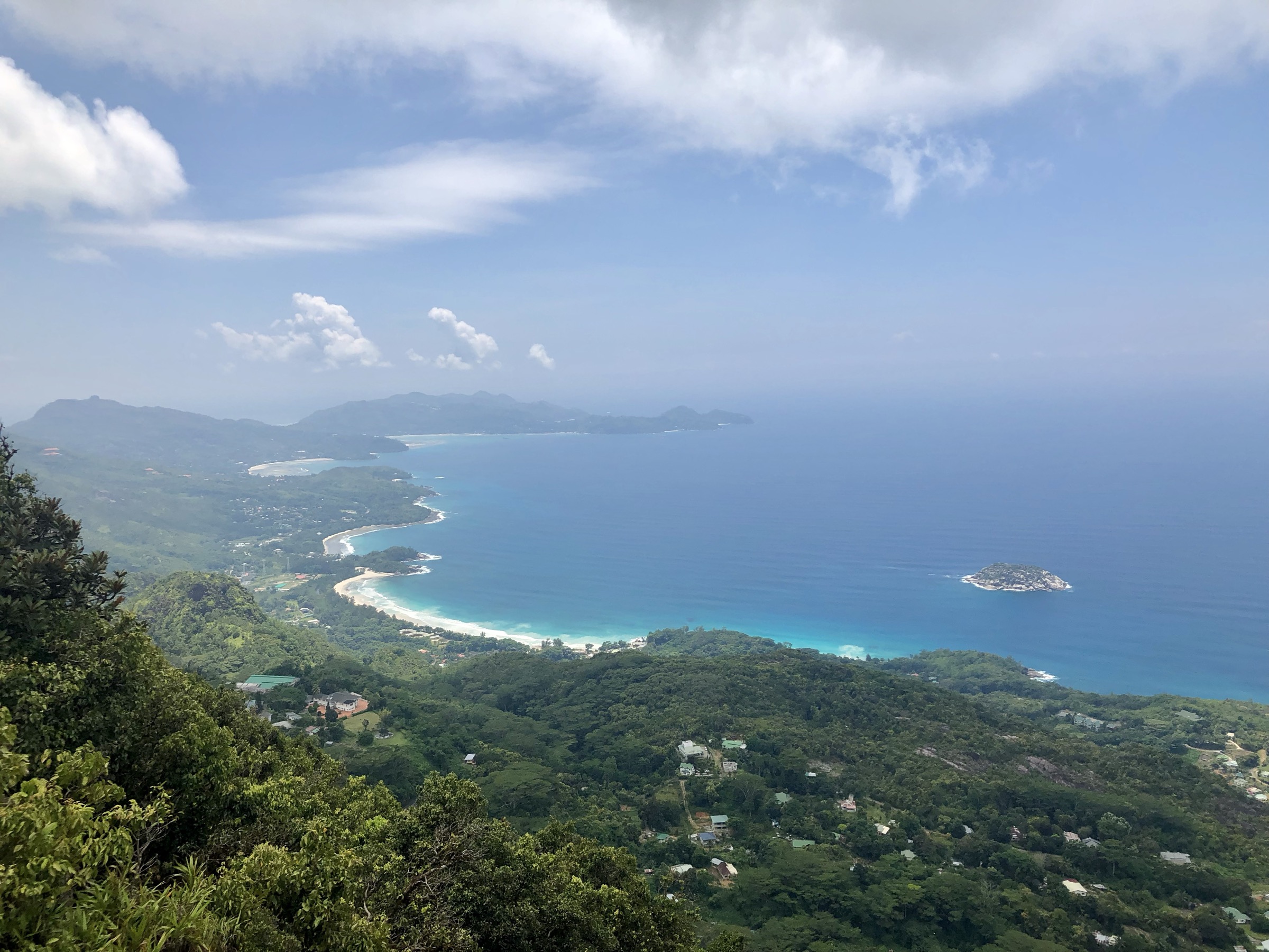
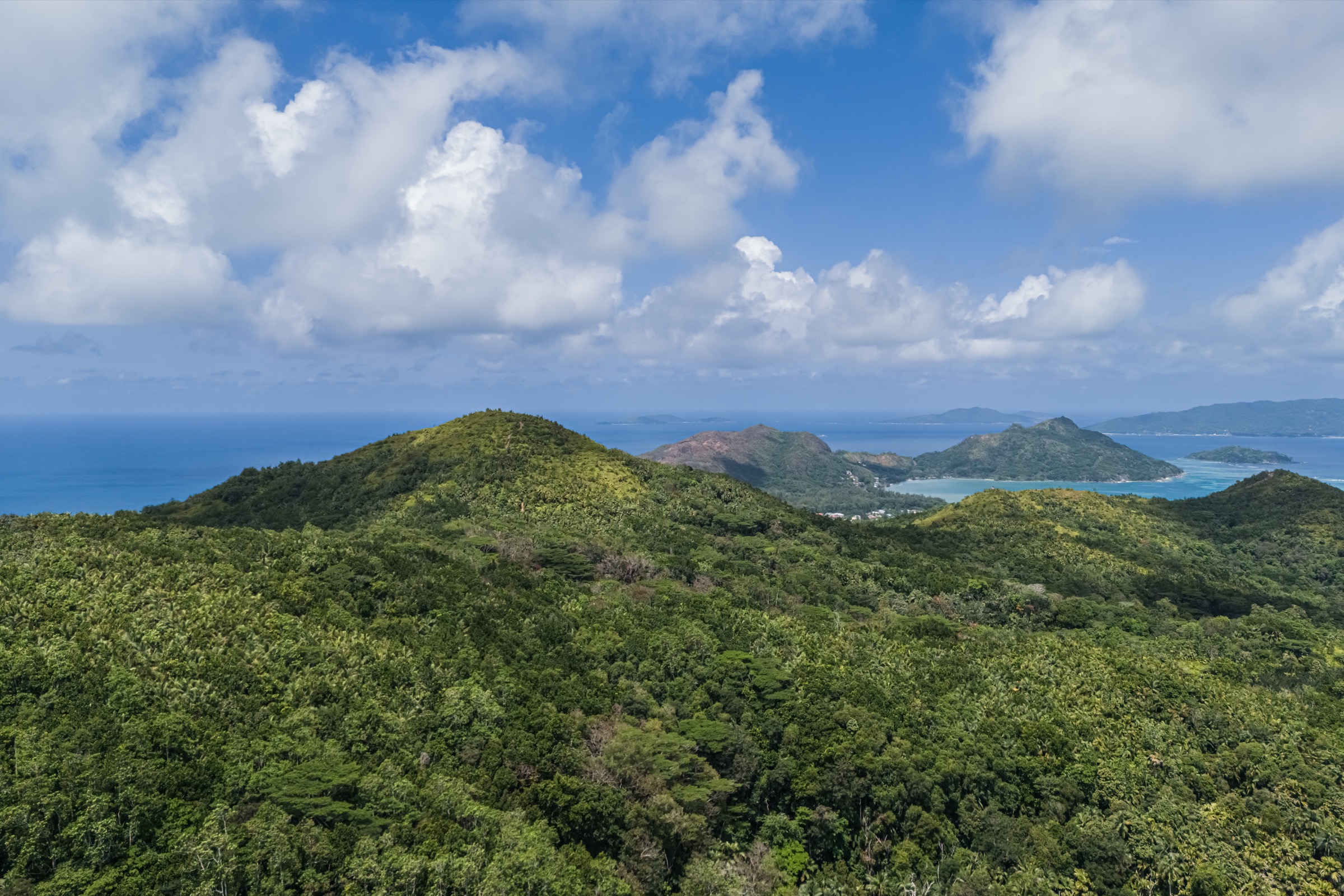
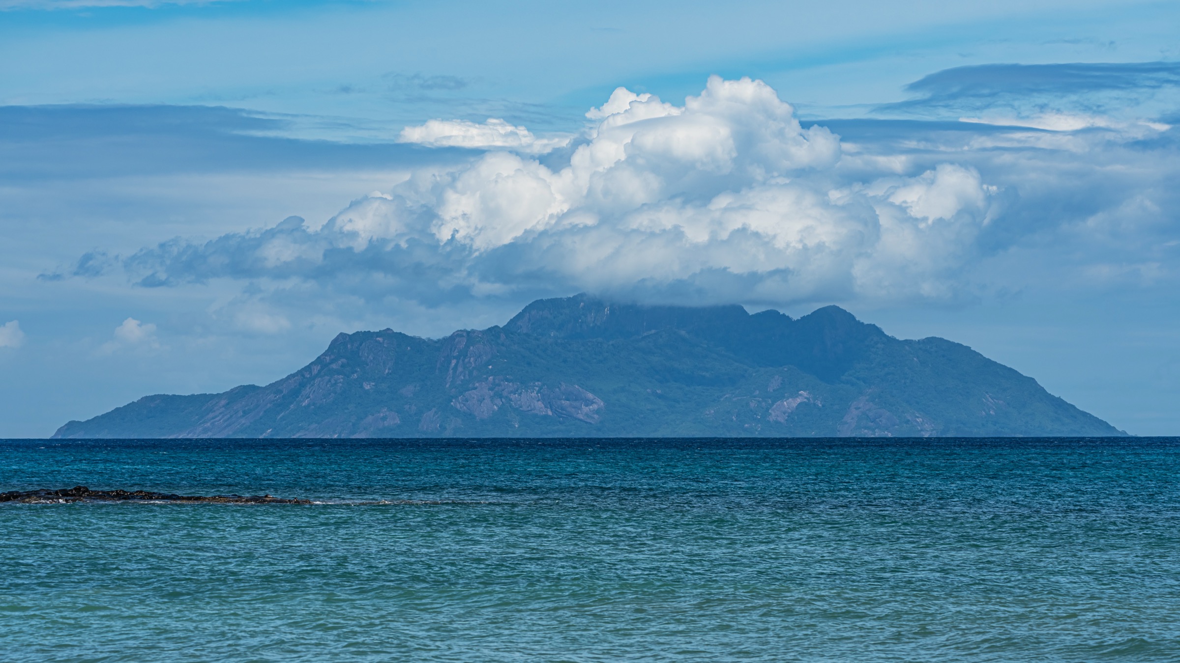
Silhouette is the wildest of the three supplied inner-island mountain areas. Most of the island is protected, with steep granitic slopes, dense forest, remote beaches, old plantation sites, mangroves, and the high Mount Dauban massif. Publicly documented day-hiking information is much thinner than for Mahé and Praslin.
The SPGA-linked Hiking in Seychelles guide documents two quantified Silhouette hikes: Grand Barbe and Anse Mondon. Other named paths appear in secondary references, but current route statistics, access rules, and legal route-file sources were not found in this pass.
Because the task requires exactly five hikes, the final three entries are retained as candidate-only reconnaissance leads rather than guidebook-ready hikes.
Selection rationale
Grand Barbe and Anse Mondon are the only two verified quantified routes found. The additional three candidates represent the likely missing Silhouette mountain walking set: Mount Dauban/Jardin Marron interior access and the north/east coastal path system around Anse Lascars, Anse Cimetière, and Anse Patates.
Summary table
| # | Hike | Country | Route type | Distance | Gain | Max elevation | Difficulty |
|---|---|---|---|---|---|---|---|
| 1 | Grand Barbe Traverse | Seychelles | Boat-assisted point-to-point | 6.5 km | 421 m total | c. 400 m | Hard |
| 2 | Anse Mondon Trail | Seychelles | Out-and-back | 3.2 km | 387 m total | c. 200+ m | Moderate |
| 3 | Mount Dauban / Jardin Marron approach | Seychelles | Candidate only | Unverified | Unverified | c. 740 m area | Hard/technical unknown |
| 4 | Jardin Marron forest route | Seychelles | Candidate only | Unverified | Unverified | Unverified | Unknown |
| 5 | Anse Lascars - Anse Cimetière - Anse Patates coastal path | Seychelles | Candidate only | Unverified | Unverified | Low to moderate | Unknown |
1. Grand Barbe Traverse

Snapshot
Itinerary
The route starts at Grand Barbe beach and wetland, passes through the historic Grand Barbe village area, crosses mangrove/plantation terrain, then climbs steep granite and forested slopes toward the interior. After the high point, the route descends through forest, rock, roots, and reservoir-side tracks to La Passe.
Why it is essential
This is the classic documented cross-island Silhouette mountain route and gives the strongest day-hike representation of the island’s wild interior.
Equipment
Mountain hiking equipment: sturdy boots with excellent grip, water, food, sun protection, rain layer, navigation backup, and local guide strongly recommended.
Hazards and notes
The official guide describes the route as particularly challenging and recommends a veteran island guide. Heat, open granite, poor footing, and route-finding are significant. Boat logistics to Grand Barbe must be arranged.
GPX / KML links
| Source | URL | Format / access | Reuse status |
|---|---|---|---|
| SPGA — Hiking in Seychelles guide | spga.gov.sc | PDF source map/guide | Text/maps/photos rights reserved; source-map reference only |
External links
2. Anse Mondon Trail

Snapshot
Itinerary
From La Passe, the route follows the beach north beyond the Hilton Labriz gardens to the marked national-park trailhead. It climbs through coconut forest, granite, and mixed woodland, passes a viewpoint over Anse Mondon, then descends to the remote northern beach.
Why it is essential
Anse Mondon is the key shorter Silhouette mountain-coast hike and reaches a beach accessible only on foot from this side.
Equipment
Standard to mountain hiking equipment: grippy shoes, water, rain layer, sun protection, and navigation backup.
Hazards and notes
Leaves, rocks, fallen branches, loose stones, and humid heat can make the route more difficult than its length suggests. Resort and national-park access should be confirmed locally.
GPX / KML links
| Source | URL | Format / access | Reuse status |
|---|---|---|---|
| SPGA — Hiking in Seychelles guide | spga.gov.sc | PDF source map/guide | Text/maps/photos rights reserved; source-map reference only |
External links
3. Mount Dauban / Jardin Marron approach

Snapshot
Itinerary
No guidebook-ready itinerary was verified in this pass. The route is retained only as a reconnaissance lead for the interior high mountain of Silhouette.
Why it is essential
Mount Dauban is the dominant summit of Silhouette and would be the natural high-point objective if a legal, non-technical day route can be verified.
Equipment
Do not publish equipment guidance until the legal route, terrain, and guide requirements are confirmed.
Hazards and notes
Potential hazards include dense forest, poor navigation, steep wet terrain, protected-area access restrictions, and possible non-hiking terrain. Do not list as a public hike without local confirmation.
GPX / KML links
| Source | URL | Format / access | Reuse status |
|---|---|---|---|
| None found | — | — | Route geometry unresolved |
External links
4. Jardin Marron forest route

Snapshot
Itinerary
No route description, statistics, or legal public access information were verified strongly enough for publication.
Why it is essential
Jardin Marron appears to be part of the named interior mountain landscape of Silhouette and may represent a botanical/interior forest route, but publication requires local verification.
Equipment
Unresolved. Do not publish as a hike until route legality and terrain are confirmed.
Hazards and notes
Likely navigation and protected-area access issues. Current park/resort/guide information is required.
GPX / KML links
| Source | URL | Format / access | Reuse status |
|---|---|---|---|
| None found | — | — | Route geometry unresolved |
External links
5. Anse Lascars - Anse Cimetière - Anse Patates coastal path

Snapshot
Itinerary
No guidebook-ready itinerary was verified. This entry is a placeholder for a possible coastal/historic walking route around the La Passe and north/east coast path system.
Why it is essential
If confirmed, this route would add the cultural/coastal component missing from the two verified Silhouette mountain hikes.
Equipment
Unresolved; confirm terrain and access before recommending.
Hazards and notes
Possible private/resort access, protected-area restrictions, rough coast path, heat, and unclear wayfinding. Do not publish without current local checks.
GPX / KML links
| Source | URL | Format / access | Reuse status |
|---|---|---|---|
| None found | — | — | Route geometry unresolved |
External links
External links
| Source | URL |
|---|---|
| SPGA — Hiking in Seychelles guide (PDF) | spga.gov.sc |
| SPGA downloads page | spga.gov.sc |