Regional overview
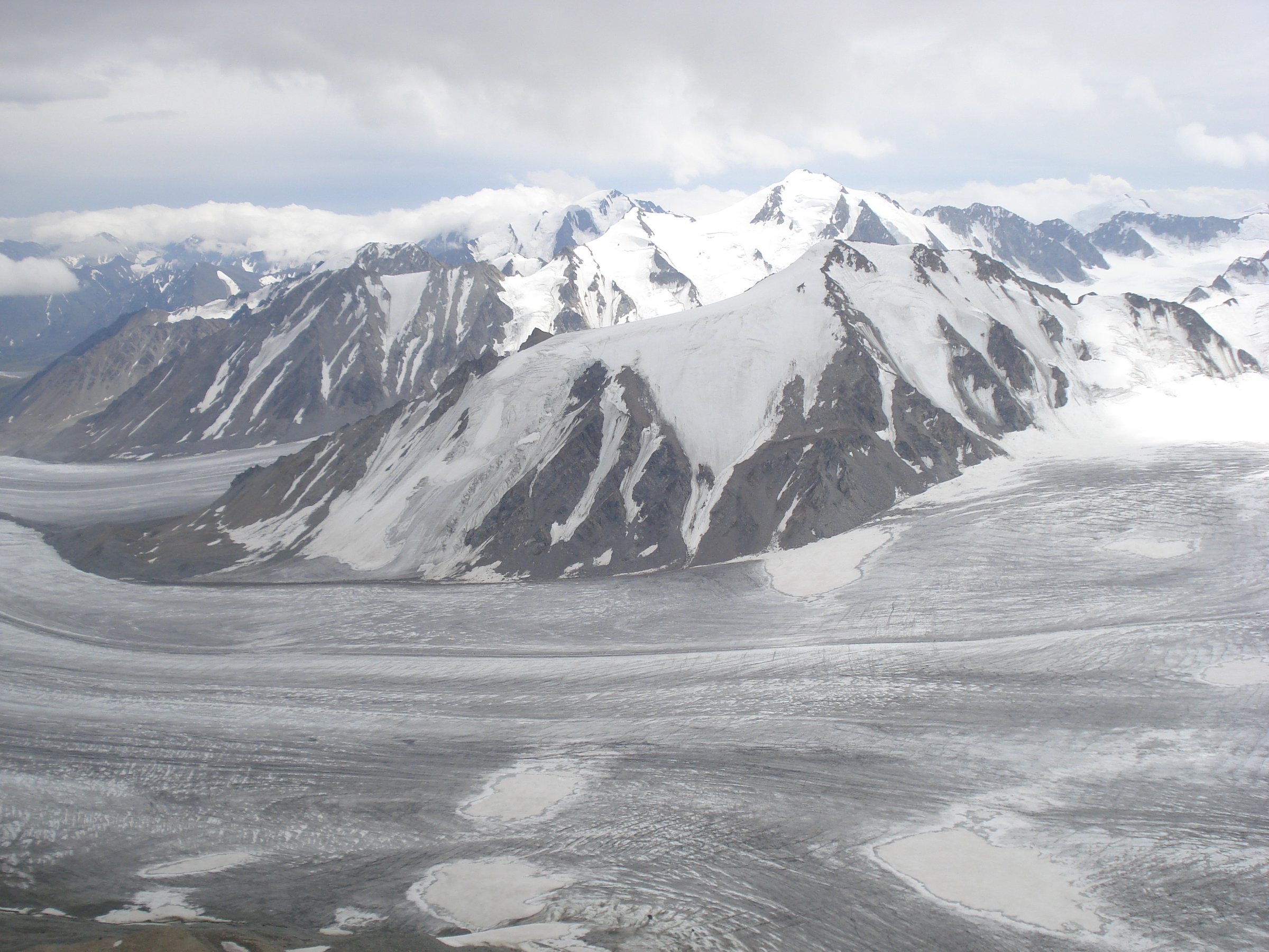
The Sayan Mountains form a broad Siberian and northern Mongolian mountain system, with the most sourceable day-hike infrastructure in this pass concentrated in Russia’s Western Sayan Ergaki Nature Park and the Eastern Sayan/Tunkinsky National Park around Arshan. The walking character is taiga approach, granite ridges, glacial lakes, waterfalls, and steep forested side valleys.
The usual hiking season is short. Ergaki tourism sources describe the Hanging Stone trail as a June to September route, and Tunkinsky routes require normal national-park visitor permission. Weather can change quickly; early and late season snow is a realistic hazard even on non-technical routes.
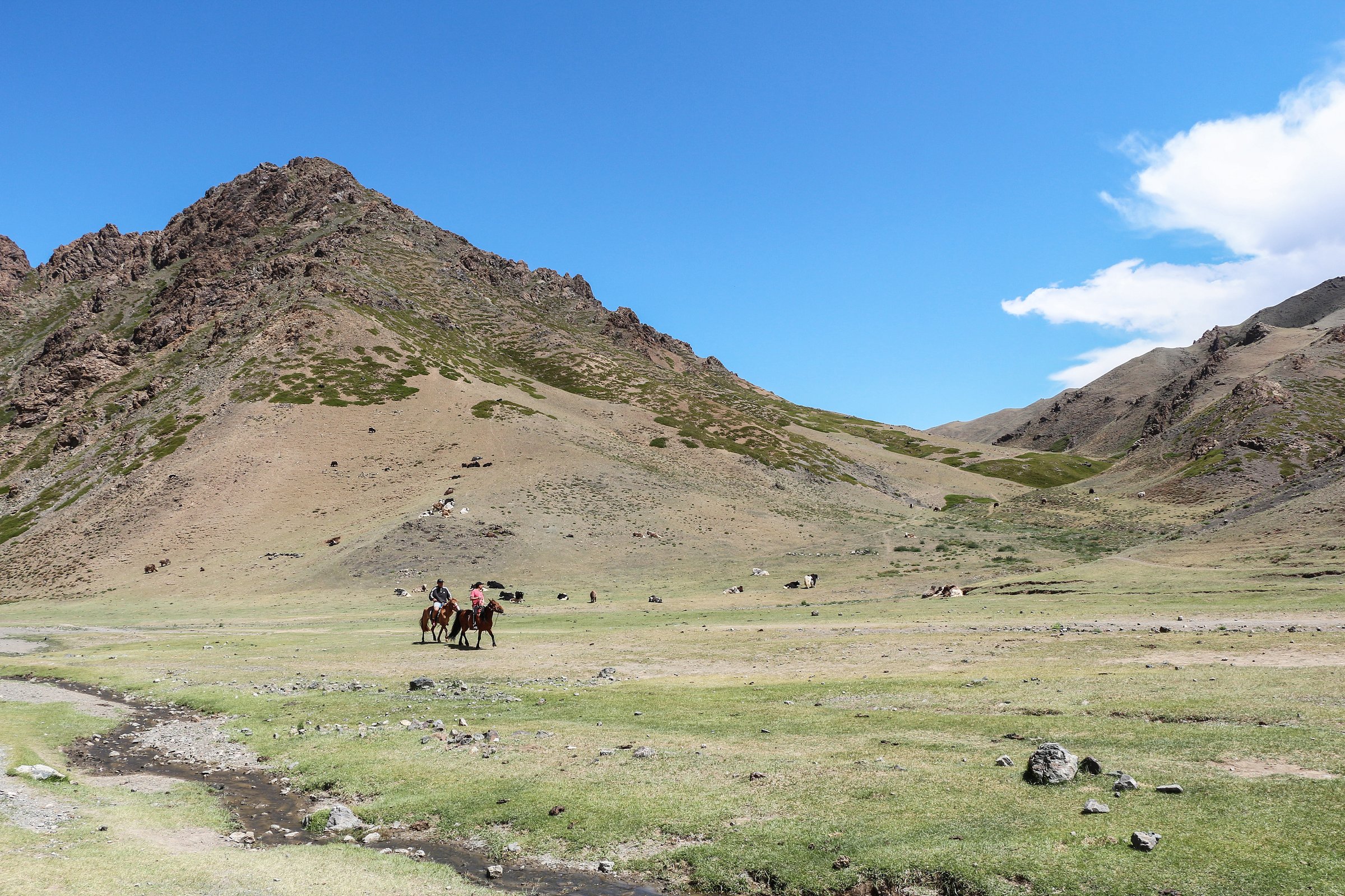
Mongolia-side Sayan day hikes were not selected in this pass because sourceable route statistics, official access rules, and licence-compatible media were not strong enough for publication.
Selection rationale
The five hikes below prioritise the best-known Sayan hiking landscapes that could be checked from official park pages, protected-area/tourism sources, Commons media metadata, and secondary route descriptions. Ergaki’s Raduzhnoye/Hanging Stone and Parabola/Lake Artists routes are iconic but remain route-stat incomplete.
Summary table
| # | Hike | Country | Route type | Distance | Gain | Max elevation | Difficulty |
|---|---|---|---|---|---|---|---|
| 1 | Lake Raduzhnoye and Hanging Stone | Russia | Out-and-back | Unresolved; 5-7h source time | Unresolved | Unresolved | Moderate |
| 2 | Lake Khudozhnikov and Parabola | Russia | Out-and-back | Unresolved | Unresolved | Unresolved | Hard |
| 3 | Kyngarga Waterfalls Ecotrail | Russia | Out-and-back | 6 km | Unresolved | Unresolved | Easy-moderate |
| 4 | Peak Lyubvi ecological trail and upper spur | Russia | Out-and-back | 1.47 km official trail plus unresolved summit spur | Unresolved | Unresolved | Moderate-hard |
| 5 | Khrustalnoye Lake Ecotrail | Russia | Out-and-back | 16 km | Unresolved | Unresolved | Moderate-hard |
1. Lake Raduzhnoye and Hanging Stone
Snapshot
Itinerary
The route approaches Lake Raduzhnoye, a glacial lake below the Sleeping Sayan skyline, and continues to the granite landmark known as the Hanging Stone. The path is a classic Ergaki objective but exact public route geometry, trailhead, and elevation profile could not be verified from a reusable source in this pass.
Why it is essential
Lake Raduzhnoye, the Sleeping Sayan ridge, and the Hanging Stone are among Ergaki’s most recognisable landscapes and are repeatedly cited as signature natural features of the park.
Equipment
- Sturdy boots, waterproof and warm layers, map/GPS, food, water, sun protection.
- Emergency layer.
- Microspikes may be appropriate if early-season snow remains.
Hazards and notes
- Weather changes quickly in Ergaki and snow can occur outside winter.
- The route should not be attempted without current local route confirmation.
- Route statistics remain unresolved.
GPX / KML links
| Source | URL | Format / access | Reuse status |
|---|---|---|---|
| Ergaki interactive map | ergaki-park.ru | Source map | Terms not confirmed; use for manual checking only |
External links
- Ergaki Nature Park — interactive map
- Wikipedia — Hanging Stone
- Wikimedia Commons — Lake Raduzhnoye and Sleeping Sayan
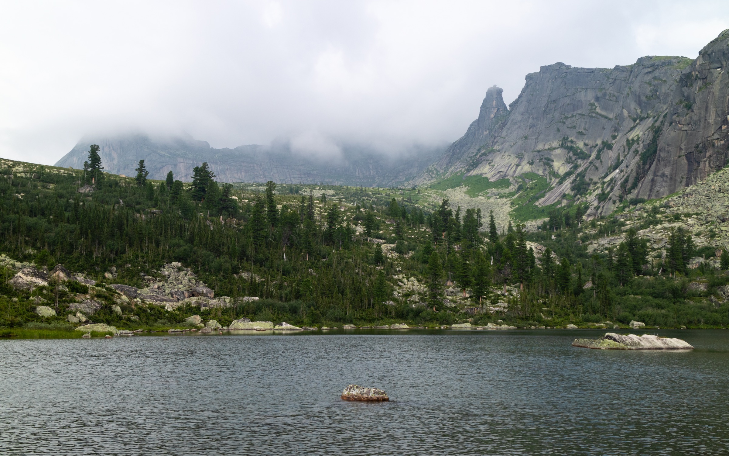
2. Lake Khudozhnikov and Parabola

Snapshot
Itinerary
The route reaches the Taigish/Artists Lake area below the twin granite formation known as Parabola. The terrain is a classic Ergaki mixture of taiga, boulder fields, lake basins, and granite walls. Publicly reusable route geometry was not found in this pass.
Why it is essential
Parabola and Lake Khudozhnikov are among Ergaki’s defining high mountain images and represent the region’s granite cirque landscape better than lower valley walks.
Equipment
- Mountain hiking equipment, trekking poles, navigation backup, warm layer, waterproof shell.
- Enough food/water for a long day.
- Helmet not normally required for the walking route, but rockfall awareness is relevant near steep granite slopes.
Hazards and notes
- Route-finding, snow patches, stream crossings, and rapidly changing weather are the main concerns.
- This entry needs local route-stat verification before publication.
GPX / KML links
| Source | URL | Format / access | Reuse status |
|---|---|---|---|
| Ergaki interactive map | ergaki-park.ru | Source map | Terms not confirmed; use for manual checking only |
External links
3. Kyngarga Waterfalls Ecotrail

Snapshot
Itinerary
The trail leaves Arshan and follows the Kyngarga River gorge toward the first waterfall and viewpoints. The lower route is a popular ecotrail near the resort settlement, with bridges and tourist infrastructure near the first waterfall.
Why it is essential
Kyngarga is the most accessible waterfall/gorge walk in the Eastern Sayan foothills and links the Arshan resort with the Tunkinsky Goltsy mountain backdrop.
Equipment
- Standard hiking equipment.
- Sturdy footwear is recommended because wet rock and steps can be slippery.
Hazards and notes
- The Kyngarga gorge has a history of debris-flow events, including the 2014 Arshan mudflow.
- Avoid the gorge during heavy rain or flood warnings.
GPX / KML links
| Source | URL | Format / access | Reuse status |
|---|---|---|---|
| No public GPX/KML found in this pass | — | — | Manual GPX creation needed |
External links
- Wikipedia (ru) — Arshan resort and ecotrails
- Wikipedia (ru) — Waterfalls on the Kyngarga River
- Wikimedia Commons — Kyngarga
4. Peak Lyubvi Ecological Trail and Upper Spur

Snapshot
Itinerary
The official ecological trail climbs north from Arshan on an engineered path, with four viewpoints over the Tunkinsky Valley, extinct volcanic hills, lakes, and surrounding settlements. The national park notes that the actual Peak Lyubvi is reached by continuing beyond the built trail on an unimproved section.
Why it is essential
This is the signature Arshan viewpoint walk, combining mountain-foothill terrain with broad views of the Eastern Sayan and Tunkinsky Valley.
Equipment
- Standard hiking equipment for the lower trail.
- Mountain hiking equipment, navigation backup, and extra layers are recommended for the upper spur.
Hazards and notes
- The built trail has steep zigzags with 30-40 degree climbing sections according to the park page.
- The upper spur is not measured in the public page and should be treated as a separate mountain objective.
GPX / KML links
| Source | URL | Format / access | Reuse status |
|---|---|---|---|
| Tunkinsky National Park route tracker | tunkapark.ru | Source page with linked tracker | Terms not confirmed; use as source route only; reuse unresolved |
External links
5. Khrustalnoye Lake Ecotrail
Snapshot
Itinerary
The ecotrail is listed from Arshan toward Khrustalnoye Lake in the Tunkinsky Goltsy foothills. Detailed public route geometry, elevation profile, and current trail condition were not verified in this pass.
Why it is essential
The route adds a lake objective to the Arshan/Tunkinsky set and represents the longer day-hike terrain below the Eastern Sayan ridges.
Equipment
- Mountain hiking equipment, navigation backup.
- Food, water, waterproof layer, warm layer, and headtorch for a long day.
Hazards and notes
- Treat this as provisional until a current local route source or GPX is obtained.
- Snow, mud, and river conditions may affect access.
GPX / KML links
| Source | URL | Format / access | Reuse status |
|---|---|---|---|
| No public GPX/KML found in this pass | — | — | Manual GPX creation needed |
External links
Missing data / follow-up work
- Ergaki day-route distances, gains, trailhead coordinates, and official GPX/KML remain unresolved.
- Khrustalnoye Lake route details need a current official or local route source.
- Mongolia-side Sayan day hikes need fresh official/local sourcing before inclusion.
- Public transport details and current seasonal closures need local confirmation.
- Most route-file reuse terms are unresolved.
External links
| Source | URL |
|---|---|
| Ergaki Nature Park — interactive map | ergaki-park.ru |
| Tunkinsky National Park — routes | tunkapark.ru |
| Tunkinsky National Park — Peak Lyubvi route | tunkapark.ru |
| Wikipedia (ru) — Arshan resort and ecotrails | ru.wikipedia.org |
| Wikipedia (ru) — Waterfalls on the Kyngarga River | ru.wikipedia.org |
| Wikipedia — Hanging Stone | en.wikipedia.org |