Regional overview
The Huancavelica / Ayacucho highlands form a broad, less heavily visited part of the central-southern Peruvian Andes. The walking character is high puna, dry valleys, colonial mining heritage, Quechua communities, puya forests, limestone and volcanic rock scenery, turquoise canyon water, and sacred mountain landscapes.
The main bases are Huancavelica city, Ayacucho / Huamanga, Huanta, Huancaraylla, Vischongo, and smaller communities along the Via de los Libertadores and the Huancavelica-Ayacucho corridor. Tourism infrastructure is thinner than in Cusco or Huaraz, so route details, public transport, and access rules require local confirmation.
The best walking season is generally the drier Andean season from May to October. Many routes are between 3,600 m and 4,900 m, so cold, strong sun, storms, and altitude illness are important considerations. Some routes are cultural or community-managed sites rather than formal signed mountain trails; the catalogue marks unresolved statistics and GPX gaps accordingly.
Selection rationale
The five selected hikes cover the core character of the region: the historic Santa Barbara mining landscape above Huancavelica, a short Saccsachaca gorge/waterfall route, a puya Raimondii highland walk, the turquoise Millpu canyon in Ayacucho, and the Apu Razuhuillca mountain-lake/snow viewpoint route near Huanta. Titankayocc is listed in follow-up because official material confirms its importance but trail statistics were not strong enough in this pass.
Summary table
| # | Hike | Country | Route type | Distance | Gain | Max elevation | Difficulty |
|---|---|---|---|---|---|---|---|
| 1 | Santa Barbara Mine and Sacsamarca from Huancavelica | Peru | Out-and-back / historical ascent | Distance unresolved | Approx. 500 m vertical range from sources; route gain unresolved | 4,200 m site upper range | Hard |
| 2 | Saccsachaca Gorge / Waterfall Walk | Peru | Point-to-point | 2.6 km | 37 m | Easy | |
| 3 | Puya Raimondii de Ccarhuaccpampa | Peru | Point-to-point | 3.1 km | 37 m | Moderate | |
| 4 | Aguas Turquesas de Millpu | Peru | Out-and-back access walk | 2 km one way from Pataqocha; approx. 4 km return | site spans 3,600-3,950 m | 3,950 m site upper range | Moderate |
| 5 | Apu Razuhuillca Lakes / Snow Viewpoint | Peru | Out-and-back candidate | 4,954 m for Apu Razuhuillca | Hard |
1. Santa Barbara Mine and Sacsamarca from Huancavelica
Snapshot
Itinerary
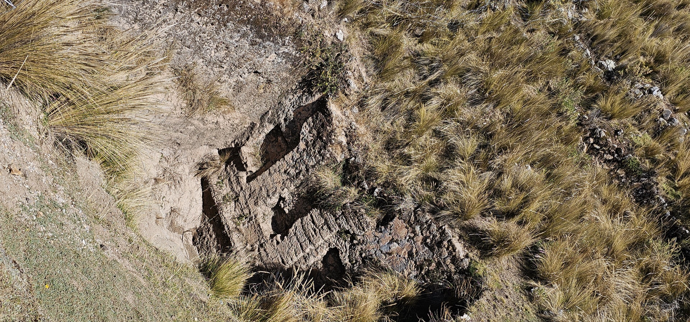
The route climbs from Huancavelica toward the Santa Barbara mining landscape, historically one of the most important mercury/cinnabar mining complexes in Peru. MINCETUR locates the resource in the Santa Barbara and Rosario ravine sector of the Ichu sub-basin at roughly 3,700-4,200 m. Lonely Planet describes access as a tough but rewarding 1.5 hr hike from Huancavelica.
The route should be treated as a heritage walk through a fragile and potentially hazardous mining landscape. The selected hike does not enter unsafe mine workings.
Why it is essential
Santa Barbara is the defining historical mountain walk of Huancavelica, combining altitude, colonial mining history, abandoned settlement remains, and views over the city.
Equipment
- Sturdy boots
- Warm layer
- Wind/rain shell
- Sun protection
- Water and snacks
- Map/GPS
- Headtorch
- Helmet may be prudent near unstable mine ruins or rockfall-prone walls, but mine entry is not recommended
Hazards and notes
- Do not enter mine adits, shafts, or unstable buildings.
- Rockfall, open holes, contaminated mine areas, altitude, sun exposure, and lack of signage are key hazards.
- The Regional Government of Huancavelica announced a 2026 cooperation framework to put the site in value for tourism, so access and works may change.
GPX / KML links
| Source | URL | Format / access | Reuse status |
|---|---|---|---|
| No route file found | — | — | Manual GPX creation needed from field-verified route or legal source geometry |
External links
- MINCETUR inventory — Santa Barbara mining resource
- Lonely Planet — Minas de Santa Barbara
- Gobierno Regional de Huancavelica — Santa Barbara tourism cooperation
2. Saccsachaca Gorge / Waterfall Walk
Snapshot
Itinerary
The short route follows the Saccsachaca local gorge / waterfall sector near Huancavelica. AllTrails lists it as an easy 2.6 km point-to-point hike with river and waterfall features. The route is included as the compact nature walk in the Huancavelica part of the region.
Why it is essential
Saccsachaca gives the catalogue a short, accessible Huancavelica walk contrasting with the higher Santa Barbara and Ayacucho routes.
Equipment
- Hiking shoes with grip
- Light weatherproof layer
- Water
- Sun protection
Hazards and notes
- Wet rock and informal paths.
- Local access uncertainty.
- Confirm the exact start/finish and return transport locally.
GPX / KML links
| Source | URL | Format / access | Reuse status |
|---|---|---|---|
| AllTrails: Saccsachaca | alltrails.com | Source map; AllTrails terms apply | No direct GPX retrieved; source-map reference only |
External links
3. Puya Raimondii de Ccarhuaccpampa
Snapshot
Itinerary
This short walk visits a stand of Puya raimondii near Ccarhuaccpampa, a highland hamlet on the Libertadores road. AllTrails describes the puya as a giant high-Andean bromeliad that can reach several metres and flowers once after decades before dying.
Why it is essential
Puya Raimondii forests are one of the distinctive natural features of the Ayacucho-Huancavelica highlands. This route gives a short botanical counterpart to the region’s mining, water, and mountain-lake hikes.
Equipment
- Hiking shoes
- Warm/windproof layer
- Water
- Sun protection
- Camera/binoculars for low-impact observation
Hazards and notes
- Stay on existing paths and avoid damaging puya plants.
- The route may be short but still lies at altitude with strong sun and cold wind.
GPX / KML links
| Source | URL | Format / access | Reuse status |
|---|---|---|---|
| AllTrails: Puyas Raimondi de Ccarhuaccpampa | alltrails.com | Source map; AllTrails terms apply | No direct GPX retrieved; source-map reference only |
External links
4. Aguas Turquesas de Millpu
Snapshot
Itinerary
From Pataqocha, the walking access follows a 2 km bridle path to the Millpu turquoise-water canyon. MINCETUR describes the resource as a natural site with turquoise/green pools, waterfalls of roughly 10-20 m, and about 33 pools formed along the river after water emerges from a subterranean section.
The route should remain on the managed paths and viewpoints above the water. Bathing rules, entry fees, and seasonal closures require local confirmation.
Why it is essential
Millpu is one of the best-known natural day walks in Ayacucho: short, visually distinctive, and representative of the region’s dry highland canyon landscapes.
Equipment
- Hiking shoes with grip
- Sun protection
- Warm layer
- Water
- Rain shell in wet season
Hazards and notes
- Canyon edge, wet steps, crowding, and altitude are the main issues.
- Do not enter closed pools or unstable sections.
- Confirm community entry rules and whether water colour/viewpoint access is affected by rain.
GPX / KML links
| Source | URL | Format / access | Reuse status |
|---|---|---|---|
| MINCETUR inventory access description | consultasenlinea.mincetur.gob.pe | Official route/access note; no GPX terms stated | Source access description only; no GPX found |
External links
- MINCETUR inventory — Aguas Turquesas de Millpu
- Millpu local information site
- Safe Travels Ayacucho destination list
5. Apu Razuhuillca Lakes / Snow Viewpoint
Snapshot
Itinerary
Apu Razuhuillca is the tutelary mountain of Huanta and a major natural-cultural feature of Ayacucho. MINCETUR lists observation of landscape, traditional rituals, hiking/trekking, and mountaineering as activities. The catalogue route is limited to the lakes / snow-viewpoint approach; the summit or snow climb should be treated separately as a mountaineering objective requiring specialist guidance.
Why it is essential
Razuhuillca is the principal high-mountain symbol of northern Ayacucho and gives the region a true snow-mountain day objective. It remains a candidate until route statistics and legal route geometry are better verified.
Equipment
- Sturdy boots
- Warm layer
- Waterproof/windproof shell
- Gloves
- Sun protection
- Water and food
- Map/GPS
- Headtorch and navigation backup
- Technical snow or glacier equipment should not be implied for the hiking viewpoint route; if the route crosses snow or ice, local guidance is required
Hazards and notes
- Altitude near 5,000 m, cold, storms, snow, poor visibility, and uncertain route definition are key hazards.
- Sacred mountain and ritual practices should be respected.
- Summit climbing is outside this day-hike entry.
GPX / KML links
| Source | URL | Format / access | Reuse status |
|---|---|---|---|
| No route file found | — | — | Route stats and GPX need follow-up from a legal source |
External links
- MINCETUR inventory — Apu Razuhuillca
- DIRCETUR Ayacucho project sheet — Apu Razuhuillca tourism services
External links
| Source | URL |
|---|---|
| MINCETUR inventory — Santa Barbara | consultasenlinea.mincetur.gob.pe |
| Gobierno Regional de Huancavelica — Santa Barbara tourism cooperation | regionhuancavelica.gob.pe |
| AllTrails — Huancavelica trail index | alltrails.com |
| AllTrails — Saccsachaca | alltrails.com |
| AllTrails — Puyas Raimondi de Ccarhuaccpampa | alltrails.com |
| MINCETUR inventory — Aguas Turquesas de Millpu | consultasenlinea.mincetur.gob.pe |
| MINCETUR inventory — Apu Razuhuillca | consultasenlinea.mincetur.gob.pe |
| Titankayocc official site | titankayocc.pe |