Regional overview
The Colca / Arequipa volcanic Andes combine one of the world’s deepest canyon landscapes with pre-Inca terraces, villages, condor viewpoints and high volcanic backdrops. The walking character is dry, steep and high: several routes start near 3,300-3,700 m, drop hard into the Colca Canyon, or traverse exposed puna and terrace paths above the valley.
The main hiking bases are Cabanaconde, Chivay, Yanque, Coporaque and Madrigal. The most famous hikes are canyon descents from Cabanaconde to Sangalle, San Juan de Chuccho and related hamlets, but the region also has short rim viewpoints and cultural routes such as Uyo Uyo and Chimpa. The Colca y Volcanes de Andagua UNESCO Global Geopark context is important because route access, community rules, ticketing and heritage protection can change locally.
Altitude, sun, heat in the canyon floor, cold wind on the rim, loose volcanic rock, dry-season water scarcity, wet-season trail damage and limited rescue access are the major hazards. January-March rains can make steep canyon trails confusing or unsafe; the drier May-November period is generally more reliable.
Selection rationale
The selection balances the two essential Cabanaconde canyon routes with a short rim viewpoint, a terrace-and-archaeology walk around Yanque / Coporaque, and the Chimpa fortress viewpoint above Madrigal. Cruz del Condor is intentionally treated as a viewpoint stop rather than a hike, while longer Colca multi-day circuits are represented only by their clear one-day sections.
Summary table
| # | Hike | Country | Route type | Distance | Gain | Max elevation | Difficulty |
|---|---|---|---|---|---|---|---|
| 1 | Cabanaconde to Sangalle Oasis | Peru | Out-and-back | 10.8 km | 1,063 m | 3,290 m | Hard |
| 2 | Cabanaconde to San Juan de Chuccho day section | Peru | Point-to-point | 10.3 km | 273 m recorded gain; major descent | 3,450 m | Moderate-hard |
| 3 | Mirador Achachihua from Cabanaconde | Peru | Out-and-back | 2.9 km | 47 m | 3,288 m | Easy |
| 4 | Waterfall and Ruin of Uyo Uyo | Peru | Loop | 4.2 km | 289 m | 3,690 m | Moderate |
| 5 | Fortaleza de Chimpa from Madrigal | Peru | Out-and-back / loop variant | 8.45 km source listing | 953 m source listing | Hard |
1. Cabanaconde to Sangalle Oasis
Snapshot
Itinerary
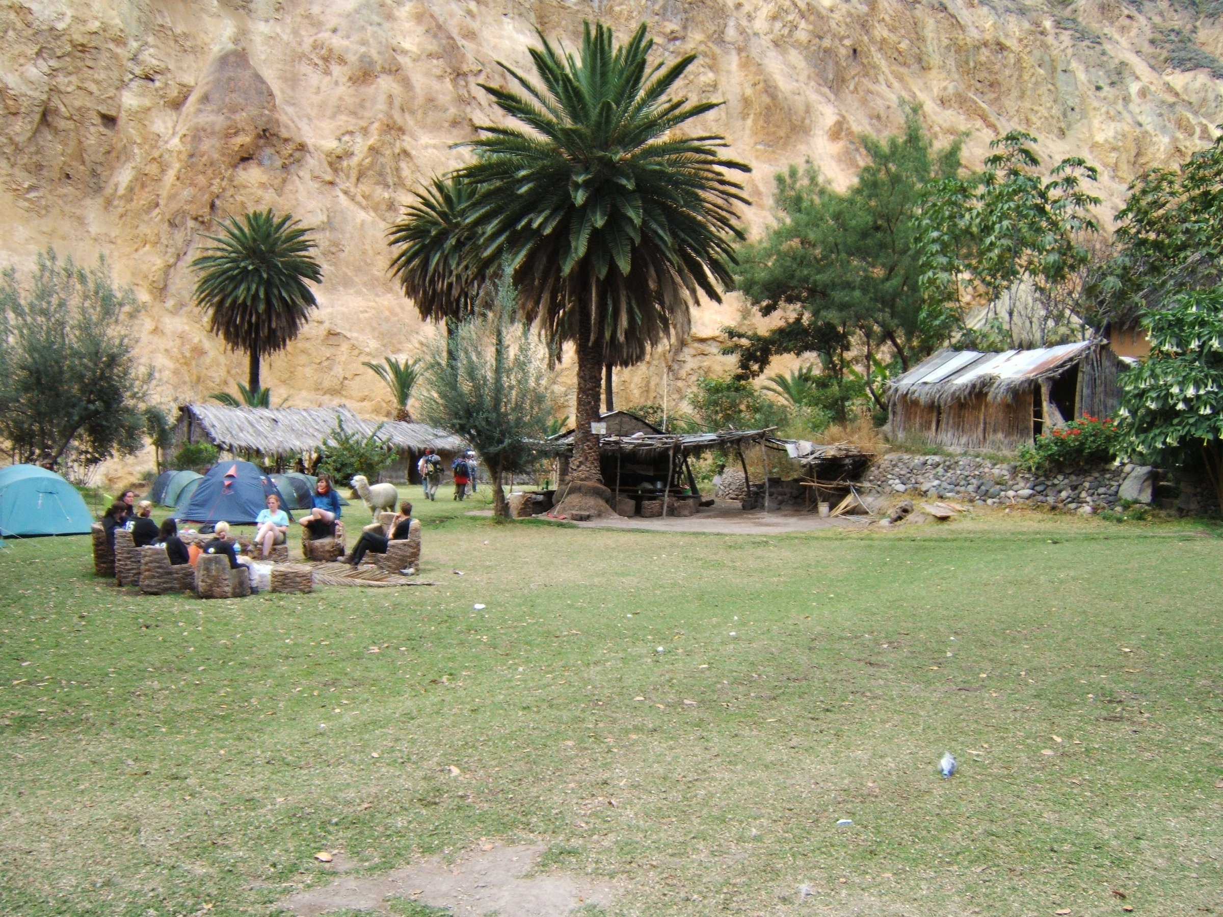
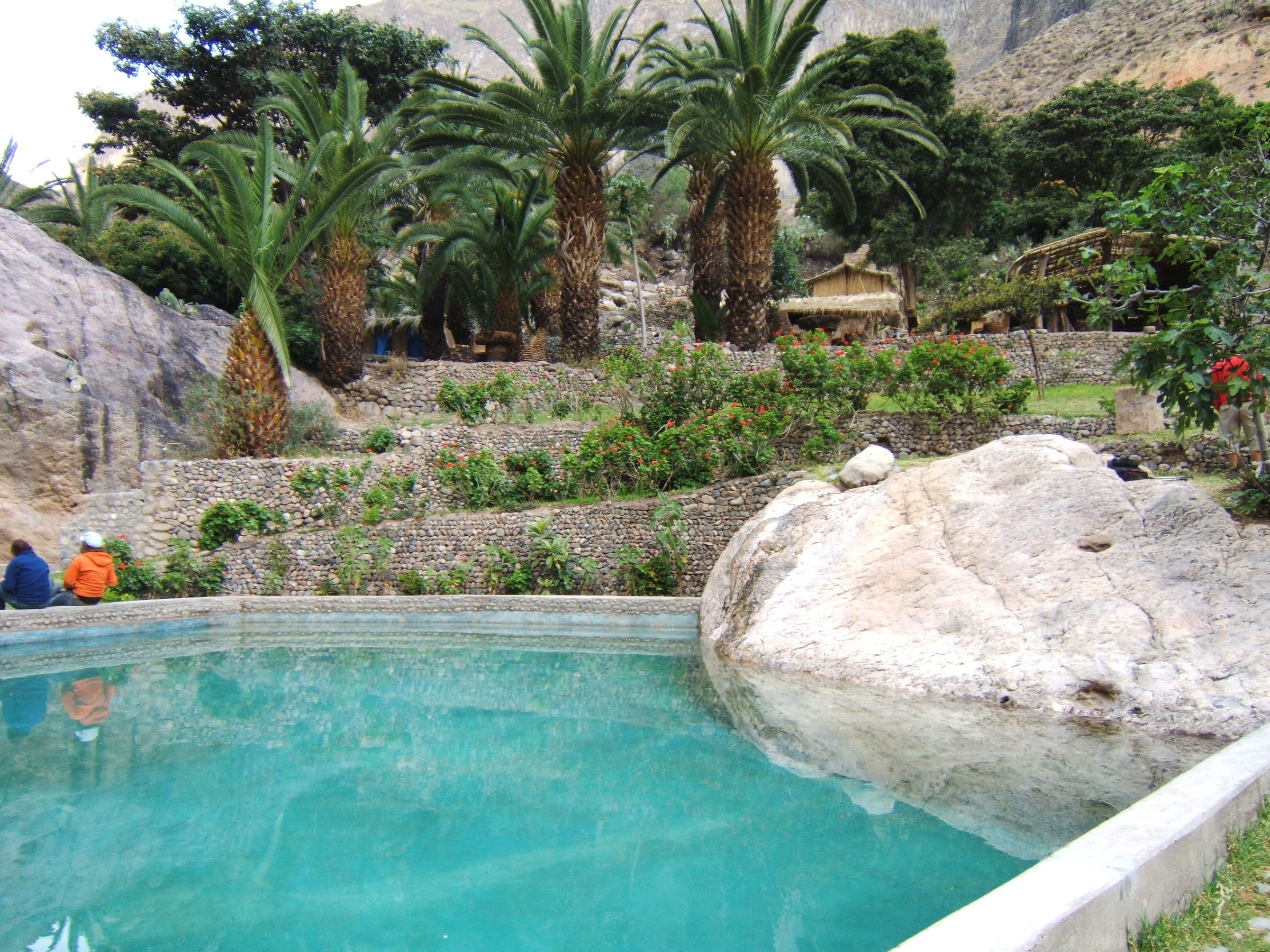
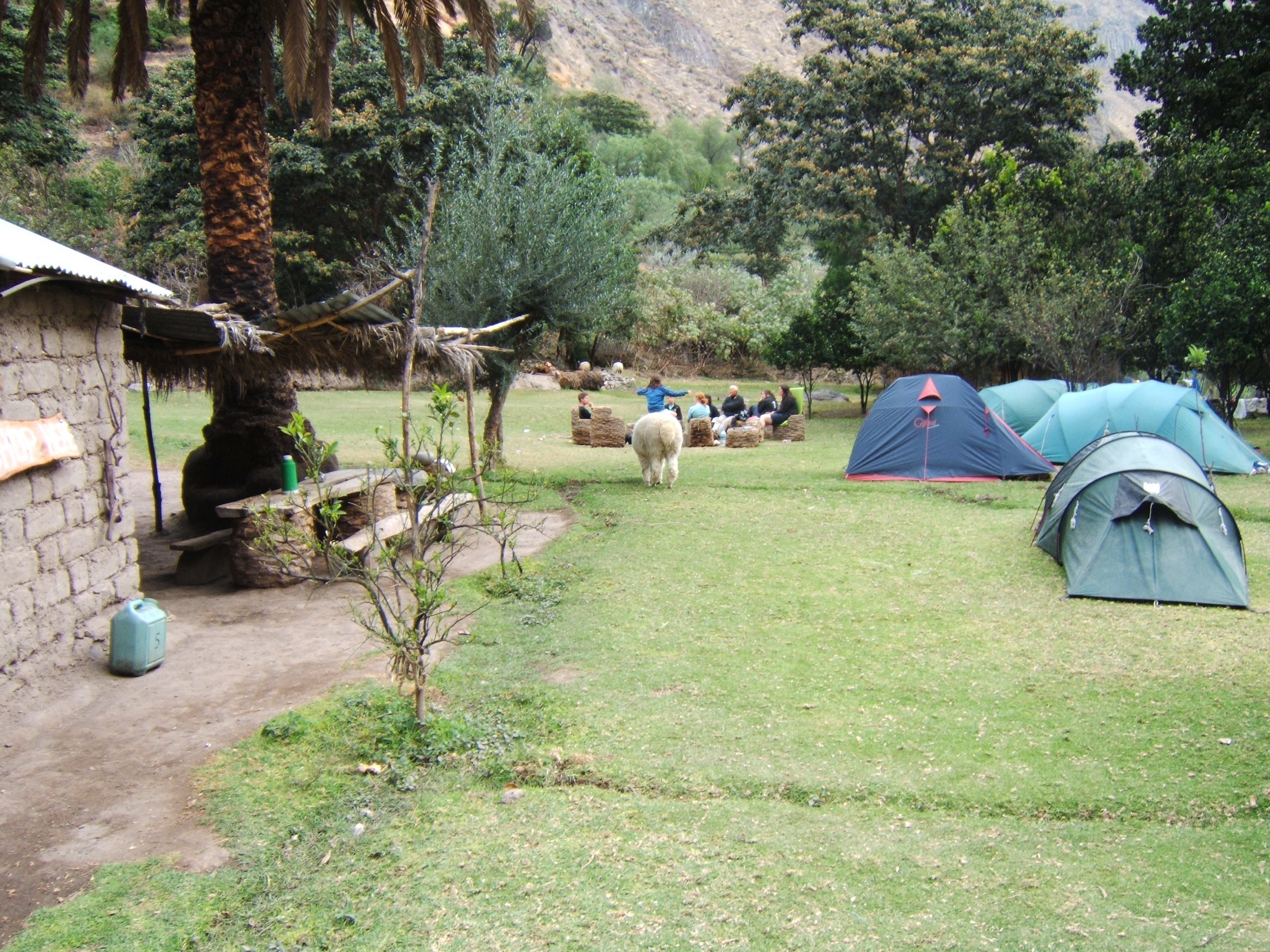
From Cabanaconde the route drops from the canyon rim on a steep dusty path into the Colca Canyon, descending through arid slopes and switchbacks toward the green oasis of Sangalle. The return climbs the same ground back to Cabanaconde, making the second half much harder than the first. The route is popular, but it is still a serious dry-canyon ascent because the climb back to the rim is long, hot and exposed.
Why it is essential
Sangalle is the classic Colca Canyon day objective: it gives the full rim-to-canyon-floor experience in a single strenuous outing and is one of the most recognised trekking routes from Cabanaconde.
Equipment
- Mountain hiking shoes
- Sun hat, sunglasses, high-SPF sunscreen
- 2-3 litres of water
- Food
- Warm layer for the rim
- Rain shell in wet season
- Headtorch
- Offline map/GPS
- Trekking poles
- Cash for local access/services where applicable
Hazards and notes
- Heat, dehydration, loose dusty rock, steep descent strain, altitude on the rim and a long return climb are the main hazards.
- Rain can damage or obscure the trail.
- Start early and do not rely on water being available in the canyon.
GPX / KML links
| Source | URL | Format / access | Reuse status |
|---|---|---|---|
| AllTrails: Colca Canyon Trek — Cabanaconde — Sangalle | alltrails.com | Source map; AllTrails terms apply | Source-map reference only; direct GPX reuse unresolved |
External links
- AllTrails — Colca Canyon Trek: Cabanaconde - Sangalle
- UNESCO — Colca y Volcanes de Andagua UNESCO Global Geopark
2. Cabanaconde to San Juan de Chuccho day section
Snapshot
Itinerary
This is the opening one-day section of the classic Colca Canyon trek. From Cabanaconde the path descends from the high rim on loose volcanic and sedimentary slopes toward the Colca River, then continues to San Juan de Chuccho. It is feasible as a day section, but not as a simple same-day public-transport hike unless return logistics, overnight stay, mule support or a reverse ascent are arranged.
Why it is essential
San Juan de Chuccho is the representative village-to-village Colca trekking section, showing the scale of the canyon and the lived-in valley below the rim better than a short viewpoint walk can.
Equipment
- Sturdy shoes or boots
- Trekking poles
- Sun protection
- Water and food
- Warm layer
- Rain shell in wet season
- Offline map/GPS
- Headtorch
- Enough supplies to be independent if village services are closed
Hazards and notes
- Loose dusty rock, a long descent, heat, limited shade, altitude at the rim and unclear wet-season tread are the main issues.
- The route-stat discrepancy between the descent and reverse AllTrails tracks should be rechecked before final publication.
GPX / KML links
| Source | URL | Format / access | Reuse status |
|---|---|---|---|
| AllTrails: Colca Canyon — Cabanaconde — San Juan de Chuccho | alltrails.com | Source map; AllTrails terms apply | Source-map reference only; direct GPX reuse unresolved |
| AllTrails: Colca Canyon — San Juan de Chuccho — Cabanaconde | alltrails.com | Reverse source map; AllTrails terms apply | Useful for descent/gain cross-check; direct reuse unresolved |
External links
- AllTrails — Cabanaconde - San Juan de Chuccho
- AllTrails — San Juan de Chuccho - Cabanaconde reverse route
- UNESCO — Colca y Volcanes de Andagua UNESCO Global Geopark
3. Mirador Achachihua from Cabanaconde
Snapshot
Itinerary
The route leaves Cabanaconde on a short path to the canyon edge, passing two viewpoints before reaching Mirador Achachihua. It is a low-commitment rim walk with immediate views into the Colca Canyon, useful for acclimatisation or for walkers who should not descend into the canyon.
Why it is essential
Achachihua is the essential short canyon-rim hike from Cabanaconde: it gives the scale of the canyon without the large descent and return climb of Sangalle or San Juan.
Equipment
- Comfortable walking shoes
- Sun protection
- Water
- Warm/wind layer
- Offline map
Hazards and notes
- The walk is easy, but the rim environment is still high, sunny and exposed.
- Stay on established paths near viewpoints and avoid the edge in wind, rain or poor visibility.
- Keep children and uncertain walkers well back from rim edges.
GPX / KML links
| Source | URL | Format / access | Reuse status |
|---|---|---|---|
| AllTrails: Mirador Achachihua | alltrails.com | Source map; AllTrails terms apply | Source-map reference only; direct GPX reuse unresolved |
External links
4. Waterfall and Ruin of Uyo Uyo
Snapshot
Itinerary
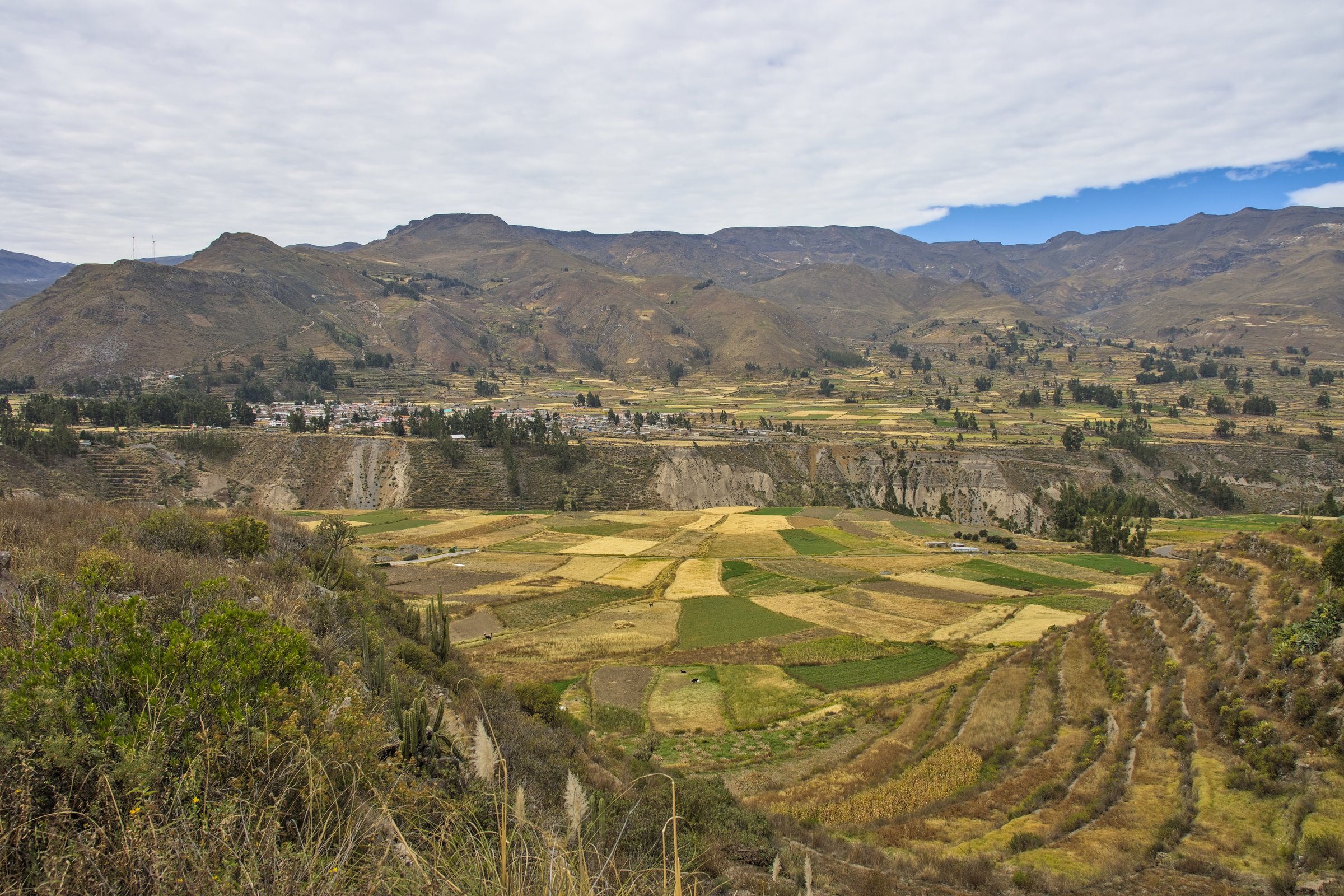
The loop crosses the terrace landscape near Yanque / Coporaque, visiting the Uyo Uyo archaeological complex and a waterfall. The AllTrails route describes a short but steep circuit through agricultural terraces, river scenery, historical remains and rougher sections above the valley.
Why it is essential
Uyo Uyo adds the cultural Colca landscape to the canyon catalogue: terraces, archaeological remains, village access and water features in one compact walk.
Equipment
- Walking shoes with grip
- Water
- Sun protection
- Warm/wind layer
- Rain shell in wet season
- Offline map
- Trekking poles for steep or loose sections
Hazards and notes
- Some sections are steep or unclear, and reviews note route-finding issues.
- Wet rock, irrigation channels, river crossings/bridges and fragile archaeological areas require care.
- Do not climb on ruins.
GPX / KML links
| Source | URL | Format / access | Reuse status |
|---|---|---|---|
| AllTrails: Waterfall and Ruin of Uyo Uyo | alltrails.com | Source map; AllTrails terms apply | Source-map reference only; direct GPX reuse unresolved |
| AllTrails: Yanque — Coporaque | alltrails.com | Nearby connector / cross-check; AllTrails terms apply | Variant reference only |
External links
5. Fortaleza de Chimpa from Madrigal
Snapshot
Itinerary
From Madrigal the route climbs above the right bank of the Colca Valley toward the pre-Hispanic Fortaleza de Chimpa and its canyon viewpoints. Wikiloc lists both a shorter “Fortaleza Chimpa” route and a longer “Fortaleza de Chimpa” variant from the Madrigal area. The shorter listing gives 5.25 mi / 8.45 km and 3,127 ft / 953 m of ascent, but a complete source track with max elevation and time was not verified in this pass.
Why it is essential
Chimpa is the best cultural summit-viewpoint candidate in the upper Colca Valley: a fortification and canyon balcony that broadens the catalogue beyond the standard Cabanaconde descents.
Equipment
- Mountain hiking boots
- Sun protection
- Water and food
- Warm/wind layer
- Rain shell
- Headtorch
- Offline map/GPS
- Trekking poles
- Local guide recommended unless current route condition is known
Hazards and notes
- The main unresolved issue is route precision.
- Treat the outing as steep, dry, exposed and navigation-sensitive until a complete track is checked.
- Respect archaeological remains and community access rules.
GPX / KML links
| Source | URL | Format / access | Reuse status |
|---|---|---|---|
| Wikiloc: hiking trails in Madrigal, including Fortaleza Chimpa | wikiloc.com | Source listing / route platform; Wikiloc terms apply | Route stats partly visible; direct GPX reuse unresolved |
| Wikiloc: Fortalesa de Chimpa Madrigal | wikiloc.com | Source route / GPX platform; Wikiloc terms apply | Source route found; full stats not reverified in this pass |
External links
- Wikiloc — hiking trails in Madrigal
- Wikiloc — Fortalesa de Chimpa Madrigal
- UNESCO — Colca y Volcanes de Andagua UNESCO Global Geopark
- Geoparque Colca y Volcanes de Andagua
External links
| Source | URL |
|---|---|
| AllTrails — Colca Canyon Trek: Cabanaconde - Sangalle | alltrails.com |
| AllTrails — Cabanaconde - San Juan de Chuccho | alltrails.com |
| AllTrails — San Juan de Chuccho - Cabanaconde reverse route | alltrails.com |
| AllTrails — Mirador Achachihua | alltrails.com |
| AllTrails — Waterfall and Ruin of Uyo Uyo | alltrails.com |
| AllTrails — Yanque - Coporaque | alltrails.com |
| Wikiloc — hiking trails in Madrigal | wikiloc.com |
| Wikiloc — Fortalesa de Chimpa Madrigal | wikiloc.com |
| UNESCO — Colca y Volcanes de Andagua UNESCO Global Geopark | unesco.org |
| Geoparque Colca y Volcanes de Andagua | colcaperu.gob.pe |