Regional overview
The Cordillera Negra is the dry western counterpart to the glaciated Cordillera Blanca, forming the west side of the Callejon de Huaylas. Its day-hike character is acclimatization walking, broad ridgeline viewpoints, dry puna, stone forests, village tracks, and enormous eastward views to Huascaran, Huandoy, Chopicalqui, Vallunaraju, and the Blanca skyline. It has fewer formal hiking routes than the Cordillera Blanca; several entries below rely on local guide/route databases rather than official trail sheets.
Regional sources: Quechuandes overview of Cordillera Negra, Huaraz Peru overview, Municipality of Pampas Chico: Hatun Machay.
Selection rationale
The selection covers the essential Cordillera Negra day-hike range: the classic Wilcacocha acclimatization lake, the Punta Callan balcony with its single-best Blanca view, the distinctive Hatun Machay stone forest, the Antacocha lake-and-wall climbing landscape, and the Rataquenua-Pukaventana ridge walk straight off the edge of Huaraz.
Summary table
| # | Hike | Country | Route type | Distance | Gain | Max elevation | Difficulty |
|---|---|---|---|---|---|---|---|
| 1 | Laguna Wilcacocha from Puente Santa Cruz | Peru | Out-and-back (loop variants) | 6.0 km (loop 7.1 km) | 571 m | approx. 3,745 m | Moderate |
| 2 | Punta Callan Cordillera Negra balcony descent | Peru | Vehicle-assisted point-to-point | Approx. 10 km | Minimal at pass | 4,225 m | Easy-moderate (high altitude) |
| 3 | Hatun Machay stone forest circuit | Peru | Short loop / exploratory | Approx. 2-5 km | Approx. 50-200 m | Approx. 4,200-4,290 m | Easy-moderate (altitude) |
| 4 | Antacocha lake and rock-wall viewpoint | Peru | Short out-and-back / viewpoint walk | Approx. 2-4 km | Approx. 50-200 m | Approx. 3,800-4,000 m | Easy-moderate |
| 5 | Rataquenua and Pukaventana Huaraz ridge walk | Peru | Loop / point-to-point ridge | 9.2 km | 476 m | Approx. 3,500-3,750 m | Moderate |
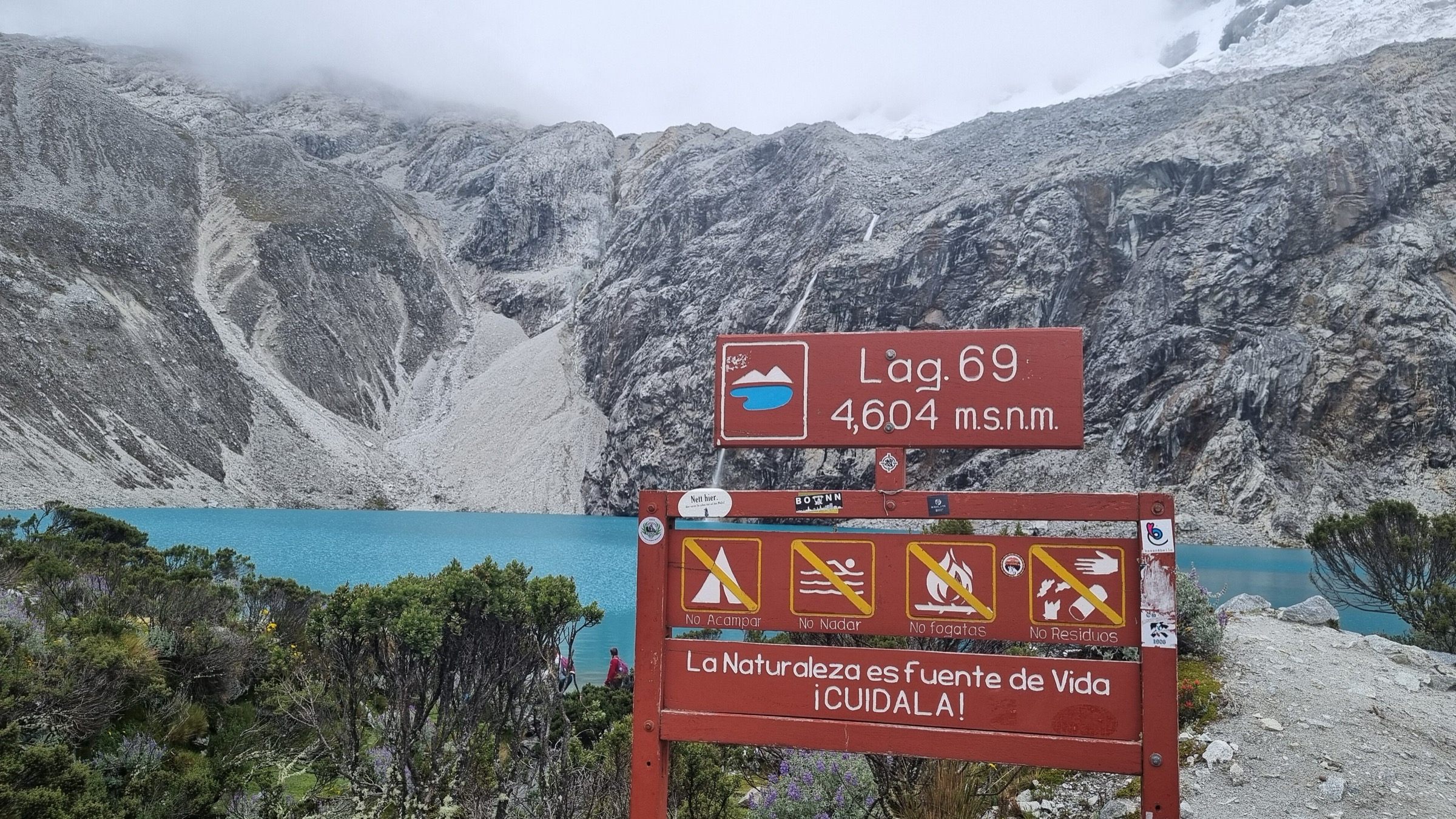
1. Laguna Wilcacocha from Puente Santa Cruz
Snapshot
Itinerary
Climb from the Santa Cruz bridge through farms and villages to Laguna Wilcacocha, a small high lake and viewpoint across the Callejon de Huaylas to the Cordillera Blanca.
Why it is essential
It is the classic first acclimatization hike from Huaraz on the Cordillera Negra side.
Equipment
- Light mountain hiking kit
- Sun hat
- Water
- Trekking poles useful on descent
Hazards and notes
- Altitude and sun exposure.
- Dogs/livestock near villages.
- Route-finding among local paths.
GPX / KML links
| Source | URL | Format / access | Reuse status |
|---|---|---|---|
| AllTrails: Wilcacocha Lake | alltrails.com | Source map / route statistics; AllTrails terms apply | GPX reuse unresolved |
| Wikiloc: Laguna Wilcacocha, Huaraz, Peru | wikiloc.com | Source route; Wikiloc terms apply | GPX reuse unresolved |
External links
2. Punta Callan Cordillera Negra balcony descent
Snapshot
Itinerary
Drive from Huaraz up the Cordillera Negra switchbacks to Punta Callan, then walk downhill on local village tracks with broad views across the valley to the Cordillera Blanca.
Why it is essential
It is one of the cleanest panoramic “balcony” hikes in the Cordillera Negra and gives the best single wide-angle view of the Blanca wall.
Equipment
- Windproof/waterproof shell
- Warm layer
- Sun protection
- Water
Hazards and notes
- High-altitude exposure.
- Remote roads.
- Route-finding on village tracks; use a local driver/guide if unfamiliar.
GPX / KML links
| Source | URL | Format / access | Reuse status |
|---|---|---|---|
| Peruvian Andes Adventures: Cordillera Negra Hike | peruvianandes.com | Operator description; no GPX | Stats reference only |
| AllTrails: Huaraz - Callan Punta - Huaraz | alltrails.com | Longer loop route; AllTrails terms apply | Secondary route context; GPX reuse unresolved |
| Wikiloc: Punta Callan | wikiloc.com | Cycling route; useful for pass access geometry only | Terms/reuse unresolved |
External links
- Peruvian Andes Adventures — Cordillera Negra Hike
- AllTrails — Huaraz - Callan Punta - Huaraz
- Wikiloc — Punta Callan
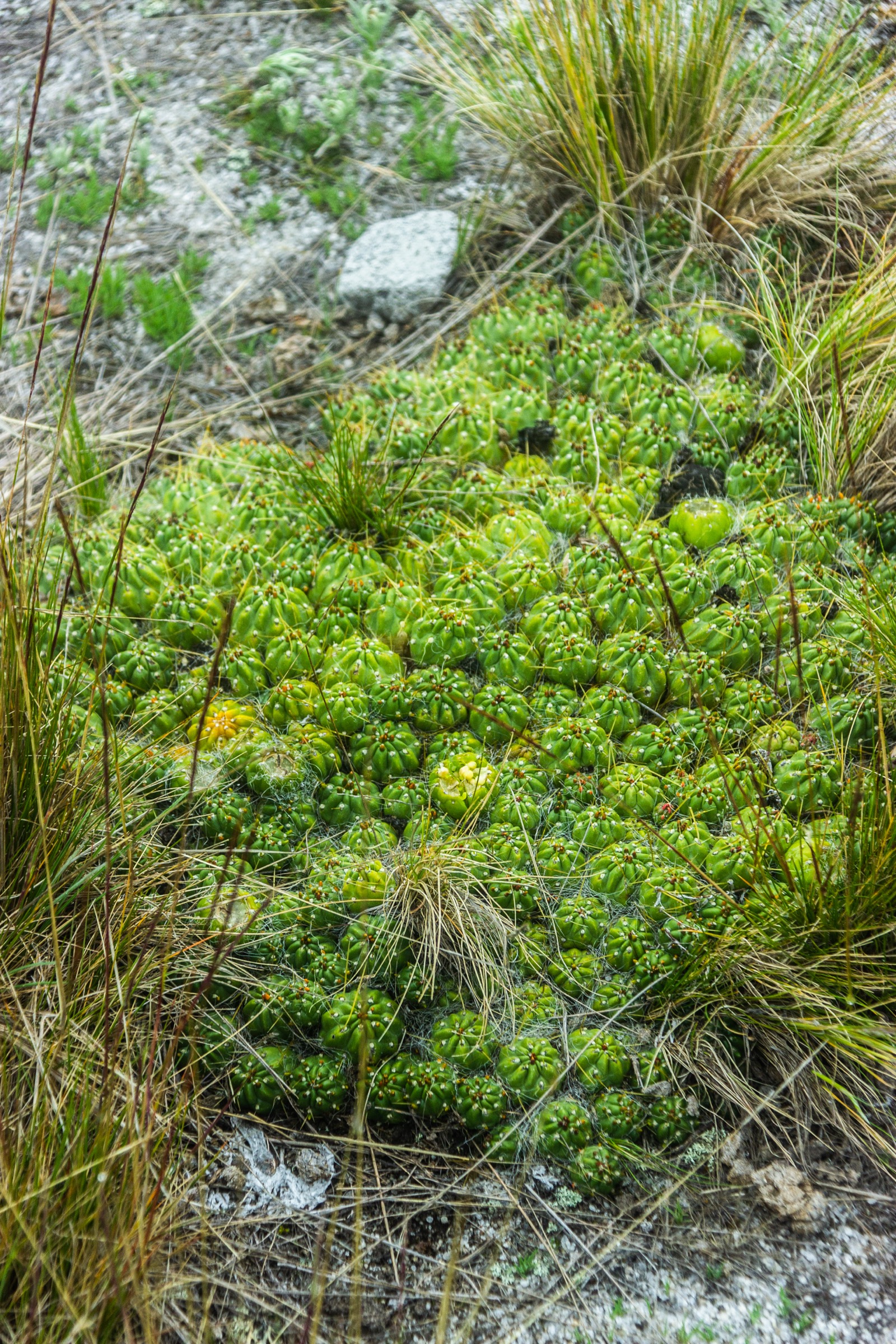
3. Hatun Machay stone forest circuit
Snapshot
Itinerary
Walk among the volcanic rock towers of Hatun Machay, visiting viewpoints, rock shelters, and archaeological/pictograph zones where access is permitted.
Why it is essential
It is the Cordillera Negra’s most distinctive stone-forest landscape and one of Peru’s best-known rock-climbing areas, but it also works as a short high-altitude hiking circuit.
Equipment
- Sturdy shoes
- Wind layer
- Sun protection
- Water
- Helmet only if entering climbing areas or moving below active climbers
Hazards and notes
- Rockfall below climbing sectors.
- Fragile archaeological features.
- Confusing rock corridors.
- Altitude.
GPX / KML links
| Source | URL | Format / access | Reuse status |
|---|---|---|---|
| Municipality of Pampas Chico: Visita Hatun Machay | gob.pe | Official site info | No GPX found |
| theCrag: Hatun Machay | thecrag.com | Climbing access source, not hiking GPX | Reuse unresolved |
External links
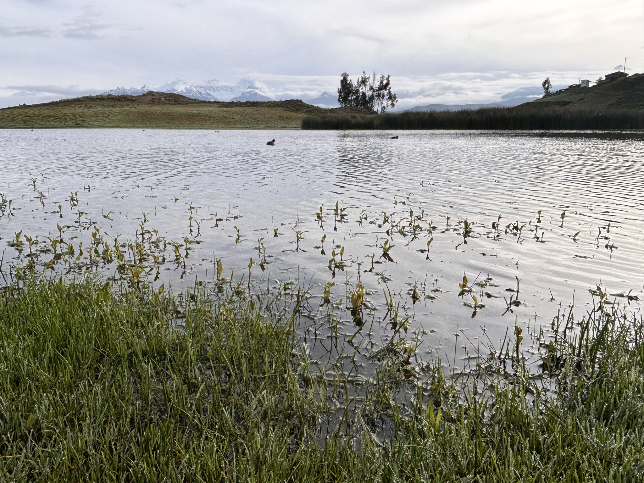
4. Antacocha lake and rock-wall viewpoint
Snapshot
Itinerary
Walk from the access road toward Laguna Antacocha and the granite wall above the lake. This is primarily a climbing destination, but the lake and wall make a short scenic hike.
Why it is essential
It represents the Cordillera Negra’s dry rock-and-lake landscape and its modern climbing culture.
Equipment
- Sturdy shoes
- Sun/wind protection
- Helmet if walking below active climbing sectors
Hazards and notes
- Rockfall below cliffs.
- Steep approach to climbing sectors.
- Remote road access.
- No formal hiking signage found.
GPX / KML links
| Source | URL | Format / access | Reuse status |
|---|---|---|---|
| Quechuandes: Antacocha | quechuandes.com | Climbing area source; no GPX | Location and lake/wall context |
| theCrag: Antacocha | thecrag.com | Access/source map for climbing sectors | Reuse unresolved |
External links
5. Rataquenua and Pukaventana Huaraz ridge walk
Snapshot
Itinerary
Climb from the edge of Huaraz through eucalyptus/rural slopes to the Rataquenua viewpoint and red Pukaventana rock/canyon area, then traverse or descend on local tracks back toward the city.
Why it is essential
It is the most accessible acclimatization ridge walk from Huaraz and gives immediate views of the Cordillera Blanca and the dry western rim.
Equipment
- Trail shoes
- Sun protection
- Water
- Wind/rain layer
Hazards and notes
- Confusing local tracks.
- Urban-edge security considerations.
- Dogs.
- Sun exposure.
GPX / KML links
| Source | URL | Format / access | Reuse status |
|---|---|---|---|
| AllTrails: Rataquena Viewpoint - Canyon of Pukaventana | alltrails.com | Source map / route statistics; AllTrails terms apply | GPX reuse unresolved |
| Wikiloc: Carretera Rataquenua - Pukaventana Huaraz | wikiloc.com | Source route; Wikiloc terms apply | GPX reuse unresolved |
| Peruvian Andes Adventures: Huaraz Ridges & Pukaventana | peruvianandes.com | Operator description; no GPX | Stats reference only |
External links
- AllTrails — Rataquena Viewpoint - Canyon of Pukaventana
- Wikiloc — Carretera Rataquenua - Pukaventana Huaraz
- Peruvian Andes Adventures — Huaraz Ridges & Pukaventana
External links
| Source | URL |
|---|---|
| Quechuandes — Cordillera Negra overview | quechuandes.com |
| Huaraz Peru — Cordillera Negra overview | huarazperu.net |
| Municipality of Pampas Chico — Visita Hatun Machay | gob.pe |
| AllTrails — Wilcacocha Lake | alltrails.com |
| AllTrails — Huaraz - Callan Punta - Huaraz | alltrails.com |
| AllTrails — Rataquena Viewpoint - Canyon of Pukaventana | alltrails.com |
| Wikiloc — Laguna Wilcacocha, Huaraz, Peru | wikiloc.com |
| Wikiloc — Punta Callan | wikiloc.com |
| Wikiloc — Carretera Rataquenua - Pukaventana Huaraz | wikiloc.com |
| Peruvian Andes Adventures — Cordillera Negra Hike | peruvianandes.com |
| Peruvian Andes Adventures — Huaraz Ridges & Pukaventana | peruvianandes.com |
| Quechuandes — Antacocha | quechuandes.com |
| theCrag — Hatun Machay | thecrag.com |
| theCrag — Antacocha | thecrag.com |