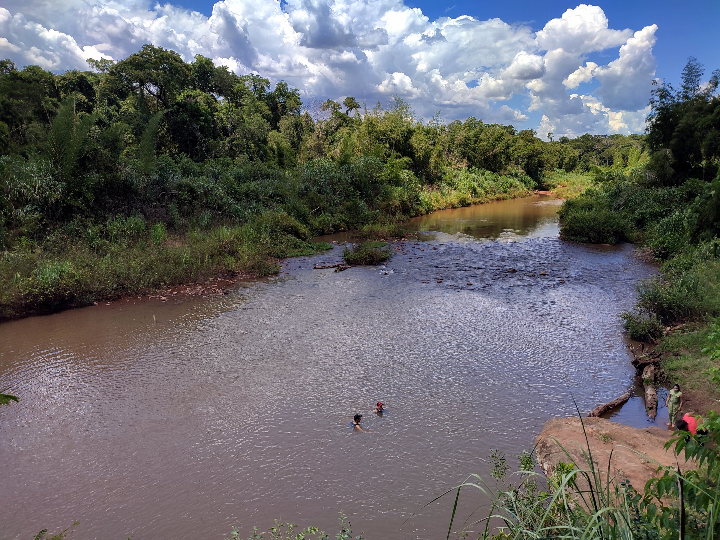
Regional overview
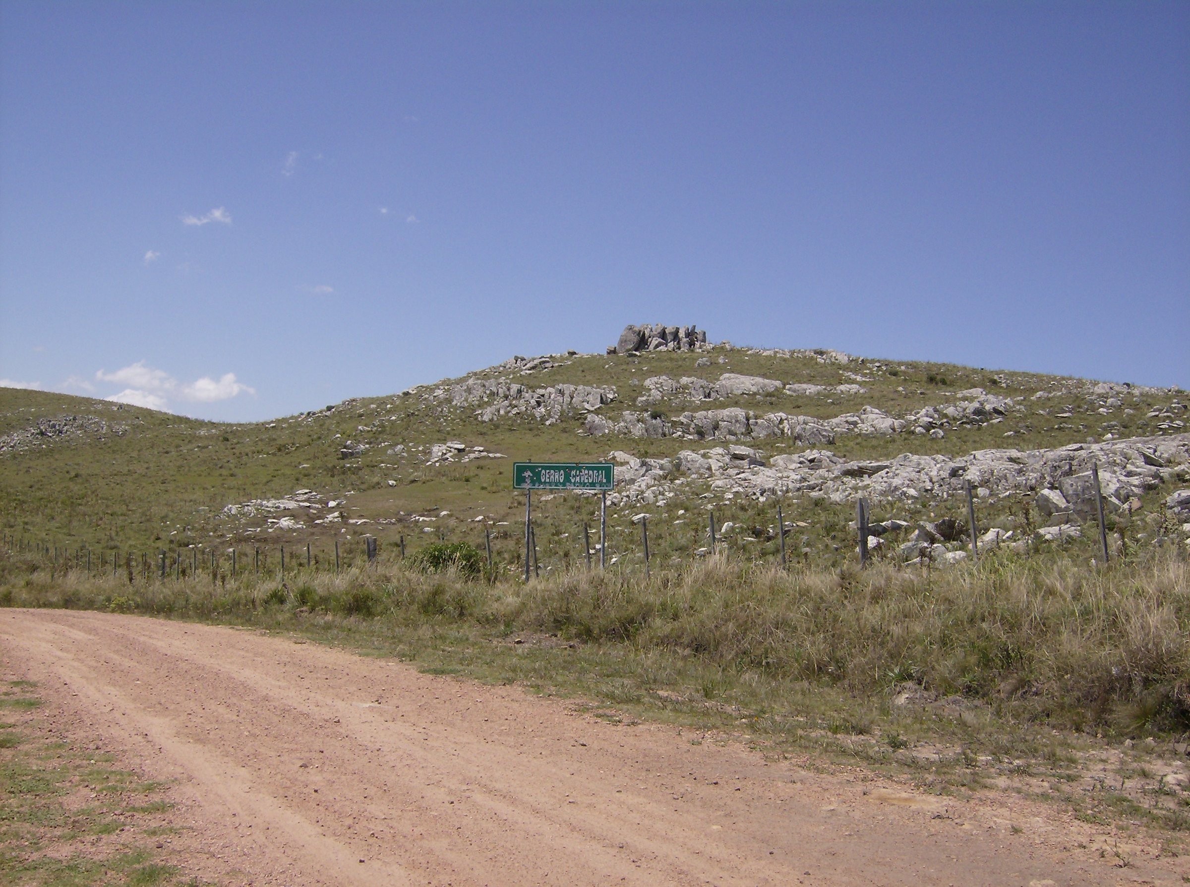
The Cordillera de los Altos is a low, old hill system across Cordillera, Central, and Paraguarí, with short but hot, rocky day walks, religious hill paths, sandstone/geology sites, and private eco-adventure reserves. Public route-file coverage is weak; the best official confirmations are SENATUR/Visit Paraguay pages and local municipal/tourism sources.
Selection rationale
The five hikes cover the Cordillera de los Altos’s essential walking themes: a viewpoint-rich rocky circuit at Cerro Kavajú above Caacupé, a private-reserve canopy and trail loop at Ecoreserva Mbatoví, the classic beginner viewpoint walk at Cerro Hú, the protected sandstone outcrops at Cerros Koi y Chororí, and the culturally central pilgrimage path on Cerro Yaguarón.
Summary table
| # | Hike | Country | Route type | Distance | Gain | Max elevation | Difficulty |
|---|---|---|---|---|---|---|---|
| 1 | Cerro Kavajú / Yvyty Kavajú circuit | Paraguay | Out-and-back / informal loop | Approx. 3 km | Moderate | ||
| 2 | Ecoreserva Mbatoví — Sendero Yvaropy / Tape Saingo | Paraguay | Guided eco-adventure circuit | 2.0 km official | Moderate; adventure elements | ||
| 3 | Cerro Hú / Cerro Jhu | Paraguay | Out-and-back / park walk | 2-4 km | 375 m | Easy-moderate | |
| 4 | Monumento Natural Cerros Koi y Chororí | Paraguay | Short geology walk | 1-3 km approx. | Minor | Easy | |
| 5 | Cerro Yaguarón pilgrimage path | Paraguay | Out-and-back religious hill path | 1-3 km approx. | Over 300 m | Easy-moderate |
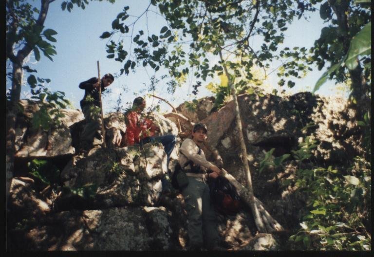
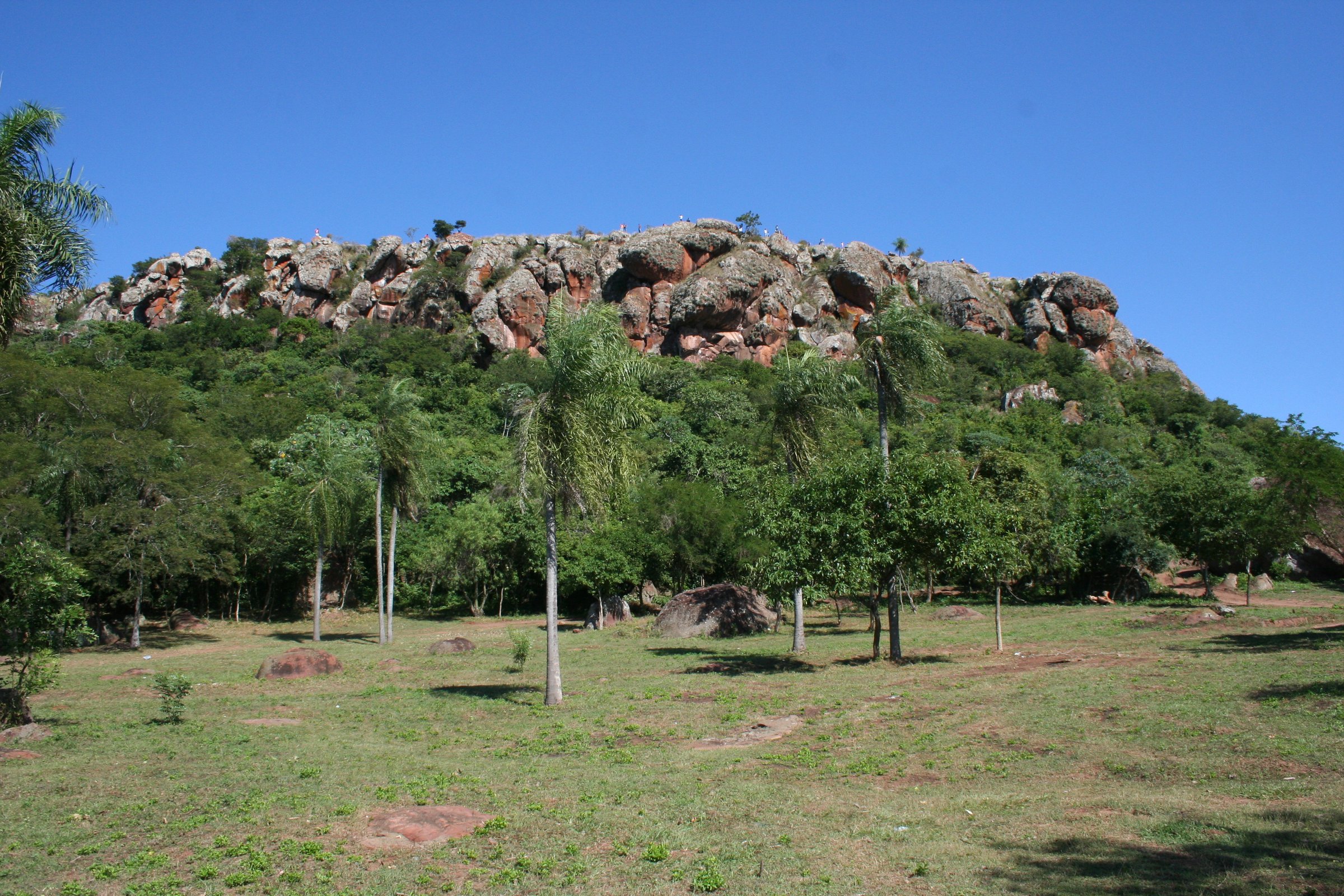
1. Cerro Kavajú / Yvyty Kavajú circuit
Snapshot
Itinerary
A rocky ascent through five terraces/viewpoints, the Cueva del Monai, natural stone slabs, and a rock “slide” section. Local reporting describes about 3 km of walking and about 2.5 hours for the full slow circuit.
Why it is essential
A distinctive Cordillera de los Altos landmark above Paraguay’s “spiritual capital”, with War of the Triple Alliance lookout associations.
Equipment
- Grippy shoes
- Sun protection
- Water
Hazards and notes
- Avoid wet rock and afternoon heat.
- Use local guidance for cave/rock sections.
GPX / KML links
| Source | URL | Format / access | Reuse status |
|---|---|---|---|
| La Nación: Cerro Kavajú article | lanacion.com.py | Source page | Site terms apply; no route file verified |
External links
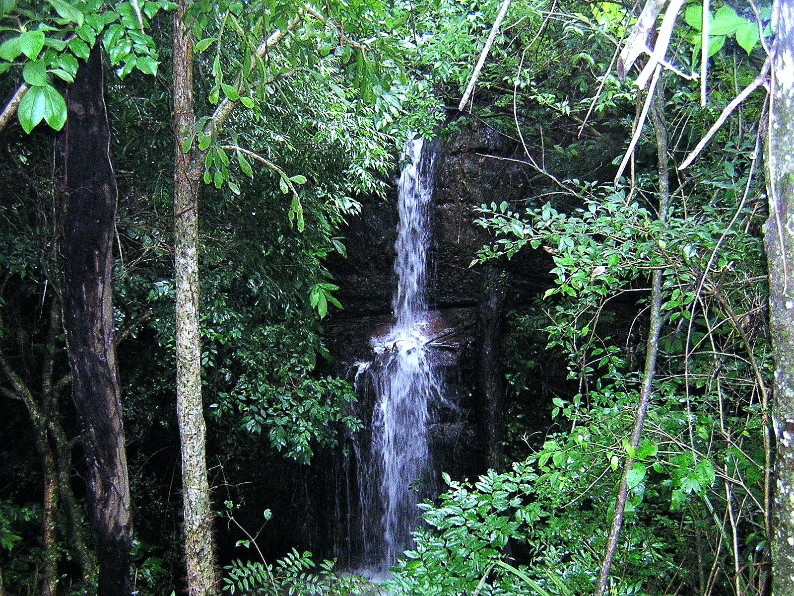
2. Ecoreserva Mbatoví — Sendero Yvaropy / Tape Saingo
Snapshot
Itinerary
The route follows the 2,000 m Sendero Yvaropy and the Tape Saingo canopy/adventure circuit with forest paths, streams, four hanging bridges, zip lines, and a rappel descent.
Why it is essential
One of the best-known protected private reserves in the Cordillera de los Altos and a compact way to experience its forested escarpment terrain.
Equipment
- Closed shoes
- Reserve-provided safety gear for canopy/rappel
Hazards and notes
- Avoid storms and high winds.
GPX / KML links
| Source | URL | Format / access | Reuse status |
|---|---|---|---|
| Visit Paraguay: Ecoreserva Mbatoví | visitparaguay.travel | Source page | Site terms apply; no downloadable route file verified |
| Ecoreserva Mbatoví official site | mbatovi.com.py | Source page | Site terms apply; no downloadable route file verified |
External links
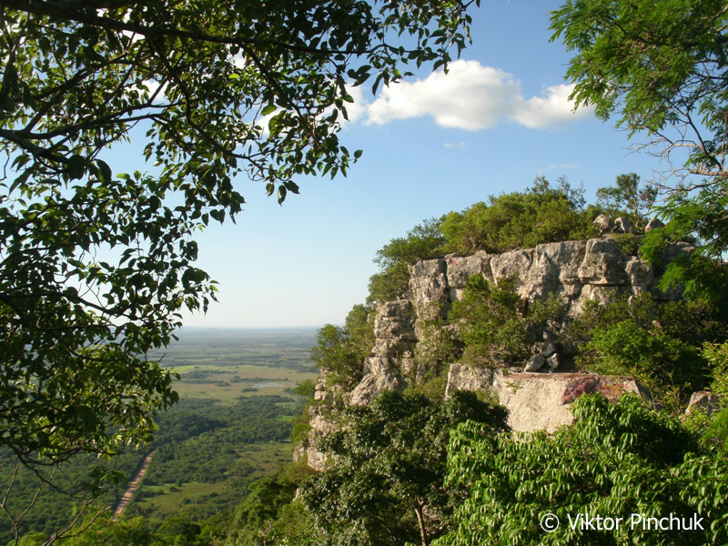
3. Cerro Hú / Cerro Jhu
Snapshot
Itinerary
Walk the park’s roughly 2 km caminero and continue on local footpaths toward Cerro Hú viewpoints where open views look across Paraguarí and the adjoining hill corridor.
Why it is essential
A signature Paraguarí hill, accessible and widely recognised as one of the area’s classic beginner hikes.
Equipment
- Sun/heat protection
- Water
- Shoes with grip
Hazards and notes
- Exposed sections can be very hot.
GPX / KML links
| Source | URL | Format / access | Reuse status |
|---|---|---|---|
| Wikiloc: Cerro Hú, Paraguarí | es.wikiloc.com | Recorded track | Terms not checked; reuse of recorded track unresolved; attribution likely required |
| Visit Paraguay: Cerro Hú | visitparaguay.travel | Source page | Site terms apply; no GPX found |
External links
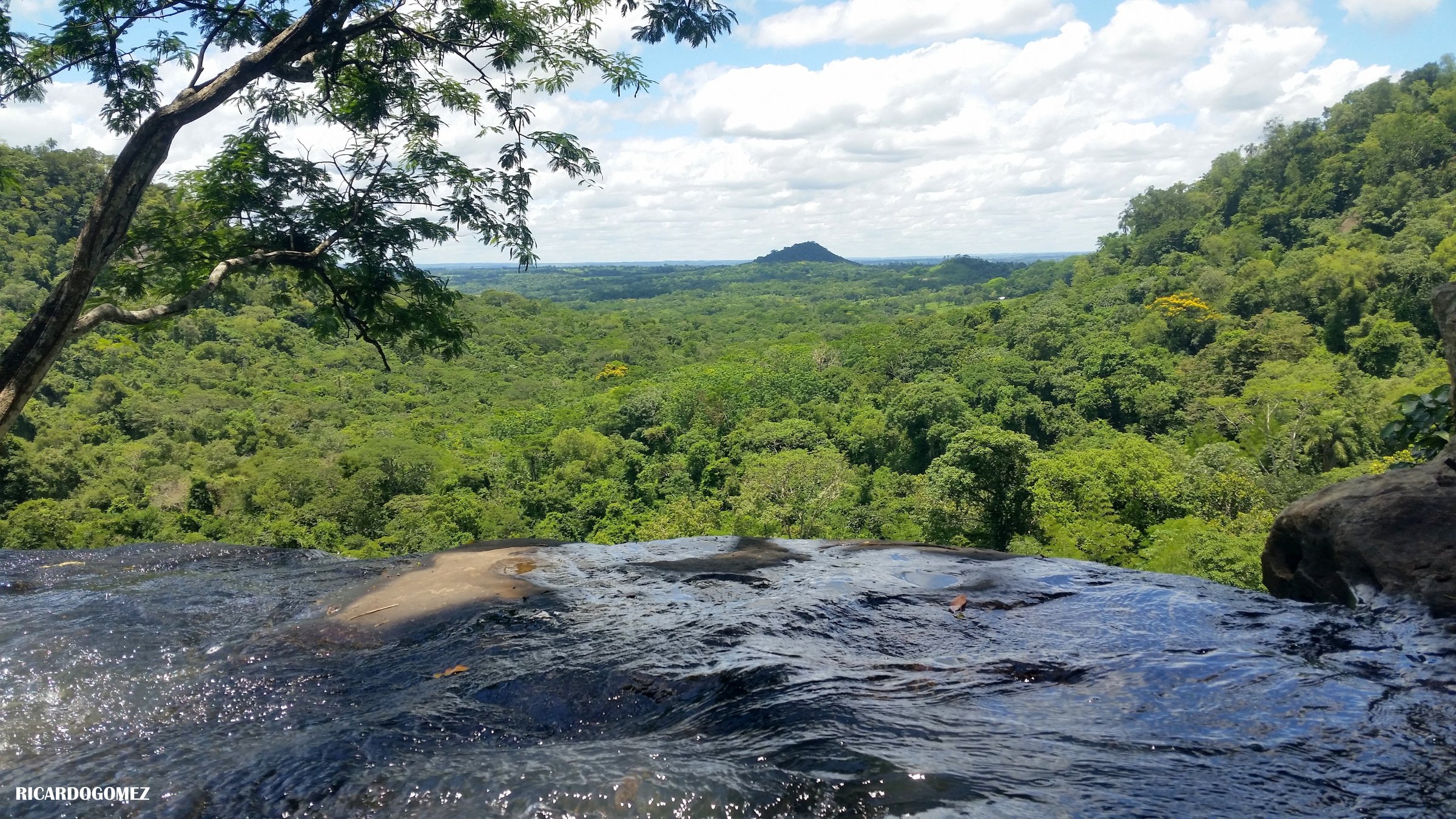
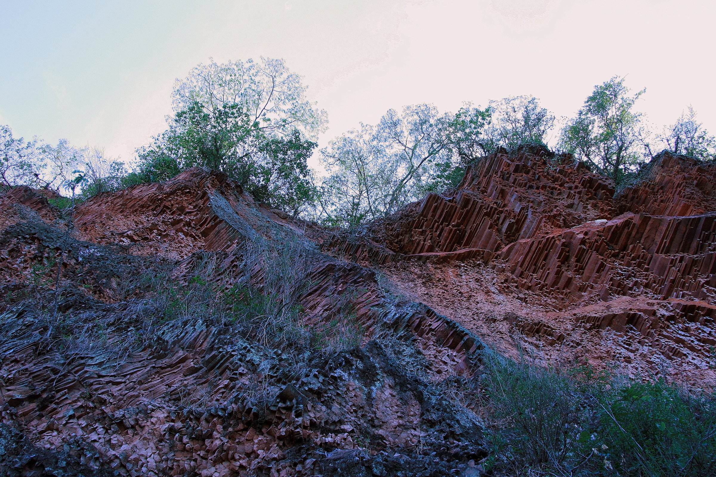
4. Monumento Natural Cerros Koi y Chororí
Snapshot
Itinerary
Walk the protected sandstone outcrops and viewpoints of Cerro Koi and, access permitting, nearby Cerro Chororí, focusing on the columnar sandstone formations.
Why it is essential
The region’s most distinctive geological walk; the site is protected as a natural monument and is highlighted by SENATUR for hiking and photography.
Equipment
- Good shoes
- Sun protection
Hazards and notes
- Avoid climbing fragile/closed rock features.
GPX / KML links
| Source | URL | Format / access | Reuse status |
|---|---|---|---|
| Visit Paraguay: Cerros Koi y Chororí | visitparaguay.travel | Source page | Site terms apply; no route file verified |
| Wikimedia Commons: Cerro Koi category | commons.wikimedia.org | Coordinates / category | Image/file licences vary; no route file verified |
External links
5. Cerro Yaguarón pilgrimage path
Snapshot
Itinerary
Follow the established ascent past biblical-niche stations to the summit oratory and cross, with views over the serranías around Paraguarí.
Why it is essential
The most culturally important hill walk in the area, combining Franciscan/indigenous heritage, Semana Santa pilgrimage, and sunrise views.
Equipment
- Water
- Sun protection
Hazards and notes
- Care on stone steps.
- High visitor numbers during Holy Week.
GPX / KML links
| Source | URL | Format / access | Reuse status |
|---|---|---|---|
| Wikiloc: Yaguarón hiking routes | es.wikiloc.com | Recorded-track index | Terms/reuse unresolved |
| Visit Paraguay: Cerro Yaguarón | visitparaguay.travel | Source page | Site terms apply; no GPX found |
External links
Missing data / follow-up work
- No official GPX/KML files were found for these Cordillera de los Altos walks in this pass.
- Cerro Kavajú elevation gain, maximum elevation, and licence-compatible photography are unresolved.
- Cerro Hú summit route details need local confirmation beyond the park’s caminero.
- Cerros Koi y Chororí route statistics and Cerro Chororí access remain approximate.
- Cerro Yaguarón route stats (distance, gain) are unresolved beyond the official place-level data.
External links
| Source | URL |
|---|---|
| Visit Paraguay — Ecoreserva Mbatoví | visitparaguay.travel |
| Ecoreserva Mbatoví official site | mbatovi.com.py |
| Visit Paraguay — Cerro Hú | visitparaguay.travel |
| Visit Paraguay — Monumento Natural Cerros Koi y Chororí | visitparaguay.travel |
| Visit Paraguay — Cerro Yaguarón | visitparaguay.travel |
| La Nación — Cerro Kavajú | lanacion.com.py |
| Wikiloc — Cerro Hú, Paraguarí | es.wikiloc.com |
| Wikiloc — Yaguarón hiking routes | es.wikiloc.com |