


Regional overview
The New Guinea Highlands are vast, wet, culturally complex and logistically difficult compared with most global mountain day-hike regions. The practical day-hike evidence is uneven: Indonesian Baliem Valley routes are better represented in trail databases, while many Papua New Guinea highland walks rely on local guides, lodge arrangements and non-downloadable route knowledge.
This combined entry therefore uses a mixed verification standard. Mount Wilhelm represents Papua New Guinea’s highest mountain, but the summit objective is normally an overnight or staged ascent; only the summit-day section from the lake huts is a day hike. Gahavisuka is included as a source-poor but representative Goroka-area forest-walk candidate. The remaining three routes use sourceable day walks from the Indonesian highlands around Wamena and Paniai.
Selection rationale
The five hikes were selected to represent both countries without inventing formal trail infrastructure: one PNG high summit, one PNG highland forest park candidate, two Baliem Valley cultural/scenic walks and one Indonesian highland lake route. Puncak Jaya, Carstensz Pyramid, Mount Trikora, the Kokoda Track and other multi-day/technical routes were excluded.
Summary table
| # | Hike | Country | Route type | Distance | Gain | Max elevation | Difficulty |
|---|---|---|---|---|---|---|---|
| 1 | Mount Wilhelm summit day from Lake Piunde/Aunde huts | Papua New Guinea | High out-and-back stage | Unresolved; summit day often 9-24 h return from lakes | Unresolved | 4,509 m | Very hard / alpine |
| 2 | Gahavisuka / Goroka highland forest walk candidate | Papua New Guinea | Local forest walk candidate | Unresolved | Unresolved | ca. 1,600-1,900 m area | Moderate; unresolved |
| 3 | Wamena White Sand Dunes | Indonesia | Loop | 5.3 km | 331 m | 1,838 m | Moderate |
| 4 | Jiwika Mummy and Salt Spring | Indonesia | Out-and-back | 4.5 km | 318 m | 2,002 m | Moderate |
| 5 | Tage Lake | Indonesia | Out-and-back | 6.1 km | 185 m | 1,902 m | Moderate |
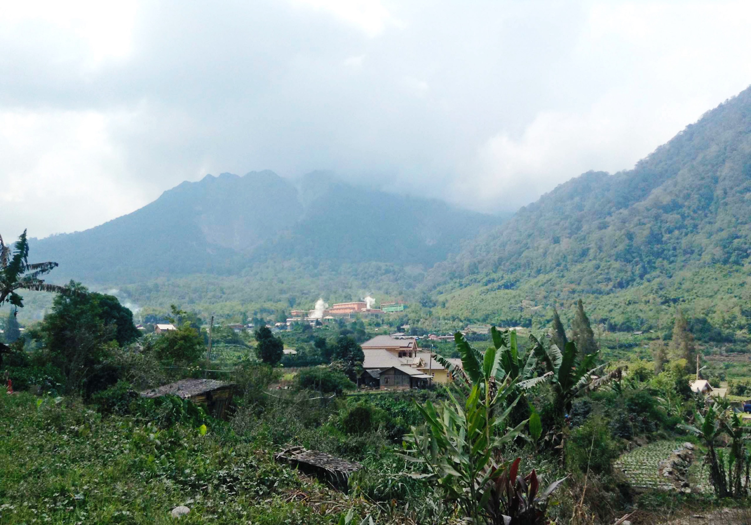
1. Mount Wilhelm Summit Day from Lake Piunde / Aunde Huts

Snapshot
Itinerary
For a day-hike catalogue, only the summit stage from the lake huts is considered. Parties normally reach the lakes separately, start the summit climb in the dark for dawn, climb alpine grass, rock and exposed upper terrain to Mount Wilhelm, then descend to the huts or continue out if conditions and timing allow.
Why it is essential
Mount Wilhelm is Papua New Guinea’s highest mountain and the best-known high summit objective in the PNG Highlands. It is essential to the region, but it only fits the day-hike brief as a staged summit day, not as a start-to-finish day from the road.
Equipment
Guided high-mountain kit: warm layers, waterproofs, gloves/hat, headtorch plus spare light, emergency shelter, food, water treatment, offline GPS/map and first-aid kit.
Hazards and notes
Altitude, cold, darkness, wet rock, route-finding, falls and remote rescue limitations are serious. This should be marked as a candidate until a current local guide/park source verifies exact route statistics and access rules.
GPX / KML links
| Source | URL | Format / access | Reuse status |
|---|---|---|---|
| OpenStreetMap search | openstreetmap.org | Map/search | OSM data is ODbL; geometry cross-check target; no route relation selected |
| Mt Wilhelm Research and Conservation Area | ngbinatang.com | Context/source page | Site terms not verified; route file not found |
External links
2. Gahavisuka / Goroka Highland Forest Walk Candidate
Snapshot
Itinerary
This is a placeholder candidate for a Goroka-area highland forest walk, intended to represent accessible PNG highland forest rather than a major expedition summit. Exact trailhead, route line and statistics were not verified in this pass.
Why it is essential
The PNG Highlands are not only high summits. A Goroka-area forest walk would give the entry an accessible highland ecology and birdlife component, but it needs local verification before guidebook publication.
Equipment
Hiking shoes, rain layer, water, insect protection, offline map/GPS and local guide.
Hazards and notes
Do not publish as a final mapped route until a current local operator, park authority or GPS track confirms the trail. Local access, safety and landowner permissions are essential.
GPX / KML links
| Source | URL | Format / access | Reuse status |
|---|---|---|---|
| OpenStreetMap search | openstreetmap.org | Map/search | OSM data is ODbL; geometry cross-check target; route not selected |
External links
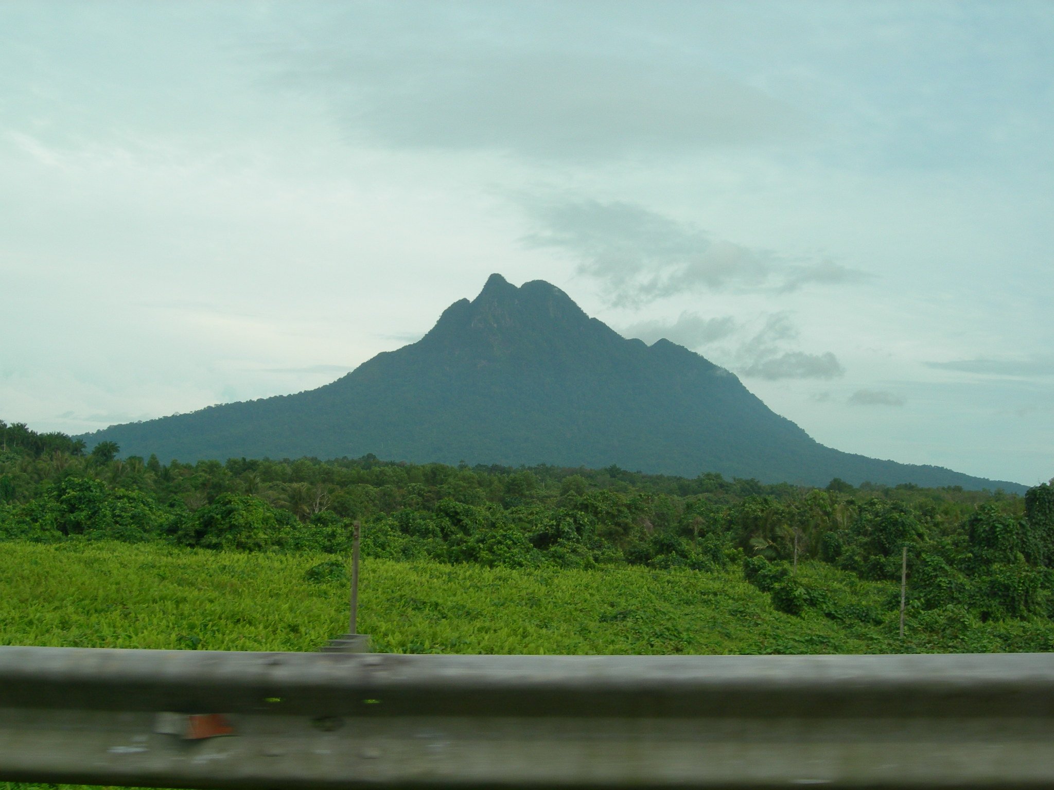
3. Wamena White Sand Dunes

Snapshot
Itinerary
The loop reaches the unusual white-sand hill viewpoint near Wamena, with valley, grassland and mountain views before returning to the start.
Why it is essential
It is one of the clearer sourceable short viewpoint walks in the Baliem Valley and represents the accessible day-hiking side of the Indonesian highlands.
Equipment
Hiking shoes, rain layer, sun protection, water, snacks and offline map/GPS.
Hazards and notes
Route infrastructure should not be assumed. Confirm access, community permissions, security conditions and local guide requirements.
GPX / KML links
| Source | URL | Format / access | Reuse status |
|---|---|---|---|
| AllTrails — Wamena White Sand Dunes | alltrails.com | Source route page / app map | AllTrails terms apply; route-file reuse not confirmed |
| OpenStreetMap search | openstreetmap.org | Map/search | OSM data is ODbL; geometry cross-check target |
External links
4. Jiwika Mummy and Salt Spring

Snapshot
Itinerary
The route visits Jiwika-area cultural sites and continues toward a salt spring, combining highland village paths, views and a natural salt-source site.
Why it is essential
It combines landscape and cultural context in a sourceable Baliem Valley day walk, giving the region more depth than a viewpoint-only selection.
Equipment
Hiking shoes, rain layer, water, sun protection, local guide and cash for local fees where applicable.
Hazards and notes
Do not photograph people, mummies or cultural sites without explicit permission. Local permissions, security and access can change.
GPX / KML links
| Source | URL | Format / access | Reuse status |
|---|---|---|---|
| AllTrails — Jiwika Mummy and Salt Spring | alltrails.com | Source route page / app map | AllTrails terms apply; route-file reuse not confirmed |
| OpenStreetMap search | openstreetmap.org | Map/search | OSM data is ODbL; geometry cross-check target |
External links
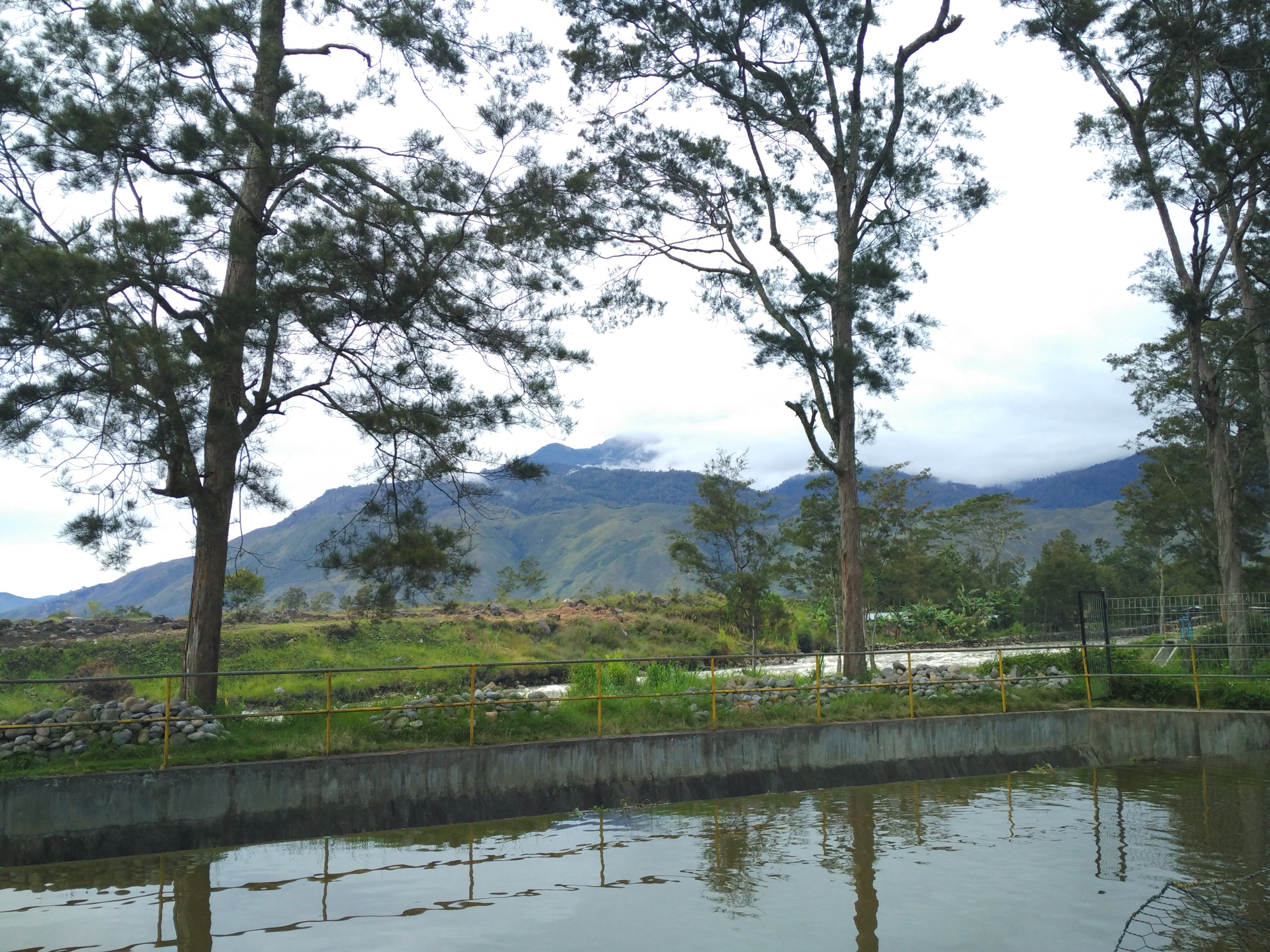
5. Tage Lake
Snapshot
Itinerary
The source route makes an out-and-back walk to Tage Lake in the highlands, with low-to-moderate ascent and lake scenery.
Why it is essential
Tage Lake adds a highland lake objective to a set otherwise focused on summits, forest and Baliem Valley cultural/scenic walks.
Equipment
Hiking shoes, rain layer, water, sun protection and offline map/GPS.
Hazards and notes
Current local access, road conditions and permissions need confirmation. Exact open-licence photography was not verified.
GPX / KML links
| Source | URL | Format / access | Reuse status |
|---|---|---|---|
| AllTrails — Tage Lake | alltrails.com | Source route page / app map | AllTrails terms apply; route-file reuse not confirmed |
| OpenStreetMap search | openstreetmap.org | Map/search | OSM data is ODbL; geometry cross-check target |
External links
Missing data / follow-up work
- PNG-side route statistics and source route files remain the largest gap. Mount Wilhelm and Gahavisuka need current local guide/operator or authority confirmation.
- Gahavisuka should be replaced if a better sourceable PNG Highlands day walk is identified.
- Indonesian routes rely heavily on AllTrails and need local permission/access confirmation before publication.
- Tage Lake lacks an exact licence-compatible image candidate.
External links
| Source | URL |
|---|---|
| Mount Wilhelm — Wikipedia | en.wikipedia.org |
| Mt Wilhelm Research and Conservation Area | ngbinatang.com |
| Goroka — Wikipedia | en.wikipedia.org |
| Tourism in Papua New Guinea — Wikipedia | en.wikipedia.org |
| Indonesia Travel — Baliem Valley | indonesia.travel |
| AllTrails — Wamena White Sand Dunes | alltrails.com |
| AllTrails — Jiwika Mummy and Salt Spring | alltrails.com |
| AllTrails — Tage Lake | alltrails.com |