Regional overview
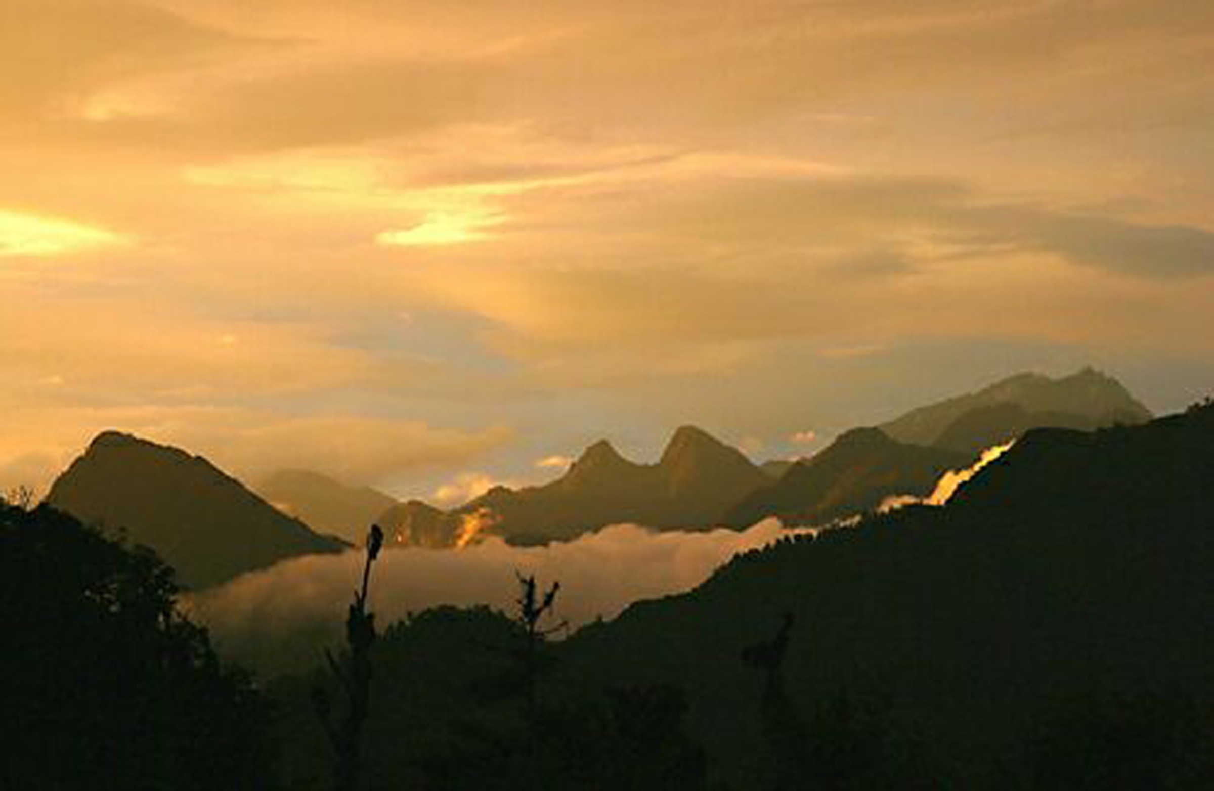
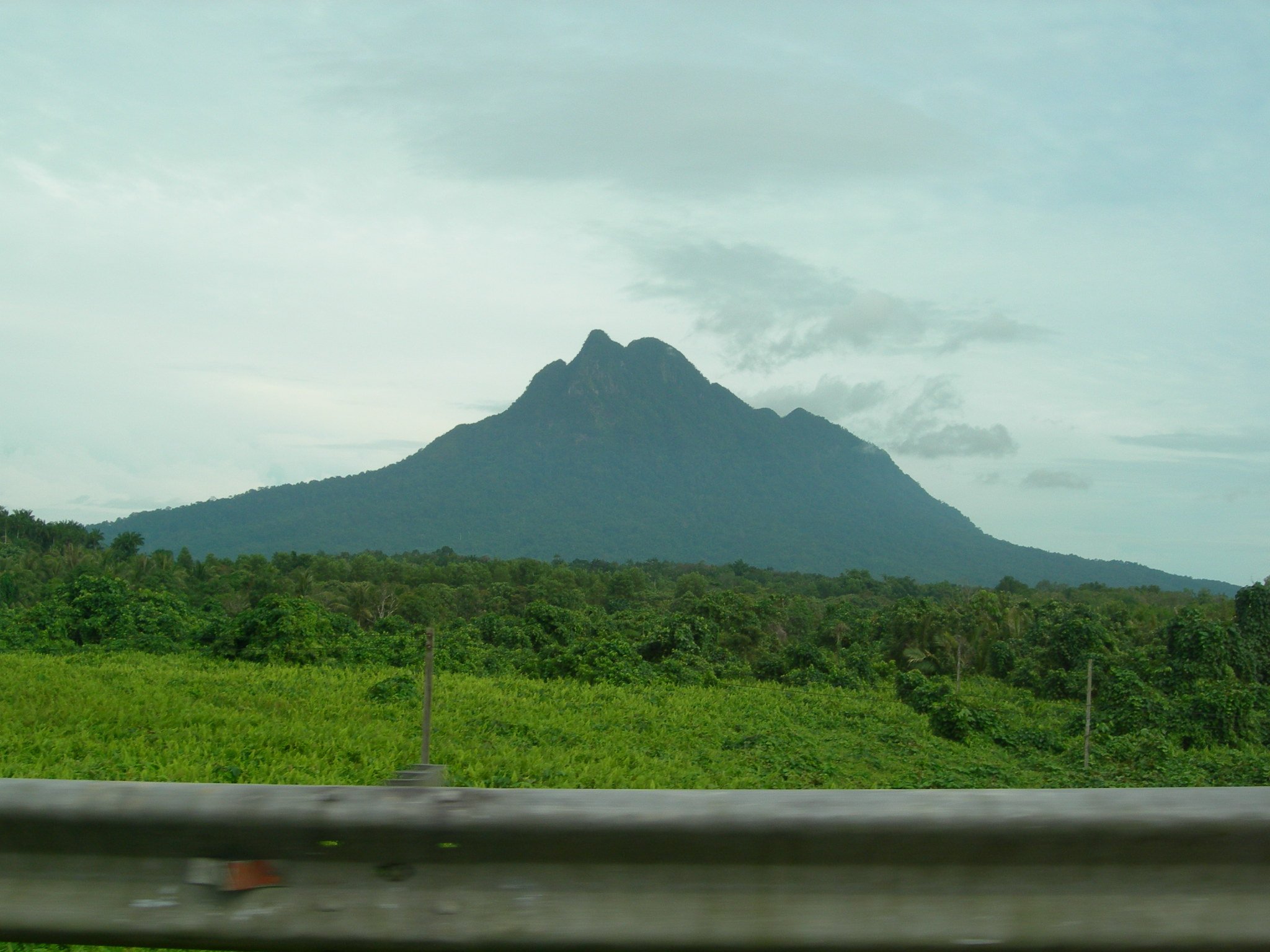
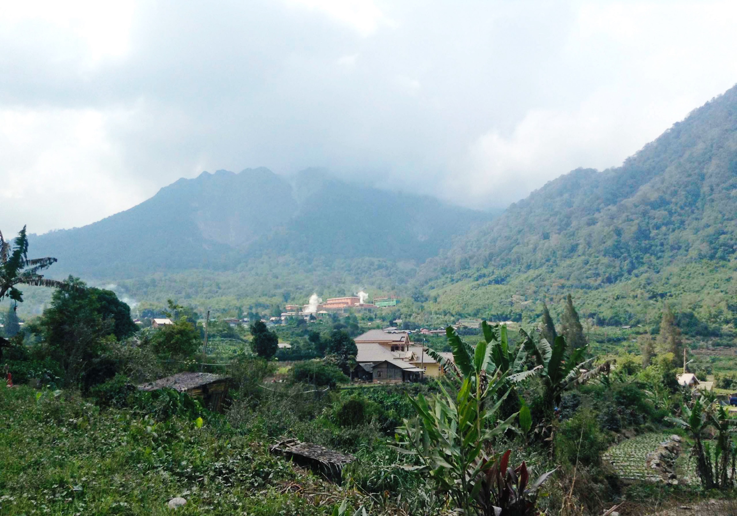
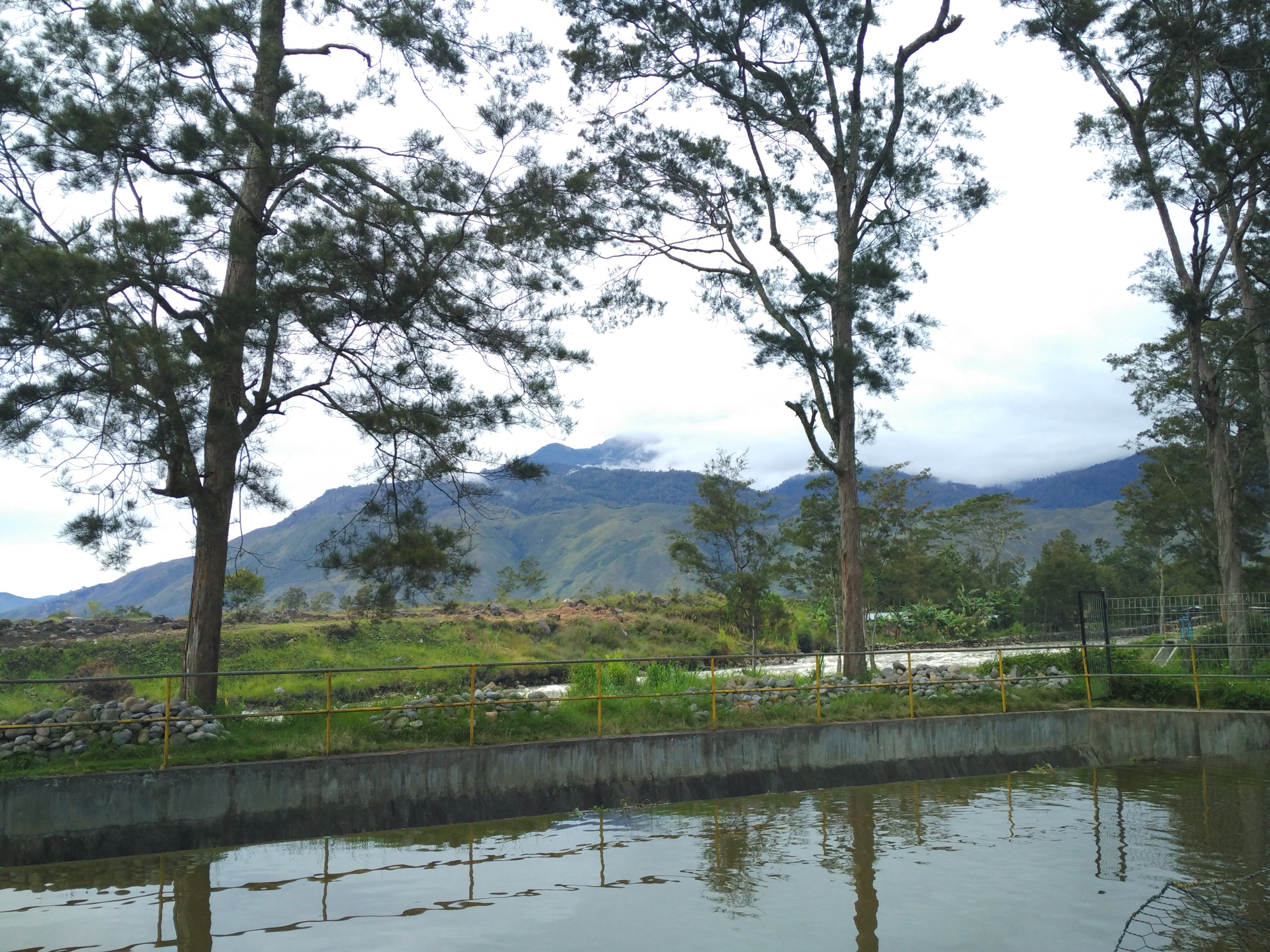
Indonesia’s Maoke and New Guinea Highlands are very different from the more tourist-developed volcanic ranges of western Indonesia. The practical day-hiking centre for this catalogue entry is the Wamena / Baliem Valley highland basin, with one additional Paniai highland lake route and one Lorentz National Park lake-view candidate. Terrain includes cultivated highland valleys, limestone and river gorges, forested slopes, highland lakes, cultural village routes and alpine-edge landscapes near Lake Habema.
The region has limited formal trail infrastructure, limited public transport, and a security/access context that can change. High-profile objectives such as Puncak Jaya / Carstensz Pyramid and Mount Trikora are not treated as essential day hikes here because they are technical, expeditionary or logistically complex. The routes below are lower day-walk objectives where some route-source evidence exists.
Weather is humid, changeable and locally cool at altitude. Trails may be muddy, navigation can be unclear, and local permissions or guides are important, especially around cultural sites and protected areas. Do not treat this file as a standalone access authority; confirm local conditions in Wamena/Jayawijaya, Paniai and Lorentz National Park before travel.
Selection rationale
The five hikes were selected to represent the day-walk scale of the Indonesian New Guinea Highlands: Wamena valley viewpoints, Dani/Hubula cultural routes, a salt-spring walk, a highland lake route and a Lorentz alpine-lake candidate. Several better-known mountain objectives were excluded because they are not normal non-technical day hikes.
Summary table
| # | Hike | Country | Route type | Distance | Gain | Max elevation | Difficulty |
|---|---|---|---|---|---|---|---|
| 1 | Wamena White Sand Dunes | Indonesia | Loop | 5.3 km | 331 m | 1,838 m | Moderate |
| 2 | Jiwika Mummy and Salt Spring | Indonesia | Out-and-back | 4.5 km | 318 m | 2,002 m | Moderate |
| 3 | Aikima Village Mummy Trail | Indonesia | Out-and-back | 4.2 km | 70 m | 1,673 m | Easy |
| 4 | Lake Habema viewpoint walk | Indonesia | Out-and-back / short lakeside walk | Unresolved | Unresolved | ca. 3,200-3,300 m | Candidate only |
| 5 | Tage Lake | Indonesia | Out-and-back | 6.1 km | 185 m | 1,902 m | Moderate |
1. Wamena White Sand Dunes

Snapshot
Itinerary
The route makes a short loop from the Wamena area through green valley and hill terrain to the white-sand hill viewpoint. The unusual light-coloured sand hill contrasts with the surrounding grassland, cultivated valley and enclosing mountains before the loop returns to the start.
Why it is essential
One of the few short viewpoint walks close to Wamena, representing the accessible day-hiking side of the Baliem Valley rather than the expeditionary high mountains.
Equipment
Hiking shoes, rain layer, sun protection, water, snacks and map/GPS. A local guide or driver is recommended for access and permissions.
Hazards and notes
Route infrastructure and signage should not be assumed. Confirm local access, community permissions, security conditions and whether dogs are allowed; AllTrails flags dogs as not allowed. Mud, heat in sun and sudden rain are possible.
GPX / KML links
| Source | URL | Format / access | Reuse status |
|---|---|---|---|
| AllTrails — Wamena White Sand Dunes | alltrails.com | Recorded track | AllTrails terms apply; route-file reuse not confirmed |
| OpenStreetMap search | openstreetmap.org | Map/search | OSM data is ODbL; geometry cross-check target |
External links
2. Jiwika Mummy and Salt Spring

Snapshot
Itinerary
The route visits cultural sites around Jiwika and continues toward the salt spring. The walk combines village paths, highland views and a local salt-source site described in the route source as culturally important to Dani communities. Return is by the same route.
Why it is essential
A Baliem Valley day walk that combines landscape, cultural heritage and a natural salt spring rather than only a scenic viewpoint.
Equipment
Hiking shoes, rain layer, water, sun protection and map/GPS. Carry cash for local fees where applicable and use a local guide for cultural protocol.
Hazards and notes
Do not photograph people, mummies or cultural sites without explicit permission. Route stats are from a trail database only and need local confirmation. Access, fees and community rules can change.
GPX / KML links
| Source | URL | Format / access | Reuse status |
|---|---|---|---|
| AllTrails — Jiwika Mummy and Salt Spring | alltrails.com | Recorded track | AllTrails terms apply; route-file reuse not confirmed |
| OpenStreetMap search | openstreetmap.org | Map/search | OSM data is ODbL; geometry cross-check target |
External links
3. Aikima Village Mummy Trail

Snapshot
Itinerary
The trail follows a short Wamena-area out-and-back route to Aikima village and its recorded cultural site. The route is comparatively gentle and partly paved according to the source route, with river, valley and village views.
Why it is essential
An accessible cultural-valley walk close to Wamena that balances the selection with a low-difficulty route rather than only strenuous or remote objectives.
Equipment
Comfortable walking shoes, rain layer, water, sun protection and map/GPS. A local guide is recommended for cultural protocol and access.
Hazards and notes
Cultural permission, local fees, photography protocol and current access/security conditions are the primary issues. The route is sourceable but has very little user-review depth, so local confirmation remains important.
GPX / KML links
| Source | URL | Format / access | Reuse status |
|---|---|---|---|
| AllTrails — Aikima Village Mummy Trail | alltrails.com | Recorded track | AllTrails terms apply; route-file reuse not confirmed |
| OpenStreetMap search | openstreetmap.org | Map/search | OSM data is ODbL; geometry cross-check target |
External links
4. Lake Habema viewpoint walk

Snapshot
Itinerary
A publication-ready walking line was not verified in this pass. The candidate objective is a short lake-edge or viewpoint walk around Lake Habema, a high lake near the Trikora / Lorentz National Park landscape. Before publication, this needs a legal trailhead, access/permit confirmation, route length and a route-file source.
Why it is essential
Lake Habema is one of the most distinctive highland landscapes in Indonesian New Guinea, linking the Baliem headwaters, Lorentz National Park and the alpine-edge Maoke environment. It remains candidate-only because a day-hike line was not verified.
Equipment
Sturdy footwear, waterproof layer, warm layer, water, food, map/GPS, navigation backup and emergency plan. Local guide/permit arrangements should be treated as required until confirmed otherwise.
Hazards and notes
Altitude, cold rain, poor visibility, boggy ground, protected-area rules and security/access restrictions are the key concerns. Do not travel without current local advice.
GPX / KML links
| Source | URL | Format / access | Reuse status |
|---|---|---|---|
| OpenStreetMap search | openstreetmap.org | Map/search | OSM data is ODbL; candidate geometry search only |
| AllTrails search — Danau Habema | alltrails.com | Search page | AllTrails terms apply; no matching route selected |
External links
5. Tage Lake
Snapshot
Itinerary
The source route follows an out-and-back walk to and around the Tage Lake landscape in the Paniai highlands. The recorded features include lake views, flowers and open highland scenery. Return is by the same route.
Why it is essential
Tage Lake extends the selection beyond Wamena and represents the lake-and-highland character of the wider Indonesian New Guinea mountains at a day-walk scale.
Equipment
Hiking shoes, rain layer, water, food, sun protection and map/GPS. Local guide/driver arrangements are recommended.
Hazards and notes
Route data comes from a trail database with no review depth. Access, security conditions, land permissions and transport should be confirmed locally before treating this as publication-ready.
GPX / KML links
| Source | URL | Format / access | Reuse status |
|---|---|---|---|
| AllTrails — Tage Lake | alltrails.com | Recorded track | AllTrails terms apply; route-file reuse not confirmed |
| OpenStreetMap search | openstreetmap.org | Map/search | OSM data is ODbL; geometry cross-check target |
External links
Missing data / follow-up work
- No official GPX/KML files were found.
- Lake Habema remains candidate-only until a legal, mapped walking line and current access rules are verified.
- Local guide requirements, cultural-site fees, photography rules and protected-area permits need confirmation from current local sources.
- Security and road-access conditions in Highland Papua and Central Papua can change and must be checked close to departure.
- Tage Lake has route stats from AllTrails but no exact licence-compatible photo verified in this pass.
External links
| Source | URL |
|---|---|
| AllTrails — Wamena White Sand Dunes | alltrails.com |
| AllTrails — Jiwika Mummy and Salt Spring | alltrails.com |
| AllTrails — Aikima Village Mummy Trail | alltrails.com |
| AllTrails — Tage Lake | alltrails.com |
| Indonesia Travel — Baliem Valley | indonesia.travel |
| OpenStreetMap — Danau Habema search | openstreetmap.org |