Regional overview
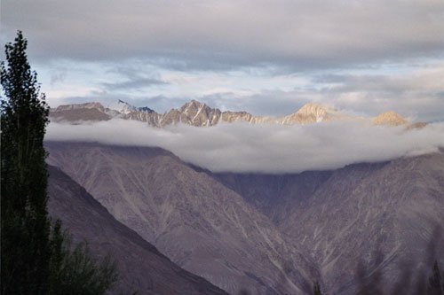
The Eastern Karakoram is a politically sensitive, high-altitude border region around the Nubra, Shyok, Saser, Rimo, Siachen, Saltoro, and Karakoram Pass landscapes. Civilian hiking access is highly uneven. The practical day-hiking surface is mostly on the Indian Ladakh side, especially Nubra and Shyok, while the Pakistan, China, Siachen Glacier, Karakoram Pass, Depsang, and many frontier sectors are restricted, military controlled, or not verifiable as legal public day hikes.
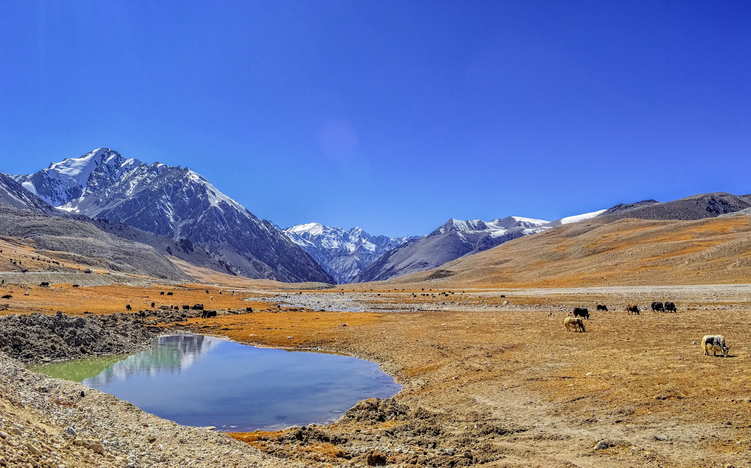
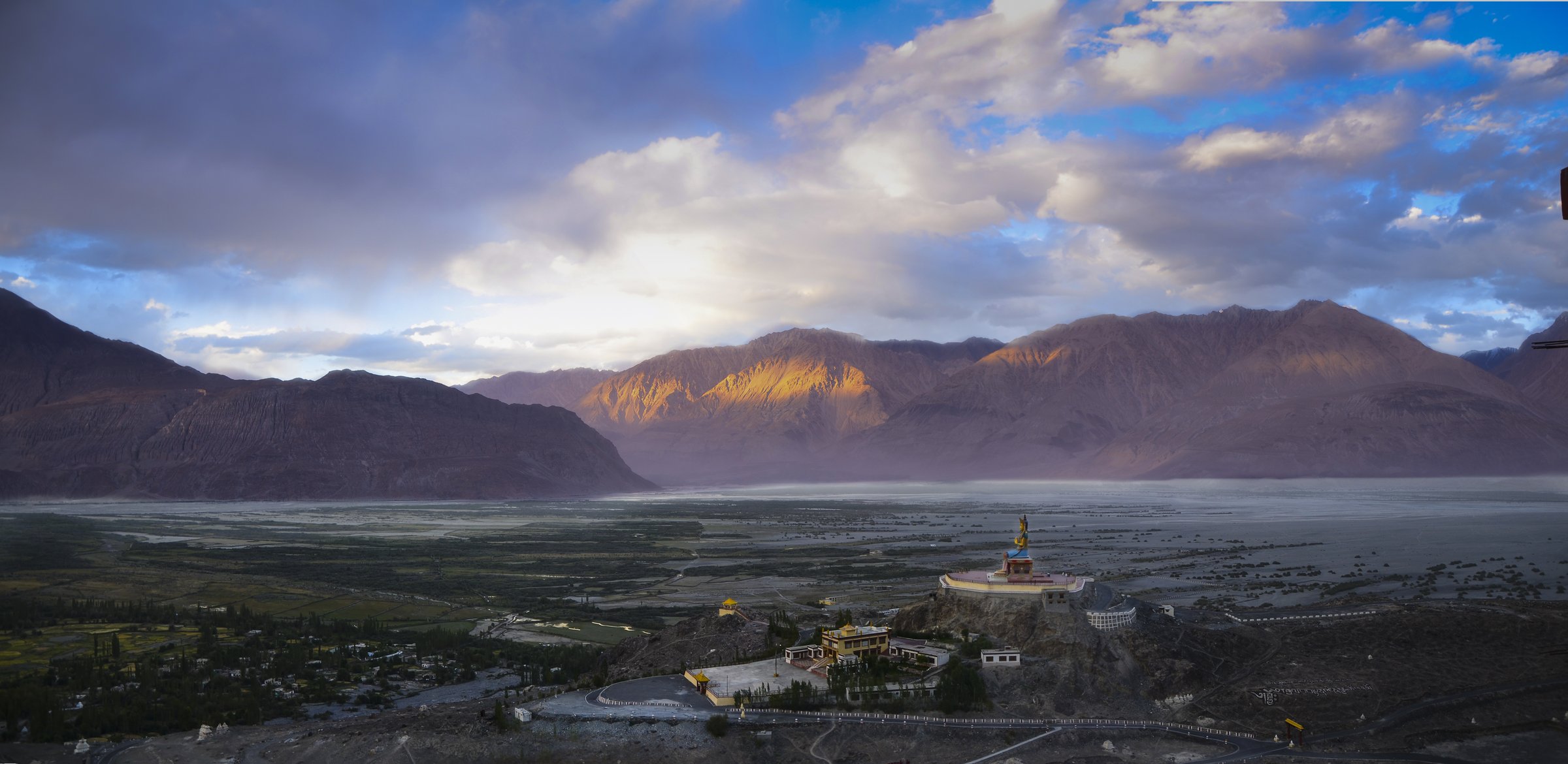
The accessible Nubra side lies between the Ladakh and Karakoram ranges and includes Diskit, Hunder, Sumur, Panamik, Ensa, Shyok, and the Karakoram (Nubra-Shyok) Wildlife Sanctuary. Walking ranges from monastery paths and sand-dune loops to short gompa climbs and hard, high, guide-dependent routes towards Saser terrain.
Altitude is a central issue even on short walks. Nubra villages are commonly around 3,000 m, while Saser-side routes can exceed 5,000 m. The normal season is May to October for valley walks and June to September for higher or remote routes. Inner Line Permit / Protected Area Permit rules, road closures, wildlife-sanctuary restrictions, and security controls must be checked before travel.
Selection rationale
The five hikes below prioritise legal, civilian-accessible day hikes on the Ladakh/Nubra side: Diskit Monastery, Yarab Tso, Ensa Gompa, Hunder sand dunes, and a hard Saser Pass approach from Shyok. This selection acknowledges that no reliable public day-hiking route data was found for the Pakistan or China sectors of the Eastern Karakoram.
Summary table
| # | Hike | Country | Route type | Distance | Gain | Max elevation | Difficulty |
|---|---|---|---|---|---|---|---|
| 1 | Photang to Diskit Monastery | India | Out-and-back | 4.3 km | 151 m | 3,348 m | Moderate |
| 2 | Yarab Tso from Sumur / Panamik Roadhead | India | Out-and-back | ca. 1–3 km from local roadhead | Minor–moderate | ca. 3,800–4,300 m depending source | Easy–moderate at altitude |
| 3 | Ensa Gompa Trail | India | Out-and-back | 1.9 km | 224 m | 3,429 m | Moderate |
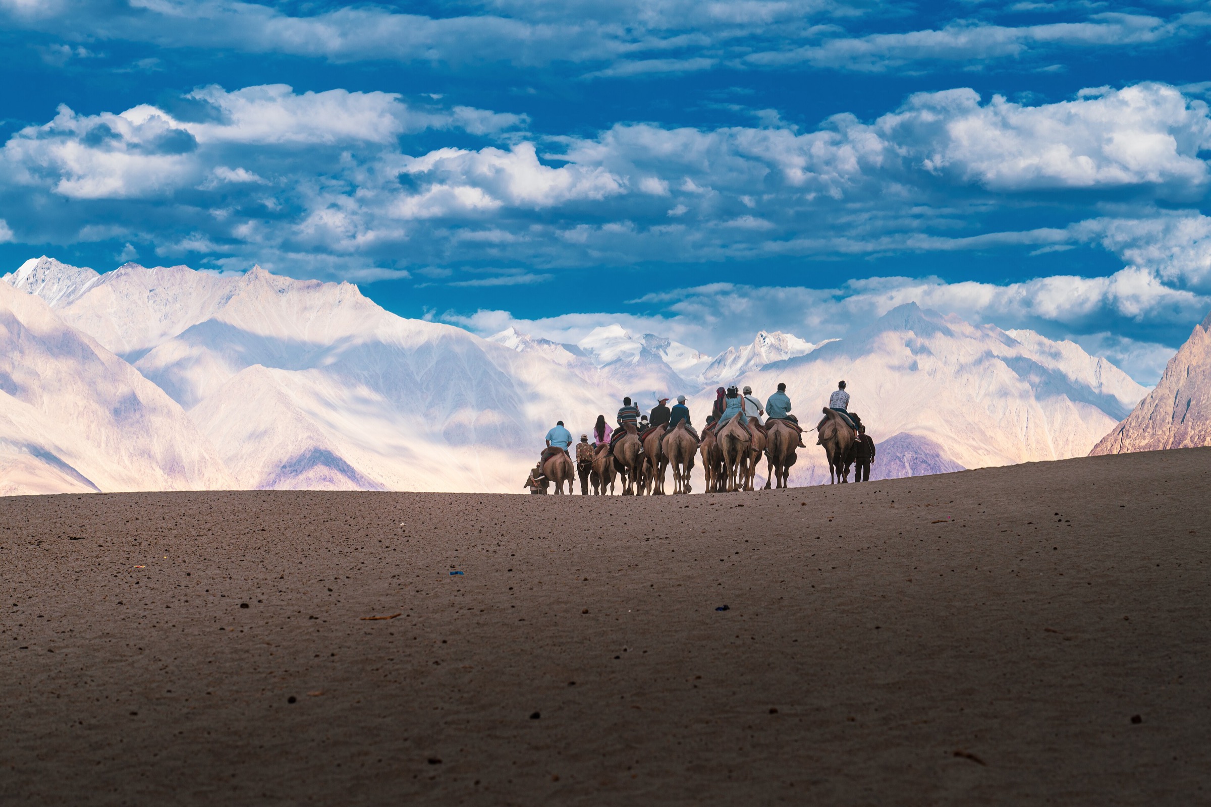
| 4 | Hunder Sand Dunes and Shyok River Edge | India | Short loop / out-and-back | ca. 3–6 km | Minor | ca. 3,100 m | Easy–moderate |
| 5 | Saser Pass Trail from Shyok | India | Out-and-back | 15.4 km | 967 m | 5,394 m | Hard |
1. Photang to Diskit Monastery
Snapshot
Itinerary
The walk climbs from the lower Diskit / Photang side to Diskit Monastery, the oldest and largest monastery in Nubra. The path and road sections rise above the village to monastery terraces and viewpoints over Diskit, Hunder, the Shyok-Nubra valley floor, and the surrounding desert mountains.
The route is short, but the altitude and sun exposure make pacing worthwhile. The monastery should be visited respectfully, with attention to local opening times and religious practice.
Why it is essential
Diskit Monastery is Nubra’s signature cultural landmark and one of the most accessible ways to experience the Eastern Karakoram’s inhabited valley landscape on foot.
Equipment
- Walking shoes
- Sun protection
- Water
- Warm layer
- Wind shell
- Modest clothing for monastery areas
Hazards and notes
- Altitude, heat, and sun exposure
- Loose road edges and traffic near the lower approach
- Monastery access rules and opening times
- Permit requirements for Nubra travel must be checked before arrival
GPX / KML links
| Source | URL | Format / access | Reuse status |
|---|---|---|---|
| AllTrails: Photang – Diskit Monastery | alltrails.com | Route page / app map | AllTrails terms apply; GPX export and reuse terms not verified |
| OpenStreetMap search: Diskit Monastery | openstreetmap.org | Map/search | OSM data is ODbL; geometry cross-check only |
External links
2. Yarab Tso from Sumur / Panamik Roadhead

Snapshot
Itinerary
Yarab Tso is a small sacred lake above the Sumur/Panamik side of Nubra. Most visitor descriptions treat it as a short hike from a nearby roadhead rather than a long walk from the main villages. The path climbs through dry Ladakh terrain to the lake basin, where quiet behaviour is appropriate because the site is locally sacred.
The exact trailhead and distance require local confirmation. Sources disagree on whether the walk is a short roadhead hike or a longer approach from Panamik/Sumur; the catalogue entry therefore records only a short roadhead version as the day-hike candidate.
Why it is essential
Yarab Tso adds a lake and sacred-site walk to the Eastern Karakoram selection, contrasting with monastery, desert, and high-pass routes.
Equipment
- Walking shoes
- Sun protection
- Water
- Warm layer
- Wind shell
- Modest behaviour around the lake
Hazards and notes
- Altitude, heat, and lack of shade
- Unclear start point
- Sacred-site etiquette
- Do not treat the lake margin as a picnic or bathing site unless local guidance explicitly allows it
GPX / KML links
| Source | URL | Format / access | Reuse status |
|---|---|---|---|
| OpenStreetMap search: Yarab Tso Nubra | openstreetmap.org | Map/search | OSM data is ODbL; geometry cross-check only |
| Ladakh Ecotourism: Panamik / Ensa context | ladakhecotourism.com | Local ecotourism page | Site terms apply; no route-file licence found |
External links
- UT Ladakh — official Nubra page
- Ladakh Ecotourism — Panamik
- Ladakh Travel Mart — Nubra Valley visitor guide
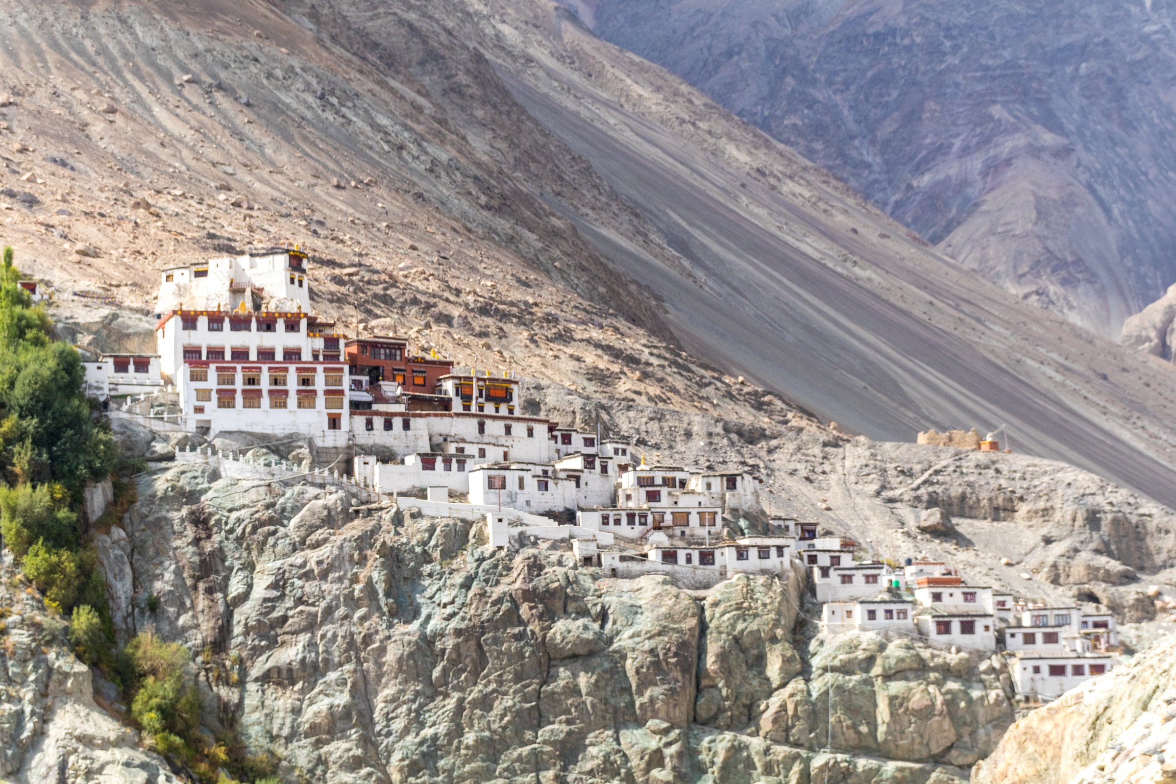
3. Ensa Gompa Trail
Snapshot
Itinerary
The trail climbs to Ensa Gompa, a small monastery above the Panamik side of Nubra. AllTrails describes the route as a short but moderately challenging out-and-back with valley views, chortens, and a kora-style path near the monastery. Ladakh Ecotourism also identifies Ensa as a monastery reachable by a short hike from Panamik.
The walk is brief but steep enough to feel strenuous at altitude. The route should be treated as a religious-site approach rather than only a viewpoint.
Why it is essential
Ensa Gompa is a quieter alternative to Diskit and gives the selection a short, steep monastery climb on the upper Nubra side.
Equipment
- Walking shoes
- Water
- Sun protection
- Warm layer
- Wind shell
- Modest clothing and respectful behaviour at the gompa
Hazards and notes
- Altitude and steep, dusty path
- Lack of shade
- Uncertain local opening/access arrangements
- Ask locally before entering monastery spaces or photographing interiors
GPX / KML links
| Source | URL | Format / access | Reuse status |
|---|---|---|---|
| AllTrails: Ensa Gompa Trail | alltrails.com | Route page / app map | AllTrails terms apply; GPX export and reuse terms not verified |
| OpenStreetMap search: Ensa Gompa Nubra | openstreetmap.org | Map/search | OSM data is ODbL; geometry cross-check only |
External links
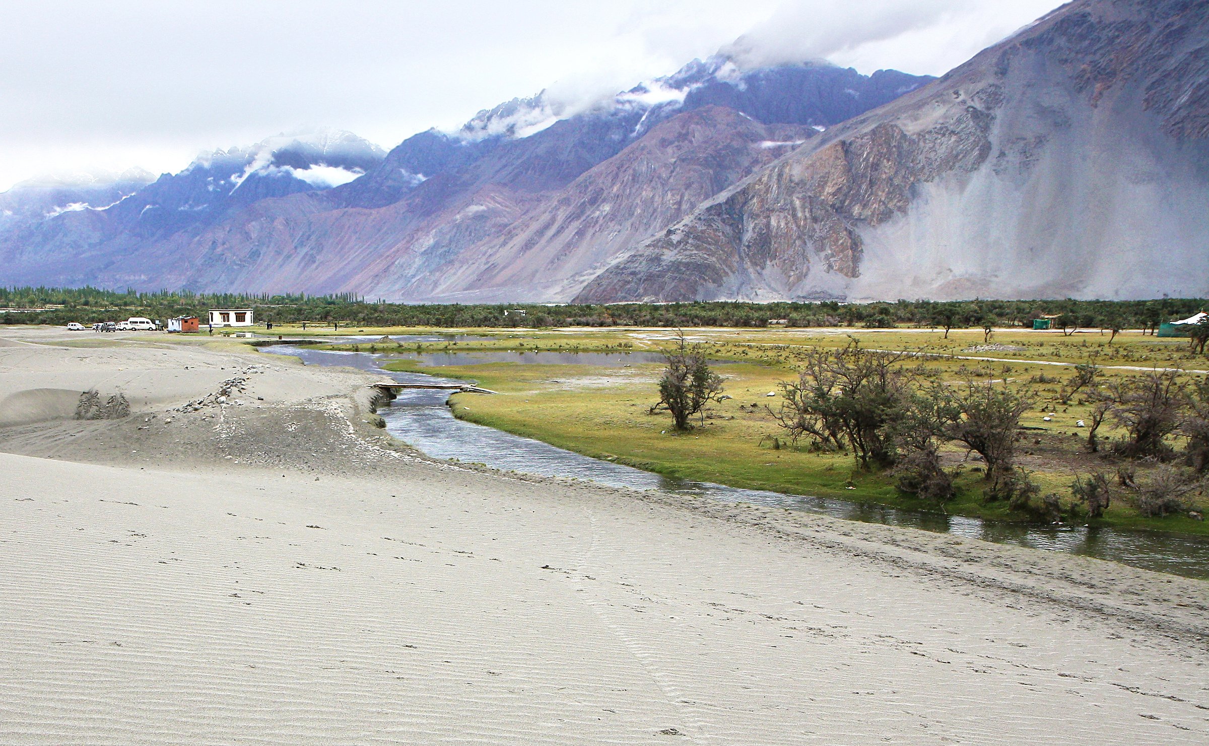
4. Hunder Sand Dunes and Shyok River Edge
Snapshot
Itinerary
From the Hunder dunes access area, the walk follows firm sand, river-edge paths, and village margins between the dunes and the Shyok-side landscape. The route should avoid trampling vegetation or entering camel-ride holding areas unless access is clear. A longer version can link towards Hunder village paths or a vehicle pickup.
The exact line is flexible and not published as an official GPX trail. It is included as a low-level, culturally recognisable Nubra walk rather than a high mountain route.
Why it is essential
Hunder’s cold-desert dunes are one of Nubra’s most recognisable landscapes and show the Eastern Karakoram’s arid valley-floor character below the high Saser and Karakoram ranges.
Equipment
- Walking shoes
- Sun hat, sunglasses, sunscreen
- Water
- Light wind layer
- Warm layer outside midday
Hazards and notes
- Heat, sun exposure, wind-blown sand
- Soft ground and river-edge instability
- Traffic near access roads
- Crowding around camel areas; stay off fragile vegetation and respect local land use
GPX / KML links
| Source | URL | Format / access | Reuse status |
|---|---|---|---|
| OpenStreetMap search: Hunder sand dunes Nubra | openstreetmap.org | Map/search | OSM data is ODbL; geometry cross-check only |
| UT Ladakh official Nubra page | ladakh.gov.in | Official destination page | Government site terms not route-file specific; landmark and access verification only |
External links
5. Saser Pass Trail from Shyok
Snapshot
Itinerary
AllTrails describes this route as an out-and-back starting from Shyok village towards Saser Pass terrain, on or near the ancient summer caravan route from Ladakh towards Yarkand. The route is high, remote, and partly road/track influenced, with AllTrails also tagging off-road driving. The catalogue treats it as a hard, guide-dependent day hike candidate rather than a normal recreational path.
This entry is not a recommendation to walk to the historic Karakoram Pass or into restricted border areas. It is a limited Saser-side day route that must be checked locally before any attempt.
Why it is essential
Saser is the most direct day-scale way to represent the true Eastern Karakoram high-pass and caravan-route character within a civilian-accessible Ladakh framework, if permissions and conditions allow.
Equipment
- Sturdy boots
- Trekking poles
- Warm insulation
- Waterproof/windproof shell
- Hat and gloves
- Sunglasses and high-UV sun protection
- Food and water
- Navigation backup
- Headtorch
- Snow traction may be needed if snow or ice remains
Hazards and notes
- High-altitude, remote route with possible snow
- Military or permit restrictions
- Roadworks, landslides, and exposure to severe weather
- Very limited rescue options
- Do not attempt without current local permission checks, acclimatisation, and guide/driver support
GPX / KML links
| Source | URL | Format / access | Reuse status |
|---|---|---|---|
| AllTrails: Sasser Pass Trail | alltrails.com | Route page / app map | AllTrails terms apply; GPX export and reuse terms not verified |
| OpenStreetMap search: Saser Pass Shyok | openstreetmap.org | Map/search | OSM data is ODbL; geometry cross-check only |
| Ladakh online permit portal | lahdclehpermit.in | Official permit portal | Not a route-file source; access-permit verification point only |
External links
- AllTrails — Sasser Pass Trail
- UT Ladakh — official Nubra page
- Ladakh online permit portal
- UT Ladakh — Forest, Ecology and Environment Department
Missing data and follow-up
- No legal, public, GPX-grade day-hike routes were found for the Pakistan or China sectors of the Eastern Karakoram in this pass.
- Siachen Base Camp, Karakoram Pass, Depsang, and many frontier routes require separate access research and should not be listed as ordinary hikes.
- Yarab Tso distance/elevation is inconsistent across sources; exact roadhead and route length need local confirmation.
- Hunder sand-dune route statistics need GPS survey if a fixed catalogue line is desired.
- AllTrails GPX export/reuse terms remain unverified for Diskit, Ensa, and Saser.
External links
| Source | URL |
|---|---|
| UT Ladakh — official Nubra page | ladakh.gov.in |
| Ladakh online permit portal | lahdclehpermit.in |
| UT Ladakh — Forest, Ecology and Environment Department | ladakh.gov.in |
| Ladakh Ecotourism — Panamik | ladakhecotourism.com |
| Ladakh Travel Mart — Nubra Valley | ladakhtravelmart.com |
| AllTrails — Photang–Diskit Monastery | alltrails.com |
| AllTrails — Ensa Gompa Trail | alltrails.com |
| AllTrails — Sasser Pass Trail | alltrails.com |