The Pacific Crest Trail, usually known as the PCT, is a long-distance wilderness trail running from the Mexican border to Canada through California, Oregon and Washington. PCTA describes the trail as 2,650 miles / 4,265 km long, while its latest centreline data gives a more precise current estimate of 2,655.84 miles. The route is a National Scenic Trail, open to both hikers and equestrians.
Route at a glance
Overview
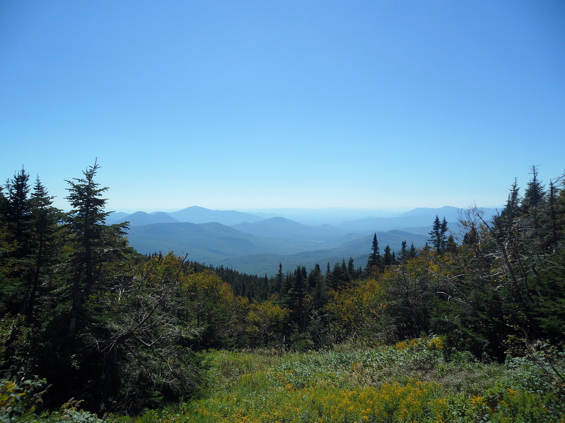
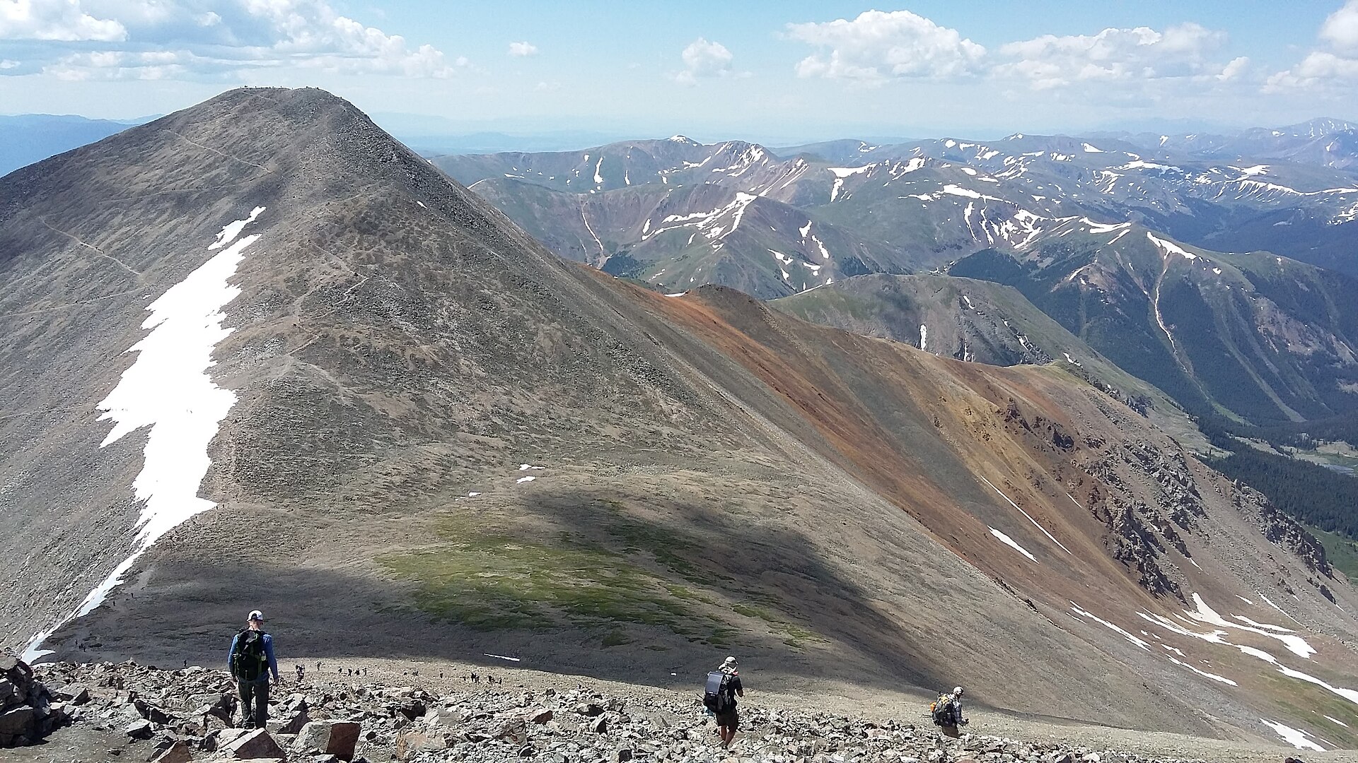
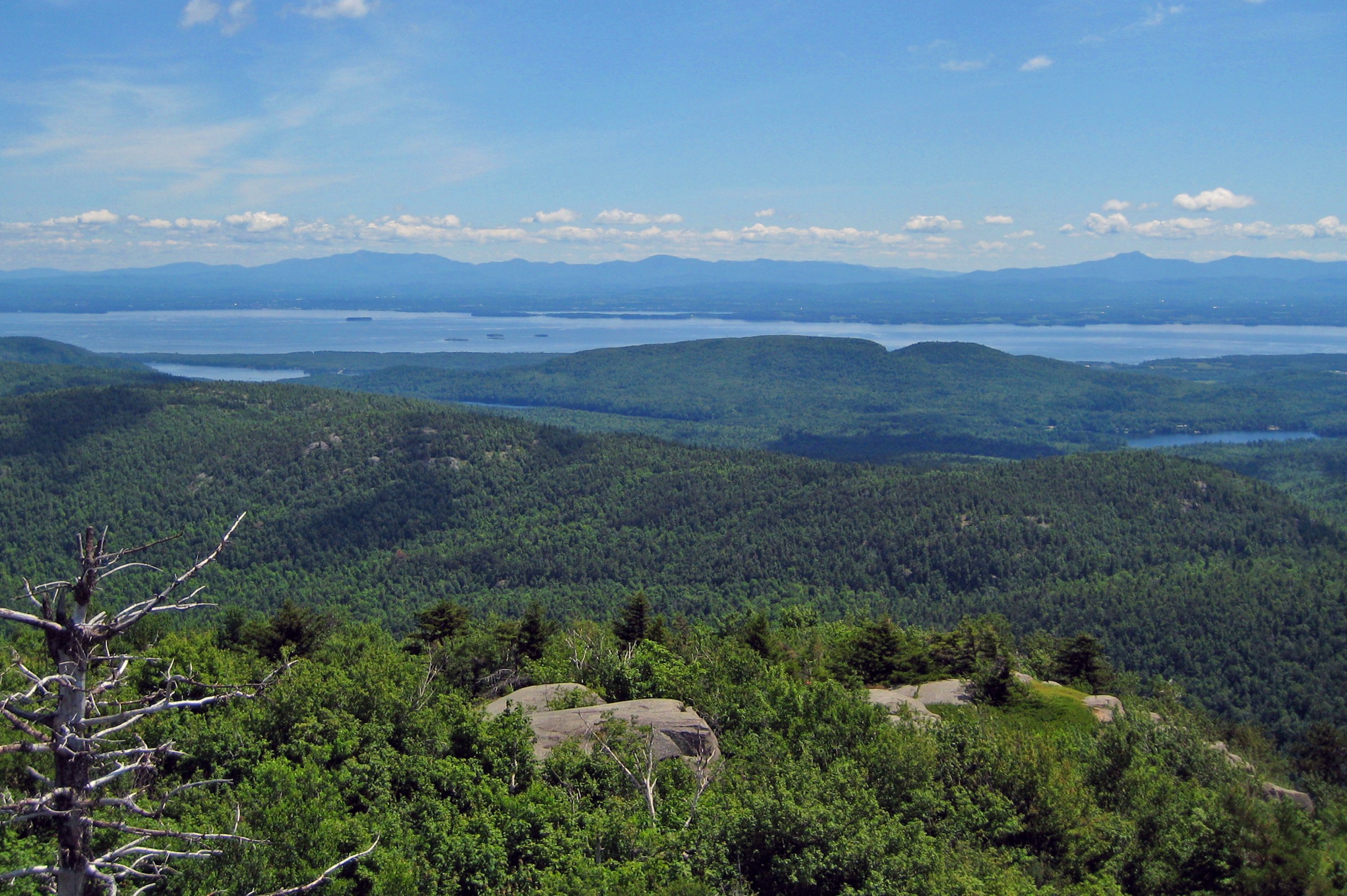
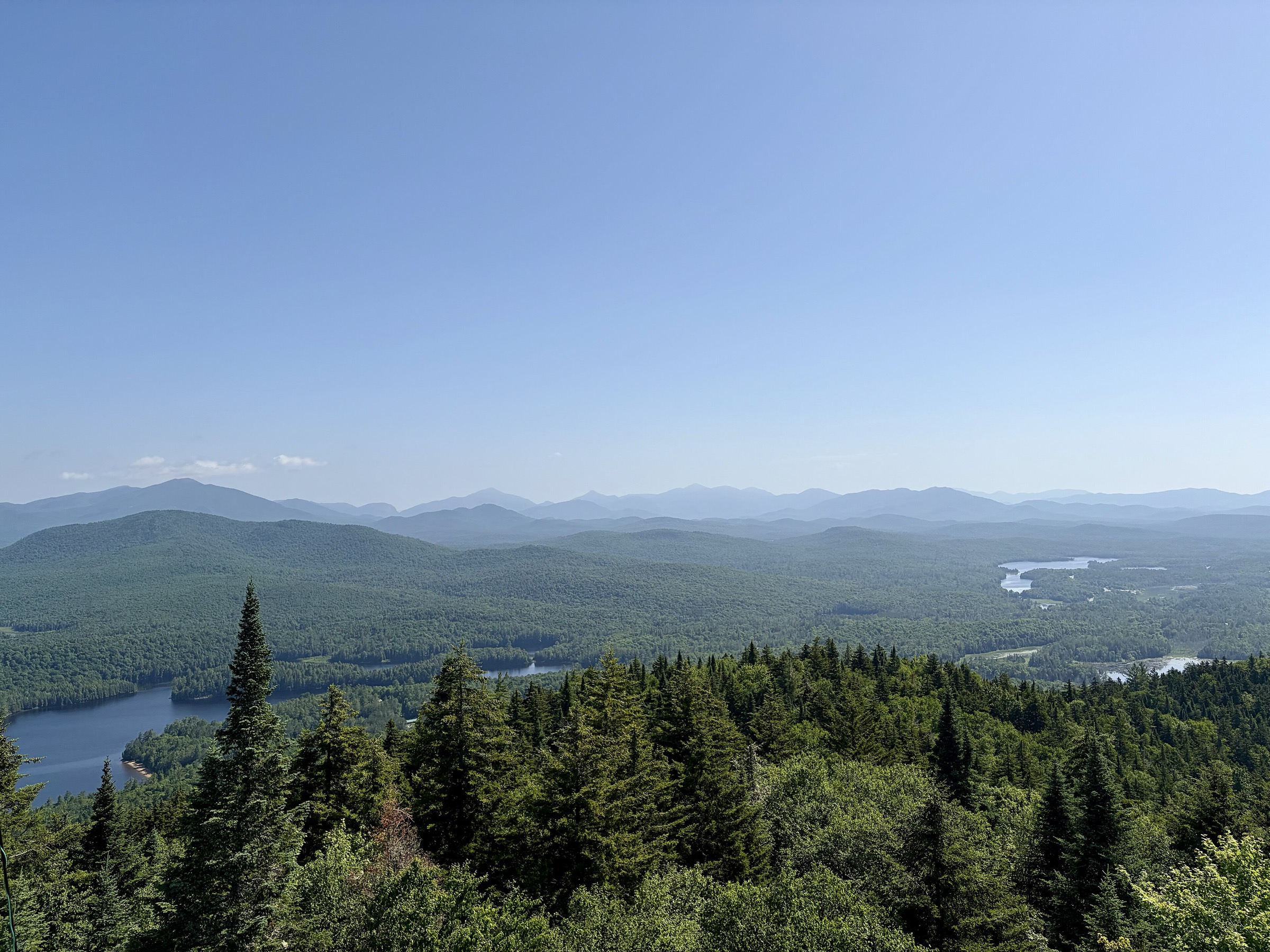
The trail is remote by design. It avoids towns and roads where possible, passes through desert, the Sierra Nevada, deep forests and the Cascade Range, and often requires travellers to camp and carry supplies between access points. It crosses more than 100 major mountain passes and passes through numerous land jurisdictions, including national forests, national parks, BLM areas, wilderness areas, tribal lands and state or county parks.
Main regions
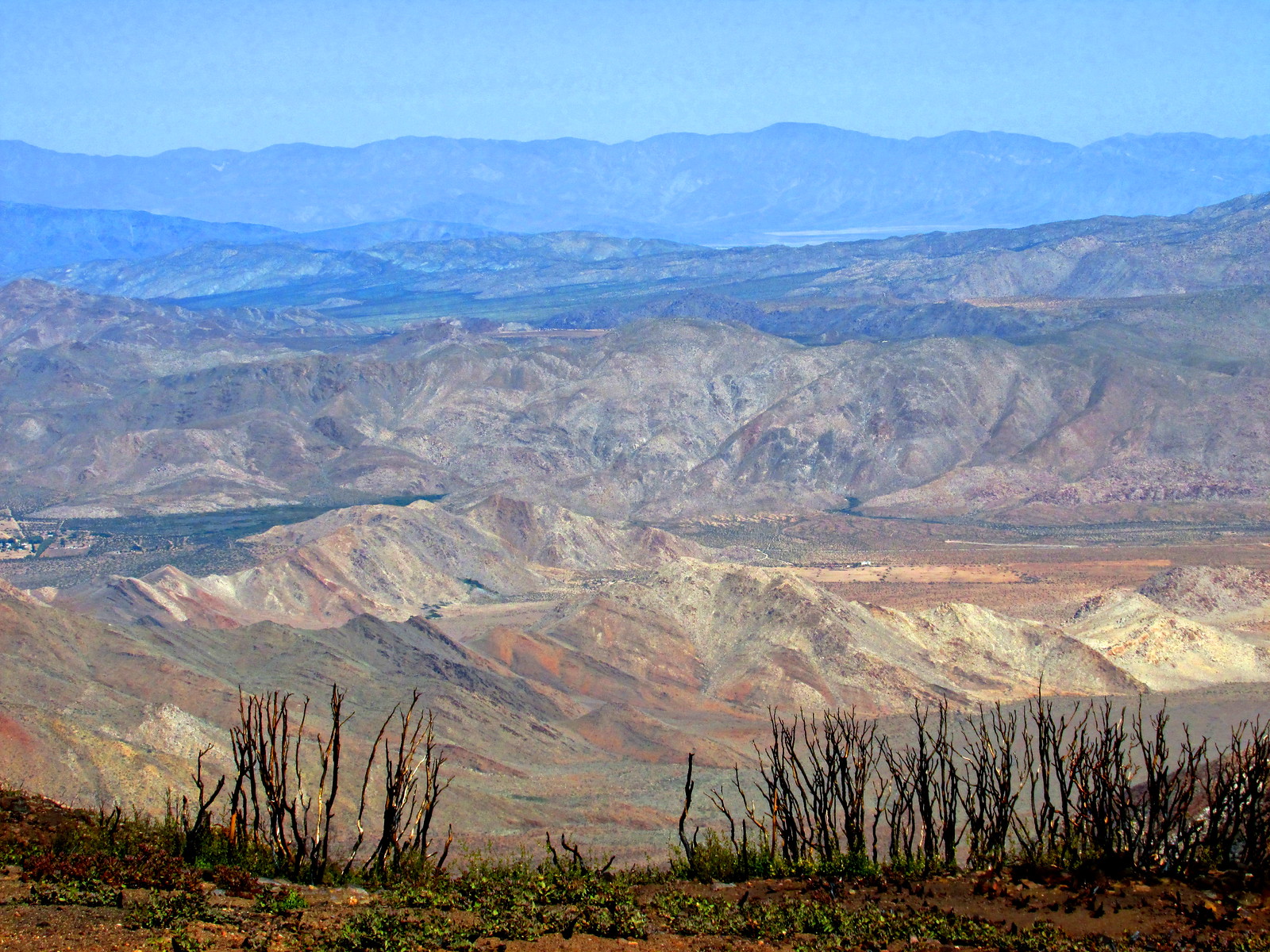
Southern California
Roughly 700 miles of desert and mountain travel. One of the most accessible parts of the PCT, but water and heat can be serious planning issues.
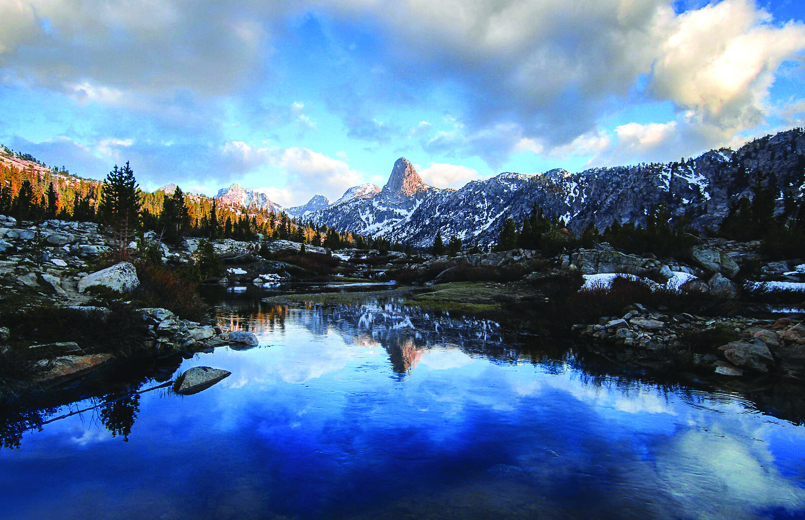
Central California
Includes the Sierra Nevada, often regarded as one of the trail's premier mountain sections.
Northern California
Quieter and more solitary, running from the southern Cascades towards the "Big Bend".
Oregon
Generally easier walking through old-growth forest, lakes, ridges and volcanoes.
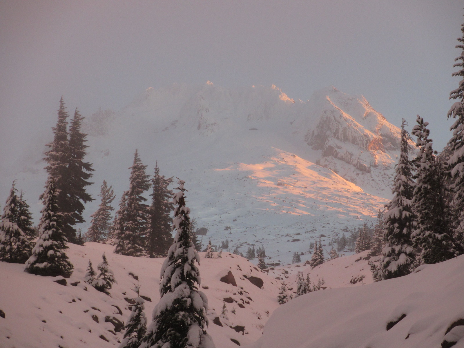
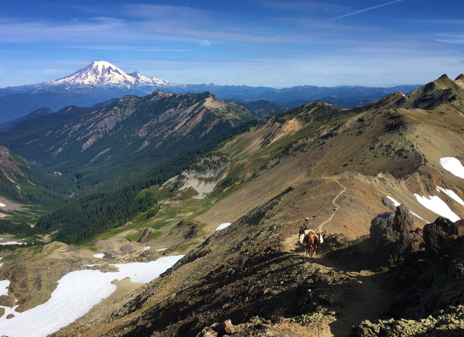
Washington
Runs from the Columbia Gorge into the North Cascades. One of the most rugged and scenic parts of the trail.
Ways to travel the trail
Day and section hiking
The PCT does not have to be a months-long expedition. PCTA notes that most users are out for less than a week, and the trail is suitable for day hikes, weekends and longer section hikes.
A practical section plan starts with the PCTA Explore — Trips and Trailheads tool, maps and guidebooks, then works backwards from road crossings, transport and water availability. Many PCT trips are point-to-point, so expect to arrange a shuttle or accept limited public transport options.
Thru-hiking and long-distance hiking
A thru-hike is a major endurance project rather than a simple walk. PCTA emphasises that long-distance PCT travel should not be underestimated: injuries and hazards are common, and the completion rate is not guaranteed.
A basic preparation sequence is: research the route, build fitness and backcountry skill, collect maps and trail information, plan resupply, apply for permits, organise home and financial logistics, then arrange transport to the trailhead.
Equestrian travel
The full length of the PCT is open to riders and horses, but equestrian travel requires specific planning. Riders need to consider animal choice, safety, equipment, logistics, trail conditions and whether a section is passable for stock.
John Muir Trail overlap
The John Muir Trail overlaps the PCT for much of its route through the Sierra Nevada. It is 211 miles long, running from Yosemite Valley to Mount Whitney, and passes through Yosemite, the John Muir and Ansel Adams Wildernesses, Kings Canyon and Sequoia National Parks.
PCTA treats it as a major planning topic in its own right, with separate information on permits, maps, regulations, resupply and transport.
Navigation and maps
Carry proper maps. PCTA specifically recommends paper maps and also provides interactive maps, overview maps, Google Earth resources and GIS data.
Trail signage exists, especially at junctions and road crossings, but the PCT is a wilderness trail and reassurance markers can be far apart. Hikers should be able to navigate without relying on frequent signs.
Route files and downloadable maps
PCTA’s official GIS data page provides the PCT centreline and half-mile markers in multiple formats, including GPX, KMZ, GeoJSON, shapefile and file geodatabase.
The official download portal is the PCT Data Share Public Box folder. Individual GPX and KMZ files appear to be organised inside that Box download area rather than linked as separate static URLs.
| Type | Resource |
|---|---|
| Official route data portal — GPX, KMZ, GeoJSON, shapefile, file geodatabase | PCT Data Share Public Box folder |
| PCTA route-data information page | PCT Data information page |
| Garmin-compatible GPX alternative | David Carr 2025 PCT GPX |
| Trail-wide overview PDF | PCT Overview 2018 (Halfmile) |
| Oregon / Washington overview PDF with public transport | PCT OR/WA Overview 2018 |
| California overview PDF | PCT California Overview 2018 |
For Google Earth, PCTA recommends downloading the KMZ format from the PCT Data page and loading it into Google Earth. It also notes that snow, fire and satellite layers can be useful for planning, but should not be treated as life-safety information.
Permits
Permits are required in some, but not all, areas. PCTA identifies three key permit topics:
- Local permit areas
- The PCT Long-distance Permit for people travelling 500 or more continuous miles in a single trip
- The California Campfire Permit for those using fire or stoves where applicable
Backcountry basics
The PCT requires self-sufficiency. Before leaving, plan for water, weather, navigation, first aid, food, fire restrictions, snow, winter conditions, transport, gear and Leave No Trace practices.
PCTA’s backcountry section is structured around these core topics rather than presenting the trail as a single fixed itinerary.
Water is a major planning issue, especially in Southern California and some parts of far Northern California and Central Oregon. Backcountry water should be treated or filtered, and water availability should be checked before departure.
Trail conditions, closures and incidents
PCTA's trail-conditions page is crowdsourced and organised by region and section. Official closures are listed separately. The trail does not formally close for winter, but snow can make hiking impractical or dangerous, and temporary closures may be ordered for fires, damaged bridges or other hazards.
For emergencies, call 911 and give the dispatcher your location as clearly as possible, including the nearest town, road or known trail feature.
Non-emergency suspicious or illegal activity should be reported to local law enforcement or rangers, and PCTA links to the official U.S. Forest Service PCT Incident Report Form.
Section structure
The PCT is commonly divided into 29 sections, typically bounded by major road crossings or resupply points.
California sections are labelled A – R, while Oregon and Washington restart the alphabet and run A – L, meaning there are two “Section A” labels in common usage.
These guidebook sections usually range from about 40 to 150 miles.
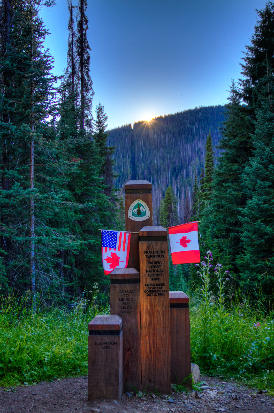
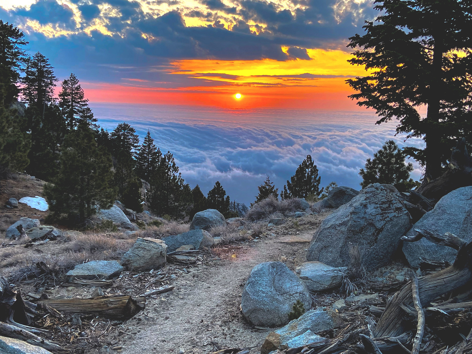
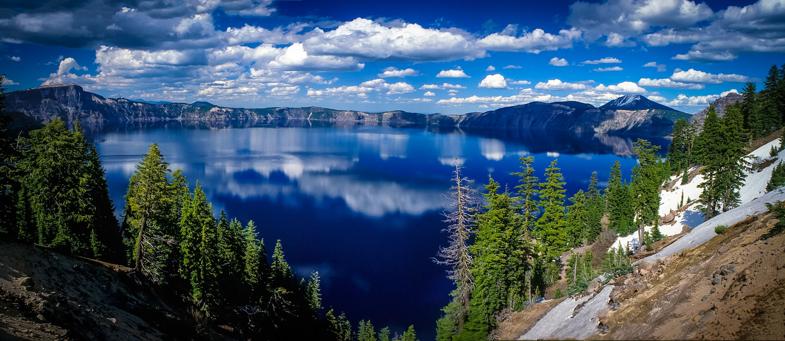
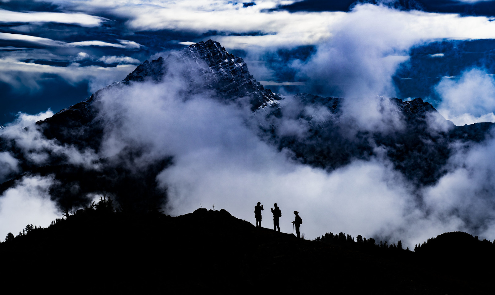
Photo and inspiration resources
PCTA also maintains photo galleries for California, Oregon, Washington, equestrian travel, flora and fauna, trail work, trail heritage and historical images. These are best treated as inspiration rather than planning material.
Source links
- PCTA — Discover the Trail
- PCTA — Geography
- PCTA — Day and Section Hiking
- PCTA — Thru-hiking and Long-distance Hiking
- PCTA — Equestrian Centre
- PCTA — John Muir Trail
- PCTA — Maps
- PCTA — PCT Data
- PCTA — Google Earth
- PCTA — Permits
- PCTA — Backcountry Basics
- PCTA — Trail Conditions
- PCTA — FAQ
- PCTA — Incident Report
- PCTA — Photo Gallery