The Continental Divide National Scenic Trail, usually known as the CDT, is one of the great long-distance trails of North America. Established by Congress in 1978, it runs for approximately 3,100 miles between Mexico and Canada, following the spine of the Rocky Mountains through New Mexico, Colorado, Wyoming, Idaho and Montana.
Quick facts
- Overview
- The CDT experience
- History of the CDT
- Ways to experience the trail
- Thru-hiking
- Permits
- Southern terminus and shuttle
- Northern terminus
- Gateway communities
- Maps, navigation, and route data
- Closures, alerts, and conditions
- Safety
- Bears and food storage
- Pets and pack animals
- Downloads and route resources
Overview
The Continental Divide National Scenic Trail, usually known as the CDT, is one of the great long-distance trails of North America. Established by Congress in 1978, it runs for approximately 3,100 miles between Mexico and Canada, following the spine of the Rocky Mountains through New Mexico, Colorado, Wyoming, Idaho and Montana.
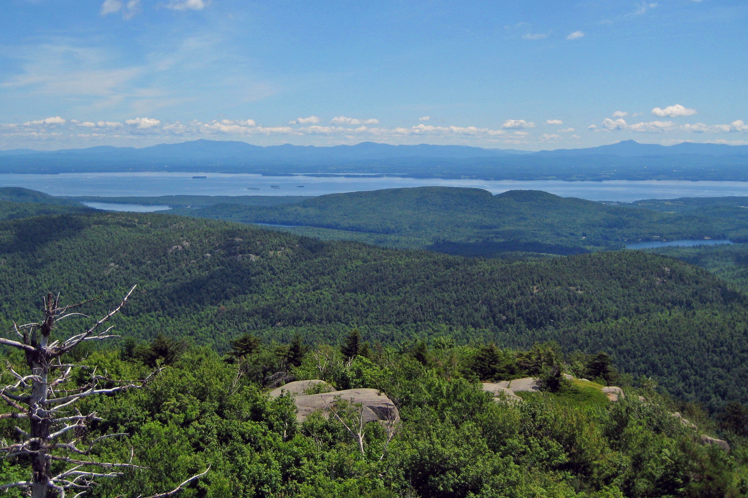
The route connects public lands, mountain communities, high alpine terrain, forests, deserts, river valleys and historic landscapes along the Continental Divide.
The CDT ranges from around 4,000 feet to over 14,000 feet in elevation and supports many forms of recreation, including hiking, backpacking, horseback riding, mountain biking where permitted, skiing, snowshoeing, wildlife viewing, fishing, hunting and sightseeing.
For long-distance hikers, it forms one third of the Triple Crown of Hiking, alongside the Appalachian Trail and Pacific Crest Trail.
The CDT experience
The CDT is not simply a line of trail. Its character comes from the natural, cultural, scenic and historical landscapes through which it passes.
The route is designed primarily for hikers and horseback riders, with other non-motorised uses permitted in some areas. It aims to remain close to the Continental Divide where feasible, while avoiding alignments that would be unsafe, environmentally damaging or impractical.
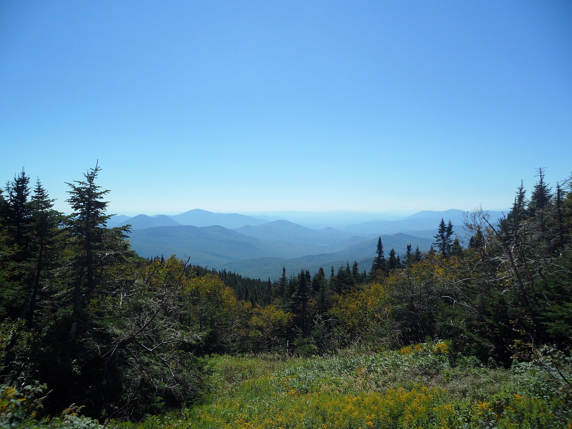
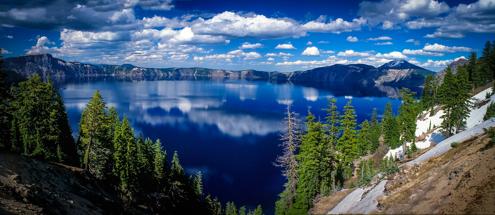
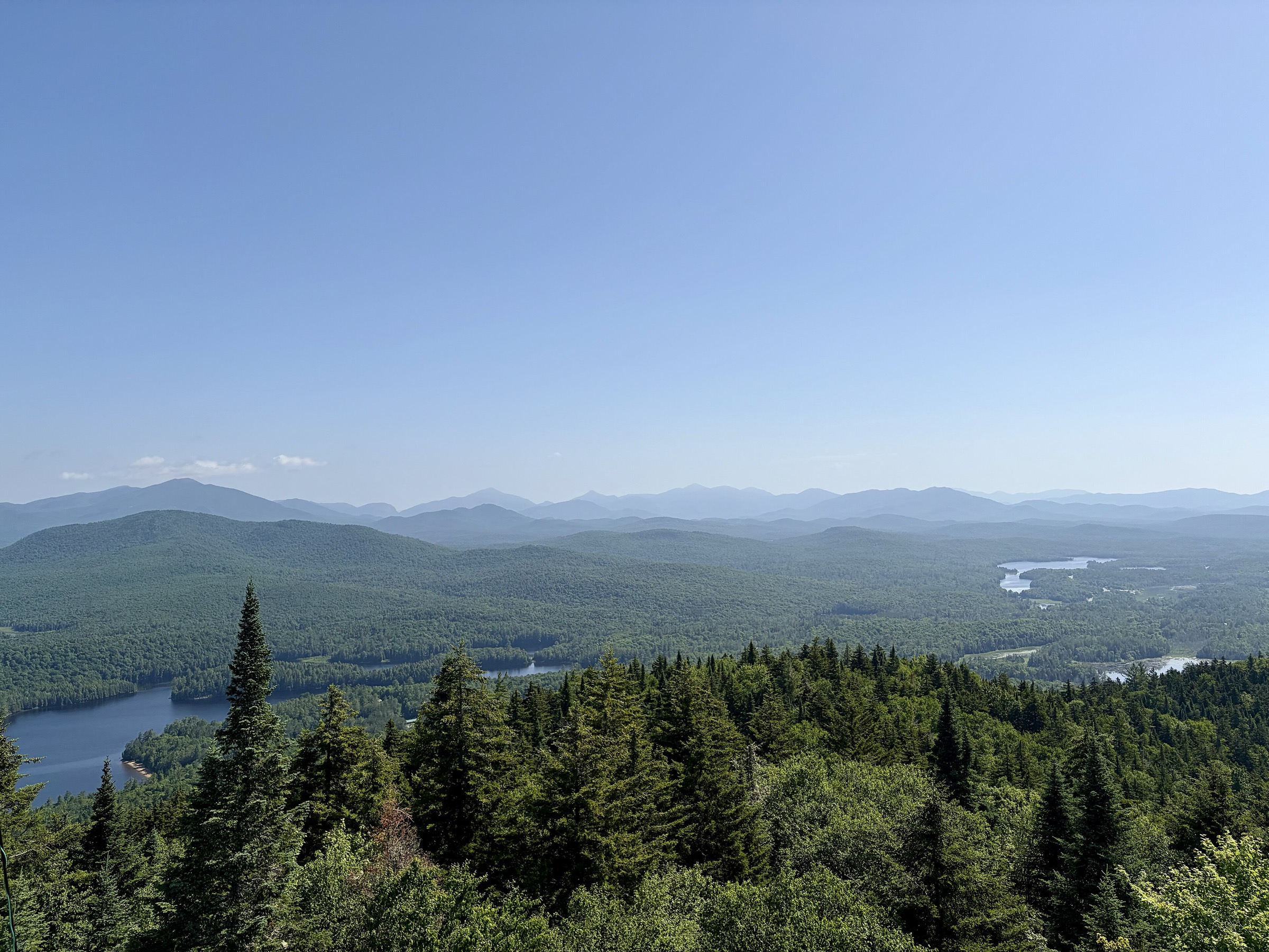
The trail crosses landscapes ranging from high-alpine tundra and Rocky Mountain forests to open desert, meadows, volcanic terrain, glacial valleys and small Western towns.
It also passes through the homelands of numerous Native American peoples and connects historic trade routes, mining areas, ranching landscapes, rural communities and protected wilderness areas.
History of the CDT
The idea of the CDT grew from the wider National Scenic Trails movement of the 1960s. The trail was included in the 1966 Trails for America study, and although it was not designated in the original 1968 National Trails System Act, it was recommended for further study.
The 1976 Continental Divide Trail Study Report helped define the future character of the route, and Congress formally established the trail in 1978.
Today, the CDT is recognised as one of the most remote, highest and most challenging National Scenic Trails in the United States.
Ways to experience the trail
The CDT can be experienced in many ways, from a short afternoon walk to a multi-month thru-hike. The trail offers day hikes, section hikes, equestrian routes, backpacking trips and long-distance journeys.
Only a small proportion of CDT visitors attempt the entire route, but the continuous Mexico-to-Canada corridor gives the trail its defining identity.
Day and section hiking
Day and section hikers can use CDTC trail-finding resources to search by region and difficulty, including family-friendly options and CDTC guide selections.
The day and section hiking resources include hikes in Colorado, Montana and Idaho, New Mexico and Wyoming. Examples include East Shore Trail, Lewis and Clark Pass via Alice Creek Trail, MacDonald Pass to Tenmile Creek, Limekiln Hill, Warren Lake, Upper Seymour Lake, Chief Joseph Pass, Lemhi Pass and the Centennial Mountains.
For any day or section outing, walkers should carry suitable navigation, check current alerts and prepare for backcountry conditions.
Thru-hiking
A thru-hike of the CDT is a major expedition. The route covers roughly 3,100 miles from Mexico to Canada, or Canada to Mexico, and typically takes around five to seven months.
The trail crosses some of the most challenging terrain in North America, including desert, high mountains, snow-prone passes, remote wilderness and long resupply gaps.
Thru-hikers should register their hike, sign up for trail alerts and use the CDTC Planning Guide. Planning webinars and guidance may cover permits, shuttles, alerts, Trail Days, snow travel and desert hiking.
Permits
There is no single long-distance permit for the entire CDT. Long-distance travellers must obtain permits for the specific land-management areas through which they pass.
For a full CDT thru-hike, key permit issues include the Blackfeet Nation Fish & Wildlife Recreation Permit, Glacier National Park wilderness camping permits and Yellowstone National Park backcountry camping permits.
Other permit requirements may apply in Rocky Mountain National Park and the Indian Peaks Wilderness in Colorado.
In Glacier National Park, hikers must camp in designated campsites, and permits are split between advance reservations and walk-in availability. Yellowstone backcountry permits must be obtained in person no more than 48 hours before starting a trip through the park.
Permit rules and access requirements can change. Always check the current land-manager guidance before travelling.
Southern terminus and shuttle
The southern terminus of the CDT is at the Crazy Cook monument near the US – Mexico border in remote southern New Mexico.
Access is difficult due to the remoteness of the Chihuahuan Desert terrain, rough dirt roads, limited reception and long distances from services.
CDTC operates a Southern Terminus shuttle between Lordsburg, New Mexico, and the southern terminus area during peak hiking seasons.
Due to the establishment of the New Mexico National Defense Area along the border, clearance may be required to access the monument itself. For hikers without clearance, or those who choose not to enter the restricted area, the shuttle may drop off or pick up at CDT mile 2.2.
Water is a critical planning issue in the New Mexico Bootheel. CDTC identifies five water cache boxes between the southern terminus and Lordsburg. Shuttle riders receive water caching as part of the shuttle service; non-shuttle users must arrange water in advance and should not use water allocated to others.
Northern terminus
The CDT has two designated northern termini near Glacier National Park and the Canadian border: Waterton and Chief Mountain.
The Waterton terminus is reached on foot via the CDT in the United States and the Lakeshore Trail in Canada. It is popular with hikers entering or leaving Canada through Waterton Townsite, though some campsites on the Waterton route may open later depending on snowpack.
The Chief Mountain terminus is reached by road via Chief Mountain Highway. It is often preferred by early- or late-season hikers because the route stays lower than the Waterton option.
Overnight travel in Glacier National Park requires wilderness permits, and access through the Blackfeet Reservation requires the appropriate Blackfeet permit. For Glacier itineraries, hikers should prepare multiple route options and be ready for short or long mileage days depending on campsite availability.
Gateway communities
Gateway Communities are towns and counties along the CDT corridor that welcome trail users and support the completion, protection and promotion of the trail.
They provide services, resupply points, local information, lodging, transport, events and community links for hikers, riders and visitors.
-
New Mexico
New Mexico is the southernmost CDT state, with approximately 820 miles of trail through desert grasslands, mountains, red-rock landscapes, the Gila Wilderness, the Wild and Scenic Rio Chama, El Malpais National Monument and the San Pedro Parks Wilderness. Summer monsoon storms in July, August and early September can bring violent afternoon thunderstorms and flash-flood risk.
-
Colorado
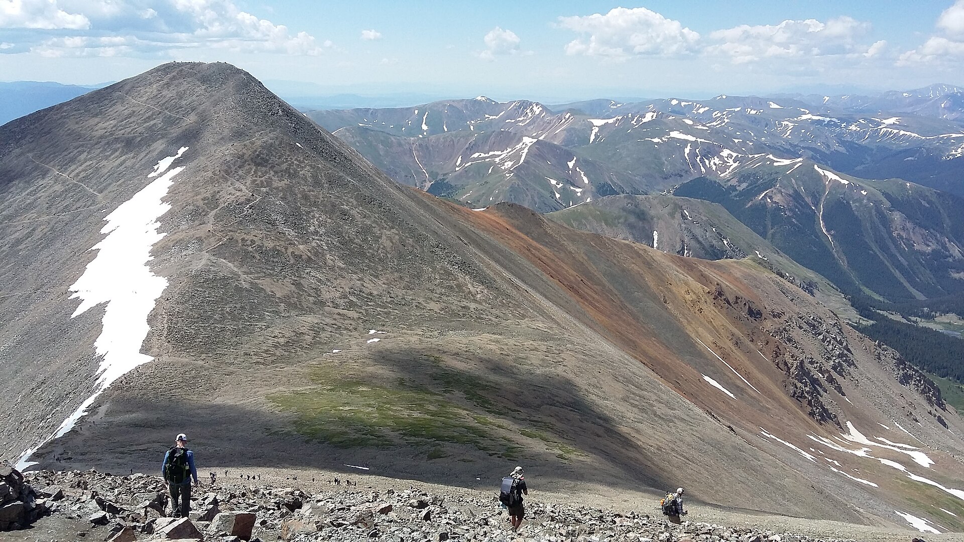
Colorado contains around 750 miles of the CDT, much of it in high alpine terrain. Highlights include the South San Juan, Weminuche and La Garita Wildernesses, the Collegiate Peaks, Grays Peak, Rocky Mountain National Park and the Mount Zirkel Wilderness. Much of the route lies above 10,000 feet, so altitude, snow, storms and exposure require careful planning.
-
Wyoming
Wyoming offers nearly 550 miles of CDT terrain, from the Great Divide Basin to the Wind River Range, Yellowstone National Park, South Pass City, the Sierra Madre and the Absaroka and Teton wilderness landscapes. The Great Divide Basin is a 120-mile high-desert section with sparse water, while snow can remain on high Wind River Range passes into July.
-
Idaho and Montana
The CDT runs for around 800 miles through Montana and about 180 miles through Idaho. This northern section includes Glacier National Park, Waterton Lake, the Anaconda, Bitterroot and Beaverhead mountains, Lemhi Pass, Chief Joseph Pass, the Bob Marshall Wilderness Complex and the Chinese Wall. Trips in the far north are generally best planned for July to early September, as winter arrives early and snow can linger late.
Maps, navigation, and route data
The CDTC Interactive Map shows the full CDT route with layers such as water sources, closures, reroutes, Gateway Communities and downloadable section maps. It is the main online tool for exploring the trail corridor and checking route information before travelling.
The 4th edition CDTC Map Set provides official CDT map coverage at a scale of 1 inch to half a mile. The maps include topographic detail, elevation profiles, water sources and waypoint data. They are available as state or section bundles and are intended for both short trips and thru-hikes.
CDTC also provides a tutorial for downloading individual free PDF section maps directly from the Interactive Map. The process uses the Mapset Pages layer, where each rectangle corresponds to a downloadable map page, available in high- or low-resolution PDF format.
Official route data is available in GPX and KMZ formats. No separate official KML link was found in the checked resources; KMZ is the compressed Google Earth format commonly used in place of KML.
Closures, alerts, and conditions
Trail conditions can change due to fire, construction, weather, land-management restrictions, reroutes or other hazards.
CDTC maintains a Closures and Alerts page and also posts alerts through the Interactive Map.
Users should also check local land managers, fire restrictions, InciWeb, weather forecasts, snow data and avalanche information where relevant.
For emergencies on the CDT, contact 911 or local law enforcement first. Incident reports to CDTC are secondary and should be used after urgent safety steps have already been taken.
Check current closures, reroutes, fire restrictions and land-manager alerts before starting any CDT trip.
Safety
The CDT is a backcountry route with inherent risks. Navigation, weather, altitude, snow, desert heat, limited water, wildlife, isolation, river crossings and lack of mobile reception all require preparation.
Travellers should leave an itinerary with a trusted contact, carry appropriate maps and emergency communication options, and be prepared to alter plans when conditions change.
Bears and food storage
Bear-aware travel is essential on northern portions of the CDT and in other bear habitats along the corridor.
Bear spray is strongly recommended on the northern CDT, and food, rubbish, scented items and pet food must be stored in a bear-safe manner where required.
Poor food storage can endanger both people and bears by teaching animals to seek food from campsites, vehicles and developed areas.
Pets and pack animals
Dogs, horses and other animal companions require additional planning.
Dog owners must plan for extra water, wildlife encounters, food storage, difficult terrain and town logistics. Dog food counts as food and must be stored safely in bear country.
Non-service dogs are not allowed on the CDTC Southern Terminus shuttle.
Equestrian and pack-animal users should check local regulations, trail conditions, water availability, grazing restrictions and campsite rules before travel.
Downloads and route resources
- Online map CDTC Interactive Map Full CDT route with water sources, closures, reroutes, Gateway Communities and downloadable section maps.
- GPX / KMZ Official GPX and KMZ route data Official CDT route data for Gaia GPS, Garmin devices, CalTopo, Google Earth and other navigation tools.
- PDF map bundles CDTC state map bundles Free downloadable 4th edition map sets by state and section.
- Tutorial PDF section map tutorial Instructions for downloading individual PDF section maps from the CDTC Interactive Map.
- PDF planning guide CDT Planning Guide Free digital planning guide covering direction of travel, navigation, safety and resupply.
- Digital atlas Atlas of the CDT Thematic maps and narratives. Useful for context, not a primary navigation resource.
- Current conditions Closures and Alerts Trail notices, closures, restrictions, reroutes and fire-related information.
- Access logistics Southern Terminus Shuttle Shuttle, water caches, access notes and Lordsburg logistics.
- Access logistics Northern Terminus Waterton and Chief Mountain access, Glacier permits, resupply and border information.
Based on official information from the Continental Divide Trail Coalition.