The Appalachian Trail, or A.T., is a long-distance footpath running for 2,197.9 miles in 2026 from Springer Mountain, Georgia, to Katahdin, Maine. It crosses 14 states, eight national forests, six National Park Service units, and numerous state parks, forests, and game lands. The route is managed through a partnership of federal agencies, state agencies, the Appalachian Trail Conservancy, and local trail-maintaining clubs.
Key facts
- Trail overview
- Ways to hike the Appalachian Trail
- Choosing a long-distance direction
- Trail markings and navigation
- Planning a trip
- Permits, fees, and local rules
- Essential skills and equipment
- Finding a hike
- Registering a long-distance hike
- Stewardship and trail etiquette
- Emergencies and incident reporting
- Route files, maps, PDFs, GPX and KML
- Source links
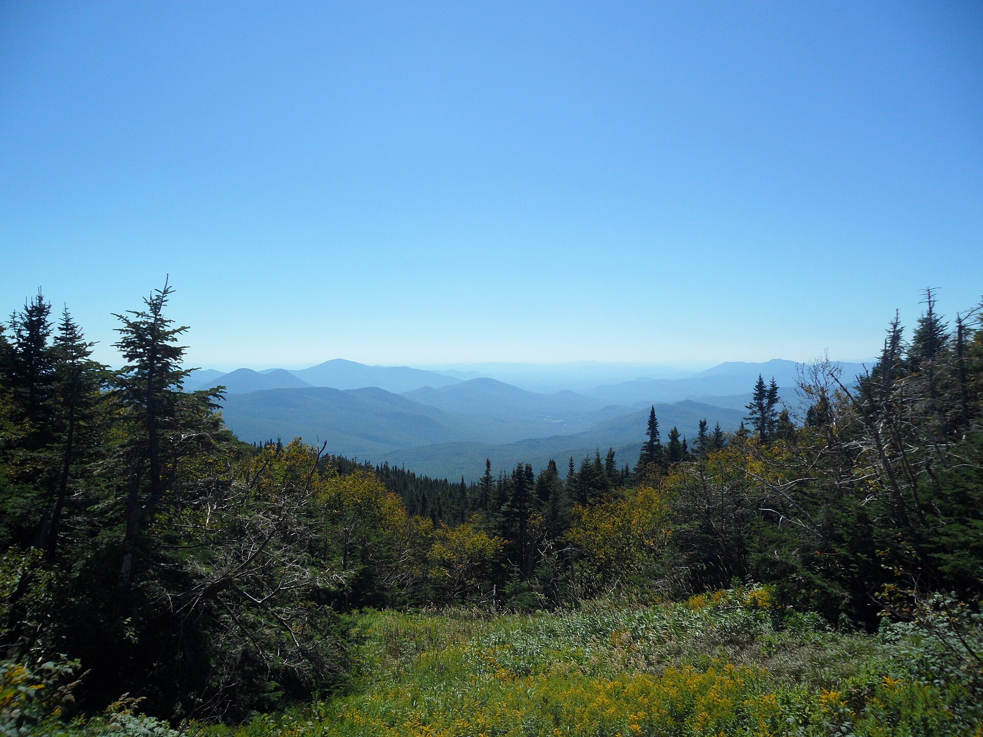
Trail overview
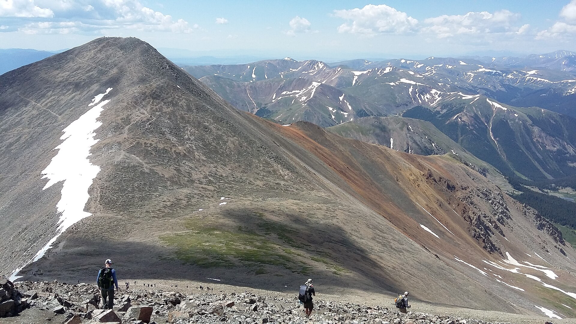
The Appalachian Trail, usually shortened to the A.T., is a long-distance footpath running for 2,197.9 miles in 2026 from Springer Mountain, Georgia, to Katahdin, Maine.
It crosses 14 states, passes through eight national forests and six National Park Service units, and also traverses numerous state parks, forests, and game lands. The official mileage is updated each year to reflect relocations, detours, and measurement changes.
The A.T. is best understood not as a single controlled park trail, but as a long corridor managed through a partnership of federal agencies, state agencies, the Appalachian Trail Conservancy, and local trail-maintaining clubs. This makes local rules, permits, parking arrangements, seasonal closures, and trail conditions especially important when planning a hike.
Ways to hike the Appalachian Trail
Day hiking
The simplest way to experience the Trail. Hikers choose a short section, usually from a road crossing, trailhead, or nearby town, and return the same day. It is the best option for first-time visitors, families, and anyone wanting a low-commitment introduction to the Trail.
Backpacking
Spending at least one night on the Trail, carrying food, shelter, clothing, and safety equipment. New backpackers should begin with a short one- or two-night trip close to home, with modest daily mileage, before attempting longer sections.
Section hiking
Completing the Trail in separate trips over more than one year. Some section hikers finish the entire A.T.; others simply use the approach as a flexible way to explore different regions. Rugged northern sections, especially in New Hampshire and Maine, are usually better left until a hiker has more experience.
Thru-hiking
Hiking the entire A.T. within 12 months or less. Most thru-hikers take around six months, although only about one in three who set out complete the full Trail. Anyone who completes the whole A.T., whether as a thru-hiker or section hiker, may apply for recognition as a 2,000-miler.
ATC — Day hiking and backpacking · ATC — Thru and section hiking
Choosing a long-distance direction
| Route style | Direction | Guidebook notes |
|---|---|---|
| Northbound / NOBO | Georgia to Maine | The most popular option. Most hikers start between late February and mid-April. Expect crowds early, cold weather at the start, summer heat in the Mid-Atlantic, and the need to reach Katahdin before Baxter State Park’s normal mid-October closure period. |
| Southbound / SOBO | Maine to Georgia | A much tougher beginning. Hikers start with remote, rugged Maine terrain and fewer early resupply options. Best suited to experienced and fit hikers. |
| Flip-flop | Starts somewhere in the middle | A flexible option that can reduce crowding, offer milder weather, and allow hikers to begin on comparatively easier terrain. |
Source: ATC — Thru and section hiking
Trail markings and navigation
The A.T. is marked with white rectangular blazes. A double white blaze signals that the hiker should pay close attention, usually because of a turn, junction, or change in route. Blue blazes mark side trails, shelter access trails, and other non-A.T. routes.
If no blaze appears after a few hundred yards, the safest response is to retrace steps to the last confirmed blaze. If a map or guidebook seems to disagree with the blazes, the official guidance is to follow the blazes, since the Trail may have been relocated after the printed resource was produced.
In federally designated wilderness areas, blazing is intentionally less frequent; above treeline, rock cairns may be used instead.
A current map or guidebook remains essential. The ATC/NPS interactive map is useful for planning, but it is a general reference only; signs, closures, and current trail updates should take priority in the field.
ATC — A.T. Basics · ATC — Interactive map
Planning a trip
Good A.T. planning begins with the type of hike, the season, the intended region, and the hiker’s experience level. Conditions vary widely between Georgia, the Mid-Atlantic, New England, and Maine. Even a short hike can involve steep climbs, rocky tread, stream crossings, snow, heat, or sudden weather changes.
Parking areas vary from paved lots to rough roadside pull-offs. Restrooms are uncommon, popular lots can fill early, and vehicles should be locked with valuables removed from sight.
Hikers using shuttles should arrange them in advance; rideshare services are only realistic near some populated areas, and mobile phone coverage is not reliable along much of the Trail.
Accessibility varies sharply. Wheelchairs meeting the ADA definition are allowed wherever foot travel is allowed, but much of the A.T. is rocky, narrow, uneven, steep, or crossed by bridges that may not suit all mobility devices.
Some more accessible sections do exist, including:
- Osborne Farm, Tennessee
- Wayah Bald, North Carolina
- Falls Village, Connecticut
- Bear Mountain, New York
- Thundering Falls, Vermont
ATC — Day hiking and backpacking · ATC — Transportation and parking · ATC — Accessibility
Permits, fees, and local rules
There is no single permit for the entire Appalachian Trail. Most areas do not require a permit or fee for ordinary hiking, but several major locations have specific rules.
| Area | What to expect |
|---|---|
| Great Smoky Mountains National Park | Overnight permits are required. Thru-hikers have a specific permit category if they begin and end at least 50 miles outside the park and stay only on the A.T. inside it. Vehicle parking tags are also required. |
| Shenandoah National Park | Backcountry permits are required for overnight camping, and park entrance fees apply. |
| Baxter State Park | Long-distance hikers need a free Long Distance Hiker Permit before climbing Katahdin. Camping and some parking arrangements have separate fees or reservations. |
Rules also differ on camping, fires, group size, food storage, smoking, animals, and special uses. Bicycles, e-bikes, and horses are generally prohibited on the A.T., with only limited exceptions in specific places.
Source: ATC — Permits and fees
Essential skills and equipment
Even for short trips, hikers should be prepared to navigate, manage weather changes, carry water, deal with hygiene and waste, and respond to injury or emergency.
For overnight trips, planning must also cover food, shelter, warmth, campsite choice, and legal camping locations.
Shelters along the A.T. are usually simple, rustic, three-sided structures. They should not be treated as guaranteed accommodation, and hikers still need their own shelter system.
The ATC recommends bear canisters as the most reliable and flexible method of storing food for hikers who camp overnight.
Source: ATC — Essential skills
Finding a hike
The ATC/NPS Interactive Map can be used to explore trailheads, parking, shelters, scenic viewpoints, A.T. Communities, and maintaining club sections.
It is useful for building a route plan, but it should be paired with current trail updates and an up-to-date map or guidebook.
The National Park Service also provides an A.T. mapping page, including an interactive web app showing the treadway, side trails, shelters, campsites, privies, parking, scenic vistas, and trail club sections.
ATC — Interactive map · NPS — Appalachian Trail maps
Registering a long-distance hike
Long-distance hikers are encouraged to register through ATCamp.
Registration is voluntary, but it helps the ATC and its partners understand use patterns, reduce overcrowding, and send urgent trail alerts.
ATCamp does not reserve shelter space and does not replace required permits.
Registered long-distance hikers may also collect an A.T. hang tag from designated locations, which helps identify them as part of the long-distance hiking community.
Source: ATC — Register your hike
Stewardship and trail etiquette
The A.T. is a heavily used backcountry corridor, so low-impact behaviour is central to the experience.
Hikers are expected to follow Leave No Trace principles:
- Plan ahead.
- Travel and camp on durable surfaces.
- Dispose of waste properly.
- Leave natural and cultural features in place.
- Minimise fire impacts.
- Respect wildlife.
- Be considerate of other visitors.
Practical examples include using existing campsites, burying human waste in a cathole 6 – 8 inches deep and well away from water, packing out rubbish and food waste, keeping dogs leashed where appropriate, and storing food securely.
The A.T. Hiker Pledge presents these responsibilities as part of protecting the Trail for future users.
ATC — Leave No Trace · ATC — A.T. Hiker Pledge
Emergencies and incident reporting
For any medical emergency, law-enforcement issue, immediate threat, or life-threatening situation, hikers should call 911 as soon as possible. Location details should include the nearest road, trailhead, town, shelter, county, or other landmark, rather than relying only on northbound mileage.
If phone calls fail, hikers may be able to text someone else to contact emergency services or use an SOS device.
Once safe, hikers can report non-emergency incidents to the ATC using its incident reporting system.
Bear incidents should also be reported, especially if a bear enters a campsite, takes or attempts to take food, damages property, follows people, behaves aggressively, or acts unusually.
Source: ATC — Incident reporting
Route files, maps, PDFs, GPX and KML
| Resource | Type | Notes | Link |
|---|---|---|---|
| ATC/NPS Interactive Map | Online map | Shows the Trail, parking, shelters, communities, clubs, and other planning features. Intended as a reference, not a substitute for current signs, trail updates, and guidebooks. | Open map |
| NPS Appalachian Trail Maps page | Online map hub | Links to the NPS interactive web app and the official park map PDF. | Open page |
| Official NPS Appalachian Trail Park Map PDF | Official downloadable PDF map of the Appalachian National Scenic Trail. | Download PDF | |
| NPS / ArcGIS A.T. data services | GIS data endpoint | Public ArcGIS services include A.T. centreline and facilities layers. The A.T. Treadway layer describes the main path of the Trail. This is GIS data rather than a simple GPX or KML download. | Open services |
| Third-party GPX/KML download from The Trek | GPX/KML, unofficial | A third-party article offers GPX and KML downloads, but it dates from 2016 and should be treated cautiously because the official A.T. route mileage is updated annually. | Open article |
No current official ATC or NPS GPX/KML download was identified from the ATC "A.T. Basics" page or its linked planning pages. The official map and GIS resources should be treated as more authoritative than older third-party route files.
Resource links last checked against the ATC "A.T. Basics" page when this guide was written. Verify with the official sites before relying on any link for a hike.