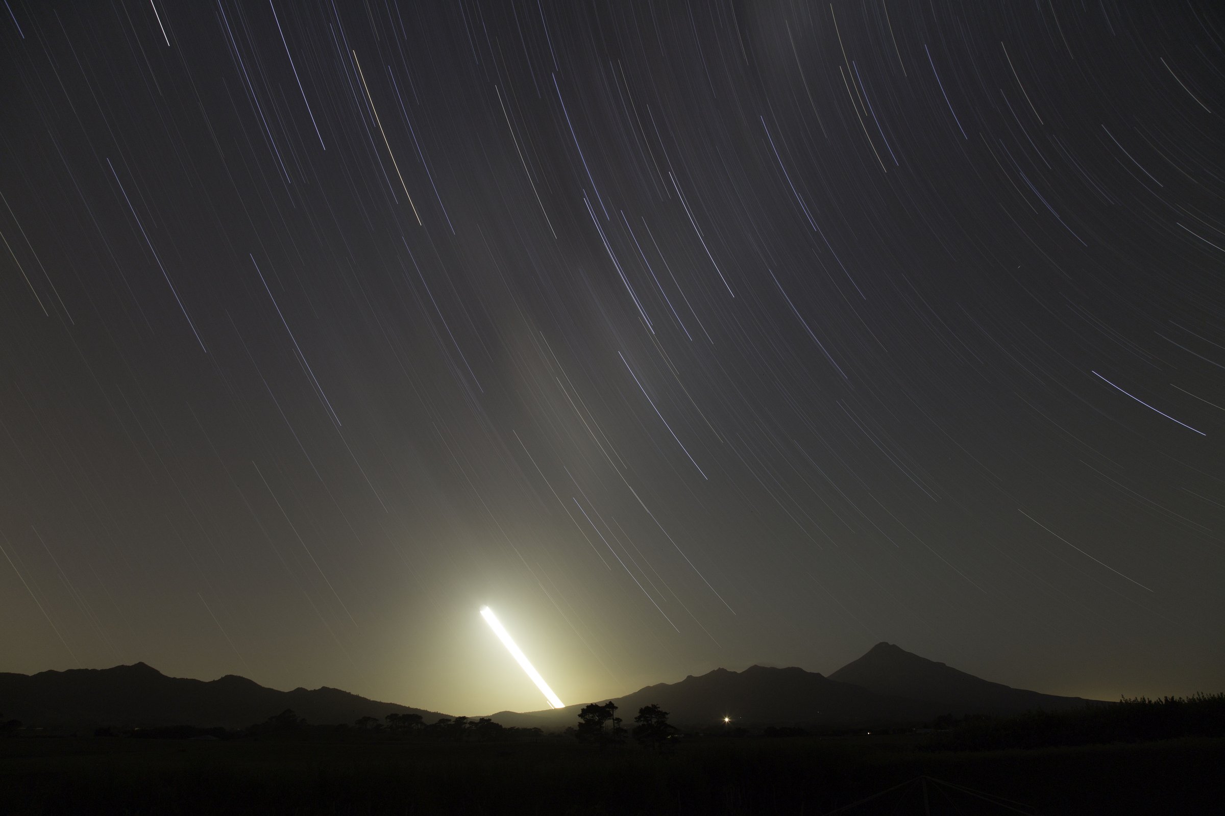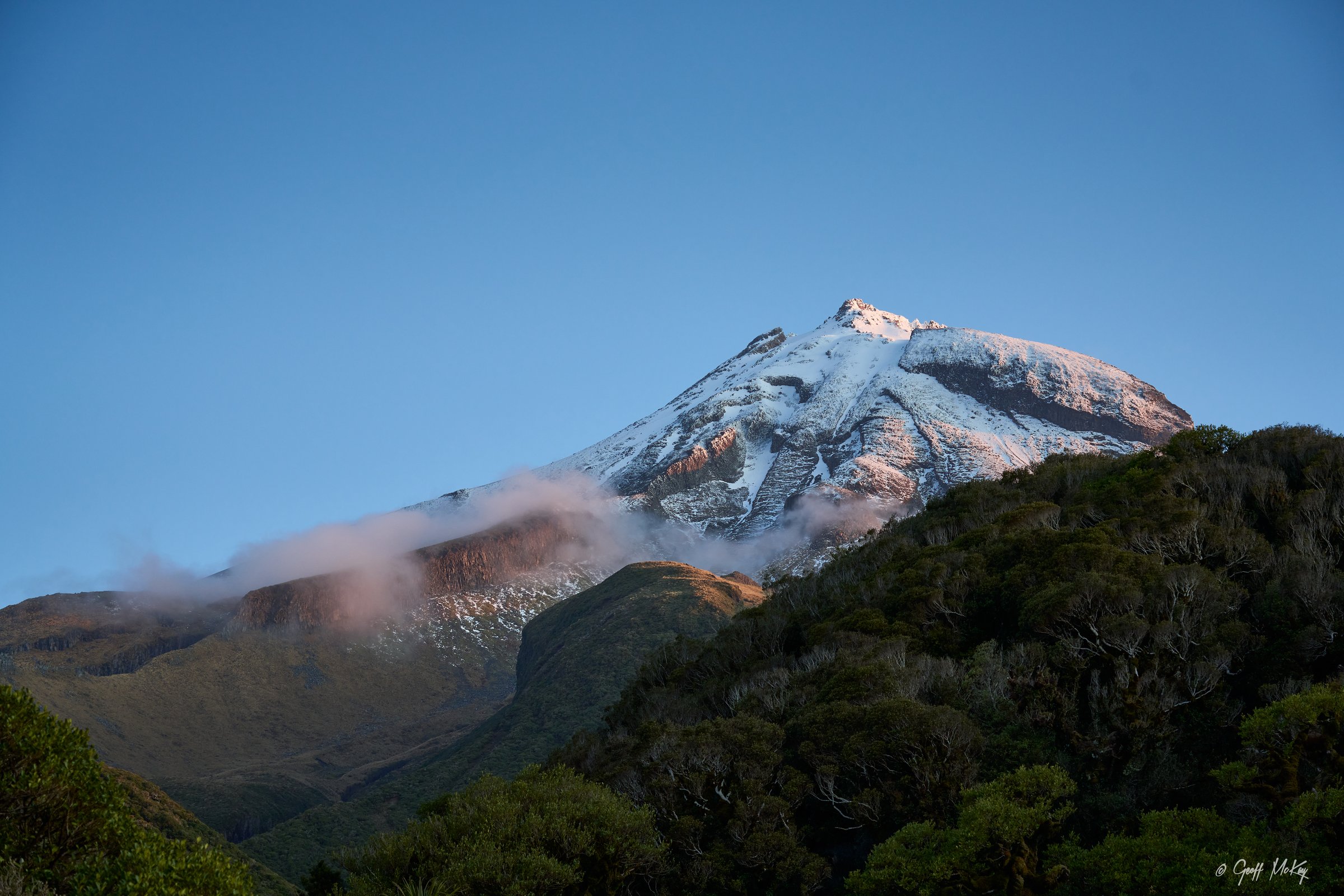
Regional overview
The Pouākai Range forms the older, eroded volcanic complex north-west of Taranaki Maunga. Its signature routes cross wet forest, boardwalked alpine swamp, exposed slips, lava cliffs, tarns and open ridges with long views back to Taranaki Maunga and the coast.
The main access points are North Egmont, Mangorei Road, Kaiauai car park and, for longer variants, the Holly Hut / Ahukawakawa section of the Pouākai Circuit. DOC treats these tracks as backcountry tramping routes: rough, muddy, exposed in places, and subject to fast weather changes.
The practical day-hiking season is spring to autumn in settled weather. Snow and ice make the North Egmont-Holly Hut section much more serious in winter, with avalanche equipment and alpine skills required when snow conditions exist.
Selection rationale
The selected hikes cover the complete Pouākai Crossing, the popular Mangorei tarns route, the Pouākai Trig viewpoint, the Holly Hut / Te Rere-o-Tahurangi Falls approach, and the Henry Peak / Kaiauai side of the range.
Summary table
| # | Hike | Country | Route type | Distance | Gain | Max elevation | Difficulty |
|---|---|---|---|---|---|---|---|
| 1 | Pouākai Crossing | New Zealand | Point-to-point | 19 km | c. 1,440 m with Pouākai Trig side trip | Advanced | |
| 2 | Mangorei Track to Pouākai Tarns | New Zealand | Out-and-back | c. 11.4 km return | Intermediate | ||
| 3 | Pouākai Trig from Mangorei Road | New Zealand | Out-and-back | c. 13 km return | 1,440 m | Advanced | |
| 4 | Holly Hut and Te Rere-o-Tahurangi Falls from North Egmont | New Zealand | Out-and-back | c. 16-17 km incl. falls side trip | Advanced | ||
| 5 | Henry Peak and Kaiauai Track Traverse | New Zealand | Point-to-point | c. 13 km from Pouākai Hut to North Egmont | 1,220 m | Advanced |
1. Pouākai Crossing
Snapshot
Itinerary
From North Egmont, the route follows Veronica Loop / Holly Hut Track past Ambury Monument and the exposed alpine section beneath the Dieffenbach Cliffs and Boomerang Slip. It descends to Holly Hut, crosses Ahukawakawa wetland on boardwalk, climbs to the Pouākai Track junction, visits the tarns, then descends via Pouākai Hut and Mangorei Track to Mangorei Road.
Why it is essential
This is the headline day crossing of the Pouākai Range, combining lava cliffs, waterfall access, alpine swamp, tarns, coastal views and the classic view back to Taranaki Maunga.
Equipment
- Sturdy boots
- Warm and waterproof layers
- Food
- Water
- Map/GPS and navigation backup
- Headtorch
- Sun protection
- PLB recommended
- In winter/snow: ice axe, crampons, snow gaiters, goggles and avalanche equipment if avalanche risk is present
Hazards and notes
- Boomerang Slip and other rockfall zones must be crossed without stopping.
- Several stream beds can rise quickly.
- The alpine section can be snow/ice affected and significantly more serious in winter.
- Stay on boardwalks near the tarns and do not enter the pools.
- No freedom camping at North Egmont road end.
- No dogs.
GPX / KML links
| Source | URL | Format / access | Reuse status |
|---|---|---|---|
| DOC: Pouākai Crossing | doc.govt.nz | Official route page with map | DOC website terms; no GPX found |
| DOC: Pouākai Circuit | dxcprod.doc.govt.nz | Official route page with map | DOC website terms; source map only |
External links
2. Mangorei Track to Pouākai Tarns
Snapshot
Itinerary
The track begins near the end of Mangorei Road, follows a private driveway access to the bush edge, then climbs steadily through regenerating forest, mountain cedar and low alpine scrub to Pouākai Hut. From the hut, a short climb reaches the Ahukawakawa view, then the route turns left to the Pouākai tarns.
Why it is essential
This is the most direct day route to the Pouākai tarns and the most accessible way to experience the range’s boardwalk, alpine wetland margins and Taranaki Maunga views.
Equipment
- Sturdy shoes or boots
- Waterproof layer
- Warm layer
- Water
- Food
- Map/GPS
- Sun protection
- Toilet paper if using hut toilet facilities
Hazards and notes
- The route involves sustained uphill walking and extensive wooden steps/boardwalk that can be slippery or a tripping hazard.
- Snow and ice can affect higher parts in winter.
- Keep to boardwalks near the tarns.
- No camping around Pouākai Hut or tarns.
- No dogs.
GPX / KML links
| Source | URL | Format / access | Reuse status |
|---|---|---|---|
| DOC: Mangorei Track | dxcprod.doc.govt.nz | Official route page with map | DOC website terms; no GPX found |
| DOC: Pouākai Hut | doc.govt.nz | Hut/access page | DOC website terms; source map only |
External links
3. Pouākai Trig from Mangorei Road
Snapshot
Itinerary
Follow Mangorei Track to Pouākai Hut and continue to the Pouākai Track junction. Turn toward Pouākai Trig on a more rugged track, climbing to the 1,440 m viewpoint, then return by the same route to Mangorei Road.
Why it is essential
Pouākai Trig is the main high viewpoint of the range, adding a true ridge/summit objective to the popular tarns route.
Equipment
- Sturdy boots
- Waterproof and warm layers
- Food
- Water
- Map/GPS
- Sun protection
- Headtorch for a long day
Hazards and notes
- The trig track is rugged, muddy and eroded in places.
- Weather exposure increases above the hut.
- Snow/ice may make the route more serious in winter.
- No dogs.
GPX / KML links
| Source | URL | Format / access | Reuse status |
|---|---|---|---|
| DOC: Mangorei Track | dxcprod.doc.govt.nz | Official route page with map | DOC website terms; no GPX found |
| DOC: Pouākai Crossing | doc.govt.nz | Official route page with Trig side-trip description | DOC website terms; source map only |
External links
4. Holly Hut and Te Rere-o-Tahurangi Falls from North Egmont
Snapshot
Itinerary
The route starts on Veronica Loop / Holly Hut Track, climbs past Ambury Monument and continues beneath the Dieffenbach Cliffs, crossing Boomerang Slip and descending to the Ahukawakawa junction. A short branch reaches Holly Hut. From the hut, the Bells Falls side track leads to Te Rere-o-Tahurangi Falls before returning the same way.
Why it is essential
This route isolates the northern Pouākai alpine approach and the major waterfall side trip without requiring the full 19 km crossing.
Equipment
- Sturdy boots
- Waterproof and warm layers
- Food
- Water
- Map/GPS and navigation backup
- Headtorch
- PLB recommended
- Winter/snow conditions require ice axe, crampons and avalanche equipment if risk is present
Hazards and notes
- Rockfall zones.
- Exposed alpine weather.
- Dry stream beds that can rise quickly.
- Unbridged Minarapa Stream near Holly Hut.
- Winter snow and ice make the exposed section much more serious.
- No dogs.
GPX / KML links
| Source | URL | Format / access | Reuse status |
|---|---|---|---|
| DOC: Pouākai Circuit | dxcprod.doc.govt.nz | Official route page with map | DOC website terms; no GPX found |
| DOC: Pouākai Crossing | doc.govt.nz | Official route page with map | DOC website terms; source map only |
External links
5. Henry Peak and Kaiauai Track Traverse
Snapshot
Itinerary
From Pouākai Hut, return to the Pouākai Track junction, traverse open tussock past the tarns and around Maude Peak, climb Henry Peak, then descend the Kaiauai Track past Kaiauai Shelter, Kai Auahi Stream and Waiwhakaiho River before returning toward North Egmont via Ram Track.
Why it is essential
This is the Pouākai Range’s longer ridge-and-forest traverse, including Henry Peak and the Kaiauai descent, and represents the less compact side of the Pouākai Circuit.
Equipment
- Sturdy boots
- Warm and waterproof layers
- Food
- Water
- Map/GPS and navigation backup
- Headtorch
- PLB recommended
Hazards and notes
- Open tussock, muddy and uneven surfaces.
- Tree roots and embedded rocks.
- Tributary crossings that can flood.
- Best treated as a fit-party day route with transport planned in advance.
- No dogs.
GPX / KML links
| Source | URL | Format / access | Reuse status |
|---|---|---|---|
| DOC: Pouākai Circuit | dxcprod.doc.govt.nz | Official route page with map | DOC website terms; no GPX found |
External links
Missing data / follow-up work
- Official GPX/KML downloads were not found.
- Total ascent/descent is unresolved for all five selected Pouākai routes.
- Henry Peak / Kaiauai route needs stronger standalone day-hike source confirmation and open photo sourcing.
- Exact CC variants for DOC-hosted Creative Commons image candidates need confirmation.
External links
| Source | URL |
|---|---|
| DOC — Pouākai Crossing | doc.govt.nz |
| DOC — Mangorei Track | dxcprod.doc.govt.nz |
| DOC — Pouākai Hut | doc.govt.nz |
| DOC — Pouākai Circuit | dxcprod.doc.govt.nz |
| DOC — Taranaki Crossing project | doc.govt.nz |