Regional overview
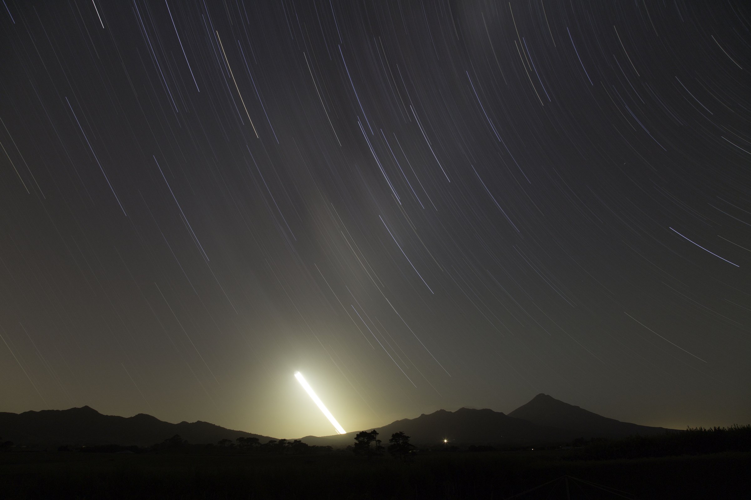
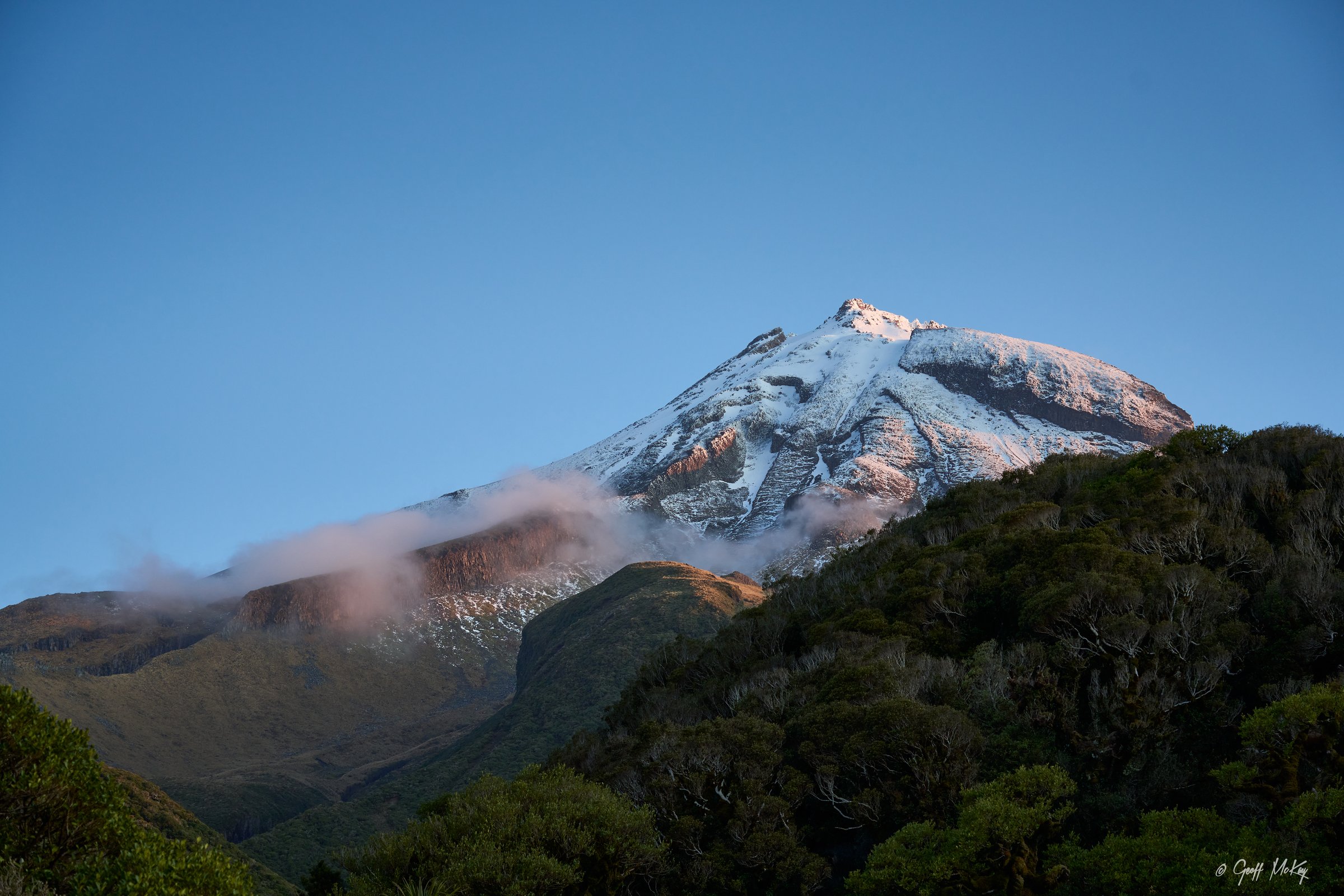
Mount Taranaki / Taranaki Maunga is the dominant young cone of Te Papa-Kura-o-Taranaki, formerly Egmont National Park. Its walking character changes rapidly with altitude: lower routes pass through wet podocarp-broadleaf and montane forest, mid-level routes cross steep stream gullies and old lava-flow terrain, and upper routes become exposed volcanic scree, rock, snow and ice.
The main day-hike access points are North Egmont, Dawson Falls, East Egmont / Stratford Plateau and the Dawson Falls road end. DOC emphasises fast-changing weather, unbridged stream crossings, winter snow/ice, and alpine conditions on the summit and Panitahi routes. Dogs and other pets are not allowed on these tracks.
The usual non-mountaineering season for the summit is January to April. Panitahi / Syme Hut is generally a summer objective from December to April. Lower forest and waterfall routes can be walked in more seasons, but heavy rain can make streams impassable.
Selection rationale
The selection balances the classic summit climb, the major secondary cone, an alpine lake circuit, a North Egmont hut-and-forest circuit, and a Dawson Falls / Stratford Plateau forest-and-lava-flow circuit. Pouākai-specific routes are kept for the separate Pouākai Range entry.
Summary table
| # | Hike | Country | Route type | Distance | Gain | Max elevation | Difficulty |
|---|---|---|---|---|---|---|---|
| 1 | Taranaki Maunga Summit Climb | New Zealand | Out-and-back | 12.6 km | c. 1,600 m | 2,518 m | Advanced / expert |
| 2 | Panitahi / Fanthams Peak and Syme Hut Track | New Zealand | Out-and-back | Not stated by DOC; 5-6 hr return | 1,966 m | Advanced / expert | |
| 3 | Mangōraukawa / Lake Dive Loop | New Zealand | Loop | 13 km | c. 1,500 m | Advanced | |
| 4 | Maketawa Hut Circuit | New Zealand | Loop | 6.5 km | Advanced | ||
| 5 | Dawson Falls — Stratford Plateau — Enchanted — Waingongoro Circuit | New Zealand | Loop | 7.8 km | 1,172 m | Advanced |
1. Taranaki Maunga Summit Climb
Snapshot
Itinerary
The climb starts at North Egmont and follows the poled summit route past Tahurangi Lodge. Above the lodge the route becomes progressively steeper, crossing scoria slopes before reaching the Lizard, a rocky ridge where hands may be needed. The route then crosses a narrow ledge into the crater and makes the final climb to the summit area. Descent is by the same route.
Why it is essential
This is the defining high-level day route on Taranaki Maunga and the only selected hike in this entry that reaches the volcanic summit area. It represents the exposed alpine character of the cone and the seriousness of the mountain in poor weather or snow.
Equipment
- Sturdy boots
- Warm and waterproof layers
- Hat and gloves
- 2-3 litres of water
- Food
- Map/GPS and navigation backup
- Headtorch
- PLB or reliable emergency communication
- Sun protection
- Walking poles and gaiters recommended
- Crampons, ice axe, helmet and avalanche equipment when snow/ice or avalanche risk is present
Hazards and notes
- DOC warns that the crater contains ice all year and that crampons and/or an ice axe may be required at any time.
- From May to December the mountain is snow and ice covered and requires mountaineering skills.
- Rockfall, steep drop-offs, low cloud, strong wind, sub-zero windchill and navigation difficulty are major hazards.
- Do not stand directly on the summit peak.
- Do not camp, cook, toilet or litter in the summit area.
- No dogs.
GPX / KML links
| Source | URL | Format / access | Reuse status |
|---|---|---|---|
| DOC: Taranaki Maunga Summit Climb | doc.govt.nz | Official route page with map | DOC website terms; no GPX found; route geometry needs independent/manual creation |
| DOC: summit brochure (PDF) | doc.govt.nz | PDF map/brochure | DOC website terms; source map only |
| AllTrails: Taranaki Maunga Summit Track | alltrails.com | Trail database map | AllTrails terms; secondary route source; GPX reuse not verified |
External links
- DOC — Taranaki Maunga Summit Climb
- DOC — Taranaki Maunga Summit Climb brochure (PDF)
- AllTrails — Taranaki Maunga Summit Track
2. Panitahi / Fanthams Peak and Syme Hut Track
Snapshot
Itinerary
From Dawson Falls the track climbs through forest, passing the Lower Lake Dive Track junction, Hillary Seat, Hooker Shelter and the Kapuni Lodge Track. Above about 1,600 m, poles mark the route over steep scoria slopes to Panitahi and Syme Hut.
Why it is essential
Panitahi is the major secondary cone on Taranaki Maunga and gives a strenuous but shorter alternative to the main summit climb. It is the classic high route from Dawson Falls.
Equipment
- Sturdy boots
- Warm and waterproof layers
- Food
- 2-3 litres of water
- Map/GPS
- Headtorch
- Sun protection
- Walking poles and gaiters recommended
- In winter or icy conditions, ice axe and crampons (with the skills to use them)
Hazards and notes
- The upper route is very exposed and can be impassable in bad weather.
- Snow and ice from May to November require mountaineering equipment and experience.
- There is no water on the track.
- No dogs.
GPX / KML links
| Source | URL | Format / access | Reuse status |
|---|---|---|---|
| DOC: Panitahi and Syme Hut Track | doc.govt.nz | Official route page with map | DOC website terms; no GPX found |
| Plan My Walk: Panitahi and Syme Hut Track | planmywalk.nz | Planning/source map | Plan My Walk terms; route-file reuse unresolved |
External links
3. Mangōraukawa / Lake Dive Loop
Snapshot
Itinerary
From Dawson Falls, the upper track follows the Panitahi / Fanthams Peak Track before branching toward Lake Dive. It climbs past Hillary Seat, Hooker Shelter and Kapuni Lodge Track, then traverses exposed alpine tussock before descending steeply to Mangōraukawa / Lake Dive. The lower track returns through forest, undulating terrain and multiple unbridged stream crossings.
Why it is essential
This is the best selected day route to a named alpine lake on Taranaki Maunga and shows both the open volcanic flanks and the wet forested lower slopes.
Equipment
- Sturdy boots
- Warm and waterproof layers
- Food
- Water
- Map/GPS and navigation backup
- Headtorch
- Sun protection
- Trekking poles
- Ice axe and crampons for the exposed upper track in winter conditions
Hazards and notes
- The upper track is exposed and not recommended in winter unless equipped for snow and ice.
- The lower track has many unbridged streams that can become impassable after heavy rain.
- Expect overgrown sections and erosion.
- No dogs.
GPX / KML links
| Source | URL | Format / access | Reuse status |
|---|---|---|---|
| DOC: Lake Dive tracks | dxcprod.doc.govt.nz | Official route page with map | DOC website terms; no GPX found |
| DOC: Dawson Falls and East Egmont walks brochure (PDF) | doc.govt.nz | PDF map/brochure | DOC website terms; source map only |
External links
4. Maketawa Hut Circuit
Snapshot
Itinerary
The circuit combines the lower Maketawa Track and the higher Translator Road route between North Egmont and Maketawa Hut. The lower route passes through forest with steps and small ladders; the higher route follows a gravel 4WD track with open views toward Taranaki Maunga.
Why it is essential
This is the compact North Egmont day circuit that gives a hut objective, forest travel, and close views of the mountain without entering the technical summit zone.
Equipment
- Sturdy footwear with good grip
- Waterproof layer
- Warm layer
- Food
- Water
- Map/GPS
- Sun protection
- Headtorch recommended if starting late
Hazards and notes
- DOC describes the circuit as rough and overgrown in parts.
- Tree roots and slippery sections.
- Several unbridged stream crossings that rise rapidly after heavy rain.
- No dogs.
GPX / KML links
| Source | URL | Format / access | Reuse status |
|---|---|---|---|
| DOC: Maketawa Hut Circuit | dxcprod.doc.govt.nz | Official route page with map | DOC website terms; no GPX found |
| Herenga ā Nuku: Maketawa Hut Circuit | herengaanuku.govt.nz | PDF/map source | Terms not checked; reuse unresolved |
External links
5. Dawson Falls — Stratford Plateau — Enchanted — Waingongoro Circuit
Snapshot
Itinerary
From Dawson Falls, the route uses the Wilkies Pools Loop Track, continues toward Stratford Plateau, descends the steep Enchanted Track, crosses an unbridged stream, passes near Waingongoro Hut and returns via the Ridge Track junction to Dawson Falls.
Why it is essential
This circuit is a concentrated Dawson Falls-area route combining lava-sculpted pools, montane forest, the high Stratford Plateau access area, stream crossings, and the Waingongoro valley.
Equipment
- Sturdy boots
- Waterproof layer
- Warm layer
- Food
- Water
- Map/GPS
- Sun protection
- Trekking poles useful on steeper and rougher sections
Hazards and notes
- Unbridged stream crossings can be impassable after heavy rain.
- DOC warns of old mining excavations near the track.
- Erosion and overgrown sections.
- A high swingbridge that may challenge some walkers.
- No dogs.
GPX / KML links
| Source | URL | Format / access | Reuse status |
|---|---|---|---|
| DOC: Dawson Falls — Stratford Plateau tracks | doc.govt.nz | Official route page with map | DOC website terms; no GPX found |
| DOC: Dawson Falls and East Egmont walks brochure (PDF) | doc.govt.nz | PDF map/brochure | DOC website terms; source map only |
External links
- DOC — Dawson Falls — Stratford Plateau tracks
- DOC — Dawson Falls and East Egmont walks brochure (PDF)
Missing data / follow-up work
- Official GPX/KML downloads were not found for these five routes.
- Elevation gain/loss is unresolved for Panitahi, Lake Dive, Maketawa and Dawson Falls — Stratford Plateau.
- Exact Creative Commons licence variants need confirmation for DOC-hosted CC-labelled images.
- Lake Dive needs a licence-compatible route-specific photo.
External links
| Source | URL |
|---|---|
| DOC — Taranaki Maunga Summit Climb | doc.govt.nz |
| DOC — Taranaki Maunga Summit Climb brochure (PDF) | doc.govt.nz |
| DOC — Panitahi and Syme Hut Track | doc.govt.nz |
| DOC — Lake Dive tracks | dxcprod.doc.govt.nz |
| DOC — Maketawa Hut Circuit | dxcprod.doc.govt.nz |
| DOC — Dawson Falls — Stratford Plateau tracks | doc.govt.nz |
| DOC — Dawson Falls and East Egmont walks brochure (PDF) | doc.govt.nz |
| Plan My Walk — Panitahi and Syme Hut Track | planmywalk.nz |
| Herenga ā Nuku — Maketawa Hut Circuit (PDF) | herengaanuku.govt.nz |
| AllTrails — Taranaki Maunga Summit Track | alltrails.com |