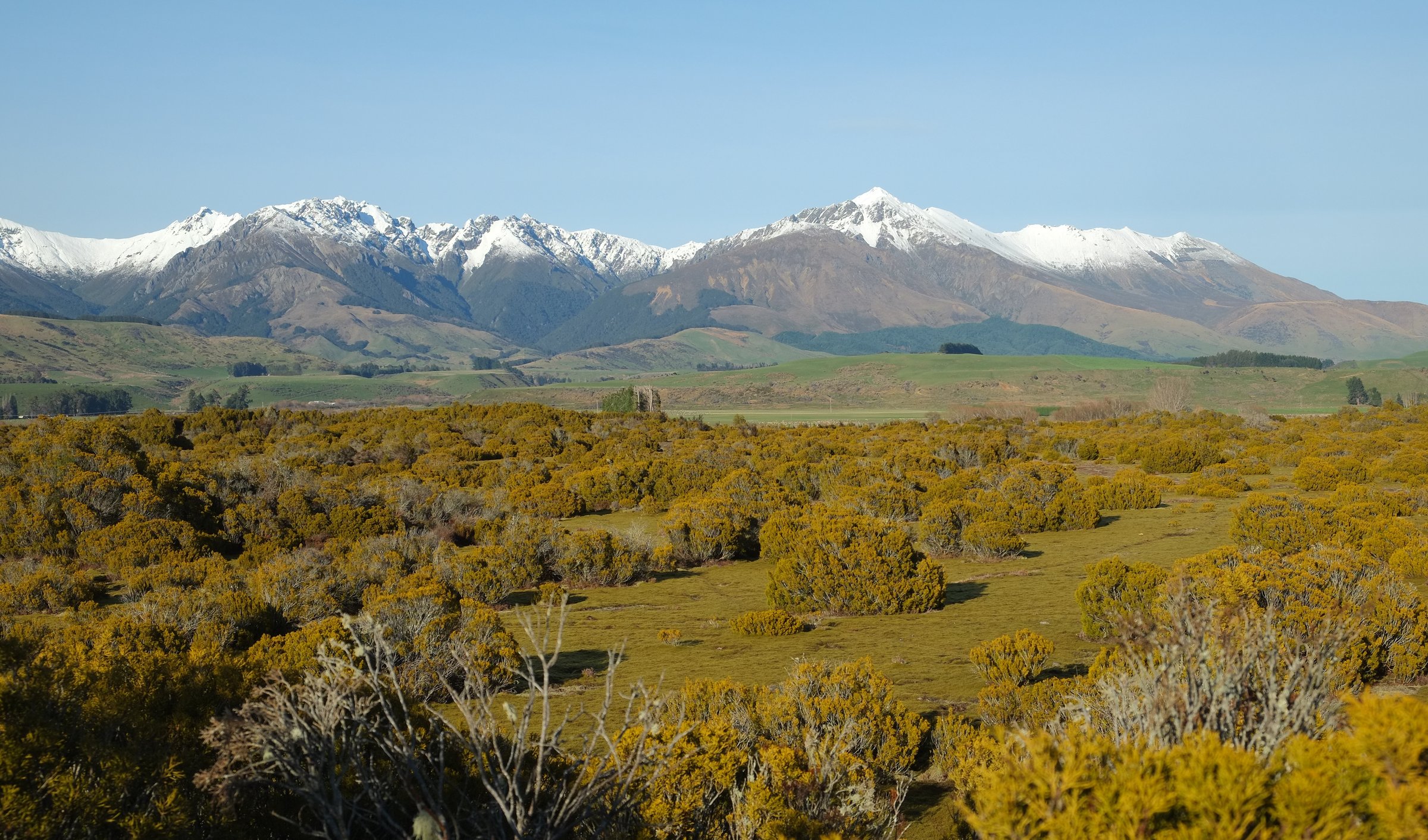
Regional overview
The southern Takitimus have a rougher, more remote walking character than the lower Aparima entrance: Wairaki River headwaters, Telford, Redcliff, Beaumont Station access, open tops, beech/tussock transitions and small basic huts. DOC warns about limited formed legal access, private land permissions, unbridged rivers and avalanche terrain. Te Araroa supplies the most coherent north-south route through the southern range.
This is not a region with five straightforward public loop day-hikes. The list below gives exactly five day objectives or day-sized sections, with candidate-only labels where a route is not publication-ready.
Selection rationale
The selection covers the core southern route line from Aparima to Lower Wairaki and Telford, the DOC Wairaki headwaters route, and one Redcliff candidate retained as an unresolved hut objective. Together they represent the southern range while avoiding invented statistics.
Summary table
| # | Hike | Country | Route type | Distance | Gain | Max elevation | Difficulty |
|---|---|---|---|---|---|---|---|
| 1 | Aparima Hut to Lower Wairaki Hut | New Zealand | Point-to-point | 14 km | Expert | ||
| 2 | Lower Wairaki Hut to Telford Campsite | New Zealand | Point-to-point | 8-12.2 km | 555 m secondary | 1,008 m secondary | Expert / hard |
| 3 | Aparima Hut to Telford Campsite via Lower Wairaki Hut | New Zealand | Point-to-point | 22 km | 1,007 m secondary | 1,008 m secondary | Expert / hard |
| 4 | Lower Wairaki Hut to Upper Wairaki Hut Route | New Zealand | Out-and-back or hut-to-hut | 17 km return | Expert | ||
| 5 | Redcliff Hut navigation objective | New Zealand | Candidate out-and-back | Expert / candidate |
1. Aparima Hut to Lower Wairaki Hut
Snapshot
Itinerary
From Aparima Hut, Te Araroa climbs away from the Aparima system toward the Wairaki side, using ridges and old musterer-style lines before reaching Lower Wairaki Hut.
Why it is essential
This is the key north-to-south transition from the central Takitimus into the southern Wairaki / Telford country.
Equipment
- Full tramping kit
- Navigation
- Waterproofs
- Warm layers
- Headtorch
- PLB recommended
- Food and water treatment
Hazards and notes
- Official detailed elevation statistics were not found.
- Treat this as a serious backcountry route with route-finding, exposure and weather dependence.
GPX / KML links
| Source | URL | Format / access | Reuse status |
|---|---|---|---|
| Te Araroa trail maps | teararoa.org.nz | GPX/KML source page | Terms unresolved; source geometry only until rights checked |
| Te Araroa Murihiku / Southland notes | teararoa.org.nz | Official notes | Te Araroa terms; route source only |
External links
- Te Araroa — Murihiku / Southland trail notes
- Te Araroa — trail maps
- DOC — Aparima Hut
- DOC — Lower Wairaki Hut
2. Lower Wairaki Hut to Telford Campsite
Snapshot
Itinerary
From Lower Wairaki Hut, follow the Te Araroa route south toward the Telford Burn and Telford Campsite, crossing open high-country terrain.
Why it is essential
This is the most compact verified southern Takitimu high-country stage and the immediate approach to the Mount Linton Station crossing.
Equipment
- Full tramping kit
- Navigation
- Bad-weather gear
- Headtorch
- PLB recommended
Hazards and notes
- Access is logistically complex.
- Confirm Beaumont Station access, Te Araroa route updates and weather.
- Do not continue onto private Mount Linton Station sections without observing Te Araroa conditions.
GPX / KML links
| Source | URL | Format / access | Reuse status |
|---|---|---|---|
| Te Araroa trail maps | teararoa.org.nz | GPX/KML source page | Terms unresolved; source geometry only until rights checked |
| AllTrails: Lower Wairaki Hut to Telford Campsite | alltrails.com | Route page | AllTrails terms apply; GPX reuse not confirmed |
External links
- Te Araroa — Murihiku / Southland trail notes
- DOC — Lower Wairaki Hut
- AllTrails — Lower Wairaki Hut to Telford Campsite
3. Aparima Hut to Telford Campsite via Lower Wairaki Hut
Snapshot
Itinerary
This combines the Aparima to Lower Wairaki and Lower Wairaki to Telford Te Araroa stages into one strenuous day, giving a full crossing of the southern Takitimu interior.
Why it is essential
For very fit trampers, this is the strongest single-day expression of the southern Takitimu range: a long hut-to-campsite crossing over the divide toward Mount Linton.
Equipment
- Full tramping kit
- Navigation
- Waterproofs
- Warm layers
- Emergency shelter
- Headtorch
- PLB strongly recommended
Hazards and notes
- The day is long and exposed.
- Leave early, carry a headtorch and have a conservative turnaround plan.
- Secondary sources and Te Araroa times differ; use the slower time for planning.
GPX / KML links
| Source | URL | Format / access | Reuse status |
|---|---|---|---|
| Te Araroa trail maps | teararoa.org.nz | GPX/KML source page | Terms unresolved; source geometry only until rights checked |
| AllTrails: Te Araroa Aparima Hut to Telford Campsite | alltrails.com | Route page | AllTrails terms apply; GPX reuse not confirmed |
External links
- Te Araroa — Murihiku / Southland trail notes
- Te Araroa — trail maps
- AllTrails — Te Araroa Aparima Hut to Telford Campsite
4. Lower Wairaki Hut to Upper Wairaki Hut Route
Snapshot
Itinerary
From Lower Wairaki Hut, cross the river where DOC describes an orange triangle on the far side, follow the valley to a junction, then continue on the Lower Wairaki Hut to Upper Wairaki Hut Route to Upper Wairaki Hut.
Why it is essential
This is the main official route deeper into the Wairaki River headwaters, giving the southern Takitimus a distinct valley objective beyond Te Araroa’s main line.
Equipment
- Full tramping kit
- Map/GPS
- River-crossing skill
- Waterproofs
- Warm layers
- Emergency shelter
- PLB
Hazards and notes
- River crossings, no signposting at the start, access permission and slow travel make this an expert route.
- It is a candidate for publication only if current access can be confirmed.
GPX / KML links
| Source | URL | Format / access | Reuse status |
|---|---|---|---|
| DOC Lower Wairaki Hut to Upper Wairaki Hut Route | doc.govt.nz | Official route page / map | DOC terms; no GPX found; source map only |
External links
5. Redcliff Hut navigation objective
Snapshot
Itinerary
DOC verifies Redcliff Hut but states that there is no DOC track access and trampers must plan and navigate their own route. No safe, public, day-hike route line was verified in this pass.
Why it is essential
The Redcliff side is an important southern Takitimu locality, but this item should remain a placeholder until a legal public access line and route file are obtained.
Equipment
- Off-track navigation equipment
- Full tramping kit
- PLB
- River-crossing competence
Hazards and notes
- Do not publish as a standard day hike.
- Missing data includes trailhead, distance, time, access permission, route geometry and image coverage.
GPX / KML links
| Source | URL | Format / access | Reuse status |
|---|---|---|---|
| DOC Redcliff Hut | doc.govt.nz | Hut page only | DOC terms; no route file; no reusable route found |
External links
Missing data / follow-up work
- Southern Takitimu route-file availability is mostly limited to Te Araroa downloads and source maps.
- Private access through Beaumont Station and nearby landholders must be rechecked before publication.
- Redcliff remains candidate-only because DOC verifies the hut but not a maintained access track.
- Elevation gain/loss is unresolved for several DOC routes.
External links
| Source | URL |
|---|---|
| DOC — Takitimu Conservation Area | doc.govt.nz |
| DOC — Aparima Hut | doc.govt.nz |
| DOC — Lower Wairaki Hut | doc.govt.nz |
| DOC — Lower Wairaki Hut to Upper Wairaki Hut Route | doc.govt.nz |
| DOC — Redcliff Hut | doc.govt.nz |
| Te Araroa — Murihiku / Southland trail notes | teararoa.org.nz |
| Te Araroa — trail maps | teararoa.org.nz |
| AllTrails — Lower Wairaki Hut to Telford Campsite | alltrails.com |
| AllTrails — Te Araroa Aparima Hut to Telford Campsite | alltrails.com |