Regional overview
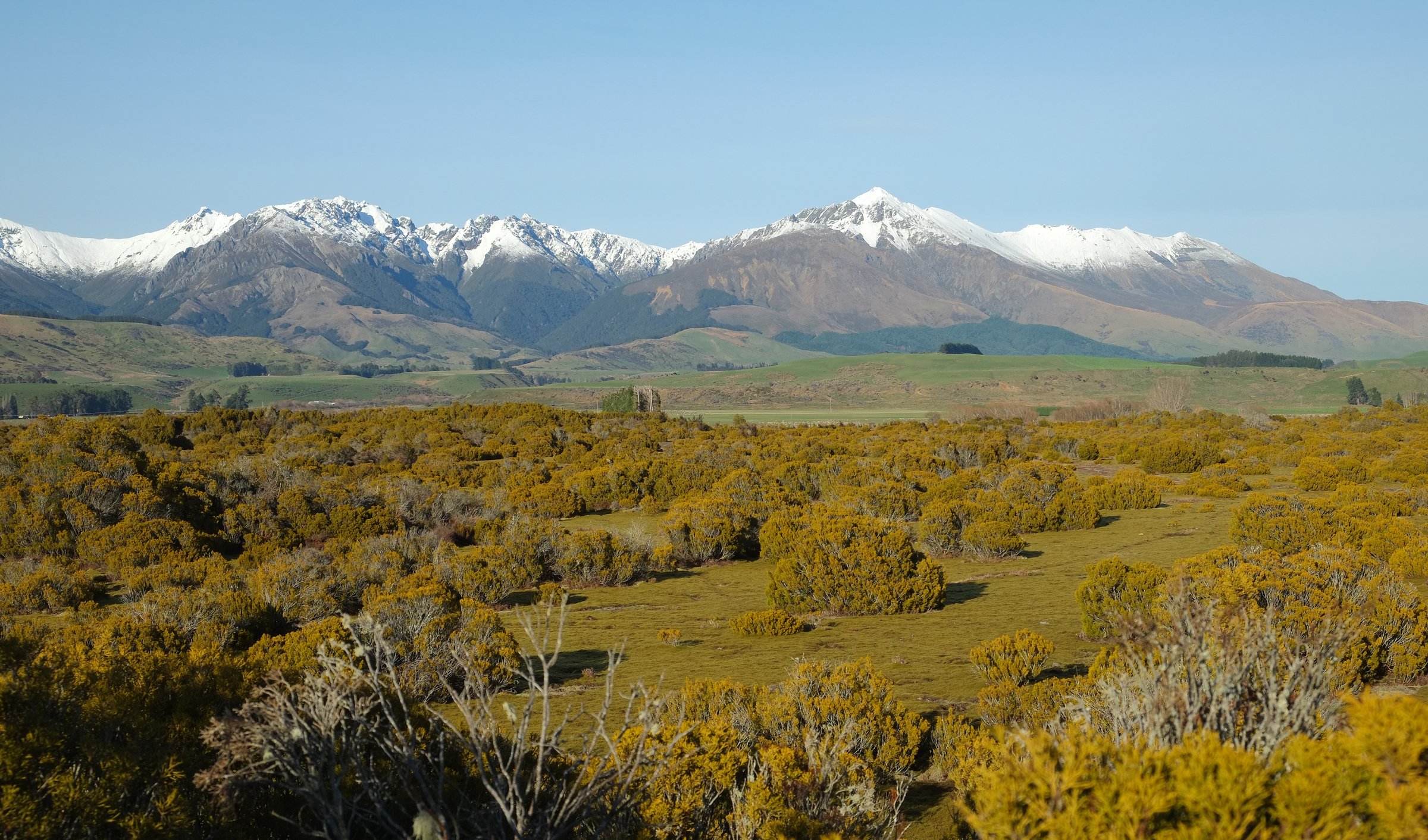
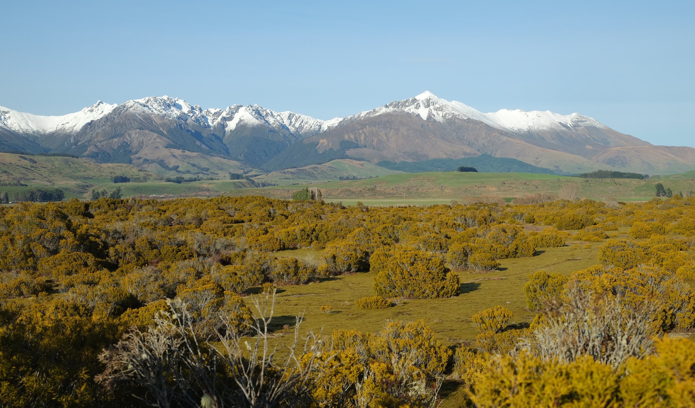
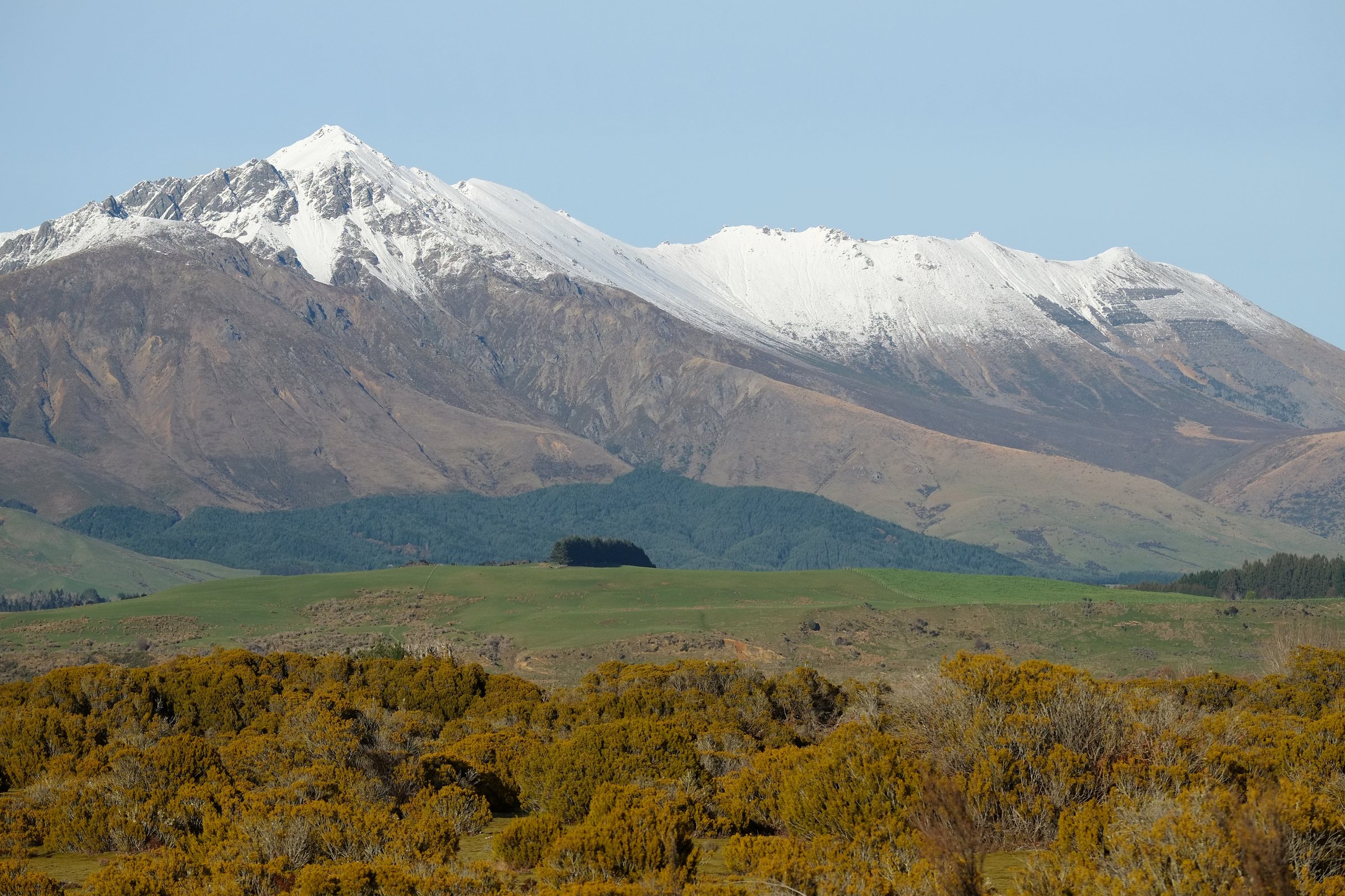
The Mount Linton side of the Takitimu Mountains is a high-country, farm-access and backcountry-tramping area rather than a dense day-walk destination. The walking character is open tussock, beech-fringe valleys, old musterers’ lines, wet ground, unbridged rivers and long exposed crossings. Te Araroa provides the clearest mapped corridor through this area, especially between Telford Campsite, Mount Linton Station and Struan Flat Road / Birchdale.
DOC describes the wider Takitimu Conservation Area as suitable for experienced trampers, with limited formed legal access. Te Araroa notes add strict Mount Linton Station conditions: stay on the marked route, no camping between Telford Campsite and Struan Flat Road, no dogs, hunting, firearms or fires, and complete the station crossing in one day.
This subregion does not currently have five independently verified, maintained public day-hikes in the usual guidebook sense. The strongest walking routes are mainly Te Araroa / DOC backcountry sections, with private-station access controls around Mount Linton, Beaumont and neighbouring stations. The list below gives exactly five day objectives or day-sized route sections, but labels non-publication-ready items clearly. Do not treat candidate-only routes as open public walks without current permission and mapping.
Selection rationale
The list prioritises the Mount Linton Te Araroa crossing and the nearest DOC/Te Araroa southern Takitimu route sections that can function as day objectives for very fit, experienced parties. Several are better understood as through-tramp legs or hut-to-hut day stages than casual circular walks.
Summary table
| # | Hike | Country | Route type | Distance | Gain | Max elevation | Difficulty |
|---|---|---|---|---|---|---|---|
| 1 | Telford Campsite to Struan Flat Road / Birchdale via Mount Linton Station | New Zealand | Point-to-point | 29.5-32 km | 871 m secondary | 580 m secondary | Hard / expert |
| 2 | Aparima Hut to Telford Campsite via Lower Wairaki Hut | New Zealand | Point-to-point | 22 km | 1,007 m secondary | 1,008 m secondary | Hard / expert |
| 3 | Lower Wairaki Hut to Telford Campsite high-country section | New Zealand | Point-to-point | 8-12.2 km | 555 m secondary | 1,008 m secondary | Hard / expert |
| 4 | Lower Wairaki Hut to Upper Wairaki Hut Route | New Zealand | Out-and-back or hut-to-hut | 8.5 km one way | Expert | ||
| 5 | Redcliff Hut / Redcliff Creek navigation day candidate | New Zealand | Candidate out-and-back | Expert / candidate |
1. Telford Campsite to Struan Flat Road / Birchdale via Mount Linton Station

Snapshot
Itinerary
From Telford Campsite, follow the marked Te Araroa line south across the Mount Linton Station section toward Struan Flat Road / Birchdale. The route is a long pastoral and foothill traverse rather than a DOC-built day-walk. Te Araroa warns that the section must be completed in one day, with no camping between Telford Campsite and Struan Flat Road.
Why it is essential
This is the defining walking crossing for the Mount Linton side of the Takitimus: long, exposed, access-sensitive and representative of the area’s station-country character.
Equipment
Full tramping kit, boots, waterproofs, warm layers, map/GPS, navigation backup, headtorch, food, water treatment, first aid, emergency shelter, and a personal locator beacon strongly recommended.
Hazards and notes
The route is long and committing, with private-land restrictions, farm operations, weather exposure and limited exit options. Do not start from Telford after midday unless staying there. No dogs, hunting, firearms, fires or off-route travel. Carry current Te Araroa notes.
GPX / KML links
| Source | URL | Format / access | Reuse status |
|---|---|---|---|
| Te Araroa trail maps | teararoa.org.nz | Official route download page | Te Araroa terms unresolved; route file found; reuse terms pending |
| Te Araroa 2025/26 GPX | teararoa.org.nz | GPX download | Terms unresolved; source geometry only until rights are checked |
| Te Araroa 2025/26 KML | teararoa.org.nz | KML download | Terms unresolved; source geometry only until rights are checked |
| AllTrails: Te Araroa Telford Campsite to Birchdale | alltrails.com | Route page | AllTrails terms apply; GPX reuse not confirmed |
External links
- Te Araroa — Murihiku / Southland trail notes
- Te Araroa — trail maps
- DOC — Takitimu Conservation Area
- AllTrails — Te Araroa Telford Campsite to Birchdale
2. Aparima Hut to Telford Campsite via Lower Wairaki Hut
Snapshot
Itinerary
This is the long Te Araroa day that links the Aparima valley to Telford Campsite, passing the Lower Wairaki Hut area before crossing higher, exposed ground toward the Mount Linton side.
Why it is essential
For fit trampers, this is the strongest day-sized northern approach to the Mount Linton crossing and one of the few through-lines across the southern Takitimus.
Equipment
Full backcountry tramping kit, navigation tools, waterproofs, warm layers, headtorch, personal locator beacon, food, and water treatment.
Hazards and notes
Expect tussock, wet ground, river crossings, exposure and slow travel. Times vary strongly with conditions. In poor weather this is not a day-hike; it is a serious backcountry stage.
GPX / KML links
| Source | URL | Format / access | Reuse status |
|---|---|---|---|
| Te Araroa trail maps | teararoa.org.nz | GPX/KML source page | Terms unresolved; source geometry only until rights are checked |
| AllTrails: Te Araroa Aparima Hut to Telford Campsite | alltrails.com | Route page | AllTrails terms apply; GPX reuse not confirmed |
External links
- Te Araroa — Murihiku / Southland trail notes
- Te Araroa — trail maps
- DOC — Takitimu Conservation Area
- AllTrails — Te Araroa Aparima Hut to Telford Campsite
3. Lower Wairaki Hut to Telford Campsite High-Country Section

Snapshot
Itinerary
From Lower Wairaki Hut, follow the Te Araroa route south toward the Telford Burn and Telford Campsite, crossing open high-country terrain before the private-station crossing beyond Telford.
Why it is essential
This is the compact day-sized high-country portion immediately before the Mount Linton Station traverse. It is shorter than the full Mount Linton crossing but still gives the character of the southern Takitimu tops.
Equipment
Full tramping kit, navigation, warm/wet-weather layers, headtorch, and personal locator beacon recommended.
Hazards and notes
Access logistics are the limiting factor: this is not a simple roadside day walk. Check Beaumont Station permission, Te Araroa updates and DOC conditions. Bad weather can make route-finding and exposure serious.
GPX / KML links
| Source | URL | Format / access | Reuse status |
|---|---|---|---|
| Te Araroa trail maps | teararoa.org.nz | GPX/KML source page | Terms unresolved; source geometry only until rights are checked |
| AllTrails: Lower Wairaki Hut to Telford Campsite | alltrails.com | Route page | AllTrails terms apply; GPX reuse not confirmed |
External links
- Te Araroa — Murihiku / Southland trail notes
- DOC — Lower Wairaki Hut
- AllTrails — Lower Wairaki Hut to Telford Campsite
4. Lower Wairaki Hut to Upper Wairaki Hut Route
Snapshot
Itinerary
DOC describes the route as dropping from Lower Wairaki Hut to the river, crossing to the true left and following the valley to a junction, then continuing up the Wairaki River to Upper Wairaki Hut.
Why it is essential
This is the clearest DOC-described route into the Wairaki headwaters, an important southern-Takitimu side valley near the Mount Linton approach area.
Equipment
Full tramping kit, navigation, river-crossing competence, emergency shelter, personal locator beacon, and spare food.
Hazards and notes
The route is not signposted at the start and requires river crossing. It should be attempted only by competent backcountry trampers with permission for the approach across Beaumont Station.
GPX / KML links
| Source | URL | Format / access | Reuse status |
|---|---|---|---|
| DOC Lower Wairaki Hut to Upper Wairaki Hut Route | doc.govt.nz | Official route page / source map | DOC terms; no GPX found; source map only |
External links
5. Redcliff Hut / Redcliff Creek Navigation Day Candidate
Snapshot
Itinerary
DOC verifies Redcliff Hut as a two-bunk backcountry hut in Takitimu Conservation Area but explicitly says there is no DOC track access and visitors must plan and navigate their own route. This entry is therefore a flagged candidate, not a publishable day hike.
Why it is essential
It is included only to document the main unresolved western/southern Takitimu hut objective near the Mount Linton side. It should be replaced if a legally accessible, mapped public day route is verified later.
Equipment
Off-track navigation kit, personal locator beacon, river-crossing competence, and full bad-weather gear.
Hazards and notes
This is not suitable for a general day-hike catalogue until access, route line, distance, time and permission are confirmed. Unbridged rivers and route-finding are central hazards.
GPX / KML links
| Source | URL | Format / access | Reuse status |
|---|---|---|---|
| DOC Redcliff Hut | doc.govt.nz | Hut page only | DOC terms; no route file; hut verified, route unresolved |
External links
External links
| Source | URL |
|---|---|
| Te Araroa — Murihiku / Southland trail notes | teararoa.org.nz |
| Te Araroa — trail maps | teararoa.org.nz |
| Te Araroa — 2025/26 GPX | teararoa.org.nz |
| Te Araroa — 2025/26 KML | teararoa.org.nz |
| DOC — Takitimu Conservation Area | doc.govt.nz |
| DOC — Lower Wairaki Hut | doc.govt.nz |
| DOC — Lower Wairaki Hut to Upper Wairaki Hut Route | doc.govt.nz |
| DOC — Redcliff Hut | doc.govt.nz |
| AllTrails — Te Araroa Telford Campsite to Birchdale | alltrails.com |
| AllTrails — Te Araroa Aparima Hut to Telford Campsite | alltrails.com |
| AllTrails — Lower Wairaki Hut to Telford Campsite | alltrails.com |