Regional overview
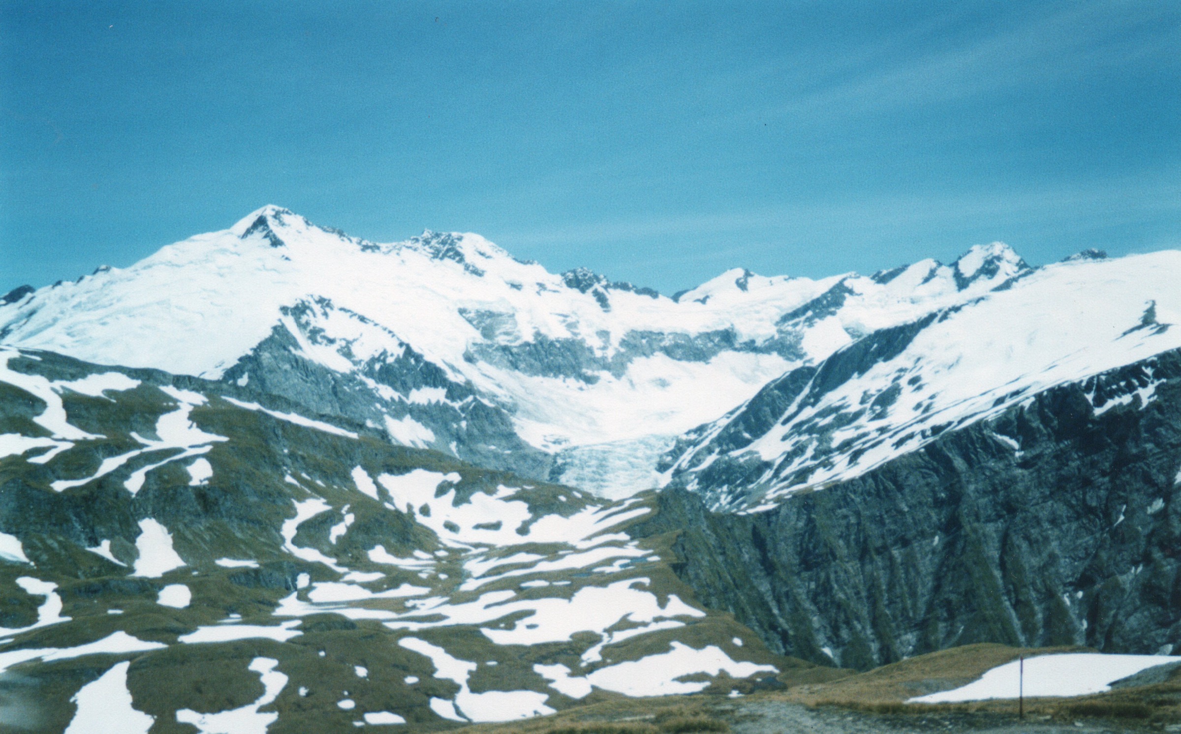
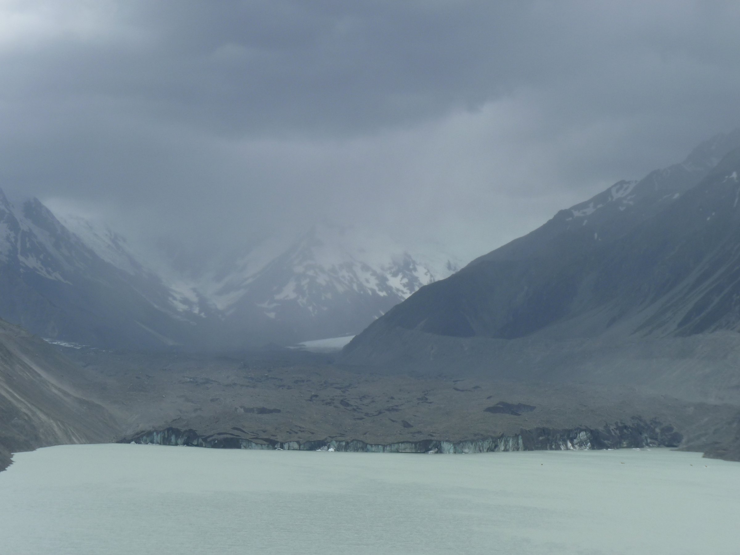
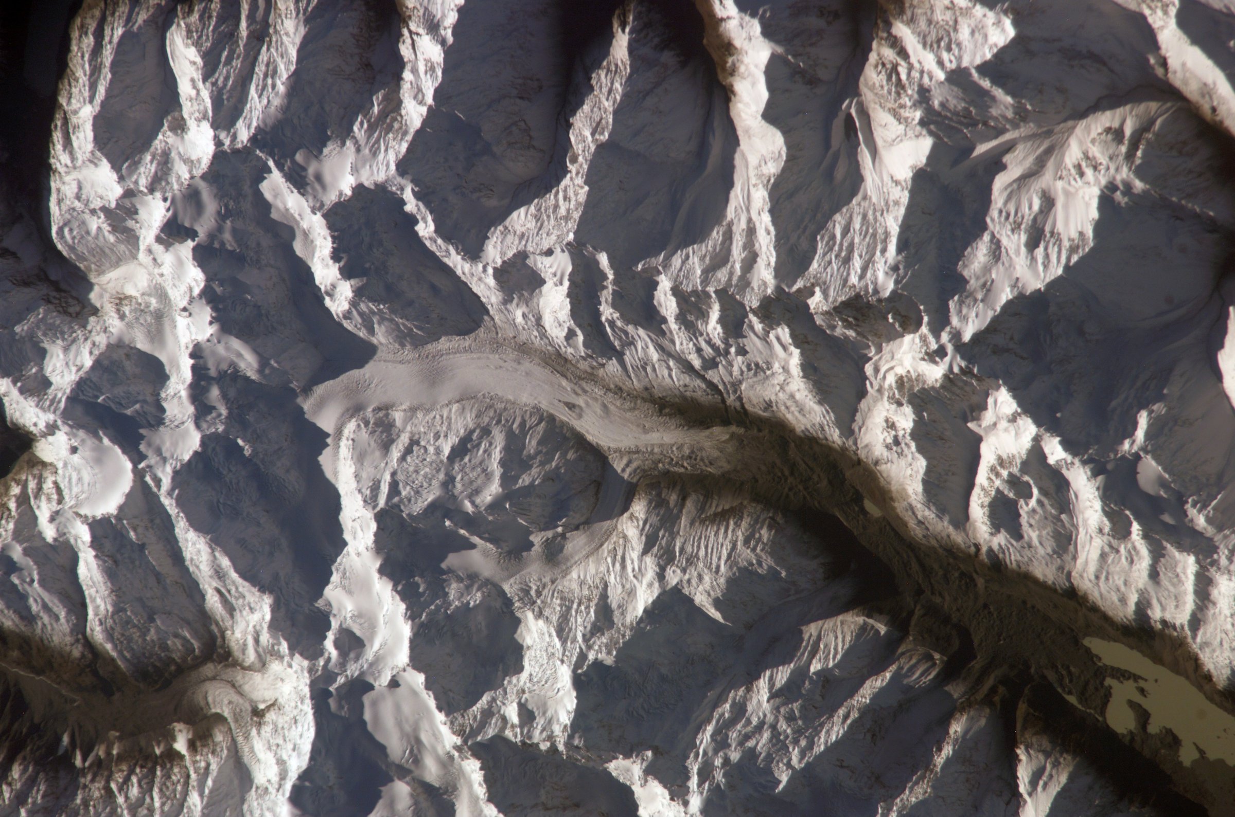
Murchison Valley is one of the remote glacier systems of Aoraki/Mount Cook National Park, lying beyond the better-known Tasman Valley day-walk area. Its walking character is not the same as the village-side short tracks: the direct Murchison Valley route is long, rough, partly unmaintained, and affected by moraine, river, glacier-fed channels and changeable alpine weather.
The practical access corridor is Tasman Valley Road and the Blue Lakes / Tasman Glacier car park. The nearest well-documented day objectives are therefore the Tasman Glacier viewpoints, Ball Hut Track, and higher Ball Ridge / Caroline Hut approaches on the Tasman side. The Murchison Valley itself does not currently provide five publication-ready, non-technical day hikes from official sources; this entry records the best day walks and day sections tied to the Murchison/Tasman access zone, with unresolved or non-standard routes clearly labelled.
The best season is generally summer to autumn in settled weather. Snow, avalanche exposure, unstable moraine, unbridged streams, rapidly rising glacier-fed water, rockfall and route-finding all become more serious away from the short maintained walks. No dogs are allowed in Aoraki/Mount Cook National Park, recreational drones are not permitted, and current DOC conditions should be checked at the Aoraki/Mount Cook Visitor Centre before committing to the Ball Hut or Murchison routes.
Selection rationale
The five selections cover the feasible day-hike edge of the Murchison Valley: one official short Tasman Glacier viewpoint, two Ball Hut / Ball Ridge objectives that give legal access toward the Murchison-side alpine landscape, and two Murchison Valley day-section candidates where the official and secondary sources show the route but not enough safe day-hike detail for publication.
Summary table
| # | Hike | Country | Route type | Distance | Gain | Max elevation | Difficulty |
|---|---|---|---|---|---|---|---|
| 1 | Tasman Lake and River Track | New Zealand | Out-and-back with short branch | 2.6 km return | 86 m | Not published | Easy-intermediate |
| 2 | Ball Hut Track to Ball Shelter / historic Ball Hut site | New Zealand | Out-and-back | DOC distance inconsistent; AllTrails 19.6 km return | 692 m on AllTrails | Not verified | Advanced / strenuous |
| 3 | Ball Hut to Caroline Hut / Ball Ridge day section | New Zealand | Out-and-back from Ball Hut | 7.7 km return on AllTrails | 834 m on AllTrails | Not verified | Strenuous alpine route |
| 4 | Lower Murchison Valley to Onslow Hut day attempt | New Zealand | Out-and-back / very long day section | 21.5 km on Wilderness; official Murchison route 32 km one way | Not verified | Not verified | Expert |
| 5 | Murchison Valley route reconnaissance day section | New Zealand | Out-and-back day section | No published day distance; full route 32 km one way | Not verified | Not verified | Expert / candidate |
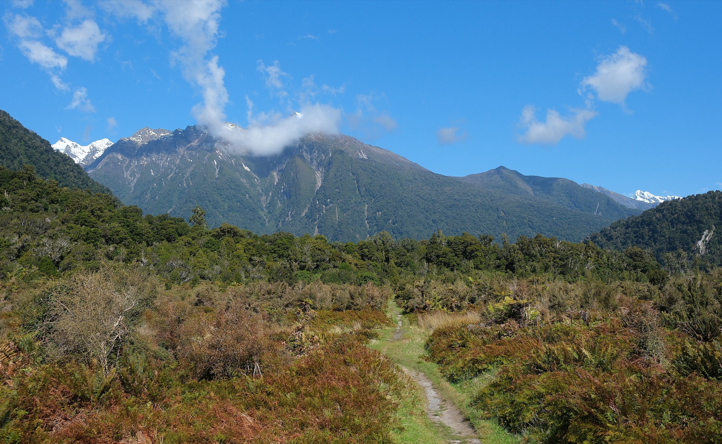
1. Tasman Lake and River Track

Snapshot
Itinerary
From the Blue Lakes car park, follow the track past the Blue Lakes shelter and branch right from the Blue Lakes Track. The route climbs gradually through old terminal moraines to a viewpoint over Haupapa/Tasman Glacier terminal lake, with a further short branch toward the source of the Tasman River.
Why it is essential
This is the safest official day-walk viewpoint for the glacier system beside the Murchison access corridor. It is not a Murchison Valley route, but it gives the closest low-commitment view into the same glacial landscape without entering unmaintained moraine or river terrain.
Equipment
Standard hiking equipment: sturdy shoes, weatherproof layer, warm layer, water, food, sun protection, and map/GPS. In winter, carry extra warm clothing and avoid all lake ice.
Hazards and notes
DOC warns that the water in Tasman Lake is very cold, that frozen lake ice can give way, and that icebergs are unstable. Do not enter the water, walk on lake ice, or climb icebergs. Rapid weather change is normal in the alpine environment. No dogs and no recreational drones in the national park.
GPX / KML links
| Source | URL | Format / access | Reuse status |
|---|---|---|---|
| DOC Tasman Lake and River Track | doc.govt.nz | Official route page / source map | DOC website terms; no GPX found; source-map reference only |
| AllTrails: Tasman Glacier View Track | alltrails.com | Route page / app map | AllTrails terms apply; GPX export terms not verified; secondary route source only |
External links
2. Ball Hut Track to Ball Shelter / Historic Ball Hut Site
Snapshot
Itinerary
From the Blue Lakes car park, cross the old slip area above the car park and gain the moraine wall. The route then follows the old Ball Road alignment along the Tasman Glacier moraine, with rough washout sections, to Ball Shelter. The historic Ball Hut site is a short continuation beyond the shelter. Return by the same route.
Why it is essential
Ball Hut is the classic non-glacier route into the high Tasman/Murchison-side terrain. It gives long moraine-wall travel, views up the Tasman Glacier, and the normal approach toward Ball Pass and Caroline Hut without committing to a technical crossing.
Equipment
Mountain hiking equipment: sturdy boots, trekking poles, warm and waterproof layers, sun protection, map/GPS, navigation backup, headtorch, emergency shelter, first aid and a personal locator beacon. Carry enough water for a long exposed day.
Hazards and notes
DOC notes washouts, rough track, unbridged streams, avalanche exposure when snow-covered, and rapidly rising water during or after heavy rain. Ball Road beyond Blue Lakes car park is not suitable for 2WD vehicles; 4WD and mountain-bike access may be possible only as far as Husky Flat in dry conditions, and Ball Road is closed at Husky Flat.
GPX / KML links
| Source | URL | Format / access | Reuse status |
|---|---|---|---|
| DOC Ball Hut Track | doc.govt.nz | Official route page / source map | DOC website terms; no GPX found; official access and hazard source, route geometry not reusable as GPX |
| AllTrails: Ball Hut Route | alltrails.com | Route page / app map | AllTrails terms apply; GPX export terms not verified; secondary route source only |
External links
3. Ball Hut to Caroline Hut / Ball Ridge Day Section

Snapshot
Itinerary
From the Ball Hut area, the route climbs higher onto Ball Ridge toward Caroline Hut and the Ball Pass approach. The day objective is the ridge and hut area as an out-and-back from Ball Hut, not the full Ball Pass Crossing. Return by the same line.
Why it is essential
This is the strongest day-sized high viewpoint above the Ball Hut corridor, with direct alpine context for the Tasman Glacier, Ball Pass, and the Murchison-side divide. It is included as a candidate because it depends on already being at Ball Hut or accepting a very long combined day from the road.
Equipment
Mountain hiking equipment plus alpine-route margin: sturdy boots, map and compass/GPS, headtorch, emergency shelter, PLB, warm/windproof layers, waterproof shell, gloves and hat. Crampons and ice axe may be required if snow or ice remains; do not attempt without the skills to use them.
Hazards and notes
This is not a casual extension. Route-finding, loose moraine and scree, weather exposure, snow, avalanche terrain and long retreat options make it suitable only for experienced parties. The full Ball Pass Crossing is a demanding multi-day alpine route and is outside this day-hike catalogue.
GPX / KML links
| Source | URL | Format / access | Reuse status |
|---|---|---|---|
| AllTrails: Ball Hut to Caroline Hut | alltrails.com | Route page / app map | AllTrails terms apply; GPX export terms not verified; secondary route source only |
| DOC Ball Hut Track | doc.govt.nz | Official access context | DOC website terms; official access and hazard source only |
External links
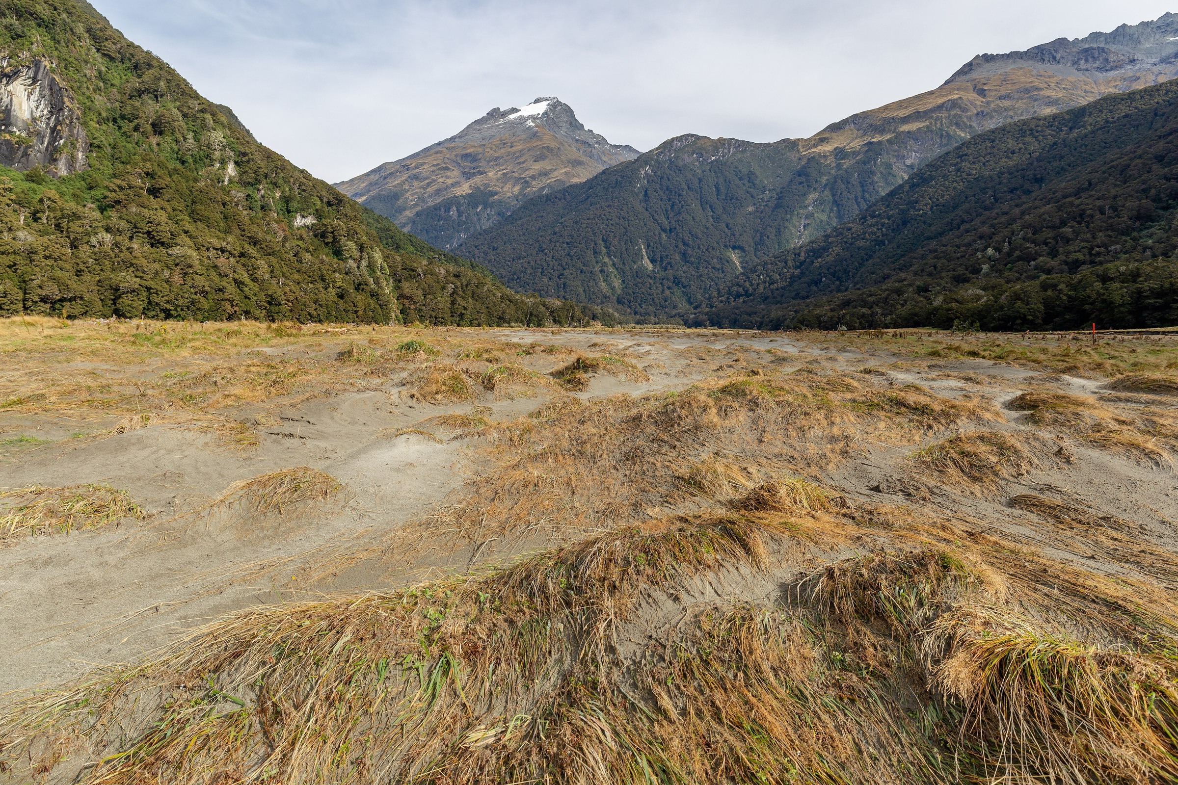
4. Lower Murchison Valley to Onslow Hut Day Attempt

Snapshot
Itinerary
The objective follows the lower Murchison Valley access toward Onslow Hut, using the Murchison Valley route rather than maintained walking-track infrastructure. The exact day itinerary needs local route confirmation because the Tasman/Murchison access across moraine, lake outlets, streams and glacier-fed channels changes over time. A safe turn-around must be chosen before committing to any uncertain crossing.
Why it is essential
Onslow Hut is the most recognisable lower Murchison Valley day objective identified in secondary guidebook-style material. It represents the actual Murchison Valley rather than the adjacent Tasman viewpoint tracks, but the available data is not strong enough to publish as a standard independent day hike.
Equipment
Full backcountry mountain equipment: boots, river-crossing footwear if used, warm and waterproof layers, map and compass/GPS, PLB, emergency shelter, headtorch, first aid, spare food, and the ability to wait out unsafe river levels. Glacier travel equipment may be required if route conditions move onto glacier terrain; do not proceed without appropriate skills.
Hazards and notes
DOC describes Murchison Valley as a long rugged route requiring navigation and glacier-travel experience. The route is not maintained and passes through unbridged streams, rivers and glacier-fed channels. The access route across the Tasman terminal moraine and lake outlets can change and may be impassable. This should remain a candidate until current local guidance, route geometry and access are verified.
GPX / KML links
| Source | URL | Format / access | Reuse status |
|---|---|---|---|
| DOC Murchison Valley route | doc.govt.nz | Official route page / source map | DOC website terms; no GPX found; official route and hazard source, source-map reference only |
| Wilderness Magazine: Onslow Hut in a Day | wildernessmag.co.nz | Secondary route article; GPX availability needs account/page confirmation | Website terms not checked; secondary route reference only, reuse unresolved |
External links
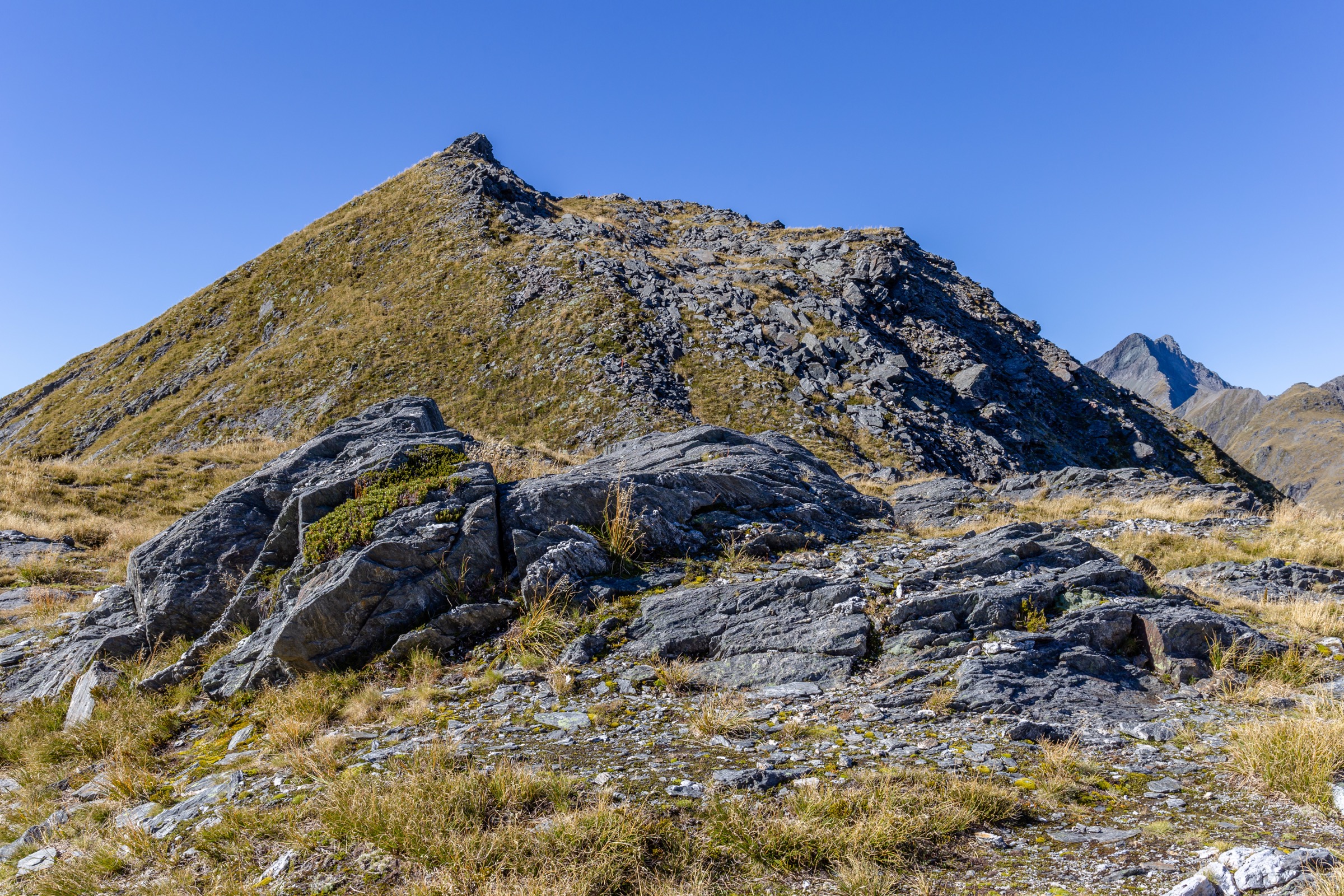
5. Murchison Valley Route Reconnaissance Day Section
Snapshot
Itinerary
This is not a fixed guidebook walk. It is a conservative out-and-back reconnaissance on the official Murchison Valley access, turning around before conditions require glacier travel, unsafe river crossings, or navigation through unstable moraine. The exact line must be confirmed locally because the route is not maintained and the lower valley changes.
Why it is essential
The Murchison Valley is the named region, but the official route is a multi-day expert route rather than a standard day hike. A reconnaissance day section is included to represent the valley itself.
Equipment
Full mountain and emergency equipment: boots, map and compass/GPS, PLB, headtorch, emergency shelter, warm layers, waterproof shell, food, water, first aid and river-crossing judgement. Glacier travel equipment and skills are required if the route or conditions demand glacier travel.
Hazards and notes
This should not be promoted as a normal day hike. DOC notes hazardous terrain, unmaintained route conditions, glacier-fed channels, unbridged rivers and streams, and the need for glacier-travel and route-finding experience. The publication task should remain open until current DOC/local advice and a lawful route file are obtained.
GPX / KML links
| Source | URL | Format / access | Reuse status |
|---|---|---|---|
| DOC Murchison Valley route | doc.govt.nz | Official route page / source map | DOC website terms; no GPX found; source-map reference only |
| OpenStreetMap search: Murchison Valley Aoraki | openstreetmap.org | OSM map/search | OSM data is ODbL; geometry cross-check candidate only |
External links
External links
| Source | URL |
|---|---|
| DOC — Tasman Lake and River Track | doc.govt.nz |
| DOC — Ball Hut Track | doc.govt.nz |
| DOC — Murchison Valley route | doc.govt.nz |
| DOC — Walking tracks in Aoraki/Mount Cook brochure | doc.govt.nz |
| Wilderness Magazine — Onslow Hut in a Day | wildernessmag.co.nz |
| AllTrails — Tasman Glacier View Track | alltrails.com |
| AllTrails — Ball Hut Route | alltrails.com |
| AllTrails — Ball Hut to Caroline Hut | alltrails.com |