Regional overview
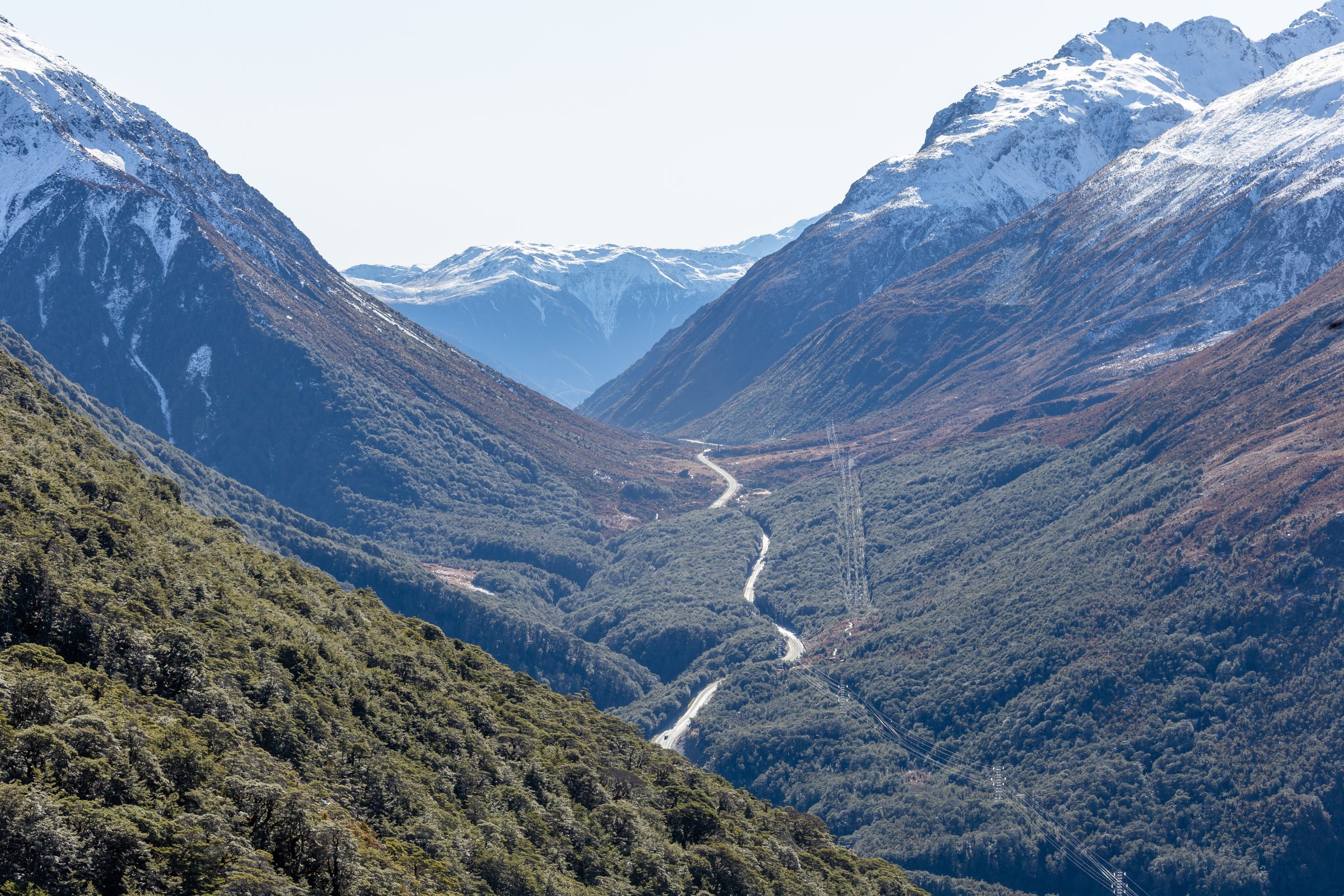
The Bealey Valley is the eastern approach to Arthur’s Pass, running from the upper Waimakariri and Bealey Spur country into Arthur’s Pass village and the Main Divide. It contains some of the most accessible walking in Arthur’s Pass National Park: short forest and chasm tracks, the historic Arthur’s Pass Walking Track, the long gradual Bealey Spur climb, and steep bushline tracks rising from the village.
The terrain changes quickly. Valley-floor tracks can be short and sheltered, while the same trailhead cluster gives access to avalanche-prone ridges and exposed summit routes. DOC treats several higher tracks as advanced tramping tracks and warns that unmarked travel above the bushline requires alpine experience, navigation, and winter equipment when snow is present.
The usual day-hiking season is late spring to autumn. In winter and spring, snow, ice, avalanche paths, short daylight, and cold wind can affect even routes that begin in forest. Arthur’s Pass village has SH73 access, bus services, and the TranzAlpine rail stop; Bealey Spur is 14 km south of the village and normally needs road access.
Selection rationale
These five hikes cover the Bealey Valley’s main day-hike roles: a short river-and-chasm walk, a historic village-to-pass connector, a gradual Waimakariri viewpoint spur, a steep bushline viewpoint on Mount Bealey, and the classic Avalanche Peak skyline route above the valley.
Summary table
| # | Hike | Country | Route type | Distance | Gain | Max elevation | Difficulty |
|---|---|---|---|---|---|---|---|
| 1 | Bealey Valley Track and Bealey Chasm | New Zealand | Out-and-back | 2.4 km return by DOC doubled distance; 4.5 km by AllTrails variant | 283 m by AllTrails variant | 1,073 m by AllTrails | Easy-intermediate / moderate |
| 2 | Bealey Spur Track to Bealey Spur Hut | New Zealand | Out-and-back | 12 km return by DOC doubled distance; 12.6 km by AllTrails | 655 m by AllTrails | 1,234 m by AllTrails | Easy-intermediate / moderate |
| 3 | Arthur’s Pass Walking Track | New Zealand | Out-and-back or partial traverse | 6.8 km return by DOC; 7.7 km by AllTrails | 351 m by AllTrails | 945 m by AllTrails | Easy-intermediate / moderate |
| 4 | Mount Bealey Track to Bushline | New Zealand | Out-and-back | 3.2 km return to bushline by DOC | 610 m to bushline | Approx. 1,350 m to bushline; summit not on marked track | Advanced |
| 5 | Avalanche Peak Track and Scotts Track Loop | New Zealand | Loop | 7.9-8.2 km | 1,065-1,100 m | 1,833 m | Advanced / strenuous |
1. Bealey Valley Track and Bealey Chasm
Snapshot
Itinerary
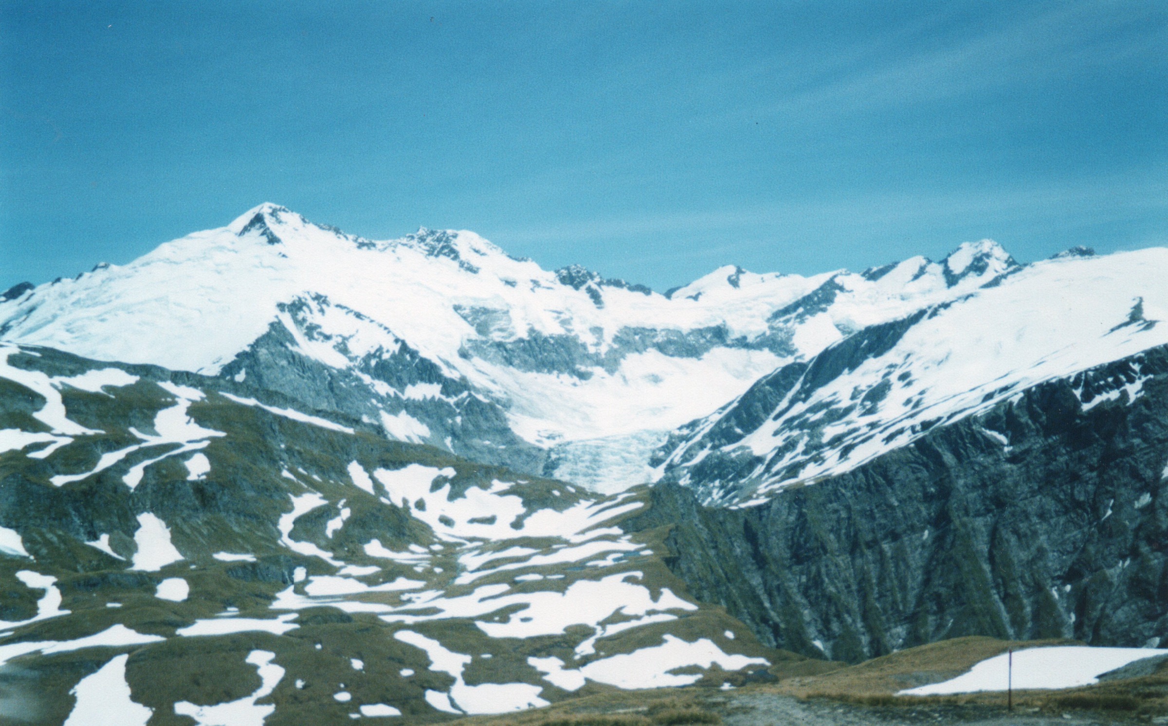
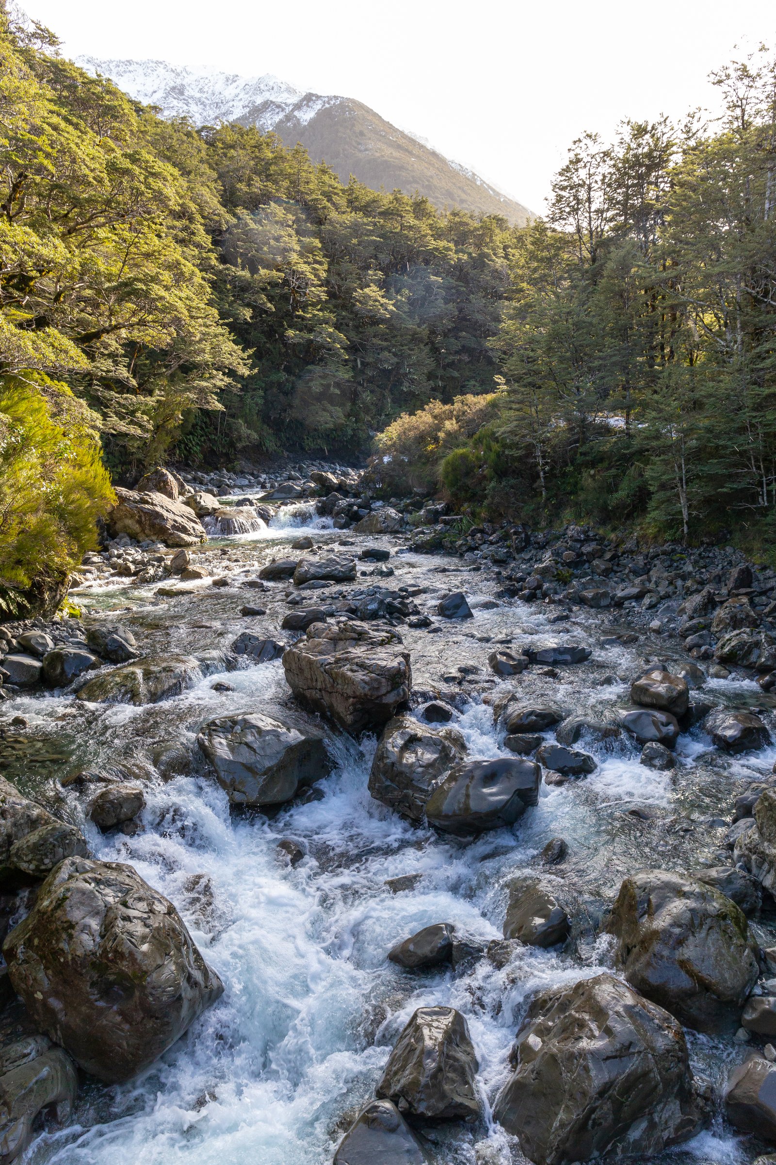
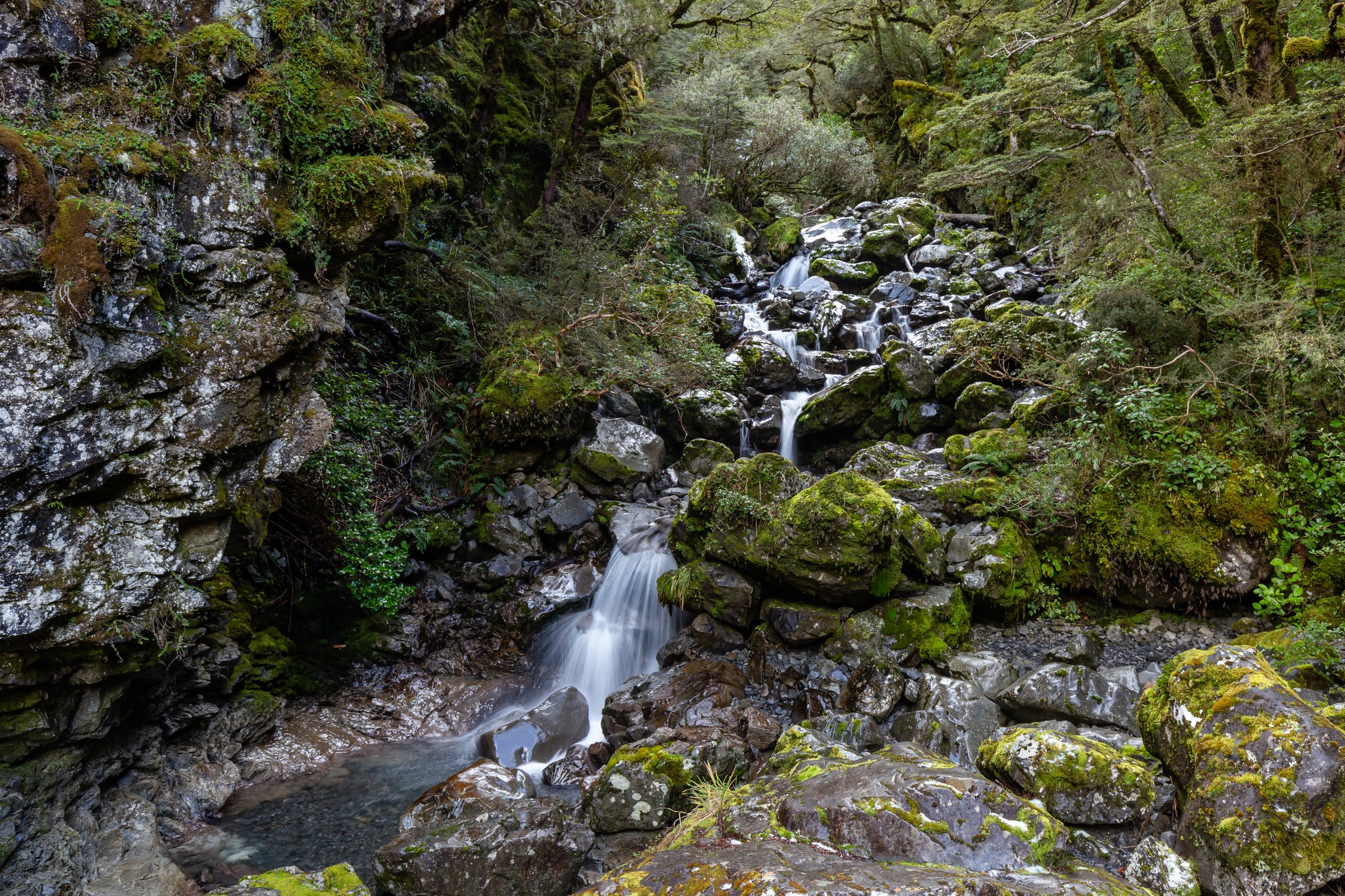
From the car park opposite Jacks Hut, follow a short section of Arthur’s Pass Walking Track, then branch off to cross Bealey Chasm, where the river runs through a narrow boulder channel. Continue briefly to a snowgrass clearing with views of Mount Rolleston, then re-enter beech forest and walk to the Bealey River track end.
Return the same way. The track end and river area are not an invitation to continue into avalanche terrain in winter.
Why it is essential
This is the most direct low-level Bealey Valley walk. It gives chasm, forest, river, and Mount Rolleston views with minimal commitment from SH73.
Equipment
- Standard hiking equipment: sturdy shoes, waterproof layer, warm layer, water, sun protection, and map/GPS.
- In cold or wet weather, carry gloves and a warm hat even for the short walk.
Hazards and notes
- DOC warns that the Bealey River beyond the track end is subject to avalanche hazard in winter and that avalanches have reached the warning-sign area.
- Rock and river margins can be slippery.
- No dogs are allowed.
GPX / KML links
| Source | URL | Format / access | Reuse status |
|---|---|---|---|
| DOC: Bealey Valley Track | doc.govt.nz | Official route page / map | DOC website terms; no GPX found; source-map reference only |
| AllTrails: Bealey Valley Track | alltrails.com | Route page / app map | AllTrails terms apply; secondary source-map reference; GPX reuse not confirmed |
External links
2. Bealey Spur Track to Bealey Spur Hut
Snapshot
Itinerary
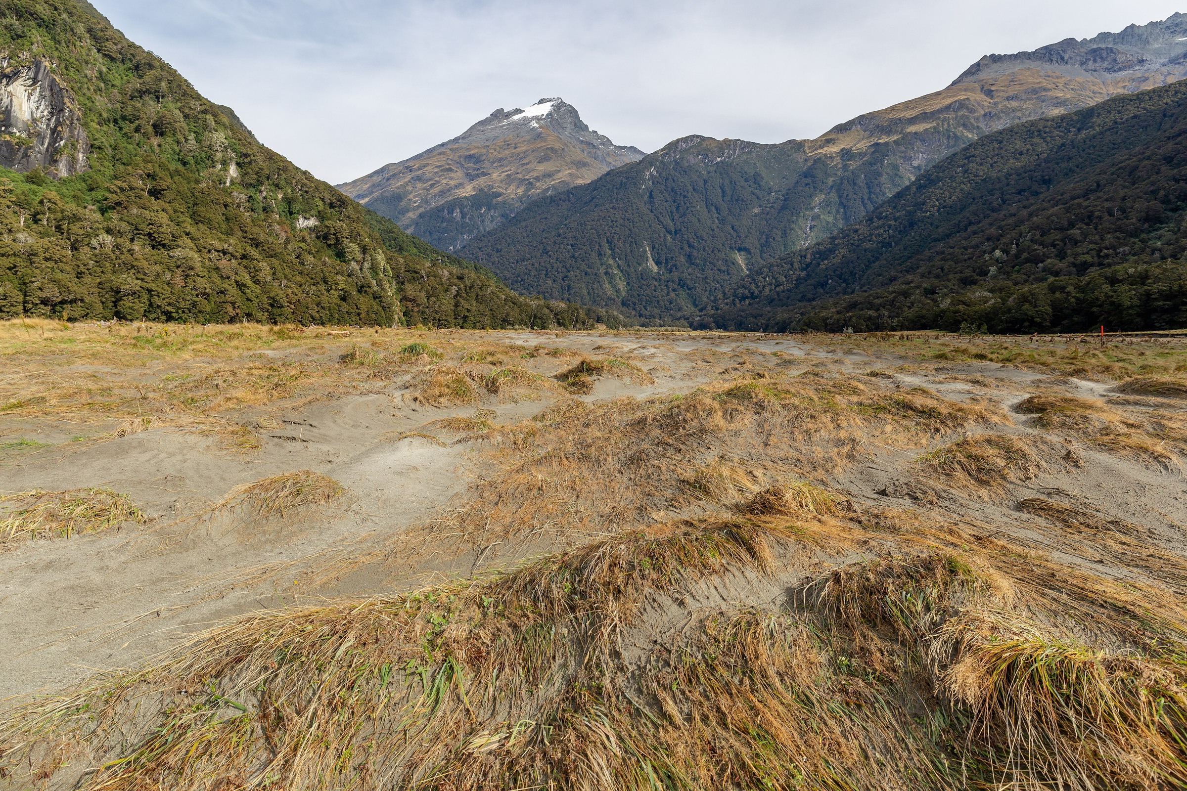
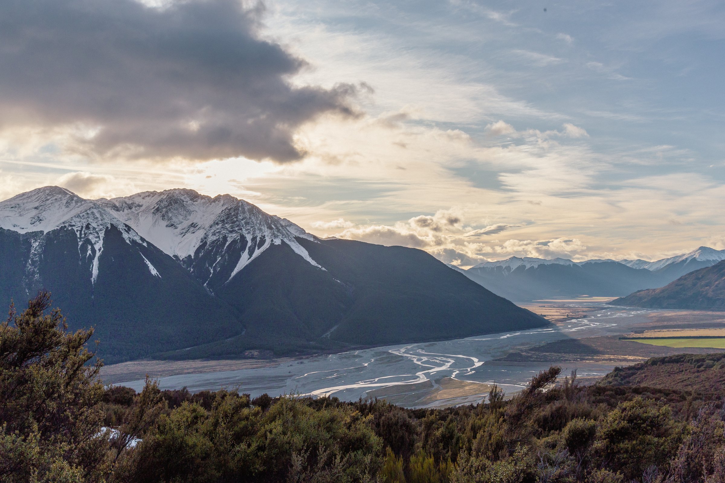
From the car park, walk up Cloudesley Road to the signed track start. The track climbs gradually through mountain-beech forest, then reaches tussock and subalpine scrub with tarns and views across the Waimakariri River valley. The formed track ends at historic Bealey Spur Hut.
Return by the same route. The hut has basic facilities, but this entry treats it as a day-walk turnaround point.
Why it is essential
Bealey Spur is the classic moderate full-day walk of the Bealey side: less steep than the village skyline tracks, but with broad views over the Waimakariri and surrounding mountains.
Equipment
- Standard to mountain hiking equipment: sturdy shoes or boots, waterproof layer, warm layer, food, water, sun protection, and map/GPS.
- DOC recommends at least 1 litre of water per person because there are no drinkable water sources along the way.
- Antihistamine cream/tablets are sensible in wasp season.
Hazards and notes
- DOC notes wasps can reach high numbers from January to April.
- The track can be muddy and rough with roots; in winter there can be snow higher up and exposure to wind and cold.
- Take care near the cliff viewpoint over Bruce Stream, especially with children.
- No fires are permitted in the lower car park; no dogs are allowed.
GPX / KML links
| Source | URL | Format / access | Reuse status |
|---|---|---|---|
| DOC: Bealey Spur Track | doc.govt.nz | Official route page / map | DOC website terms; no GPX found; source-map reference only |
| AllTrails: Bealey Spur Track | alltrails.com | Route page / app map | AllTrails terms apply; secondary source-map reference; GPX reuse not confirmed |
External links
3. Arthur’s Pass Walking Track
Snapshot
Itinerary
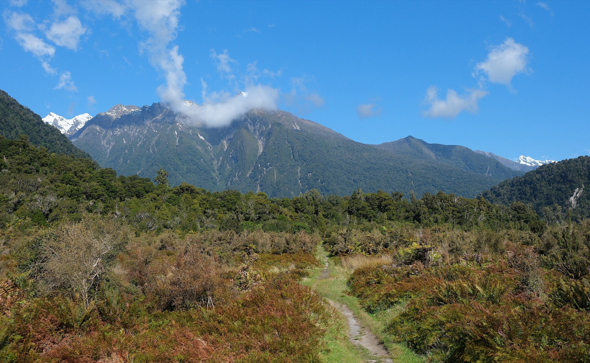
From the village or Punchbowl side, the route passes Bridal Veil Falls lookout, crosses Bridal Veil Creek, reaches Jacks Hut, then continues through old-growth beech toward the Dobson Nature Walk and Arthur’s Pass summit area. It can also be started from Bealey Chasm or Temple Basin car parks.
Return by the same route. DOC warns that SH73 is unsafe to walk on and should not be used as a walking return.
Why it is essential
This is the historic and ecological connector of the upper Bealey Valley, linking Arthur’s Pass village, Jacks Hut, wetlands, forest, waterfall viewpoints, and the pass.
Equipment
- Standard hiking equipment: sturdy shoes, waterproof layer, warm layer, food, water, sun protection, and map/GPS.
- Carry enough clothing for sudden pass weather.
Hazards and notes
- Steeper steps occur near Bridal Veil Creek.
- Take care around road crossings and car parks.
- No dogs are allowed.
GPX / KML links
| Source | URL | Format / access | Reuse status |
|---|---|---|---|
| DOC: Arthur’s Pass Walking Track | doc.govt.nz | Official route page / map | DOC website terms; no GPX found; source-map reference only |
| AllTrails: Arthur’s Pass Walking Track | alltrails.com | Route page / app map | AllTrails terms apply; secondary source-map reference; GPX reuse not confirmed |
External links
- DOC — Arthur’s Pass Walking Track
- DOC — Historic Arthur’s Pass
- AllTrails — Arthur’s Pass Walking Track
4. Mount Bealey Track to Bushline
Snapshot
Itinerary
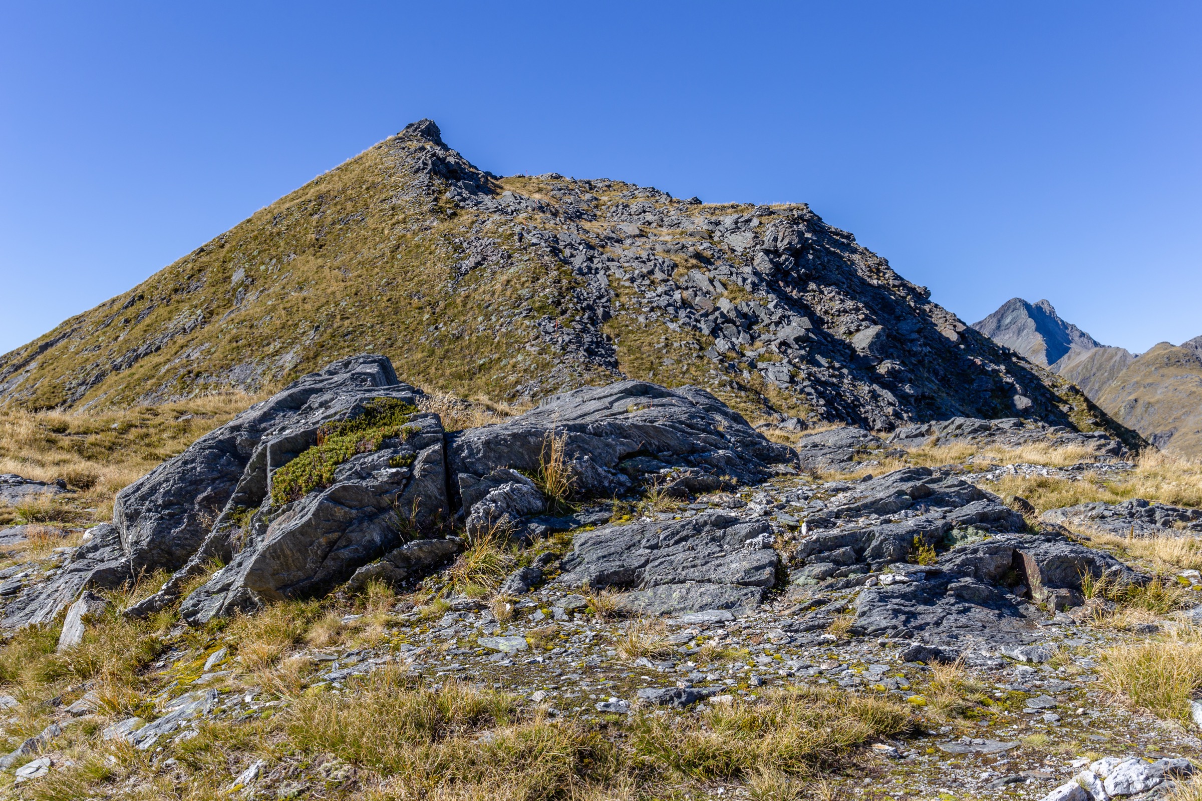
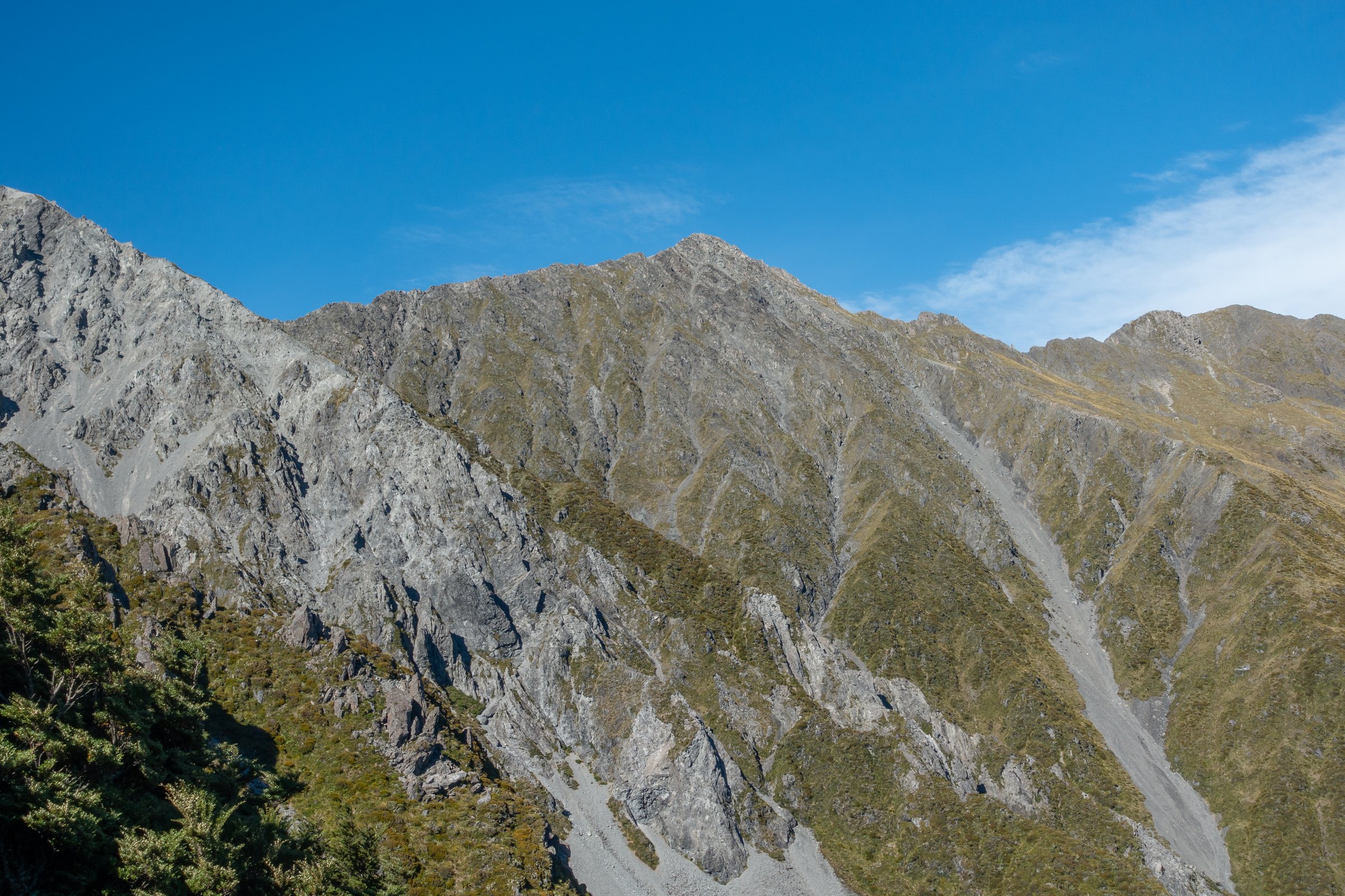
The track climbs steeply from Mount Bealey Road through forest, following orange markers over roots and rough ground to the bushline viewpoint. Views open over Arthur’s Pass village, the Bealey Valley, Avalanche Peak, and Mount Rolleston.
Return by the same track. DOC states there is no marked route to the Mount Bealey summit above the bushline.
Why it is essential
Mount Bealey is the Bealey Valley’s compact steep viewpoint: a serious half-day climb with a strong valley panorama and clear connection to the Arthur’s Pass skyline.
Equipment
- Mountain hiking equipment: sturdy boots, waterproof shell, warm layer, food, water, sun protection, map/GPS, and navigation backup.
- Emergency shelter, headtorch, spare food, and distress beacon are recommended.
- Snow or above-bushline travel requires alpine equipment and avalanche skills.
Hazards and notes
- DOC warns against alternative descents off-track or down streams because cliffs are present.
- Above the bushline there is no marked route, with steep fall-risk terrain.
- Snow, ice, freezing temperatures, and avalanches are winter hazards.
- No dogs are allowed.
GPX / KML links
| Source | URL | Format / access | Reuse status |
|---|---|---|---|
| DOC: Mount Bealey Track | doc.govt.nz | Official route page / map | DOC website terms; no GPX found; source-map reference only |
| AllTrails: Mount Bealey Track | alltrails.com | Route page / app map | AllTrails terms apply; secondary source only; includes summit continuation beyond DOC’s maintained endpoint |
External links
5. Avalanche Peak Track and Scotts Track Loop
Snapshot
Itinerary
Ascend steeply from Arthur’s Pass village on Avalanche Peak Track to the bushline, then follow yellow poles to the 1,833 m summit. Descend the shared summit section and take Scotts Route, following orange poles down the ridge toward Scotts Track and SH73 near the Punchbowl car park.
Why it is essential
Avalanche Peak is the major Bealey Valley skyline route. Its upper ridge gives direct views down the Bealey Valley, across to Mount Bealey and Mount Cassidy, and into the Main Divide peaks around Mount Rolleston.
Equipment
- Mountain hiking equipment plus emergency shelter, headtorch, extra food, first-aid kit, and distress beacon.
- Winter or snow conditions require ice axe, crampons, avalanche transceiver, probe, shovel, and training.
Hazards and notes
- DOC warns of fatalities, steep drop-offs, exposure, and serious navigation risk in poor visibility.
- Rockfall, avalanche, ice, high wind, and sudden weather change are major hazards.
- No dogs are allowed.
GPX / KML links
| Source | URL | Format / access | Reuse status |
|---|---|---|---|
| DOC: Avalanche Peak Route | doc.govt.nz | Official route page / map | DOC website terms; no GPX found; source-map reference only |
| Plan My Walk: Avalanche Peak Route map | planmywalk.nz | Source route map | Plan My Walk terms not checked; source-map reference only |
| AllTrails: Avalanche Peak Track and Scott’s Track Loop | alltrails.com | Route page / app map | AllTrails terms apply; secondary source-map reference; GPX reuse not confirmed |
External links
- DOC — Avalanche Peak Route
- Plan My Walk — Avalanche Peak Route map
- AllTrails — Avalanche Peak Track and Scott’s Track Loop
External links
| Source | URL |
|---|---|
| DOC — Bealey Valley Track | doc.govt.nz |
| DOC — Bealey Spur Track | doc.govt.nz |
| DOC — Arthur’s Pass Walking Track | doc.govt.nz |
| DOC — Historic Arthur’s Pass | doc.govt.nz |
| DOC — Mount Bealey Track | doc.govt.nz |
| DOC — Avalanche Peak Route | doc.govt.nz |
| AllTrails — Bealey Valley Track | alltrails.com |
| AllTrails — Bealey Spur Track | alltrails.com |
| AllTrails — Arthur’s Pass Walking Track | alltrails.com |
| AllTrails — Mount Bealey Track | alltrails.com |
| AllTrails — Avalanche Peak Track and Scott’s Track Loop | alltrails.com |
| Plan My Walk — Avalanche Peak Route map | planmywalk.nz |