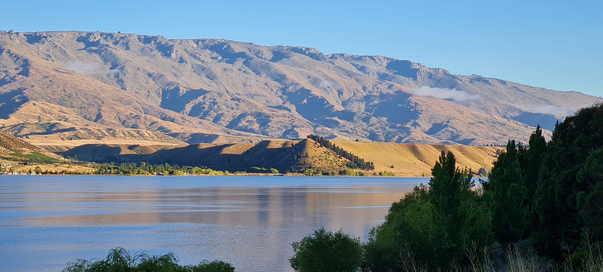
Regional overview
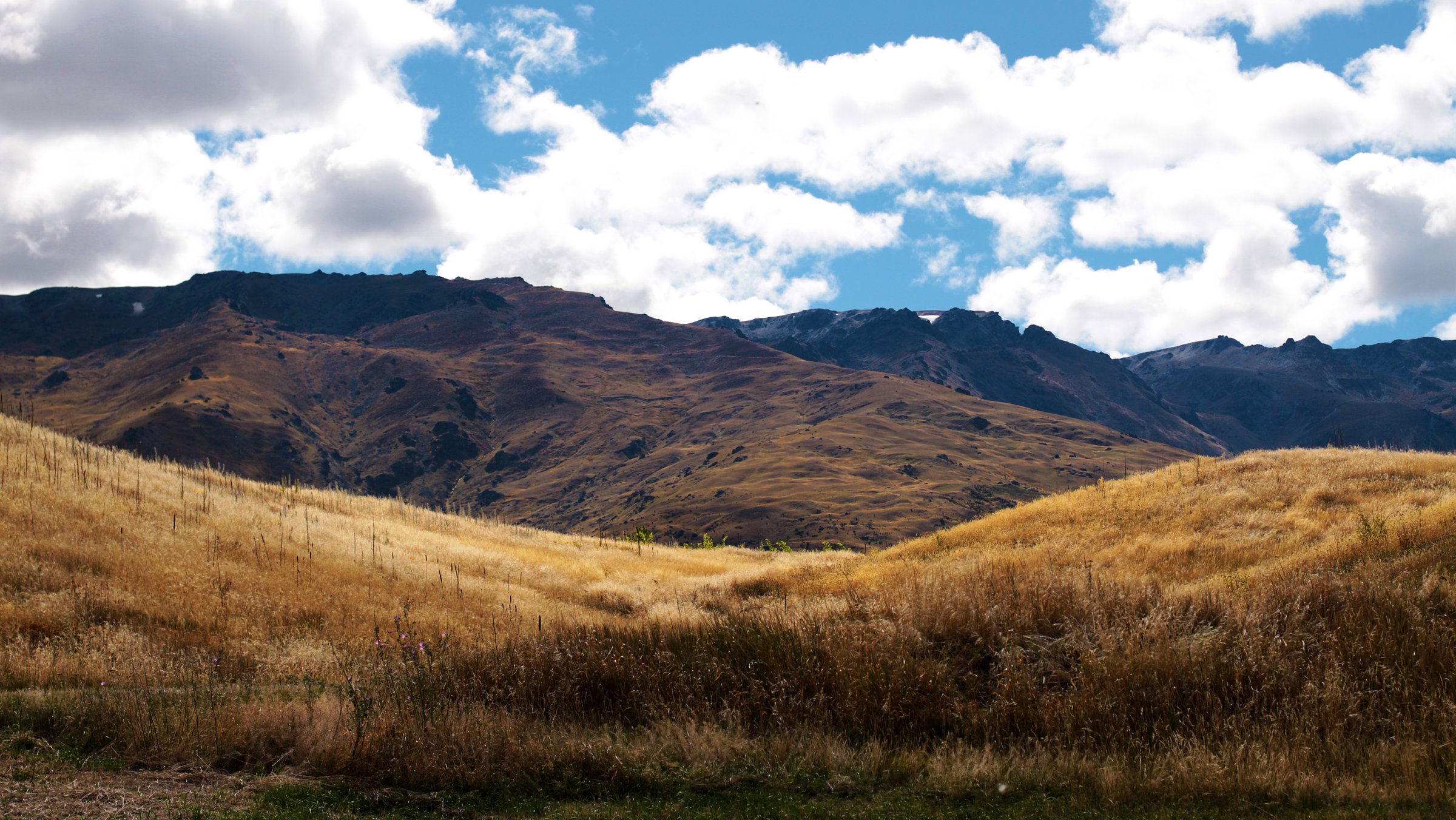
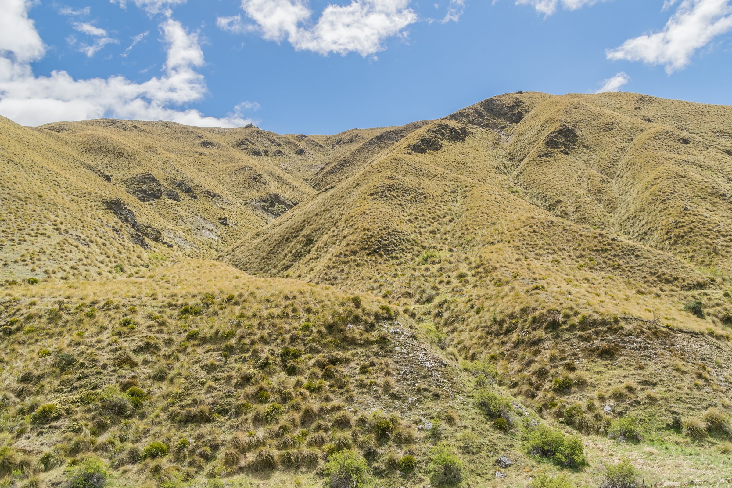
The central Pisa Range covers the high plateau around Mt Pisa, Lake McKay, Kirtle Burn, Tinwald Burn and Snow Farm. DOC identifies Mt Pisa at 1,963 m as the highest point in the range, and the surrounding country is open tussock, schist tors, old 4WD routes, hut links, small alpine tarns and exposed ridgelines.
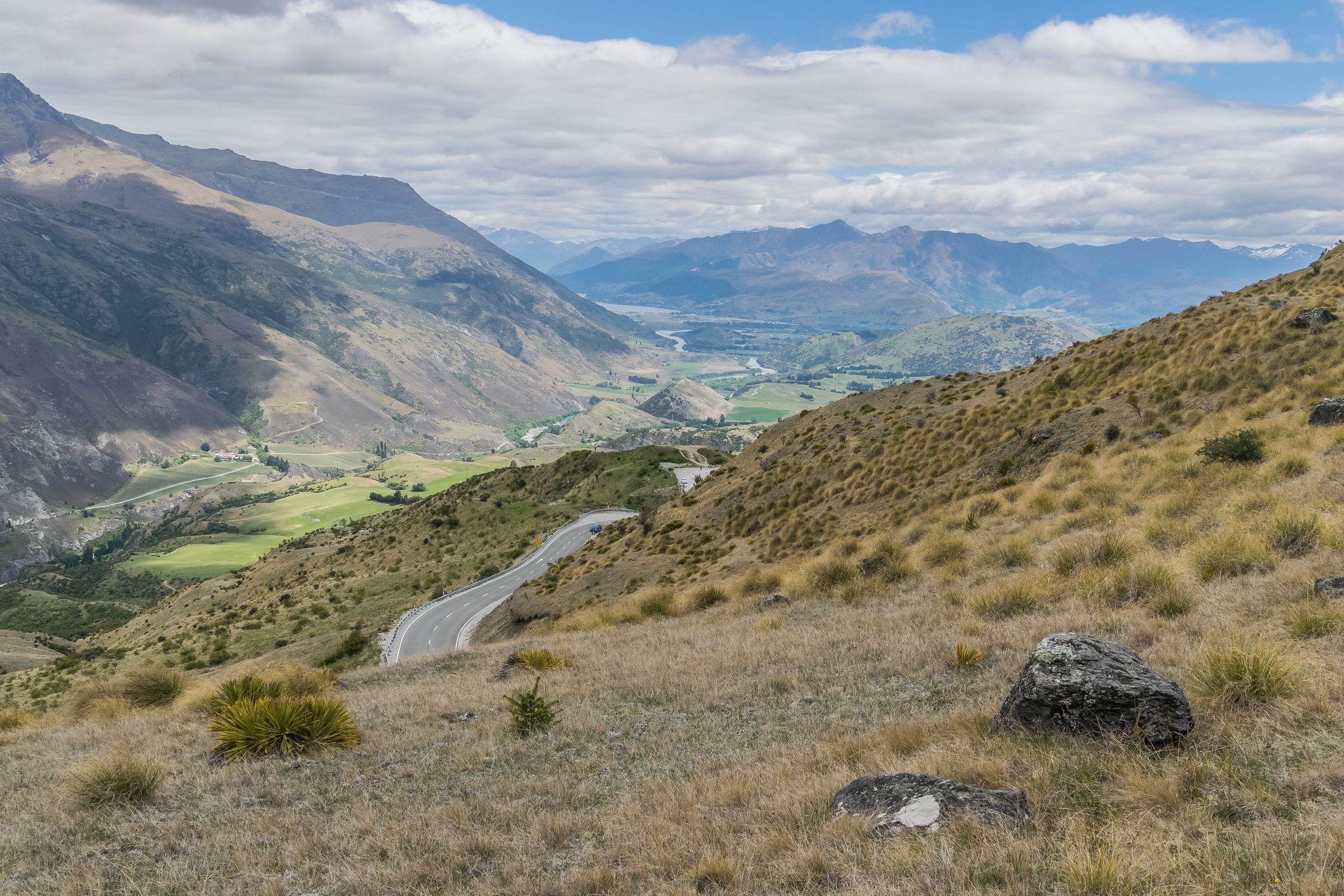
The main practical access points are the Snow Farm / Waiorau road from Cardrona Valley, the Kirtle Burn Track from the western side, and Tinwald Burn Ridge Track from the Lake Dunstan / Mount Pisa side. Access can involve private roads, tolls, locked gates, Snow Farm trail passes or Southern Hemisphere Proving Grounds procedures.
This is serious high-country day-walking despite the relatively rounded terrain. DOC warns of severe wind, whiteout, rapidly changing weather, avalanche terrain from May into November, unreliable water and very hot dry summer conditions. The best normal walking season is late spring to autumn, with winter routes only for parties with snow and avalanche skills.
Selection rationale
The five hikes below cover the central range’s most important objectives: Mt Pisa from the east, Kirtle Burn’s hut loop, Lake McKay from Snow Farm, the Column Rocks tor landscape, and a shorter Snow Farm lookout route. Several are partly verified rather than fully verified because official sources publish access and route context but not complete elevation statistics.
Summary table
| # | Hike | Country | Route type | Distance | Gain | Max elevation | Difficulty |
|---|---|---|---|---|---|---|---|
| 1 | Mt Pisa via Tinwald Burn Ridge Track | New Zealand | Out-and-back | 24.9 km | 1,725 m from AllTrails | 1,963 m | Strenuous |
| 2 | Kirtle Burn Track Loop | New Zealand | Loop | 12.38 km | Intermediate | ||
| 3 | Lake McKay from Snow Farm | New Zealand | Out-and-back | Approx. 27 km return if Snow Farm’s 13.5 km one-way figure is used | Approx. 1,852 m from OSM/Mapcarta | Hard | |
| 4 | Column Rocks via Tinwald Burn Ridge Track | New Zealand | Out-and-back | 20.1 km | 1,622 m from AllTrails | 1,883 m from AllTrails | Strenuous |
| 5 | Bob and Daisy Lee Lookout from Snow Farm | New Zealand | Out-and-back | 11 km | Easy-intermediate |
1. Mt Pisa via Tinwald Burn Ridge Track
Snapshot
Itinerary
From the Mount Pisa Station access car park, the Tinwald Burn Ridge Track climbs steeply on a farm track above Tinwald Burn to the Pisa Range Ridge. From the ridge, continue toward Mt Pisa, the highest summit of the range, then return by the same route.
Why it is essential
Mt Pisa is the central range’s high point and most important summit objective. The Tinwald Burn route is the main official eastern access from the Lake Dunstan side.
Equipment
Mountain hiking equipment for a very long day: sturdy boots, trekking poles, windproof/waterproof layers, warm layer, gloves/hat outside midsummer, sun protection, high water capacity, food, map/GPS, navigation backup, headtorch, emergency shelter and a distress beacon recommended.
Hazards and notes
The route is long, exposed and water-poor. DOC notes that the final 3 km to the car park is a narrow farm track and 4WD may be required depending on conditions. Avalanche terrain, whiteout, strong winds, private-land rules and no-dog access restrictions apply.
GPX / KML links
| Source | URL | Format / access | Reuse status |
|---|---|---|---|
| DOC: Tinwald Burn Ridge Track | doc.govt.nz | Official route page / map source | DOC terms; route geometry reuse not stated; source-map only |
| AllTrails: Mount Pisa via Tinwald Burn Ridge Track | alltrails.com | Secondary route page / app map | AllTrails terms apply; GPX export terms not verified |
External links
- DOC — Tinwald Burn Ridge Track
- DOC — Pisa Range Ridge Track
- AllTrails — Mount Pisa via Tinwald Burn Ridge Track
2. Kirtle Burn Track Loop
Snapshot
Itinerary
The upper loop climbs by a steep zigzag to gain a ridgeline leading toward the Mt Pisa side of the range. A turn-off drops to Kirtle Burn Hut. From the hut, the lower route follows the Roaring Meg / Kirtle Burn drainage back toward the conservation boundary, with two stream crossings.
Why it is essential
Kirtle Burn gives the central Pisa Range a compact hut-and-loop day walk, linking Snow Farm access, high tussock, a DOC hut and stream-side return terrain.
Equipment
Mountain hiking equipment: sturdy boots, warm and waterproof layers, windproof layer, sun protection, food, water, map/GPS and navigation backup. Trekking poles are useful for the stream and descent sections.
Hazards and notes
DOC warns that the lower route crosses the stream twice and snow can conceal stream channels. Access requires attention to the Snow Farm / SHPG rules, road tolls or passes. The area is exposed to whiteout, severe wind and avalanche conditions from May into November.
GPX / KML links
| Source | URL | Format / access | Reuse status |
|---|---|---|---|
| DOC: Kirtle Burn Track | doc.govt.nz | Official route page / map source | DOC terms; route geometry reuse not stated; source-map only |
| AllTrails: Kirtle Burn Hut to Snowfarm Lodge | alltrails.com | Secondary route segment / app map | AllTrails terms apply; GPX export terms not verified |
External links
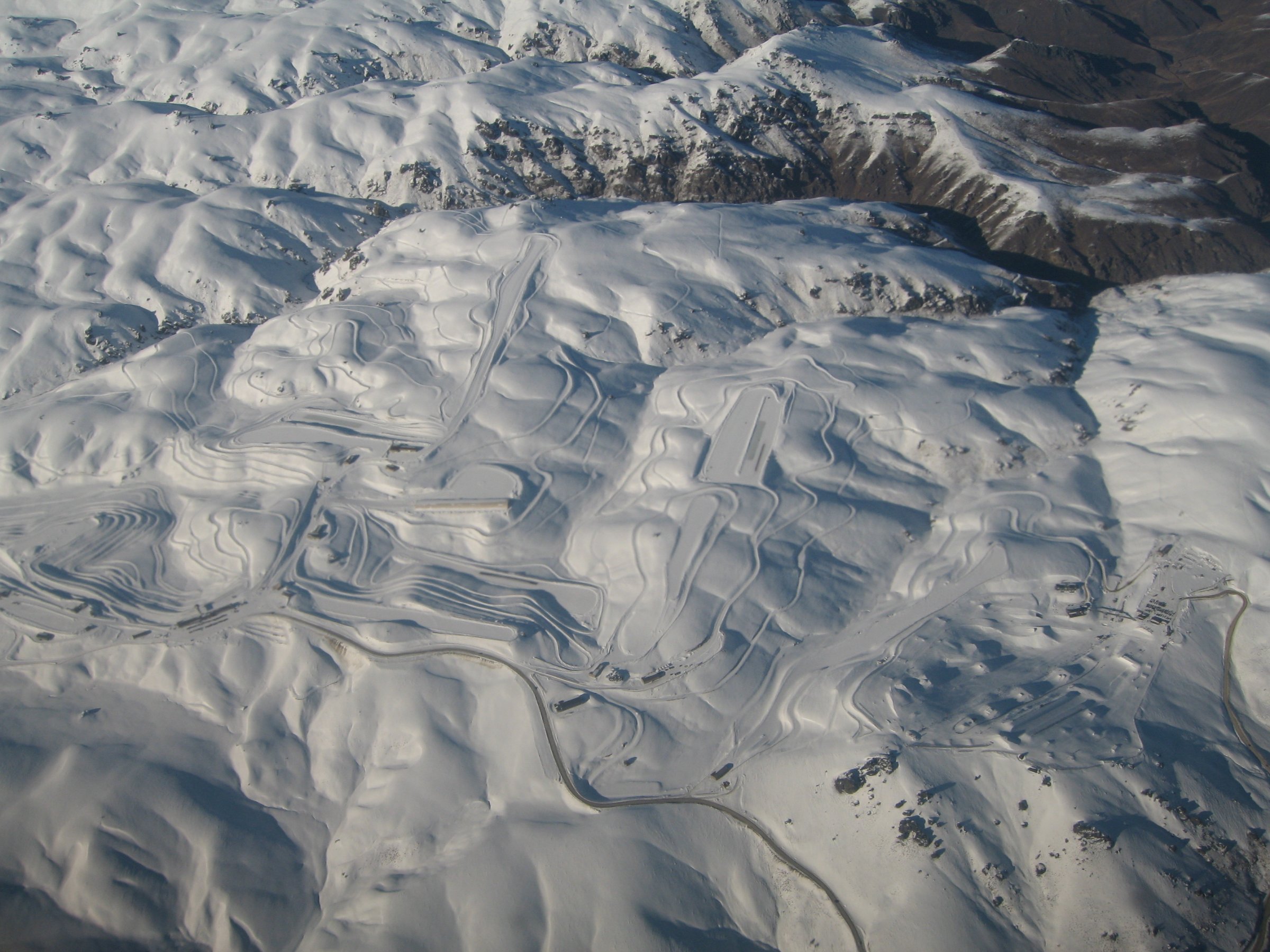
3. Lake McKay from Snow Farm
Snapshot
Itinerary
From Snow Farm base, follow the River Run / Kirtle Burn access described by Snow Farm to reach the Kirtle Burn Track. Continue past Kirtle Burn Hut to the Pisa Range Ridge Track junction, then follow the ridge toward Lake McKay. Return the same way unless a legal alternate route has been planned and verified.
Why it is essential
Lake McKay is one of the high-Pisa tarns and a central scenic feature of the range. From Snow Farm, it represents the main high-plateau tarn objective.
Equipment
Mountain hiking equipment for a long exposed day: sturdy boots, warm/windproof/waterproof layers, sun protection, food, high water capacity, map/GPS, navigation backup, headtorch, emergency shelter and a distress beacon recommended.
Hazards and notes
This entry needs GPX confirmation before publication. Snow Farm access can require a gate code, road toll, trail donation/pass or SHPG easement procedure. The route is exposed, water availability is not assured, and whiteout or avalanche conditions make it unsuitable without winter skills.
GPX / KML links
| Source | URL | Format / access | Reuse status |
|---|---|---|---|
| Snow Farm Pisa hiking and biking trails | snowfarm.nz | Local route notes and map context | Terms not checked; distance/context only |
| DOC: Pisa Range Ridge Track | doc.govt.nz | Official route page / map source | DOC terms; geometry reuse not stated; source-map only |
| DOC: Kirtle Burn Track | doc.govt.nz | Official route page / map source | DOC terms; geometry reuse not stated; source-map only |
External links
- Snow Farm NZ — Pisa hiking and biking trails
- DOC — Kirtle Burn Track
- DOC — Pisa Range Ridge Track
- Mapcarta — Lake McKay reference
4. Column Rocks via Tinwald Burn Ridge Track
Snapshot
Itinerary
Follow the Tinwald Burn Ridge Track from the Mount Pisa side to the Pisa Range Ridge, then continue on the ridge toward the Column Rocks area. DOC identifies Column Rocks as a striking tor feature on the ridge south of the Tinwald Burn junction. Return by the same route.
Why it is essential
Column Rocks represents the schist-tor geology that gives the Pisa tops their distinctive character. It is included as the central range’s rock-landscape objective, pending stronger official statistics.
Equipment
Mountain hiking equipment for a strenuous exposed route: sturdy boots, poles, windproof/waterproof layers, warm layer, sun protection, food, high water capacity, map/GPS, navigation backup, headtorch and emergency shelter.
Hazards and notes
The route shares Tinwald Burn’s steep private-land approach, lack of reliable water, severe exposure, whiteout risk and winter avalanche danger. Official DOC material mentions Column Rocks within the full ridge route but does not publish this as a separate day walk.
GPX / KML links
| Source | URL | Format / access | Reuse status |
|---|---|---|---|
| DOC: Tinwald Burn Ridge Track | doc.govt.nz | Official route page / map source | DOC terms; geometry reuse not stated; source-map only |
| DOC: Pisa Range Ridge Track | doc.govt.nz | Official route context | DOC terms; geometry reuse not stated; source-map only |
| AllTrails: Column Rocks via Tinwald Burn Ridge Track | alltrails.com | Secondary route page / app map | AllTrails terms apply; GPX export terms not verified |
External links
- DOC — Tinwald Burn Ridge Track
- DOC — Pisa Range Ridge Track
- AllTrails — Column Rocks via Tinwald Burn Ridge Track
5. Bob and Daisy Lee Lookout from Snow Farm
Snapshot
Itinerary
From Snow Farm base, follow Snow Farm’s summer hiking and biking trail network to Bob and Daisy Lee Lookout. The lookout can also be reached as a short side trip from Musterers Hut. Return by the same route or by the current signed Snow Farm trail network if open.
Why it is essential
This is the central range’s shorter Snow Farm walking option. It balances the strenuous Mt Pisa, Lake McKay and Tinwald routes with an easier high-country viewpoint.
Equipment
Standard hiking equipment with mountain-weather layers: walking shoes or boots, windproof/waterproof layer, warm layer, water, snacks, sun protection and map/GPS or current Snow Farm trail map.
Hazards and notes
Snow Farm states that day visitors need the access-road code and road toll during the summer/off-season access period. Trail status, road condition, weather, and any winter pass requirements must be checked directly with Snow Farm.
GPX / KML links
| Source | URL | Format / access | Reuse status |
|---|---|---|---|
| Snow Farm Pisa hiking and biking trails | snowfarm.nz | Local route notes / trail-map context | Snow Farm terms not checked; source-map only |
| Pisa Range Access Road | pisaaccess.co.nz | Access rules and road toll information | Not a route file; access source only |
External links
External links
| Source | URL |
|---|---|
| DOC — Pisa Conservation Area | doc.govt.nz |
| DOC — Tinwald Burn Ridge Track | doc.govt.nz |
| DOC — Kirtle Burn Track | doc.govt.nz |
| DOC — Kirtle Burn Hut | doc.govt.nz |
| DOC — Pisa Range Ridge Track | doc.govt.nz |
| Snow Farm NZ — Pisa hiking and biking trails | snowfarm.nz |
| Pisa Range Access Road | pisaaccess.co.nz |
| AllTrails — Mount Pisa via Tinwald Burn Ridge Track | alltrails.com |
| AllTrails — Kirtle Burn Hut to Snowfarm Lodge | alltrails.com |
| AllTrails — Column Rocks via Tinwald Burn Ridge Track | alltrails.com |
| Mapcarta — Lake McKay reference | mapcarta.com |