Regional overview
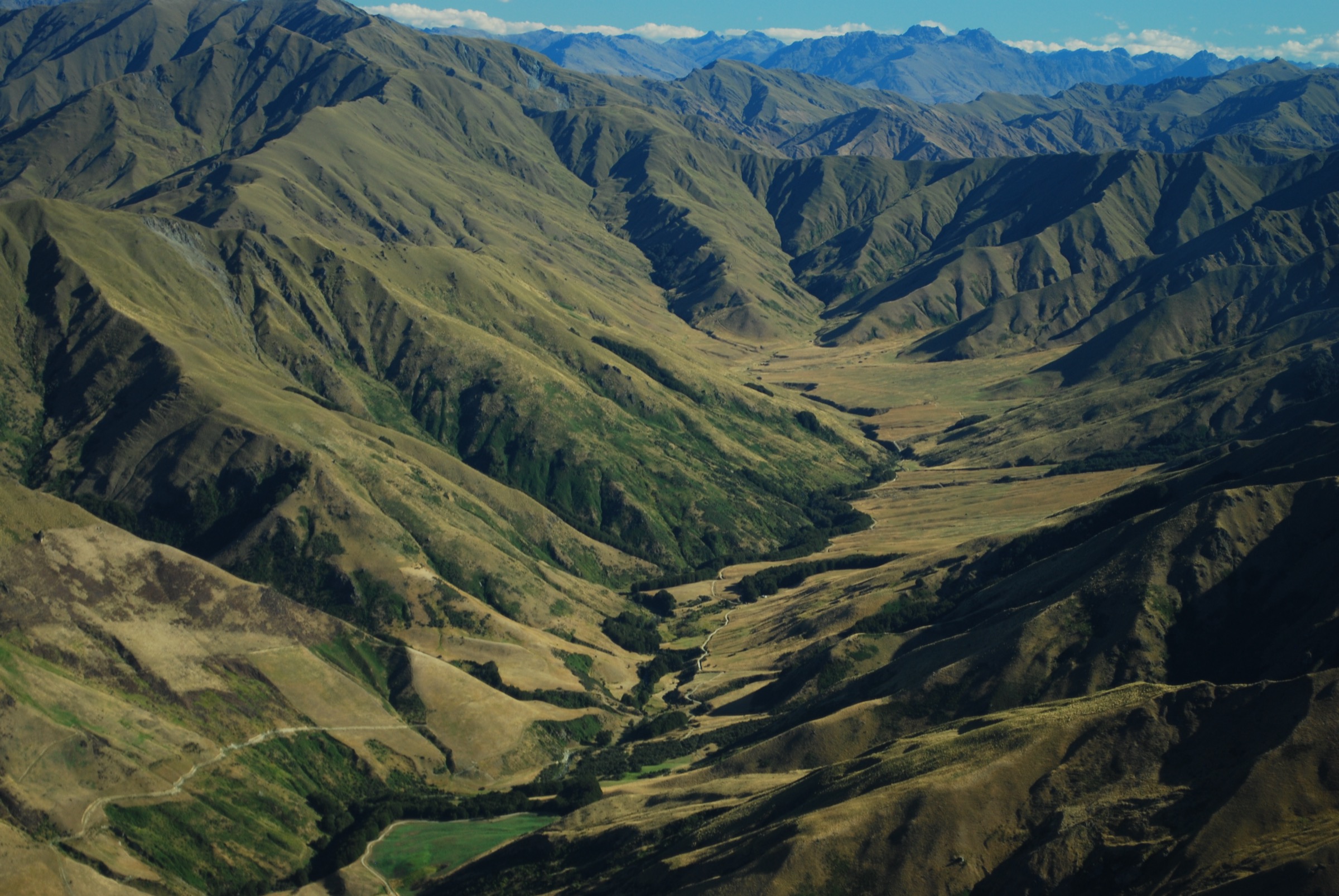
Soho Basin lies on the southern and western side of the Mount Cardrona / Harris Mountains ski and high-country landscape, adjoining Cardrona Alpine Resort and the wider Mahu Whenua / Motatapu country between Wānaka and Queenstown. In winter it is primarily known through Cardrona’s Soho ski terrain and earlier cat-ski operations. Public summer hiking access inside the basin itself is limited or unclear from the sources checked.
For a reliable hiking catalogue, the Soho Basin entry is therefore treated as the legal public and publicly documented walking perimeter of the Soho / Motatapu / Mahu Whenua high country: Motatapu Track day sections, Macetown / Big Hill historic routes, and the Coronet Loop / Bush Creek side of the covenanted track network. These are close to, cross, or look into the same high-country station landscape without implying unrestricted access to private ski terrain.
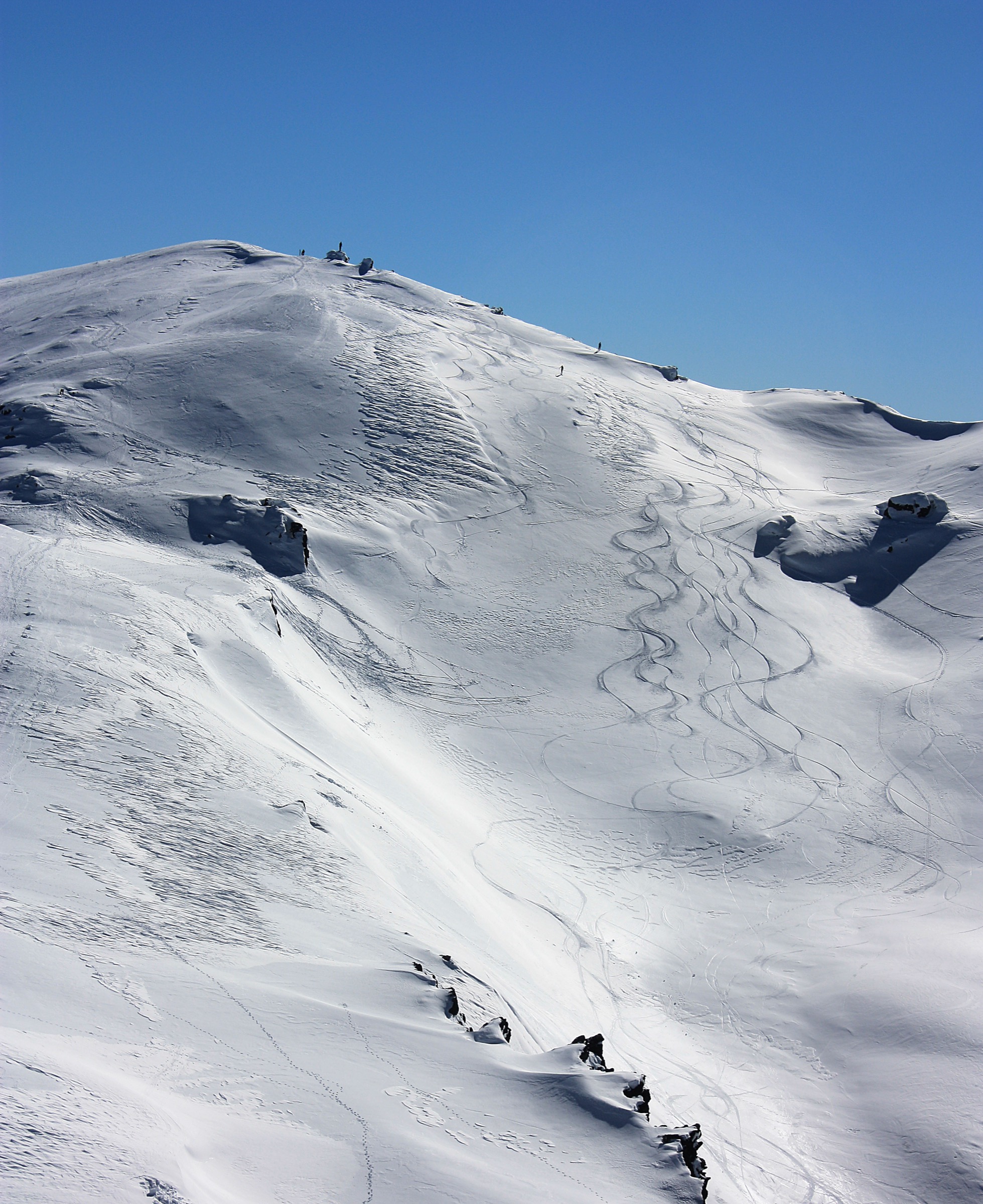
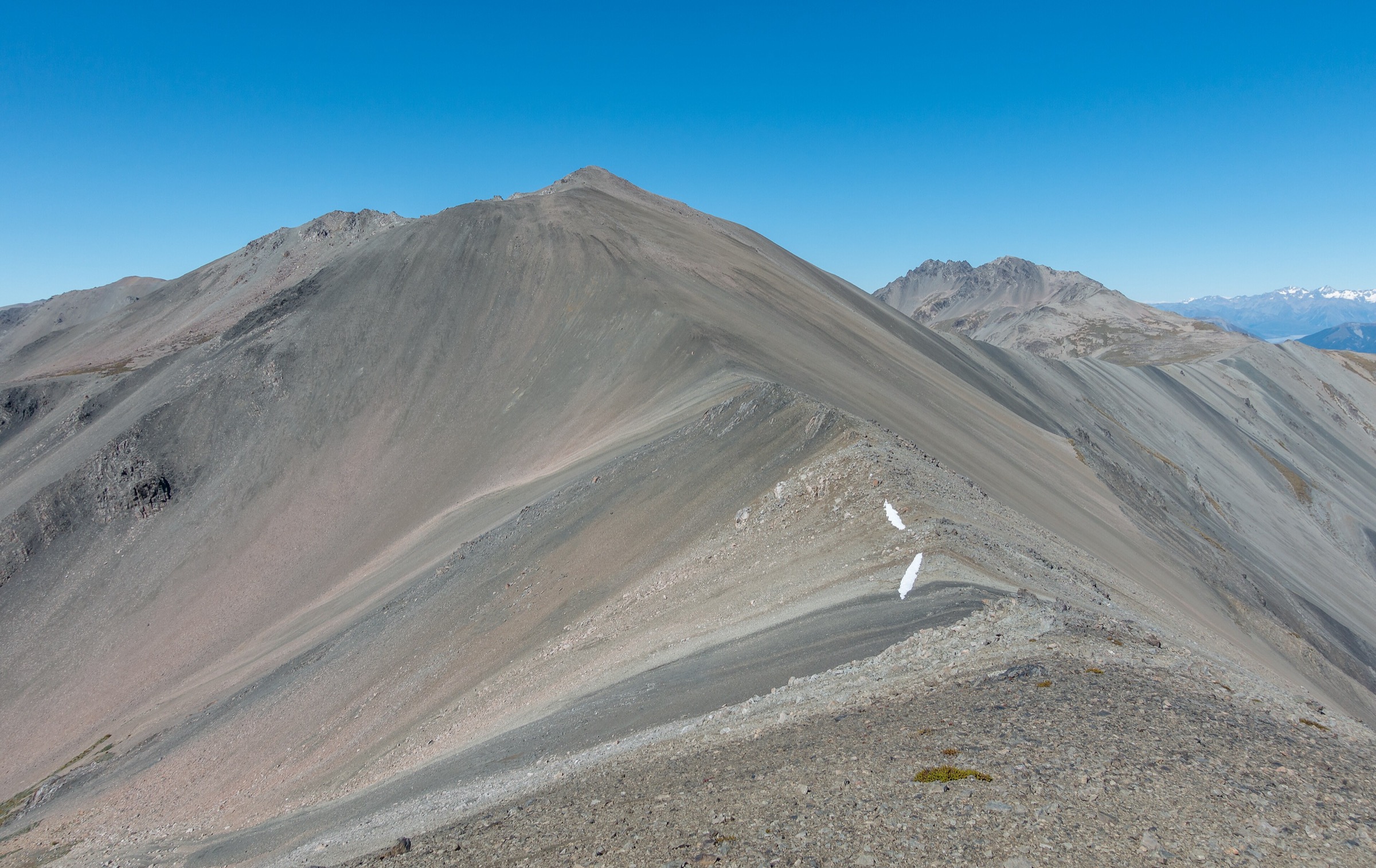
The terrain is steep, dry, exposed and often remote: poled tussock ridges, old pack tracks, river crossings, private-station easements, historic mining routes, and high saddles. The best hiking season is late spring to autumn. Winter and spring can bring snow, avalanche terrain, closed trails, high rivers and resort operations.
Selection rationale
No set of five fully public, summer, Soho Basin-only day hikes was verified. The five entries below are the best legally documented day-hike or day-section candidates for the Soho Basin / Mt Soho / Motatapu edge: Highland Creek to Roses Hut, Roses Hut to Macetown, Macetown to Arrowtown, Big Hill Trail, and a Coronet Loop / Bush Creek day section. Several require shuttles, hut-based context, or access confirmation, so verification labels are deliberately conservative.
Summary table
| # | Hike | Country | Route type | Distance | Gain | Max elevation | Difficulty |
|---|---|---|---|---|---|---|---|
| 1 | Motatapu Track: Highland Creek Hut to Roses Hut | New Zealand | Point-to-point day section | 11.0–11.1 km | 921 m from AllTrails | Hard | |
| 2 | Motatapu Track: Roses Hut to Macetown | New Zealand | Point-to-point day section | 10 km | Roses Saddle above 1,270 m | Hard | |
| 3 | Macetown to Arrowtown | New Zealand | Point-to-point | 13.4–15 km | 490 m from AllTrails Macetown-to-Arrowtown record | Hard | |
| 4 | Big Hill Trail | New Zealand | Out-and-back / loop variants | 15.5–17.5 km | 811–886 m depending on source | Above 1,000 m saddle | Hard |
| 5 | Bush Creek / Coronet Face Water Race day section | New Zealand | Out-and-back or partial traverse | Day-section stats unresolved; full Coronet Loop 50–53.4 km | Day-section gain unresolved; full loop 1,400–1,763 m | Hard |
1. Motatapu Track: Highland Creek Hut to Roses Hut
Snapshot
Itinerary
From Highland Creek Hut, the Motatapu Track crosses Highland Creek, then sidles and climbs above an unnamed creek onto a prominent spur. DOC describes the route continuing up the spur, sidling along a steep tussock face, dropping into a small gully, crossing a creek through a small beech patch, and climbing onto the south-west ridge off Knuckle Peak before descending toward the Motatapu River. Roses Hut lies across the open flats.
As a catalogue day hike, this is best treated as a one-day section within the full Motatapu Track rather than a road-accessed day walk.
Why it is essential
This section gives the most concentrated Motatapu / Soho high-country ridge experience: steep tussock faces, upland basins, long views and hut-to-hut travel across the covenanted station landscape.
Equipment
- Mountain hiking equipment with overnight-tramp safety margin: sturdy boots, windproof/waterproof layers, warm layer
- Sun protection
- Food and water treatment
- Map/GPS and navigation backup
- Headtorch
- Emergency shelter and distress beacon recommended
Hazards and notes
- DOC describes the Motatapu Track as demanding, exposed and physically challenging, with steep sidles requiring care.
- Water is limited, rivers and streams can rise rapidly, and wintry conditions can occur at any time.
- Dogs are not permitted.
- Hut booking/ticket requirements and access conditions should be checked before using this as part of a larger tramp.
GPX / KML links
| Source | URL | Format / access | Reuse status |
|---|---|---|---|
| DOC Motatapu Track | doc.govt.nz | Official route page / map source | DOC terms; route geometry reuse not stated |
| DOC Motatapu Track brochure | doc.govt.nz | Official PDF map and route notes | Route geometry reuse not stated |
| AllTrails: Motatapu Track Highland Creek Hut to Roses Hut | alltrails.com | Route page / app map | AllTrails terms apply; GPX export terms not verified |
External links
- DOC — Motatapu Track
- DOC — Motatapu Track brochure (PDF)
- AllTrails — Motatapu Track: Highland Creek Hut to Roses Hut
2. Motatapu Track: Roses Hut to Macetown
Snapshot
Itinerary
From Roses Hut, the track crosses a small creek and climbs the old pack track to Roses Saddle above 1,270 m. This is the crossover between the Motatapu and Arrow catchments. DOC notes that in low or normal river levels it is quicker to follow the river toward Macetown, passing old gold workings and hand-stacked stone walls. If the river is high or discoloured, the safer route is the track sidling above the river and joining an old water race to Macetown.
This is a day section of the Motatapu Track, not a simple standalone walk from a road-accessed trailhead.
Why it is essential
Roses Saddle is the historic crossing from Motatapu into the Arrow / Macetown goldfields. It is the key transition between the Soho / Motatapu high country and the cultural landscape of Macetown.
Equipment
- Mountain hiking equipment: sturdy boots, weatherproof and windproof layers, warm layer
- Sun protection
- Food and water treatment
- Map/GPS and navigation backup
- Headtorch and emergency shelter
Hazards and notes
- River conditions matter. DOC advises waiting or turning back if the river is high.
- The route is exposed, remote and part of an advanced multi-day tramping track.
- Macetown access by vehicle involves a rough 4WD road with many fords and should not be assumed available.
GPX / KML links
| Source | URL | Format / access | Reuse status |
|---|---|---|---|
| DOC Motatapu Track | doc.govt.nz | Official route page / map source | DOC terms; route geometry reuse not stated |
| DOC Motatapu Track brochure | doc.govt.nz | Official PDF map and route notes | Route geometry reuse not stated |
| OpenStreetMap search | openstreetmap.org | OSM search/map | OSM data is ODbL; geometry cross-check only |
External links
3. Macetown to Arrowtown
Snapshot
Itinerary
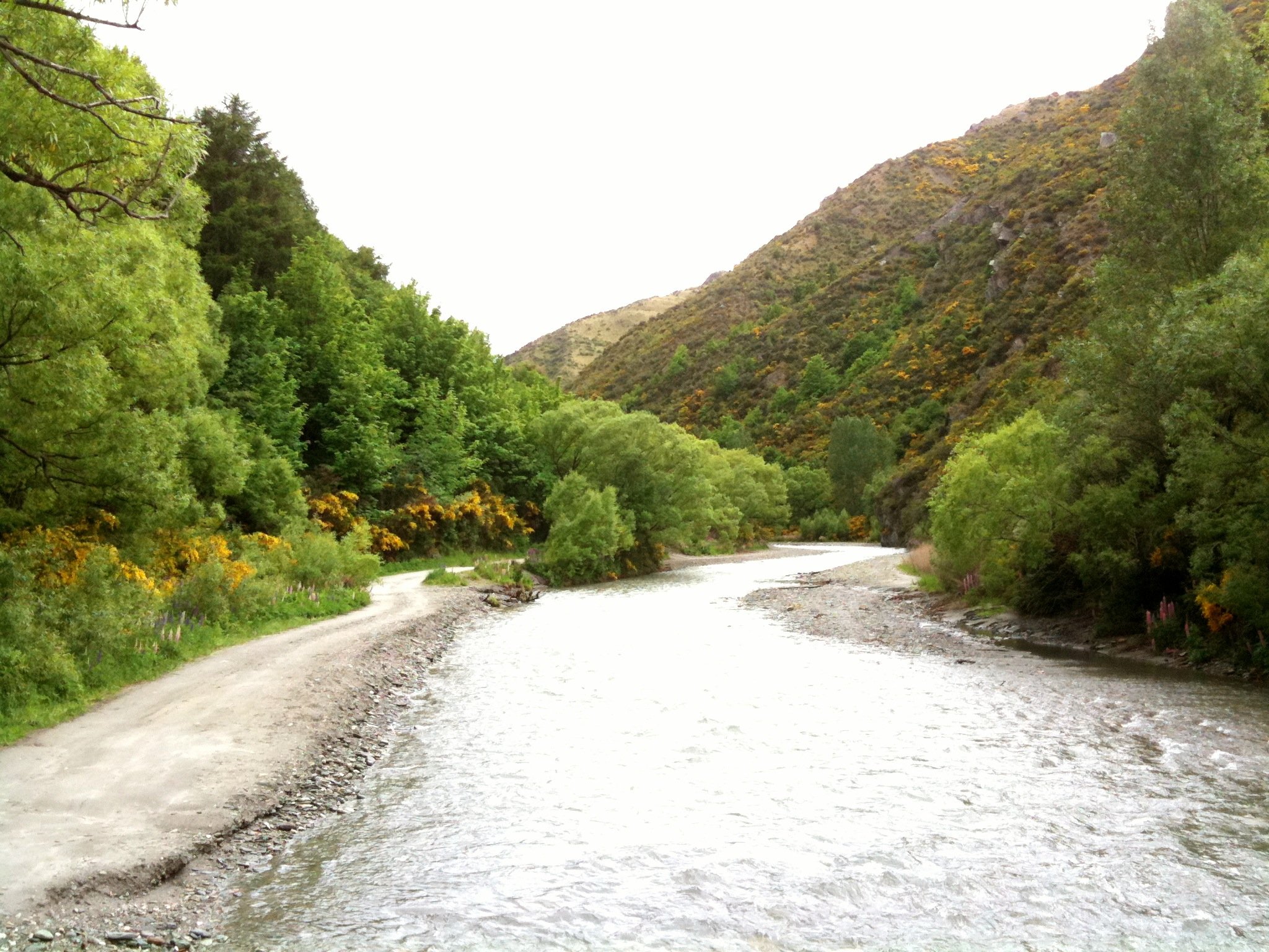
The route follows the Macetown 4WD road along the Arrow River corridor from Macetown Historic Reserve to Arrowtown. DOC notes numerous river crossings, historic points of interest, and a highline option for walkers and bikers who want to avoid some river crossings near the Norman Smith footbridge. From Eight Mile Creek onward, walkers can use a narrow, exposed track for the last few kilometres to keep feet dry, following orange poles.
The route can be walked in either direction, but using it as a Soho / Motatapu exit day normally means descending from Macetown to Arrowtown.
Why it is essential
Macetown to Arrowtown is the historic goldfields exit from the Harris / Motatapu backcountry. It connects the Motatapu Track, Macetown Historic Reserve, Arrow River and Arrowtown’s Chinese Settlement in one culturally important day.
Equipment
- Mountain hiking equipment: sturdy boots or trail shoes suitable for repeated wet crossings
- Weatherproof layer, warm layer
- Sun protection
- Water and food
- Map/GPS
- Headtorch
- Trekking poles are useful for river crossings
Hazards and notes
- DOC warns that Macetown Road includes narrow 4WD track, steep drop-offs, blind corners and many unbridged river crossings.
- The Arrow River can rise rapidly in rain and should not be accessed in unsafe conditions.
- Walkers share sections with 4WD vehicles, bikes and horses.
GPX / KML links
| Source | URL | Format / access | Reuse status |
|---|---|---|---|
| DOC Queenstown day walks and bike trails brochure | doc.govt.nz | Official PDF route notes and map | Route geometry reuse not stated |
| AllTrails: Macetown Campsite to Arrowtown | alltrails.com | Route page / app map | AllTrails terms apply; GPX export terms not verified |
| AllTrails: Macetown Road Track | alltrails.com | Out-and-back route page / app map | AllTrails terms apply; variant source-map only |
External links
- DOC — Queenstown day walks and bike trails brochure (PDF)
- DOC — Motatapu Track
- AllTrails — Macetown Campsite to Arrowtown
4. Big Hill Trail
Snapshot
Itinerary
Big Hill follows the old bridle route from Bush Creek via Eichardt’s Flat to the high saddle overlooking the Arrow basin. From there, walkers can return the same way or descend steeply toward Eight Mile Creek and the Macetown 4WD road in suitable conditions. The route forms one of the main walking links between Arrowtown, the Crown Range foothills and the Macetown / Soho edge.
The DOC Queenstown brochure identifies Big Hill as the main route to Macetown before Macetown Road opened in 1884.
Why it is essential
For a Soho Basin perimeter article, Big Hill is essential because it is the historic public approach from Arrowtown into the Harris / Macetown high country and touches the Mahu Whenua / Mt Soho covenant route network.
Equipment
- Mountain hiking equipment: sturdy boots, weatherproof layer, warm layer
- Sun protection
- Water and food
- Map/GPS and navigation backup
- Headtorch
Hazards and notes
- The route crosses private land.
- The high saddle is exposed, and the descent to Eight Mile Creek is rougher than the out-and-back.
- Macetown Road and Arrow River crossings should be avoided in high water.
GPX / KML links
| Source | URL | Format / access | Reuse status |
|---|---|---|---|
| DOC Queenstown day walks and bike trails brochure | doc.govt.nz | Official PDF route notes and map | Route geometry reuse not stated |
| AllTrails: Big Hill Walkway | alltrails.com | Route page / app map | AllTrails terms apply; GPX export terms not verified |
| AllTrails: Big Hill Loop | alltrails.com | Route page / app map | AllTrails terms apply; variant source-map only |
External links
- DOC — Queenstown day walks and bike trails brochure (PDF)
- AllTrails — Big Hill Walkway
- AllTrails — Big Hill Loop
- Herenga ā Nuku — Coronet Loop access context
5. Bush Creek / Coronet Face Water Race Day Section
Snapshot
Itinerary
The full Coronet Loop starts and finishes in Arrowtown, climbing Bush Creek through beech forest and schist bluffs to Bush Creek Saddle, then following the Coronet Face Water Race and later linking Deep Creek, Golden Terraces, Eight Mile Creek and Macetown Road. Queenstown Trail describes the route primarily as a backcountry mountain-bike trail but notes walkers on Bush Creek and use by hikers in shared sections.
For a day-hike catalogue, the practical candidate is a walking out-and-back from Arrowtown up Bush Creek to Bush Creek Saddle and, if conditions and access allow, along part of the Coronet Face Water Race before returning. Exact walking distance, permitted turnaround and seasonal status need confirmation before publication.
Why it is essential
This is the documented public-access track network that most directly reflects the Mahu Whenua / Soho-property landscape on the Arrowtown side. It is included as a candidate because it may be the best legal walking proxy for the otherwise access-limited Soho Basin area.
Equipment
- Mountain hiking equipment: sturdy shoes or boots, weatherproof layer, warm layer
- Water and food
- Sun protection
- Map/GPS and navigation backup
- Headtorch for longer sections
Hazards and notes
- Queenstown Trail describes the full loop as remote backcountry with steep climbs, narrow trail, exposed sections, variable surfaces, creek/river crossings, no cell reception, 4WD traffic on roads, and changeable alpine weather.
- The loop is generally closed in winter.
- Walkers must share with mountain bikers and should confirm walking permission and trail status before using any section beyond the well-used Bush Creek approach.
GPX / KML links
| Source | URL | Format / access | Reuse status |
|---|---|---|---|
| Queenstown Trail: Coronet Loop Trail | queenstowntrail.org.nz | Official trail page / map | Queenstown Trail terms; route geometry reuse not stated |
| AllTrails: Coronet Loop Track | alltrails.com | Full-loop route page / app map | AllTrails terms apply; source-map reference only for full loop |
| Herenga ā Nuku access context | herengaanuku.govt.nz | Public-access context | Site text CC BY 4.0; route geometry not provided |
External links
- Queenstown Trail — Coronet Loop Trail
- Herenga ā Nuku — Walking access easements will secure epic Coronet Loop
- AllTrails — Coronet Loop Track
External links
| Source | URL |
|---|---|
| DOC — Motatapu Track | doc.govt.nz |
| DOC — Motatapu Track brochure (PDF) | doc.govt.nz |
| DOC — Queenstown day walks and bike trails brochure (PDF) | doc.govt.nz |
| Queenstown Trail — Coronet Loop Trail | queenstowntrail.org.nz |
| Herenga ā Nuku — Coronet Loop / Mahu Whenua access context | herengaanuku.govt.nz |
| Mahu Whenua — Our Story | mahuwhenua.co.nz |
| Tourism New Zealand — Cardrona | newzealand.com |
| AllTrails — Motatapu Track: Highland Creek Hut to Roses Hut | alltrails.com |
| AllTrails — Macetown Campsite to Arrowtown | alltrails.com |
| AllTrails — Macetown Road Track | alltrails.com |
| AllTrails — Big Hill Walkway | alltrails.com |
| AllTrails — Big Hill Loop | alltrails.com |
| AllTrails — Coronet Loop Track | alltrails.com |