Regional overview
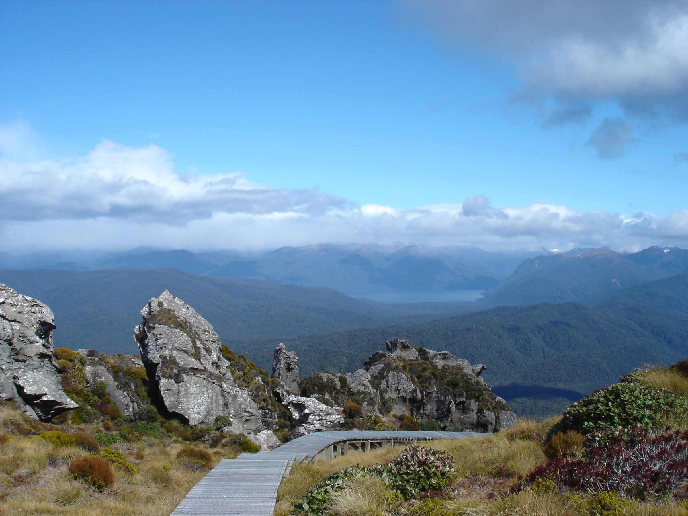
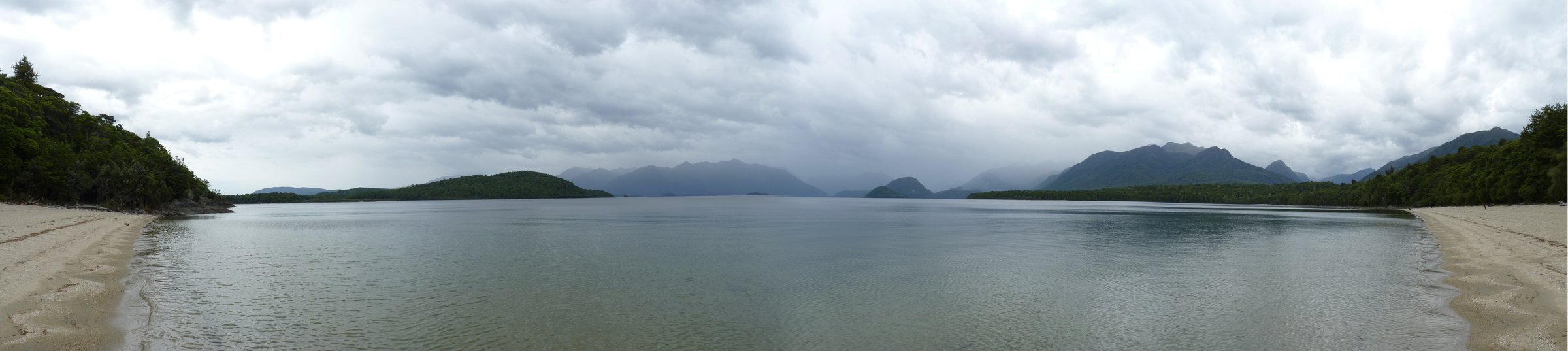
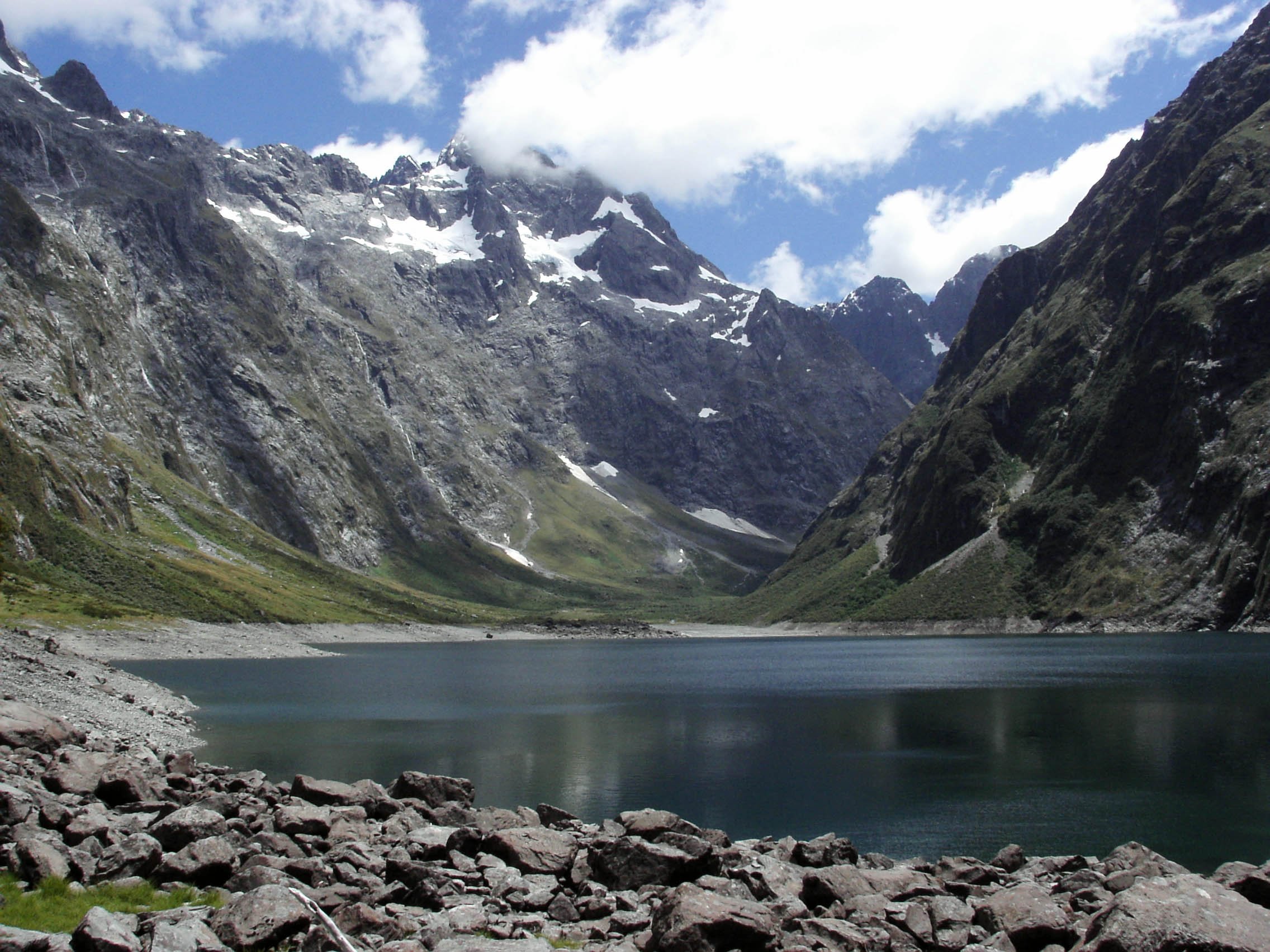
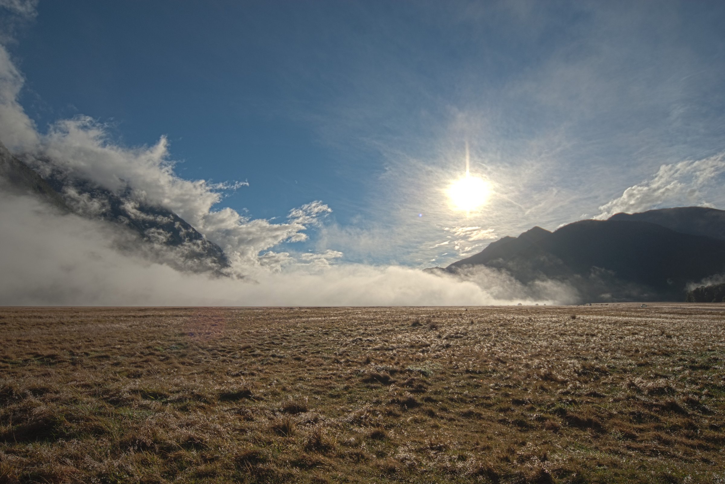
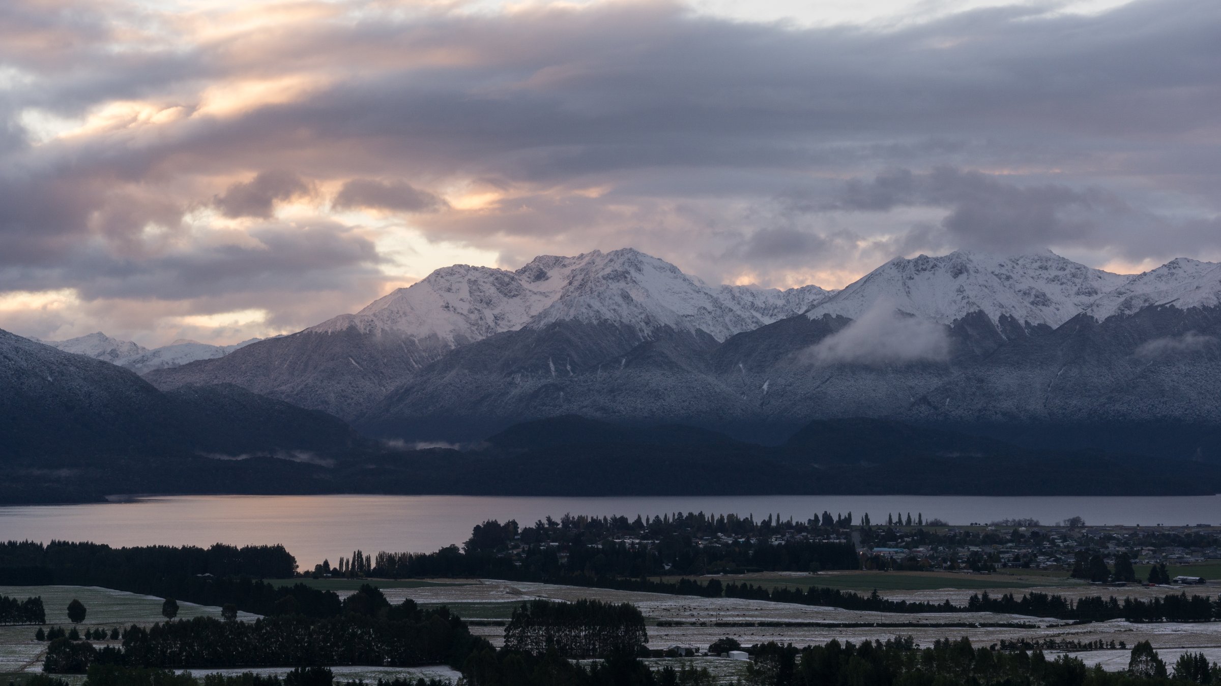
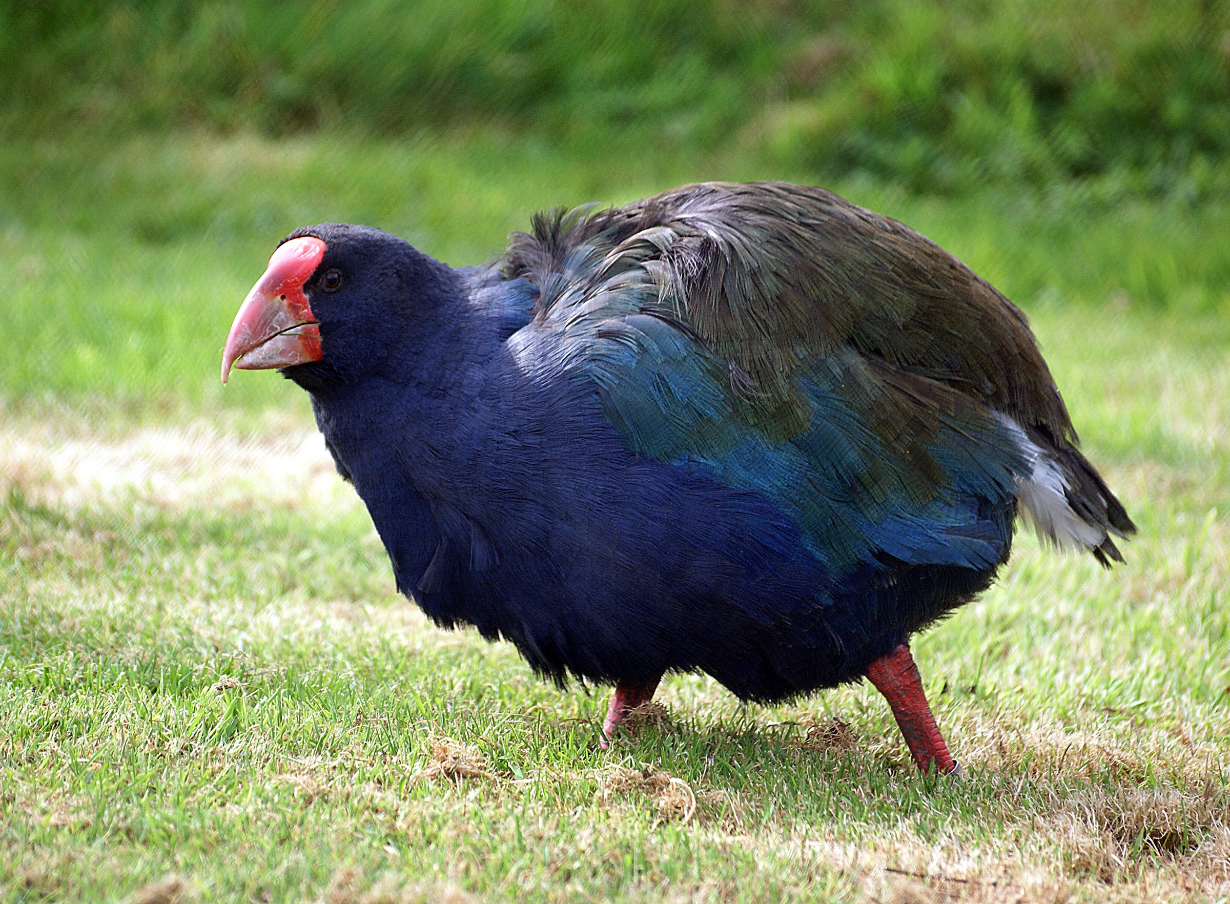
The Murchison Mountains rise west of Lake Te Anau inside Fiordland National Park. In ordinary guidebook terms this is not a normal public day-walking area: it is the core wild-takahe country of Fiordland, and DOC’s Fiordland National Park Management Plan treats the Takahē Specially Protected Area in the Murchison Mountains as a biodiversity-first, permit-only area rather than a visitor setting.
The walking character is therefore defined less by trails than by restrictions. The mountains contain steep Fiordland forest, alpine tussock, karst and cave systems, lake-shore approaches, high rainfall, and very sensitive species-management values. DOC states that all access to the Takahē Specially Protected Area requires permission, that no recreation facilities will be provided there, and that limited recreation is confined to specific permit-controlled purposes.
Catalogue decision
No catalogue-compliant set of exactly five public essential day-hikes could be verified for the Murchison Mountains. Creating five named hikes would require inventing public routes, overstating permit access, or converting non-hiking activities into hikes. This entry is therefore a restricted-access note rather than a standard five-hike catalogue entry.
Verification summary
| Status item | Result |
|---|---|
| Public day-hike selection | Not possible from verified sources |
| Main official reason | Takahē Specially Protected Area; public/recreation access by permit only |
| Recreation facilities | DOC management plan says no recreation facilities will be provided in the Takahē Specially Protected Area |
| Limited non-guided tramping | Permit-only; restricted to designated Mount Irene/western-area tracks, summer limits, small groups |
| Route statistics | Not published for public day-hike catalogue use |
| GPX/KML/source route files | No public legal route files found for catalogue-compliant day hikes |
| Photo sourcing | Open Murchison landscape/takahē context images found; no hike-specific public-route photos applicable |
Considered access contexts, not selected as catalogue hikes
| # | Access context | Why not selected as an essential public day-hike | Verification status |
|---|---|---|---|
| 1 | Mount Irene / western Murchison permit tramping | Permit-only, limited to designated tracks and very small seasonal visitor quotas; not a normal public day hike | Verified as limited permit access; route stats unresolved |
| 2 | Aurora Caves day visits | Caving access, not a hike; permit-controlled and requires speleological competence/controls | Verified as permit-controlled cave access |
| 3 | Te Ana-au Cave concession access | Guided cave tourism concession, not an independent public hiking route | Verified as concession access in management plan |
| 4 | Western Lake Te Anau shoreline strip | Boundary adjustment allows low-impact shoreline landing/use, but no maintained day-hike route was verified | Verified as shoreline access context; no hike selected |
| 5 | Ettrick Burn / lake-shore fishing access | Fishing access, not a day-hike route; controlled freshwater-pest and access rules apply | Verified as controlled recreation context; no hike selected |
Access notes
DOC and the New Zealand Conservation Authority record that the Murchison Mountains Specially Protected Area was established to protect the remaining wild takahe population. A later boundary adjustment was intended to remove specially protected status from a narrow western Lake Te Anau shoreline strip so low-impact recreational landing could occur, but this does not create a catalogue of public mountain day walks.
The Fiordland National Park Management Plan allows only limited recreation where it is consistent with takahe protection. Non-guided recreational tramping is restricted to designated tracks in the western Mount Irene area, only in December, January and February, with strict limits on group numbers, group size, camping, and hut use. Access for trout fishing and Aurora Caves is separately controlled. This is incompatible with presenting the range as a normal public day-hike region.
GPX / KML / route-file status
| Source | URL | Format / access | Reuse status |
|---|---|---|---|
| DOC Fiordland National Park Management Plan | doc.govt.nz | Official management-plan maps and access rules | DOC/Crown copyright terms unless otherwise stated; not a route file; use as access/legal source, not as GPX geometry |
| DOC NZCA boundary-adjustment advice | doc.govt.nz | Official advice page | DOC website terms; access context only |
External links
| Source | URL |
|---|---|
| DOC — Fiordland National Park Management Plan, section 5.3.4 Takahē Specially Protected Area | doc.govt.nz |
| DOC / NZ Conservation Authority — Murchison Mountains Specially Protected Area boundary advice | doc.govt.nz |
| DOC — copyright guidance | doc.govt.nz |