
Regional overview
Mid Dome is the 1,478 m summit that anchors the Cupola-Mid Dome range on the eastern flank of the Eyre Mountains / Taka Ra Haka Conservation Park, above the upper Mataura and the Five Rivers–Athol corridor in northern Southland. The country runs from SH6 farmland up through mixed-tenure ground onto tussock tops with wide views over the Mataura basin and the Eyre Mountains to the west. Unlike the Irthing, Cromel and Acton catchments on the Southern Eyres side, the Mid Dome area is not organised around a DOC route page. The strongest day objective on it — the western farm 4WD trail to the summit — is a Wilderness Magazine trip write-up rather than an official DOC track description.
The area is also a working conservation landscape. The Mid Dome Wilding Trees Charitable Trust runs an ongoing wilding-conifer control programme across the mixed tenure between the SH6 farmland and the higher public conservation land. Any day trip on the western route crosses ground where control operations may be active, and both landowner permission and the current operational status need to be confirmed before it can be treated as open.
The normal season is settled late spring to autumn. The route is broadly graded as Easy to Moderate by Wilderness Magazine at 12.6 km and around 1,118 m of ascent, but the summit tops are exposed to wind and rapid weather change and should not be attempted in poor visibility or on wet snow.
Catalogue decision
No catalogue-compliant set of five public essential day-hikes could be verified for the Mid Dome area in this pass. Only one route — the Mid Dome summit via the western farm 4WD trail — is documented with route statistics, a map PDF and a downloadable GPX from an established source. Every other lead considered either lacked standalone day-hike statistics, lacked verified public access, or lacked a licence-safe route file.
Rather than pad the count with tracks that could not be verified, this entry is published as a reduced research note. It documents the one strong candidate that can be described with confidence, records the leads considered, and states the access and operational conditions that gate the route.
This is the second Eyre Mountains research entry on the site. The Southern Eyres note covers the Irthing, Cromel and Acton corridors on the western side; this note covers the eastern Mid Dome country. There is no continuous public day-walk network stitching the two together, and the two entries should be read as separate access clusters rather than as a linked traverse.
Verification summary
| Status item | Result |
|---|---|
| Public day-hike selection | One strong candidate identified — Mid Dome summit via the western farm 4WD trail |
| Official DOC route page | No dedicated DOC route page for the Mid Dome summit or the surrounding Cupola-Mid Dome ridge |
| Route geometry | Wilderness Magazine publishes distance, ascent, time and grade; Wikipedia and NZTopoMap-derived context confirm the 1,478 m summit elevation |
| Access / trailhead | SH6 approach about 7 km north of Five Rivers, then private farm access requiring permission from Rent A Bull farm |
| GPX / KML / source route files | Wilderness Magazine hosts a GPX and a map PDF; both HTTP 200 verified on 2026-07-04; Wilderness terms restrict redistribution |
| Photo sourcing | No route-specific licence-compatible image of the Mid Dome route located; the cover uses a general Eyre Mountains landscape from Wikimedia Commons |
| Publication status | Reduced research note; not a finished five-hike catalogue entry |
Candidate summary
| # | Candidate | Trailhead | Route type | Distance | Gain | Max elevation | Difficulty |
|---|---|---|---|---|---|---|---|
| 1 | Mid Dome summit via western farm 4WD trail | SH6 lay-by ~7 km north of Five Rivers, then farm access | Out-and-back | 12.6 km | 1,118 m | 1,478 m | Easy–Moderate (Wilderness); alpine exposure on the summit tops |
Candidate 1: Mid Dome summit via western farm 4WD trail
Snapshot
Itinerary
From the SH6 lay-by about 7 km north of Five Rivers, the route leaves the highway through a farm gate on the western side of the Mataura basin. A 4WD farm trail climbs steadily out of the pasture and onto the tussock, gaining height on a broad shoulder. The trail continues on open ground toward the summit block of Mid Dome at 1,478 m, from which there are wide views west into the Eyre Mountains and east across the upper Mataura to the Hector and Garvie ranges. Return is by the same line. The route also touches a junction toward Pt1300 and Cupola on the ridge above the farm section, but that spur is not carried further in this note because standalone day-hike statistics for it were not verified.
Why it might matter
Mid Dome is the most sourceable summit day-objective on the eastern side of the Eyre Mountains. It gives a clear tussock-tops payoff in a single day, at a distance and ascent that place it within the range of a fit day walker, and it complements the western-side valley-and-hut character documented in the Southern Eyres note. Its main limitation for a “catalogue” entry is not the route itself but the surrounding access and operational context, which puts a permission conversation and a status check on every trip.
Equipment
- Tramping boots with good ankle support for the 4WD trail and tussock tops
- Softshell, rain shell and warm mid-layer; hat and gloves outside midsummer
- 2.5–3 L water and food for a full day — no reliable water on the higher tops
- Map, compass and GPS with the route pre-loaded from the verified Wilderness GPX
- Sun protection — the tussock tops are fully exposed
- Personal Locator Beacon strongly recommended
- Head torch with spare batteries in case of a late finish
Hazards and notes
- Access is not automatic: the route crosses private farmland managed by Rent A Bull farm and requires landowner permission before travel.
- The Mid Dome area is inside an active wilding-conifer control landscape managed by the Mid Dome Wilding Trees Charitable Trust; check the current operational status of any control work before entering the higher ground.
- The summit tops are exposed to wind and rapid weather change; visibility can drop fast even in warm valley conditions.
- No water is reliable on the upper route — carry the full day’s supply from the start.
- Snow can linger into late spring on the summit block and along the ridge junction toward Pt1300 and Cupola.
- The DOC Eyre Mountains / Taka Ra Haka Conservation Park page carries independent alerts for the wider park; re-check both DOC and Trust status before travel.
Other leads considered
| Lead | Evidence found | Decision |
|---|---|---|
| Pt1300 / Cupola side route from the Mid Dome saddle | Wilderness Magazine mentions a track junction toward Pt1300 and Cupola from the western route | Not carried as a stand-alone candidate — no standalone day-hike statistics, access statement or source route file located in this pass |
| East Dome / West Dome approaches | The neighbouring named domes are geographically relevant to the Mid Dome cluster | Not selected — public walking access, route line, statistics and current permission status were not verified |
| Mid Dome wilding-pine control area walks | The Mid Dome Wilding Trees Charitable Trust verifies the conservation and control context, mixed tenure and current programme | Not selected — the Trust does not publish public day-walk route details |
| Farm and high-country tracks around Five Rivers and Athol | Regional maps show farm and station tracks in the surrounding country | Not selected — access appears to depend on private land or station tracks; no licence-safe route source or official public walking route located |
GPX / KML / route-file status
| Source | URL | Format | Licence / terms | Reuse status |
|---|---|---|---|---|
| Wilderness Magazine — Mid Dome, Southland | wildernessmag.co.nz | Trip report and route page | Wilderness Magazine terms apply | Reference source for distance, ascent, time and grade |
| Wilderness Magazine — Mid Dome GPX | wildernessmag.co.nz | GPX download | Wilderness Magazine terms apply | HTTP 200 verified 2026-07-04; reference use only |
| Wilderness Magazine — Mid Dome PDF map | wildernessmag.co.nz | Route map PDF | Wilderness Magazine terms apply | HTTP 200 verified 2026-07-04; reference use only |
| DOC — Eyre Mountains / Taka Ra Haka Conservation Park | doc.govt.nz | Park overview | DOC website terms | Access, alert and management context only |
Photos
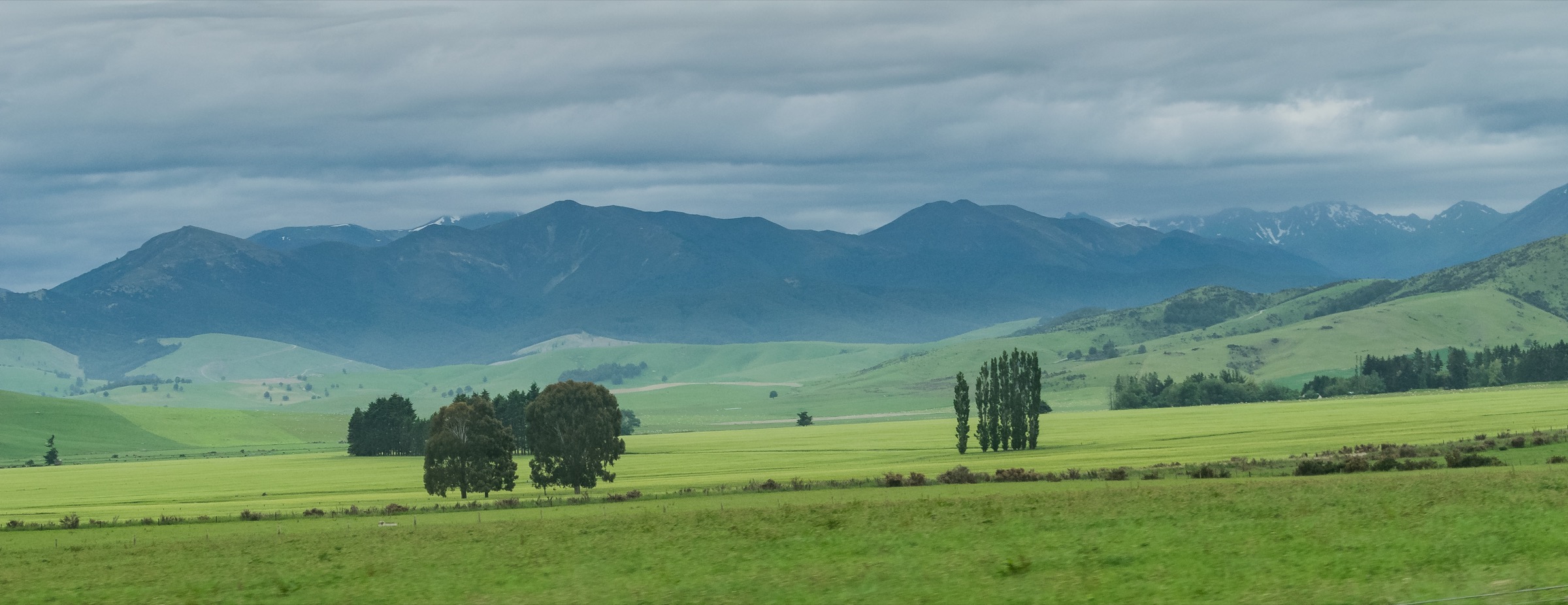
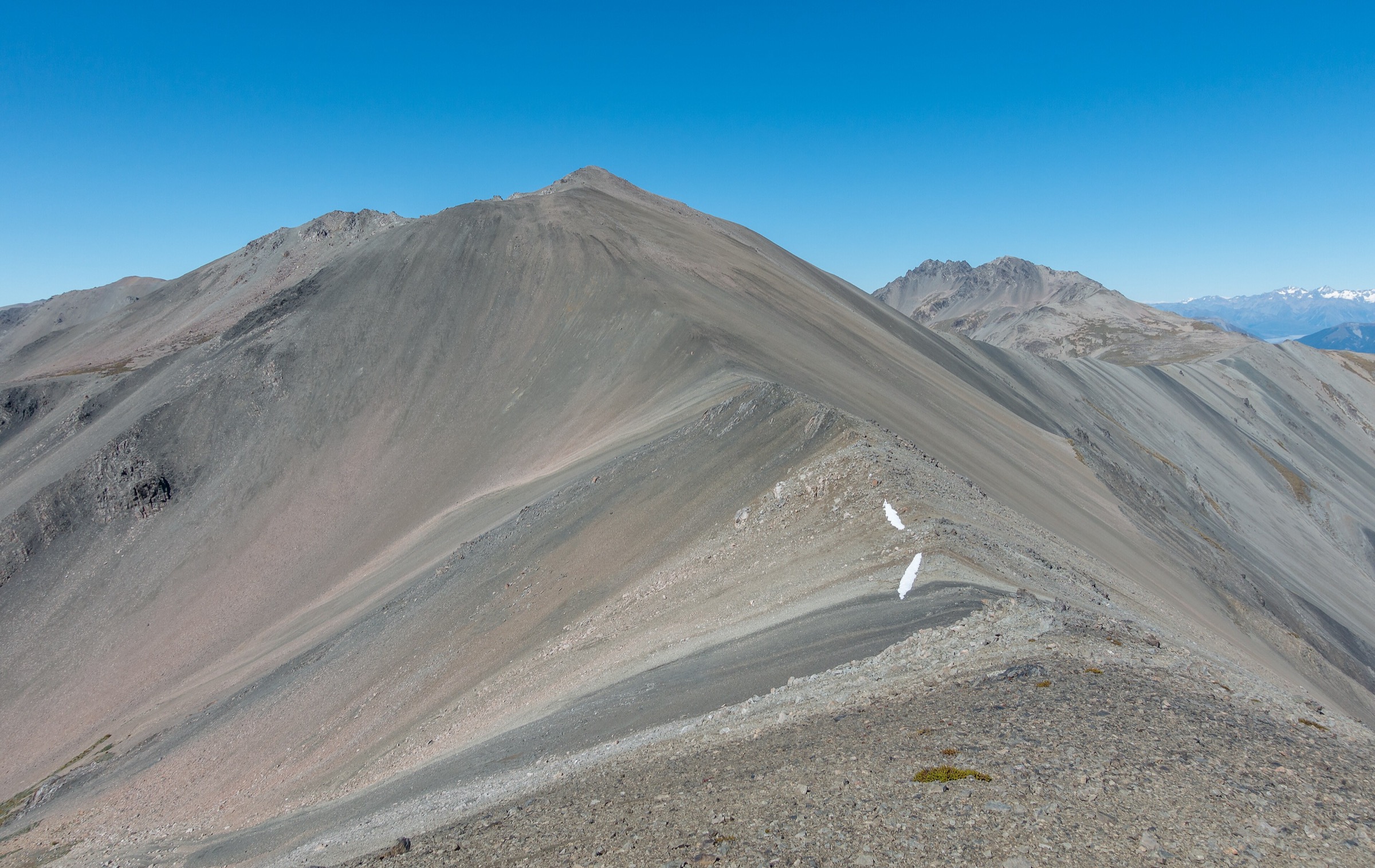
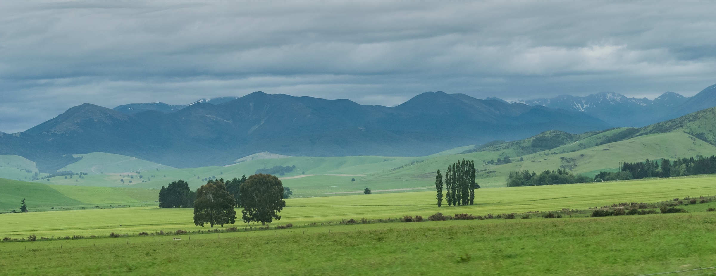
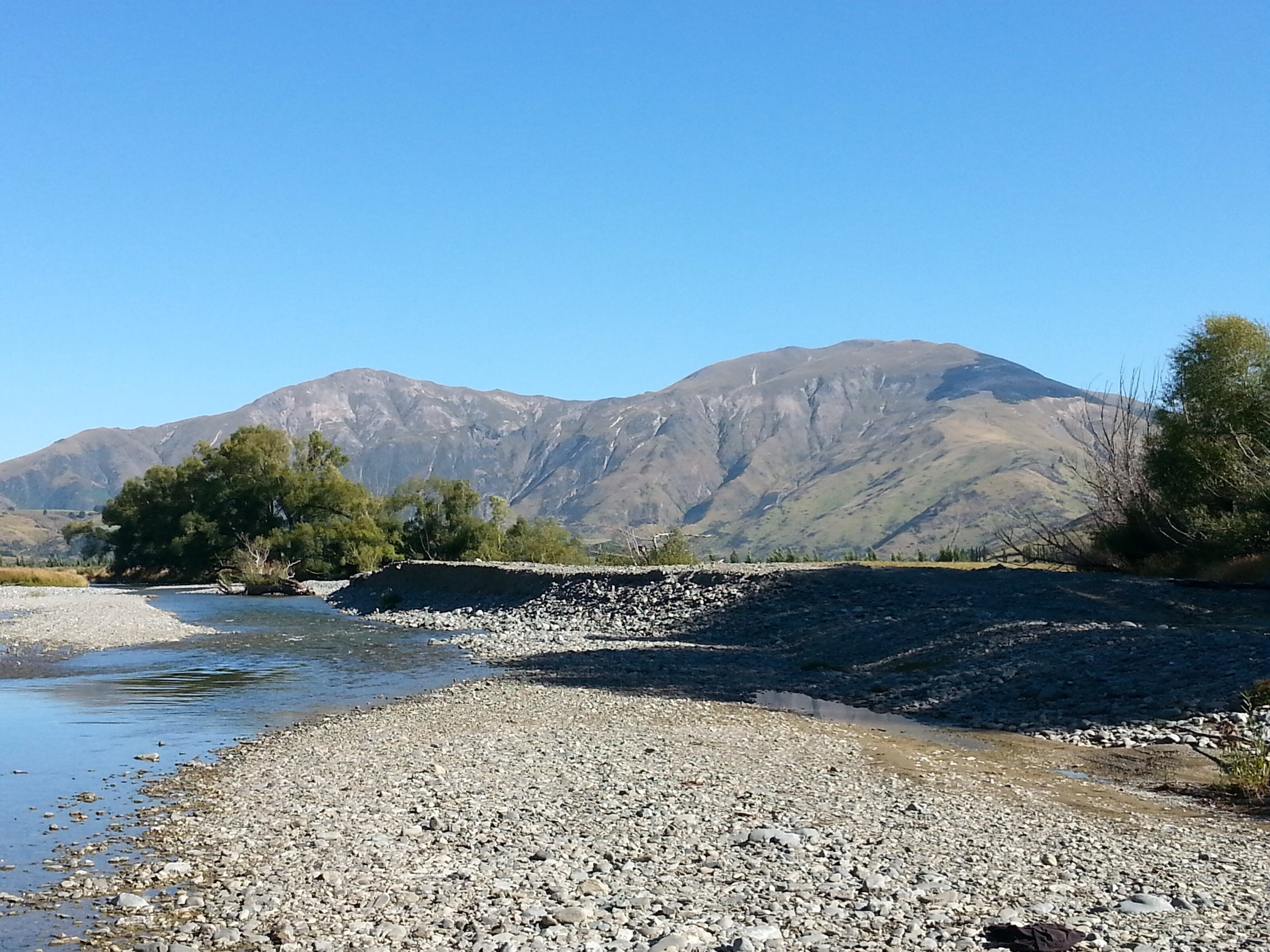
No route-specific licence-compatible image of the Mid Dome western-farm route, the tussock tops or the Cupola-Mid Dome ridge was located in this research pass. The cover figure at the top of this article is a general Eyre Mountains landscape from Wikimedia Commons, used for regional context rather than as a direct picture of the route.
Follow-up work should search Wikimedia Commons and Flickr Creative Commons for open-licence images of the western approach, the summit block and the ridge junction toward Pt1300 and Cupola, and should re-evaluate the Mid Dome Wilding Trees Charitable Trust site for any release of imagery from the control programme under a compatible licence.
Follow-up work
- Confirm the current landowner permission process with Rent A Bull farm and record contact details in the note.
- Confirm the current wilding-conifer control programme status with the Mid Dome Wilding Trees Charitable Trust before publication of any route-open guidance.
- Verify the exact SH6 lay-by and farm-gate coordinates against the Wilderness GPX and against LINZ topography.
- Source authoritative route evidence for at least four additional Mid Dome-area public day hikes before attempting a five-hike catalogue entry — the Pt1300 / Cupola spur is the most obvious next candidate.
- Source route-specific open-licence photography of the western route and the summit tops.
- Re-check the DOC Eyre Mountains / Taka Ra Haka Conservation Park page for any future publication of a Mid Dome route description.
Verification notes
- The Mid Dome summit route is verified against Wilderness Magazine for distance, ascent, time and grade; the 1,478 m summit elevation is cross-checked against Wikipedia and NZTopoMap-derived context.
- The Wilderness GPX and PDF map links were re-checked on 2026-07-04 and both returned HTTP 200.
- No official DOC route page was located for the Mid Dome area; the park page is treated as management context rather than as a route source.
- The cover image is a general Eyre Mountains landscape (Krzysztof Golik, CC BY-SA 4.0), the same image used on the Southern Eyres note. It is used here as a regional context image, not as a route-specific photo, and this substitution is flagged in the “Photos” section.
- Landowner and wilding-conifer control status can change independently of any published route source and must be re-confirmed immediately before any trip.
Further reading
| Resource | Link |
|---|---|
| Wilderness Magazine — Mid Dome, Southland | wildernessmag.co.nz |
| Wilderness Magazine — Mid Dome GPX | wildernessmag.co.nz |
| Wilderness Magazine — Mid Dome PDF map | wildernessmag.co.nz |
| Mid Dome Wilding Trees Charitable Trust — What we do | middomewildingtreestrust.co.nz |
| DOC — Eyre Mountains / Taka Ra Haka Conservation Park | doc.govt.nz |
| Wikipedia — Mid Dome | en.wikipedia.org |
| Southern Eyres — companion research note | storm.ski |