Regional overview
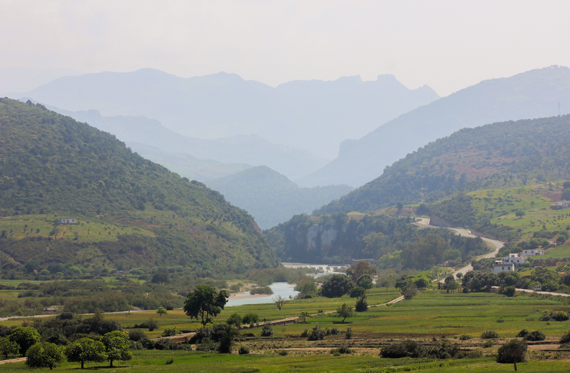
The Rif Mountains of northern Morocco are a green, limestone-and-sandstone range of cedar/fir forest, gorges, waterfalls, high ridges, and villages around Chefchaouen, Akchour, Talassemtane National Park, and Al Hoceima. The hiking character is more Mediterranean and forested than the Atlas ranges to the south.
Talassemtane National Park is the core walking area, with the Akchour waterfalls, the Bridge of God, Jebel el Kelaa, Azilane, and higher forest ridges such as Jbel Lakraa and Jbel Kelti. Spring and autumn are usually the best seasons. Summer heat, winter snow at altitude, and wet limestone paths can all affect safety.
Selection rationale
The five hikes cover the most recognisable Rif day-walk themes: Akchour gorge/waterfall, a Chefchaouen summit, a national-park forest traverse, a high Rif summit candidate, and a short cultural viewpoint walk. The last two need stronger route sourcing before publication.
Summary table
| # | Hike | Country | Route type | Distance | Gain | Max elevation | Difficulty | Photo status |
|---|---|---|---|---|---|---|---|---|
| 1 | Akchour Waterfall and Bridge of God | Morocco | Out-and-back | 14.3 km | 584 m | Not verified | Moderate | No licence-compatible image found |
| 2 | Chefchaouen to Jebel el Kelaa | Morocco | Loop / out-and-back variant | 14.8–17.3 km | 979–1,182 m | ca. 1,622 m | Hard | No licence-compatible image found |
| 3 | Chefchaouen to Azilane Forest Section | Morocco | Point-to-point / out-and-back variant | ca. 16 km one-way estimate from source out-and-back | ca. 860 m one-way estimate | Hard | No licence-compatible image found | |
| 4 | Jbel Lakraa from Talassemtane | Morocco | Out-and-back | ca. 2,159 m | Hard | No licence-compatible image found | ||
| 5 | Spanish Mosque and Ras el Ma Viewpoint Walk | Morocco | Out-and-back / loop | ca. 3–5 km | Low-moderate | Easy-moderate | No licence-compatible image found |
1. Akchour Waterfall and Bridge of God
Snapshot
Itinerary
The route starts at Akchour and follows gorge paths toward the waterfall system and the natural arch known as the Bridge of God. Many walkers choose either the waterfall branch or the bridge branch; the combined route is longer.
Why it is essential
Akchour is the best-known Rif gorge hike and one of the defining day walks of Talassemtane National Park.
Equipment
Standard hiking equipment: sturdy shoes with grip, water, food, sun protection, weather layer, map/GPS.
Hazards and notes
Wet rock, river crossings, summer heat, crowds, and flash-flood risk after storms are the main hazards. Check local conditions before entering the gorge.
Photos
Photo status: No licence-compatible image found in this pass.
| Image | Source | Author | Licence | Reuse notes | Attribution |
|---|---|---|---|---|---|
| Unresolved | Unresolved | Unresolved | Unresolved | No verified reusable photo candidate found | Unresolved |
GPX / KML links
| Source | URL | Format | Licence / terms | Reuse status |
|---|---|---|---|---|
| AllTrails: Akchour Waterfall and Bridge of God | alltrails.com | Source route page / GPX availability depends on service | AllTrails terms apply | Route stats checked; file reuse not confirmed |
External links
2. Chefchaouen to Jebel el Kelaa
Snapshot
Itinerary
The route climbs from Chefchaouen above the town and onto the mountain slopes of Jebel el Kelaa, using steep paths and ridge/forest terrain before returning to Chefchaouen by a loop or descent variant.
Why it is essential
Jebel el Kelaa is the signature mountain above Chefchaouen, giving the classic town-to-ridge Rif day hike.
Equipment
Mountain hiking equipment: boots, water, food, weatherproof layer, warm layer, sun protection, navigation backup.
Hazards and notes
The route is steep and can be confusing. Heat, slippery limestone, dogs, and poor visibility are possible issues.
Photos
Photo status: No licence-compatible image found in this pass.
| Image | Source | Author | Licence | Reuse notes | Attribution |
|---|---|---|---|---|---|
| Unresolved | Unresolved | Unresolved | Unresolved | No verified reusable photo candidate found | Unresolved |
GPX / KML links
| Source | URL | Format | Licence / terms | Reuse status |
|---|---|---|---|---|
| AllTrails: Chefchaouen — Jebel el Kelaa | alltrails.com | Source route page | AllTrails terms apply | Route stats checked; file reuse not confirmed |
| Wikiloc: Jbel el Kelaa from Chefchaouen | wikiloc.com | Source route page / GPX via Wikiloc | Wikiloc terms apply | Secondary route source; reuse not confirmed |
External links
3. Chefchaouen to Azilane Forest Section
Snapshot
Itinerary
The candidate route uses the Chefchaouen-to-Azilane mountain/forest corridor in Talassemtane National Park. The full source route is a 32 km out-and-back and is not appropriate as a normal day hike; the publishable day-hike version should be defined as a one-way section with confirmed transport.
Why it is essential
Azilane is a key Talassemtane trekking node and gives a deeper forest-and-village route than the short Akchour gorge walk.
Equipment
Mountain hiking equipment: boots, water, food, warm/weatherproof layers, headtorch for a long day, navigation backup.
Hazards and notes
This route remains a candidate until a legal one-day line and transport logistics are confirmed. Heat, dogs, forest navigation, and distance are key concerns.
Photos
Photo status: No licence-compatible image found in this pass.
| Image | Source | Author | Licence | Reuse notes | Attribution |
|---|---|---|---|---|---|
| Unresolved | Unresolved | Unresolved | Unresolved | No verified reusable photo candidate found | Unresolved |
GPX / KML links
| Source | URL | Format | Licence / terms | Reuse status |
|---|---|---|---|---|
| AllTrails: Chefchaouen — Azilane | alltrails.com | Source route page | AllTrails terms apply | Full source route found; day-hike variant unresolved |
External links
4. Jbel Lakraa from Talassemtane
Snapshot
Itinerary
The candidate route would climb to Jbel Lakraa, one of the higher Rif summits in Talassemtane National Park, using forest and ridge paths. A reliable day-hike route file was not found in this pass.
Why it is essential
Jbel Lakraa would represent the higher, more remote mountain character of the Rif beyond the popular Akchour and Chefchaouen routes.
Equipment
Mountain hiking equipment with full navigation backup, water, food, warm layer, weatherproof layer, and headtorch.
Hazards and notes
This route is not publication-ready. Snow, navigation, remote access, and route legality need confirmation.
Photos
Photo status: No licence-compatible image found in this pass.
| Image | Source | Author | Licence | Reuse notes | Attribution |
|---|---|---|---|---|---|
| Unresolved | Unresolved | Unresolved | Unresolved | No verified reusable photo candidate found | Unresolved |
GPX / KML links
| Source | URL | Format | Licence / terms | Reuse status |
|---|---|---|---|---|
| Unresolved | Unresolved | Unresolved | Unresolved | No route file found in this pass |
External links
- Talassemtane/Rif summit context from web search results; no reliable route file verified.
5. Spanish Mosque and Ras el Ma Viewpoint Walk
Snapshot
Itinerary
The walk climbs from Ras el Ma or the eastern side of Chefchaouen to the Spanish Mosque viewpoint, with optional town and hillside loop variants. A publishable route line was not verified in this pass.
Why it is essential
Although short, this is the classic Chefchaouen viewpoint walk and provides an accessible Rif foothill option.
Equipment
Standard walking equipment; water and sun protection recommended.
Hazards and notes
Crowds, heat, uneven steps, and informal path variants are the main issues. It is less wild than the other Rif selections.
Photos
Photo status: No licence-compatible image found in this pass.
| Image | Source | Author | Licence | Reuse notes | Attribution |
|---|---|---|---|---|---|
| Unresolved | Unresolved | Unresolved | Unresolved | No verified reusable photo candidate found | Unresolved |
GPX / KML links
| Source | URL | Format | Licence / terms | Reuse status |
|---|---|---|---|---|
| Unresolved | Unresolved | Unresolved | Unresolved | No route file found in this pass |
External links
- Chefchaouen/Rif walking context from web search results; no reliable route file verified.
Missing data / follow-up work
- Official Talassemtane National Park route pages should be located and preferred over trail-database pages.
- Jbel Lakraa and Spanish Mosque entries need publishable route sources or replacement.
- Licence-compatible photos were not verified in this pass.
- GPX reuse terms remain unresolved for AllTrails and Wikiloc.
- Chefchaouen-to-Azilane needs a clear day-hike variant and transport plan before publication.
External links
| Source | URL |
|---|---|
| AllTrails | alltrails.com |
| Wikiloc | wikiloc.com |
| Morocco Escape | moroccoescape.com |
| AllTrails — Akchour Waterfall and Bridge of God | alltrails.com |
| AllTrails — Chefchaouen to Jebel el Kelaa | alltrails.com |
| AllTrails — Chefchaouen to Azilane | alltrails.com |
| Wikiloc — Jbel el Kelaa from Chefchaouen | wikiloc.com |