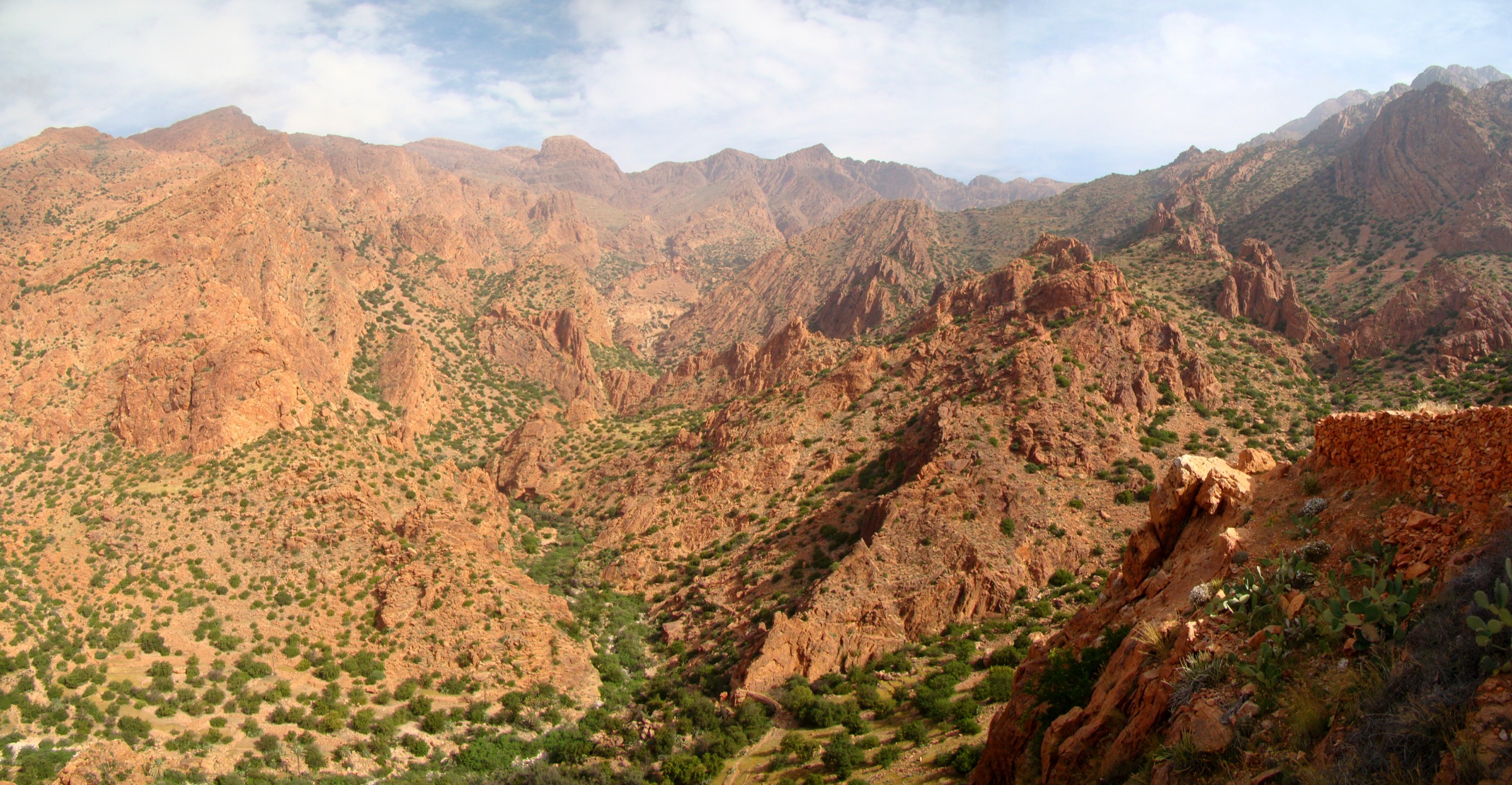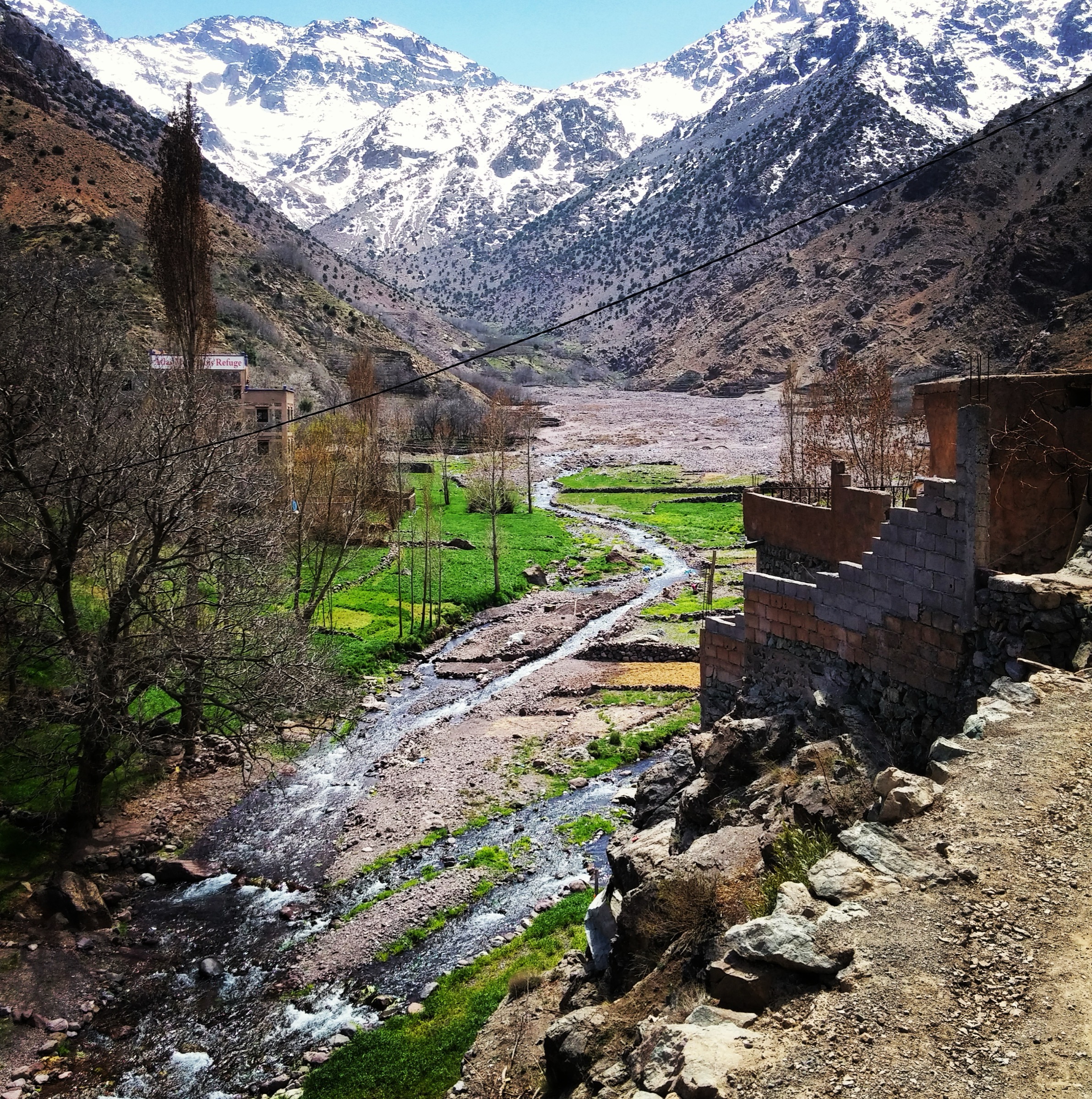
Regional overview
The Middle Atlas is a cooler, forested Moroccan range known for cedar woods, volcanic plateaux, karst springs, lakes, macaque habitat, and the Tazekka massif near Taza. Ifrane, Azrou, Khenifra, Taza, and lake districts such as Dayet Aoua and Aguelmam Azigza are the main walking bases.
Compared with the High Atlas, the terrain is usually lower and less technical, but navigation can still be confusing in forest and on grazing tracks. Snow is possible in winter around Ifrane, Michlifen, Jbel Hebri, and Tazekka. Spring and autumn are generally the most comfortable walking seasons.
Selection rationale
The selection balances cedar forest, national-park summit terrain, waterfall scenery, lake country, and spring/river landscapes. Several Middle Atlas walking areas have sparse official route publication, so unresolved items are clearly flagged.
- Azrou Cedar Forest and Cedre Gouraud Loop — the accessible cedar-forest introduction above Azrou.
- Ifrane National Park Monkey Trail — a short national-park forest walk associated with macaque-viewing areas.
- Jbel Tazekka Loop — the major Tazekka National Park summit day.
- Ouzoud Waterfalls Circuit — the iconic western Middle Atlas waterfall walk.
- Aguelmam Azigza Lakeshore and Cedar Walk — a candidate lake-and-forest walk near Khenifra.
Summary table
| # | Hike | Route type | Distance | Gain | Max elevation | Difficulty |
|---|---|---|---|---|---|---|
| 1 | Azrou Cedar Forest and Cedre Gouraud Loop | Loop | 12.3 km | 379 m | 1,816 m | Moderate |
| 2 | Ifrane National Park Monkey Trail | Loop / forest walk | 7.6 km | ca. 250 m | Not verified | Moderate |
| 3 | Jbel Tazekka Loop | Loop | 17.7 km | 633 m | 2,031 m | Hard |
| 4 | Ouzoud Waterfalls Circuit | Loop | ca. 1.5–4 km | Low | ca. 1,060 m | Easy–moderate |
| 5 | Aguelmam Azigza Lakeshore and Cedar Walk | Out-and-back / loop variant | ca. 1,474 m lake level | Easy–moderate |
Before you go
Required equipment
The Middle Atlas combines forest, mountain, lake and waterfall terrain. The same baseline equipment applies across all five walks, with extras noted per hike:
- Boots or sturdy hiking shoes; shoes with good grip on wet steps and polished rock for Ouzoud.
- Weatherproof and warm layers, especially for Tazekka and any winter conditions.
- Food and generous water; sun protection (hat, sunglasses, high-factor sunscreen).
- GPS/map and a navigation backup for forest tracks where paths are indistinct.
- First-aid kit; consider trekking poles for the Tazekka summit day.
Current access and safety notes
- Do not feed or approach macaques in the Azrou, Ifrane and Ouzoud areas.
- Forest navigation can be confusing where vehicle tracks and grazing paths branch; carry a GPS/map source and a backup method.
- Snow is possible in winter around Ifrane, Michlifen, Jbel Hebri, and Tazekka; mud and poor visibility can affect tracks.
- Protected-area access rules for Ifrane National Park and Tazekka National Park were not fully verified; confirm locally before setting out.
- Ouzoud’s waterfall circuit has wet rock, crowds, heat and macaque interactions; exact circuit, access points and boat crossings need local confirmation.
- Aguelmam Azigza route legality, exact shoreline access and seasonal water/mud conditions need local confirmation; no official GPX or map was verified in this pass.
1. Azrou Cedar Forest and Cedre Gouraud Loop
Snapshot
Itinerary
The route follows forest tracks and paths through the cedar woods above Azrou, including the Cedre Gouraud area. It gives an accessible introduction to the Middle Atlas cedar landscape, with macaque habitat and open glades.
Why it is essential
Cedar forest is one of the defining landscapes of the Middle Atlas, and the Azrou/Ifrane forest is the best-known public-facing example.
Hazards and notes
- Do not feed macaques.
- Forest navigation can be confusing where vehicle tracks branch.
- Winter snow and mud can affect tracks.
GPX / KML links
| Source | URL | Format / access | Reuse status |
|---|---|---|---|
| Wikiloc: Foret de la cedraie Azrou | wikiloc.com | Source route page / GPX via Wikiloc | Route source found; reuse not confirmed under Wikiloc terms |
External links
2. Ifrane National Park Monkey Trail
Snapshot
Itinerary
This forest route follows the Ifrane National Park cedar landscape on tracks and footpaths associated with macaque-viewing areas. Exact line variants differ by trailhead and should be checked on the source map before walking.
Why it is essential
The hike gives a short, representative Middle Atlas forest experience in the national park most closely associated with cedar woods and Barbary macaques.
Hazards and notes
- Avoid feeding or approaching macaques.
- Snow, mud and logging/vehicle tracks may complicate route-finding.
- Dog and protected-area restrictions were not verified.
GPX / KML links
| Source | URL | Format / access | Reuse status |
|---|---|---|---|
| AllTrails: Monkey Trail | alltrails.com | Source route page / GPX availability depends on service | Route stats checked; file reuse not confirmed under AllTrails terms |
External links
3. Jbel Tazekka Loop
Snapshot
Itinerary
The loop climbs forested and open slopes in Tazekka National Park to the Jbel Tazekka high point area, then returns by a circuit route. Exact wayfinding should be taken from a current GPS/map source.
Why it is essential
Jbel Tazekka is one of the major Middle Atlas summits and gives a more mountain-like contrast to the Ifrane/Azrou cedar walks.
Hazards and notes
- The route is a long day.
- Forest route-finding, winter snow and poor visibility are possible issues.
- Protected-area access rules were not fully verified.
GPX / KML links
| Source | URL | Format / access | Reuse status |
|---|---|---|---|
| Wikiloc: Circuit Djebel Tazekka | wikiloc.com | Source route page / GPX via Wikiloc | Route source found; reuse not confirmed under Wikiloc terms |
External links
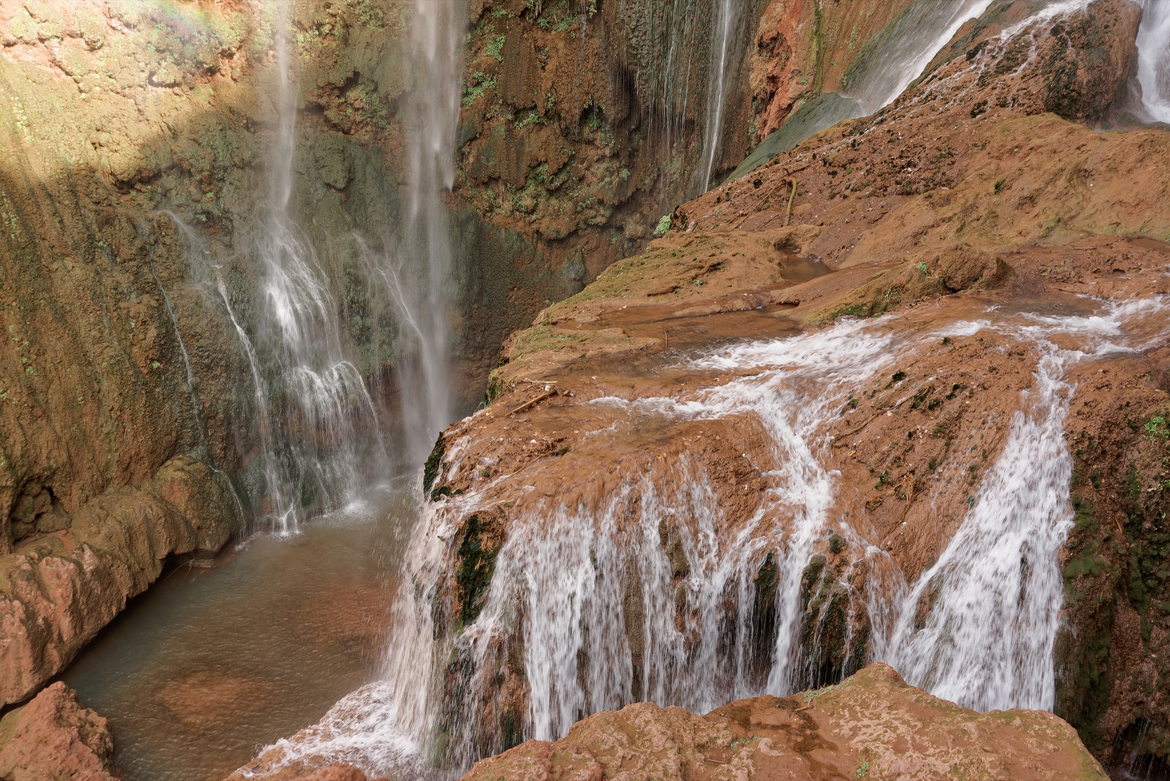
4. Ouzoud Waterfalls Circuit
Snapshot
Itinerary
The usual walking circuit descends from the village/viewpoints to the base area of Ouzoud Falls, crosses or follows riverside paths where accessible, and returns by steps and village paths. Exact routes vary by bridge/boat crossing and local access.
Why it is essential
Ouzoud is among Morocco’s best-known waterfall landscapes and offers a short, visually distinctive Middle Atlas fringe walk.
Hazards and notes
- Wet rock, crowds, heat and macaque interactions are the main issues.
- The exact circuit, access points and boat crossings need local confirmation.
GPX / KML links
| Source | URL | Format / access | Reuse status |
|---|---|---|---|
| AllTrails: Cascades d’Ouzoud | alltrails.com | Source route page | Secondary route source only; reuse not confirmed under AllTrails terms |
External links
5. Aguelmam Azigza Lakeshore and Cedar Walk
Snapshot
Itinerary
The proposed day walk follows lakeshore and nearby cedar/holm-oak tracks around Aguelmam Azigza. A publishable route line was not verified in this pass, so this remains a candidate until a reliable map or GPX source is located.
Why it is essential
Aguelmam Azigza is one of the emblematic lake landscapes of the Middle Atlas and complements the forest and summit hikes.
Hazards and notes
- Route legality, exact shoreline access and seasonal water/mud conditions need confirmation.
- No official GPX or map was verified in this pass.
GPX / KML links
| Source | URL | Format / access | Reuse status |
|---|---|---|---|
| Unresolved | — | — | No route file found in this pass |
External links
External links
| Source | URL |
|---|---|
| Wikiloc — Foret de la cedraie Azrou | wikiloc.com |
| AllTrails — Monkey Trail | alltrails.com |
| Wikiloc — Circuit Djebel Tazekka | wikiloc.com |
| AllTrails — Cascades d’Ouzoud | alltrails.com |
| Wikiloc | wikiloc.com |
| AllTrails | alltrails.com |
| Visit Morocco | visitmorocco.com |
| Protected Planet | protectedplanet.net |