Regional overview
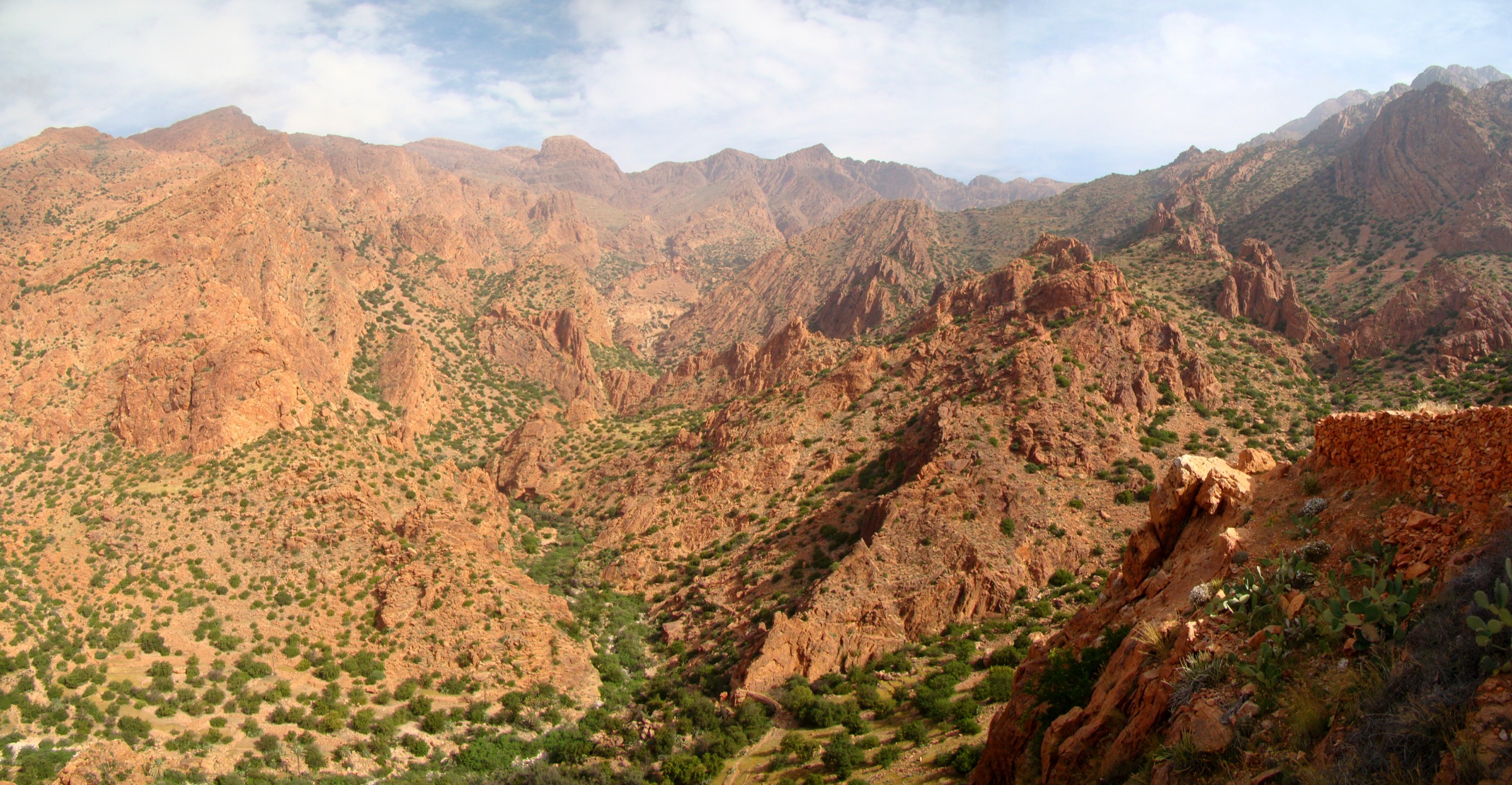
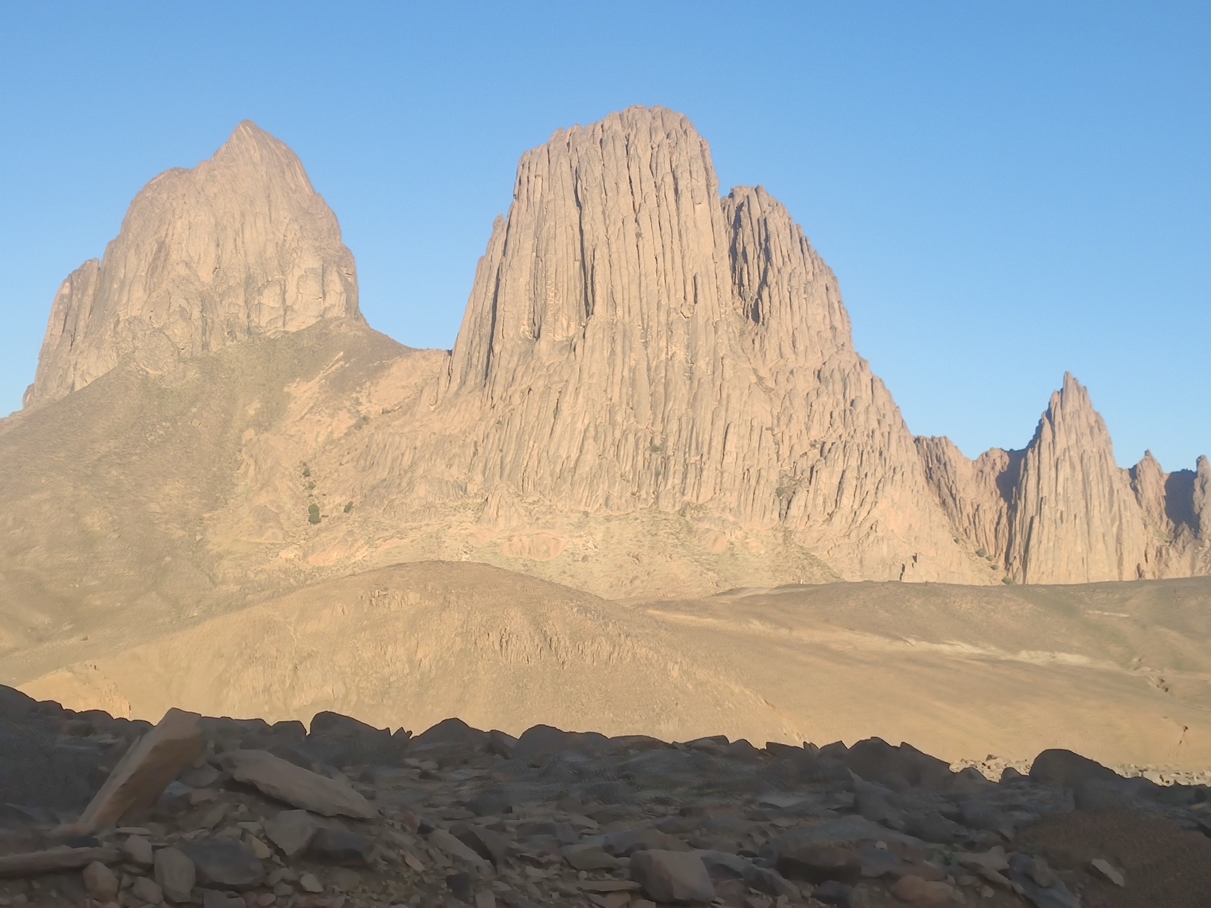
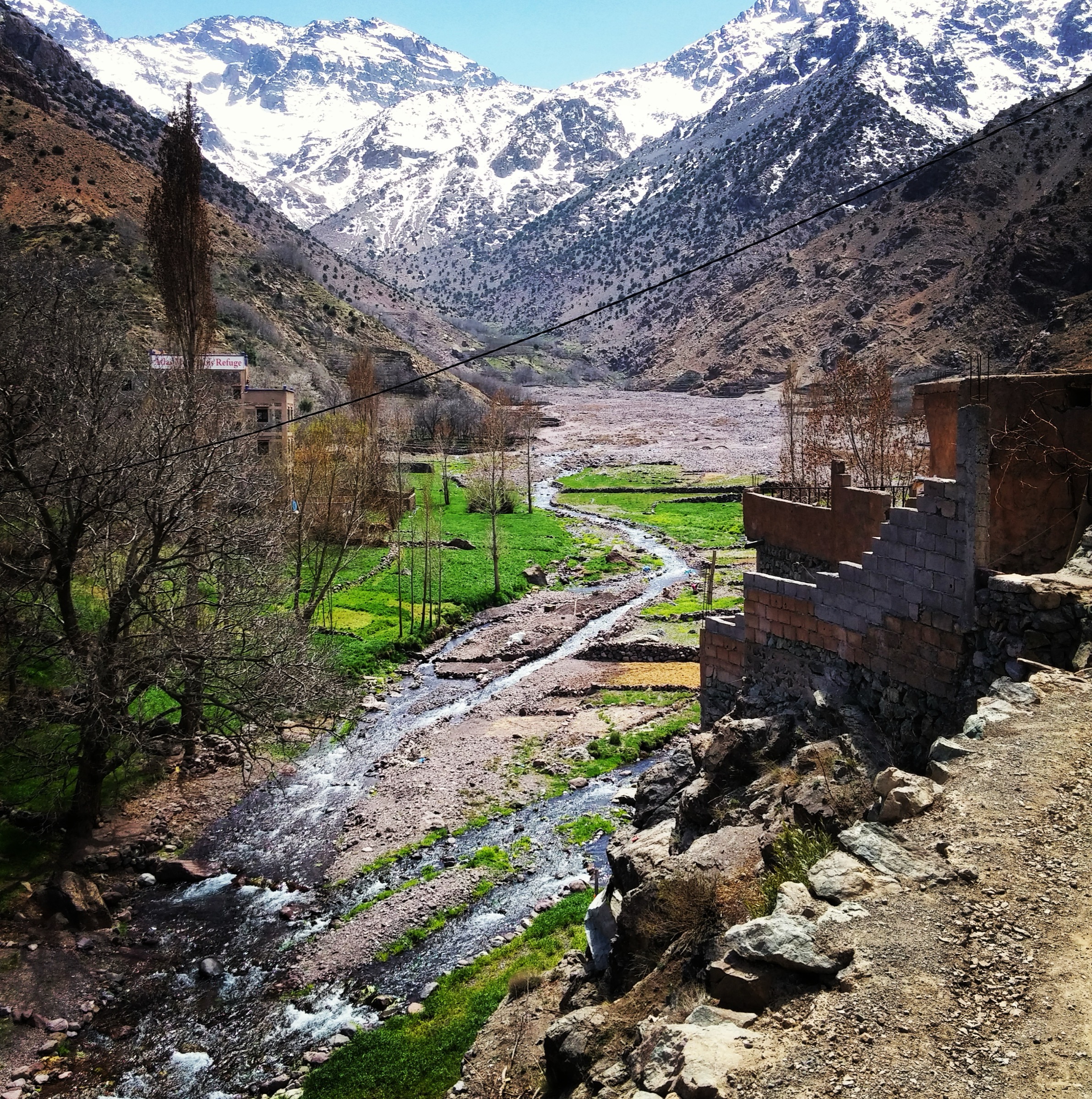
The High Atlas is Morocco’s highest mountain region, with deep valleys, Berber villages, arid passes, alpine-scale ridges, and the 4,167 m summit of Jbel Toubkal. The best-known hiking centres are Imlil and Aroumd below Toubkal, Oukaimeden and Tacheddirt on the north side, Amsouzart near Lake Ifni, and Ait Bouguemez in the central High Atlas.
Most classic walks are mountain hikes rather than casual footpaths. Summer heat can be severe in low valleys, while snow and ice can linger on north-facing upper slopes into spring. Winter ascents of high passes and Toubkal require mountaineering judgement and snow equipment. Access is commonly by grand taxi, private transfer, mule track, or village road; public transport details change and should be checked locally.
Selection rationale
The five hikes below represent the best-known High Atlas walking types: the Toubkal summit route, an Imlil balcony/pass route, a high mountain lake, a central High Atlas village-and-granary walk, and an Oukaimeden-to-Tacheddirt traverse.
Summary table
| # | Hike | Country | Route type | Distance | Gain | Max elevation | Difficulty |
|---|---|---|---|---|---|---|---|
| 1 | Jbel Toubkal from the Toubkal Refuge | Morocco | Out-and-back | 6.8 km | 979 m | 4,167 m | Hard |
| 2 | Imlil, Tizi Mzik and Tamsoult Waterfalls Loop | Morocco | Loop | 22.1 km | 1,813 m | 2,475 m | Hard |
| 3 | Amsouzart to Lake Ifni | Morocco | Out-and-back / loop variant | 14.0–19.6 km | ca. 500–650 m | ca. 2,295–2,436 m | Moderate–hard |
| 4 | Ait Bouguemez and Sidi Moussa Granary | Morocco | Loop | 5.1 km | 162 m | 2,023 m | Easy–moderate |
| 5 | Oukaimeden to Tacheddirt via Tizi n’Addi | Morocco | Point-to-point | 8.2 km | 417 m | 2,953 m | Moderate–hard |
1. Jbel Toubkal from the Toubkal Refuge
Snapshot
Itinerary
From the Toubkal Refuge, the route climbs stony slopes and scree into the south-cirque approach, then gains the broad summit ridge of Jbel Toubkal. The descent follows the same line back to the refuge. The route described here is the summit day from the refuge, not the full Imlil-to-Imlil climb, which is normally split over two days.
Why it is essential
Jbel Toubkal is the highest summit in North Africa and the symbolic high point of the High Atlas. The route gives a direct experience of the region’s alpine-scale terrain and high barren ridges.
Equipment
- Sturdy boots
- Warm layer
- Weatherproof layer
- Headtorch
- Navigation backup
- Water and food
- Sun protection
- Hat and gloves
- Microspikes/crampons and ice axe may be required outside normal summer conditions; check current local advice
Hazards and notes
Altitude, cold wind, loose scree, poor visibility, and lingering snow are the main hazards. The approach from Imlil passes through Toubkal National Park and local guide requirements or security procedures should be checked before departure. The refuge should be booked in advance in busy periods.
GPX / KML links
| Source | URL | Format | Reuse status |
|---|---|---|---|
| AllTrails: Mount Toubkal Trail | alltrails.com | Source route page / GPX availability depends on service | Route stats checked; file reuse not confirmed under AllTrails terms |
| Wikiloc: Mont Toubkal | wikiloc.com | Source route page / GPX via Wikiloc | Route source found; reuse not confirmed under Wikiloc terms |
External links
2. Imlil, Tizi Mzik and Tamsoult Waterfalls Loop
Snapshot
Itinerary
The route starts in Imlil, climbs above the valley through villages and mule tracks, and reaches Tizi Mzik, a high pass between the Imlil and Azzaden sides of the massif. It then descends toward the Tamsoult waterfall area before returning by mountain paths to Imlil. Variants may shorten the route by turning back from the pass or waterfall.
Why it is essential
This is one of the classic non-summit High Atlas hikes from Imlil, combining village paths, a high pass, broad views toward the Toubkal massif, and the Tamsoult waterfall.
Equipment
- Sturdy boots
- Trekking poles recommended
- Waterproof layer
- Warm layer
- Food and water
- Map or GPS
- Sun protection
- Microspikes may be needed if snow remains on Tizi Mzik
Hazards and notes
The route is long, with substantial ascent. Early-season snow, heat in lower valleys, loose stony paths, and navigation through side tracks are the main issues. Water availability should not be assumed above villages.
GPX / KML links
| Source | URL | Format | Reuse status |
|---|---|---|---|
| Wikiloc: Imlil, Mzik Pass and Tamsoult Waterfalls | wikiloc.com | Source route page / GPX via Wikiloc | Route source found; reuse not confirmed under Wikiloc terms |
External links
3. Amsouzart to Lake Ifni
Snapshot
Itinerary
From Amsouzart, the route follows the upper valley toward the stony basin of Lake Ifni, the best-known high lake below the south side of the Toubkal massif. Most day walkers return by the same route; mapped variants make a longer circuit around the lake approaches.
Why it is essential
Lake Ifni is one of the most distinctive natural features of the High Atlas: a high, enclosed mountain lake below steep walls on the southern Toubkal side.
Equipment
- Sturdy boots
- Sun protection
- Water and food
- Map or GPS
- Windproof layer
- Carry enough water for hot weather; services are limited away from villages
Hazards and notes
Heat, loose slopes, and route-finding around lake approaches are the main issues. Snow can remain on higher surrounding routes even when the lake approach is clear.
GPX / KML links
| Source | URL | Format | Reuse status |
|---|---|---|---|
| Wikiloc: Lake Ifni from Amsouzart | wikiloc.com | Source route page / GPX via Wikiloc | Route source found; reuse not confirmed under Wikiloc terms |
| Outdooractive: Lake Ifni circular trail | outdooractive.com | Source route page / downloadable route subject to Outdooractive terms | Route source found; reuse not confirmed under Outdooractive terms |
External links
4. Ait Bouguemez and Sidi Moussa Granary
Snapshot
Itinerary
This short central High Atlas walk crosses village fields and low slopes in the Ait Bouguemez valley, visiting the prominent hilltop Sidi Moussa granary/shrine before returning through valley settlements. Local routes vary by village start point.
Why it is essential
Ait Bouguemez, often called the “Happy Valley”, is one of the classic cultural walking landscapes of the High Atlas. The Sidi Moussa granary gives a compact route with valley views, architecture, and village footpaths.
Equipment
- Walking shoes or boots
- Water
- Sun protection
- Weather layer
- Map or GPS
- Modest clothing is appropriate in villages
Hazards and notes
Respect local paths, crops, and village privacy. Dogs, heat, and unclear side tracks can be issues. Public access and local guiding expectations should be confirmed in the valley.
GPX / KML links
| Source | URL | Format | Reuse status |
|---|---|---|---|
| Wikiloc: Sidi Moussa granary trail | wikiloc.com | Source route page / GPX via Wikiloc | Route source found; reuse not confirmed under Wikiloc terms |
External links
5. Oukaimeden to Tacheddirt via Tizi n’Addi
Snapshot
Itinerary
The route leaves the high Oukaimeden plateau, crosses high grazing country, and climbs to Tizi n’Addi before descending toward the village of Tacheddirt. It can be walked as a traverse with arranged transport or adapted into a longer return route.
Why it is essential
This route links two classic northern High Atlas hiking bases and gives a relatively compact pass crossing without attempting a 4,000 m summit.
Equipment
- Sturdy boots
- Windproof layer
- Warm layer
- Water and food
- Sun protection
- Navigation backup
- Microspikes may be required if snow remains on the pass
Hazards and notes
The route is exposed to wind and weather on high open ground. The point-to-point finish requires access planning. Navigation can be difficult in poor visibility.
GPX / KML links
| Source | URL | Format | Reuse status |
|---|---|---|---|
| Wikiloc: Oukaimeden, Tizi n’Addi, Tacheddirt | wikiloc.com | Source route page / GPX via Wikiloc | Route source found; reuse not confirmed under Wikiloc terms |
External links
External links
| Source | URL |
|---|---|
| AllTrails | alltrails.com |
| Wikiloc | wikiloc.com |
| Outdooractive | outdooractive.com |
| Much Better Adventures — Mount Toubkal | muchbetteradventures.com |
| Lonely Planet — Ait Bouguemez | lonelyplanet.com |