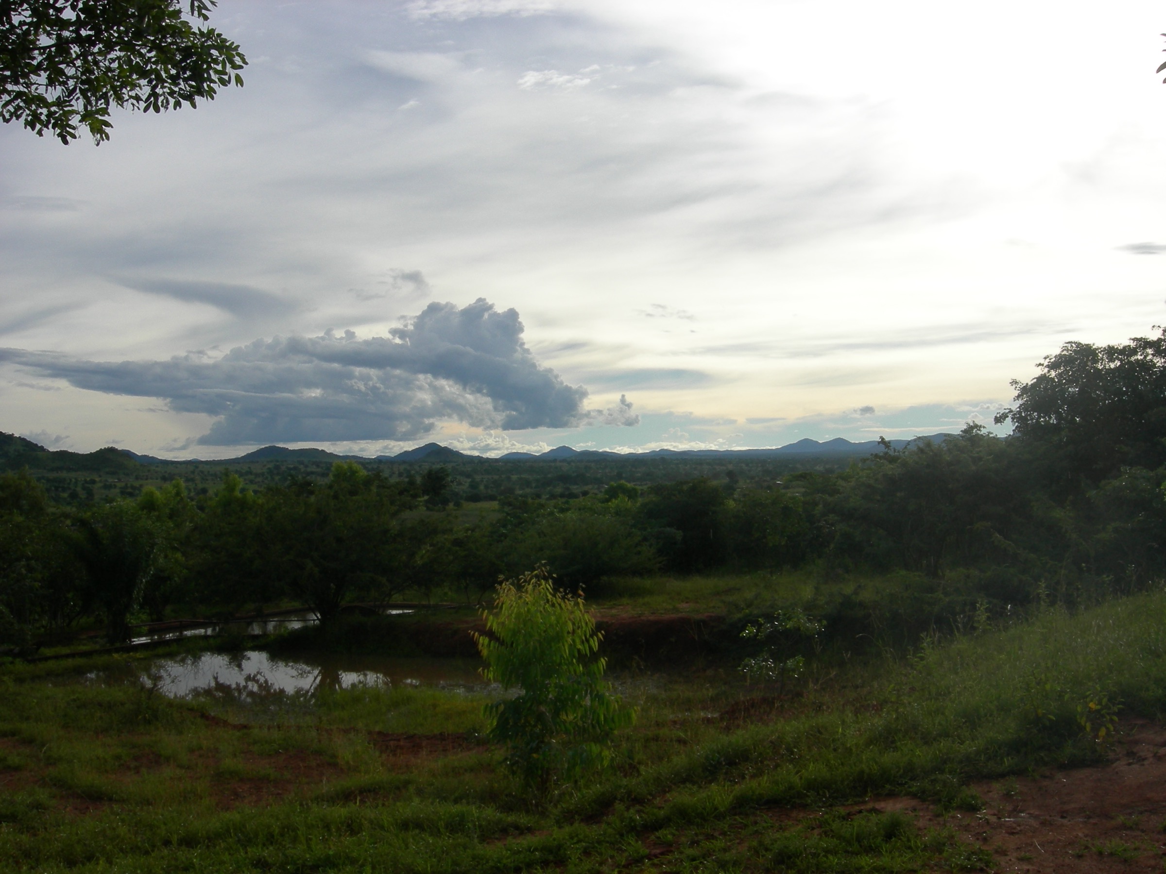
Regional overview
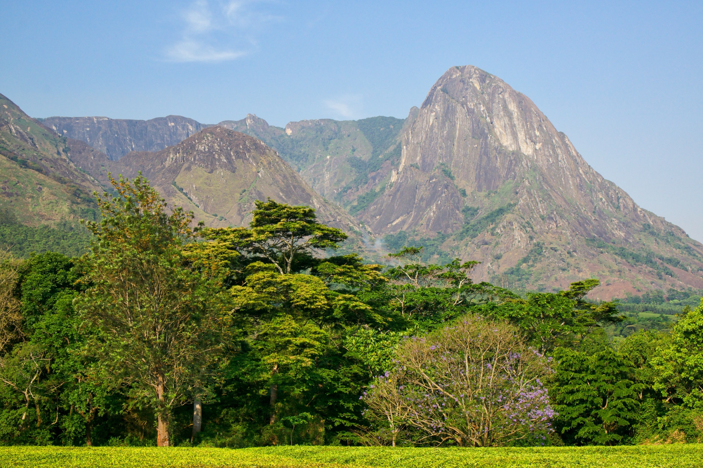
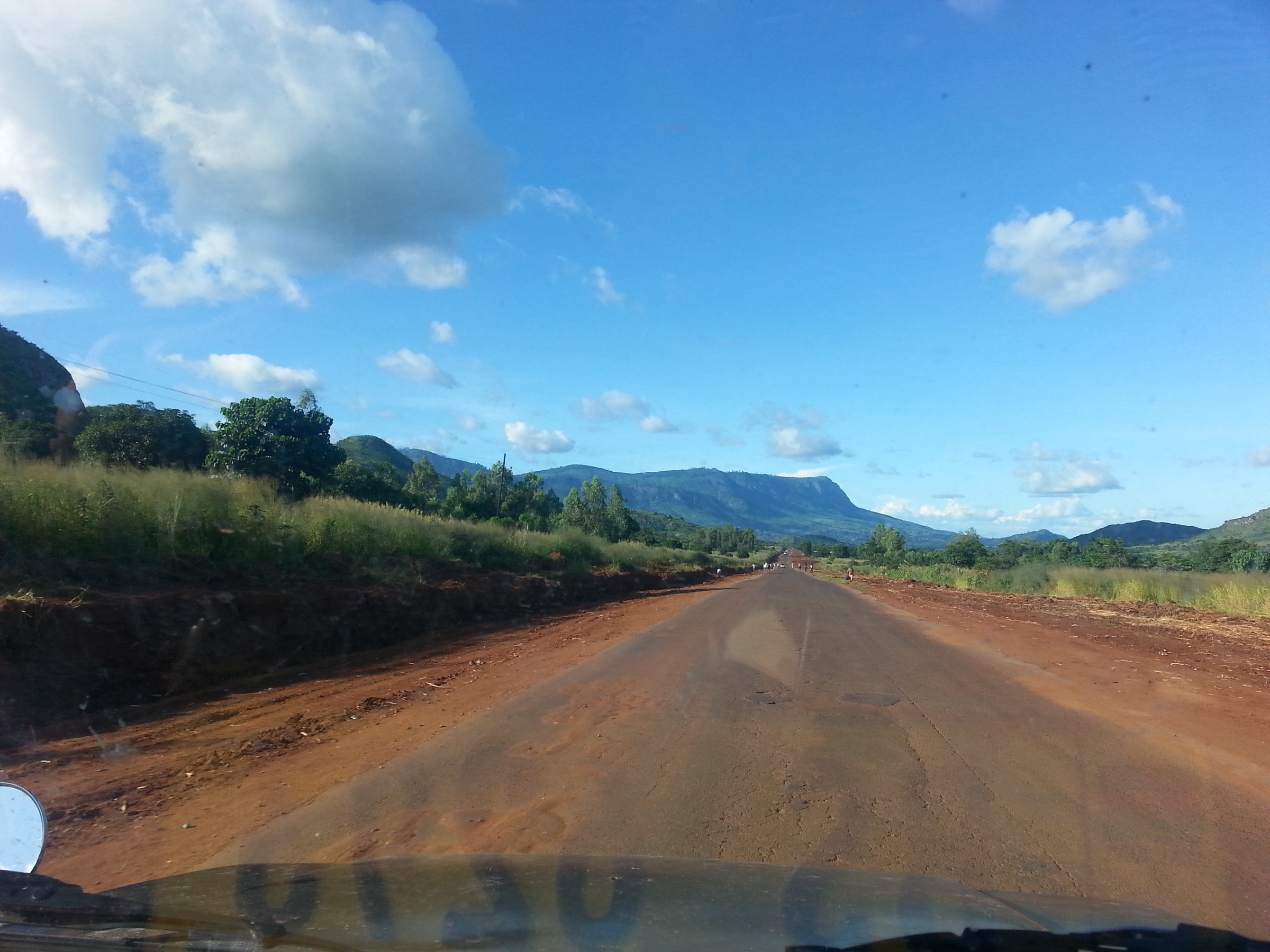
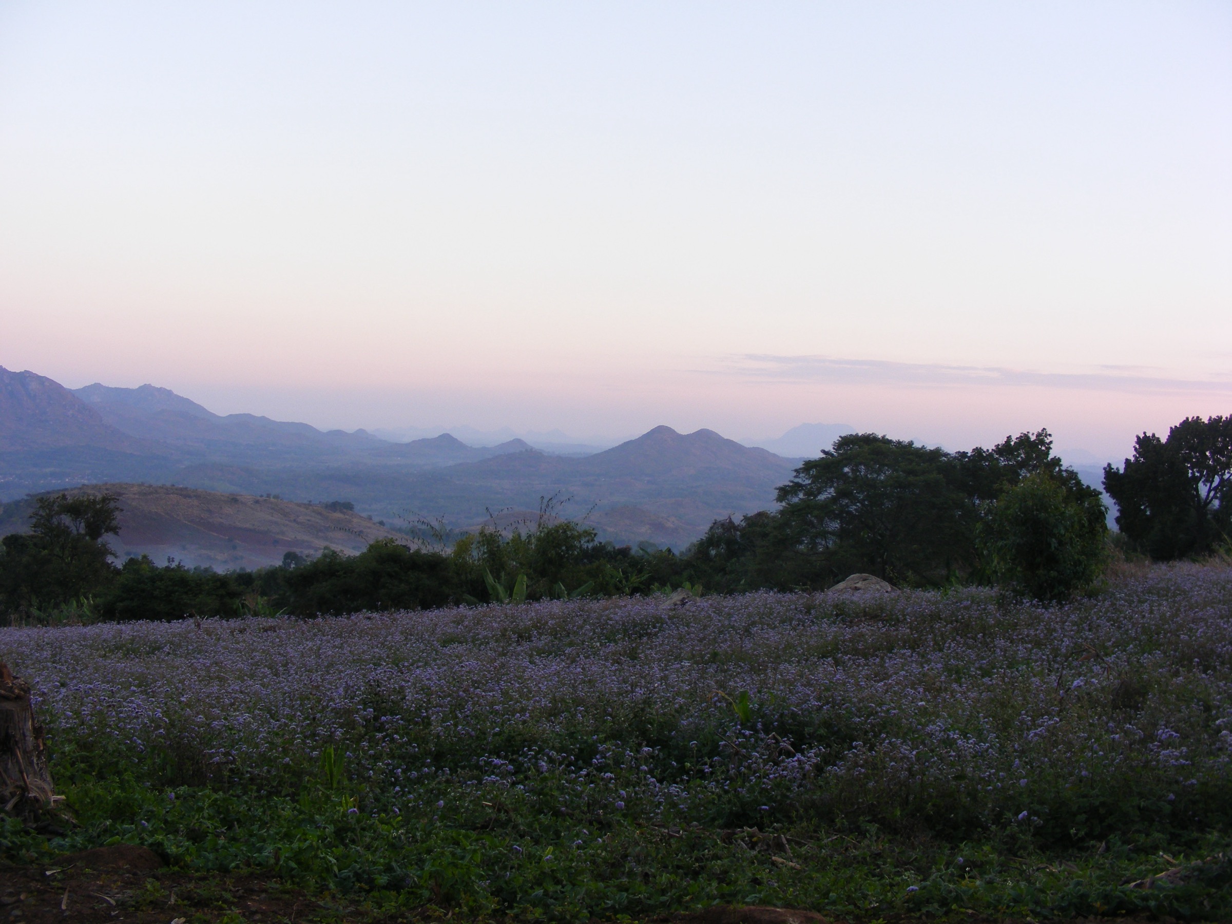
The Zomba Plateau is a tilted granitic-syenite block rising abruptly out of the Shire Highlands of southern Malawi, immediately above the old colonial capital of Zomba town. It was emplaced into the surrounding gneiss basement during the late Jurassic to Cretaceous and is geologically twinned with the Mulanje Massif some sixty kilometres south-east. The plateau covers about 130 km² with a working rim at roughly 1,800 m and a high point at Mulumbe Peak (cited variously at 2,085–2,087 m). It is dissected by the broad east–west Domasi Valley and drained by the Mulunguzi River, which feeds the Mulunguzi Dam and Chagwa Dam — both built to supply Zomba town with water.
The plateau forms the Zomba–Malosa Forest Reserve, gazetted in 1913, and is partly covered by Mexican (Patula) pine plantations established under colonial forestry, threaded by gravel roads and intersected by remnant Afromontane forest along the streams and the western escarpment. The historical access point is the Sunbird Ku Chawe Inn at the eastern rim, reached by a paved single-lane up-and-down loop from Zomba town. Most of the catalogue routes radiate from that area, either dropping into the Mulunguzi basin to the waterfalls and dams or traversing west along the rim to Chingwe’s Hole.
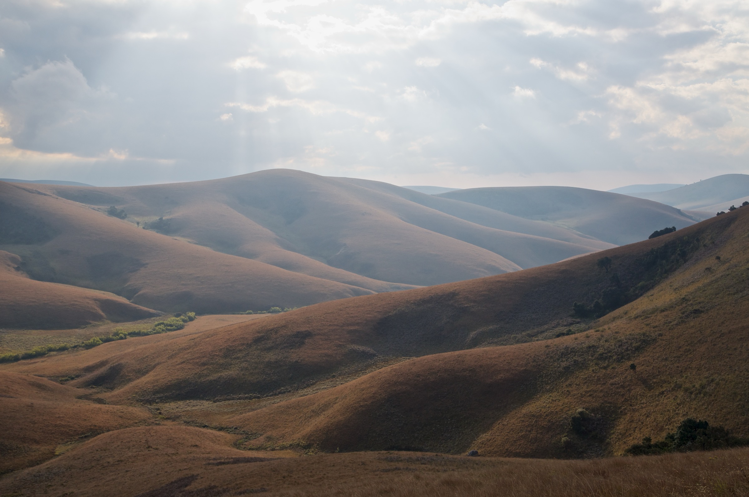
The hiking season runs from May to October, when the highland air is cool and clear and the Shire Valley below is visible in long horizontals. The wet season — November to April — brings full waterfalls, lush forest and frequent afternoon storms, with mist that can drop visibility on the rim to a few metres. The plateau has a long-standing reputation for petty robberies on its more remote spurs, particularly toward Chingwe’s Hole; the Zomba Tour Guides Association operates a daily roster of local guides from the Ku Chawe gate and is the practical answer for visitors. The plateau is also a working forest with active plantation operations and water-supply infrastructure; signed roads and dam access points are respected.
Selection rationale
The five routes cover the plateau’s signature themes: the Mulunguzi nature trail and the chain of dams and waterfalls in the eastern basin; the classic rim loop from Ku Chawe through the Emperor’s and Queen’s viewpoints; the long western traverse to Chingwe’s Hole over Mulumbe Peak; the long Two Dams circuit linking the eastern basin to the upper Chagwa rim; and the Potato Path ascent of the eastern escarpment from Zomba town itself. Together they sample the full vertical relief of the plateau and the variety of plantation, indigenous-forest and rim-edge terrain.
Summary table
| # | Hike | Country | Route type | Distance | Gain | Max elevation | Difficulty |
|---|---|---|---|---|---|---|---|
| 1 | Mulunguzi Nature Trail (Williams and Mandala Falls) | Malawi | Loop | About 6 km | About 150 m | About 1,760 m | Easy |
| 2 | Emperor’s and Queen’s view loop from Ku Chawe | Malawi | Loop | 11.5 km | 390 m | About 1,800 m | Easy–moderate |
| 3 | Chingwe’s Hole via Mulumbe Peak | Malawi | Out-and-back / point-to-point | About 16–20 km | About 500–650 m | 2,085 m | Moderate |
| 4 | Two Dams, Two Waterfalls circuit | Malawi | Loop | 19.6 km | 654 m | About 1,820 m | Moderate |
| 5 | Potato Path from Zomba town | Malawi | One-way ascent | About 3–4 km | About 500 m | About 1,800 m | Moderate |
Before you go
Required equipment
- Hiking shoes or boots with good grip; plantation tracks are loose and the rim paths are stony.
- Wind- and waterproof shell; afternoon mist and short showers are common even in the dry season.
- Sun protection, hat and at least two litres of water on the longer rim routes.
- Offline map or phone GPS; plantation forestry roads multiply at junctions and signage is intermittent.
- Headlamp for late starts; sunset around 18:00 year-round at this latitude.
Current access and safety notes
- The standard practice on the plateau is to walk with a local guide from the Zomba Tour Guides Association, registered at the Ku Chawe Inn gate. This is universally recommended for the Chingwe’s Hole route and the long western traverses.
- Petty mugging has historically been reported on the remoter spurs of the western rim; the guides operate as both navigation aid and active deterrent.
- The eastern Mulunguzi basin is in active use as Zomba town’s water source; a small dam-wall fee is collected at Mulunguzi Dam.
- Plantation traffic is light but present; give way to forestry vehicles on the gravel roads.
- Public transport to the trailhead area is by minibus from Zomba town to the plateau base and by matola (light truck) up the tarmac to Ku Chawe; pickup at Chingwe’s Hole or other rim points should be arranged in advance.
- Mobile coverage is patchy on the western rim and in the forest interior; carry a backup means of navigation.
1. Mulunguzi Nature Trail (Williams and Mandala Falls)
Snapshot
Itinerary
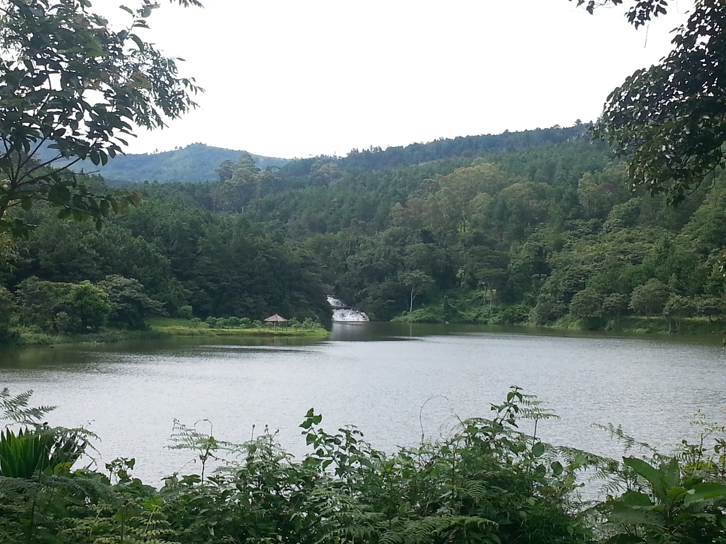
The loop starts from the picnic area at Mulunguzi Dam, the lower of the plateau’s two reservoirs, and uses the Mulunguzi Nature Trail signed by the Wildlife and Environmental Society of Malawi. The path crosses the dam wall — a small fee is collected at the kiosk — and follows the upper river bank through evergreen riverine forest. Williams Falls drops in a single set of cascades into the head of the gorge; the trail circles past the picnic terrace below the falls and continues to the small Trout Farm (a colonial-era hatchery still maintained as a forestry feature).
The return uses the upper plantation track past Mandala Falls, a quieter and shorter drop in a side stream, and rejoins the dam road at the picnic area. The full loop is about six kilometres and the individual segments — dam to Trout Farm, Trout Farm to Williams Falls, Williams Falls back via Mandala — are each around thirty-five minutes of walking. The route is the easiest signed walk on the plateau and the standard introduction to its eastern basin.
Why it is essential
The Mulunguzi Nature Trail is the only fully signed and named interpretive trail on the plateau. It threads together the two main waterfalls and the lower dam in a single low-effort loop that is feasible for visitors with limited time. The walk also gives the clearest view of the plateau’s working water infrastructure and the contrast between the indigenous riverine forest and the surrounding pine plantation.
Equipment
Standard hiking shoes or trail runners, lightweight wind layer, sun protection, and one to two litres of water. The streamside sections are slippery on wet rock; trekking poles are not necessary but help on the descent past Williams Falls. Carry small change for the dam-wall fee.
Hazards and notes
- The dam-wall crossing is a working concrete structure; stay on the marked walkway.
- Stream rocks are slippery in the wet season; expect slower progress in February and March.
- The Trout Farm has a small kiosk in the dry season but is not always staffed.
- The Wildlife and Environmental Society interpretive panels are intact at the start of the trail.
GPX / KML links
| Source | URL | Format / access | Reuse status |
|---|---|---|---|
| Komoot SmartTour — Williams Falls / Mulunguzi loop | komoot.com/smarttour/20102125 | Tour page with GPX export (account) | Komoot terms |
| Outdooractive — Hikes in Zomba | outdooractive.com | Index page with GPX export per route | Outdooractive terms |
| OSM Waymarked Trails — Zomba area | hiking.waymarkedtrails.org | OSM-based map | OSM ODbL with attribution |
External links
2. Emperor’s and Queen’s view loop from Ku Chawe
Snapshot
Itinerary
The route starts at the Sunbird Ku Chawe gate, takes the gravel forestry road north past the lower plantation block and reaches the Emperor’s View, the cliff-edge viewpoint named after Emperor Haile Selassie’s 1964 visit. The path then runs along the eastern rim to the Queen’s View, with continuous panoramic exposure over Zomba town and the Mulosa range to the south-east. From the Queen’s View the loop drops west into the plantation, picks up the Chagwa Dam track, and circles back through the Trout Farm and Williams Falls to the Ku Chawe trailhead.
The 11.5 km figure and 390 m of cumulative ascent come from the Outdooractive tour record; a parallel Komoot SmartTour catalogues a similar loop at 11.8 km. The loop is the standard plateau introduction and combines both rim viewpoints with the Williams Falls in a single walk.
Why it is essential
The Emperor’s and Queen’s views are the two named rim viewpoints on the plateau and the standard photographic stops on any visit. The full loop joins them with the Chagwa Dam, the Williams Falls and the Trout Farm in a route that summarises the eastern plateau in a single half-day. The loop also gives the most reliable measured statistics of any plateau hike, both on Outdooractive and on Komoot.
Equipment
Hiking shoes, sun hat and a wind layer for the rim. Two litres of water; the loop has no reliable refill once past the Trout Farm. The route is easy to follow with a guide; a phone GPS with the Outdooractive or OSM map loaded handles the plantation junctions independently.
Hazards and notes
- The rim viewpoints have no railings; the drop at the Emperor’s View is sustained.
- Plantation track junctions are unsigned; a guide or loaded GPX is recommended.
- The route is exposed for about half its length; an early start avoids midday heat.
- Chagwa Dam and Mulunguzi Dam are working water infrastructure; stay on the path along the dam wall.
GPX / KML links
| Source | URL | Format / access | Reuse status |
|---|---|---|---|
| Outdooractive — Emperor’s View / Queen’s View loop | outdooractive.com | Tour page with GPX export | Outdooractive terms |
| Komoot SmartTour 20102125 | komoot.com | Tour page; GPX export | Komoot terms |
| OSM Waymarked Trails — Zomba | hiking.waymarkedtrails.org | OSM map | OSM ODbL |
External links
3. Chingwe’s Hole via Mulumbe Peak
Snapshot
Itinerary
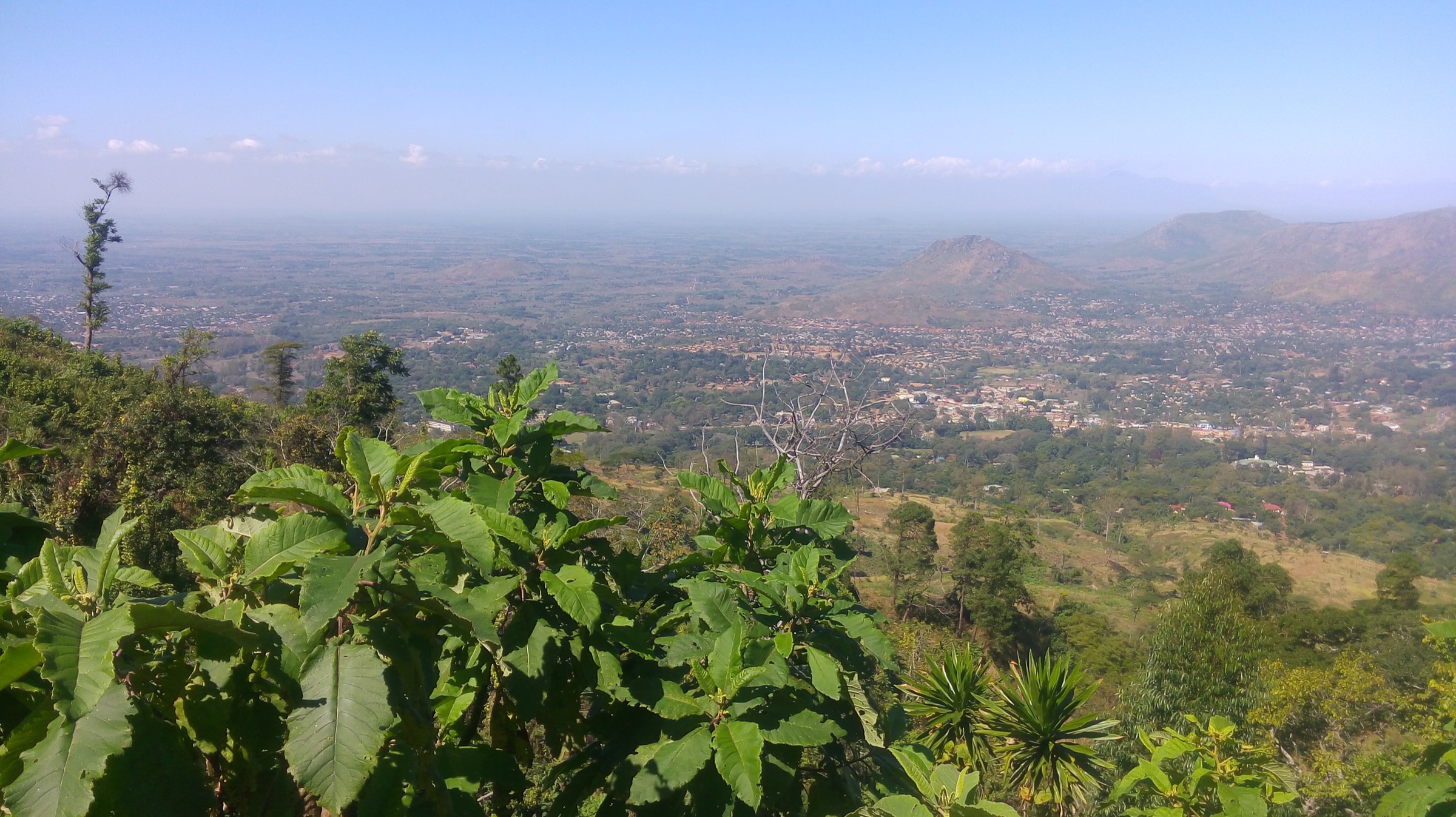
The route follows the Outer Circular forestry road north and west from the Ku Chawe gate, climbs gradually past the Chagwa Dam track, and picks up the rising spur to Mulumbe Peak on the high western ridge. Mulumbe is the plateau high point at 2,085 m (Wikipedia gives 2,087 m and the Zomba Tour Guides Association 2,085 m); on a clear day the summit gives views across the Shire Valley and as far as Lake Malombe and the Liwonde plain.
From Mulumbe the route descends west along the rim, traversing dry grassland and re-entering the plantation before reaching Chingwe’s Hole — a deep volcanic fissure on the western escarpment, around which local oral history has accumulated since the colonial period. The standard one-way variant finishes at the small car park at the head of the Chingwe’s Hole road; the out-and-back retraces the ridge to Ku Chawe. The most reliable measured segment, the Mulumbe summit traverse without the full Chingwe’s Hole spur, is given by Outdooractive as 14.7 km.
Why it is essential
Mulumbe Peak is the highest point on the plateau and the only summit-style objective on the plateau hiking circuit. Chingwe’s Hole is the plateau’s best-known cultural landmark and one of the only natural shafts of its kind in Malawi. The combination of the two in a single day is the long classic of the plateau and the route that gives the broadest single-day view of the surrounding plain.
Equipment
Sturdy hiking shoes, sun hat, three litres of water, lightweight long sleeves and a wind layer. Trekking poles help on the long descent off Mulumbe. A guide from the Zomba Tour Guides Association is universally recommended for this route and is the standard practice from the Ku Chawe gate.
Hazards and notes
- The western rim has historically been the part of the plateau most associated with petty robberies. Walking with a local guide is the standard mitigation and is universally recommended.
- The summit ridge has no shade for several kilometres.
- Chingwe’s Hole has no fence; keep clear of the edge.
- Long return distances mean a late finish; plan a midday turnaround if a pickup is not arranged at Chingwe’s Hole.
- Wikipedia gives Mulumbe at 2,087 m; the Zomba Tour Guides Association gives 2,085 m. Either is within the survey margin.
GPX / KML links
| Source | URL | Format / access | Reuse status |
|---|---|---|---|
| Outdooractive — Zomba Plateau Summit (Mulumbe variant) | outdooractive.com | Tour page; GPX export | Outdooractive terms |
| Zomba Tour Guides Association — Chingwe’s Hole tour | zombatourguides.com | Trail descriptor | Local association |
| OSM Waymarked Trails — Zomba | hiking.waymarkedtrails.org | OSM map | OSM ODbL |
External links
4. Two Dams, Two Waterfalls circuit
Snapshot
Itinerary
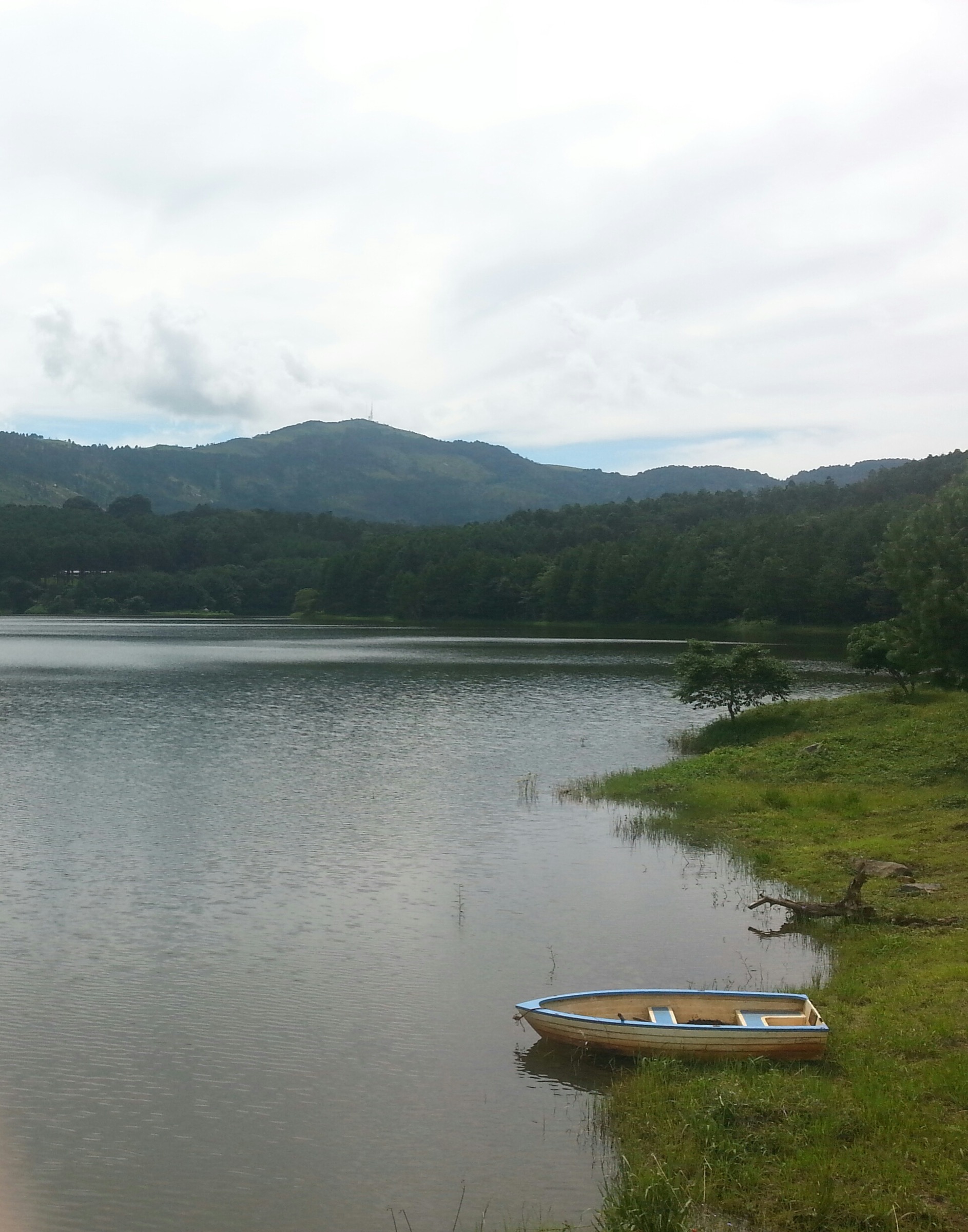
The long eastern loop starts at the Ku Chawe gate, descends the Outer Circular forestry road to the Mulunguzi Dam, crosses the dam wall and follows the river upstream past Williams Falls and the Trout Farm. From the Trout Farm the route climbs north-west through the plantation to Chagwa Dam, the upper of the two reservoirs, traverses its rim and contours back along the upper plantation track. The descent passes Mandala Falls — a quieter side-stream cascade — before rejoining the Ku Chawe road at the start.
Outdooractive measures the full circuit at 19.6 km with 654 m of cumulative ascent. The route covers both dams, both named waterfalls and the Trout Farm in a single walk, making it the long alternative to the standard Williams Falls loop.
Why it is essential
The Two Dams circuit is the most complete single-day loop of the plateau’s eastern basin and joins all four named water features in one route. The walk gives a clearer view of the Chagwa Dam — the upper of the two reservoirs — than any other route on the plateau and threads together the plantation, the riverine forest and the rim.
Equipment
Hiking shoes or boots, two to three litres of water, sun protection, wind layer and trekking poles for the long descents. The plantation sections are mosquito-rich in the wet season; long sleeves help. Snacks for the longer day are advisable.
Hazards and notes
- The plantation tracks fork frequently; carry a loaded GPX or walk with a guide.
- Both dam walls are working infrastructure; observe the on-site signage.
- The longer route has no commercial water refill between Ku Chawe and Mulunguzi Dam.
- Outdooractive notes “challenging uphills” on the Chagwa side — the rise from the Trout Farm to the upper Chagwa rim is sustained.
GPX / KML links
| Source | URL | Format / access | Reuse status |
|---|---|---|---|
| Outdooractive — Two Dams, Two Waterfalls loop | outdooractive.com | Tour page; GPX export | Outdooractive terms |
| HikingProject — Chagwa Dam Trail GPX | hikingproject.com | Direct GPX download | HikingProject terms |
| OSM Waymarked Trails — Zomba | hiking.waymarkedtrails.org | OSM map | OSM ODbL |
External links
5. Potato Path from Zomba town
Snapshot
Itinerary
The Potato Path is the traditional foot route from Zomba town to the plateau rim and the path by which highland farmers historically carried produce — particularly the potato crop that gives the path its name — down to the market in the old capital. It starts near the M3 junction in central Zomba, climbs steadily through a mix of smallholder gardens, regenerating forest and short rock steps, and exits onto the plateau at the Sunbird Ku Chawe gate.
The ascent is short but sustained: about 500 m of vertical in three to four kilometres. The path is busier with local foot traffic than any other route on the plateau and is generally regarded as the safest single-day ascent. Return is most commonly by matola truck on the tarmac road; walking down the road is also straightforward but adds an extra hour.
Why it is essential
The Potato Path is the historical foot route between Zomba town and the plateau and the only path on this catalogue that begins outside the forest reserve. It connects the old colonial capital with the upper plantation directly and gives a clear vertical profile of the entire escarpment in a single short walk.
Equipment
Hiking shoes with good grip, sun hat, two litres of water, and a wind layer for the top. The path is busy with local users in the cooler morning hours; an early start makes the ascent feel less exposed.
Hazards and notes
- The path is steep and rocky in places; loose stone in the wet season requires care.
- Return transport from the Ku Chawe gate is by matola or hire car; arrange the pickup before walking up if a road descent is not planned.
- The path is well-used by local foot traffic, which makes the route the most low-key in terms of personal safety on the plateau.
- Precise distance is not published; the figure here is approximate.
GPX / KML links
| Source | URL | Format / access | Reuse status |
|---|---|---|---|
| OSM Waymarked Trails — Zomba | hiking.waymarkedtrails.org | OSM map | OSM ODbL |
| Wikiloc search — Zomba Potato Path | wikiloc.com | User search | User-uploaded; check per track |
External links
Missing data and follow-up work
- Mulumbe Peak elevation — Wikipedia gives 2,087 m and the Zomba Tour Guides Association 2,085 m. Either is within the survey margin; 2,085 m is used here for consistency with the local tour-guide body.
- Hike 3 distance — the full out-and-back to Chingwe’s Hole has no published GPX-measured length; Outdooractive’s 14.7 km variant covers the Mulumbe summit but not the spur to the Hole itself. The 16–20 km range here is approximate.
- Hike 5 distance — the Potato Path is widely described in walking-time terms (about 1.5 hours up) but no published source gives a precise kilometre figure. The 3–4 km figure here is approximate.
- Public transport timings — minibus and matola schedules in Zomba town change daily; confirm departure points and last-return times locally before relying on transport for a one-way route.
- Plantation track signage — the gravel forestry tracks fork frequently and are not consistently signed. A loaded GPX, a local guide, or both is the standard practice for the long western routes.
External links
| Source | URL |
|---|---|
| Malawi Tourism — Zomba Plateau | malawitourism.com |
| Zomba Tour Guides Association | zombatourguides.com |
| Sunbird Ku Chawe Inn | sunbirdmalawi.com |
| Zomba Forest Lodge | zombaforestlodge.com |
| Wikipedia — Zomba Plateau | en.wikipedia.org |
| Wikivoyage — Zomba Plateau | en.wikivoyage.org |
| Outdooractive — Hikes in Zomba | outdooractive.com |
| Komoot SmartTour — Williams Falls / Mulunguzi loop | komoot.com |
| HikingProject — Chagwa Dam Trail GPX | hikingproject.com |
| OSM Waymarked Trails — Zomba | hiking.waymarkedtrails.org |