Regional overview
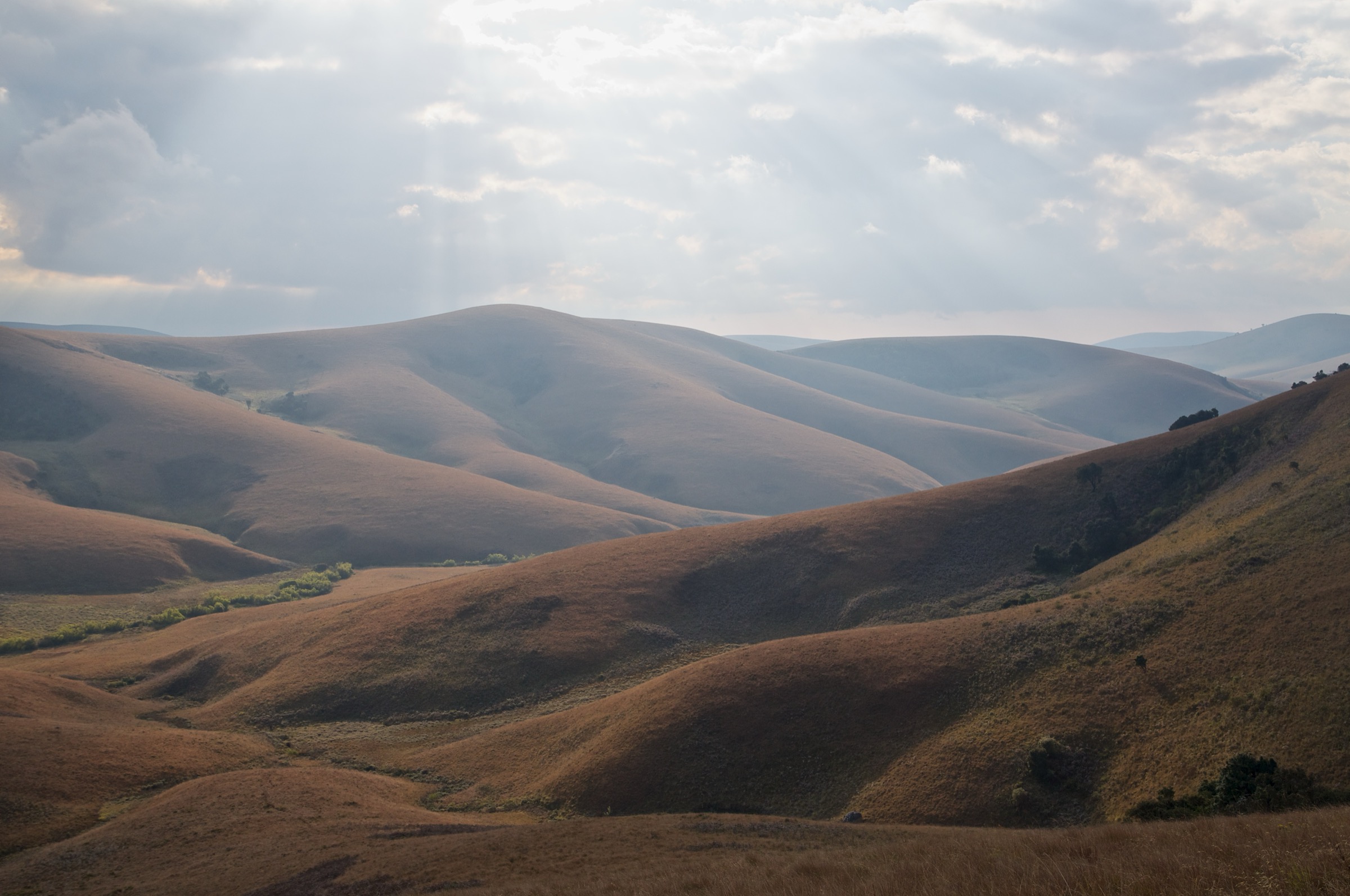
The Nyika Plateau is the largest single block of montane terrain in central Africa: a roughly diamond-shaped tableland about 90 km north–south by 50 km east–west in northern Malawi’s Rumphi District, rising to a high point of 2,605 m at Nganda Peak. Most of the surface rolls between 2,100 and 2,200 m, drained by small streams that feed the seasonally waterlogged grassland depressions known locally as dambos — the namesake of the plateau (“Nyika” means “where the water comes from”). Nyika National Park was established in 1965 and extended in 1978; it covers about 3,134 km² of Malawian territory, with a smaller contiguous park on the Zambian side of the international boundary. The park sits on the UNESCO Mixed-site Tentative List since 2000.
The matrix is treeless Afromontane grassland punctuated by patches of evergreen forest in sheltered valley heads. The most famous of those forest patches are the relic Juniperus procera stands at Chowo and Mwanda — the southernmost extant African pencil-cedar forest in the world — which were gazetted as protected forest in 1948. The mid-20th-century pine plantations (mostly Pinus patula and Pinus kesiya) around Chelinda sit awkwardly inside the conservation estate as a colonial-era forestry experiment and now serve principally as landscape feature and predator cover. The eastern margin breaks abruptly at the Livingstonia escarpment, dropping about 1,500 m toward Lake Malawi past the historic Free Church mission town and the Manchewe Falls gorge.
The defining draw of the plateau is wildlife. Nyika has one of central Africa’s highest densities of leopard, large herds of Crawshay’s zebra and roan antelope (the locally densest population in Africa), eland, reedbuck, bushbuck, warthog, side-striped jackal, spotted hyena and serval. More than four hundred bird species have been recorded, including the wattled crane and Denham’s bustard. The chiperoni — a cold, drizzly fog blown in from the south-east — can clamp the plateau even in the May-to-October dry season. The only permanent settlement is Chelinda Camp and Lodge, run by Central African Wilderness Safaris on Department of National Parks and Wildlife (DNPW) land; this is the launchpad for every route below. There is no scheduled public transport — visitors charter a 4×4 from Mzuzu (five to six hours via Rumphi and the Thazima gate) or fly into the Chelinda airstrip.
Selection rationale
The five routes cover the plateau’s defining themes: the cliff-edge viewpoint at Jalawe Rock toward Vwaza Marsh and (on clear days) Lake Malawi; the high-point summit at Nganda Peak; the rock-art and Holocene-burial site at Fingira Rock; the lake-and-forest loop around Lake Kaulime and the Zovo-Chipolo forest patch near Chelinda; and the panoramic short ascent at the Chosi viewpoint. Together they sample the named landmarks of the plateau within day-hike distance of Chelinda. The Livingstonia escarpment routes — Manchewe Falls in particular — sit below the plateau proper and belong with the Livingstonia-side articles; the multi-day Livingstonia Trail (43 km descent from Chelinda) is outside the day-hike scope.
Summary table
| # | Hike | Country | Route type | Distance | Gain | Max elevation | Difficulty |
|---|---|---|---|---|---|---|---|
| 1 | Jalawe Rock | Malawi | Out-and-back | About 3–4 km return | About 150 m | About 2,200 m | Easy |
| 2 | Nganda Peak | Malawi | Out-and-back from road | About 3–4 km return | About 250 m | 2,605 m | Easy–moderate (altitude) |
| 3 | Fingira Rock and Cave | Malawi | Out-and-back | About 6–8 km return | About 200 m | 2,137 m | Moderate |
| 4 | Lake Kaulime and Zovo-Chipolo forest loop | Malawi | Loop | About 10–14 km | About 250 m | About 2,400 m | Easy–moderate |
| 5 | Chosi viewpoint (with Domwe extension) | Malawi | Out-and-back | About 6–8 km return | About 200 m | 2,384 m | Easy |
Before you go
Required equipment
- Hiking shoes or boots with grip on wet tussock; the grassland surface is uneven year-round.
- Warm insulating layer; winter night-time temperatures at Chelinda can drop to –5 °C in July and August.
- Wind- and waterproof shell against the chiperoni fog and short rain showers.
- Two litres of water capacity per route; refill at Chelinda only.
- Headlamp and compass or phone GPS; the plateau has few landmarks once cloud rolls in.
- Sun protection — the high-altitude UV is intense in the dry season.
Current access and safety notes
- Park entry is controlled at the Thazima gate; fees are paid in cash on entry.
- Walking outside Chelinda Camp requires a DNPW scout in most cases; verify on arrival.
- Resident leopards are present across the plateau; avoid pre-dawn and dusk solo walks.
- Roan antelope and zebra are common on the approach grasslands; give wide berth.
- The chiperoni fog can drop visibility on the open plateau to a few metres within minutes.
- Lightning is a real risk in the shoulder seasons (April, November); descend ridges if storms are building.
- There is no public transport to Chelinda; visitors charter a 4×4 from Mzuzu or fly into the Chelinda airstrip.
- No mobile coverage on most of the plateau; Chelinda has limited satellite-based connectivity.
1. Jalawe Rock
Snapshot
Itinerary
Jalawe Rock is the signature short walk on the northern part of the plateau and the standard half-day activity from Chelinda Camp. The drive north from Chelinda takes about an hour through open grassland and pine plantation, with frequent zebra, roan and (in the morning) reedbuck on the verges. The walking portion starts at the road end and follows a short grass and rock approach onto a granite tor with sheer drops on three sides. From the rim the view extends north and east across the escarpment toward Vwaza Marsh Wildlife Reserve and, on clear days, the distant northern end of Lake Malawi.
The walk back retraces the approach and joins the drive south to Chelinda. The walking distance is short — three to four kilometres of trail — but the full activity is a half-day commitment once the drive is included. The route is run with a DNPW scout and is the most reliable wildlife-watching half-day on the plateau.
Why it is essential
Jalawe Rock is the most photographed short hike on the plateau and the one viewpoint that captures the relationship between the high grassland and the lower-altitude habitats — Vwaza Marsh on one side, Lake Malawi on the other. The granite tor is one of the few sharp-edged landmarks on the otherwise rolling plateau and the standard half-day from Chelinda.
Equipment
Hiking shoes, sun hat and sun protection, two litres of water, warm layer for the early-morning drive, and binoculars for the game-rich approach. The route is short and the equipment requirement is minimal.
Hazards and notes
- The granite tor has cliff drops on three sides; keep well clear of the edge.
- Leopards are present in the area; do not separate from the scout.
- The drive to the trailhead is the main time commitment; allow a full half-day.
- Precise on-foot distance is not published; the figures here come from operator descriptions.
GPX / KML links
| Source | URL | Format / access | Reuse status |
|---|---|---|---|
| OSM Waymarked Trails — Nyika | hiking.waymarkedtrails.org | OSM map | OSM ODbL with attribution |
| Wikiloc search — Jalawe Nyika | wikiloc.com | User search | User-uploaded; check per track |
External links
2. Nganda Peak
Snapshot
Itinerary
Nganda Peak is the plateau high point and the highest named hill in northern Malawi. The route is run as a vehicle-supported half- or full-day from Chelinda: the drive north takes around an hour and a half on the rough plateau tracks, with frequent stops for game. The walking portion starts at a pull-out near the summit and climbs the rounded grassland shoulder of the peak to the cairn at 2,605 m. Wikipedia gives the summit at 2,605 m; some secondary databases give 2,610 m. Either is within the survey margin and 2,605 m is used here for consistency.
The summit gives a 360-degree panorama across the entire plateau and out toward the Livingstonia escarpment to the east. Roan and zebra are typical on the approach grasslands; the descent retraces the ascent line to the vehicle.
Why it is essential
Nganda is the high point of the Nyika Plateau and the canonical summit of northern Malawi. The view from the cairn is the only one on the plateau that takes in the full extent of the rolling grassland in a single panorama. The walk is short relative to the drive but the altitude alone makes it the most distinctive single-summit objective on the plateau.
Equipment
Hiking shoes, warm layer, wind shell, sun protection, two litres of water, and binoculars for the approach drive. The walk itself is short; the day’s logistical commitment is the drive.
Hazards and notes
- The walk is short but at altitude; pace the ascent.
- Leopards are present; do not separate from the scout.
- Late-afternoon storms in the shoulder seasons (April, November) are not uncommon; turn back if cloud builds.
- No public transport; the route requires a vehicle from Chelinda.
- Precise on-foot distance is not published; the figures here are estimated from operator descriptions.
GPX / KML links
| Source | URL | Format / access | Reuse status |
|---|---|---|---|
| OSM Waymarked Trails — Nyika | hiking.waymarkedtrails.org | OSM map | OSM ODbL |
| Wikiloc search — Nganda Peak Nyika | wikiloc.com | User search | User-uploaded; check per track |
External links
3. Fingira Rock and Cave
Snapshot
Itinerary
Fingira Rock is a granite outcrop south of Chelinda with a cave at its base that has produced some of the oldest archaeology in the region. J. Desmond Clark’s 1950s and 1960s excavations recovered Holocene human burials, and one of the oldest African ancient-DNA samples was extracted from the site in 2017. The cave also preserves a series of late-Holocene rock paintings on its inner walls. The walking portion starts at the end of the access track south of Chelinda and rises gradually across open grassland to the base of the rock. The summit scramble onto the upper block is short and the cave entrance is at ground level on the south-west side.
The walking distance is around six to eight kilometres return depending on how far the vehicle reaches; for a full hike-from-Chelinda variant the round-trip on foot is closer to twenty kilometres. The Fingira coordinates and 2,137 m elevation are taken from Peakvisor.
Why it is essential
Fingira combines a short and accessible plateau summit with one of the most important archaeological sites in central Africa. The cave is the only signed rock-art site on the plateau and the standard cultural day-trip from Chelinda. The combination of summit, cave and rock paintings is unique within the Nyika circuit.
Equipment
Hiking shoes or light boots, two litres of water, sun protection, a torch for the cave interior, and a warm layer for the early-morning approach. Binoculars for the wildlife on the approach drive.
Hazards and notes
- The upper rock requires a short scramble; the line is short but exposed.
- The cave interior is dark; carry a torch and avoid touching the rock paintings.
- Leopards have been recorded around the rock; do not separate from the scout.
- The longer hike-from-Chelinda variant requires confirmation of the routing with the camp; the on-foot distance is approximate.
GPX / KML links
| Source | URL | Format / access | Reuse status |
|---|---|---|---|
| Peakvisor — Fingira Rock | peakvisor.com | Peak data and coordinates | Site terms |
| OSM Waymarked Trails — Nyika | hiking.waymarkedtrails.org | OSM map | OSM ODbL |
| Wikiloc search — Fingira Nyika | wikiloc.com | User search | User-uploaded; check per track |
External links
4. Lake Kaulime and Zovo-Chipolo forest loop
Snapshot
Itinerary
The loop is the standard guided walking day from Chelinda Camp and links the camp’s own working features with the plateau’s only natural lake. From the camp it follows the upper Chelinda dam track past Dam 2 and Dam 3, rises gradually onto the rolling grassland and reaches Lake Kaulime — a small permanent lake at around 2,400 m on the upper plateau. The route then enters a patch of Afromontane evergreen forest known in older Nyika park literature as Zovo-Chipolo (also rendered Zovokipolo) and returns to Chelinda along the upper plantation edge.
The route covers four named features in a single day: the dams, the lake, the forest patch and the pine plantation. The forest patch is small but harbours bushbuck, epiphytic orchids and a localised montane bird assemblage, and is the only easily reached patch of Afromontane forest within walking distance of Chelinda.
Why it is essential
Lake Kaulime is the only natural lake on the plateau and the most photographed water feature on Nyika. The loop combines it with the only easily reached Afromontane forest patch in the Chelinda area and the working dams that supply the camp. It is the standard guided day-walk from the camp and the route that gives the most varied single-day experience of the central plateau.
Equipment
Hiking shoes, sun hat, two litres of water, warm layer and shell for the higher grassland section, and binoculars for the lakeside and forest birding. Tick protection is sensible after rain in the lower forest.
Hazards and notes
- The plateau weather can shift quickly; carry the shell layer even on clear mornings.
- Leopards are present in the wider area; the route is normally guided.
- The “Zovo-Chipolo” name appears in older Malawi park literature and may be spelled differently on current camp signage; the route exists, the name is uncertain.
- The forest patch is small and ecologically sensitive; stay on the path.
GPX / KML links
| Source | URL | Format / access | Reuse status |
|---|---|---|---|
| OSM Waymarked Trails — Chelinda area | hiking.waymarkedtrails.org | OSM map | OSM ODbL |
| Wikiloc search — Lake Kaulime Nyika | wikiloc.com | User search | User-uploaded; check per track |
External links
5. Chosi viewpoint (with Domwe extension)
Snapshot
Itinerary
Chosi is a low rounded summit south-west of Chelinda and one of the standard half-day viewpoints from the camp. The walking portion starts at a pull-out off the Chelinda road and climbs gradually across open grassland to the summit cairn at 2,384 m. The view from the cairn is a 360-degree sweep south and west across the escarpment edge — on a clear day the rim of the Luangwa valley is visible far to the south-west.
The standard extension follows a short open ridge toward a feature locally known as Domwe (not to be confused with Domwe Island on Lake Malawi); the spur adds about a kilometre and gives a more open view to the south. Zebra and roan antelope are typical on the approach grasslands. The descent retraces the ascent line to the vehicle.
Why it is essential
Chosi is the standard south-western viewpoint of the plateau and the most accessible high vantage on the Chelinda side. The walk is short and the summit gives a sweep across the south-western escarpment that complements the northern view from Jalawe and the high-point view from Nganda. The Domwe extension makes it a longer half-day with a ridge component.
Equipment
Hiking shoes, sun hat, two litres of water, warm layer for the early-morning drive, and binoculars for the wildlife on the approach grasslands. The walk itself is short and the equipment requirement is minimal.
Hazards and notes
- The summit is exposed; descend if storms build.
- Leopards are present in the area; do not separate from the scout.
- The Domwe extension is short but the line is not waymarked; check with the scout.
- Precise walking distance is not published; figures here come from operator descriptions.
GPX / KML links
| Source | URL | Format / access | Reuse status |
|---|---|---|---|
| Peakvisor — Chosi | peakvisor.com | Peak data and coordinates | Site terms |
| OSM Waymarked Trails — Nyika | hiking.waymarkedtrails.org | OSM map | OSM ODbL |
| Wikiloc search — Chosi Nyika | wikiloc.com | User search | User-uploaded; check per track |
External links
Missing data and follow-up work
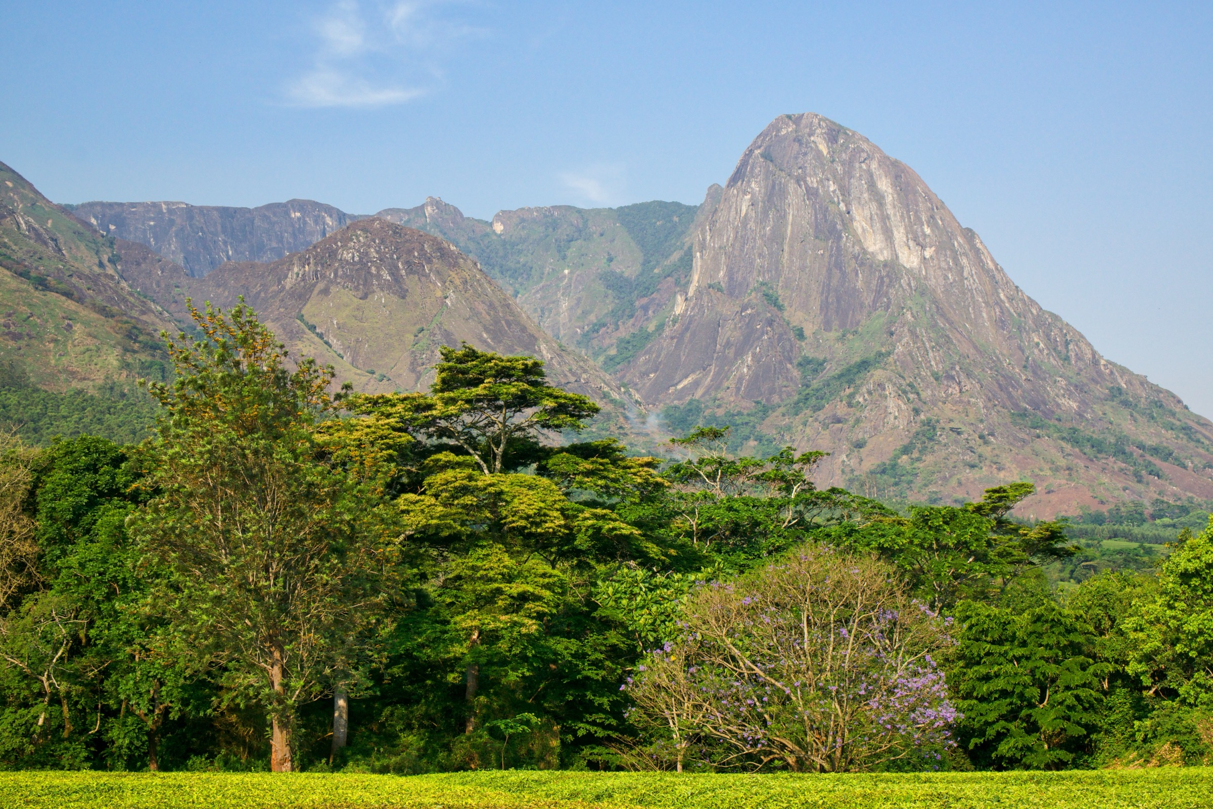
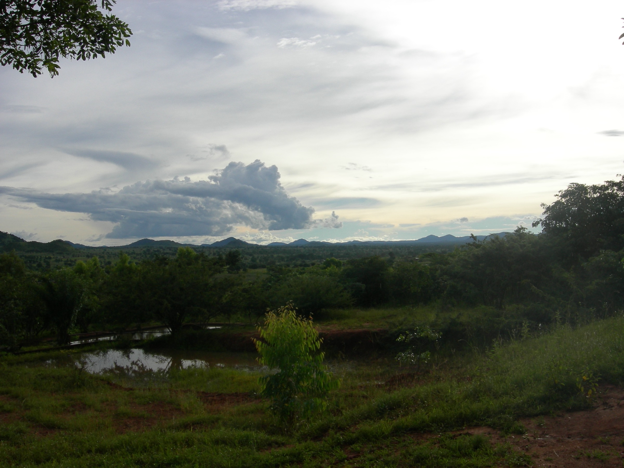
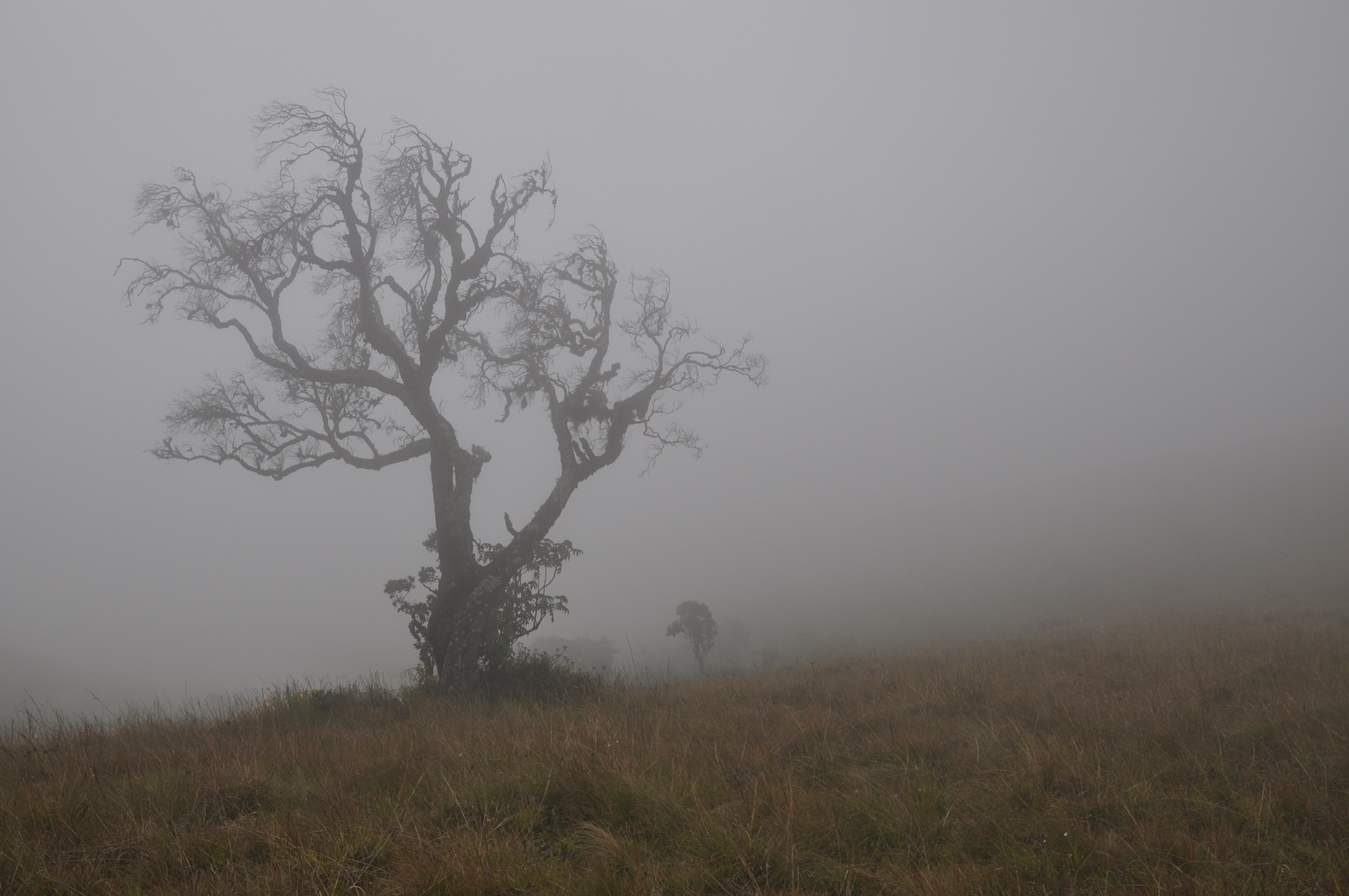
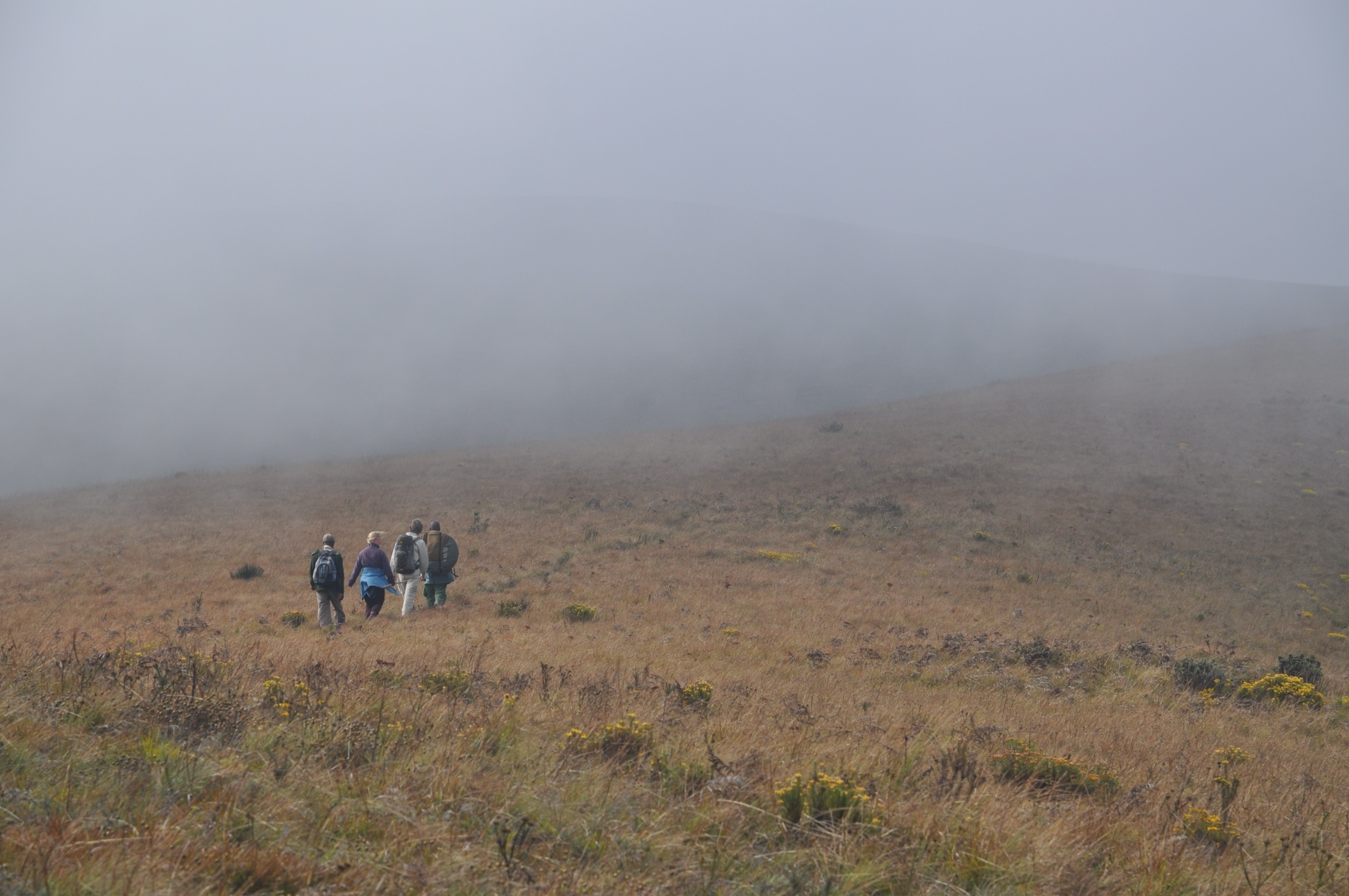
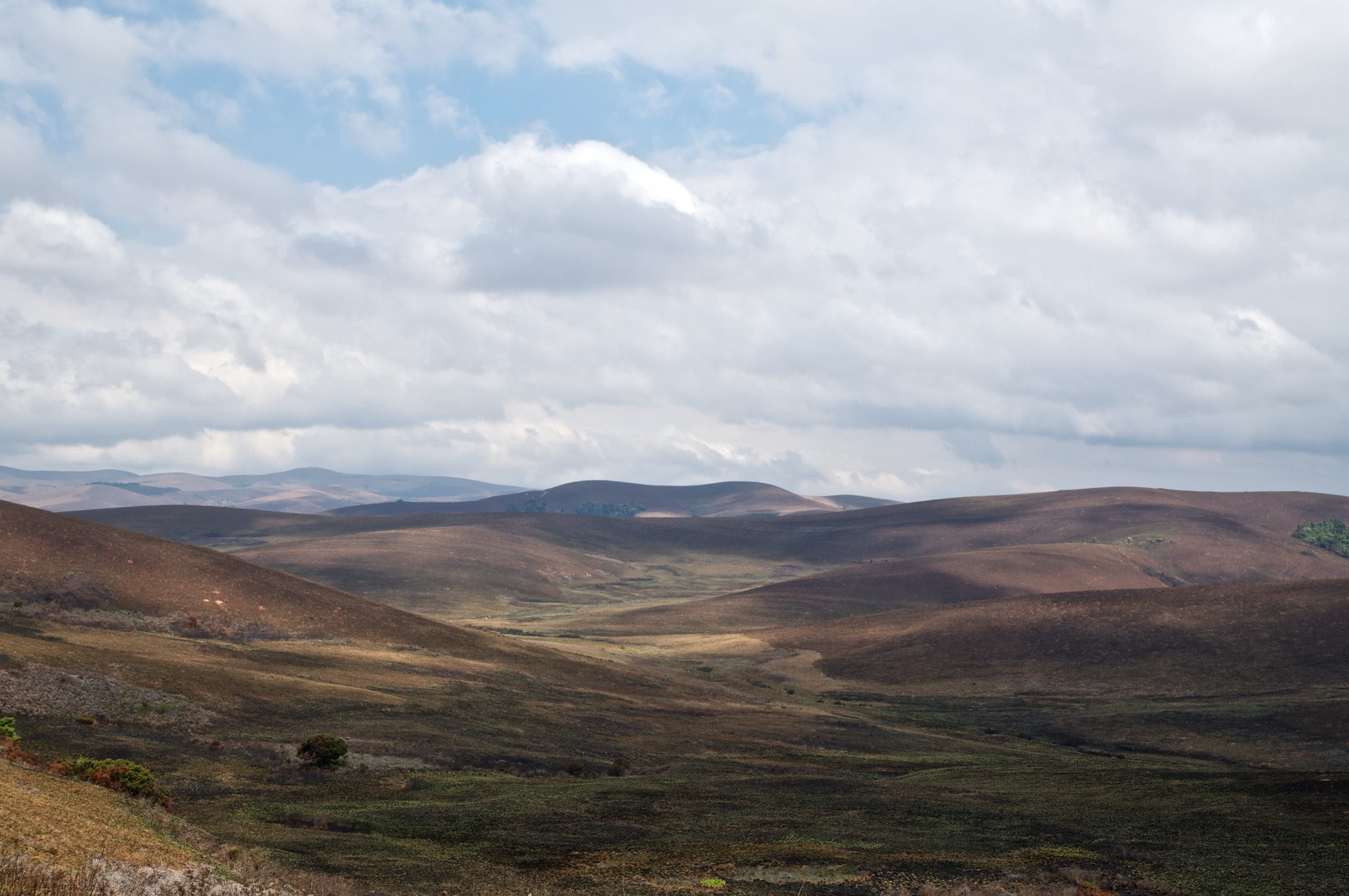
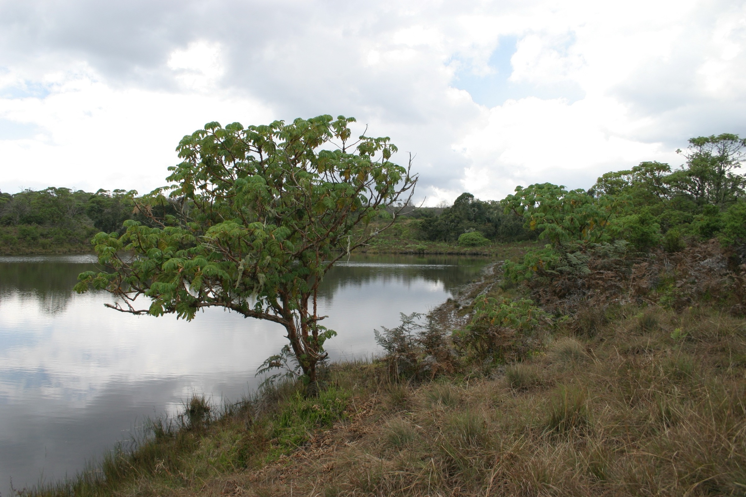
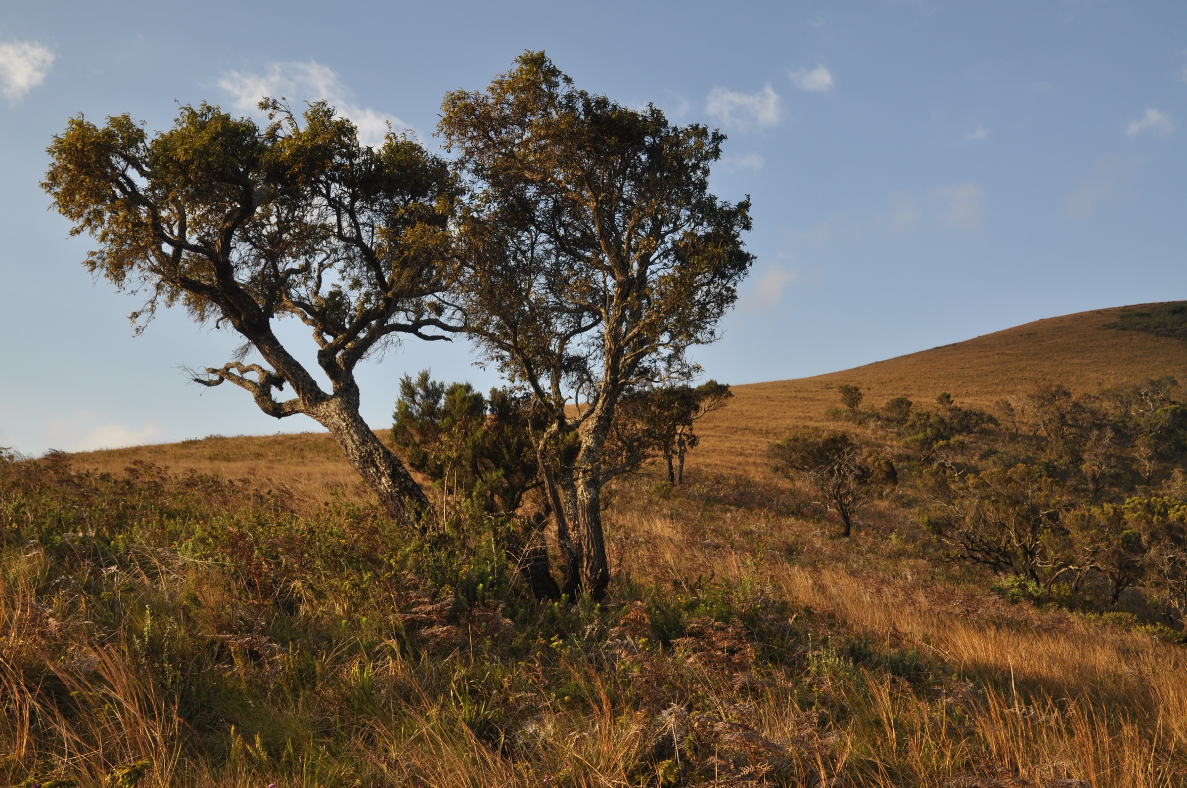
- Specific landmark photography — no Creative Commons photos exist on Wikimedia for Jalawe Rock, Nganda Peak, Fingira Rock, the Lake Kaulime forest patch by name, or Chosi. The per-hike figures here are landscape-illustrative photographs of the Nyika plateau and are captioned accordingly; the cover image is similarly drawn from the wider Heide and Wagner Nyika sets.
- “Zovo-Chipolo” naming — the spelling is uncertain in modern sources, with “Zovokipolo” and “Zovo Chipoli” also appearing. The route exists; the name should be confirmed on the ground or with the Nyika–Vwaza Trust before publication.
- Trail stats — distances and ascent figures for the walking portions are derived from operator descriptions rather than published GPX traces. Verify against the Chelinda Camp briefing or a guided itinerary PDF from Central African Wilderness Safaris before relying on exact kilometre figures.
- Nganda elevation — Wikipedia gives 2,605 m; Peakvisor lists Nganda Hill at 2,610 m. The lower figure is used here for consistency with Wikipedia and Britannica.
- Manchewe Falls and Livingstonia views are out of scope; they sit below the plateau on the Livingstonia escarpment and belong with the Livingstonia-side articles.
- Public transport does not reach Chelinda; charter a 4×4 from Mzuzu or fly into the Chelinda airstrip.
External links
| Source | URL |
|---|---|
| Department of National Parks and Wildlife — Malawi | malawi.gov.mw |
| Nyika–Vwaza Trust | nyika-vwaza-trust.org |
| Central African Wilderness Safaris | cawsmw.com |
| Wikipedia — Nyika Plateau | en.wikipedia.org |
| Wikipedia — Nyika National Park | en.wikipedia.org |
| Britannica — Nyika Plateau | britannica.com |
| Plants of the Nyika Plateau — SABONET Report 31 | sanbi.org |
| Peakvisor — Fingira Rock | peakvisor.com |
| Peakvisor — Chosi | peakvisor.com |
| OSM Waymarked Trails — Nyika | hiking.waymarkedtrails.org |
| Wikiloc — Nyika search | wikiloc.com |