Regional overview
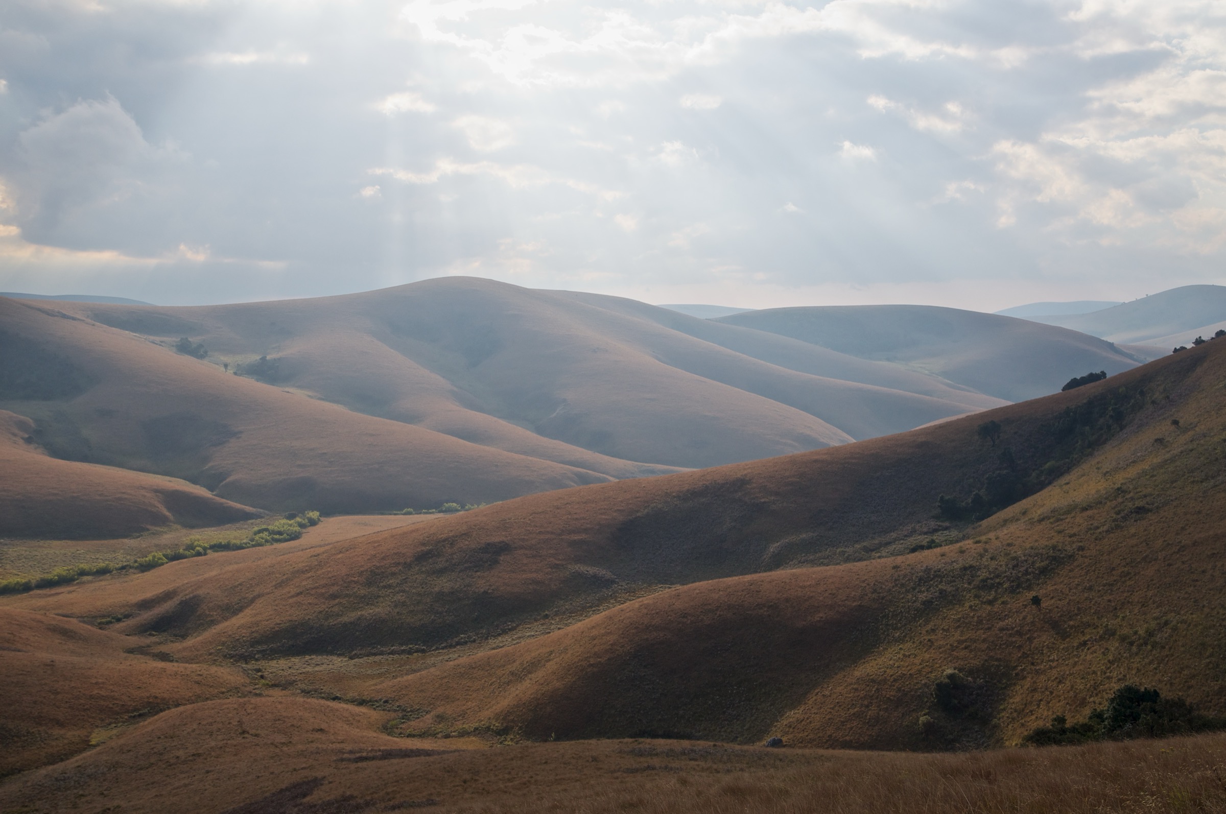
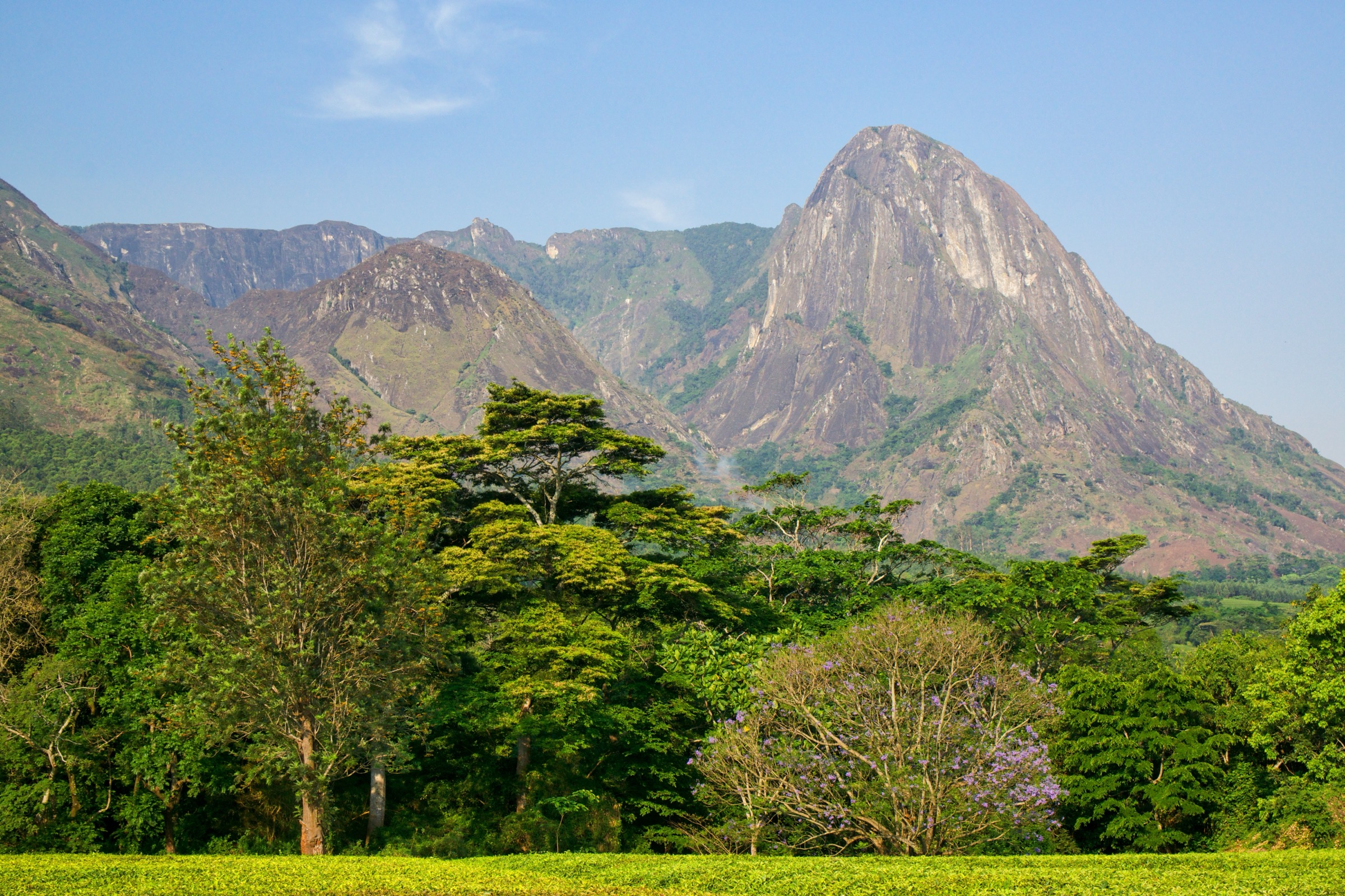
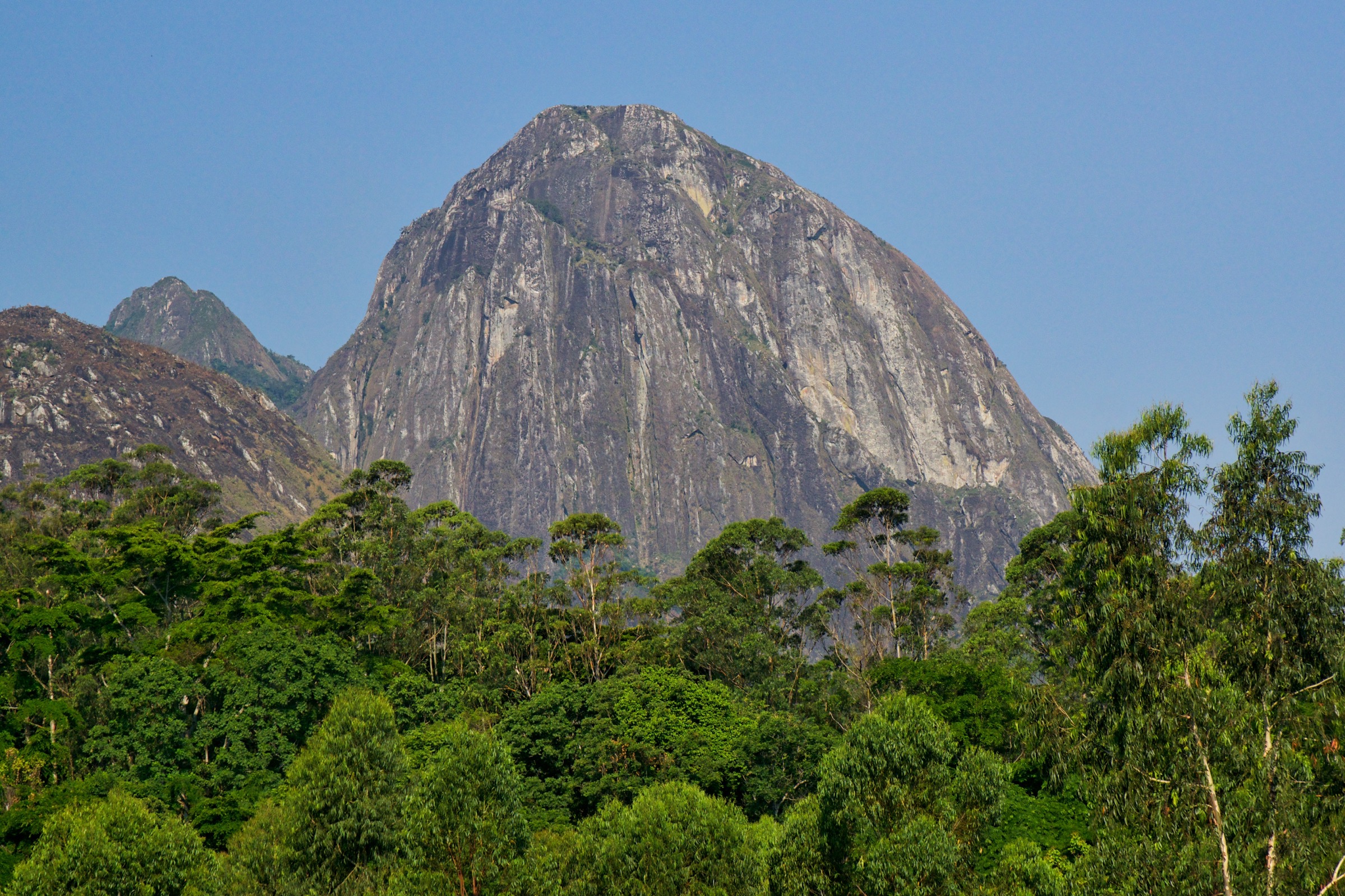
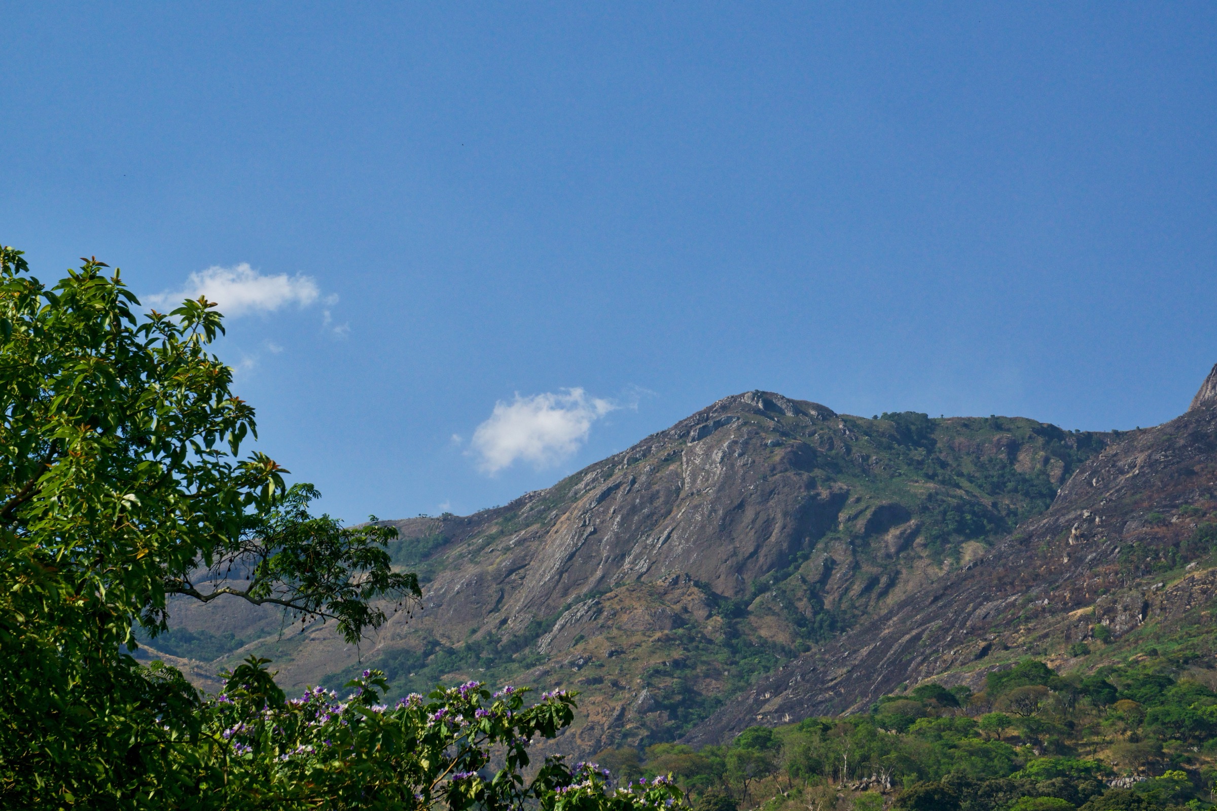
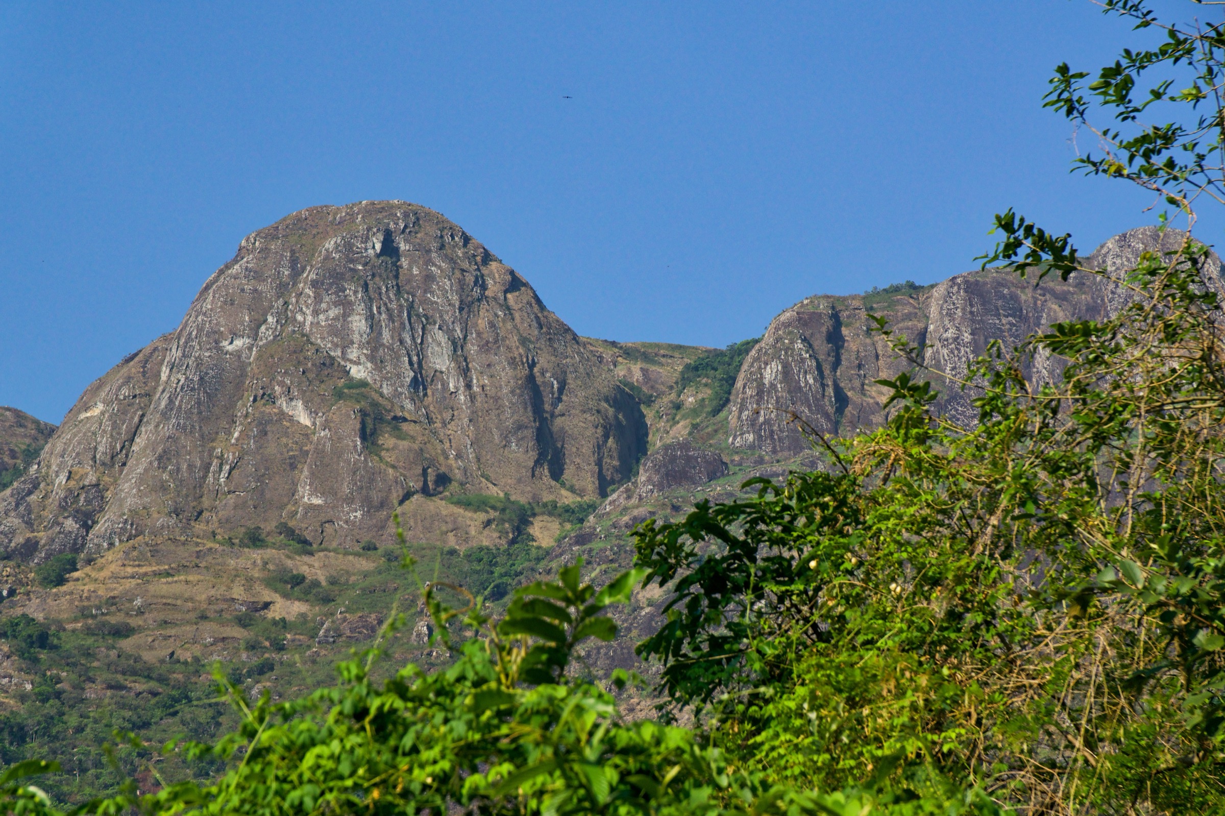
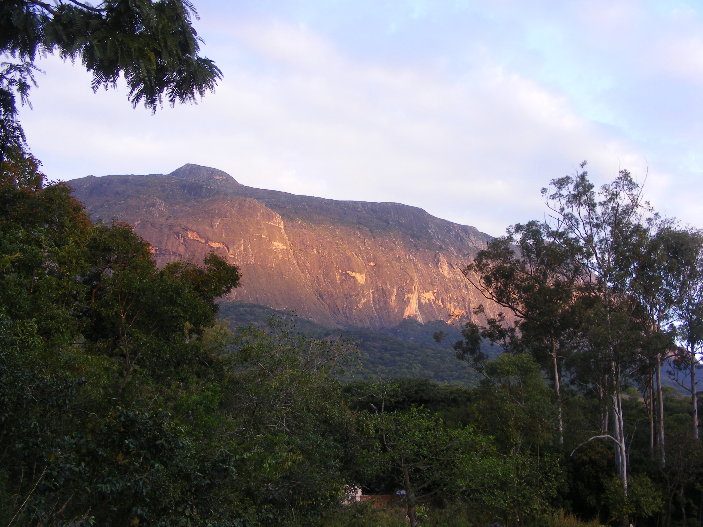
The Mulanje Massif — locally Mount Mulanje, in the south-east of Malawi about 65 km east of Blantyre — is a Mesozoic granite-syenite inselberg that rises abruptly from the surrounding Phalombe Plain. It is a ring-dyke complex emplaced into the older gneiss basement roughly 130 million years ago; differential erosion has left a high plateau averaging 1,800 to 2,200 m, punctured by syenite bornhardts. The named peaks include Sapitwa at 3,002 m — the highest point on the African mainland between the Drakensberg and Mount Kilimanjaro — together with Chambe (summit cited at 2,557 m by the Mountain Club of Malawi), West Peak at around 2,852 m, Namasile, Nakodzwe, Manene and Dzole. The forest reserve was inscribed on the UNESCO World Heritage List in 2025 and is the type locality of the endangered Mulanje cedar, Widdringtonia whytei, designated as the national tree of Malawi in 1984.
The plateau receives over 2,500 mm of rainfall a year (against about 1,000 mm on the plains below) and is wet at altitude in almost every month. The rainy season from December to March brings the chiperone: a cold, wet, fog-driven south-easterly wind which is the leading cause of hypothermia incidents on the massif and the dominant single hazard for all summit attempts. The canonical hiking window is May to September — cool, dry and clear — with October hot and hazy and the rains breaking by late November. Malaria is endemic at base; standard prophylaxis applies for any visit to the lower trailheads. The plateau also carries a real search-and-rescue load every wet season from under-prepared parties losing the trail in chiperone, and the 1991 Phalombe flash flood and landslide off the north-eastern flank, which killed several hundred people in the villages below, is the reference event for the massif’s exposure to extreme rainfall.
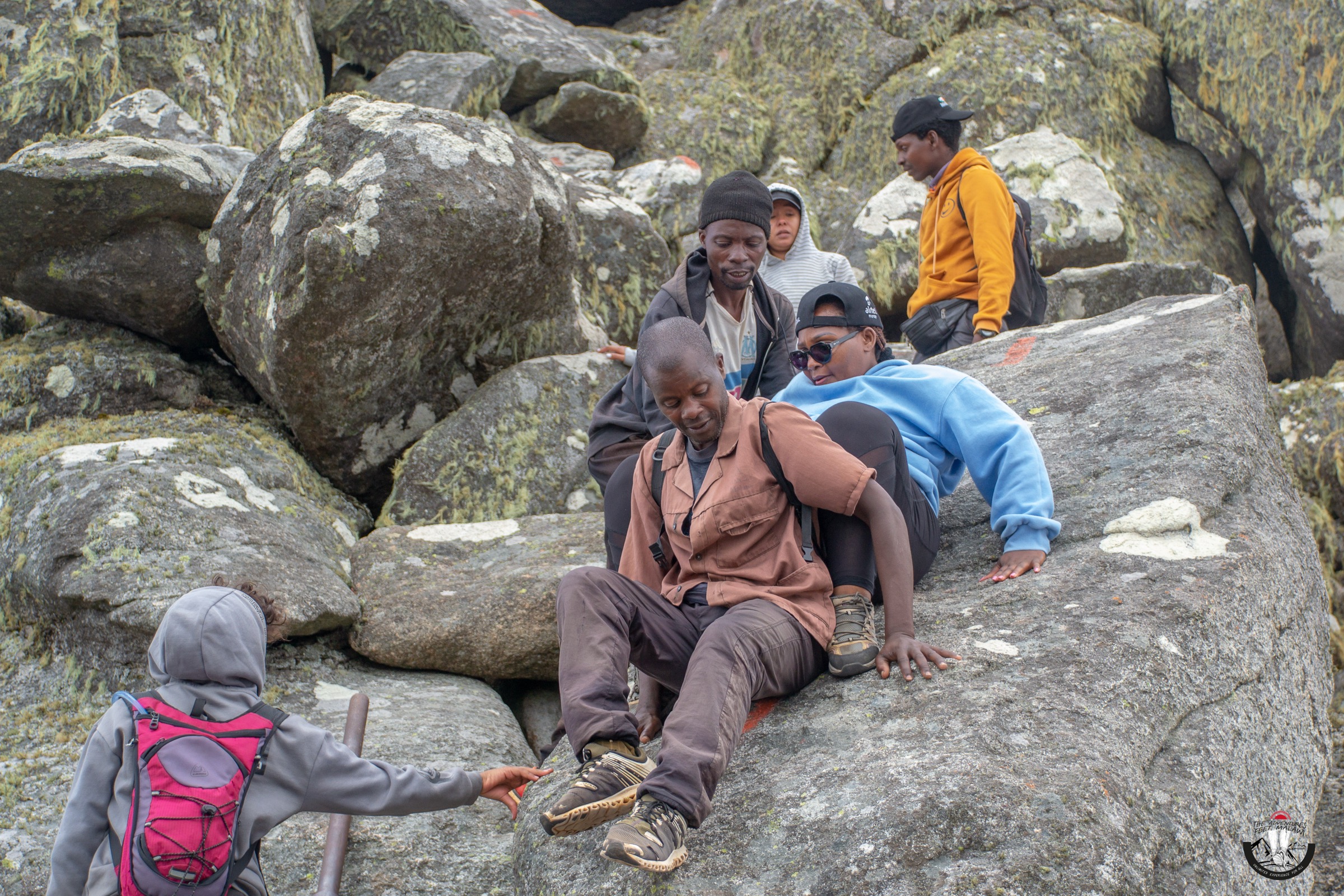
Access runs through two organisations: the Mountain Club of Malawi (MCM), which holds the canonical hut list, the route-time tables published by Frank Eastwood, and ten hut KML files; and the Mulanje Mountain Conservation Trust (MMCT), which operates InfoMulanje at Chitakale on the main road and is the practical point of contact for hut booking, guide and porter rosters. The standard main trailhead is Likhubula Forest Station at the foot of the north-western escarpment; secondary trailheads include Lujeri Tea Estate to the south-east, Fort Lister to the north-east, Mulanje Boma (Kara O’Mula) to the south and Thuchila Farm to the north. Ten huts on the plateau — Chambe, Chinzama, Chisepo, France’s Cottage, Hope Rest, Lichenya, Madzeka, Minunu, Sombani and Thuchila — operate on a first-come-first-served basis and no party is turned away. Guides are mandatory for the Sapitwa summit attempt and universally recommended elsewhere; porters are booked through the Likhubula and InfoMulanje rosters.
Selection rationale
Every classic Mulanje route is at minimum a two-day trip with an overnight at a CCAP/MMCT hut. The five entries below present each route as the most usable one-day segment of the standard plateau itinerary: the Skyline ascent from Likhubula to Chambe Hut; the long forest approach to Lichenya from the same trailhead; the Sapitwa summit day from Chisepo Hut; the West Peak summit day from Lichenya Hut; and the Boma Path approach from Mulanje town on the south side. The set covers all three principal trailheads (Likhubula, Mulanje Boma, plateau-internal Chisepo and Lichenya), the cedar core of the SW plateau and the highest summit on the massif. Route times come from the MCM’s published Eastwood table; distances and ascent figures are derived from MCM hut altitudes against trailhead altitudes and are flagged as approximate where no published GPX-measured length exists.
Summary table
| # | Hike | Country | Route type | Distance | Gain | Max elevation | Difficulty |
|---|---|---|---|---|---|---|---|
| 1 | Likhubula → Chambe Hut (Skyline Path) | Malawi | Out-and-back | About 12 km | About 960 m | 1,860 m | Moderate–hard |
| 2 | Likhubula → Lichenya Hut | Malawi | Out-and-back | About 20–24 km | About 940 m | About 1,950 m | Moderate |
| 3 | Chisepo Hut → Sapitwa summit | Malawi | Out-and-back from hut | About 8–10 km | About 800 m | 3,002 m | Hard |
| 4 | Lichenya Hut → West Peak | Malawi | Out-and-back from hut | About 10–12 km | About 1,000 m | About 2,852 m | Hard |
| 5 | Mulanje Boma → Lichenya plateau (Boma Path) | Malawi | One-way ascent | About 12–15 km | About 1,180 m | About 1,981 m | Hard |
Before you go
Required equipment
- Sturdy hiking boots with grip on bare granite slabs; the Skyline and Sapitwa routes are rock-step terrain.
- Waterproof shell and warm insulating layer year-round; the chiperone can drop hut-altitude temperatures close to freezing.
- Three to four litres of water-carrying capacity; refill at huts and named streams only.
- Headlamp for the Sapitwa summit day; pre-dawn starts from Chisepo Hut are standard.
- Trekking poles for the long bare-rock descents (Skyline, Boma Path, Sapitwa return).
- Offline map and a loaded GPX from the MCM KML set; signage on the plateau is by cairn and worn track.
Current access and safety notes
- All visitors check in at the Likhubula Forest Station kiosk or InfoMulanje at Chitakale; reserve entry fees and hut fees are paid at the gate.
- Guides are mandatory for the Sapitwa summit and are arranged through the Likhubula porter and guide roster.
- The chiperone is the leading cause of hypothermia and search-and-rescue activity on the massif; the dry-season window from May to September is the practical hiking calendar.
- All huts operate first-come-first-served; carry a tent or be prepared to sleep on the floor if the hut is full.
- Malaria is endemic at the trailhead altitudes; standard prophylaxis applies.
- The 1991 Phalombe flood is the reference event for the massif’s potential rainfall response; descend immediately if streamflow rises sharply.
- Mobile coverage is intermittent at base and absent on most of the plateau; a satellite messenger is the standard backup for parties going beyond Chambe.
1. Likhubula → Chambe Hut (Skyline Path)
Snapshot
Itinerary
The Skyline Path is the most direct of the standard Mulanje approaches. From the Likhubula Forest Station at the head of the access track it crosses the Likhubula stream and climbs the north-western escarpment in long sweeping switchbacks on bare granite slabs. The line follows a clear ridge edge for most of its length with continuous views across the Phalombe Plain to the west and the Chambe Peak rock wall to the east. The path tops out at the Chambe-West col around 2,100 m and drops a short way to Chambe Hut at 1,860 m on the upper Chambe Basin.
The standard plateau itinerary continues from Chambe Hut for a second day to Chisepo or back via the Lichenya Plateau. The one-day return version uses the same Skyline line down to Likhubula. The MCM publishes the ascent time as three hours from Eastwood’s guide; with a stop at the col viewpoint a fit party returning the same day is typically out for five to six hours.
Why it is essential
The Skyline Path is the shortest and most direct ascent of the massif and the route by which most parties first reach the plateau. The col viewpoint between Chambe Peak and West Peak gives the clearest single view of the Phalombe Plain on the entire approach circuit, and the slab-walking style of the ascent is the route’s signature. It is the only Mulanje ascent that can comfortably be done as an unbelied day-trip from Likhubula by a fit party.
Equipment
Sturdy boots with good grip on dry granite; the slabs are smooth and unforgiving in the wet. Trekking poles help on the descent. Three litres of water from the Likhubula stream — there is no further refill until the hut. Warm layer and shell for the col, where the chiperone can drop the temperature sharply even in the dry season.
Hazards and notes
- The granite slabs are slippery in the wet season; expect significantly slower progress and reduced friction in February and March.
- Sun exposure is sustained on the lower switchbacks; an early start is essential outside winter.
- The col is exposed; descend immediately if the chiperone sets in.
- Hut altitude given by MCM is 1,860 m; some older sources cite 2,000 m. Use the MCM figure.
GPX / KML links
| Source | URL | Format / access | Reuse status |
|---|---|---|---|
| Mountain Club of Malawi — hut KML index | mcm.org.mw/pages/huts.html | KML per hut (Chambe Hut.kml) | © Mountain Club of Malawi; contact webmaster for reuse |
| OSM Waymarked Trails — Mulanje | hiking.waymarkedtrails.org | OSM-based map | OSM ODbL with attribution |
| Wikiloc search — Mulanje Skyline Path | wikiloc.com | User search | User-uploaded; check per track |
External links
2. Likhubula → Lichenya Hut
Snapshot
Itinerary
The Lichenya route — sometimes called the “milk run” in MCM literature — is the long forest approach to the south-western plateau. From Likhubula it shares the start with the Skyline Path, then branches south at the lower stream crossing and climbs in long switchbacks through humid evergreen forest. The path passes the small Likhubula Falls in the lower section and rises gradually onto the Chambe-Lichenya saddle at around 1,950 m before dropping into the broad cedar-dotted plateau of the Lichenya basin. Lichenya Hut sits at 1,840 m, the standard overnight on the Lichenya plateau.
The MCM ascent time is five hours from Eastwood’s guide; the return makes for a long single day and is more often run as the first day of a two-day plateau circuit, descending via Hope Rest and the Boma Path on day two. The walk gives the most reliable continuous immersion in the Mulanje cedar of any of the standard approaches and is the cleanest single view of the Widdringtonia whytei forest core.
Why it is essential
The Lichenya plateau is the cedar core of the massif and the area in which most of the surviving Widdringtonia whytei stands. The approach is the longest and most varied of the Likhubula routes and the only one that crosses the Chambe-Lichenya saddle with views into both basins. It is the most accessible introduction to the plateau’s forest interior.
Equipment
Standard hiking boots, two to three litres of water-carrying capacity, sun protection for the lower switchbacks, and a wind layer for the saddle. The cedar forest holds moisture year-round; a lightweight rain shell is useful even in the dry season.
Hazards and notes
- Forest disorientation is the main navigational hazard; junctions are unsigned. Carry the MCM Lichenya KML or hire a guide.
- The chiperone can wrap the saddle in dense fog within minutes; descend or push on to the hut if visibility drops.
- The cedar core is the focus of active conservation work; stay on the path and respect plantings.
- Lichenya Hut is first-come-first-served; carry a sleep system if the hut is full.
GPX / KML links
| Source | URL | Format / access | Reuse status |
|---|---|---|---|
| Mountain Club of Malawi — hut KML index | mcm.org.mw/pages/huts.html | KML (Lichenya Hut.kml) | © MCM; contact for reuse |
| OSM Waymarked Trails — Mulanje | hiking.waymarkedtrails.org | OSM map | OSM ODbL |
| Wikiloc search — Lichenya | wikiloc.com | User search | User-uploaded; check per track |
External links
3. Chisepo Hut → Sapitwa summit
Snapshot
Itinerary
Sapitwa is the high point of the massif and of central southern Africa, and the summit attempt is run as a second-day push from Chisepo Hut at 2,219 m. The MCM publishes the standard approach to Chisepo as a six-hour first day from Likhubula via Chambe; the summit day begins at the hut in the dark and follows a cairned route across the upper Chisepo plateau before climbing the rounded south-east shoulder of the peak. The upper third of the route enters the Sapitwa boulder maze — a chaotic field of car-sized syenite blocks through which the cairned line picks its way to the summit cairn.
The summit itself is a small open block among the boulders, exposed on all sides. Route-finding through the boulder maze is the route’s defining technical challenge and the reason that a guide from the Likhubula porter and guide roster is mandatory. The descent reverses the route to Chisepo Hut; most parties then drop on a third day back to Likhubula via Chambe or to the Madzeka Hut and Lujeri Tea Estate on the south-east side.
Why it is essential
Sapitwa is the highest point in Malawi and on the African mainland between the Drakensberg in South Africa and Mount Kilimanjaro in Tanzania. The summit day is the canonical Mulanje objective and the route around which the whole massif hut system was originally laid out. The boulder maze of the upper summit block is unlike anything else on the plateau and is one of the most distinctive piece of summit terrain in southern Africa.
Equipment
Headlamp for the pre-dawn start, three litres of water capacity (no refill above the hut), warm layer and shell for the summit, sturdy boots for the boulder field, and gloves for the scrambling sections. A guide from the Likhubula porter and guide roster is mandatory.
Hazards and notes
- Hypothermia and lightning are the major hazards; the summit block has no shelter.
- Route-finding through the boulder maze is the route’s defining technical challenge; descend immediately in fog.
- No water sources above the hut.
- A guide is mandatory; the MMCT and Likhubula rosters publish the daily list.
- Sapitwa is sometimes confused in older sources with Chambe Peak at 2,557 m; the figures here follow the MCM.
GPX / KML links
| Source | URL | Format / access | Reuse status |
|---|---|---|---|
| Mountain Club of Malawi — hut KML index | mcm.org.mw/pages/huts.html | KML (Chisepo Hut.kml; summit cairn coordinates available on request) | © MCM |
| OSM Waymarked Trails — Mulanje | hiking.waymarkedtrails.org | OSM map | OSM ODbL |
| Wikiloc search — Sapitwa | wikiloc.com | User search | User-uploaded; check per track |
External links
4. Lichenya Hut → West Peak
Snapshot
Itinerary
West Peak — the second of the named Mulanje summits and the high point of the south-western rim — is run as a second-day push from Lichenya Hut. The route leaves the hut by the upper plateau path, traverses the open south-western basin and climbs the long western shoulder of the peak through grassland and scattered scrub. The upper summit block is a series of syenite outcrops requiring short scrambles and good route-finding to the highest cairn. The descent retraces the ascent line.
The MCM publishes the one-way time at four and a half hours from Eastwood’s guide; the full day from Lichenya Hut and back is around eight hours of moving with stops. The summit elevation given here (about 2,852 m) comes from secondary climbing sources and is flagged as candidate; the published Mulanje peak list does not give it a consistent primary figure.
Why it is essential
West Peak is the second-highest of the named Mulanje summits and the high point of the south-western rim. The route gives the most exposed plateau-rim summit experience outside Sapitwa itself, and the views west and south across the Phalombe Plain and toward the Mozambican border are the cleanest single-day vantage on the south-western side of the massif. It is the standard second-objective for parties already overnighting at Lichenya.
Equipment
Boots with grip for the summit blocks, warm layer and shell, two to three litres of water from the hut, headtorch in case of late return, and gloves for the scrambling. A guide is strongly recommended for the route-finding on the upper block.
Hazards and notes
- The upper summit block has short exposed scrambles; the easiest line is not always obvious.
- Cloud cap forms on the south-western rim in the afternoons even in the dry season; an early start is essential.
- No water sources above the hut.
- The summit elevation of 2,852 m here comes from secondary climbing sources; the figure is approximate and flagged as candidate.
GPX / KML links
| Source | URL | Format / access | Reuse status |
|---|---|---|---|
| Mountain Club of Malawi — hut KML index | mcm.org.mw/pages/huts.html | KML (Lichenya Hut.kml) | © MCM |
| OSM Waymarked Trails — Mulanje | hiking.waymarkedtrails.org | OSM map | OSM ODbL |
| Wikiloc search — West Peak Mulanje | wikiloc.com | User search | User-uploaded; check per track |
External links
5. Mulanje Boma → Lichenya plateau (Boma Path)
Snapshot
Itinerary
The Boma Path is the south-side approach to the Lichenya plateau and the most direct line up the escarpment from Mulanje town itself. From the Kara O’Mula Country Lodge above Mulanje Boma the path enters the forest reserve, climbs hard through dense low-altitude scrub, and rises rapidly onto the south face in a long series of rock-step pitches. The upper section traverses scattered cedar before topping out at Hope Rest Cottage (1,981 m) on the southern edge of the Lichenya plateau; an additional traverse south-west reaches Lichenya Hut at 1,840 m on the upper basin.
The MCM publishes the ascent time at four and a half hours to Hope Rest and five hours to Lichenya from Eastwood’s guide. The path is the steepest of the standard Mulanje approaches and the only one that starts directly from the town. The standard plateau itinerary continues from Lichenya on a following day either back down the Boma Path or out to Likhubula via the Chambe-Lichenya saddle.
Why it is essential
The Boma Path is the historical foot route from Mulanje town to the plateau and the only standard ascent that does not require any motorised transport from the town to the trailhead. The line covers the full height of the south face in a single ascent and gives the most direct sense of the massif’s vertical relief. It is the canonical south-side entry to the plateau and the standard alternative to the Likhubula approach.
Equipment
Sturdy boots with stiff soles, three litres of water capacity, sun protection for the lower scrub, warm layer for the upper traverse, and trekking poles for the descent on a subsequent day. The path is the most physically demanding of the standard ascents; pacing the lower section is the key.
Hazards and notes
- The lower scrub is hot and exposed; an early start before sunrise is the norm.
- Rockfall has been reported on the upper pitches in heavy rain; do not attempt in or just after wet weather.
- The path is the steepest of the standard ascents; the gradient is sustained for hours.
- Hope Rest Cottage is privately run by the CCAP and operates on a separate booking from the MCM hut system; confirm in advance.
GPX / KML links
| Source | URL | Format / access | Reuse status |
|---|---|---|---|
| Mountain Club of Malawi — hut KML index | mcm.org.mw/pages/huts.html | KML (Hope Rest Cott.kml, Lichenya Hut.kml) | © MCM |
| OSM Waymarked Trails — Mulanje | hiking.waymarkedtrails.org | OSM map | OSM ODbL |
| Wikiloc search — Mulanje Boma Path | wikiloc.com | User search | User-uploaded; check per track |
External links
Missing data and follow-up work
- Chambe Peak elevation discrepancy — the Mountain Club of Malawi gives Chambe at 2,557 m; the Wikipedia stub for Chambe Peak conflates it with Sapitwa’s 3,002 m. The MCM figure is used here.
- West Peak elevation — the 2,852 m figure here comes from secondary climbing sources rather than a published primary survey. Flagged as candidate.
- Distances for all five hikes — derived from MCM altitude deltas and Eastwood time estimates rather than measured GPX traces. Verify against MCM or Wikiloc tracks before relying on exact kilometre figures.
- MCM KML reuse — the hut KML files are downloadable but the MCM site asserts all rights reserved. For redistribution, contact the MCM webmaster; otherwise link out.
- Public transport detail — beyond “matola minibus from Blantyre to Mulanje Boma and on to Likhubula”, no formal schedule is published. Confirm departure and last-return times locally.
- Hope Rest Cottage — operated by the CCAP rather than the MCM hut system; bookings run separately from the InfoMulanje desk.
External links
| Source | URL |
|---|---|
| Mountain Club of Malawi | mcm.org.mw |
| Mountain Club of Malawi — huts | mcm.org.mw/pages/huts.html |
| Mountain Club of Malawi — routes | mcm.org.mw/pages/routes.html |
| Mountain Club of Malawi — planning a trip | mcm.org.mw/pages/planning-a-trip.html |
| Mulanje Mountain Conservation Trust | mountmulanje.org.mw |
| MMCT — InfoMulanje | mountmulanje.org.mw/infomulanje |
| Wikipedia — Mulanje Massif | en.wikipedia.org |
| Mountain Project — Mulanje Massif | mountainproject.com |
| OSM Waymarked Trails — Mulanje area | hiking.waymarkedtrails.org |
| Wikiloc — Mulanje search | wikiloc.com |