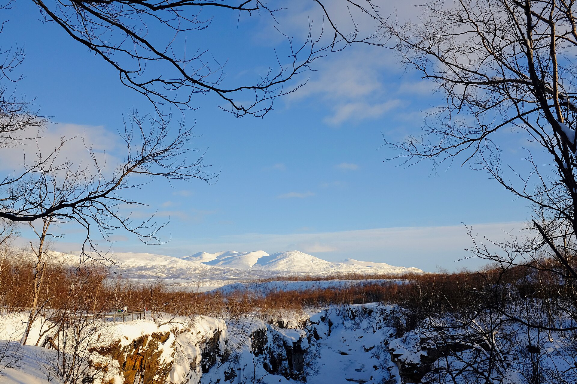
Kungsleden is a long-distance mountain trail through Swedish Lapland, running for just over 450 km between Abisko in the north and Hemavan in the south. Created by the Swedish Tourist Association in the early 20th century, the route was designed to pass through some of the finest mountain landscapes in Sweden.
The trail crosses alpine heaths, birch forests, lake country, high passes, Sámi cultural landscapes, and four national parks: Abisko, Stora Sjöfallet, Sarek, and Pieljekaise. The route is generally well marked, with bridges over difficult water crossings, but it remains a serious mountain journey. Hikers should carry a map and compass, plan food supplies carefully, and check transport, boat crossings, accommodation, and seasonal conditions before setting out.
Key facts
Main trail sections
Abisko – Nikkaluokta
Distance: 107 km · Duration: 5 – 7 days
Classic northern approach through Abisko National Park, high mountain valleys, and the Kebnekaise area.
Nikkaluokta – Saltoluokta
Distance: 102 km · Duration: 5 – 6 days
High mountain scenery, Kebnekaise, Kaitumjaure, Teusajaure, Stora Sjöfallet National Park, and the Saltoluokta approach.
Saltoluokta – Kvikkjokk
Distance: 73 km · Duration: 4 days
Lakes, boat crossings, Sarek views, Aktse, Skierffe, and old-growth forest near Kvikkjokk.
Kvikkjokk – Ammarnäs
Distance: 180 km · Duration: 9 days
The most committing section, with long stages, camping, non-STF cabins, settlements, boat crossings, and large elevation changes.
Ammarnäs – Hemavan
Distance: 78 km · Duration: 6 days
Southern Kungsleden through Vindelfjällen, with STF cabins, the Ammarnäs delta, Tärnasjön, Syterskalet, and Hemavan.
Section-by-section guide
Abisko – Nikkaluokta (107 km, 5 – 7 days)
This northern section begins at Abisko Tourist Station and enters Abisko National Park immediately. The first day follows the Abiskojåkka river through mountain birch forest before the terrain gradually opens towards alpine country. Further south, the trail crosses broad heaths, high valleys, and the Tjäktja Pass, the highest point on Kungsleden at about 1,150 m.
Typical stages: Abisko – Abiskojaure – Alesjaure – Tjäktja – Sälka – Singi – Kebnekaise – Nikkaluokta.
The final two days leave the official Kungsleden to reach Kebnekaise Mountain Station and Nikkaluokta. Shops are available at Abiskojaure, Alesjaure, and Sälka. Tjäktja and Singi have no shop. An extra night at Kebnekaise Mountain Station allows time for an ascent of Sweden’s highest mountain in suitable conditions.
Nikkaluokta – Saltoluokta (102 km, 5 – 6 days)
This section begins at Nikkaluokta, where the road ends, and heads towards Kebnekaise Mountain Station before joining Kungsleden at Singi. The route then continues through open valleys and rolling mountain terrain towards Kaitumjaure, Teusajaure, Vakkotavare, and Saltoluokta.
Typical stages: Nikkaluokta – Kebnekaise – Singi – Kaitumjaure – Teusajaure – Vakkotavare – Saltoluokta.
Shops are available at Kebnekaise, Kaitumjaure, and Teusajaure. Singi and Vakkotavare have no shop. The Vakkotavare – Saltoluokta leg includes a 30 km road section, commonly replaced by bus to Kebnats followed by boat to Saltoluokta.
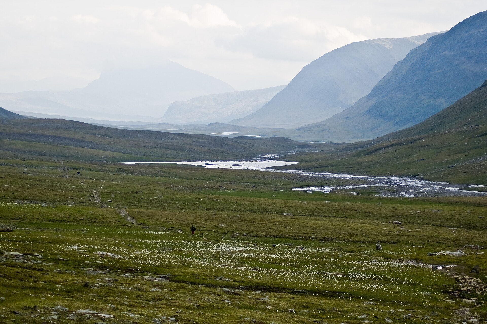
Saltoluokta – Kvikkjokk (73 km, 4 days)
The Saltoluokta – Kvikkjokk section is shorter but highly varied. The route passes between Sarek’s high mountain landscapes to the west and lower forest country to the east. It includes large lakes, mountain heaths, forest sections, and several boat or rowing crossings.
Typical stages: Saltoluokta – Sitojaure – Aktse – Pårte – Kvikkjokk.
Aktse is a key stopping point, with access to the Skierffe viewpoint above Rapadalen. The Aktse – Pårte stage enters Sarek National Park and is the longest stage of the section. Mobile coverage is limited across much of this section.
Kvikkjokk – Ammarnäs (180 km, 9 days)
This is the longest and most demanding section in the STF breakdown. It covers around 180 km over nine stages, with long days, significant height differences, and several nights where camping may be required. Accommodation is a mix of non-STF cabins, settlements, cabin villages, and tent sites.
Typical stages: Kvikkjokk – Tsielekjåkkstugan – Piteälven – Gásakláhko – Vuonatjviken – Jäckvik – Adolfström – Sjnulttjie – Rävfallsstugan – Ammarnäs.
Several crossings require boat transport or rowing. This section crosses the Arctic Circle near Vuonatjviken and passes through Pieljekaise National Park. Access restrictions, boat arrangements, opening hours, and accommodation availability should be checked before departure.
Ammarnäs – Hemavan (78 km, 6 days)
The Ammarnäs – Hemavan section is one of STF’s Signature Trails and is a more hut-based southern finish to Kungsleden. It covers 78 km in six stages, with STF accommodation at Aigert, Serve, Tärnasjö, Syter, Viterskalet, and Hemavan.
Typical stages: Ammarnäs – Aigert – Serve – Tärnasjö – Syter – Viterskalet – Hemavan.
Shops are available at Viterskalet, Tärnasjö, and Aigert. Highlights include the Ammarnäs delta, Lake Tärnasjön, the seven bridges across the lake’s southern archipelago, Syterskalet valley, and the optional ascent of Norra Sytertoppen in good conditions. Hemavan forms the southern gateway to Kungsleden and has services, accommodation, and the Naturum visitor centre.
Accommodation and food
STF huts and mountain stations provide the main accommodation structure on much of the trail, especially north of Kvikkjokk and south of Ammarnäs. Between Kvikkjokk and Ammarnäs, the route relies on non-STF cabins, small settlements, cabin villages, and camping.
STF mountain shops are divided into small and large selections. A small shop should be treated as limited but sufficient for basic meals; a large shop offers a broader range. Food plans should not rely on a single resupply point, as stock can vary.
Boats and water crossings
Boat crossings are an integral part of Kungsleden. Some crossings are optional shortcuts, some are standard route crossings, and some require private transport booked in advance.
Where rowing boats are used, at least one boat must remain on each shore. If only one boat is present on the departure shore, the crossing may require rowing across, returning with a second boat in tow, and then rowing across again.
Boats are taken out after the season, so early- or late-season hikers should check availability with the relevant authority.
Navigation and trail markings
Summer trails are usually marked by painted poles, stones, or trees. Winter trails are marked with red-cross poles.
Winter routes may cross lakes, marshes, or terrain that is unsuitable in summer, so summer hikers should not assume that winter markings provide a reliable summer line.
Digital planning maps should not replace a physical map and compass.
Reindeer herding and responsible travel
Kungsleden passes through active reindeer-herding areas. Reindeer should be observed from a distance, never approached directly, and given space to pass. Dogs should be kept leashed and close. If reindeer move away, the hiker is already too close. Particular care is required in spring, when females are pregnant or calving.
Getting there and away
Common access points include Abisko, Nikkaluokta, Saltoluokta, Kvikkjokk, Ammarnäs, and Hemavan.
- Abisko is directly served by train near the tourist station.
- Nikkaluokta is reached by bus from Kiruna.
- Saltoluokta is reached via train to Gällivare, bus to Kebnats, and boat across Lake Langas.
- Kvikkjokk is reached by bus via Murjek or Jokkmokk.
- Ammarnäs is reached by bus connections via Sorsele.
- Hemavan has onward services from the southern end of the trail.
Maps, GPX, KML, and PDFs
The STF Kungsleden pages link to embedded Naturkartan planning maps, but no direct official GPX, KML, or route-PDF download was found in the page text.
Official planning resources
- Official STF Kungsleden overview Swedish Tourist Association overview of the full trail with section pages.
- Official map Naturkartan Kungsleden Embedded Naturkartan guide and planning map for the route.
Unofficial GPX downloads
The Topo GPS file is third-party. STF does not publish a direct official GPX, KML, or route-PDF download. Treat any unofficial trace as a reference only.