Regional overview
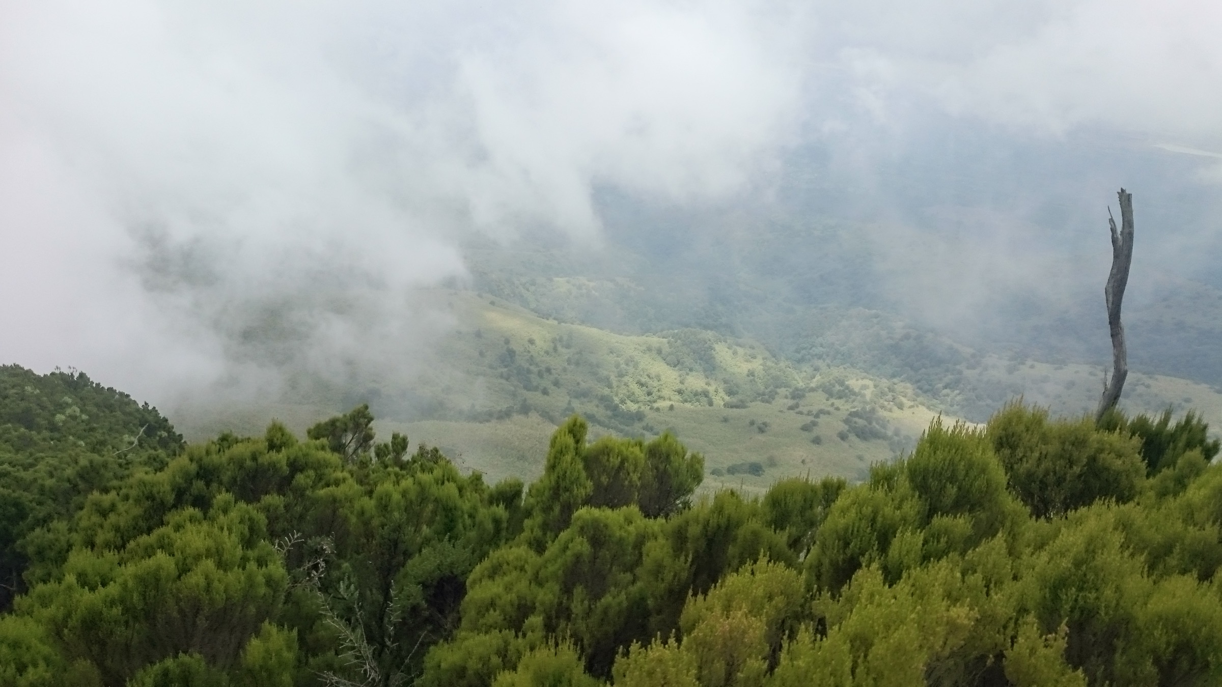
The Cherangani Hills are a western Kenyan highland range straddling Trans Nzoia, Elgeyo Marakwet, and West Pokot counties. The high points sit above 3,500 m on Kamelogon / Nakugen, with several other named summits — Chemnirot, Chebon, Chepkotet, Karelachgelat, and Sodang — defining the core ridge.
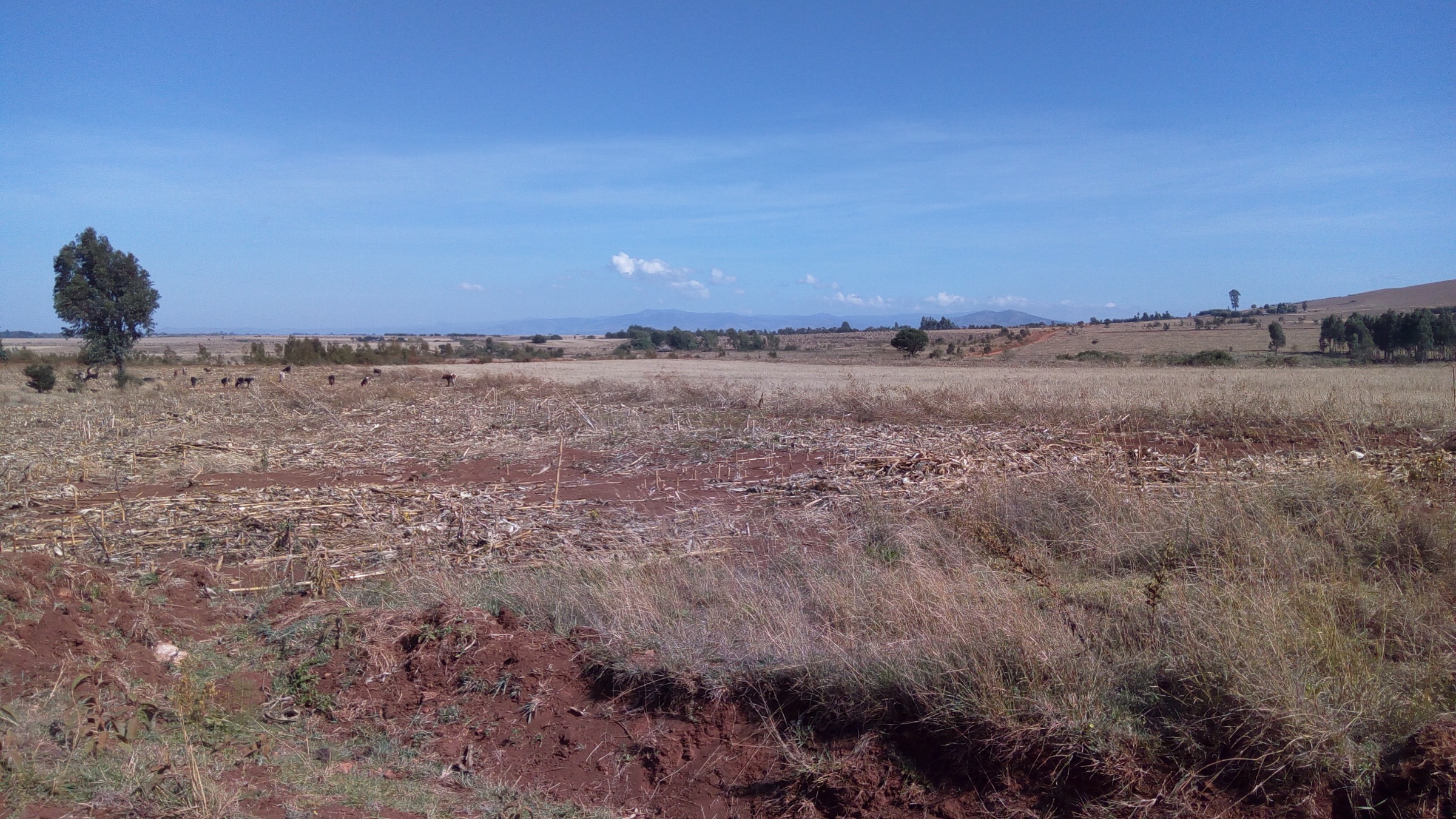
Walking is a mix of grassy summit and ridge days at altitude, moorland and montane forest descents, and forest-station-based community walks in the Kapkanyar, Kapolet, and Kiptaberr forest blocks. Trail lines are inconsistently mapped and most days require navigation support and local guide arrangement.
This article is a non-operational research catalogue for the Cherangani Hills. Public, legally reusable route geometry was not found for the five candidates in this pass. They are presented as a planning shortlist to be confirmed locally and rebuilt with verified stats, trailheads, and GPX/KML files before publication as a practical hiking guide.
Selection rationale
The shortlist covers the principal Cherangani themes: the range high point at Kamelogon / Nakugen; a near-highest summit and moorland viewpoint at Chemnirot; two further named summits in Chebon and Chepkotet that represent the core ridge character; and a forest-side counterpart through the Kapkanyar-Kapolet-Kiptaberr forest blocks. All five remain Candidate only because route geometry, statistics, GPX/KML files, and trailhead access were not confirmed in this pass.
Summary table
| # | Hike | Country | Route type | Distance | Gain | Max elevation | Difficulty |
|---|---|---|---|---|---|---|---|
| 1 | Kamelogon / Nakugen High Point | Kenya | Out-and-back; details unresolved | Unresolved | Unresolved | 3,530 m | Candidate only |
| 2 | Chemnirot Peak | Kenya | Out-and-back; details unresolved | Unresolved | Unresolved | ca. 3,520 m | Candidate only |
| 3 | Chebon Peak | Kenya | Out-and-back; details unresolved | Unresolved | Unresolved | ca. 3,375 m | Candidate only |
| 4 | Chepkotet Peak | Kenya | Out-and-back; details unresolved | Unresolved | Unresolved | ca. 3,370 m | Candidate only |
| 5 | Kapkanyar-Kapolet-Kiptaberr forest-block walk | Kenya | Out-and-back / loop; details unresolved | Unresolved | Unresolved | Unresolved | Candidate only |
1. Kamelogon / Nakugen High Point
Snapshot
Itinerary
A publication-ready itinerary was not verified. Kamelogon / Nakugen is the high point of the Cherangani Hills at 3,530 m, with reported south-side KWS-station parking near 1.16284, 35.49325. The candidate is a guide-supported out-and-back summit day. No reliable distance, ascent, or open GPX was found; secondary sources reference unrelinquished GPS-track material.
Why it is essential
Kamelogon / Nakugen is the range high point and the unavoidable headline objective of any Cherangani shortlist.
Equipment
- Sturdy boots, full rain shell, warm layer, hat and gloves for altitude.
- Headtorch, navigation backup, first-aid kit, emergency shelter.
- Local guide; altitude awareness.
Hazards and notes
- Altitude, weather exposure, navigation off marked routes, and unresolved trail geometry are the main concerns.
- Confirm KWS-station access and any park rules before walking.
GPX / KML links
| Source | URL | Format / access | Reuse status |
|---|---|---|---|
| Peakbagger: Kamelogon | peakbagger.com | Peak summary with GPS-track references | Peakbagger terms; track reuse terms unknown; no open GPX confirmed |
| OpenStreetMap search: Cherangani | openstreetmap.org | Source map/search | OSM data is ODbL; no route relation selected; geometry cross-check only |
| Wikiloc search: Cherangani Hills | wikiloc.com | Search page | Wikiloc terms apply if a track is later selected; candidate source only |
External links
2. Chemnirot Peak
Snapshot
Itinerary
A publication-ready itinerary was not verified. Chemnirot, at about 3,520 m, is a near-highest Cherangani summit. The candidate is a guide-supported summit day from a local or KFS access point. No reliable distance, ascent, or GPX was found.
Why it is essential
Chemnirot is a near-highest summit and moorland viewpoint, complementing the range high point with a distinct ridge perspective.
Equipment
- Sturdy boots, rain shell, warm layer, hat and gloves.
- Headtorch, navigation backup, first-aid kit, emergency shelter.
- Local guide; altitude awareness.
Hazards and notes
- Altitude, weather, navigation, and unresolved access are the main constraints.
- Treat as a research candidate; confirm forest-station and community rules before walking.
GPX / KML links
| Source | URL | Format / access | Reuse status |
|---|---|---|---|
| OpenStreetMap search: Chemnirot Cherangani | openstreetmap.org | Source map/search | OSM data is ODbL; no route relation selected; geometry cross-check only |
| Wikiloc search: Cherangani Hills | wikiloc.com | Search page | Wikiloc terms apply if a track is later selected; candidate source only |
External links
3. Chebon Peak
Snapshot
Itinerary
A publication-ready itinerary was not verified. Chebon, at about 3,375 m, is a named high summit in the core Cherangani range. The candidate is a guide-supported summit day from a local access point. No reliable distance, ascent, or GPX was found.
Why it is essential
Chebon is one of the named high summits of the core Cherangani range and a useful mid-elevation summit objective.
Equipment
- Sturdy boots, rain shell, warm layer.
- Headtorch, navigation backup, first-aid kit.
- Local guide.
Hazards and notes
- Navigation, weather, and unresolved access are the main constraints.
- Treat as a research candidate.
GPX / KML links
| Source | URL | Format / access | Reuse status |
|---|---|---|---|
| OpenStreetMap search: Chebon Cherangani | openstreetmap.org | Source map/search | OSM data is ODbL; no route relation selected; geometry cross-check only |
| Wikiloc search: Cherangani Hills | wikiloc.com | Search page | Wikiloc terms apply if a track is later selected; candidate source only |
External links
4. Chepkotet Peak
Snapshot
Itinerary
A publication-ready itinerary was not verified. Chepkotet, at about 3,370 m, is a representative grassy summit and ridge walk in the core Cherangani range. The candidate is a guide-supported summit day from a local access point. No reliable distance, ascent, or GPX was found.
Why it is essential
Chepkotet is a representative grassy summit and ridge walk in the core Cherangani range, useful as a less-demanding alternative to Kamelogon and Chemnirot.
Equipment
- Sturdy boots, rain shell, warm layer.
- Headtorch, navigation backup, first-aid kit.
- Local guide.
Hazards and notes
- Navigation, weather, and unresolved access are the main constraints.
- Treat as a research candidate.
GPX / KML links
| Source | URL | Format / access | Reuse status |
|---|---|---|---|
| OpenStreetMap search: Chepkotet Cherangani | openstreetmap.org | Source map/search | OSM data is ODbL; no route relation selected; geometry cross-check only |
| Wikiloc search: Cherangani Hills | wikiloc.com | Search page | Wikiloc terms apply if a track is later selected; candidate source only |
External links
5. Kapkanyar-Kapolet-Kiptaberr forest-block walk

Snapshot
Itinerary
A publication-ready itinerary was not verified. The Kapkanyar, Kapolet, and Kiptaberr forest blocks are among the principal Cherangani forest reserves. The candidate is a guide-supported out-and-back or loop walk from a forest-station access point. No reliable walking line, distance, or GPX was found.
Why it is essential
The forest-block walk is the forest-side complement to the summit routes and represents the conservation and indigenous-forest character of the Cherangani Hills.
Equipment
- Sturdy footwear, rain shell, warm layer.
- Insect protection, navigation backup, first-aid kit.
- Local guide and forest-station permissions.
Hazards and notes
- Access permissions, navigation, and wet ground are the main concerns.
- Conservation restrictions may apply; confirm forest-station rules before entry.
GPX / KML links
| Source | URL | Format / access | Reuse status |
|---|---|---|---|
| OpenStreetMap search: Kapkanyar Cherangani | openstreetmap.org | Source map/search | OSM data is ODbL; no route relation selected; geometry cross-check only |
| Wikiloc search: Cherangani forest | wikiloc.com | Search page | Wikiloc terms apply if a track is later selected; candidate source only |
External links
Missing data / follow-up work
- No official or reusable GPX/KML route files found for any of the five candidates.
- No verified route distances, ascents, descents, walking times, or precise public trailhead coordinates found; Peakbagger references GPS-track material whose reuse terms are unknown.
- Licence-compatible hike-specific photographs are limited; Hikes 2, 3, and 4 have no hike-specific image and rely on the region-level cover view.
- Direct Wikimedia Commons file URLs for the selected photos were not supplied in the source spec; search-URL placeholders are used and should be replaced with file URLs at publication time.
- Permits, KWS / KFS station access, community permissions, and current guide availability all need on-the-ground verification before practical publication.
External links
| Source | URL |
|---|---|
| Wikipedia — Cherangani Hills | en.wikipedia.org |
| Wikipedia — Cherangani Hills Forest | en.wikipedia.org |
| Peakbagger — Kamelogon | peakbagger.com |
| OpenStreetMap | openstreetmap.org |
| Wikiloc search | wikiloc.com |
| AllTrails search | alltrails.com |