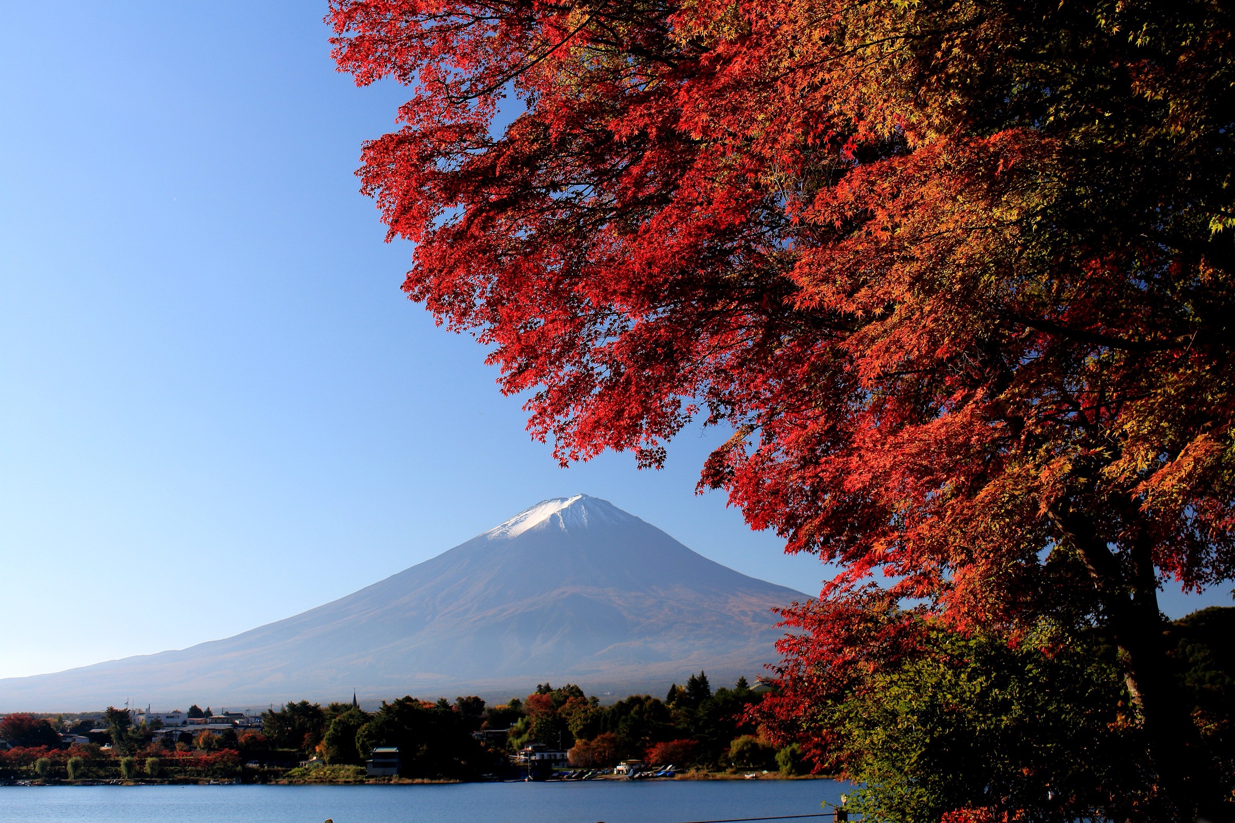
Regional overview
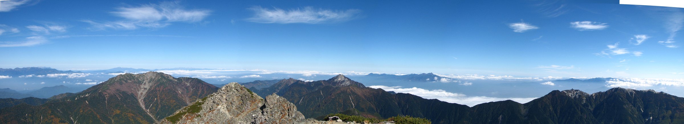
The Japanese Alps cover the Northern, Central, and Southern Alps of central Honshu. This is Japan’s most alpine hiking landscape: 3,000-metre peaks, cirques, volcanic summits, high shrines, bus-only trailheads, ropeway access, mountain huts, snowfields, and fast-changing weather. Many classic routes are multi-day, so this entry selects day-hike objectives that are either lift/bus-assisted or feasible as very long single-day climbs for strong walkers.
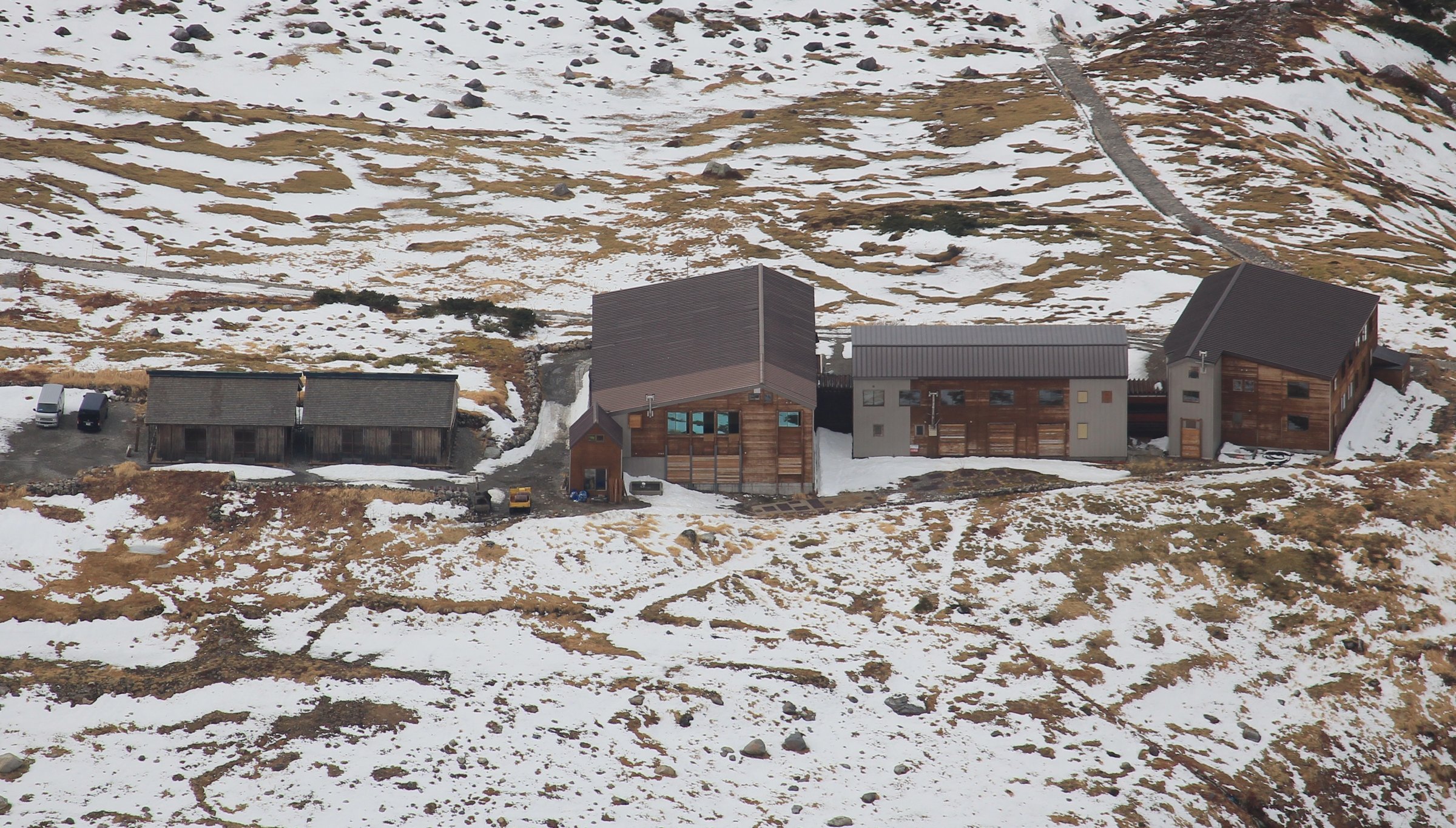
Main hiking centres include Kamikochi and Norikura in the Northern Alps, Murodo on the Tateyama Kurobe Alpine Route, Senjojiki in the Central Alps, and Hirogawara in the Southern Alps. Access is heavily seasonal and often public-transport controlled: private cars are restricted in Kamikochi, Norikura Tatamidaira, Murodo, and Hirogawara.
The practical hiking season is generally July to October for high routes, with snow lingering into early summer and early winter conditions possible from October onward. Even short ropeway-assisted routes can become serious in bad weather, snow, ice, or poor visibility.
Selection rationale
The five hikes were selected to balance the major sub-ranges and route types: an active Northern Alps volcano, a sacred Tateyama summit from Murodo, the Central Alps’ Senjojiki-to-Kiso-Komagatake route, a high bus-assisted Norikura summit, and the Southern Alps’ iconic Kita-dake ascent.
Summary table
| # | Hike | Country | Route type | Distance | Gain | Max elevation | Difficulty |
|---|---|---|---|---|---|---|---|
| 1 | Mount Yakedake from Kamikochi | Japan | Out-and-back / traverse variant | 10.6-12.6 km | 873-1,019 m | 2,455 m | Hard |
| 2 | Tateyama - Murodo to Oyama | Japan | Out-and-back | ca. 4 km | ca. 550-600 m | 3,003 m | Moderate-hard |
| 3 | Mount Kiso-Komagatake from Senjojiki Cirque | Japan | Out-and-back | 4.5 km | 473 m | 2,956 m | Hard in alpine conditions |
| 4 | Mount Norikura - Tatamidaira to Kengamine | Japan | Bus-assisted out-and-back | 2.4-3.0 km | ca. 250-325 m | 3,026 m | Moderate |
| 5 | Mount Kita-dake from Hirogawara | Japan | Out-and-back / route variant | 12.1-19.1 km depending current route | 1,684-2,060 m | 3,193 m | Very hard |
1. Mount Yakedake from Kamikochi
Snapshot
Itinerary
From Kamikochi, the route climbs through forest above the valley floor toward Yakedake’s volcanic upper slopes. It reaches steeper, rockier ground near the summit area, where views open across Taisho Pond, Kamikochi, Hotaka, and the Northern Alps. The return can retrace the Kamikochi line or, where open and planned with transport, descend toward Nakanoyu.
Why it is essential
Yakedake is Kamikochi’s active volcanic summit and one of the most accessible high day hikes in the Northern Alps. It combines the classic Kamikochi valley approach with volcanic terrain and big views of the Hotaka range.
Equipment
- Mountain hiking equipment: sturdy boots
- Waterproof and warm layers
- Map/GPS and navigation backup
- Headtorch
- Water and food
- Trekking poles
- Helmet is not normally required for the standard hike but may be prudent if local advisories mention rockfall or crowded rocky sections
Hazards and notes
- Yakedake is an active volcano.
- Check volcanic alerts, Kamikochi official trail status, ladders/steep sections, and whether the Kamikochi-Yakedake trail or Nakanoyu traverse is open.
- Snow, ice, or wet rock materially changes the route.
GPX / KML links
| Source | URL | Format / access | Reuse status |
|---|---|---|---|
| Kamikochi official trekking page | kamikochi.org | Official route context | Website terms not fully checked; GPX not found |
| AllTrails: Mount Yakedake - Kamikochi | alltrails.com | Source route page / app track | AllTrails terms apply; route-file reuse not confirmed |
| AllTrails: Kamikochi - Mount Yakedake | alltrails.com | Source route page / app track | AllTrails terms apply; traverse source; reuse not confirmed |
External links
- Kamikochi — official trekking page
- Kamikochi — Yakedake trail closure notice (PDF)
- AllTrails — Mount Yakedake from Kamikochi
- AllTrails — Kamikochi to Mount Yakedake
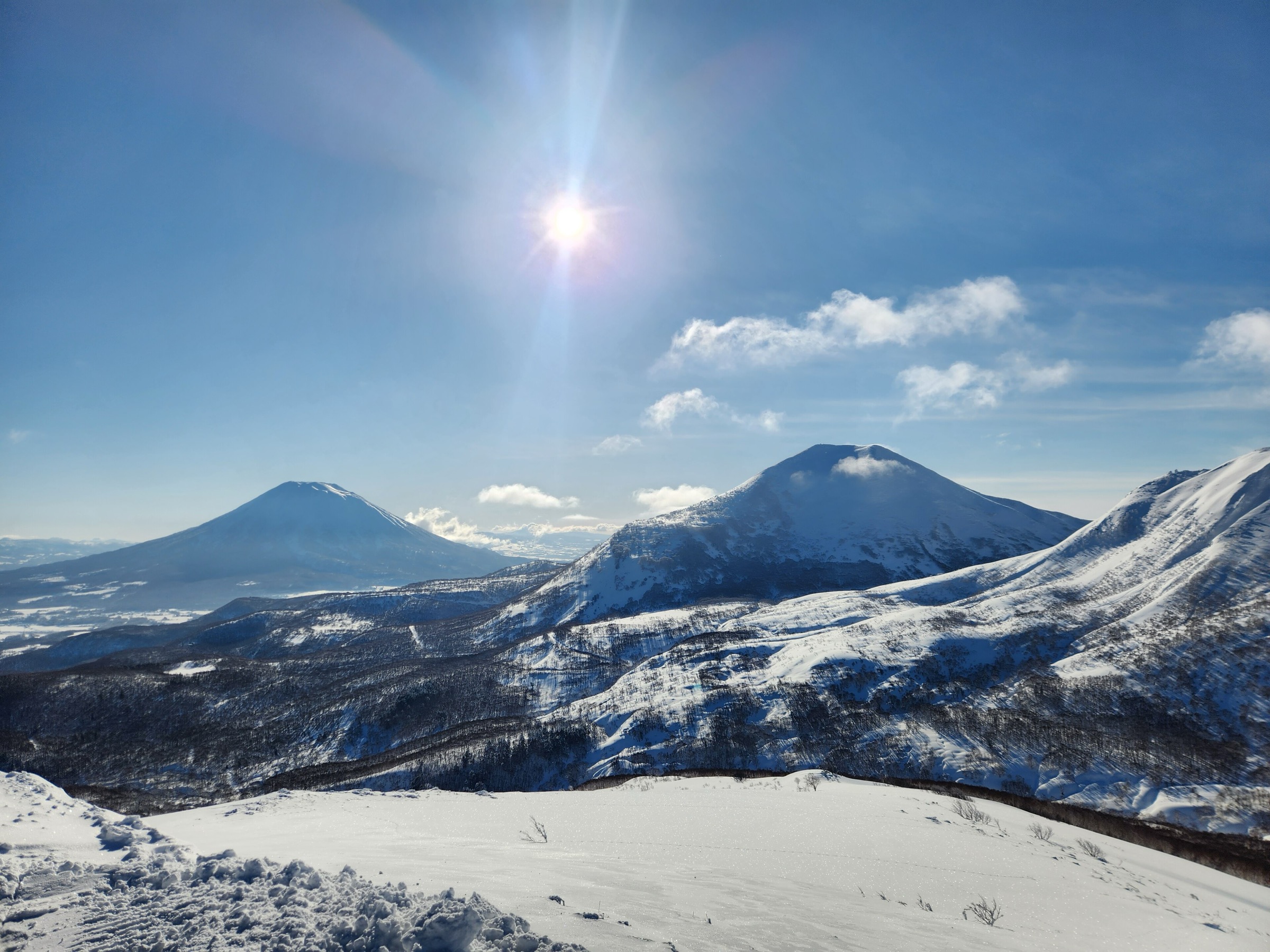
2. Tateyama - Murodo to Oyama
Snapshot
Itinerary
From Murodo, the route follows the signed high-alpine path toward Ichinokoshi and then climbs the steeper rocky slope to Oyama, the shrine-topped summit of Tateyama. The return follows the same line to Murodo. In settled conditions, experienced walkers may extend along the Tateyama ridge, but the essential day-hike objective is the Murodo-Oyama summit route.
Why it is essential
Tateyama is one of Japan’s sacred mountains and a defining Northern Alps high point. The Murodo approach makes a 3,000-metre-class summit possible as a day hike while still requiring real alpine judgement.
Equipment
- Mountain hiking equipment: boots
- Waterproof and warm layers
- Gloves/hat
- Sun protection
- Water and food
- Map/GPS and navigation backup
- Microspikes/crampons and ice axe may be necessary outside summer snow-free conditions
Hazards and notes
- The route is high, rocky, and weather-sensitive.
- Transport timing is part of the safety plan: missing the last Alpine Route connection can create a serious logistical problem.
- Snowfields, whiteout, thunderstorms, and altitude symptoms are possible.
GPX / KML links
| Source | URL | Format / access | Reuse status |
|---|---|---|---|
| JNTO Murodo page | japan.travel | Official access/hiking context | Website terms not fully checked; GPX not found |
| Tateyama Kurobe Alpine Route official FAQ | tateyama-kurobe.com | Official access context | Website terms not fully checked; GPX not found |
| Japan Guide: Murodo | japan-guide.com | Guide/source page | Website terms not fully checked; route-file unresolved |
External links
- JNTO — Murodo
- Tateyama Kurobe Alpine Route — official FAQ
- Japan Guide — Murodo
- Kanpai Japan — Murodo / Oyama round-trip context
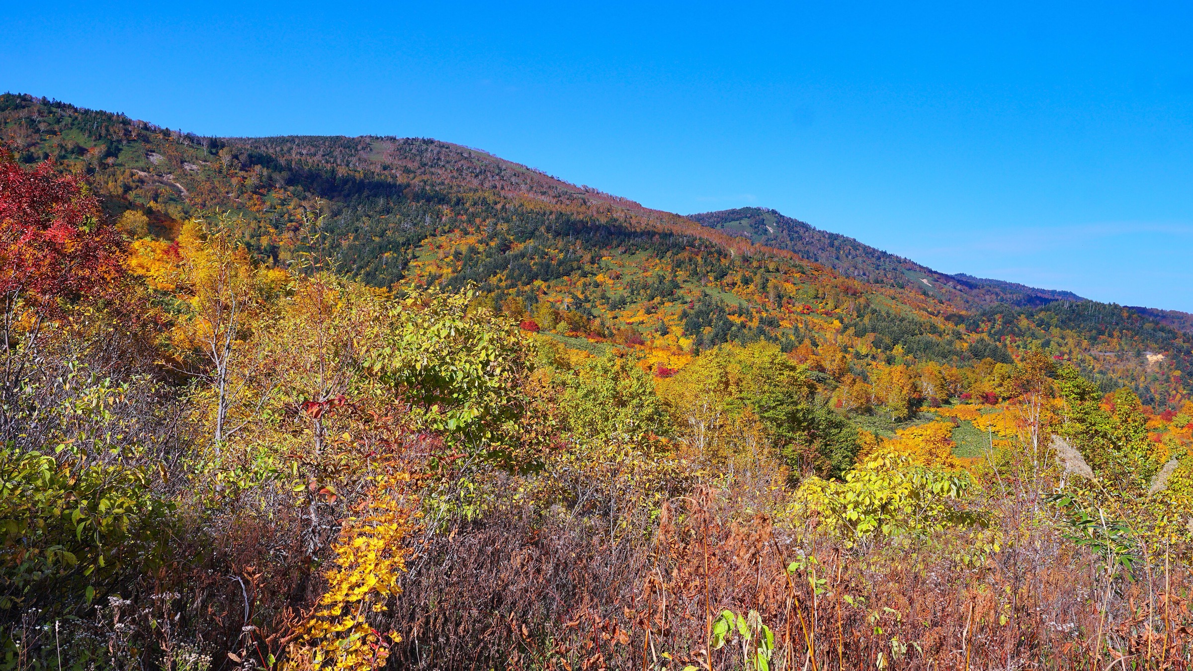
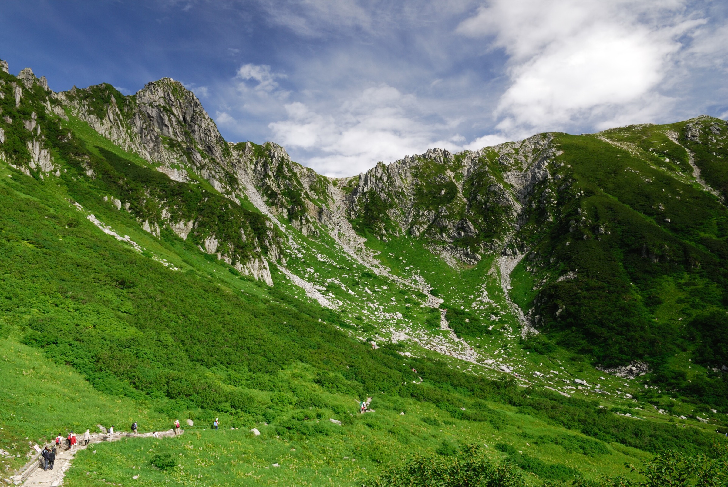
3. Mount Kiso-Komagatake from Senjojiki Cirque
Snapshot
Itinerary
From Senjojiki Station, the route climbs out of the glacial cirque toward the ridge near Hoken Sanso, then continues over the high saddle and rounded summit slopes to Mount Kiso-Komagatake. The return retraces the ridge and descends back into Senjojiki Cirque.
Why it is essential
This is the signature Central Alps day hike: a dramatic cirque, quick ropeway access to alpine height, a near-3,000-metre summit, and wide views across the Southern and Northern Alps.
Equipment
- Mountain hiking equipment: boots
- Warm and waterproof layers
- Gloves/hat outside midsummer
- Sun protection
- Water and food
- Map/GPS and navigation backup
- Snow equipment is required when the cirque still holds snow
Hazards and notes
- The first climb out of Senjojiki is steep and can be icy, crowded, or exposed to falling rock/snow.
- Weather changes quickly, and the ropeway queues and last descent time matter.
GPX / KML links
| Source | URL | Format / access | Reuse status |
|---|---|---|---|
| Go Nagano: Kiso-Komagatake and Senjojiki Cirque | db.go-nagano.net | Official regional tourism route page | Website terms not fully checked; GPX not found |
| JNTO hiking course page | japan.travel | Official tourism route context | Website terms not fully checked; GPX not found |
| AllTrails: Mount Kiso-Komagatake - Senjojiki Cirque | alltrails.com | Source route page / app track | AllTrails terms apply; route-file reuse not confirmed |
External links
- Go Nagano — Kiso-Komagatake and Senjojiki Cirque
- JNTO — Mt. Kiso-Komagatake / Senjojiki Cirque hiking course
- JNTO — Senjojiki Cirque
- AllTrails — Mount Kiso-Komagatake / Senjojiki Cirque
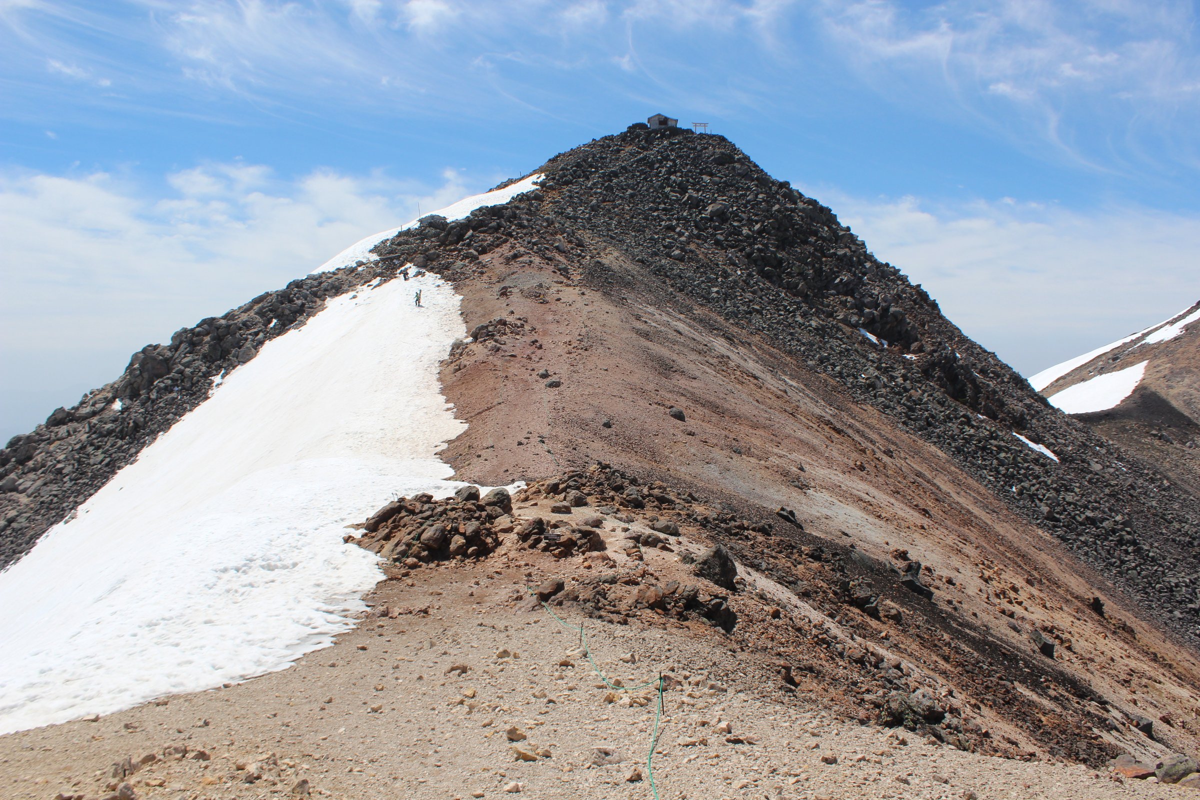
4. Mount Norikura - Tatamidaira to Kengamine
Snapshot
Itinerary
From Tatamidaira, the route follows the high volcanic trail past Tsurugaike and toward Katanokoya before climbing to Kengamine, the highest point of Mount Norikura. The return follows the same line. Short side walks to nearby minor summits or ponds can be added only if time and weather allow.
Why it is essential
Norikura is one of the most accessible 3,000-metre-class summit walks in Japan. The route demonstrates the Japanese Alps’ bus-access alpine style: short distance, high elevation, volcanic terrain, and a real summit.
Equipment
- Mountain hiking equipment despite the short distance: boots or sturdy hiking shoes
- Windproof/waterproof layer and warm layer
- Hat/gloves
- Water and sun protection
- Map/GPS
- Microspikes may be needed outside snow-free summer conditions
Hazards and notes
- High altitude, wind, cold, and sudden weather are the main issues.
- Do not underestimate the route because of bus access.
- Confirm bus schedules, road opening dates, and the current status of the Tatamidaira area.
GPX / KML links
| Source | URL | Format / access | Reuse status |
|---|---|---|---|
| Norikura Tourism official hiking route guide | norikura.gr.jp | Official route guide | Website terms not fully checked; GPX not found |
| MLIT / Japan Tourism Agency, Mt. Norikura PDF | mlit.go.jp | Official contextual PDF | Government PDF terms not fully checked; no GPX |
External links
- Norikura Tourism — official hiking route guide
- MLIT / Japan Tourism Agency — Mt. Norikura (PDF)
- MLIT / Japan Tourism Agency — Norikura Echo Line (PDF)
5. Mount Kita-dake from Hirogawara
Snapshot
Itinerary
The currently conservative route should start from Hirogawara and use open official trail options via Shirane-Oike and Kusasuberi toward Kata-no-Koya / the shoulder area before the final ridge to Kita-dake. The summit is Japan’s second-highest mountain. The descent returns by the same open route unless a current official source confirms a safe alternative. The older Okanbasawa / Futamata route has had closure issues and must not be assumed open.
Why it is essential
Kita-dake is the highest peak in the Southern Alps and Japan’s second-highest mountain. It is included as the region’s strenuous iconic summit day hike, with the explicit caveat that many hikers split it over two days at mountain huts.
Equipment
- Full mountain hiking equipment: sturdy boots and trekking poles
- Warm and waterproof layers
- Gloves/hat
- Headtorch and navigation backup
- Ample water/food and emergency layer
- Cash/reservation details for huts if using them
- Snow equipment may be required outside full summer conditions
Hazards and notes
- This hike is near the upper limit of a day-hike catalogue.
- Route closures, bus times, hut availability, altitude, exhaustion, thunderstorms, and snowfields are serious constraints.
- A two-day ascent is often the safer and more realistic plan.
- Current official closure notices must be checked before publication or departure.
GPX / KML links
| Source | URL | Format / access | Reuse status |
|---|---|---|---|
| Kita-dake Kata-no-Koya access and route note | katanokoya.com | Local official hut/access route note | Website terms not fully checked; GPX not found |
| Yamanashi route grading PDF | yamanashi-kankou.jp | Official route-grading/stat source | Government PDF terms not fully checked; not a GPX |
| The Japan Alps: Mt. Kita-dake | thejapanalps.com | Route guide/source page | Website terms not fully checked; GPX not found |
| AllTrails: Mount Kitadake - Hirogawara | alltrails.com | Source route page / app track | AllTrails terms apply; route-file reuse not confirmed |
External links
- Kita-dake Kata-no-Koya — official access / route note
- Yamanashi — route grading PDF
- The Japan Alps — Mt. Kita-dake
- AllTrails — Mount Kitadake from Hirogawara
- Japan Guide blog — Kita-dake context
External links
| Source | URL |
|---|---|
| Kamikochi — official trekking page | kamikochi.org |
| Kamikochi — Yakedake trail closure notice (PDF) | kamikochi.org |
| Tateyama Kurobe Alpine Route — official site | tateyama-kurobe.com |
| Tateyama Kurobe Alpine Route — FAQ | tateyama-kurobe.com |
| JNTO — Murodo | japan.travel |
| JNTO — Senjojiki Cirque | japan.travel |
| JNTO — Mt. Kiso-Komagatake / Senjojiki Cirque hiking course | japan.travel |
| Japan Guide — Murodo | japan-guide.com |
| Japan Guide blog — Kita-dake context | japan-guide.com |
| Kanpai Japan — Murodo | kanpai-japan.com |
| Go Nagano — Kiso-Komagatake and Senjojiki Cirque | db.go-nagano.net |
| Norikura Tourism Association | norikura.gr.jp |
| Norikura Tourism — official route guide | norikura.gr.jp |
| MLIT / Japan Tourism Agency — Mt. Norikura (PDF) | mlit.go.jp |
| MLIT / Japan Tourism Agency — Norikura Echo Line (PDF) | mlit.go.jp |
| Kita-dake Kata-no-Koya — official access | katanokoya.com |
| Yamanashi — route grading PDF | yamanashi-kankou.jp |
| The Japan Alps — route guide | thejapanalps.com |
| The Japan Alps — Mt. Kita-dake | thejapanalps.com |
| AllTrails — Mount Yakedake from Kamikochi | alltrails.com |
| AllTrails — Kamikochi to Mount Yakedake | alltrails.com |
| AllTrails — Mount Kiso-Komagatake / Senjojiki Cirque | alltrails.com |
| AllTrails — Mount Kitadake from Hirogawara | alltrails.com |