Regional overview
Hokkaido’s mountain walking is broad, volcanic, and weather-exposed. The island’s essential day hikes range from the high alpine plateau of Daisetsuzan, through Shiretoko’s bear-inhabited wilderness, to the active volcanoes and isolated cones of Shikotsu-Toya and Niseko. Summer is short at altitude, snow can linger well into the hiking season, and weather changes quickly even on routes made accessible by ropeways.
The main hiking centres for this selection are Asahidake Onsen and Sounkyo in Daisetsuzan National Park, Shiretoko’s Iwaobetsu area, Lake Shikotsu / Tomakomai for Mount Tarumae, and Niseko / Kutchan / Makkari for Mount Yotei. Public transport exists to some trailheads, but practical day-hiking often depends on ropeways, seasonal buses, taxis, or a car.
The normal hiking season is roughly June to October, with July to September most reliable for high routes. Early season snowfields, autumn cold, volcanic gas, strong wind, and brown-bear precautions are recurring issues. Some routes require portable toilet systems or strict protected-area behaviour.
Selection rationale
These five hikes represent Hokkaido’s essential mountain character: the island high point, a classic Daisetsuzan ropeway summit, an active crater-rim volcano, the Shiretoko high point, and the solitary Ezo-Fuji cone of Mount Yotei.
Summary table
| # | Hike | Country | Route type | Distance | Gain | Max elevation | Difficulty |
|---|---|---|---|---|---|---|---|
| 1 | Mount Asahidake from Sugatami Station | Japan | Lift-assisted out-and-back | 5.8 km | 674 m | 2,291 m | Hard |
| 2 | Mount Kurodake from 7th Station | Japan | Lift-assisted out-and-back | 3.5 km | 428 m | 1,984 m | Moderate-hard |
| 3 | Mount Tarumae Crater Loop | Japan | Loop | 7.4 km | 604 m | ca. 1,041 m | Hard |
| 4 | Mount Rausu - Iwaobetsu Course | Japan | Out-and-back | 13.8-14.3 km | 1,397-1,420 m | 1,661 m | Hard |
| 5 | Mount Yotei - Makkari / Nature Park Route | Japan | Out-and-back | 13.0-15.0 km depending route | 1,550-1,670 m | 1,898 m | Hard |
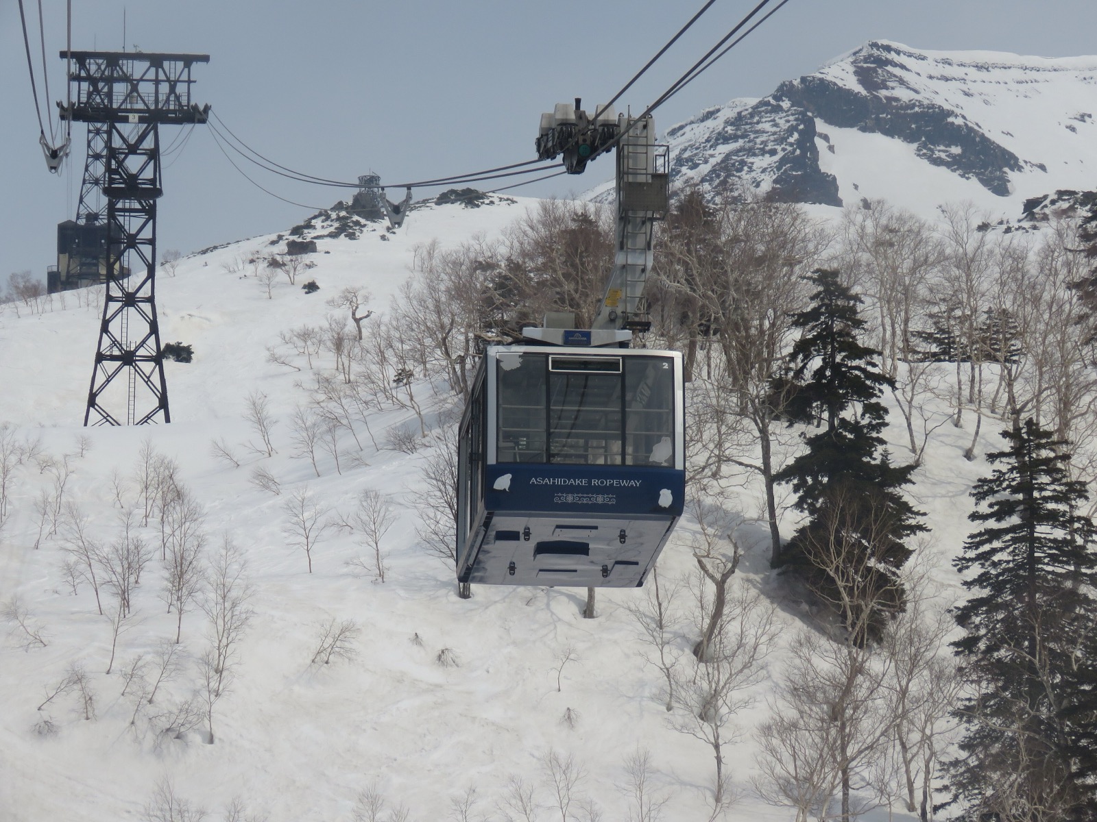
1. Mount Asahidake from Sugatami Station
Snapshot
Itinerary
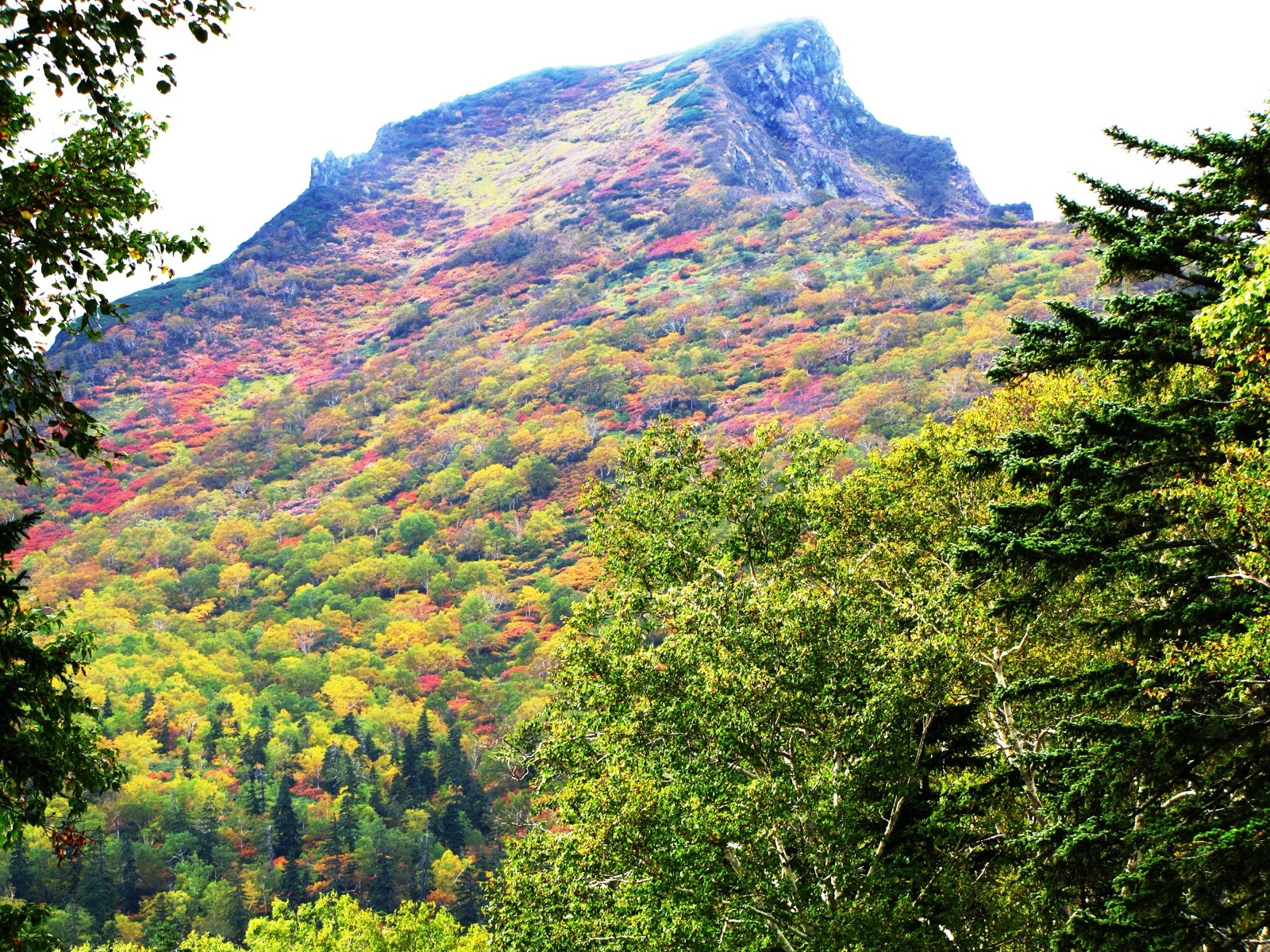
The route begins at the upper Asahidake Ropeway station and crosses the fumarole-and-pond zone around Sugatami. The summit trail leaves the boardwalk circuit and climbs steadily over open volcanic scree and alpine ground to the broad summit of Asahidake, Hokkaido’s highest mountain. The descent returns by the same exposed line to Sugatami Station.
Why it is essential
Asahidake is the high point of Hokkaido and the most direct day-hike introduction to Daisetsuzan’s volcanic alpine landscape: fumaroles, ponds, broad views, early autumn colour, and a treeless high summit.
Equipment
- Mountain hiking equipment: sturdy boots
- Warm and waterproof layers
- Hat/gloves outside warm settled weather
- Water and food
- Map/GPS and navigation backup
- Trekking poles
- Microspikes may be needed if snow remains on the upper slope
Hazards and notes
- The climb is short but exposed to wind, cold, whiteout, and volcanic terrain.
- Stay clear of fumaroles and closed areas.
- The ropeway can stop for weather, and descending on foot after a missed last ropeway would materially change the day.
GPX / KML links
| Source | URL | Format / access | Reuse status |
|---|---|---|---|
| AllTrails: Mount Asahidake | alltrails.com | Source route page / app track | AllTrails terms apply; route-file reuse not confirmed |
| Hokkaido official tourism: Sugatami Pond | visit-hokkaido.jp | Official access/route context | Website terms not fully checked; GPX not found |
| JNTO hiking report: Mt. Asahi | japan.travel | Official hiking context | Website terms not fully checked; GPX not found |
External links
- Hokkaido official tourism — Sugatami Pond
- JNTO — Mt. Asahi hiking report
- AllTrails — Mount Asahidake
2. Mount Kurodake from 7th Station
Snapshot
Itinerary
From Sounkyo, the ropeway and chairlift reach the 7th Station on Mount Kurodake. The footpath climbs steeply through upper forest and scrub, then breaks into open alpine terrain before the summit. The summit gives a direct view into the Daisetsuzan interior and can be extended by experienced walkers toward the plateau, but the essential day-hike here is the summit out-and-back.
Why it is essential
Kurodake is one of the easiest ways to stand on a major Daisetsuzan summit and look into the park’s central high country. It complements Asahidake by approaching the massif from the Sounkyo side.
Equipment
- Mountain hiking equipment: boots
- Waterproof and warm layers
- Gloves/hat in shoulder season
- Water and snacks
- Map/GPS
- Trekking poles
- Carry enough clothing for ropeway delays or sudden weather changes
Hazards and notes
- The short route is steep and can be muddy or icy.
- The upper mountain is exposed, and the descent requires care.
- Extensions beyond Kurodake enter much more remote terrain and should not be treated as a casual add-on.
GPX / KML links
| Source | URL | Format / access | Reuse status |
|---|---|---|---|
| AllTrails: Mount Kurodake | alltrails.com | Source route page / app track | AllTrails terms apply; route-file reuse not confirmed |
| Japan Guide: Mount Kurodake | japan-guide.com | Guide/source page | Website terms not fully checked; no GPX |
| Daisetsuzan Sounkyo Kurodake Ropeway | rinyu.co.jp | Official ropeway/access site | Website terms not fully checked; GPX not found |
External links
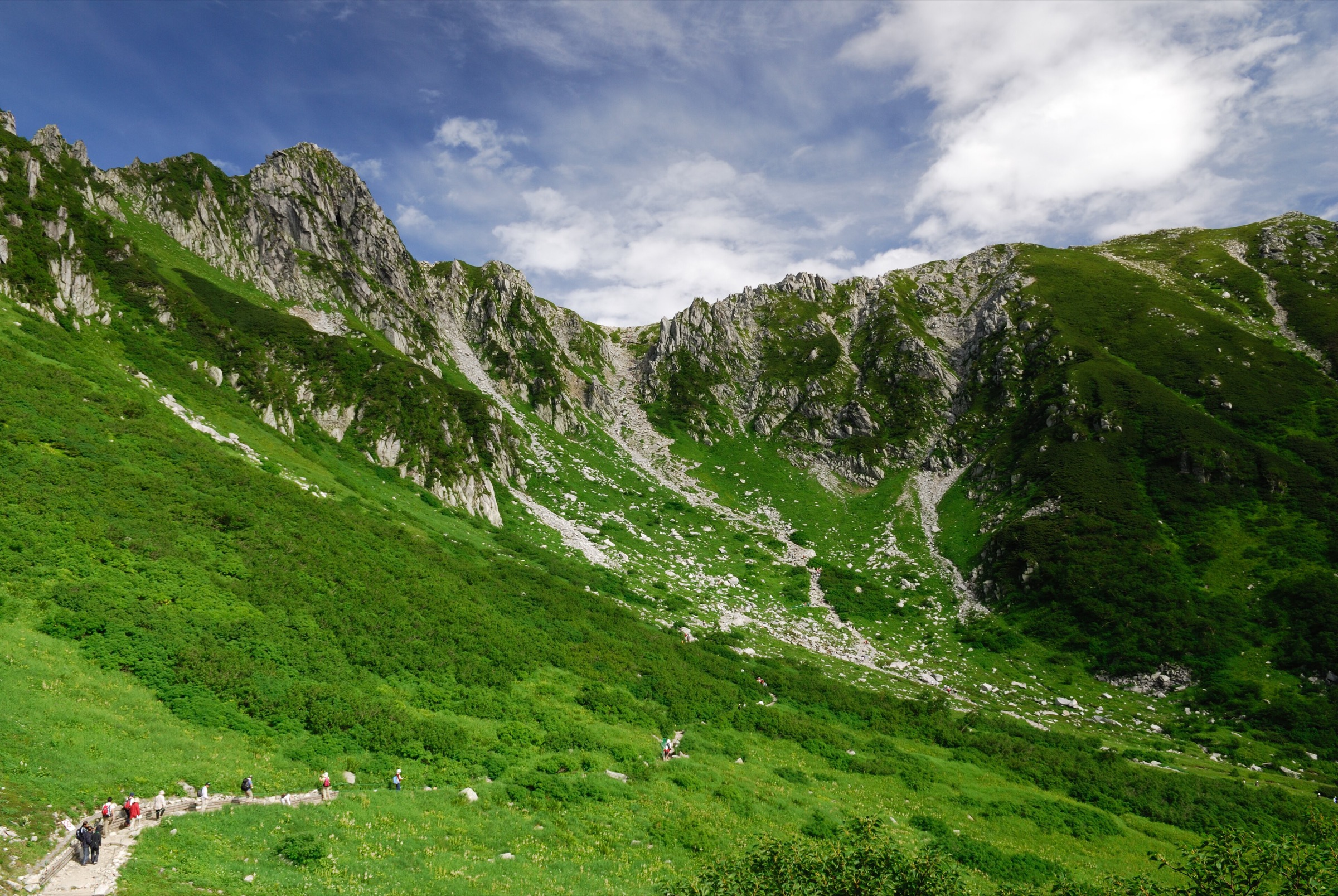
3. Mount Tarumae Crater Loop
Snapshot
Itinerary
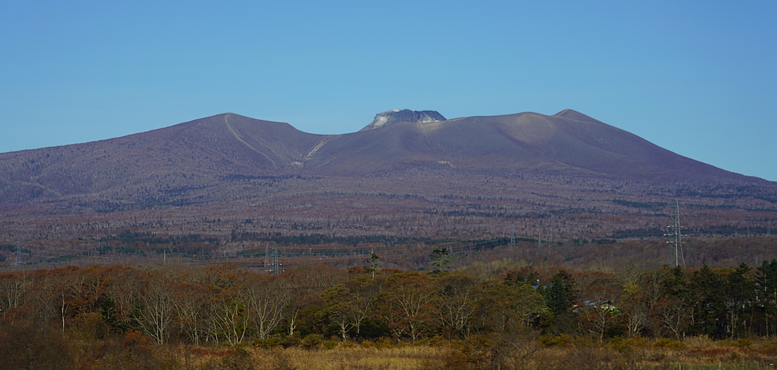
The hike starts from the 7th Station Hut and climbs quickly toward the crater rim of Mount Tarumae. The circuit follows the open volcanic rim around the lava dome area, with views across Lake Shikotsu and neighbouring volcanic peaks. The route returns to the hut by the same access side after completing the crater circuit.
Why it is essential
Tarumae is one of Hokkaido’s best compact volcano hikes: short access, a live volcanic crater landscape, a distinctive lava dome, and major views over Lake Shikotsu.
Equipment
- Mountain hiking equipment: boots with good grip
- Windproof/waterproof layer and warm layer
- Sun protection
- Water and food
- Navigation backup
- Trekking poles are useful on loose volcanic ground
Hazards and notes
- This is active volcanic terrain.
- Check official volcanic warnings, gas conditions, access-road status, and local closures.
- High wind, poor visibility, and loose ash or gravel are common issues.
GPX / KML links
| Source | URL | Format / access | Reuse status |
|---|---|---|---|
| JNTO: Mt. Tarumae | japan.travel | Official route/access context | Website terms not fully checked; GPX not found |
| AllTrails: Mount Tarumae | alltrails.com | Source route page / app track | AllTrails terms apply; route-file reuse not confirmed |
External links
4. Mount Rausu - Iwaobetsu Course
Snapshot
Itinerary
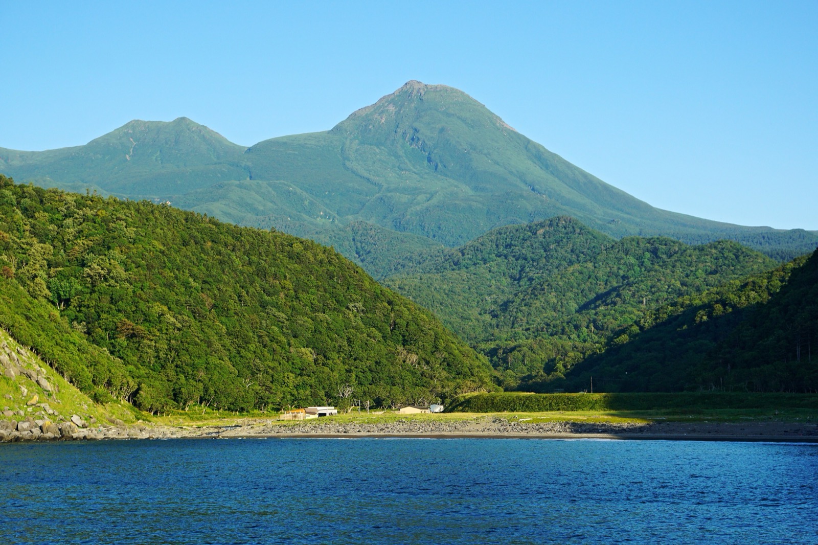
The Iwaobetsu Course climbs from the Kinoshita Hut area through deep forest, passing points such as Okhotsk View, Yasakichi Water, Ginreisui, Osawa, Rausudaira, and Iwashimizu before the final summit climb. The upper route gives views across the Shiretoko Peninsula and toward the Sea of Okhotsk in clear weather. The descent returns by the same line.
Why it is essential
Mount Rausu is Shiretoko’s highest peak and the most important day-hike summit in the peninsula’s wild mountain core. It brings Hokkaido’s bear-country, snowfield, alpine-flower, and sea-to-mountain character into one demanding route.
Equipment
- Mountain hiking equipment with sturdy boots
- Waterproof and warm layers
- Trekking poles
- Navigation backup and headtorch
- Bear bell or other locally recommended bear precautions
- Food, water treatment if using water sources
- Portable toilet kit where required
- Microspikes/crampons and an ice axe may be needed for lingering snowfields depending season
Hazards and notes
- This is serious bear habitat. Follow Shiretoko guidance on food, noise, group spacing, and encounters.
- Snowfields in Osawa can require traction and an ice axe; walking off the snowfield onto vegetation can damage protected plants.
- Toilet facilities are limited, and portable toilet etiquette is important.
GPX / KML links
| Source | URL | Format / access | Reuse status |
|---|---|---|---|
| Shiretoko Rausu Visitor Center: Iwaobetsu Course | policies.env.go.jp | Official route page | Website terms not fully checked; GPX not found |
| AllTrails: Mount Rausu Iwaobetsu Course | alltrails.com | Source route page / app track | AllTrails terms apply; route-file reuse not confirmed |
External links
- Shiretoko Rausu Visitor Center — Iwaobetsu Course
- MLIT / Japan Tourism Agency — Hiking Mt. Rausu (PDF)
- AllTrails — Mount Rausu Iwaobetsu Course
5. Mount Yotei - Makkari / Nature Park Route
Snapshot
Itinerary
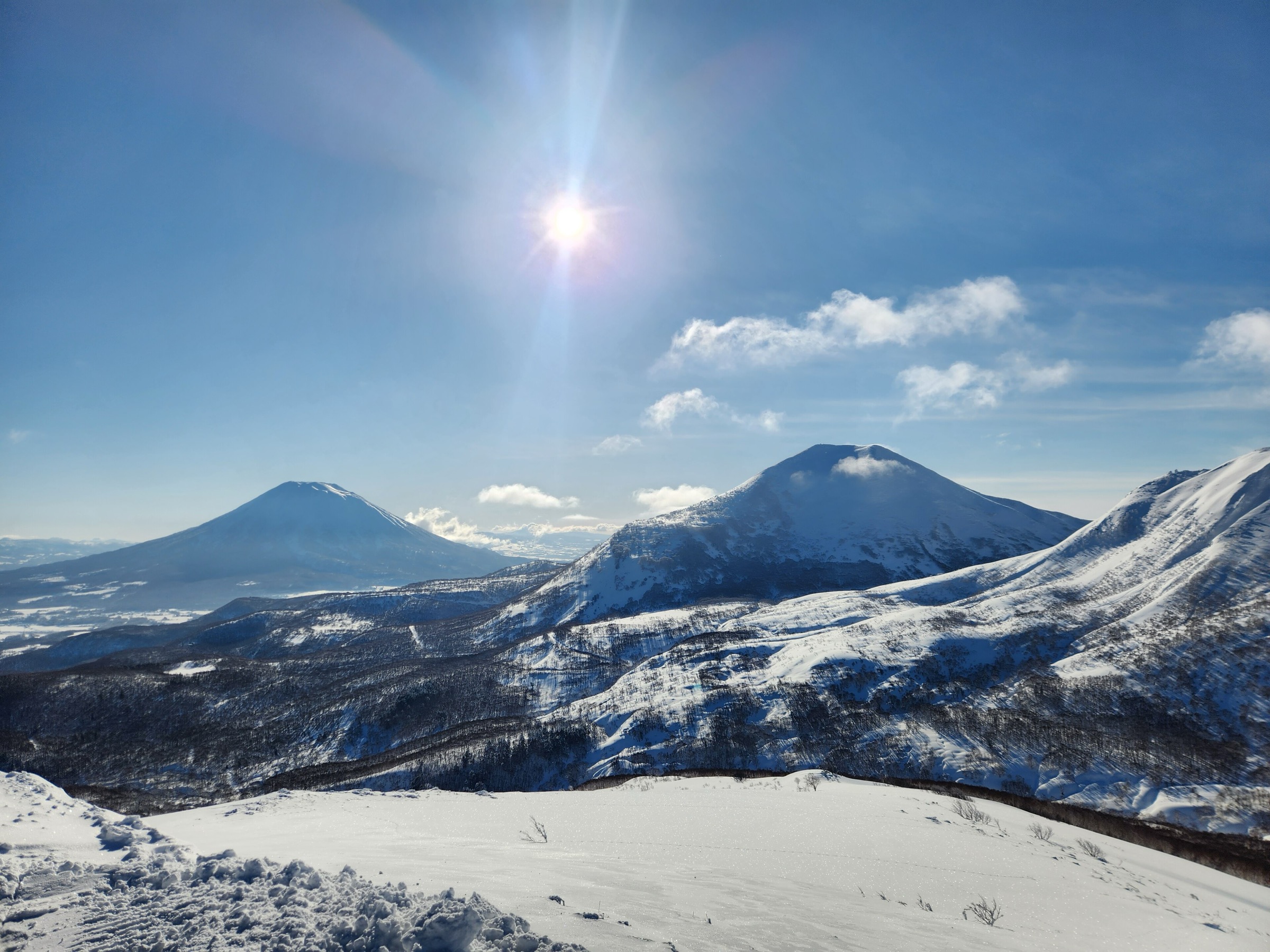
The selected day-hike uses one of the standard Mount Yotei ascent routes, preferably the Makkari / Yotei Nature Park side for a direct out-and-back. The trail climbs steadily through forest by numbered stations, emerges toward the crater rim, and continues to the summit high point at 1,898 m. A crater-rim circuit can be added only if time, weather, and footing allow. The descent returns by the same route.
Why it is essential
Mount Yotei is Hokkaido’s iconic isolated cone, often called Ezo Fuji. Its long continuous ascent, crater rim, and broad views over Niseko and Lake Toya country make it a defining strenuous day hike.
Equipment
- Mountain hiking equipment: sturdy boots and trekking poles
- Waterproof and warm layers
- Hat/gloves
- Navigation backup and headtorch
- Ample water and food
- Carry traction if snow remains and avoid winter conditions without backcountry mountaineering skills
Hazards and notes
- The route has a large elevation gain, limited water, fast weather changes, and a long descent.
- Start early and check local trailhead conditions.
- The crater rim can be windy and cloud-covered; do not add rim wandering if visibility is poor.
GPX / KML links
| Source | URL | Format / access | Reuse status |
|---|---|---|---|
| JNTO: Mt. Yotei hiking course | japan.travel | Official hiking course page | Website terms not fully checked; GPX not found |
| Kutchan Town Mt. Yotei Q&A | town.kutchan.hokkaido.jp | Official local guidance | Website terms not fully checked; GPX not found |
| AllTrails: Mount Yotei Nature Park | alltrails.com | Source route page / app track | AllTrails terms apply; route-file reuse not confirmed |
| Niseko Town / Shikotsu-Toya Yotei map PDF | town.niseko.lg.jp | Official PDF map/source route | Terms not fully checked; no GPX |
External links
- JNTO — Mt. Yotei hiking course
- Kutchan Town — Mt. Yotei Q&A
- Niseko Town — Mt. Yotei map (PDF)
- AllTrails — Mount Yotei Nature Park
External links
| Source | URL |
|---|---|
| Hokkaido official tourism | visit-hokkaido.jp |
| JNTO — Mt. Asahi hiking report | japan.travel |
| JNTO — Mt. Tarumae | japan.travel |
| JNTO — Mt. Yotei hiking course | japan.travel |
| Hokkaido official tourism — Sugatami Pond | visit-hokkaido.jp |
| Japan Guide — Mount Kurodake | japan-guide.com |
| Daisetsuzan Sounkyo Kurodake Ropeway | rinyu.co.jp |
| Shiretoko Rausu Visitor Center | policies.env.go.jp |
| Shiretoko Rausu Visitor Center — Iwaobetsu Course | policies.env.go.jp |
| MLIT / Japan Tourism Agency — Hiking Mt. Rausu (PDF) | mlit.go.jp |
| Kutchan Town — Mount Yotei information | town.kutchan.hokkaido.jp |
| Kutchan Town — Mt. Yotei Q&A | town.kutchan.hokkaido.jp |
| Niseko Town — Mt. Yotei map (PDF) | town.niseko.lg.jp |
| AllTrails — Mount Asahidake | alltrails.com |
| AllTrails — Mount Kurodake | alltrails.com |
| AllTrails — Mount Tarumae | alltrails.com |
| AllTrails — Mount Rausu Iwaobetsu Course | alltrails.com |
| AllTrails — Mount Yotei Nature Park | alltrails.com |