Regional overview
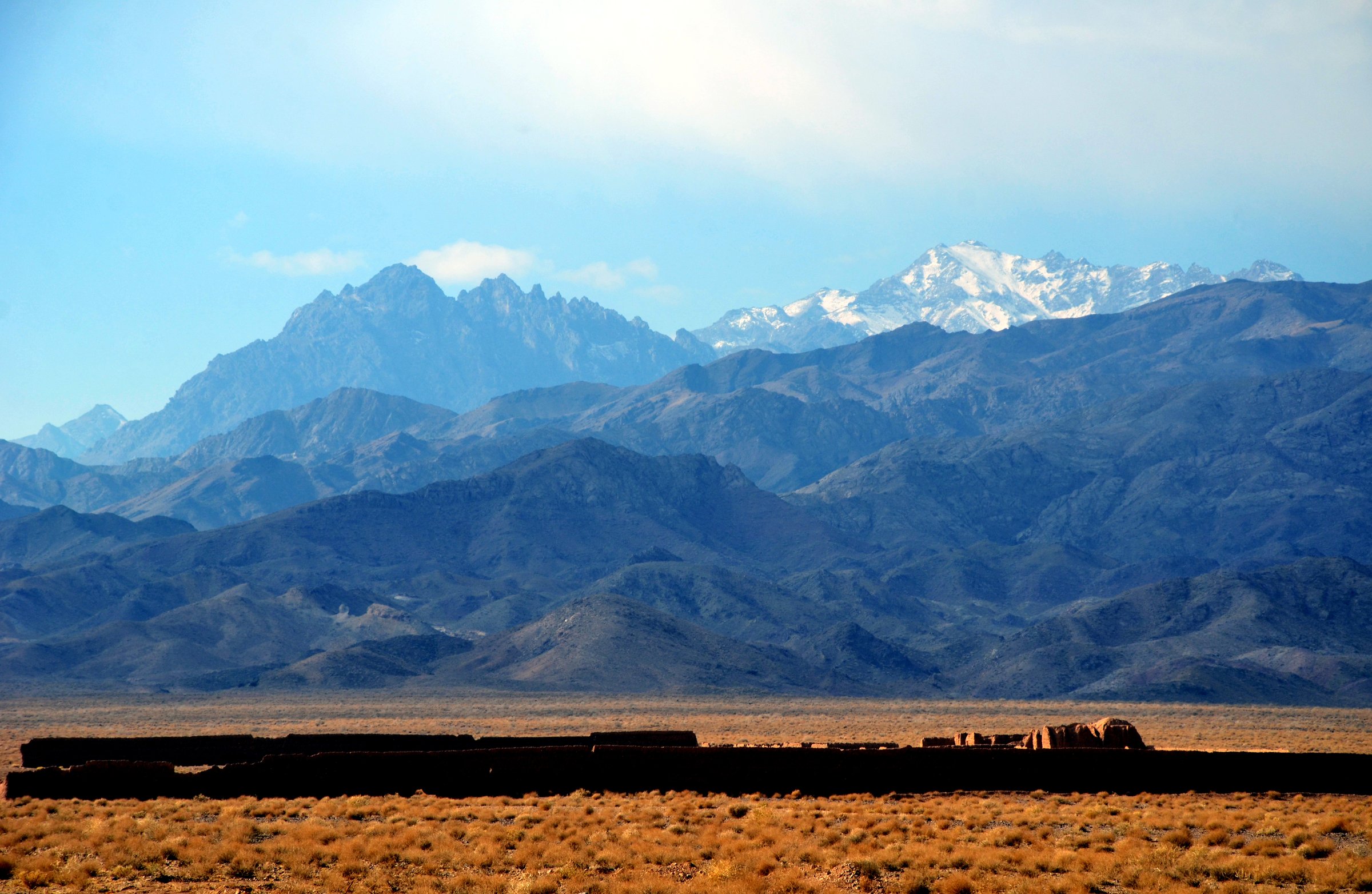
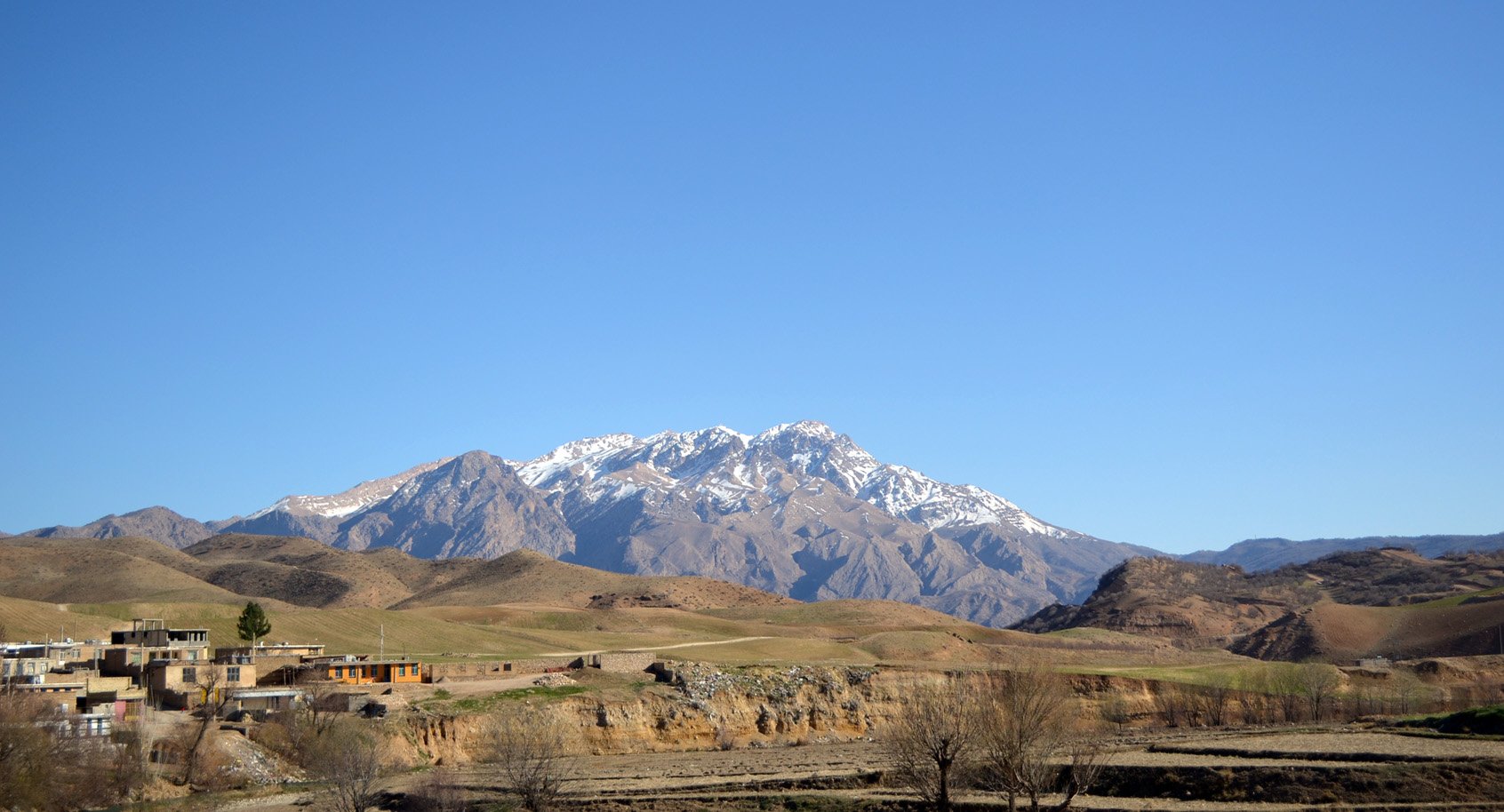
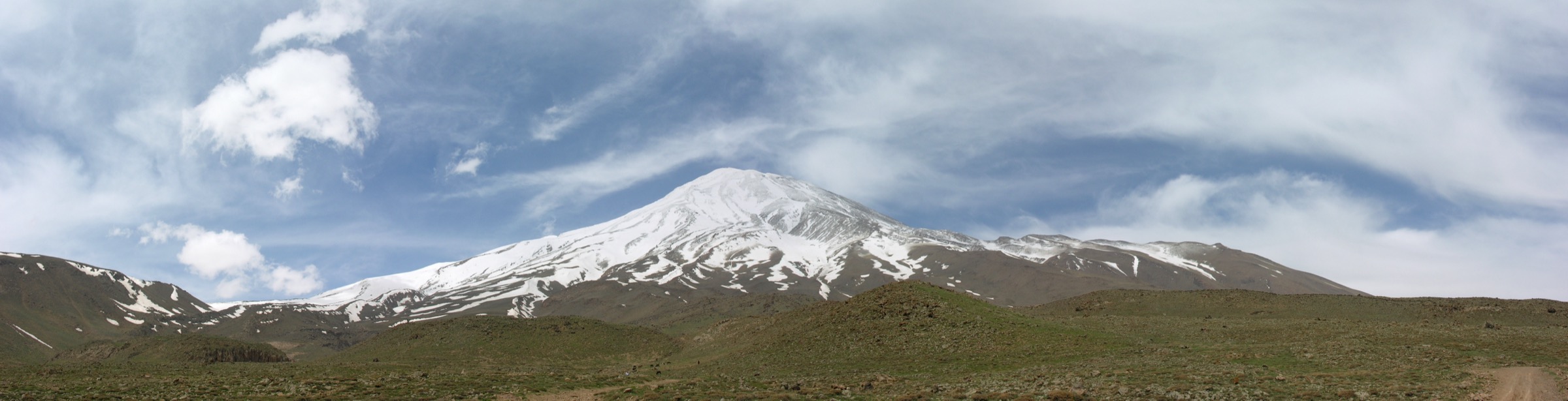
The Alborz is the high mountain wall between the Iranian plateau and the Caspian Sea. For day hiking, the best documented and most accessible part of the range is the southern flank above Tehran: Darband, Darakeh, Velenjak, Kolakchal and Darabad give direct access to steep ridges, stream valleys, shelters and high viewpoints. Farther east, Damavand is the symbolic giant of the range, but the summit is normally a high-altitude mountaineering ascent rather than a normal day hike.
Terrain is dry, rocky and steep on the Tehran side, with shaded stream gullies in lower valleys and exposed alpine ridges above. Snow can transform the routes into winter mountaineering objectives, and summer heat can be severe in the lower starts. Access is excellent by city standards for the Tehran routes, but mountain weather changes quickly and rescue logistics can still be serious.
The normal non-winter hiking season is spring to autumn. Winter and early spring require snow and avalanche judgement on the upper routes. The Damavand section included here is a base-camp approach rather than a summit hike; the summit itself should be treated as a separate acclimatised mountaineering objective.
Selection rationale
The selection balances the classic Tehran day-hike network with one Damavand day section: Tochal summit, Darakeh / Palangchal, Kolakchal, Darabad and the Damavand south approach to Bargah Sevom. Alam-Kuh and full Damavand summit routes were excluded as normal day hikes because they are usually multi-day, high-altitude or more technical.
Summary table
| # | Hike | Country | Route type | Distance | Gain | Max elevation | Difficulty |
|---|---|---|---|---|---|---|---|
| 1 | Mount Tochal Summit from Tehran | Iran | Out-and-back | 14.2 km | 1,938 m | 3,949 m | Hard |
| 2 | Darakeh Trail to Palangchal area | Iran | Out-and-back | 17.2 km | 1,248 m | 2,968 m | Hard |
| 3 | Kolak Chal | Iran | Out-and-back | 14.2 km | 1,442 m | 3,325 m | Hard |
| 4 | Darabad via Mohebbi | Iran | Loop | 16.1 km | 1,464 m | 3,173 m | Hard |
| 5 | Damavand south route to Bargah Sevom | Iran | Out-and-back | ca. 9-10 km | ca. 1,150-1,250 m | 4,220 m | Hard / high altitude |
1. Mount Tochal Summit from Tehran

Snapshot
Itinerary
The route climbs from Tehran’s northern mountain edge toward the main Tochal ridge. Lower sections use busy mountain paths and stream-valley terrain before the route steepens through rocky, increasingly exposed ground. The upper mountain is dry, open and high, with broad views over Tehran and the central Alborz. Descent returns by the same route unless using a lift-assisted variant.
Why it is essential
Tochal is Tehran’s classic high summit and one of the most direct big-mountain day hikes from a major city anywhere in the region. It gives the clearest introduction to the southern Alborz: steep relief, shelters, dry ridges and city-to-summit scale.
Equipment
Mountain hiking equipment: sturdy boots, warm layer, windproof/waterproof layer, sun protection, water, food, map/GPS, navigation backup and headtorch. In snow season, winter mountain equipment and avalanche judgement are needed.
Hazards and notes
The elevation gain is large, altitude is significant and the upper route is exposed to wind, cold, lightning and snow. Dogs are flagged as not allowed by AllTrails. Confirm lift operations if planning a lift-assisted descent.
GPX / KML links
| Source | URL | Format / access | Reuse status |
|---|---|---|---|
| AllTrails — Mount Tochal Summit | alltrails.com | Source route page / app track | AllTrails terms apply; route-file reuse not confirmed |
| SummitPost — Tochal overview | summitpost.org | Route/context page | Site terms not checked; secondary route context |
External links
2. Darakeh Trail to Palangchal area

Snapshot
Itinerary
The trail starts in Darakeh and follows the Darakeh River valley through a popular lower corridor of teahouses and trees. Above the settled lower section, the path becomes steeper and more rugged, climbing toward the Palangchal shelter area and higher viewpoints before returning by the same route.
Why it is essential
Darakeh is one of Tehran’s classic mountain gateways. It offers a less summit-focused but highly representative Alborz day: river valley, local mountain culture, shelter objective and big elevation gain.
Equipment
Mountain hiking equipment: boots, rain/wind layer, warm layer outside summer, water, food, map/GPS and headtorch. Trekking poles are useful for descent.
Hazards and notes
The lower valley can be busy, while the upper route becomes a real mountain day. Snow, icy river crossings, rockfall in gullies and afternoon weather are possible. Water availability should not be assumed above lower developed sections.
GPX / KML links
| Source | URL | Format / access | Reuse status |
|---|---|---|---|
| AllTrails — Darakeh Trail | alltrails.com | Source route page / app track | AllTrails terms apply; route-file reuse not confirmed |
| OpenStreetMap search | openstreetmap.org | Map data / search | OSM data is ODbL; geometry cross-check target |
External links
3. Kolak Chal

Snapshot
Itinerary
The Kolak Chal route climbs quickly from Tehran’s northern foothills through lower scrub and rocky paths. It passes shelter/upper-mountain terrain before reaching the high Kolak Chal objective, with views across Tehran and toward the main Tochal ridge. Descent returns by the same route.
Why it is essential
Kolak Chal is one of the major Tehran ridge objectives and a natural counterpart to Tochal, giving a strenuous but slightly lower high-ridge day on the same southern Alborz front.
Equipment
Mountain hiking equipment: boots, warm layer, windproof/waterproof layer, water, food, sun protection, map/GPS and headtorch. Winter conditions require snow/ice equipment and local avalanche knowledge.
Hazards and notes
The upper route is exposed and rocky. Heat, dehydration and winter snow/ice are the main seasonal risks. The exact start and route variant should be checked before using the statistics.
GPX / KML links
| Source | URL | Format / access | Reuse status |
|---|---|---|---|
| AllTrails — Kolak Chal | alltrails.com | Source route page / app track | AllTrails terms apply; route-file reuse not confirmed |
| OpenStreetMap search | openstreetmap.org | Map data / search | OSM data is ODbL; geometry cross-check target |
External links
4. Darabad via Mohebbi

Snapshot
Itinerary
The route climbs from Darabad along the Darabad River and then higher on rocky ridge-and-gorge terrain. It passes viewing areas and the historic radar-station area noted in the source description, then loops back toward the starting side of Darabad.
Why it is essential
Darabad gives the eastern Tehran gateway into the Alborz, with a stronger ridge-and-gorge character than Darakeh and a loop option rather than a simple out-and-back.
Equipment
Mountain hiking equipment: boots, warm layer, windproof/waterproof layer, water, food, sun protection, map/GPS and headtorch. Trekking poles are recommended for the descent.
Hazards and notes
Rocky paths, bridges, streamside sections and exposed ridges require care. Snow/ice and poor visibility can make navigation difficult. The loop should be downloaded or mapped in advance because route-finding errors can lengthen the day.
GPX / KML links
| Source | URL | Format / access | Reuse status |
|---|---|---|---|
| AllTrails — Darabad via Mohebbi | alltrails.com | Source route page / app track | AllTrails terms apply; route-file reuse not confirmed |
| OpenStreetMap search | openstreetmap.org | Map data / search | OSM data is ODbL; geometry cross-check target |
External links
5. Damavand south route to Bargah Sevom

Snapshot
Itinerary
This entry deliberately stops at Bargah Sevom rather than claiming Damavand as a normal day summit. From the south-side roadhead near Goosfand Sara, the route climbs the broad southern flank of Damavand toward the main shelter/camp area at about 4,220 m. The same route is used for descent. The full summit route continues much higher and should be treated as a separate acclimatised climb.
Why it is essential
Damavand is the symbolic and geographic landmark of the Alborz. The south-route approach to Bargah Sevom gives a feasible day-scale encounter with the mountain while respecting that the summit is not a standard day hike.
Equipment
Mountain hiking equipment for high altitude: sturdy boots, warm layer, windproof/waterproof shell, hat/gloves, sun protection, water, food, navigation backup and headtorch. Snow, ice or winter conditions require specialist equipment and judgement.
Hazards and notes
Altitude illness is possible even below the summit. Weather, sulfur/gas higher on the mountain, road access, permit/club arrangements and acclimatisation all matter. The route statistics are approximate for the base-camp section and must be remapped before publication.
GPX / KML links
| Source | URL | Format / access | Reuse status |
|---|---|---|---|
| AllTrails — Mount Damavand | alltrails.com | Full summit source route / app track | AllTrails terms apply; Bargah Sevom day section not separately verified |
| OpenStreetMap search | openstreetmap.org | Map data / search | OSM data is ODbL; geometry cross-check target |
External links
External links
| Source | URL |
|---|---|
| AllTrails — Mount Tochal Summit | alltrails.com |
| AllTrails — Darakeh Trail | alltrails.com |
| AllTrails — Kolak Chal | alltrails.com |
| AllTrails — Darabad via Mohebbi | alltrails.com |
| AllTrails — Mount Damavand | alltrails.com |
| Tochal official complex site | tochal.org |
| SummitPost — Tochal overview | summitpost.org |
| Wikipedia — Darakeh | en.wikipedia.org |
| Wikipedia — Tochal | en.wikipedia.org |
| Wikipedia — Darabad, Tehran | en.wikipedia.org |
| Wikipedia — Mount Damavand | en.wikipedia.org |