Regional overview
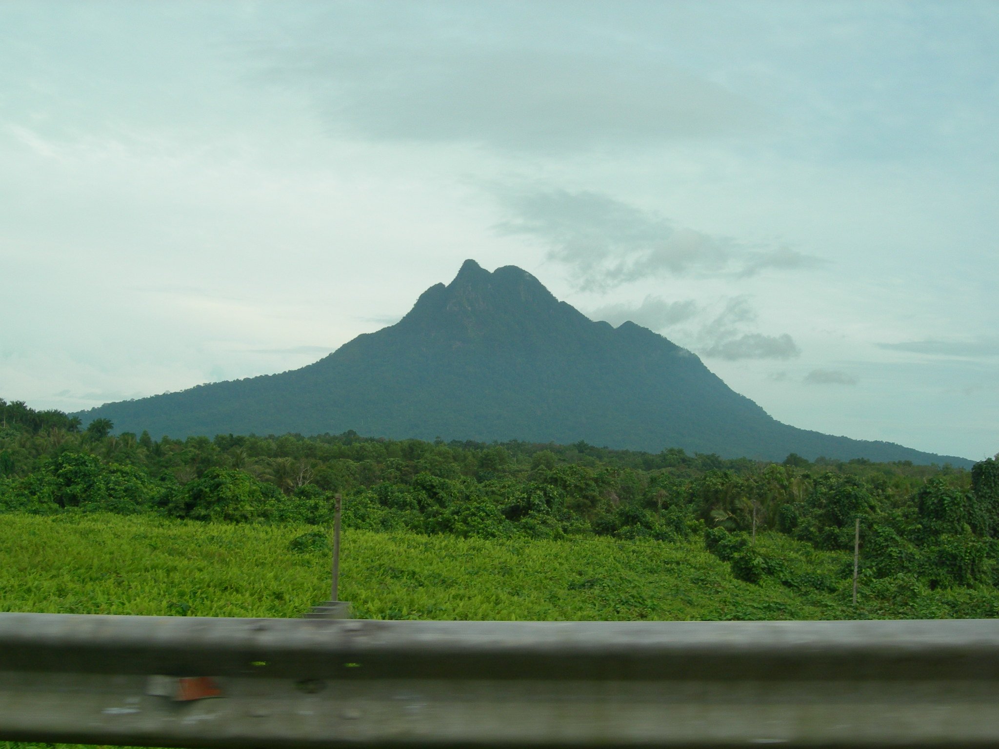
Sulawesi’s mountains are fragmented, volcanic and biologically distinctive. The most practical day-hiking clusters are the Minahasa highlands around Tomohon and Tondano in North Sulawesi, the Tangkoko volcanic-forest coast near Bitung, and the southern highlands around Gowa and the Lompobattang-Bawakaraeng massif. Higher interior ranges such as Latimojong are important but many classic routes are multi-day rather than normal day hikes.
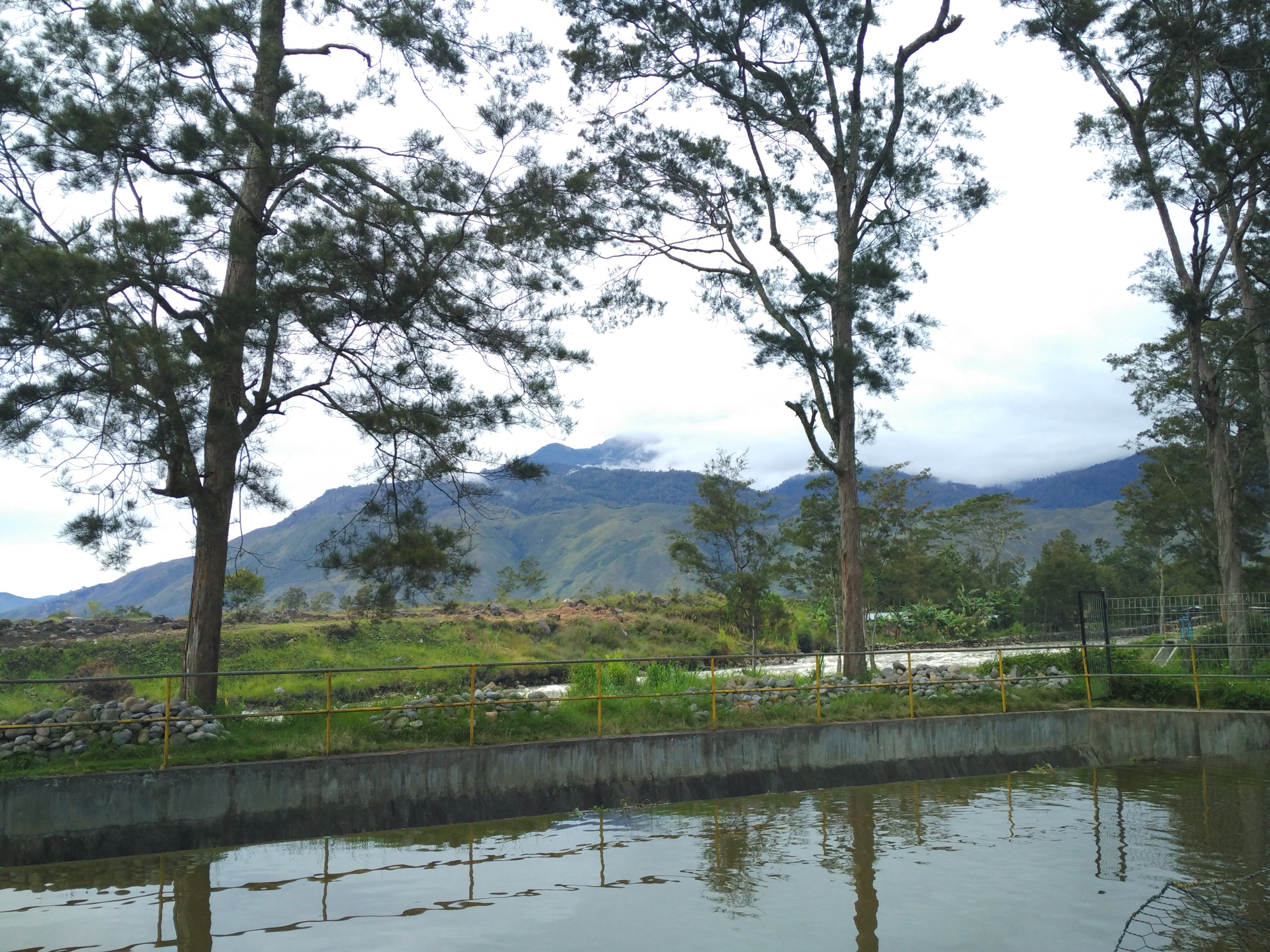
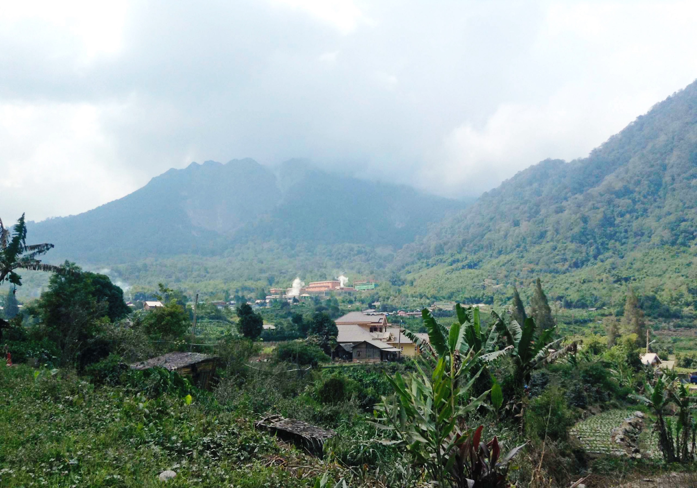
The hiking character ranges from short crater-rim volcano walks to hot, exposed ash-and-lava approaches, rainforest trails and long steep southern highland climbs. Access often depends on local drivers, guides and current volcanic-alert or conservation-area rules. Public transport can get close to some towns, but not reliably to trailheads for early starts.
The drier months are generally preferred, though local weather varies by arm of the island. Volcanic gas, official exclusion zones, slippery lava rock, heavy rain, leeches or mud in forest, heat at lower elevations and uncertain route marking are recurring safety issues.
Selection rationale
These five hikes balance North Sulawesi volcanoes, a southern highland summit route and a low-elevation volcanic-forest reserve. Mount Lokon and Mahawu represent Tomohon’s classic crater terrain; Soputan adds a more remote active cone; Lompobattang represents the southern massif; Batuangus/Tangkoko represents Sulawesi’s volcanic forest and wildlife landscape.
Summary table
| # | Hike | Country | Route type | Distance | Gain | Max elevation | Difficulty |
|---|---|---|---|---|---|---|---|
| 1 | Mount Lokon crater route | Indonesia | Out-and-back | 4.3 km | 349 m | 1,132 m | Hard |
| 2 | Mount Mahawu crater route | Indonesia | Out-and-back | 13.0 km | 620 m | 1,312 m | Moderate |
| 3 | Mount Soputan | Indonesia | Out-and-back | 16.6 km | 681 m | 1,358 m | Hard |
| 4 | Mount Lompobattang route | Indonesia | Out-and-back | 16.4 km | 1,402 m | 2,845 m | Hard |
| 5 | Mount Batuangus, Tangkoko Nature Reserve | Indonesia | Out-and-back | 3.7 km | 114 m | 168 m | Moderate |
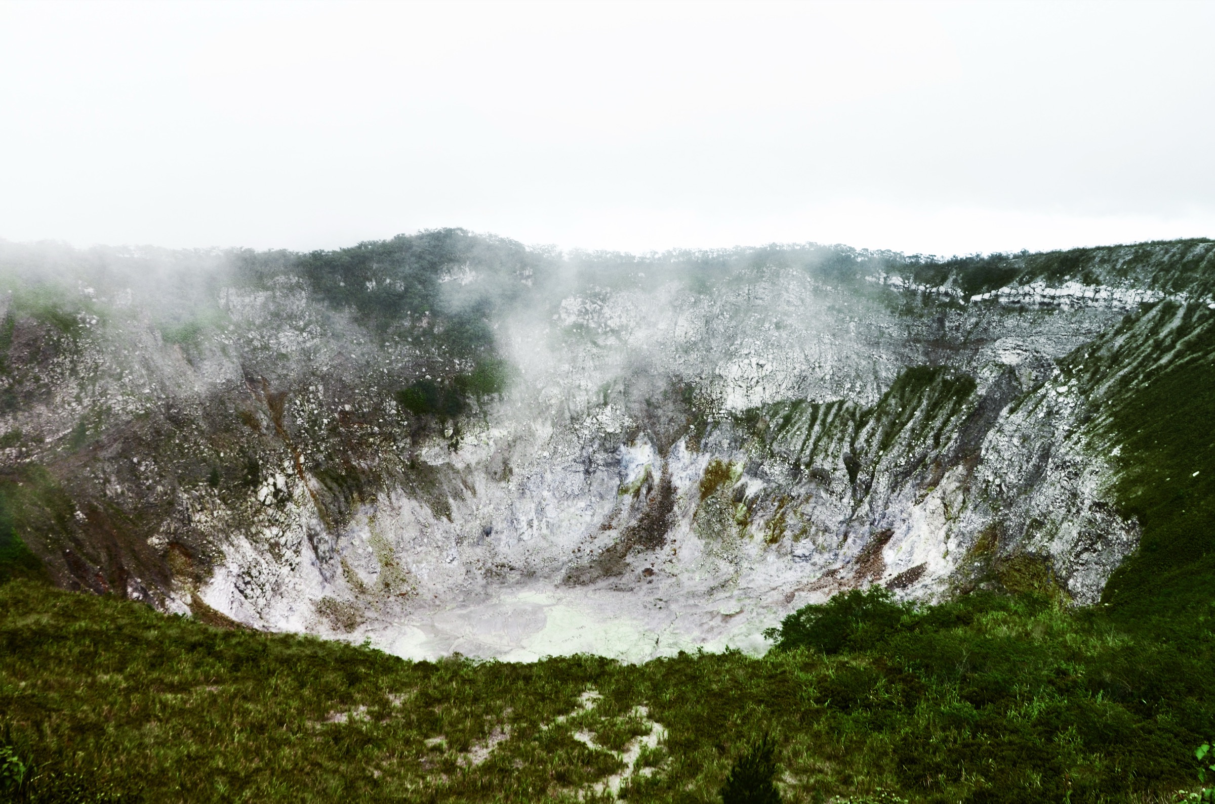
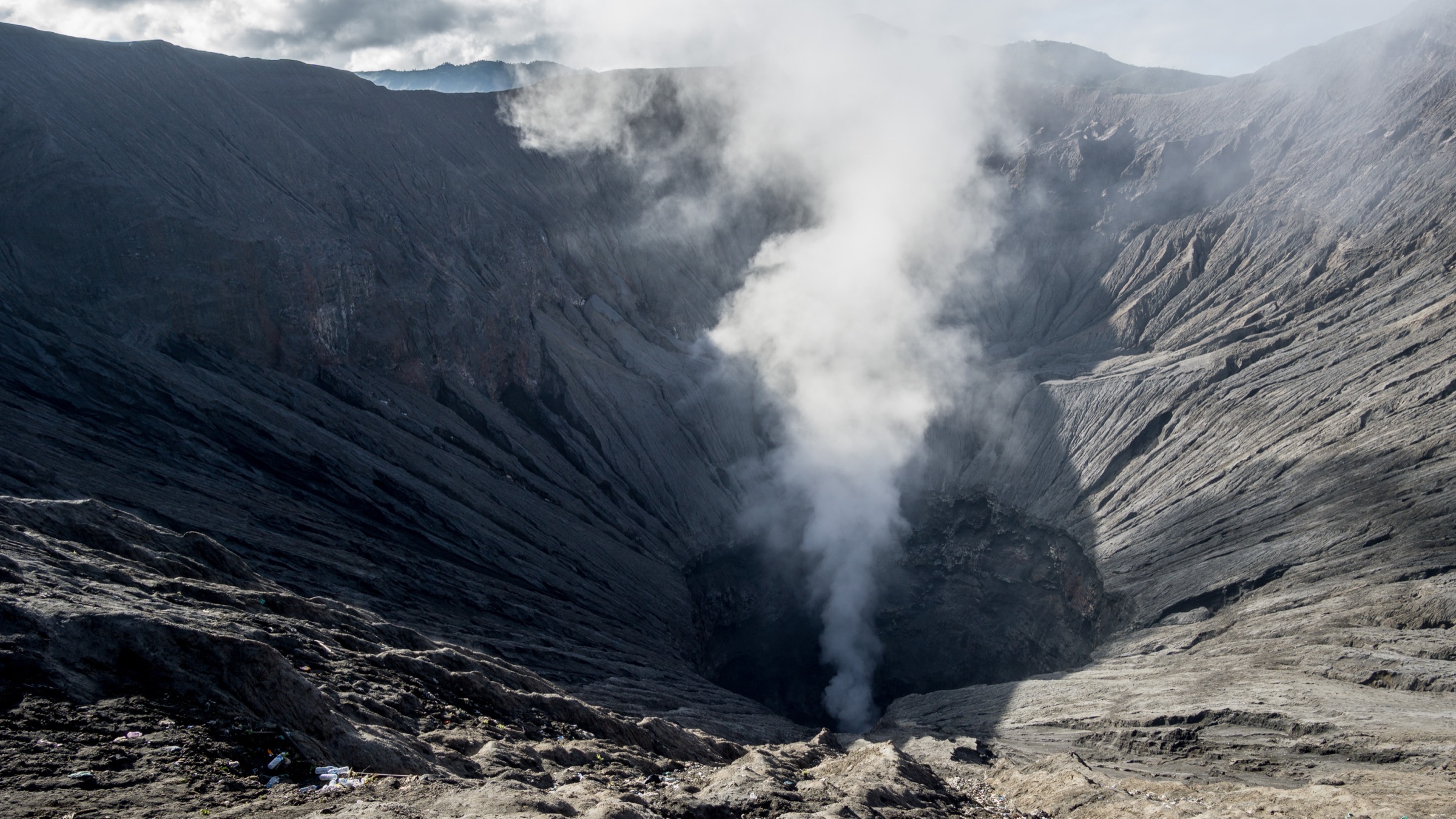
1. Mount Lokon crater route
Snapshot
Itinerary
The route follows the rough drainage and old lava-flow corridor above Tomohon toward Lokon’s active crater area. The approach is short but uneven, with large stones, mossy rock, sandy volcanic material and open crater-edge terrain. Return follows the same route to the trailhead.
Why it is essential
Lokon is one of North Sulawesi’s signature accessible volcano hikes and a classic Tomohon objective. It shows the island’s active volcanic character in a compact day route.
Equipment
- Mountain hiking equipment: sturdy boots, water, sun protection, rain layer, map/GPS, headtorch if starting early and trekking poles for the rocky descent.
- Consider a local guide because the route and volcanic restrictions can change.
Hazards and notes
- Volcanic gas, active-crater exclusion zones, slippery rock and steep eroded sides are the main risks.
- Check PVMBG/MAGMA Indonesia or local official updates before approaching the crater.
GPX / KML links
| Source | URL | Format / access | Reuse status |
|---|---|---|---|
| AllTrails: Mount Lokon | alltrails.com | Source route page / app track | AllTrails terms apply; route-file reuse not confirmed |
| OpenStreetMap search | openstreetmap.org | Map / search | OSM data is ODbL; route relation not selected |
External links
2. Mount Mahawu crater route
Snapshot
Itinerary
The mapped route climbs from the Tomohon side through forested and partly paved approach terrain toward Mahawu’s summit crater. The crater area gives views into the volcanic basin and across the Minahasa highlands. The same route is followed back unless using a local short crater-stair variant.
Why it is essential
Mahawu is the gentler companion to Lokon: a crater-view volcano with forest, crater lake/fumarole context and broad views, making it a representative North Sulawesi volcano hike.
Equipment
- Standard to mountain hiking equipment: hiking shoes or boots, rain layer, water, sun protection, map/GPS.
- Light warm layer for cloud or wind on the crater rim.
Hazards and notes
- Route length varies strongly by trailhead. The AllTrails source records a longer 13.0 km approach, while many local visits use a shorter stair-based crater walk.
- Do not combine statistics from different variants without remapping.
GPX / KML links
| Source | URL | Format / access | Reuse status |
|---|---|---|---|
| AllTrails: Mount Mahawu | alltrails.com | Source route page / app track | AllTrails terms apply; route-file reuse not confirmed |
| OpenStreetMap search | openstreetmap.org | Map / search | OSM data is ODbL; route relation not selected |
External links
- AllTrails — Mount Mahawu
- Global Volcanism Program — Mahawu
- Wikimedia Commons — Mahawu Mountain Crater
3. Mount Soputan
Snapshot
Itinerary
The mapped route approaches Soputan through forest and open volcanic terrain, with views of the active cone and surrounding highlands. The route is treated here as a day hike to the mapped high point rather than an assertion of legal/current summit access. Return follows the same route.
Why it is essential
Soputan is one of Sulawesi’s most active and visually important volcanoes. It belongs in the research set because it represents the more remote, ash-and-cone side of North Sulawesi hiking.
Equipment
- Mountain hiking equipment: sturdy boots, rain/wind layer, water, food, sun protection, map/GPS and trekking poles.
- Dust protection may be useful on dry volcanic surfaces.
Hazards and notes
- Soputan is an active volcano. Check PVMBG/MAGMA Indonesia and local authorities for exclusion zones before planning.
- Do not enter restricted crater/summit zones.
- Heat, ash, poor visibility and off-road traffic on some approaches are possible.
GPX / KML links
| Source | URL | Format / access | Reuse status |
|---|---|---|---|
| AllTrails: Mount Soputan | alltrails.com | Source route page / app track | AllTrails terms apply; route-file reuse not confirmed |
| OpenStreetMap search | openstreetmap.org | Map / search | OSM data is ODbL; route relation not selected |
External links
4. Mount Lompobattang route
Snapshot
Itinerary
The route begins through settled plantation terrain, then climbs into shrubs and forest on the lower mountain. The upper route steepens significantly, with rocky and ravine-side sections before the high summit area recorded by the source route. The descent returns by the same line.
Why it is essential
Lompobattang is a major South Sulawesi mountain objective and gives the catalogue a southern highland route rather than limiting Sulawesi to North Sulawesi volcanoes.
Equipment
- Mountain hiking equipment: sturdy boots, rain layer, warm layer for altitude, water, food, map/GPS, headtorch and trekking poles.
- A local guide is recommended; the source description mentions slippery rock and the possible usefulness of webbing/rope assistance on steep sections.
Hazards and notes
- This is a long day with steep, slippery rock and exposure near ravines.
- Dogs are flagged as not allowed by AllTrails.
- Wet conditions can make the upper route materially more serious.
GPX / KML links
| Source | URL | Format / access | Reuse status |
|---|---|---|---|
| AllTrails: Mount Lompobattang / Lintas Lompobattang-Bawakaraeng | alltrails.com | Source route page / app track | AllTrails terms apply; route-file reuse not confirmed |
| OpenStreetMap search | openstreetmap.org | Map / search | OSM data is ODbL; route relation not selected |
External links
5. Mount Batuangus, Tangkoko Nature Reserve
Snapshot
Itinerary
The short out-and-back route enters the Tangkoko / Batuangus volcanic-forest landscape near Bitung. The source route records forest, views and wildlife features, with rainforest and moss-forest ecological context. It returns by the same route.
Why it is essential
This hike adds Sulawesi’s lowland volcanic forest and wildlife-reserve character to a selection otherwise dominated by higher cones. It is also a shorter, lower-elevation counterpoint to Lompobattang and Soputan.
Equipment
- Standard hiking equipment: walking shoes or boots, rain layer, water, insect protection, sun protection and map/GPS.
- A reserve guide may be required or strongly advisable.
Hazards and notes
- Protected-area rules, wildlife viewing protocol, muddy trails and heat/humidity are the main issues.
- Confirm guide requirements and reserve access hours before departure.
GPX / KML links
| Source | URL | Format / access | Reuse status |
|---|---|---|---|
| AllTrails: Mount Batuangus | alltrails.com | Source route page / app track | AllTrails terms apply; route-file reuse not confirmed |
| OpenStreetMap search | openstreetmap.org | Map / search | OSM data is ODbL; route relation not selected |
External links
Missing data / follow-up work
- No official downloadable GPX/KML files were found.
- Lokon, Soputan, Lompobattang and Batuangus need hike-specific licence-compatible photos.
- Current PVMBG/MAGMA Indonesia status must be checked before any Lokon or Soputan publication/use.
- Mahawu statistics vary by trailhead; the entry uses the longer AllTrails approach and flags shorter crater-stair variants.
- Protected-area guide rules for Tangkoko/Batuangus need local confirmation.
External links
| Source | URL |
|---|---|
| AllTrails — Mount Lokon | alltrails.com |
| AllTrails — Mount Mahawu | alltrails.com |
| AllTrails — Mount Soputan | alltrails.com |
| AllTrails — Lintas Lompobattang-Bawakaraeng | alltrails.com |
| AllTrails — Mount Batuangus | alltrails.com |
| Global Volcanism Program — Lokon-Empung | volcano.si.edu |
| Global Volcanism Program — Mahawu | volcano.si.edu |
| Global Volcanism Program — Soputan | volcano.si.edu |