The Inca Trail to Machu Picchu is one of South America’s most celebrated trekking routes. It follows part of the historic Qhapaq Ñan, the Inca road network, and combines stone paths, mountain passes, cloud forest, archaeological sites and a final approach to Machu Picchu through Inti Punku, the Sun Gate.
Quick facts
- Overview
- Classic Inca Trail itinerary
- Route variations
- Archaeological sites
- Landscape, flora, and wildlife
- Weather and best season
- Altitude and acclimatisation
- Physical preparation
- Essential gear
- Permits and booking
- Choosing an operator
- Regulations and safety
- Alternative treks
- Practical FAQ
- Route files and downloadable PDFs
- Sources
Overview
The classic Inca Trail is normally walked over four days. The route begins at Piscacucho, also known as Km 82, and climbs through Andean valleys, high passes, cloud forest and a sequence of Inca archaeological sites before reaching Machu Picchu. Unlike many alternative treks in the Cusco region, the official Inca Trail requires an authorised operator, a licensed guide and a pre-booked permit.
Classic Inca Trail itinerary
Day 1: Cusco – Km 82 – Ayapata
The trek begins at Km 82, near Piscacucho, after a transfer from Cusco or the Sacred Valley. This first stage is a moderate introduction to the trail, following the Urubamba Valley and passing early archaeological sites such as Cajabamba and Llactapata. The day usually finishes at or near Ayapata, around 3,300 m.
- Approximate walking distance: 14 km
- Typical start elevation: around 2,700 m
- Typical camp elevation: around 3,300 m
- Main features: Urubamba Valley views, Llactapata, first Inca Trail sections
Day 2: Ayapata – Dead Woman’s Pass – Chaquiqocha
The second day is usually the most physically demanding stage. The trail climbs to Warmiwañusca, commonly called Dead Woman’s Pass, at about 4,215 m. After the pass, the route descends and then climbs again towards Runkurakay Pass. Important archaeological sites on this stage include Runkurakay and Sayacmarca.
- Highest point of the trek: 4,215 m
- Main challenge: long ascent to Dead Woman’s Pass
- Main sites: Runkurakay and Sayacmarca
- Terrain: high Andean trail, stone steps, steep descents
Day 3: Chaquiqocha – Phuyupatamarca – Wiñay Wayna
The third day is one of the most scenic and archaeological-rich parts of the route. The trail passes Phuyupatamarca, Intipata and Wiñay Wayna while gradually descending from high mountain terrain into greener cloud-forest vegetation. Wiñay Wayna is one of the most important archaeological complexes on the trail and is usually the final campsite before Machu Picchu.
- Main sites: Phuyupatamarca, Intipata, Wiñay Wayna
- Terrain: stone paths, terraces, cloud forest
- Character: scenic, historic and less physically severe than Day 2
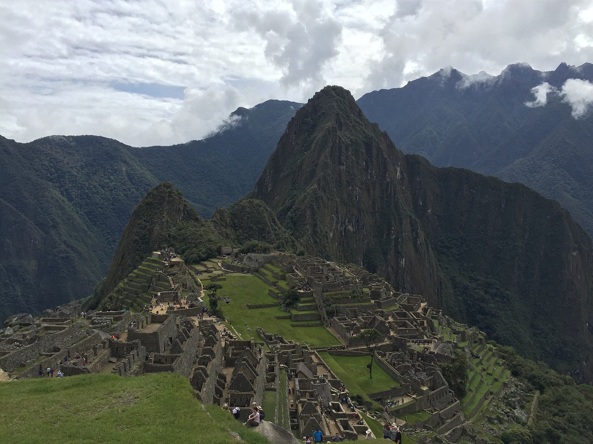
Day 4: Wiñay Wayna – Inti Punku – Machu Picchu – Cusco
The final day starts early. The trail continues to Inti Punku, the Sun Gate, where trekkers following the classic Inca Trail reach the traditional elevated approach to Machu Picchu. The route then descends into the citadel for a guided visit. The return is normally via Aguas Calientes, train to Ollantaytambo and road transfer to Cusco.
- Main feature: first view of Machu Picchu from Inti Punku
- Finish: Machu Picchu
- Return: Aguas Calientes, train and road transfer
- Character: early start, final descent, archaeological visit
Route variations
-
Inca Trail Day Hike
The one-day route begins at Km 104 and follows the shorter approach via Chachabamba, Wiñay Wayna and Inti Punku before reaching Machu Picchu. It is suitable for travellers with limited time who still want to walk a section of the historic Inca Trail.
-
Short Inca Trail, 2 Days
The 2-day route also starts at Km 104 and includes Chachabamba, Wiñay Wayna, Inti Punku and Machu Picchu. The first day usually ends in Aguas Calientes, with a more complete visit to Machu Picchu on the second day.
-
Salkantay + Classic Inca Trail, 7 Days
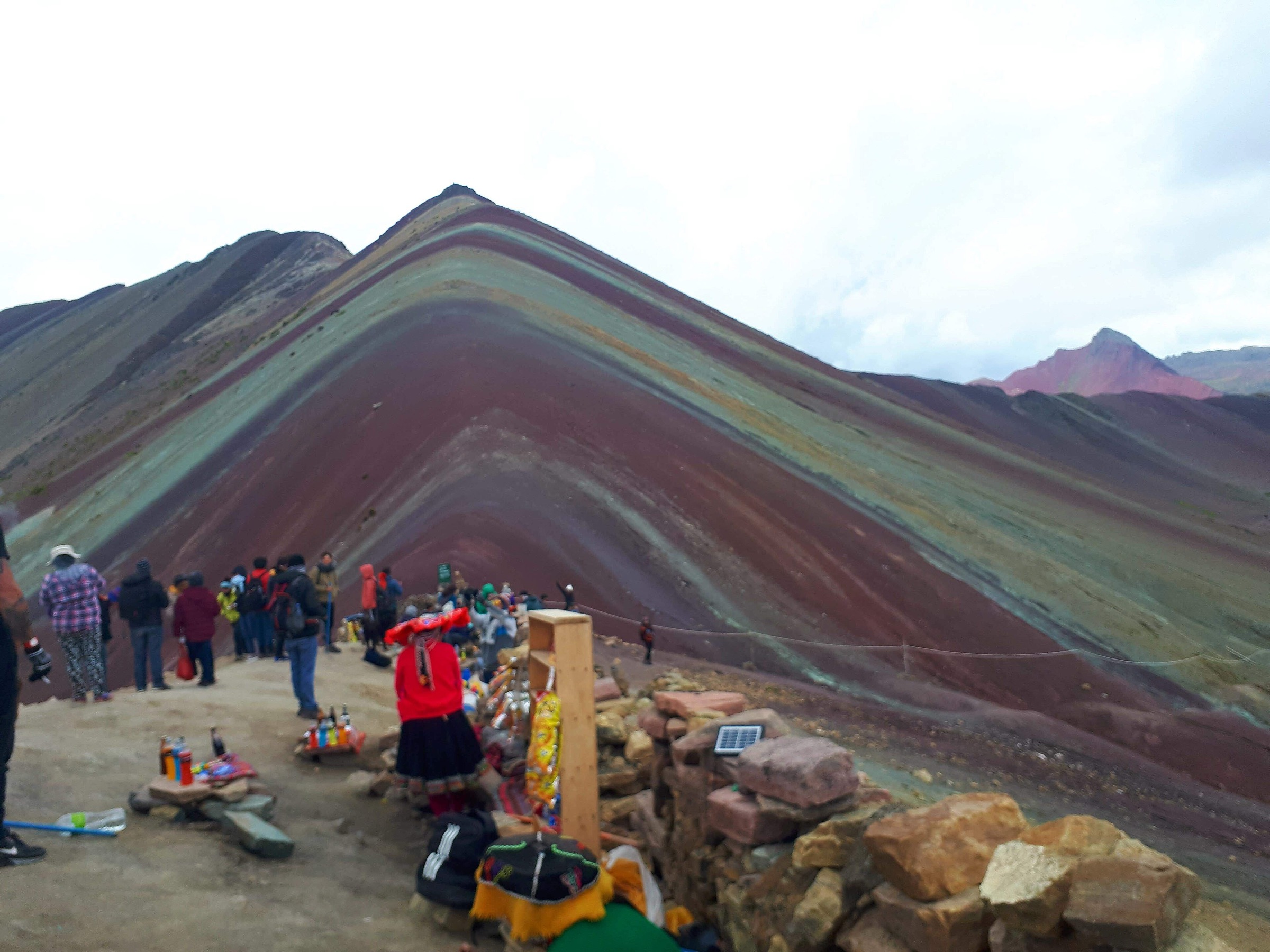
This longer route combines high mountain scenery around Salkantay with the classic Inca Trail approach to Machu Picchu. It is more demanding than the standard 4-day itinerary and includes glaciers, alpine lakes, high passes and cloud forest before joining the Inca Trail.
-
Lares Trek + Short Inca Trail, 5 Days
This combination links Andean communities, lakes, hot springs and mountain landscapes with the Short Inca Trail route to Machu Picchu. A good choice for combining cultural encounters with the final approach via Wiñay Wayna and Inti Punku.
-
Ancascocha + Short Inca Trail, 5 Days
The Ancascocha combination offers a quieter mountain route before linking with the Short Inca Trail. It includes rural communities, high passes, lakes and Inca Trail sites before finishing at Machu Picchu.
Archaeological sites
The Inca Trail is a route through both landscape and history. Important sites include Llactapata, Runkurakay, Sayacmarca, Phuyupatamarca, Intipata, Wiñay Wayna, Inti Punku and Machu Picchu.
Llactapata is one of the first major sites after Km 82 and offers views across the valley. Runkurakay is known for its circular form and is often interpreted as a checkpoint or resting place. Sayacmarca occupies a strategic elevated position with terraces, corridors and water channels. Phuyupatamarca, often translated as “Town in the Clouds,” is notable for its altitude, setting and water system. Wiñay Wayna is one of the most impressive complexes on the route, with agricultural terraces and ceremonial structures. Inti Punku, the Sun Gate, is the traditional entrance point for the final approach to Machu Picchu.
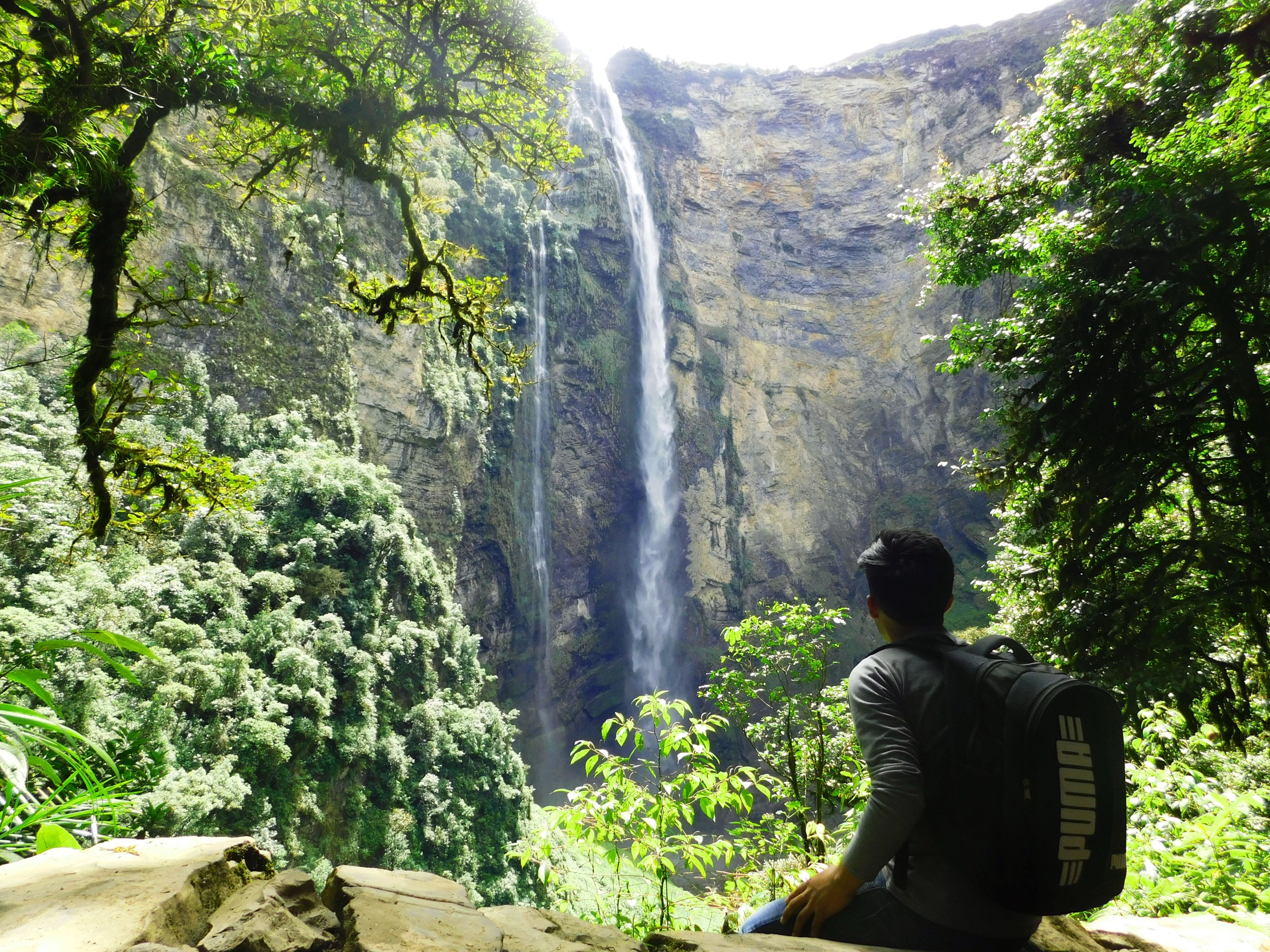
Landscape, flora, and wildlife
The route crosses several ecological zones, from high Andean terrain to cloud forest. The Machu Picchu Historic Sanctuary protects both archaeological remains and natural habitats. Wildlife in the wider sanctuary can include spectacled bear, Andean fox, deer, puma, torrent duck, Andean cock-of-the-rock, condor, llamas, alpacas and many bird species. The area is also known for orchids and other cloud-forest vegetation.
Weather and best season
The dry season from May to October generally provides the most stable trekking conditions, clearer skies and lower rainfall. It is also the busiest period, so permits should be booked well in advance.
The rainy season runs from November to April. During this period the landscape is greener, but trails can be wet and slippery and visibility may be reduced. April and October are transition months and can offer a balance between greener scenery and lower visitor numbers.
The Inca Trail is closed in February for rainy-season safety reasons and maintenance.
Altitude and acclimatisation
The highest point of the classic route is Dead Woman’s Pass at approximately 4,215 m. The altitude can cause headaches, fatigue, dizziness or reduced appetite, especially on the second day. Trekkers should spend at least two days acclimatising in Cusco or the Sacred Valley before starting the trek.
Fear of heights is not usually the main difficulty on the classic route. The trail includes steep stone stairways and mountain sections, but it is not generally characterised by exposed cliff-edge walking.
Physical preparation
The Inca Trail does not require technical mountaineering skills, but it does require good general fitness. Preparation should focus on cardiovascular endurance, leg strength and comfort on uneven ground. Hill walking, stair climbing, progressive hikes and daypack walks are useful preparation.
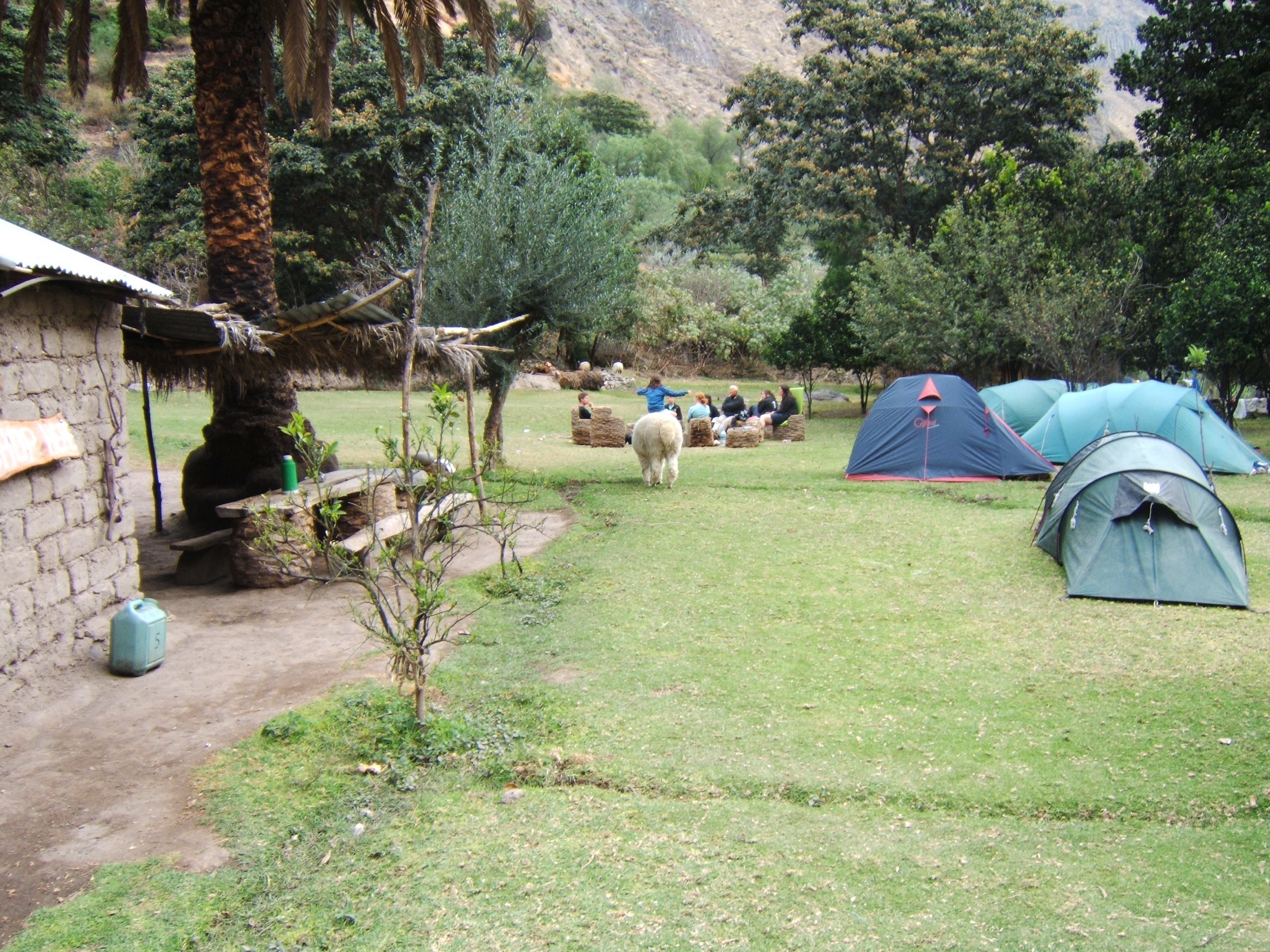
Porters normally carry camp equipment and a limited amount of personal gear, but each trekker still carries a daypack with water, layers, waterproof clothing, sun protection and personal items.
Essential gear
Recommended equipment includes:
- Broken-in trekking shoes or boots
- Waterproof jacket
- Warm layers for mornings, evenings and high passes
- Sun hat and warm hat
- Sunscreen
- Insect repellent
- Comfortable daypack
- Water bottle or hydration system
- Head torch
- Personal medication
- Walking poles with rubber tips
- Lightweight gloves
- Quick-drying trekking clothes
Permits and booking
The Inca Trail is controlled by a daily permit system. The total daily quota includes trekkers, guides, porters, cooks and support staff, so the number of tourist trekking permits is limited. Permits must be arranged through an authorised operator and can sell out months in advance, especially in the dry season.
For May to September departures, booking five to six months ahead is advisable. For quieter months, three months may be sufficient, but availability should always be checked before confirming flights or fixed travel plans.
Choosing an operator
A suitable operator should provide:
- Authorised Inca Trail permits
- Licensed guides
- Clear safety procedures
- Fair porter practices
- Suitable meals for multi-day trekking
- Transparent inclusions and exclusions
- Proper camping logistics
- Emergency support
- Clear information about equipment and baggage limits
Animals are not allowed on the official Inca Trail, so porter welfare and load limits are important.
Regulations and safety
The Inca Trail is regulated to protect visitors, archaeological sites and the natural environment of the Machu Picchu Historic Sanctuary. Access is only permitted with an authorised operator and licensed guide. Trekkers must carry valid identification, register at checkpoints, respect trail hours and follow site rules. Walking poles must have rubber tips.
Alternative treks
Travellers who cannot obtain Inca Trail permits, or who prefer a different experience, can consider:
- Salkantay Trek
- Lares Trek
- Choquequirao Trek
- Inca Jungle Trek
- Inca Quarry Trek
These routes vary from high mountain treks and cultural routes to remote archaeological itineraries and mixed-activity trips.
Practical FAQ
Best time to hike: May to October is generally the driest and most popular period. April and October can be good shoulder-season options.
How to reach Km 82: the classic trailhead is reached by road from Cusco or Ollantaytambo.
How to return from Aguas Calientes: the usual return is by train from Aguas Calientes to Ollantaytambo, followed by road transfer to Cusco.
How to reach Machu Picchu from Aguas Calientes: buses run between Aguas Calientes and Machu Picchu. Walking is possible, but the ascent is steep and takes significantly longer.
Is the route signposted: there are signposted points, especially around archaeological sites and checkpoints, but the route must still be walked with an authorised guide.
Route files and downloadable PDFs
No GPX or KML route files were identified from the checked source pages. The available downloadable route resources are PDF brochures.
- PDF Classic Inca Trail 4 Days / 3 Nights Map, itinerary, inclusions and packing list.
- PDF Short Inca Trail 2 Days / 1 Night Map, itinerary, inclusions and packing list.
- PDF One Day Inca Trail Map, one-day itinerary, inclusions and packing list.
- PDF Salkantay & Inca Trail 7 Days Combined Salkantay and Inca Trail itinerary with map and route details.
- PDF Lares Trek & Inca Trail 5 Days Combined Lares and Short Inca Trail itinerary with map and route details.
- PDF Ancascocha & Short Inca Trail 5 Days Combined Ancascocha and Short Inca Trail itinerary with map and route details.
- PDF SERNANP Inka Trail Tourism Regulation Official regulation document for sustainable tourism use of the Inka Trail network.