Regional overview
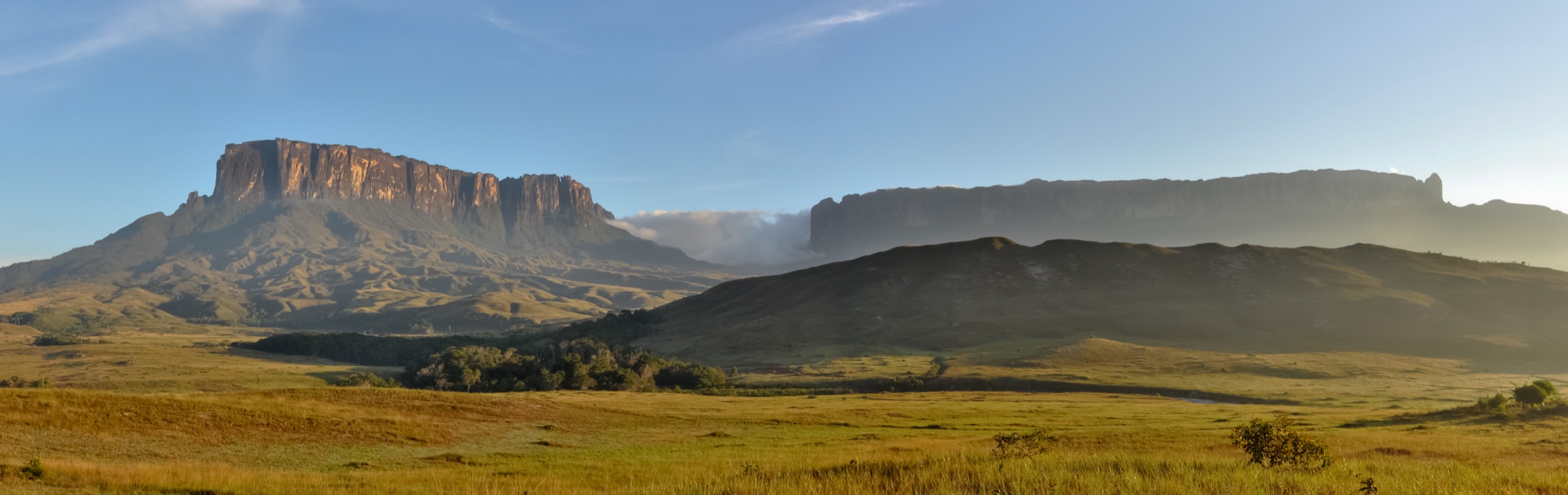
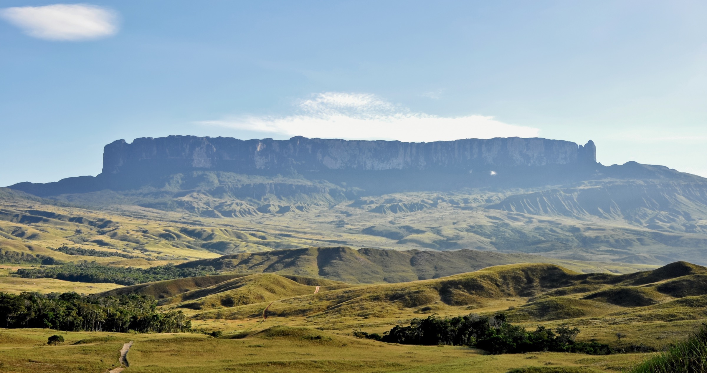
Guyana’s highland walking is not a conventional waymarked-trail scene. The main accessible hiking experiences are community-guided forest and savannah walks in the North Rupununi, the Iwokrama Forest, the Kanuku and Pakaraima foothills, and the fly-in Kaieteur plateau. Routes usually depend on lodges, Indigenous village permissions, protected-area rules, river travel, airstrips, and local guides.
The walking character is tropical, humid and wildlife-rich rather than alpine. Trails are often short by distance but demanding because of heat, mud, poor drainage, insects, river logistics and limited rescue options. Wet-season travel can make road, river and air access unreliable.
Only one route in this pass has strong public statistics from a trail database. Several other walks are named by the Guyana Tourism Authority or community/region sources but lack published GPS-grade statistics. They are retained as candidate catalogue items and should be field-verified before publication.
Selection rationale
The selection balances the best-known accessible highland experiences: Kaieteur Falls, Iwokrama forest walking, Surama’s community-guided savannah-to-hill terrain, the Wowetta/Makarapan landscape, and a ranch/foothill walk in the Rupununi highland fringe. Major wilderness expeditions and illegal/unverified access are excluded.
Summary table
| # | Hike | Country | Route type | Distance | Gain | Max elevation | Difficulty |
|---|---|---|---|---|---|---|---|
| 1 | Kaieteur Falls Viewpoint Nature Trail | Guyana | Out-and-back | 2.4 km | 115 m | 445 m | Moderate |
| 2 | Iwokrama Forest Trail / Turtle Mountain area | Guyana | Guided out-and-back / local loop | Unresolved | Unresolved | Unresolved | Moderate-hard tropical |
| 3 | Surama Nature Hike / Surama Mountain | Guyana | Guided out-and-back | Unresolved | Unresolved | Unresolved | Moderate-hard tropical |
| 4 | Wowetta - Makarapan Mountain foothill walk | Guyana | Guided out-and-back | Unresolved | Unresolved | Unresolved | Candidate only |
| 5 | Saddle Mountain Ranch trail | Guyana | Guided loop / out-and-back | Unresolved | Unresolved | Unresolved | Candidate only |
1. Kaieteur Falls Viewpoint Nature Trail

Snapshot
Itinerary
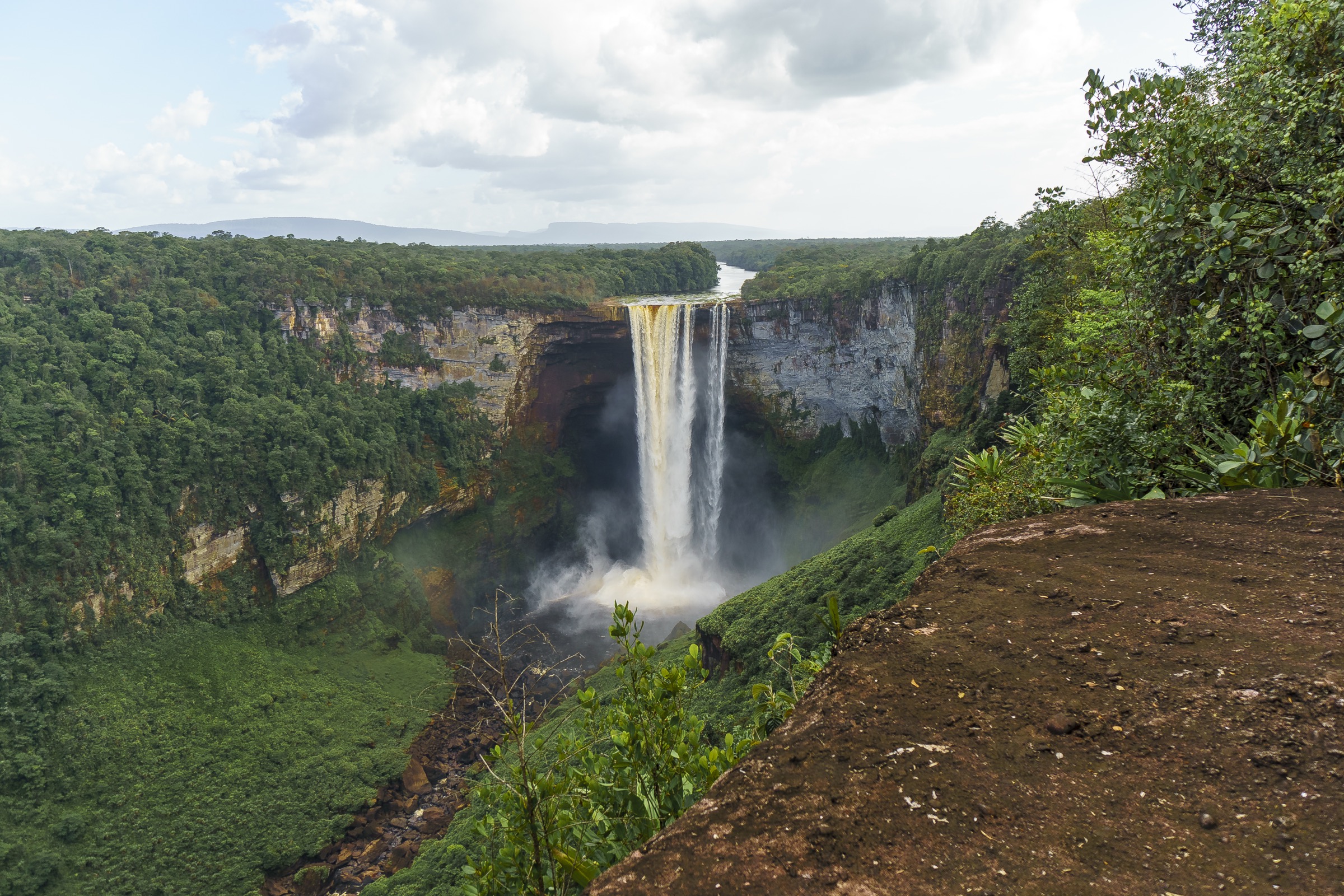
From the Kaieteur airstrip, the guided trail crosses low forest and open plateau vegetation to the main Kaieteur Falls viewpoints. The standard tour visits the Rainbow, Boy Scout and Johnson viewpoints, with views over the Potaro River and the 226 m main drop. The route returns to the airstrip by the same general trail network.
Why it is essential
Kaieteur is Guyana’s signature natural landmark and the most accessible highland plateau walk for visitors. It combines a major waterfall, tepui-edge geology, endemic wildlife habitat and a short but memorable guided trail.
Equipment
Light hiking shoes, sun protection, rain shell, water, insect repellent, camera protection and any medication needed during flight delays. Stay with the guide near unrailed escarpment edges.
Hazards and notes
The viewpoints have exposed, unguarded rock edges. Flights may be cancelled or delayed by weather. Access is controlled through tour operators and national park arrangements.
GPX / KML links
| Source | URL | Format / access | Reuse status |
|---|---|---|---|
| AllTrails — Kaieteur Falls | alltrails.com | Source map / trail listing | AllTrails terms apply; source-map reference only, coordinates not reused |
| OpenStreetMap search | openstreetmap.org | Map data / search | OSM data is ODbL; geometry cross-check target |
External links
2. Iwokrama Forest Trail / Turtle Mountain area

Snapshot
Itinerary
The route should be arranged through Iwokrama or a licensed lodge/operator. Public sources identify Iwokrama as one of Guyana’s key forest walking areas, and the Guyana Tourism Authority names the Iwokrama Forest Trail as a soft-adventure hike. Exact published trail geometry and day-hike statistics were not found in this pass.
Why it is essential
Iwokrama is one of Guyana’s most important protected rainforest landscapes and a representative Guiana Shield forest walking area. It belongs in the longlist, but the final catalogue route needs confirmed local statistics.
Equipment
Light boots or trail shoes, long trousers, rain shell, insect repellent, water, guide-arranged communications, headtorch, and dry bags for electronics.
Hazards and notes
Heat, humidity, insects, mud, wildlife encounters and river/road logistics are the main issues. Access and guiding should be confirmed directly with Iwokrama or a licensed operator.
GPX / KML links
| Source | URL | Format / access | Reuse status |
|---|---|---|---|
| OpenStreetMap search | openstreetmap.org | Map data / search | OSM data is ODbL; broad geography only, no verified route line |
External links
3. Surama Nature Hike / Surama Mountain

Snapshot
Itinerary
Surama is a community tourism base between rainforest and savannah, with Surama Mountain east of the village. The Guyana Tourism Authority names the Surama nature hike as a soft-adventure route. A publishable day-hike line, distance and gain were not verified in this pass.
Why it is essential
Surama is one of Guyana’s best-known community ecotourism villages and gives a clear transition from savannah to forested highland foothills.
Equipment
Light boots, long trousers, rain shell, insect repellent, water, sun protection, snacks and guide-arranged safety communications.
Hazards and notes
The route should be walked only with local permission and a village guide. Heat, ticks/insects, sudden rain and lowland-forest navigation are normal planning factors.
GPX / KML links
| Source | URL | Format / access | Reuse status |
|---|---|---|---|
| OpenStreetMap search | openstreetmap.org | Map data / search | OSM data is ODbL; broad geography only, no verified route line |
External links
4. Wowetta - Makarapan Mountain foothill walk

Snapshot
Itinerary
The Guyana Tourism Authority identifies Makarapan Mountain as one of the more challenging hiking options in Guyana. Public sources place Wowetta near the Pakaraima and Makarapan Mountain landscape. A legal day route, statistics and GPX were not verified in this pass.
Why it is essential
If locally available and legal, Makarapan would add a more strenuous sandstone highland component to the Guyana highlands selection.
Equipment
Mountain-tropical day kit: boots, long trousers, rain shell, water, food, insect repellent, sun protection, headtorch and local guide.
Hazards and notes
This item is not publication-ready. Community permission, route condition, access rules, distance, gain and current guiding arrangements need direct confirmation.
GPX / KML links
| Source | URL | Format / access | Reuse status |
|---|---|---|---|
| OpenStreetMap search | openstreetmap.org | Map data / search | OSM data is ODbL; broad geography only, no verified route line |
External links
5. Saddle Mountain Ranch trail

Snapshot
Itinerary
The Guyana Tourism Authority lists Saddle Mountain Ranch among adventure-related operators/experiences and names Saddle Mountain trail among softer adventure hikes. A specific published route line and statistics were not found in this pass.
Why it is essential
This candidate represents the open Rupununi savannah and low highland fringe, complementing forest and waterfall walks.
Equipment
Light boots or trail shoes, sun hat, rain shell, water, insect repellent and guide-arranged safety communications.
Hazards and notes
This item requires direct operator confirmation. It should not be treated as a verified independent route.
GPX / KML links
| Source | URL | Format / access | Reuse status |
|---|---|---|---|
| OpenStreetMap search | openstreetmap.org | Map data / search | OSM data is ODbL; broad geography only, no verified route line |
External links
External links
| Source | URL |
|---|---|
| AllTrails — Kaieteur Falls | alltrails.com |
| Guyana Tourism Authority — Active Adventure | guyanatourism.com |
| Guyana Tourism Authority — Kaieteur Falls | guyanatourism.com |
| Guyana Tourism Authority — How to get around | guyanatourism.com |
| Iwokrama International Centre | iwokrama.org |
| Wikipedia — Surama | en.wikipedia.org |
| Wikipedia — Wowetta | en.wikipedia.org |