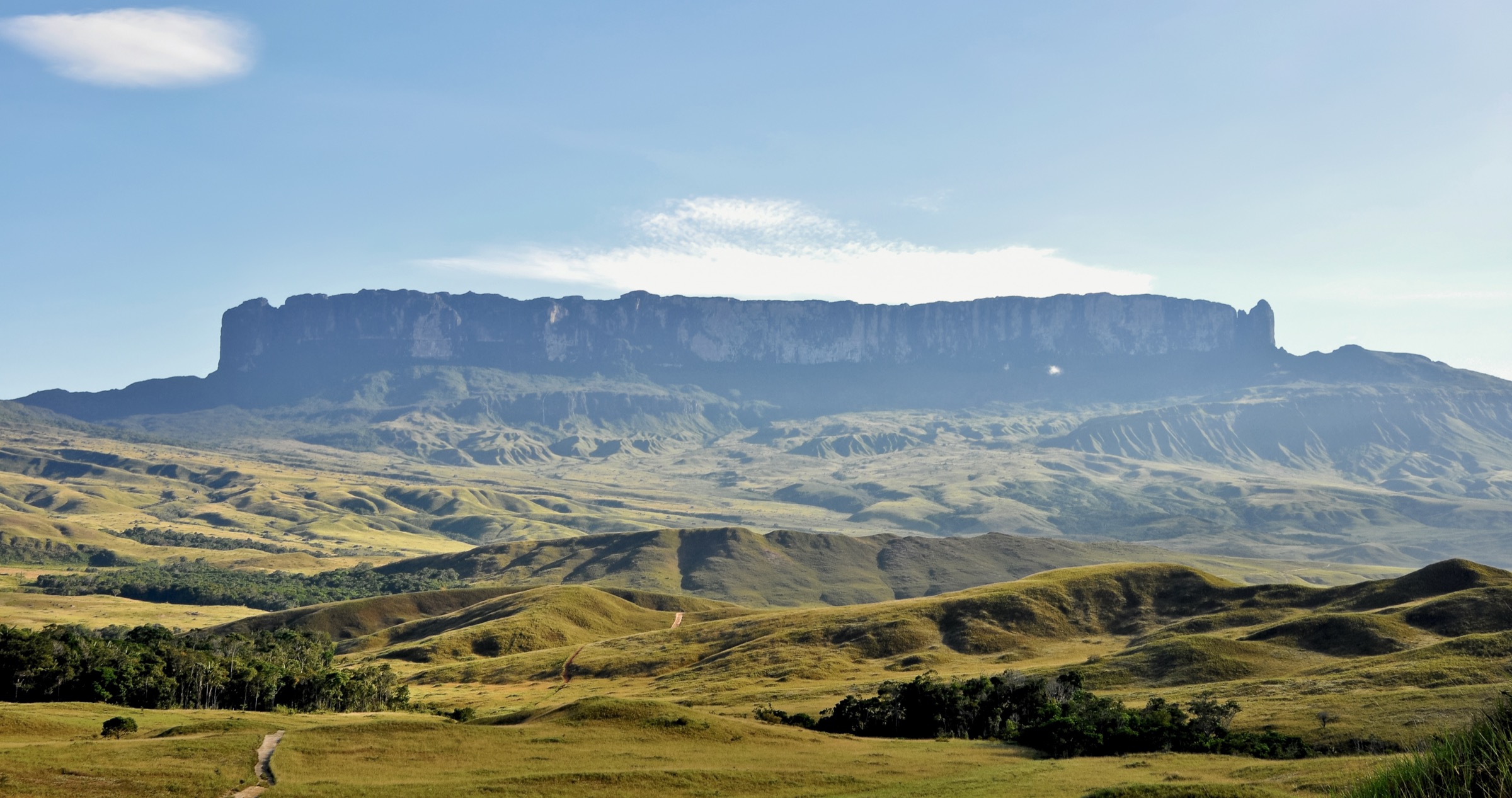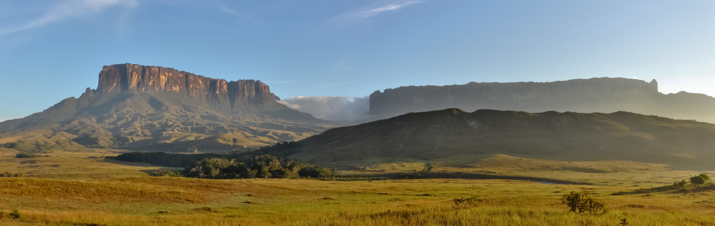

Regional overview
The Kaieteur / Pakaraima escarpments entry covers Guyana’s Potaro plateau, Kaieteur National Park and the western highland/fringe landscapes leading toward the Pakaraima Mountains. It is a remote, rainforest-and-sandstone region where walking is usually guided and embedded in air, river, lodge or community logistics.
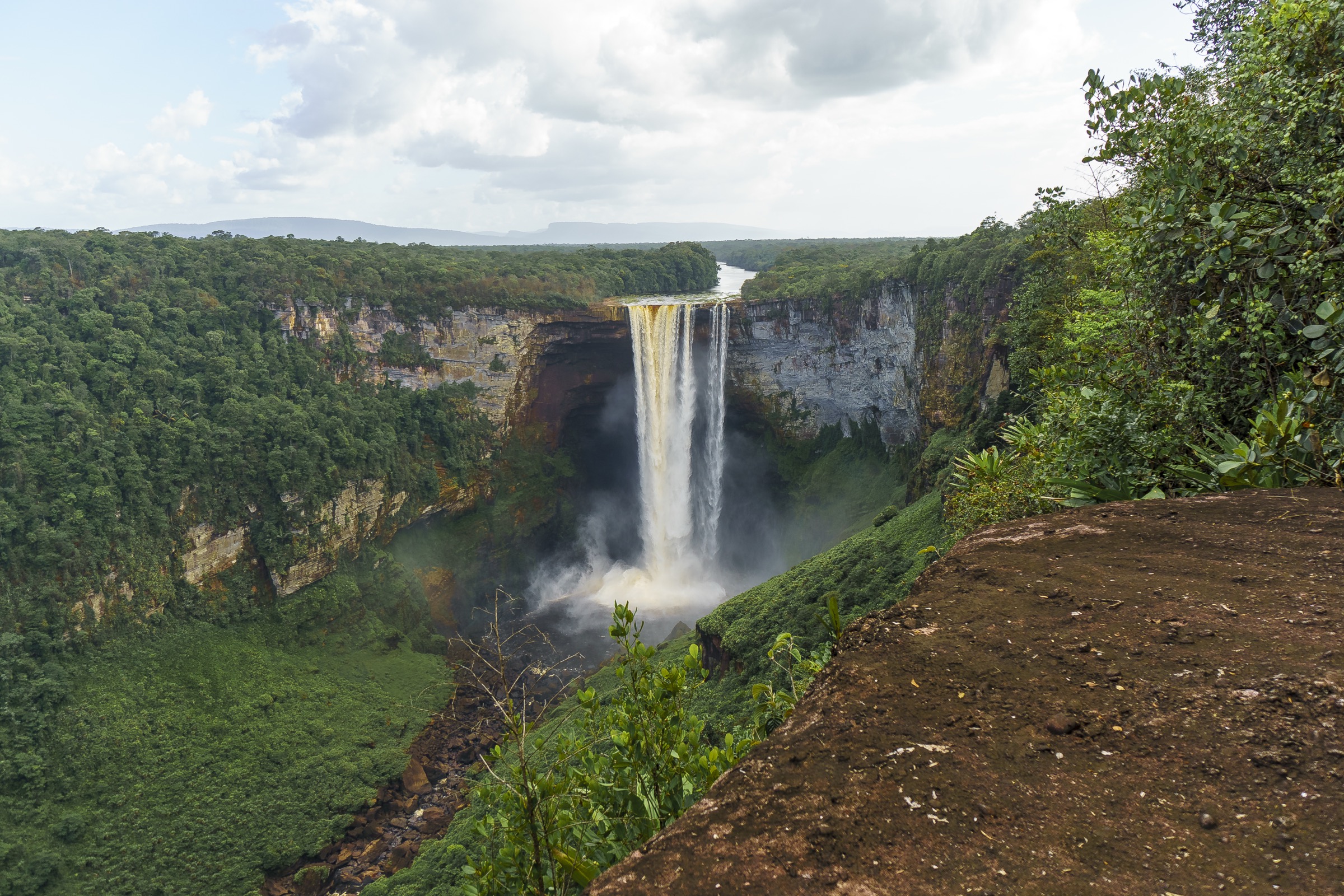
The region’s strongest verified day walk is the Kaieteur Falls viewpoint circuit from the airstrip. Other potential day hikes are named in official tourism material or local geography sources but lack public trail statistics and route files. Some famous objectives, such as Kaieteur overland approaches, may be multi-day routes rather than day hikes.
The five entries below are deliberately conservative. The Kaieteur viewpoint route is partially verified; the others are candidate route records needing local confirmation.
Selection rationale
The selection gives priority to the Potaro escarpment and Pakaraima foothill character: Kaieteur Falls, Kaieteur overland route context, Makarapan/Wowetta, Surama Mountain and Orinduik/Irireng border-waterfall context. Obscure or unsupported routes are not promoted as verified hikes.
Summary table
| # | Hike | Country | Route type | Distance | Gain | Max elevation | Difficulty |
|---|---|---|---|---|---|---|---|
| 1 | Kaieteur Falls Viewpoint Nature Trail | Guyana | Out-and-back | 2.4 km | 115 m | 445 m | Moderate |
| 2 | Kaieteur Overland Tour day section | Guyana | Multi-day route section candidate | Unresolved | Unresolved | Unresolved | Candidate only |
| 3 | Makarapan Mountain / Wowetta candidate | Guyana | Guided out-and-back | Unresolved | Unresolved | Unresolved | Candidate only |
| 4 | Surama Mountain / Pakaraima foothill walk | Guyana | Guided out-and-back | Unresolved | Unresolved | Unresolved | Candidate only |
| 5 | Orinduik Falls / Ireng River escarpment walk | Guyana / Brazil border | Short waterfall walk candidate | Unresolved | Minimal, unresolved | Unresolved | Candidate only |
1. Kaieteur Falls Viewpoint Nature Trail

Snapshot
Itinerary
The guided trail starts near the Kaieteur airstrip and visits the main plateau viewpoints of Kaieteur Falls. The route reaches Rainbow, Boy Scout and Johnson viewpoints, with forest, open rock and escarpment-edge sections above the Potaro River.
Why it is essential
This is the core day walk of the Kaieteur/Pakaraima escarpment region and the most reliably documented visitor route in the area.
Equipment
Light hiking shoes, rain shell, sun protection, insect repellent, water and dry storage for electronics.
Hazards and notes
Unrailed cliffs and flight delays/cancellations are the main practical risks. Walk only with the park/tour guide.
GPX / KML links
| Source | URL | Format / access | Reuse status |
|---|---|---|---|
| AllTrails — Kaieteur Falls | alltrails.com | Source map / trail listing | AllTrails terms apply; source-map reference only |
| OpenStreetMap search | openstreetmap.org | Map data / search | OSM data is ODbL; geometry cross-check only |
External links
2. Kaieteur Overland Tour Day Section

Snapshot
Itinerary
The Guyana Tourism Authority names the Kaieteur Overland Tour among more challenging hikes/treks. This pass did not verify a single legal day section, distance, gain or route file. It is retained as a route-research placeholder rather than a publishable hike.
Why it is essential
The overland approach is the historic/adventure counterpoint to the fly-in Kaieteur walk, but it needs operator-sourced verification before use.
Equipment
Full tropical trekking kit as specified by operator: boots, rain protection, insect repellent, water treatment, headtorch and camping gear if overnight.
Hazards and notes
Likely multi-day, remote and guide-dependent. Do not describe as a day hike without verified itinerary.
GPX / KML links
| Source | URL | Format / access | Reuse status |
|---|---|---|---|
| OpenStreetMap search | openstreetmap.org | Map data / search | OSM data is ODbL; broad geography only |
External links
3. Makarapan Mountain / Wowetta Candidate
Snapshot
Itinerary
Makarapan Mountain is identified by the Guyana Tourism Authority as a more challenging hiking option. Wowetta sources place the village within a Pakaraima/Kanuku/Makarapan mountain setting. A specific day route and statistics were not found.
Why it is essential
If verified, this would provide a more strenuous sandstone highland walk within the Pakaraima fringe.
Equipment
Boots, rain layer, long trousers, insect repellent, water, food, sun protection, headtorch and local guide.
Hazards and notes
Community permission, guide arrangements and route data are unresolved.
GPX / KML links
| Source | URL | Format / access | Reuse status |
|---|---|---|---|
| OpenStreetMap search | openstreetmap.org | Map data / search | OSM data is ODbL; broad geography only |
External links
4. Surama Mountain / Pakaraima Foothill Walk
Snapshot
Itinerary
Surama village lies between rainforest, savannah and the Pakaraima foothill landscape. The Guyana Tourism Authority names the Surama nature hike among softer adventure hikes, but no publishable route geometry or statistics were found.
Why it is essential
Surama is a flagship community tourism area and belongs in the Pakaraima-fringe hiking shortlist once route details are confirmed.
Equipment
Light boots, long trousers, rain shell, insect repellent, sun protection, water and local guide.
Hazards and notes
Local guide and community permission are essential. Heat, mud, insects and lowland-forest navigation are normal planning factors.
GPX / KML links
| Source | URL | Format / access | Reuse status |
|---|---|---|---|
| OpenStreetMap search | openstreetmap.org | Map data / search | OSM data is ODbL; broad geography only |
External links
5. Orinduik Falls / Ireng River Escarpment Walk
Snapshot
Itinerary
Orinduik Falls is often paired with fly-in Kaieteur itineraries and lies on the Ireng River near the Brazil border. A specific day-hike trail, distance and GPX were not verified in this pass, so it is included only as an access-controlled waterfall walk candidate.
Why it is essential
Orinduik would broaden the entry beyond Kaieteur to the western Pakaraima border escarpment and Ireng River landscape.
Equipment
Trail shoes with wet-rock grip, sun protection, rain shell, water and dry bags.
Hazards and notes
Water levels, slippery rock, flight reliability and border-area logistics require local confirmation.
GPX / KML links
| Source | URL | Format / access | Reuse status |
|---|---|---|---|
| OpenStreetMap search | openstreetmap.org | Map data / search | OSM data is ODbL; broad geography only |
External links
Missing data / follow-up work
- Confirm whether Kaieteur Overland can be represented by a legal day section; otherwise exclude from final day-hike catalogue.
- Verify Makarapan, Surama and Orinduik route statistics directly with communities/operators.
- Find licence-compatible images beyond Kaieteur.
- Obtain official/community-approved route files or create new GPX after confirming permitted geometry.
External links
| Source | URL |
|---|---|
| Guyana Tourism Authority — Active Adventure | guyanatourism.com |
| Guyana Tourism Authority — Kaieteur Falls | guyanatourism.com |
| Guyana Tourism Authority — How to get around | guyanatourism.com |
| AllTrails — Kaieteur Falls | alltrails.com |
| Wikipedia — Wowetta | en.wikipedia.org |
| Wikipedia — Surama | en.wikipedia.org |