Regional overview
The Chaillu Mountains are a low, humid Central African massif straddling southern Gabon and the Republic of the Congo. The range is not a developed public hiking destination in the Alpine sense; the best documented walking objectives are summits, national-park forest routes, rift/gorge features, and village approaches that need local permission or guiding.
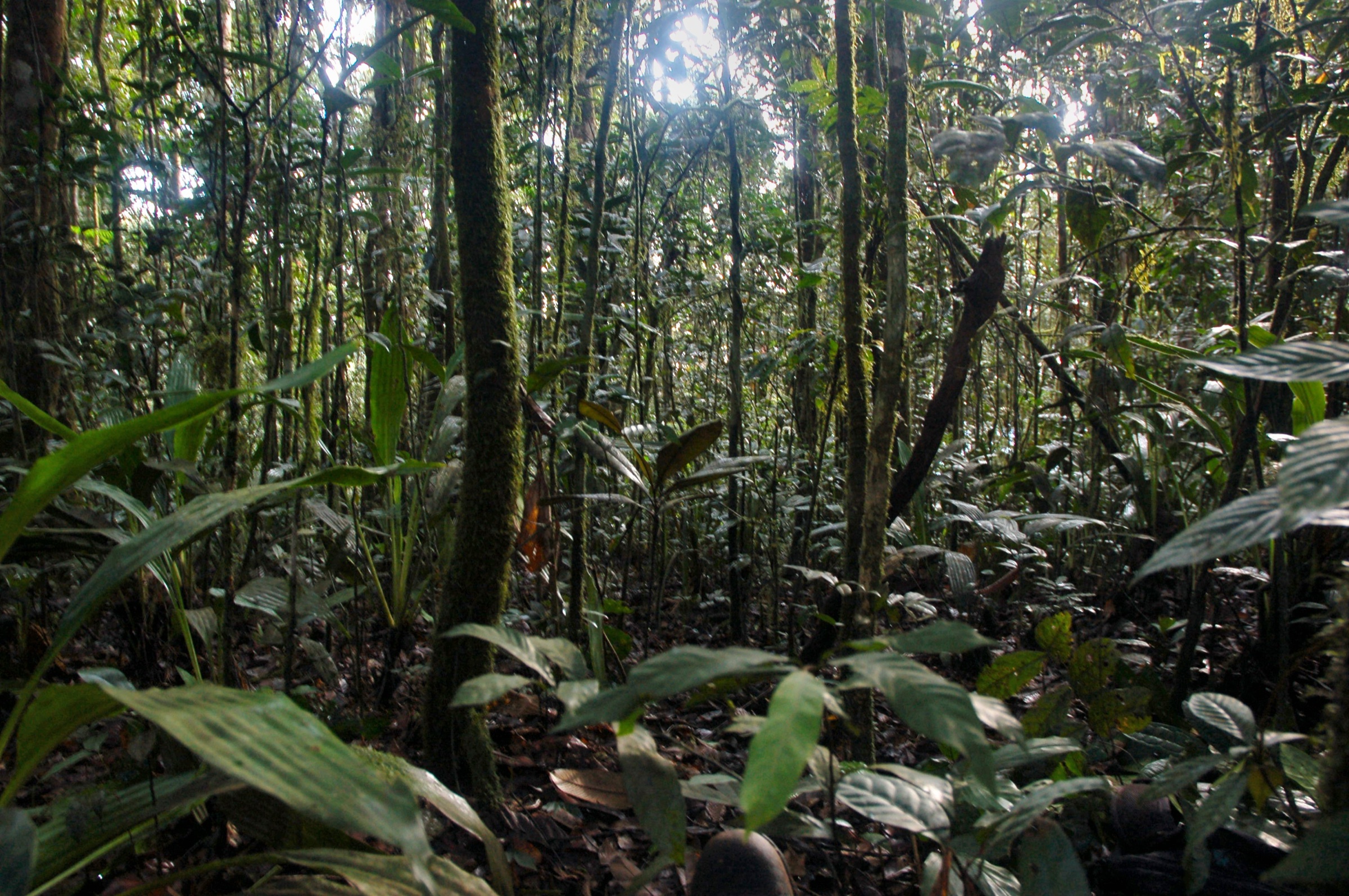
The massif is largely forested and wet. Several high points sit around 860–1,020 m, though summit elevations are reported inconsistently. A dry-season window is likely to be preferable, although local rainfall, forest tracks, river crossings, and park access conditions need confirmation close to departure.
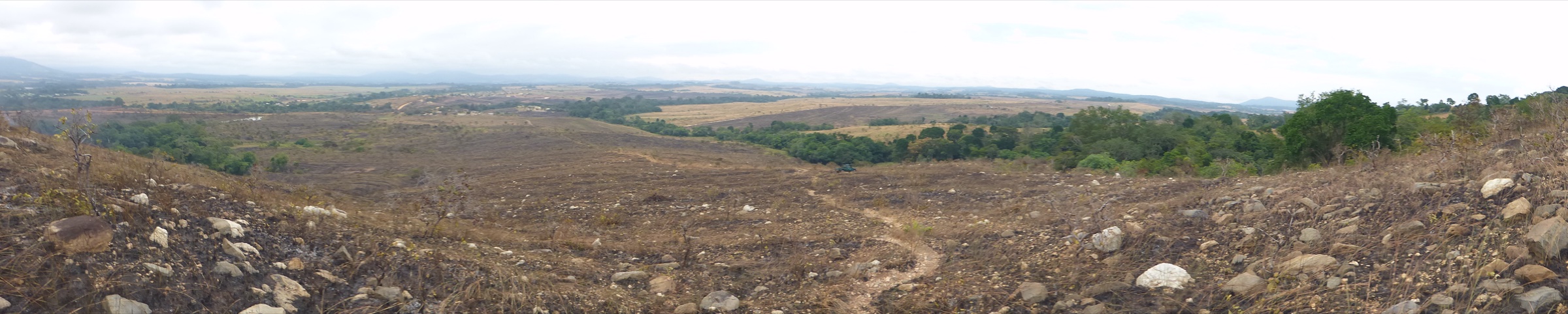
This entry is deliberately conservative. It selects exactly five essential research targets, but most remain candidate only because no official GPX, mapped tourist trail, public timetable, or full route-stat source has been confirmed. The cover image above shows the summit of Mount Mimongo (Hike 1), one of the few named Chaillu high points with a documented walking approach.
For adjacent and complementary Central African ranges, see the Cristal Mountains on the Equatorial Guinea–Gabon border (the next forested massif north-west) and the Mayombe Mountains across Republic of the Congo, DRC and Angola (the coastal range south of Chaillu). The Cameroon Line / Bamboutos Mountains is the closest higher volcanic landscape further north.
Selection rationale
The five hikes were selected to represent the massif’s main documented themes: a named summit, the disputed high-point area, the central Birougou forests, the Waka rift landscape, and the Lopé-Okanda savanna/forest cultural landscape on the northern Chaillu edge. The Republic of the Congo side remains underrepresented because sourceable day-hike information is not currently available.
Summary table
| # | Hike | Country | Route type | Max elevation | Difficulty |
|---|---|---|---|---|---|
| 1 | Mount Mimongo / Mt Songo from Dibandi | Gabon | Out-and-back, unverified | 860–1,020 m (sources differ) | Candidate only |
| 2 | Mont Iboundji summit approach | Gabon | Out-and-back, unverified | ~980 m | Candidate only |
| 3 | Birougou National Park / Mount Birougou forest walk | Gabon | Guided forest walk, unresolved | 975 m (Mount Birougou) | Candidate only |
| 4 | Waka National Park Ikobe–Ikoi–Onoi rift walk | Gabon | Guided forest/rift walk, unresolved | Unresolved | Candidate only |
| 5 | Lopé-Okanda savanna-forest and petroglyph walk | Gabon | Guided cultural/nature walk, unresolved | Unresolved | Candidate only |
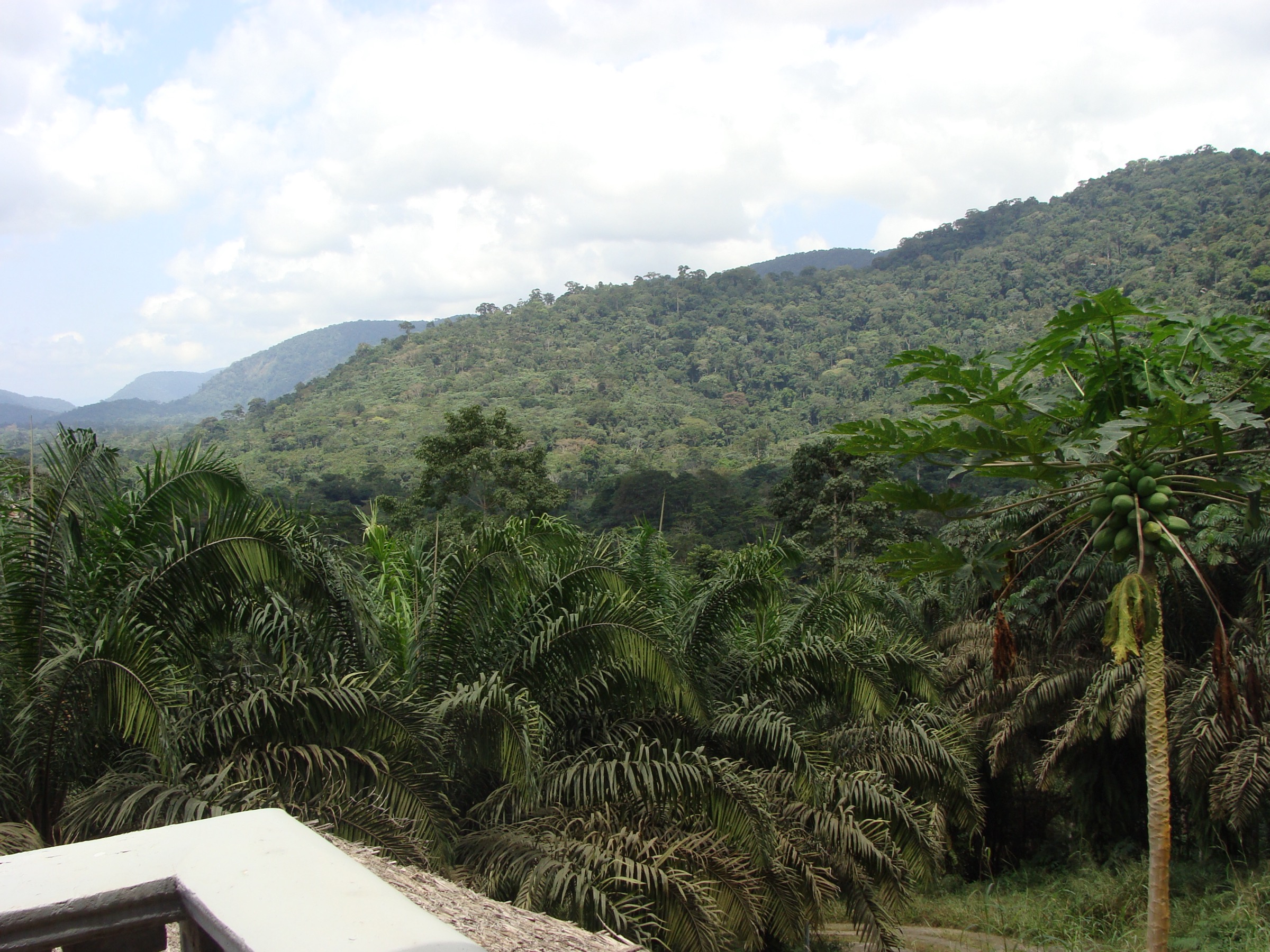
1. Mount Mimongo / Mt Songo from Dibandi
Snapshot
Itinerary
The documented objective is Mount Mimongo, locally Mt Songo, east of Mimongo and approached from Dibandi. A confirmed itinerary is not currently available. The candidate route would leave Dibandi on local forest tracks or footpaths, climb through humid summit forest, and return by the same line unless a local guide confirms a safe loop.
Why it is essential
Mount Mimongo is one of the few named Chaillu summits with a documented walking approach. It also has botanical significance, with endemic or highly restricted plants reported from the mountain.
Equipment
Mountain hiking equipment: sturdy boots, rain layer, long trousers, water, food, navigation backup, insect protection, and a local guide if access is permitted.
Hazards and notes
Route geometry, land access, guide requirements, water crossings, and security conditions are unresolved. Source elevations conflict, so the summit height should not be quoted as precise without a mapping or survey check.
2. Mont Iboundji summit approach
Snapshot
Itinerary
No verified route line is currently available. The candidate route is a local summit approach to Mont Iboundji, a named Chaillu peak. It should remain unpublished until a confirmed trailhead, permission route, mapped line, and local guide/access conditions are verified.
Why it is essential
Mont Iboundji is repeatedly cited as a major Chaillu high point and is central to the range’s geographic identity. It is essential as a research target even though its exact elevation and day-hike route remain unresolved.
Equipment
Mountain hiking equipment, plus long trousers, insect protection, and navigation backup. A local guide should be treated as required until proven otherwise.
Hazards and notes
The principal hazards are unresolved route access, dense rainforest navigation, heat and humidity, storms, and possible river crossings. Claims that Mont Iboundji is Gabon’s highest point are not well supported and should not be repeated as fact.
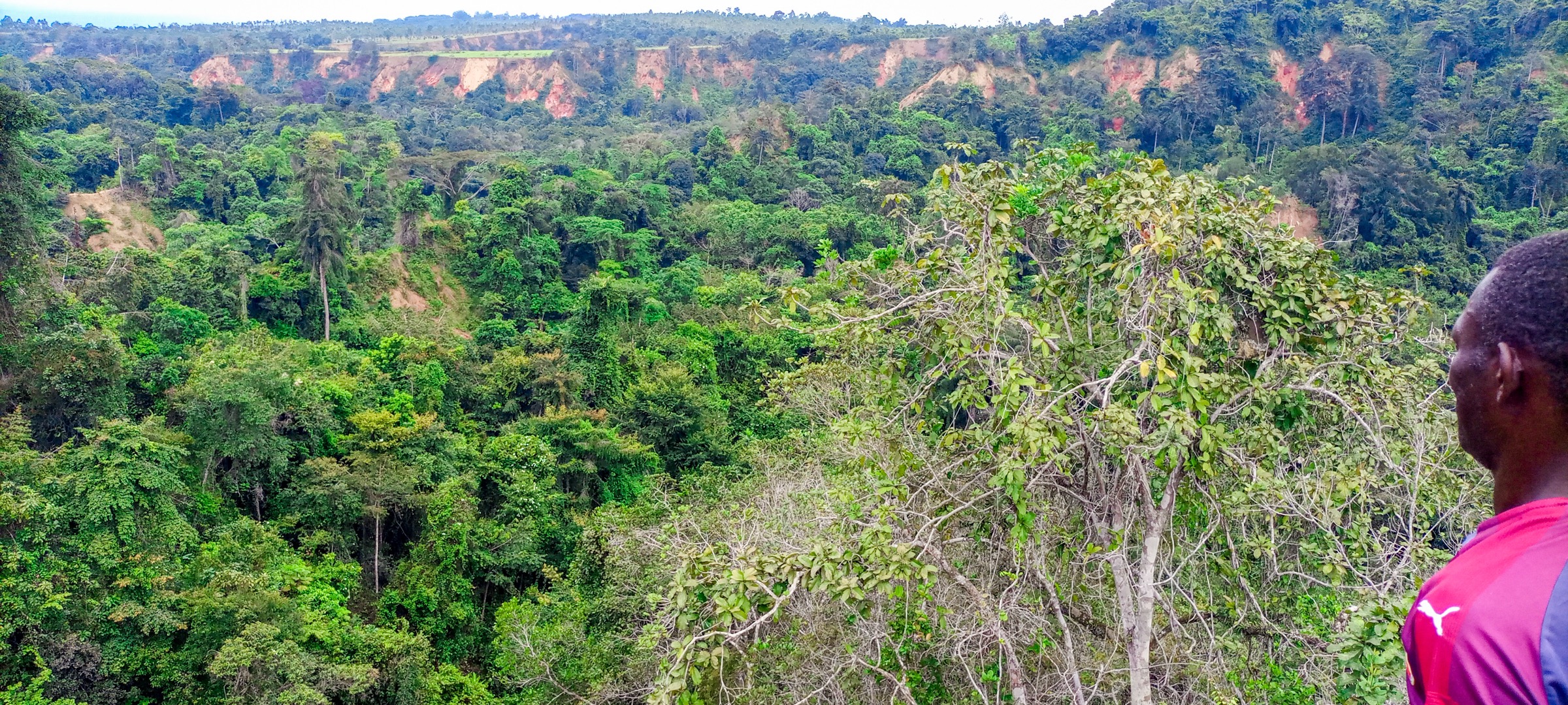
3. Birougou National Park / Mount Birougou forest walk
Snapshot
Itinerary
The route concept is a guided forest walk inside Birougou National Park, potentially toward the Mount Birougou area if park authorities confirm access. No public trail map or route statistics were found.
Why it is essential
Birougou lies in the heart of the Chaillu Massif and protects dense rainforest, wetlands, endemic fauna, and one of the best documented named high points in the range.
Equipment
Mountain hiking equipment, rain protection, insect protection, and a guide/permit check with park authorities.
Hazards and notes
Protected-area access, guide requirements, route status, and visitor infrastructure are unresolved. Forest navigation and wet ground are likely significant issues.
4. Waka National Park Ikobe–Ikoi–Onoi rift walk
Snapshot
Itinerary
The candidate objective is the deeply incised Ikobe–Ikoi–Onoi rift landscape inside Waka National Park. No published visitor route, trailhead, or statistics were found, so the walk should be treated as a protected-area research target rather than a ready guidebook route.
Why it is essential
Waka protects a large block of rainforest and savanna in the Chaillu Massif. The rift feature gives the region a distinctive geomorphological objective beyond summit walking.
Equipment
Mountain hiking equipment, rain protection, insect protection, and local/park guiding.
Hazards and notes
Access conditions, park operations, and permitted walking areas are unresolved. The rift may involve steep, slippery, or densely vegetated terrain.
5. Lopé-Okanda savanna-forest and petroglyph walk
Snapshot
Itinerary
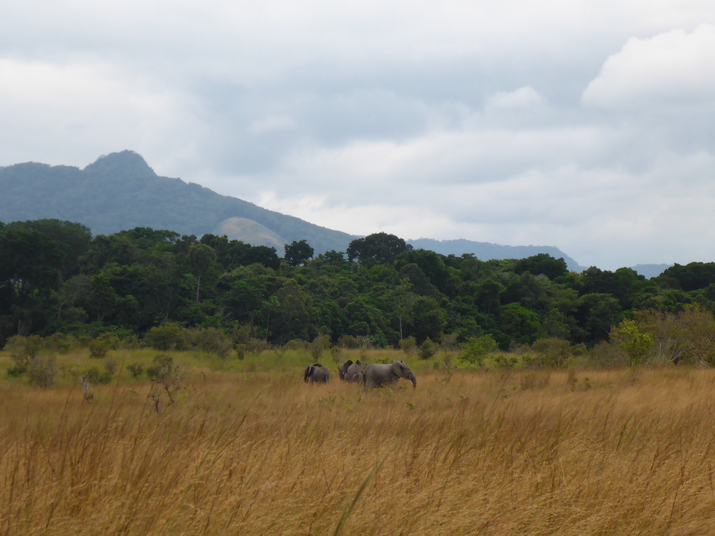
The candidate route is a guided day walk in the Lopé-Okanda landscape, focusing on the savanna-forest mosaic and cultural sites where permitted. The World Heritage landscape, biodiversity, petroglyphs, and tourist/research infrastructure are well documented, but a specific public day-hike line is not.
Why it is essential
Lopé-Okanda is the best documented landscape on the northern edge of the Chaillu Massif and combines ecological and cultural significance. It provides the catalogue’s cultural and viewpoint balance.
Equipment
Standard hiking equipment, sun protection for savanna sections, rain layer, insect protection, and guide/permit confirmation.
Hazards and notes
Protected-area rules, wildlife proximity, annual burning, and permitted access to cultural sites require local confirmation. Do not publish a self-guided route without park approval.
Further reading
| Resource | Link |
|---|---|
| Wikipedia — Chaillu Massif | en.wikipedia.org |
| Wikipedia — Mount Mimongo | en.wikipedia.org |
| Wikipedia — Mont Iboundji | en.wikipedia.org |
| Wikipedia — Birougou National Park | en.wikipedia.org |
| Wikipedia — Waka National Park | en.wikipedia.org |
| Wikipedia — Lopé National Park | en.wikipedia.org |
| UNESCO — Lopé-Okanda | whc.unesco.org |