Regional overview
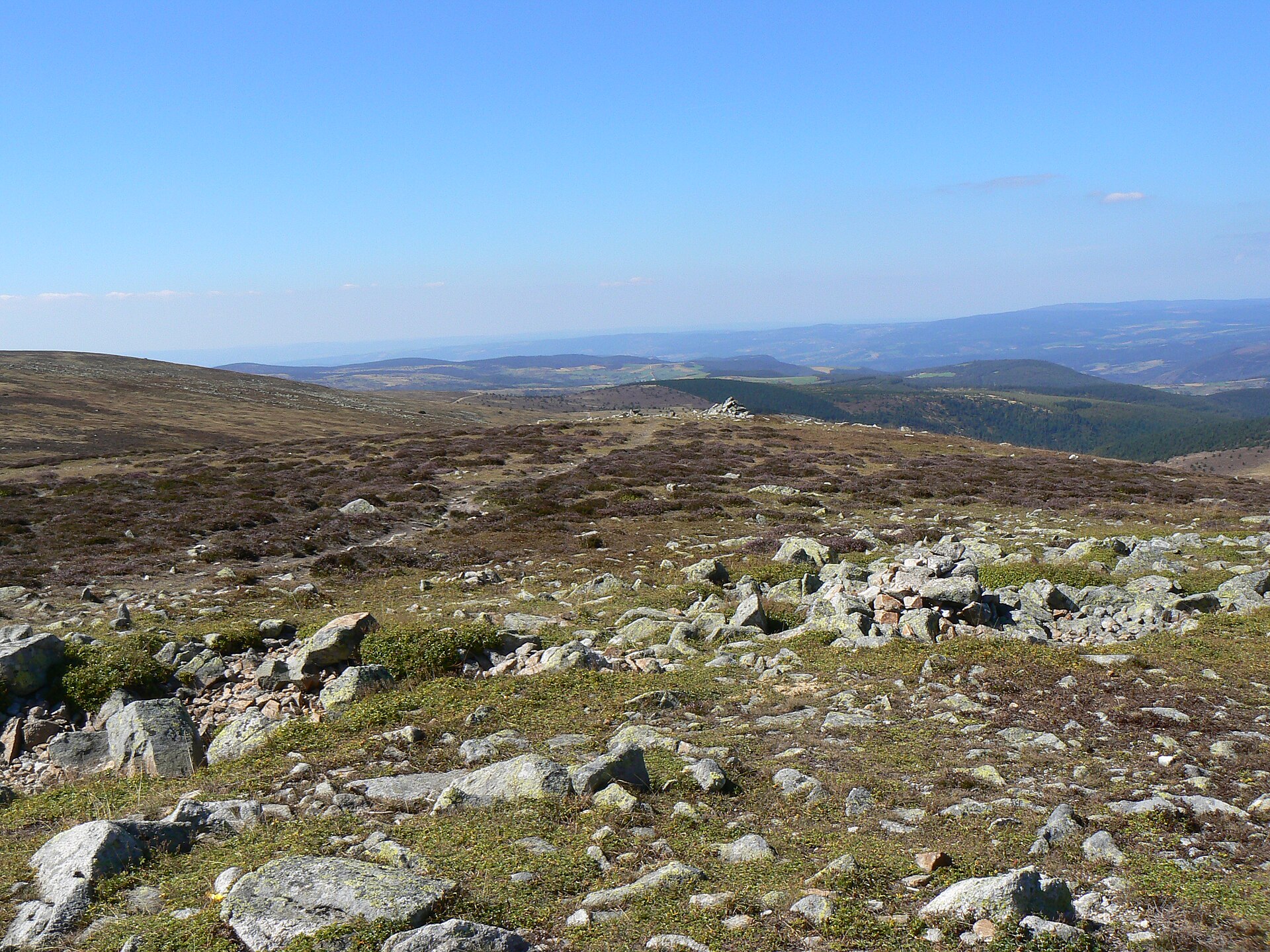
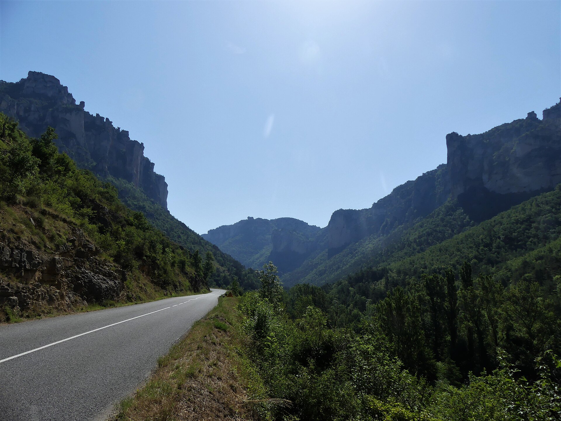
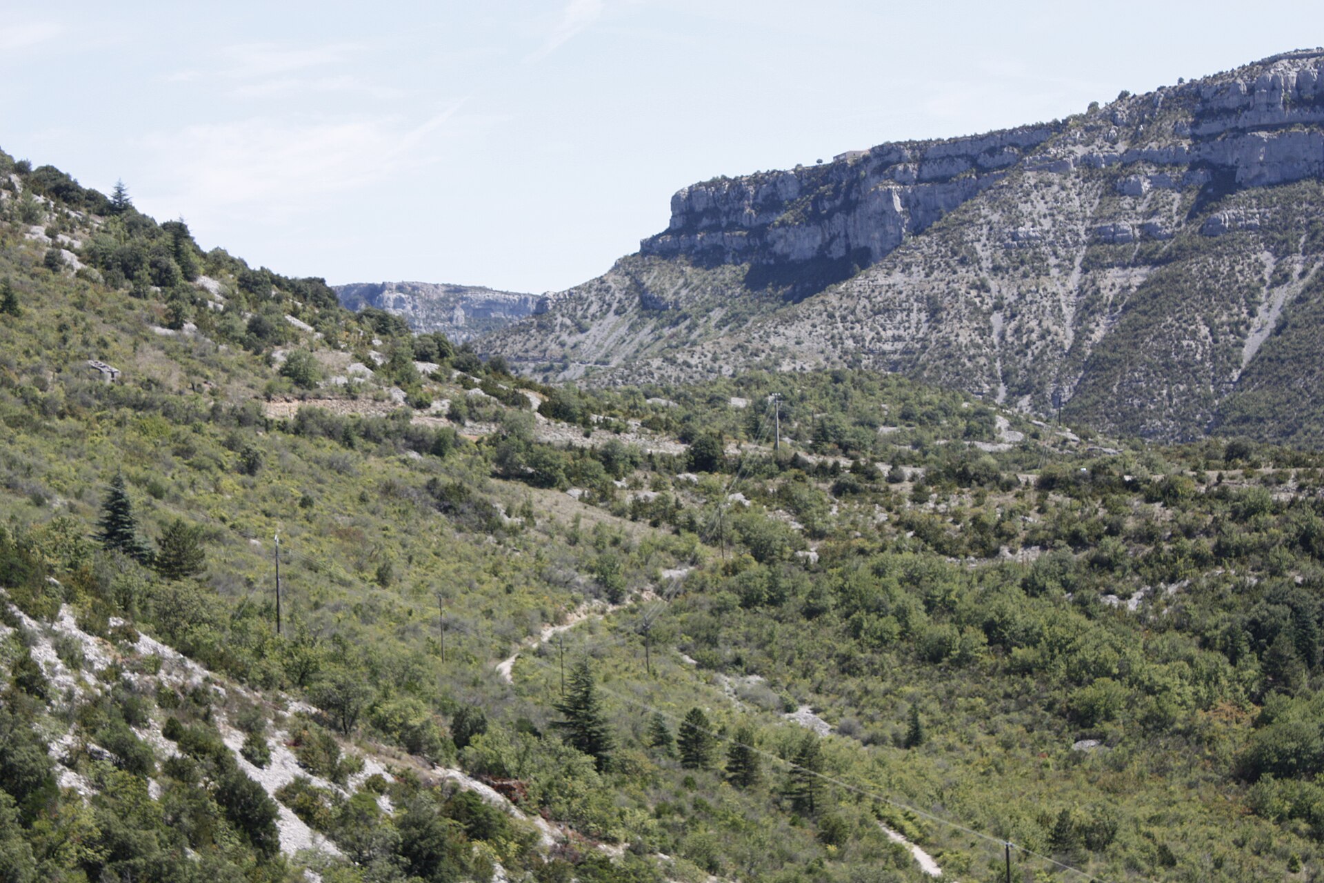
The Cévennes and southern Massif Central form a varied walking region of schist valleys, granite summits, limestone causses, deep gorges, dry karst plateaux, beech forests, chestnut terraces, and long-distance pastoral tracks. UNESCO describes the Causses and Cévennes World Heritage landscape as a 302,319 ha mountain area in southern central France, cut by deep valleys and shaped by Mediterranean agropastoralism and transhumance routes.
The main hiking centres include Mont Aigoual, Mont Lozère, Florac, Le Rozier, the Gorges du Tarn and Jonte, the Causse Méjean, and the Navacelles / Vis valley sector. The Cévennes National Park highlights the park’s massifs, hiking network, protected landscapes, and UNESCO-recognised agropastoral heritage.
The typical walking season runs from spring to autumn, but conditions vary sharply by altitude and exposure. Mont Aigoual and Mont Lozère can be cold, windy, foggy, or snow-covered outside the main summer season; gorge and causse routes can be hot and exposed in midsummer. In the national park core, visitors must respect specific rules. Dogs must be on a lead in the core zone, fires are prohibited, and bivouac is only allowed under specific conditions and in certain sectors.
Selection rationale
These five hikes were selected to represent the main walking identities of the region: a major Cévennes summit ascent, the highest Mont Lozère plateau, the classic Jonte / Tarn corniche landscape, the Vis resurgence and Navacelles cirque, and the Causse Méjean’s dolomitic chaos. Preference was given to routes with official or park-backed route pages, downloadable GPX/KML links, and open-licence media where available.
Summary table
| # | Hike | Sub-region | Route type | Distance | Gain | Max elevation | Difficulty |
|---|---|---|---|---|---|---|---|
| 1 | Les 4000 marches — Valleraugue to Mont Aigoual | Mont Aigoual / Cévennes | Loop | 23.1 km | +1,324 m | 1,565 m | Difficult |
| 2 | Sommet de Finiels | Mont Lozère | Loop | 9.7 km | +295 m | 1,699 m | Medium |
| 3 | Les Corniches du Méjean | Le Rozier / Causse Méjean | Loop | 11.7 km | +788 m | ~874 m (approx.) | Difficult |
| 4 | Cirque de Navacelles et Moulins de la Foux | Cirque de Navacelles / Vis valley | Loop | 9.3 km | +248 m | Medium | |
| 5 | Balade autour de Nîmes-le-Vieux | Causse Méjean | Loop | 6.1 km | +136 m | Easy |
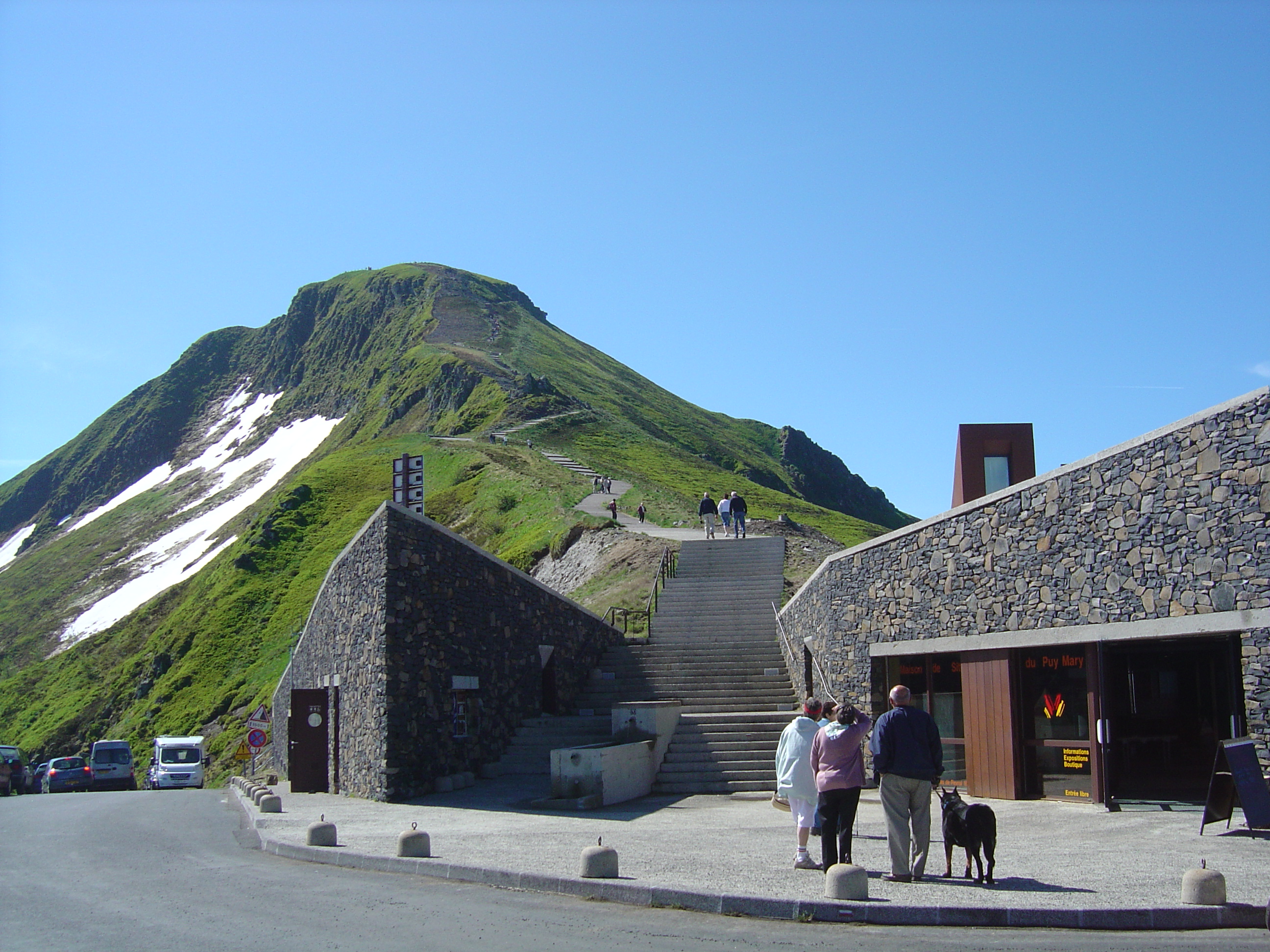
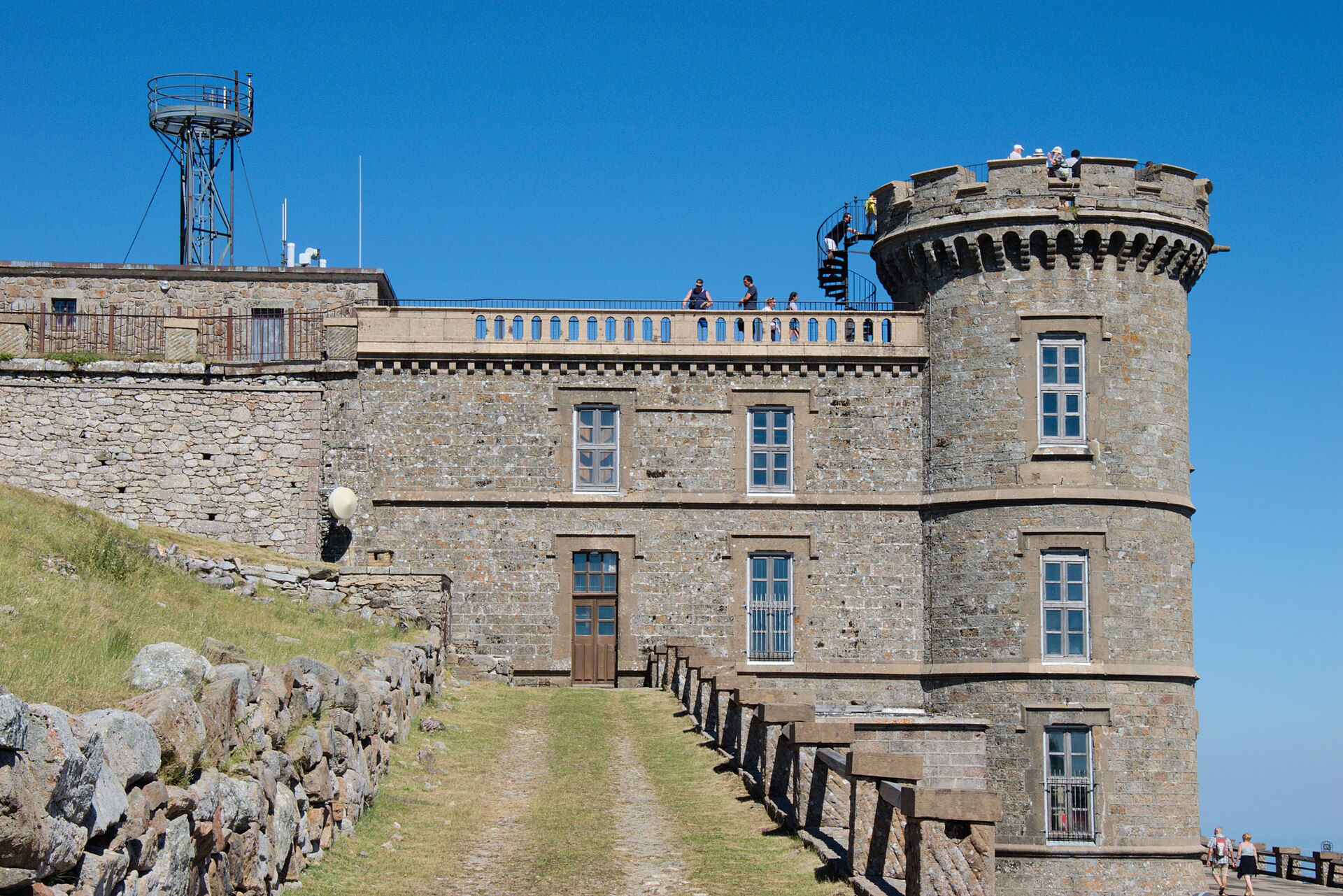
1. Les 4000 marches — Valleraugue to Mont Aigoual
Snapshot
Itinerary
This long mountain loop starts at Valleraugue and follows the historic ascent known as the “4000 marches” towards Mont Aigoual. The official route description directs walkers from “Valleraugue - Office du Tourisme” towards the Belvédère des 4000, then via Roc Noir, Rocalte, L’Estivel, Plo Caballa, Casalis, La Fageole, L’Apollon, and the Menhir de Trépaloup, with an optional out-and-back to the Mont Aigoual summit. The descent returns by Combe Rude, Font de Trépaloup, Combe de Lambert, Cap de Brion, Aire de Côte, Le Fageas, Combe Première, Le Châtaignier, and Foyas.
Why it is essential
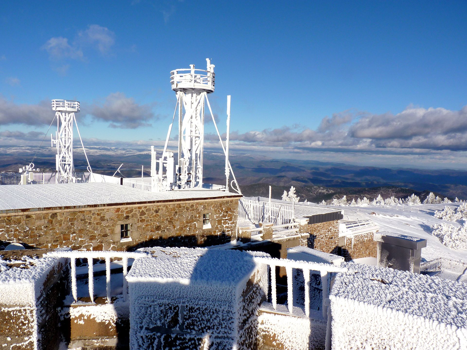
This is the classic long ascent of Mont Aigoual from the Cévennes valley floor to one of the main summits of the national park. The official route describes it as an emblematic itinerary using the former postman’s path and gaining about 1,220 m to the high point of the Gard.
Equipment
- Sturdy boots
- Weatherproof layer
- Warm layer
- Water
- Food
- Map/GPS
- Sun protection
- Trekking poles recommended
- Headtorch for delays
- Check for snow, ice, and high wind outside the main summer season
Hazards and notes
This is a long, strenuous day with large ascent and descent. Mont Aigoual is exposed to wind, fog, storms, and rapid weather changes. Snow or ice may affect the summit and forest tracks outside the main summer season. National park core rules may apply; dogs must be on a lead in the core zone and fire is prohibited.
GPX / KML links
| Source | URL | Format | Notes |
|---|---|---|---|
| Destination Cévennes / Geotrek | geotrek-admin.cevennes-parcnational.net | GPX | Terms not found in source pass; use as temporary source route; replace later. |
| Destination Cévennes / Geotrek | geotrek-admin.cevennes-parcnational.net | KML | Terms not found in source pass; use as temporary source route; replace later. |
Further reading
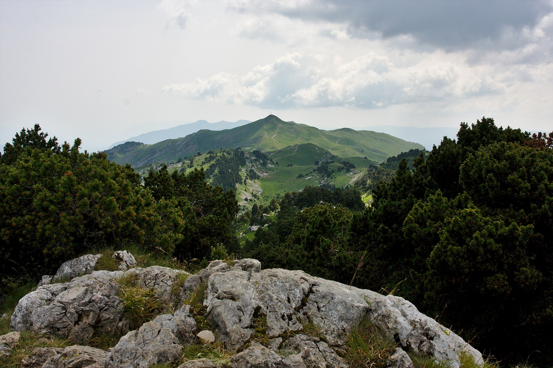
2. Sommet de Finiels
Snapshot
Itinerary
The loop starts from the Station du Mont Lozère and climbs towards the Finiels crest, the summit of Mont Lozère. The official route page identifies the hike as a 9.7 km loop with 3 h walking time, +295 m and -296 m, and describes it as the ascent of the summit of Lozère. The route directions use marked junctions around the station and the Finiels crest; the page also notes summer public transport access and road access to the station.
Why it is essential
Finiels is the highest point of Mont Lozère and one of the key high-level walking objectives in the Cévennes National Park. It gives a compact introduction to the granite uplands, open summit pasture, and transhumance landscape of the Causses and Cévennes.
Equipment
- Sturdy boots
- Weatherproof layer
- Warm layer
- Water
- Food
- Map/GPS
- Sun protection
- Trekking poles recommended
- Hat and gloves outside midsummer
- Snow equipment may be required in winter or after cold spells
Hazards and notes
The route is shorter than the Aigoual ascent but more exposed to wind, fog, and winter conditions. The open summit plateau can be confusing in poor visibility. National park core rules may apply; dogs must be on a lead in the core zone and bivouac is regulated.
GPX / KML links
| Source | URL | Format | Notes |
|---|---|---|---|
| Destination Cévennes / Geotrek | geotrek-admin.cevennes-parcnational.net | GPX | Terms not found in source pass; use as temporary source route; replace later. |
| Destination Cévennes / Geotrek | geotrek-admin.cevennes-parcnational.net | KML | Terms not found in source pass; use as temporary source route; replace later. |
Further reading
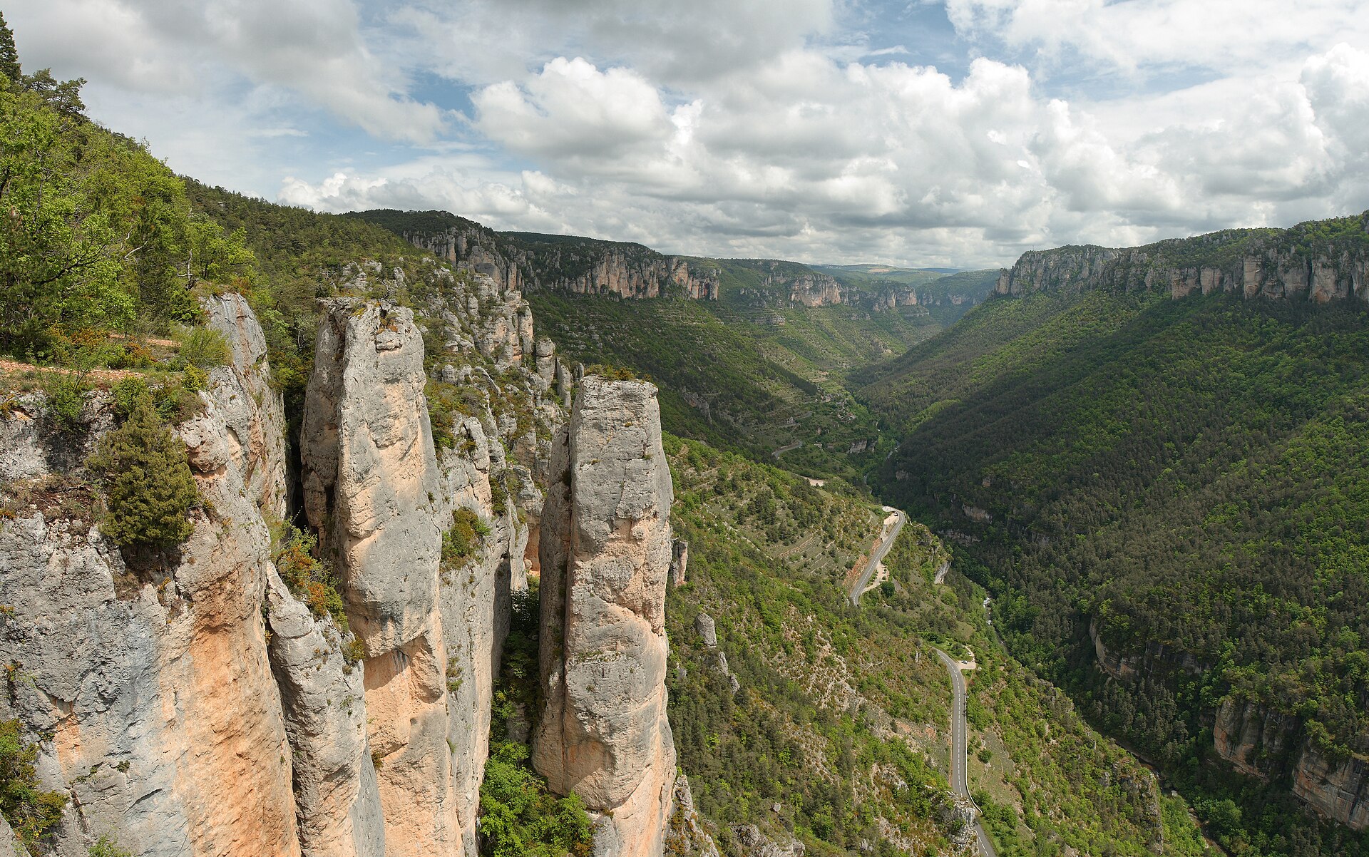
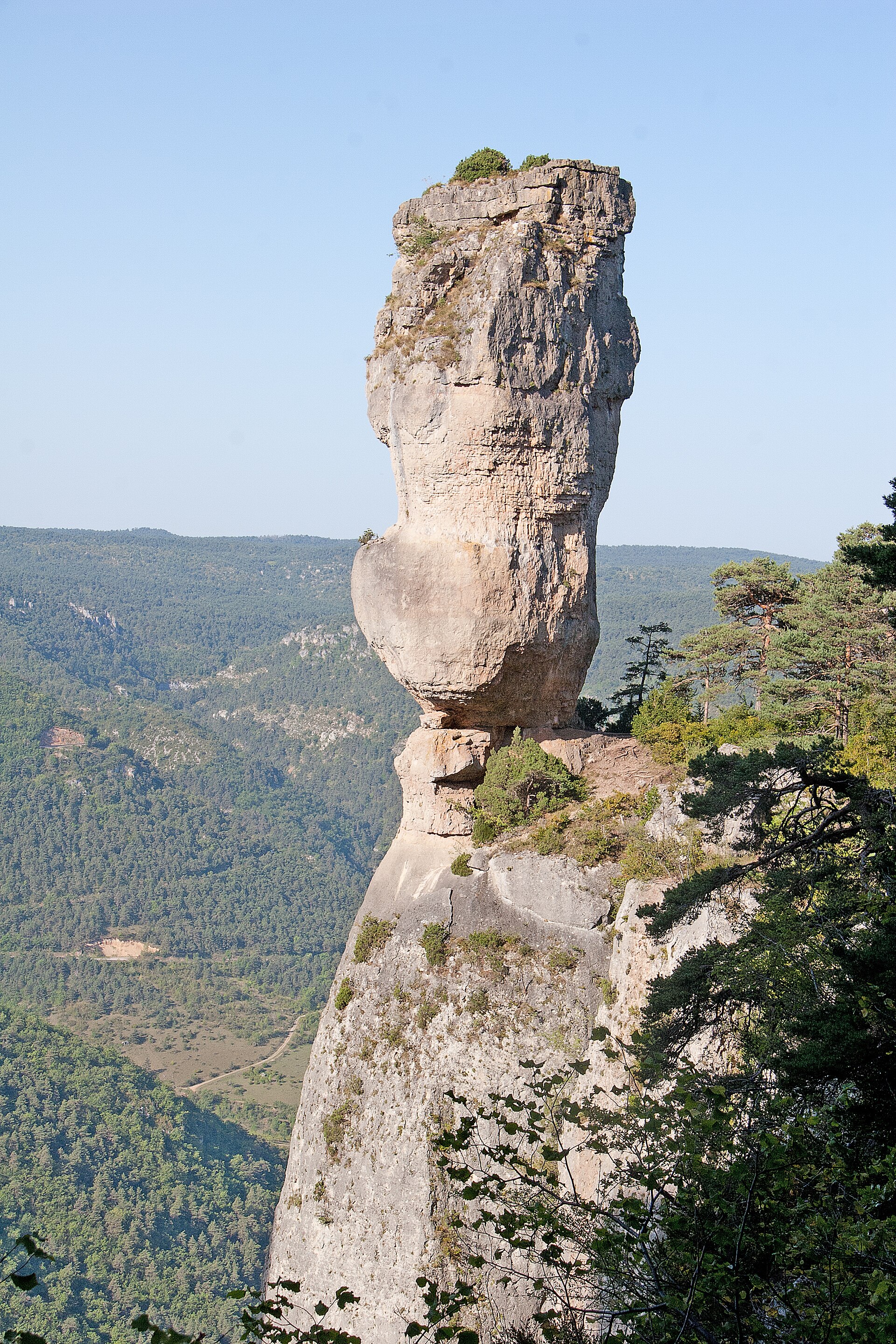
3. Les Corniches du Méjean
Snapshot
Itinerary
The loop starts from Le Rozier and climbs steeply towards Capluc and the corniches above the Tarn and Jonte. The official Rando Grands-Causses page gives 11.7 km, 4 h, +788 m and -788 m, and classifies the route as difficult. It identifies the route as a reference hike in the Tarn and Jonte gorges, linking the Vase de Sèvres, Vase de Chine, corniches, black pines, Jonte canyons, and the Balcon du Vertige. The official page currently flags a temporary diversion by the GR6 because of a rockfall.
Why it is essential
This is the region’s classic cliff-and-corniche hike: a compact but steep loop through limestone towers, gorge viewpoints, and vulture habitat above Le Rozier. It represents the dramatic side of the southern Massif Central better than a plateau-only walk.
Equipment
- Sturdy boots
- Weatherproof layer
- Warm layer
- Water
- Food
- Map/GPS
- Sun protection
- Trekking poles optional
- Extra water in hot weather
Hazards and notes
Steep ascent, cliff edges, exposed viewpoints, loose limestone, rockfall risk, and hot conditions on the causse edge. The official page notes a temporary GR6 diversion due to rockfall; this must be checked before use. Keep away from cliff edges and respect any closure or diversion signs.
GPX / KML links
| Source | URL | Format | Notes |
|---|---|---|---|
| Rando Grands-Causses / Geotrek | admin-pnrgca.openig.org | GPX | Terms not found in source pass; use as temporary source route; replace later. |
| Rando Grands-Causses / Geotrek | admin-pnrgca.openig.org | KML | Terms not found in source pass; use as temporary source route; replace later. |
Further reading
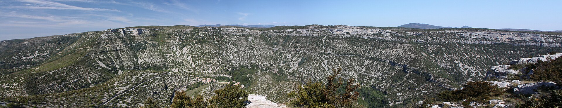
4. Cirque de Navacelles et Moulins de la Foux
Snapshot
Itinerary
This loop starts from Navacelles and follows the Vis upstream towards the Foux resurgence and the old mills. The official Rando Grands-Causses page gives 9.3 km, 3 h 30, +248 m and -248 m, and classifies the route as medium. The route follows the river, passes the Vis bridge and riverside tracks, and reaches the old mills near the resurgence before returning through cedar woodland and former vineyard houses. A tourism page for the same circuit gives a slightly different measurement of 10.0 km and +167 m, indicating either a measurement or variant discrepancy.
Why it is essential
The hike combines three defining features of the southern limestone country: the entrenched meander of the Cirque de Navacelles, the clear Vis river, and the Foux resurgence with its historic mills. It provides a lower-altitude counterpart to the high Cévennes summit walks.
Equipment
- Hiking shoes or boots
- Weatherproof layer
- Water
- Food
- Map/GPS
- Sun protection
- Extra water in hot weather
- Good-grip footwear in wet weather
Hazards and notes
The official description notes a riverside section, a slippery passage in wet weather, and an inundable path near the Vis. Avoid the route during floods, storms, or after heavy rainfall. Summer heat can be significant in the cirque. Check current parking, shuttle, and access rules before departure.
GPX / KML links
| Source | URL | Format | Notes |
|---|---|---|---|
| Rando Grands-Causses / Geotrek | admin-pnrgca.openig.org | GPX | Terms not found in source pass; use as temporary source route; replace later. |
| Rando Grands-Causses / Geotrek | admin-pnrgca.openig.org | KML | Terms not found in source pass; use as temporary source route; replace later. |
Further reading
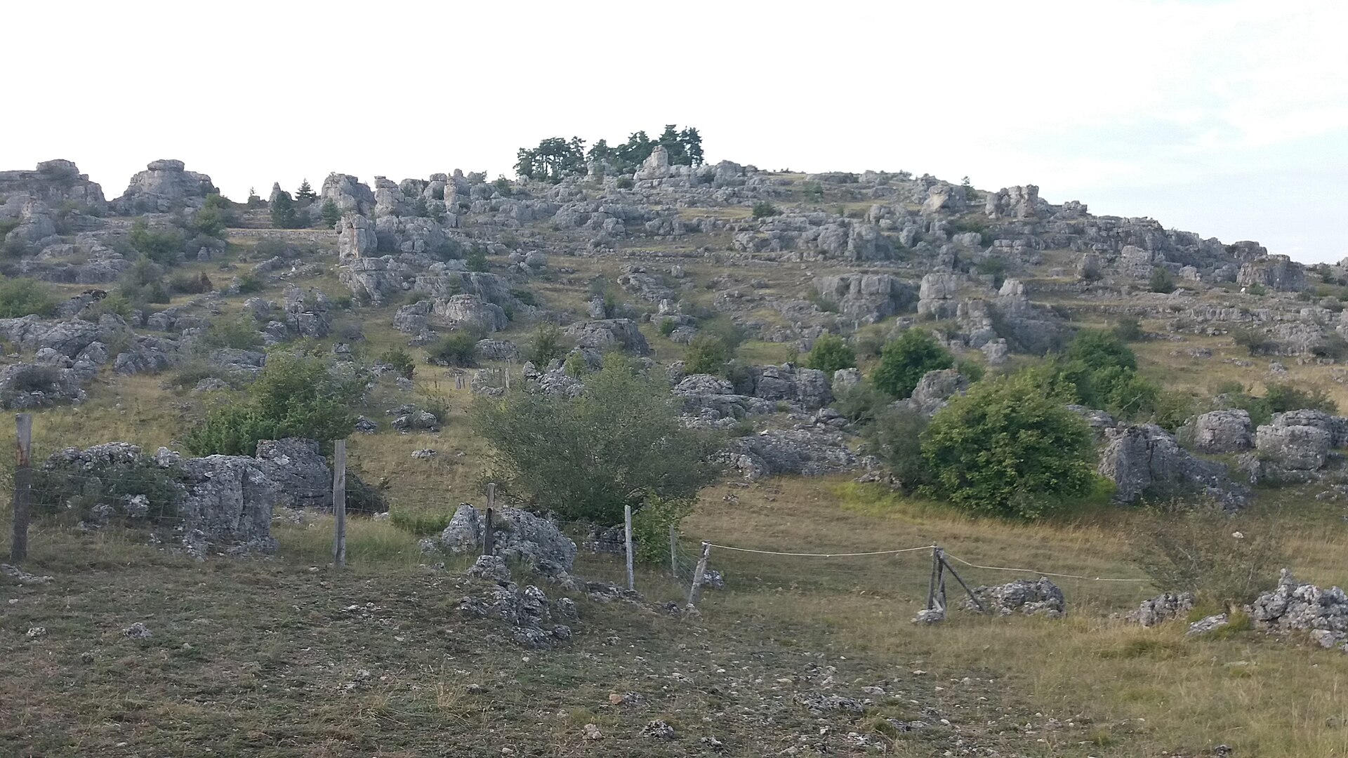
5. Balade autour de Nîmes-le-Vieux
Snapshot
Itinerary
The loop explores the dolomitic rock formations of Nîmes-le-Vieux on the Causse Méjean. The official Destination Cévennes page gives 6.1 km, 3 h, +136 m and -137 m, and classifies the route as easy. The route page describes the “chaos” as dolomitic limestone shaped by dissolution, with typical Causse Méjean landscapes: dry stony rises, deeper soil basins, cornices, and broken rock formations. Important current access note: the official page states that the path is closed from 1 June to 1 July 2026 at the landowner’s request because of a flock and livestock guardian dog, with a short alternative proposed.
Why it is essential
Nîmes-le-Vieux is one of the clearest short walks for understanding the Causse Méjean: open limestone plateau, pastoral land, karst processes, and striking dolomitic forms. It balances the longer summit and gorge routes with a shorter geology-focused walk.
Equipment
- Hiking shoes
- Weatherproof layer
- Water
- Food
- Map/GPS
- Sun protection
- Extra water in hot weather
- Tick protection may be sensible in grassy areas
Hazards and notes
Respect the current closure from 1 June to 1 July 2026 and any later landowner or pastoral restrictions. Dogs are not recommended on this route according to the official page, and horse riding / mountain biking are not allowed on the trail. The route crosses exposed limestone terrain with limited shade; avoid very hot afternoons.
GPX / KML links
| Source | URL | Format | Notes |
|---|---|---|---|
| Destination Cévennes / Geotrek | geotrek-admin.cevennes-parcnational.net | GPX | Terms not found in source pass; use as temporary source route; replace later. |
| Destination Cévennes / Geotrek | geotrek-admin.cevennes-parcnational.net | KML | Terms not found in source pass; use as temporary source route; replace later. |
Further reading
Further reading
| Source | URL |
|---|---|
| UNESCO World Heritage Centre — Causses and Cévennes agropastoral landscape | whc.unesco.org |
| Parc national des Cévennes | cevennes-parcnational.fr |
| Cévennes National Park core regulations | cevennes-parcnational.fr |
| Rules for visitors in the Cévennes National Park core | cevennes-parcnational.fr |
| Destination Cévennes / Geotrek routes | destination.cevennes-parcnational.fr |
| Rando Grands-Causses / Geotrek routes | rando.parc-grands-causses.fr |