Regional overview
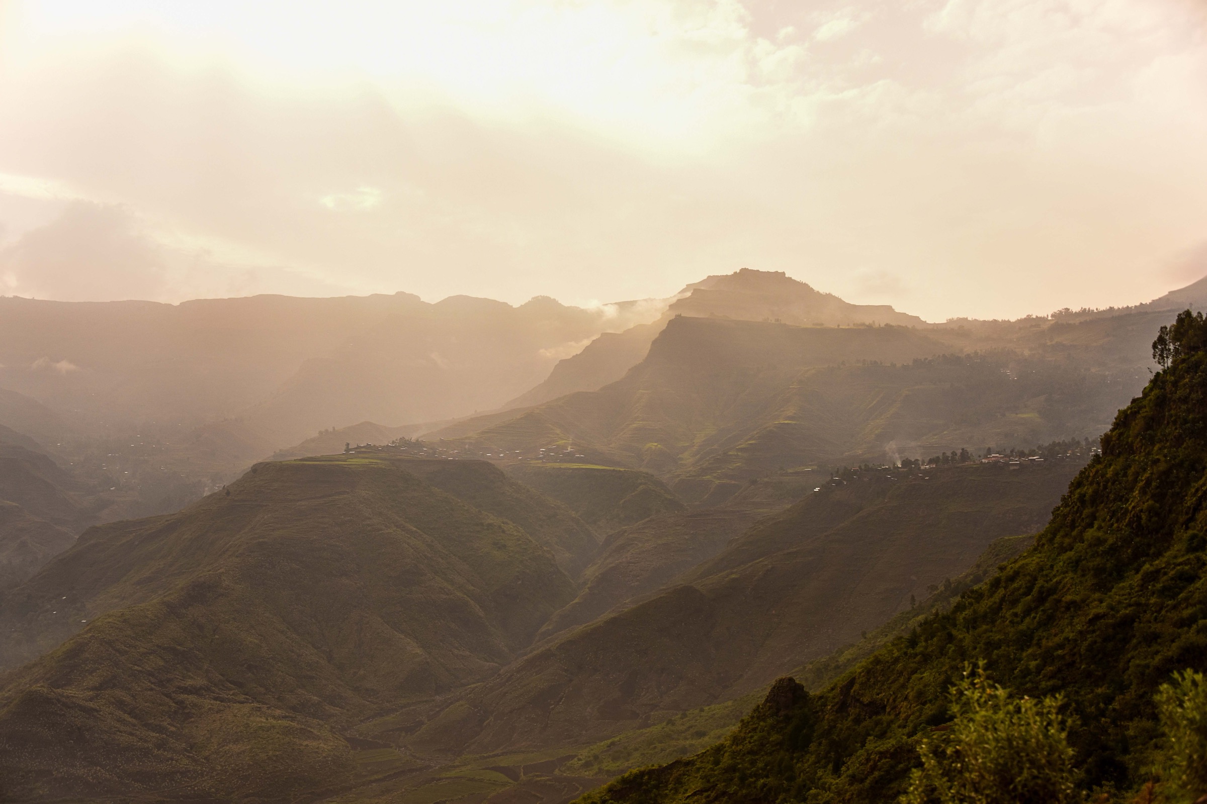
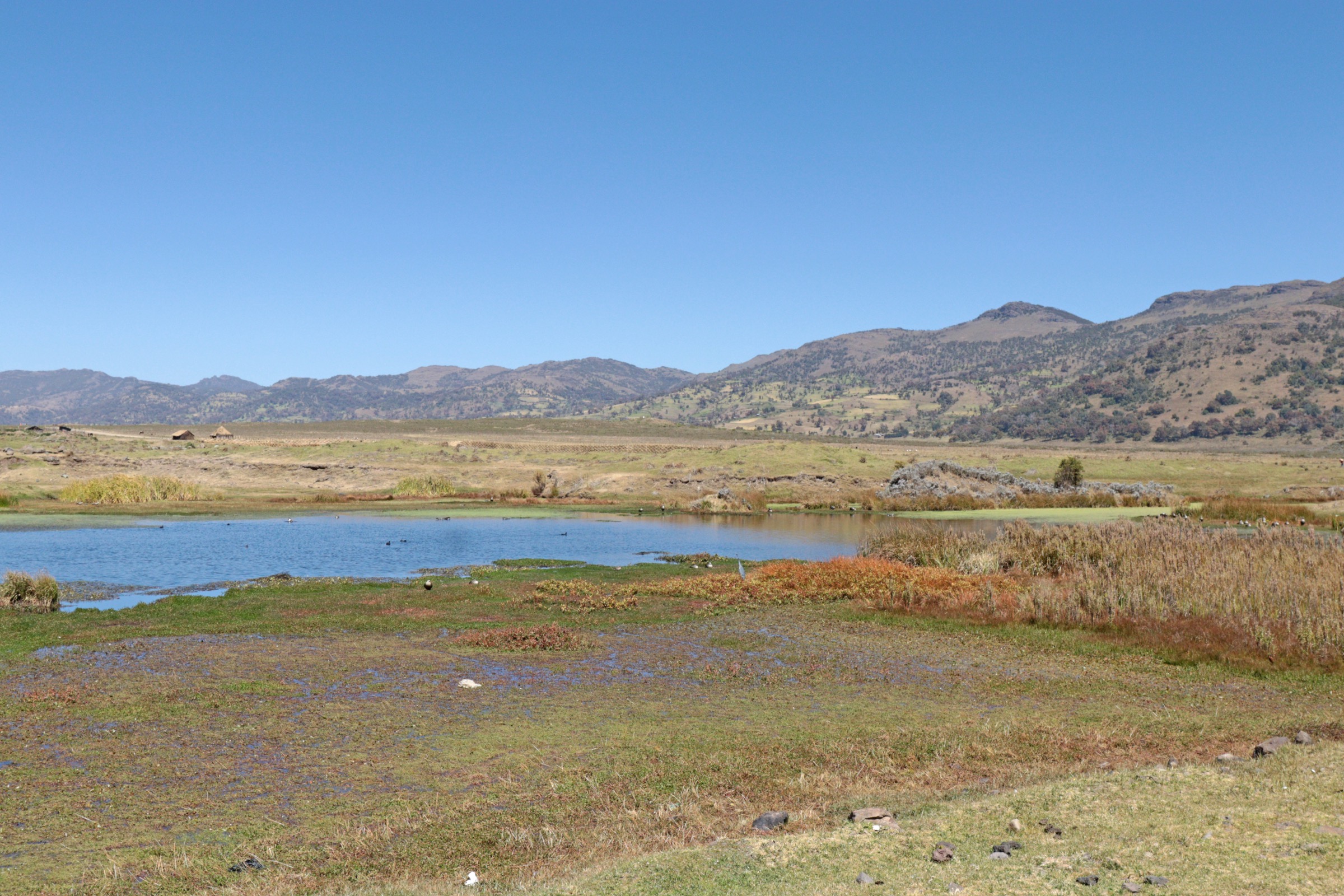
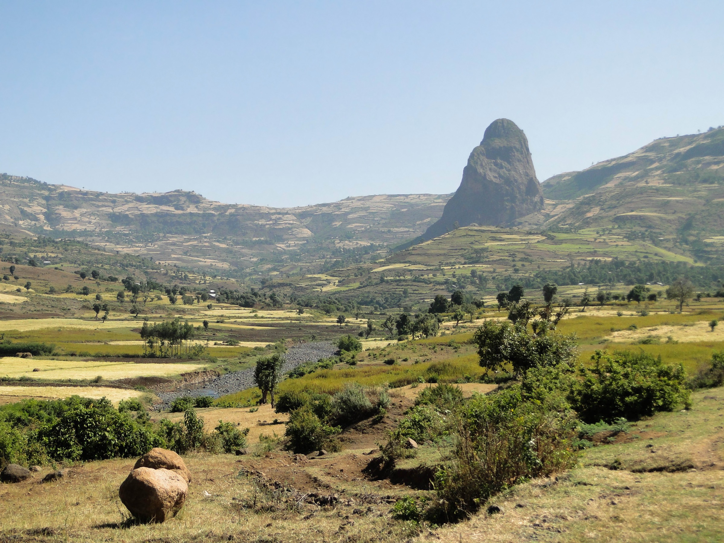
The Guna Massif is a high shield-volcano mountain area in South Gondar, Amhara Region, near Nefas Mewcha and Debre Tabor. Public summit sources identify Guna Terara as a 4,120 m ultra-prominent peak, and general geographic sources describe Mount Guna as a watershed divide between the Abay / Blue Nile and Tekezé systems.
Guna’s hiking value is therefore clear at the landscape scale: high open summit country, watershed ridges, headwaters of rivers flowing toward Lake Tana, and broad views across the northern Ethiopian Highlands. The weakness is route documentation. In this pass, no official day-hike guide, park trail page, or legally downloadable GPX/KML file was found.
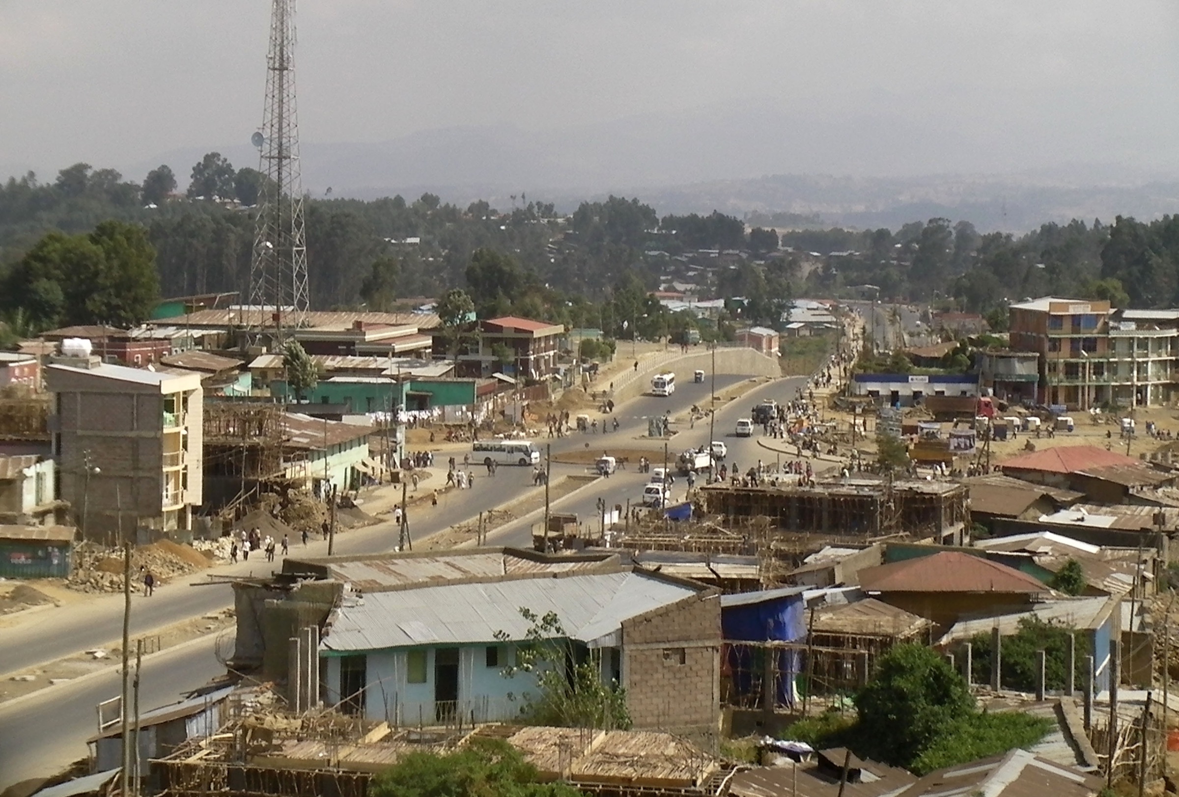
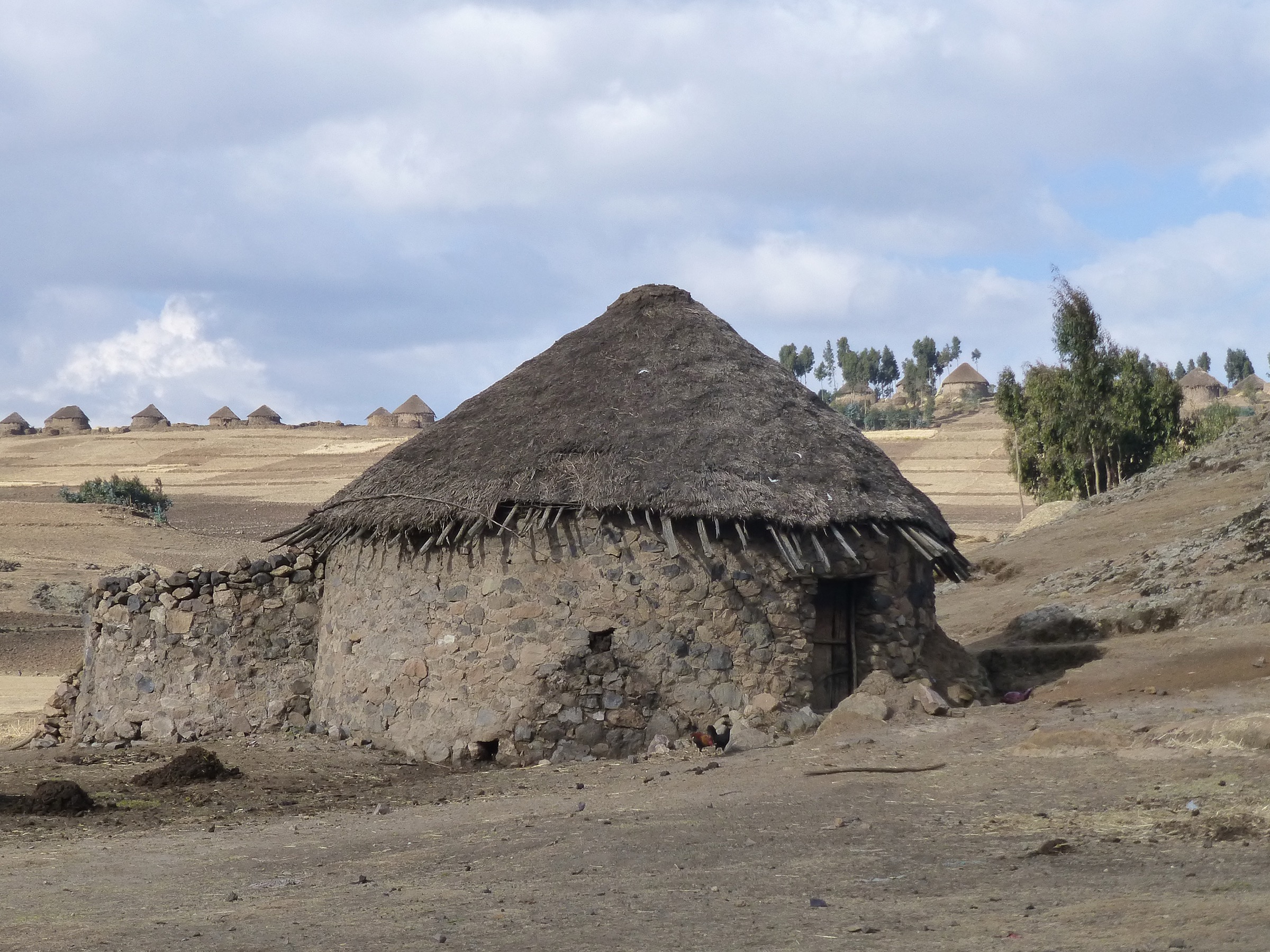
The practical bases are likely Nefas Mewcha, Debre Tabor, and highland settlements around Gasay/Guna, but all exact trailheads remain unresolved. Current access is also a major constraint: as of the U.S. Department of State advisory dated 1 April 2026, Amhara Region is listed as “Do Not Travel” due to armed conflict and unrest.
Selection rationale
The selection uses Guna Terara as the essential summit objective, then adds four research-target walks that represent the massif’s watershed character: a second summit-side approach, Gumara headwaters, Rib headwaters, and an Abay-Tekezé divide segment. These are not publication-ready hikes; they are the five best-supported catalogue targets found in the current pass.
Summary table
| # | Hike | Country | Route type | Distance | Gain | Max elevation | Difficulty |
|---|---|---|---|---|---|---|---|
| 1 | Guna Terara summit candidate | Ethiopia | Out-and-back summit candidate; geometry unresolved | Unresolved | Unresolved | 4,120 m | Hard candidate |
| 2 | Nefas Mewcha-side Guna highland approach | Ethiopia | Out-and-back candidate; geometry unresolved | Unresolved | Unresolved | Unresolved, potentially near summit if linked to Guna Terara | Candidate only |
| 3 | Gumara headwaters viewpoint walk | Ethiopia | Watershed walk candidate; geometry unresolved | Unresolved | Unresolved | Unresolved | Candidate only |
| 4 | Rib / Gasay highland watershed walk | Ethiopia | Highland walk candidate; geometry unresolved | Unresolved | Unresolved | Unresolved | Candidate only |
| 5 | Abay-Tekezé divide ridge segment | Ethiopia | Ridge/point-to-point candidate; geometry unresolved | Unresolved | Unresolved | Unresolved | Candidate only |
1. Guna Terara summit candidate
Snapshot
Itinerary
The objective is the high point of Guna Terara at approximately 11.707152, 38.237053. Peakbagger verifies the elevation, prominence, coordinates, and a small number of logged ascents with a GPS-map lead, but this pass did not verify the exact trailhead, approach line, distance, total ascent, or legal reuse status of any track.
Why it is essential
Guna Terara is the natural anchor of the Guna Massif catalogue: the highest named summit, an Africa 4,000 m objective, and an ultra-prominent peak on the northern Ethiopian Highlands skyline.
Equipment
Mountain hiking equipment: sturdy boots, warm layer, weatherproof layer, hat/gloves outside warm settled weather, navigation backup, water, food, and headtorch. Trekking poles are recommended. Local guiding is strongly recommended.
Hazards and notes
Altitude, exposure to weather, route-finding uncertainty, and remoteness are the main mountain hazards. Current Amhara security conditions are a blocking access issue for publication as a travel route; the U.S. advisory dated 1 April 2026 says not to travel to Amhara Region.
GPX / KML links
| Source | URL | Format / access | Reuse status |
|---|---|---|---|
| Peakbagger — Guna Terara | peakbagger.com | Summit page with GPS-map/trip-report links | Peakbagger copyright/terms apply; route-source lead only, no GPX downloaded or reused |
| OpenStreetMap point/map | openstreetmap.org | Source map, not a route file | OSM data is ODbL; useful for location cross-checking only |
External links
- Peakbagger — Guna Terara, Ethiopia
- Wikipedia — Mount Guna
- U.S. Department of State Ethiopia Travel Advisory, 1 April 2026
2. Nefas Mewcha-side Guna highland approach
Snapshot
Itinerary
Mount Guna is publicly described as lying near Nefas Mewcha and Debre Tabor, but no verified Nefas Mewcha-side day-hike line was found. This entry records the likely access-side research target only.
Why it is essential
Nefas Mewcha is one of the principal named settlements associated with Mount Guna. A verified approach from this side would be essential for turning the summit into a practical day-hike entry.
Equipment
Mountain hiking equipment, with navigation backup, water, food, sun protection, and warm/weatherproof layers.
Hazards and notes
Route status, land access, exact trailhead, and water availability are unresolved. This should not be published as a route until local mapping confirms a legal, walkable line.
GPX / KML links
| Source | URL | Format / access | Reuse status |
|---|---|---|---|
| OpenStreetMap search | openstreetmap.org | Source map/search | OSM data is ODbL; candidate geometry cross-check only |
| Wikiloc search | wikiloc.com | Search page | Wikiloc terms apply if a track is later selected; no GPX selected in this pass |
External links
- Wikipedia — Mount Guna
- Peakbagger — Guna Terara, Ethiopia
- U.S. Department of State Ethiopia Travel Advisory, 1 April 2026
3. Gumara headwaters viewpoint walk
Snapshot
Itinerary
Mount Guna is identified as the origin of the Gumara and other rivers flowing toward Lake Tana. This candidate would follow or overlook the Gumara headwaters, but no mapped public walking route was verified.
Why it is essential
The Guna Massif is important as a watershed as much as a summit. A Gumara headwaters route would connect the massif to Lake Tana and the Blue Nile system in a way a summit-only selection would miss.
Equipment
Standard to mountain hiking equipment depending on the final route: sturdy footwear, water, food, sun protection, warm/weatherproof layer, and navigation backup.
Hazards and notes
Route-finding, seasonal mud, water crossings, and local land access are unresolved. It remains a candidate-only entry.
GPX / KML links
| Source | URL | Format / access | Reuse status |
|---|---|---|---|
| OpenStreetMap search | openstreetmap.org | Source map/search | OSM data is ODbL; candidate geometry cross-check only |
| Wikiloc search | wikiloc.com | Search page | Wikiloc terms apply if a track is later selected; no GPX selected in this pass |
External links
- Wikipedia — Mount Guna
- Wikipedia — Gumara River
- U.S. Department of State Ethiopia Travel Advisory, 1 April 2026
4. Rib / Gasay highland watershed walk
Snapshot
Itinerary
The Rib / Reb River is associated with slopes of Mount Guna, and Gasay appears in public descriptions of the Rib source area. This candidate records a potential highland watershed walk, but no measured route line or trailhead was verified.
Why it is essential
The Rib watershed is one of the key Lake Tana-facing drainage systems tied to Guna. A verified walk here would diversify the Guna entry beyond the summit and represent the settled highland-water source landscape.
Equipment
Standard to mountain hiking equipment, with sturdy footwear, water, sun protection, warm/weatherproof layer, and navigation backup.
Hazards and notes
Access through settlements or agricultural land must be locally agreed. Seasonal mud, dogs, livestock, and unclear tracks are unresolved.
GPX / KML links
| Source | URL | Format / access | Reuse status |
|---|---|---|---|
| OpenStreetMap search | openstreetmap.org | Source map/search | OSM data is ODbL; candidate geometry cross-check only |
| Wikiloc search | wikiloc.com | Search page | Wikiloc terms apply if a track is later selected; no GPX selected in this pass |
External links
- Wikipedia — Mount Guna
- Wikipedia — Reb River
- U.S. Department of State Ethiopia Travel Advisory, 1 April 2026
5. Abay-Tekezé divide ridge segment
Snapshot
Itinerary
Mount Guna is described as part of the divide between the Abay and Tekezé drainage basins. A future route could follow a practical segment of this divide, but no public route source was verified in this pass.
Why it is essential
The Abay-Tekezé divide is the major geographic reason to include Guna as a mountain-region catalogue unit. A verified divide walk would express the massif’s structure more clearly than a single out-and-back summit line.
Equipment
Mountain hiking equipment: boots, warm/weatherproof layers, navigation backup, water, food, and headtorch.
Hazards and notes
This is a candidate-only route. Exact ridge access, land permissions, water sources, escape routes, and current security conditions are unresolved.
GPX / KML links
| Source | URL | Format / access | Reuse status |
|---|---|---|---|
| OpenStreetMap search | openstreetmap.org | Source map/search | OSM data is ODbL; candidate geometry cross-check only |
| AllTrails nearby search | MCP AllTrails check at 11.7072, 38.2371 within 100 km | Trail database check | AllTrails terms apply; no hiking trails returned in this pass |
External links
- Wikipedia — Mount Guna
- Peakbagger — Guna Terara, Ethiopia
- U.S. Department of State Ethiopia Travel Advisory, 1 April 2026
Missing data / follow-up work
- Guna Terara has good summit metadata but no verified public GPX/KML route file in this pass.
- Four of the five entries are watershed/divide research targets rather than measured hikes.
- All distances, ascent/descent totals, walking times, exact trailheads, and local route names remain unresolved.
- No licence-compatible Guna-specific image was found in this pass.
- Local access, guide requirements, land-permission issues, and current security conditions must be verified before publication.
- Amhara Region is under a current U.S. “Do Not Travel” advisory as of 1 April 2026.
External links
| Resource | Link |
|---|---|
| Peakbagger — Guna Terara, Ethiopia | peakbagger.com |
| Wikipedia — Mount Guna | en.wikipedia.org |
| Wikipedia — Gumara River | en.wikipedia.org |
| Wikipedia — Reb River | en.wikipedia.org |
| U.S. Department of State Ethiopia Travel Advisory, 1 April 2026 | travel.state.gov |