

Regional overview
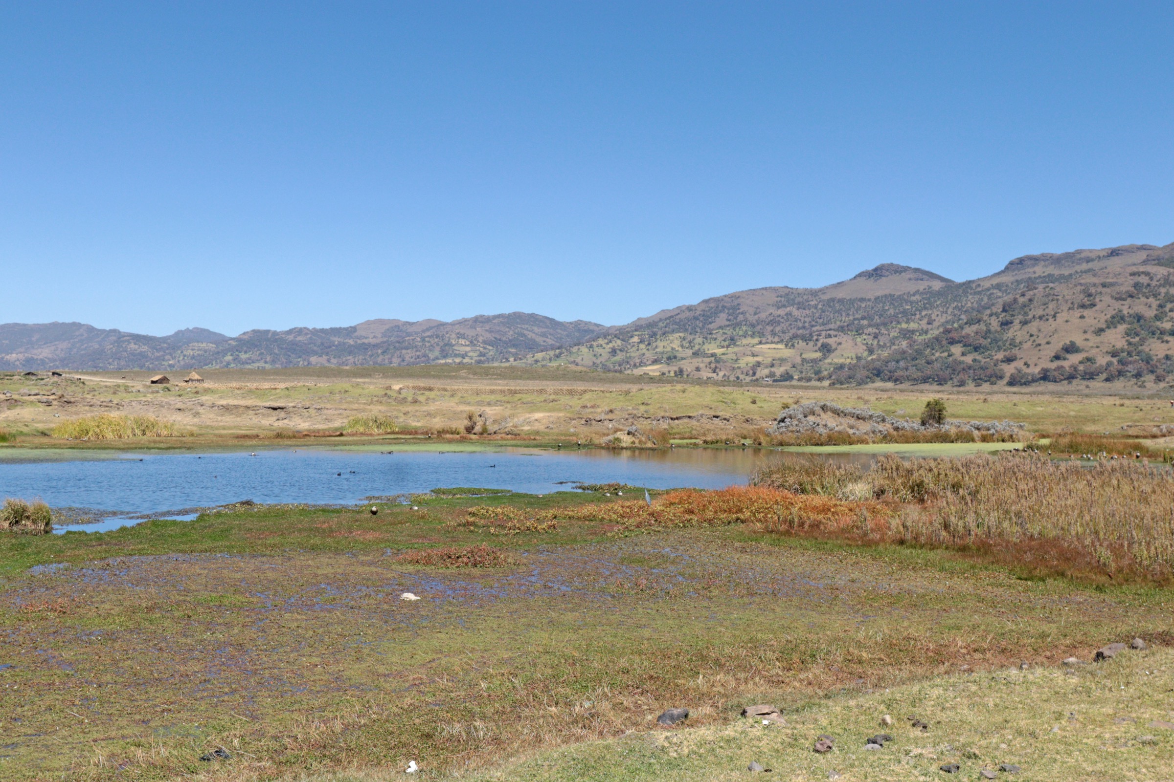
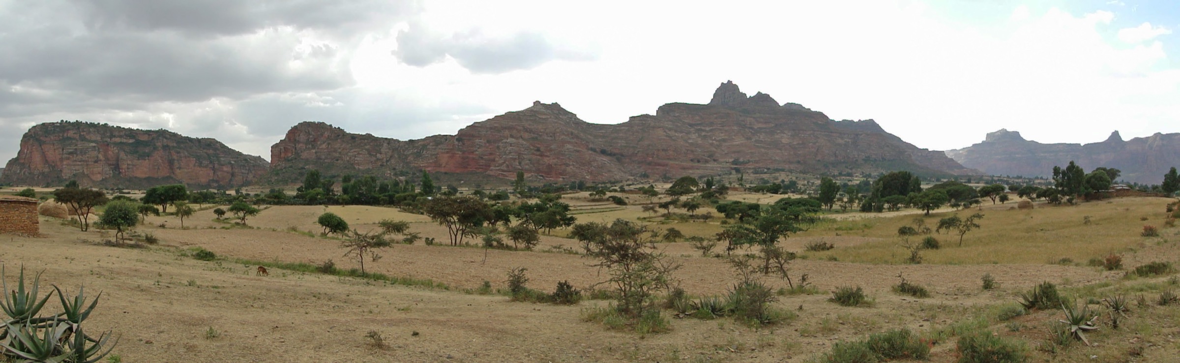
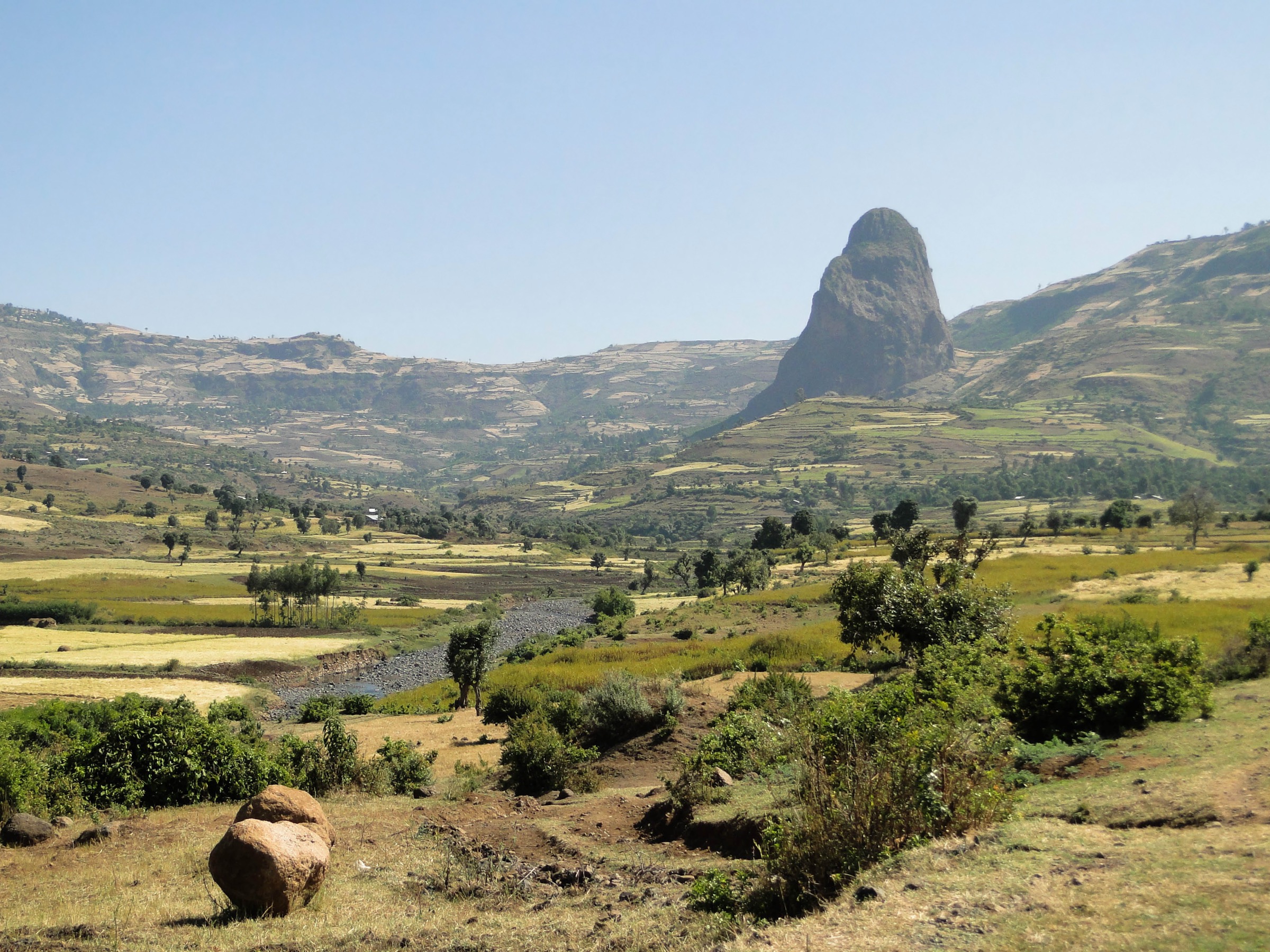
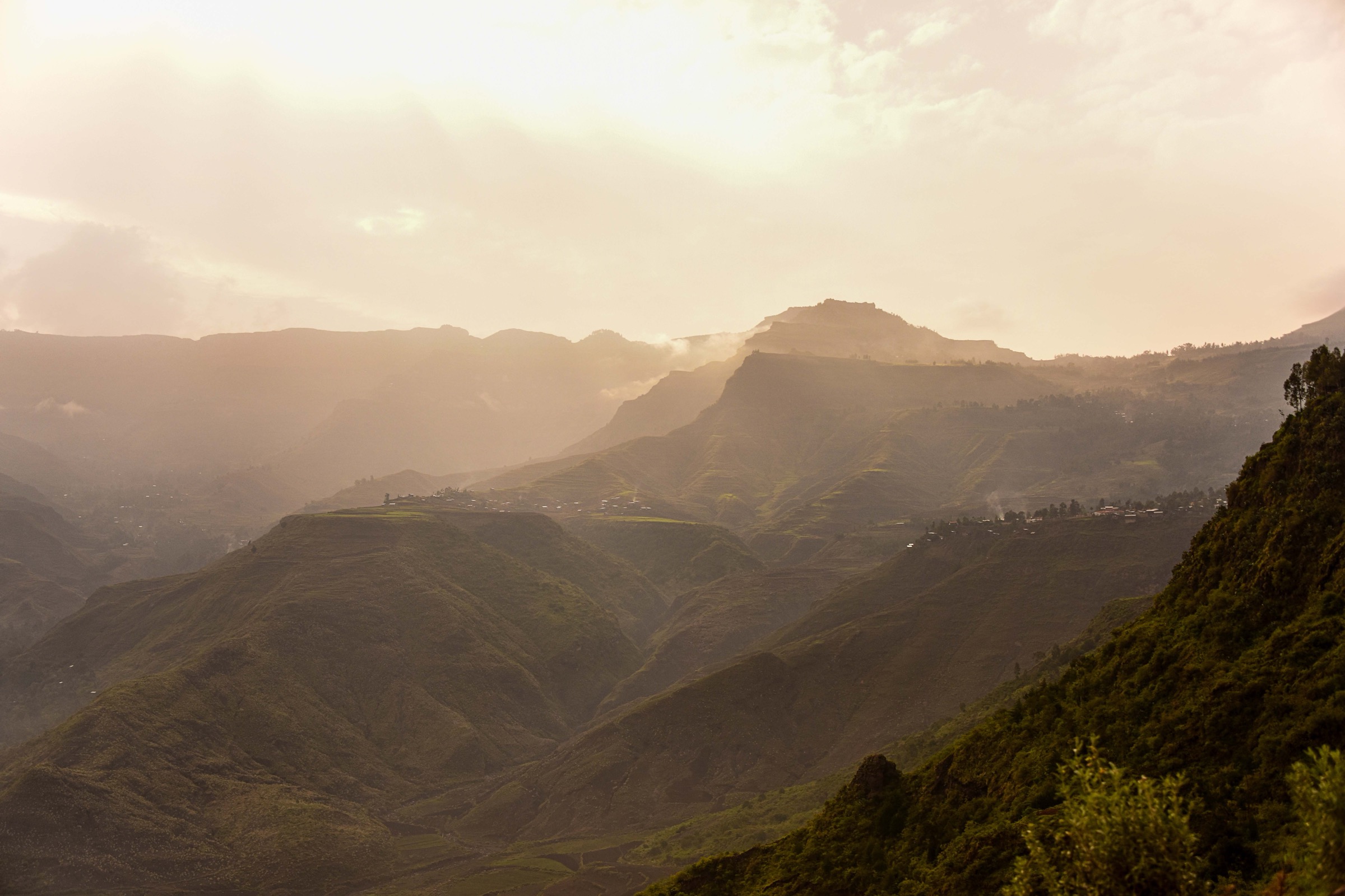
The Abuna Yosef / Abune Yosef massif rises north and east of Lalibela in North Wollo. Sources use several spellings: Abuna Yosef, Abune Yosef and Abuna Yoseph. The massif reaches roughly 4,260-4,300 m depending on source, with Afro-alpine grasslands, Erica remnants, giant lobelia, cliffs, gelada habitat and small Ethiopian wolf populations.
Lalibela is the practical gateway. The area blends mountain walking with cultural landscapes: community trekking guesthouses, high escarpment viewpoints, farms, rock-hewn churches and remote Afro-alpine meadows. Compared with Simien and Bale, public route statistics and GPX sources are much thinner, so several entries remain candidate-level until a local route survey or reputable GPS source is obtained.
The best season is generally the northern Ethiopian dry season, roughly October to March. Nights can be cold above 3,000 m and the high massif can be windy. Community-trekking routes should be arranged through local operators or community guides, with respect for village land, church access rules and local conservation needs.
Selection rationale
The five hikes below balance the Abuna Yosef summit, the accessible Hudad plateau walk from Lalibela, a founding community-trek stage, an East Meket escarpment traverse with Abuna Yosef views, and a high basecamp-to-Afro-alpine approach around Ad Medhane Alem.
Summary table
| # | Hike | Country | Route type | Distance | Gain | Max elevation | Difficulty |
|---|---|---|---|---|---|---|---|
| 1 | Ad Medhane Alem to Abuna Yosef Peak | Ethiopia | Out-and-back / summit day | About 3 h to Afro-alpine meadows before summit | Not verified | 4,260-4,300 m | Hard |
| 2 | Lalibela to Hudad Lodge | Ethiopia | Out-and-back / overnight variant | 3-4 h each way | Not verified | Not verified | Moderate-hard |
| 3 | Werkhaye Mariam to Mequat Mariam | Ethiopia | Point-to-point | 3 h | Not verified | Not verified | Moderate |
| 4 | Yadukulay to Boya | Ethiopia | Point-to-point | 5-6 h | Not verified | 3,200 m at Boya | Moderate-hard |
| 5 | Geneta Mariam to Ad Medhane Alem / Abuna Yosef approach | Ethiopia | Point-to-point / approach hike | Not verified | Not verified | 3,500 m at Ad Medhane Alem | Hard |
1. Ad Medhane Alem to Abuna Yosef Peak

Snapshot
Itinerary
Starting from Ad Medhane Alem, the route begins early, passes through Wedebiye and climbs towards the Afro-alpine meadows. The community-trekking source describes an optional Zigit Peak objective at 4,030 m before continuing through gelada habitat and towards Abuna Yosef peak. Ethiopian wolves occur in the area but are rarely seen.
Why it is essential
This is the principal high summit objective of the Abuna Yosef massif and the clearest day-hike expression of its Afro-alpine landscape.
Equipment
Mountain hiking equipment, warm windproof clothing, sun protection, water, food, navigation backup and headtorch for a long day.
Hazards and notes
Altitude, remoteness and poor public route data are the main concerns. A local guide is strongly recommended. Exact summit elevation varies by source and should be standardised after map/GPS verification.
GPX / KML links
| Source | URL | Format / access | Reuse status |
|---|---|---|---|
| Brilliant Ethiopia — Community Trekking in Lalibela | brilliant-ethiopia.com | Web route description | Copyrighted website content; route facts only; no downloadable GPX |
| OpenStreetMap map area | openstreetmap.org | Source map | ODbL; manual GPX creation required |
External links
- Brilliant Ethiopia — Community Trekking in Lalibela
- Saavedra ed. — The Abune Yosef Massif PDF
- Wikimedia Commons — Lobelia rynchopetalum (Eliza Richman, CC BY-SA 3.0)
2. Lalibela to Hudad Lodge
Snapshot
Itinerary
The route climbs from the Lalibela area to Hudad Lodge, a shorter community-trekking option mentioned for travellers without time for a multi-day trek. It is described as 3-4 h each way and is normally used as a one-night lodge walk, but can be considered a full day by fit walkers if logistics are confirmed.
Why it is essential
Hudad is the accessible escarpment-lodge hike from Lalibela and introduces the plateau-edge community-trekking landscape without requiring a full multi-day route.
Equipment
Mountain hiking equipment, water, food, sun protection and warm layer for the plateau.
Hazards and notes
Exact route statistics and current access rules were not verified. Do not publish as a self-guided route without local confirmation.
GPX / KML links
| Source | URL | Format / access | Reuse status |
|---|---|---|---|
| Brilliant Ethiopia — Community Trekking in Lalibela | brilliant-ethiopia.com | Web route description | Copyrighted website content; route facts only; no downloadable GPX |
| OpenStreetMap map area | openstreetmap.org | Source map | ODbL; manual GPX creation required |
External links
3. Werkhaye Mariam to Mequat Mariam
Snapshot
Itinerary
After a drop-off and guide pickup at Werkhaye Mariam, the route crosses gentle terrain, dirt roads and farmland to Mequat Mariam, the original community trekking guesthouse. The walk gives rural highland views and introduces the community-trekking model developed around Lalibela.
Why it is essential
Mequat Mariam is historically important within the Lalibela community-trekking network and is one of the most representative plateau-edge guesthouse walks.
Equipment
Standard hiking equipment, sun protection, water and modest clothing for village/church contexts.
Hazards and notes
This route is more cultural/rural than wilderness. Exact distance and elevation data remain unresolved. Use local community guide arrangements.
GPX / KML links
| Source | URL | Format / access | Reuse status |
|---|---|---|---|
| Brilliant Ethiopia — Community Trekking in Lalibela | brilliant-ethiopia.com | Web route description | Copyrighted website content; route facts only; no downloadable GPX |
| OpenStreetMap map area | openstreetmap.org | Source map | ODbL; manual GPX creation required |
External links
4. Yadukulay to Boya
Snapshot
Itinerary
From Yadukulay, the route climbs relatively steeply to around 2,800 m, stops near the village of Dufti for lunch in typical community-trek arrangements, and then continues through fields and farmland to the plateau edge at Boya. Boya sits at around 3,200 m and has views west; the route also gives views towards Abuna Yoseph to the north.
Why it is essential
This is the representative East Meket escarpment traverse and includes one of the clearer sourced Abuna Yosef viewpoint descriptions in the community trekking material.
Equipment
Standard to mountain hiking equipment, sun protection, water, food and warm layer.
Hazards and notes
Exact route geometry is unresolved. The route crosses working farmland and village areas; local guide/community arrangements are part of the route’s suitability.
GPX / KML links
| Source | URL | Format / access | Reuse status |
|---|---|---|---|
| Brilliant Ethiopia — Community Trekking in Lalibela | brilliant-ethiopia.com | Web route description | Copyrighted website content; route facts only; no downloadable GPX |
| OpenStreetMap map area | openstreetmap.org | Source map | ODbL; manual GPX creation required |
External links
5. Geneta Mariam to Ad Medhane Alem / Abuna Yosef Approach

Snapshot
Itinerary
The community-trekking source identifies Geneta Mariam as an eastern route node from which trekkers can continue towards Abuna Yoseph and tougher hiking trails. Ad Medhane Alem is described as the basecamp for Abuna Yoseph, sitting on the escarpment edge at about 3,500 m. This approach links the cultural church landscape with the higher massif.
Why it is essential
This is the culturally important high approach to the Abuna Yosef basecamp area, connecting Lalibela’s rock-church hinterland with the Afro-alpine summit route.
Equipment
Mountain hiking equipment, warm layer, rain/wind shell, water, food, navigation backup and local guide.
Hazards and notes
This route needs field verification before publication. Exact distance, ascent, descent and current community access were not found in licence-compatible public sources.
GPX / KML links
| Source | URL | Format / access | Reuse status |
|---|---|---|---|
| Brilliant Ethiopia — Community Trekking in Lalibela | brilliant-ethiopia.com | Web route description | Copyrighted website content; route facts only; no downloadable GPX |
| OpenStreetMap map area | openstreetmap.org | Source map | ODbL; manual GPX creation required |
External links
Missing data / follow-up work
- Abuna Yosef has the weakest public route-stat source base of the three regions.
- No official GPX/KML downloads found.
- Hudad Lodge, Mequat Mariam, Yadukulay, Boya, Geneta Mariam and Ad Medhane Alem route geometry need local verification.
- Several photo rows are intentionally marked unresolved because operator images and travel-blog images did not show reusable licences.
- Summit elevation should be standardised after choosing an authoritative map source: sources checked range from about 4,260 m to 4,300 m.
External links
| Resource | Link |
|---|---|
| Brilliant Ethiopia — Community Trekking in Lalibela | brilliant-ethiopia.com |
| Saavedra ed. — The Abune Yosef Massif PDF | web.archive.org |
| UNESCO — Rock-Hewn Churches, Lalibela | whc.unesco.org |